The best mountain hikes around Centro-Sur O Guadalorce
4.9
(5)
12
hikers
5
hikes
Mountaineering routes around Centro-Sur O Guadalorce traverse a landscape characterized by dramatic mountain ranges, diverse natural parks, and unique geological features. The region, located in Málaga province, features technical limestone formations and deep gorges, offering varied terrain for ascents. It encompasses areas like El Chorro and the Desfiladero de los Gaitanes Natural Park, known for its impressive rock faces and challenging routes. The terrain includes both high peaks and extensive forest trails, providing a range of mountaineering experiences.
Best mountaineering routes around Centro-Sur O Guadalorce
- The most popular mountaineering route is Pico Huma – Arab Staircase loop from El Chorro-Caminito del Rey, a 8.4 miles (13.6 km) trail that takes 5 hours 21 minutes to complete. This difficult route offers significant elevation gain and panoramic views over the El Chorro area.
- Another top favourite among local mountaineers is Mountaineering loop from Tolox, a moderate 5.8 miles (9.4 km) path. This route leads through the Sierra de las Nieves Natural Park, showcasing its pine forests and mountainous terrain.
- Local mountaineers also love the La Concha Summit Viewpoint loop from Istán, a 9.1 miles (14.7 km) trail leading through mountainous terrain with significant elevation, often completed in about 7 hours 3 minutes.
- Mountaineering around Centro-Sur O Guadalorce is defined by dramatic mountain ranges, limestone cliffs, and deep gorges, with options for different ability levels.
- The routes in Centro-Sur O Guadalorce are highly rated by the komoot community with an average score of 4.9 stars from 8 reviews. More than 20 mountaineers have used komoot to explore Centro-Sur O Guadalorce's varied terrain.
Last updated: July 10, 2026
4.7
(3)
6
hikers
13.7km
05:24
990m
980m
Hard mountaineering route. Very good fitness required. Mostly accessible paths. Sure-footedness required.
5.0
(1)
3
hikers
Moderate mountaineering route. Good fitness required. Mostly accessible paths. Sure-footedness required.

Sign up for free
5.0
(1)
1
hikers
3.58km
01:37
220m
220m
Hard mountaineering route. Great for any fitness level. Sure-footedness, sturdy shoes and alpine experience required.
1
hikers
7.51km
03:02
580m
580m
Moderate mountaineering route. Good fitness required. Easily-accessible paths. Suitable for all skill levels.
1
hikers
Moderate mountaineering route. Good fitness required. Mostly accessible paths. Sure-footedness required.
Our route recommendations are based on thousands of hikes, rides, and runs completed by other people on komoot.
Start today with a free account
Your next adventure awaits.
Login or Signup
Popular around Centro-Sur O Guadalorce

Road to Lisbon – bikepacking the Alps, Pyrenees and Picos de Europa
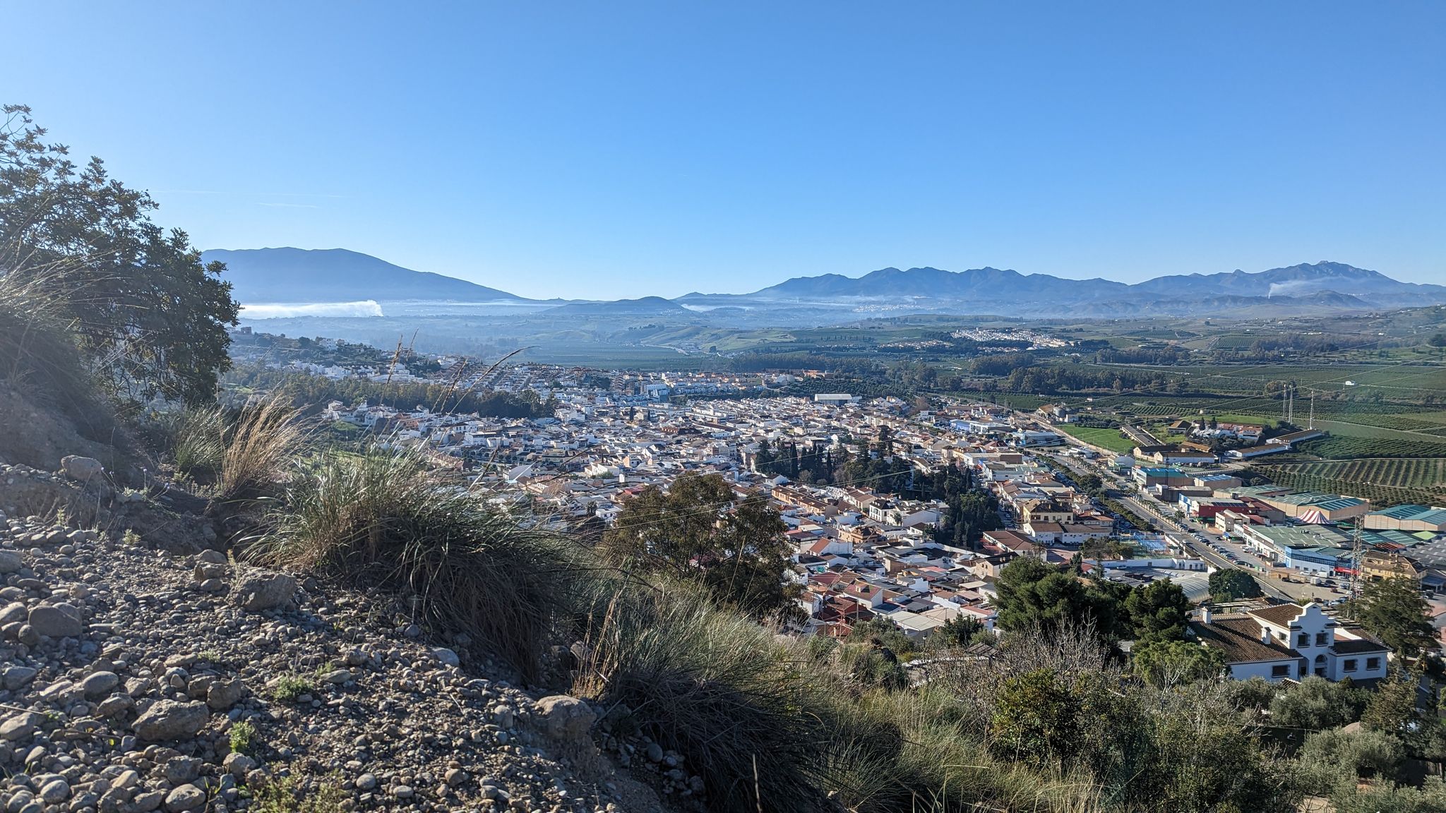
River path to the sea in Andalusia – Gran Senda del Guadalhorce (GR 248)

Andalusia without limits – Tarifa to La Puebla de Don Fabrique on the GR 7
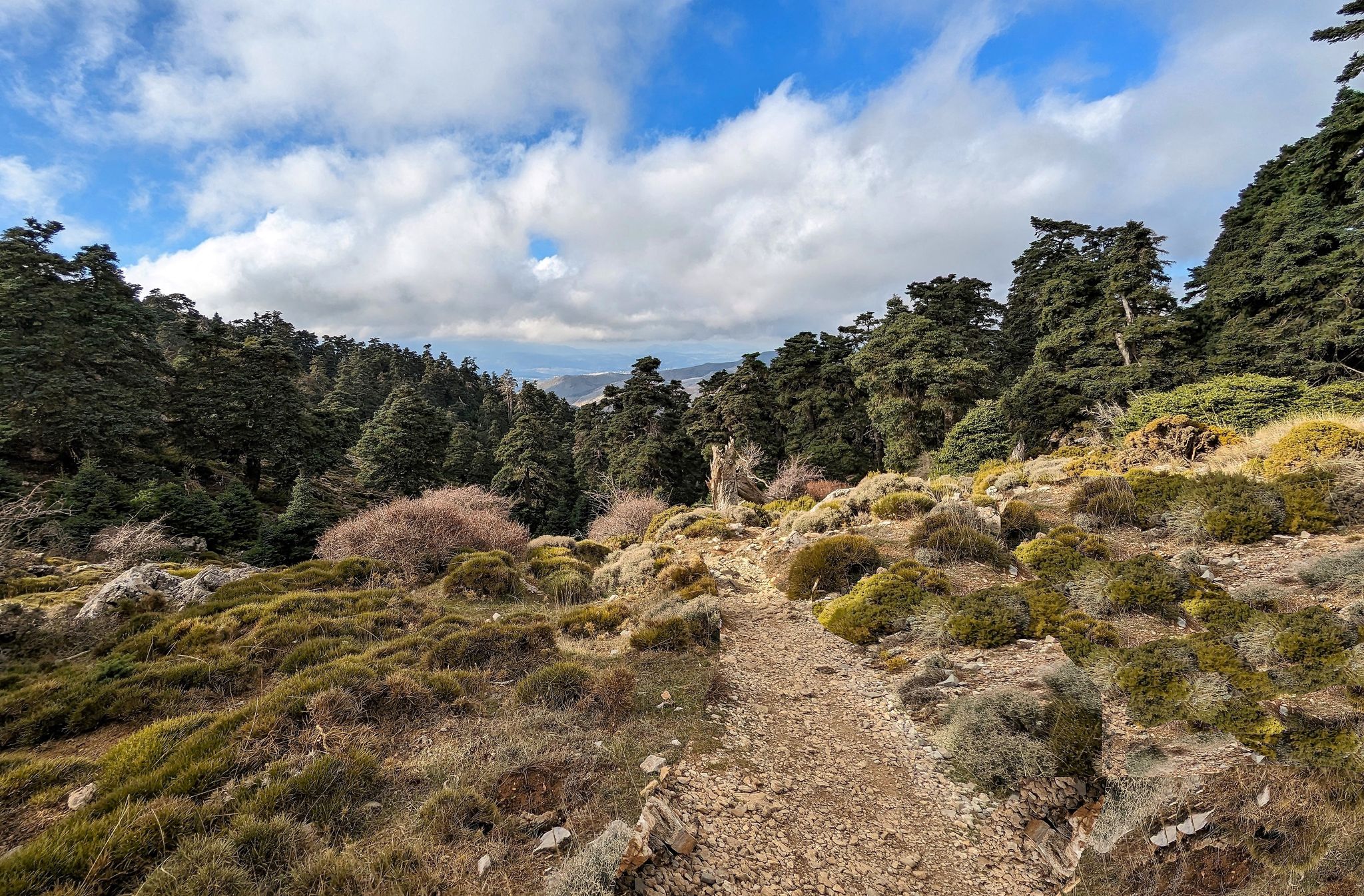
Magic in its purest form – hiking in Spain’s Sierra de las Nieves
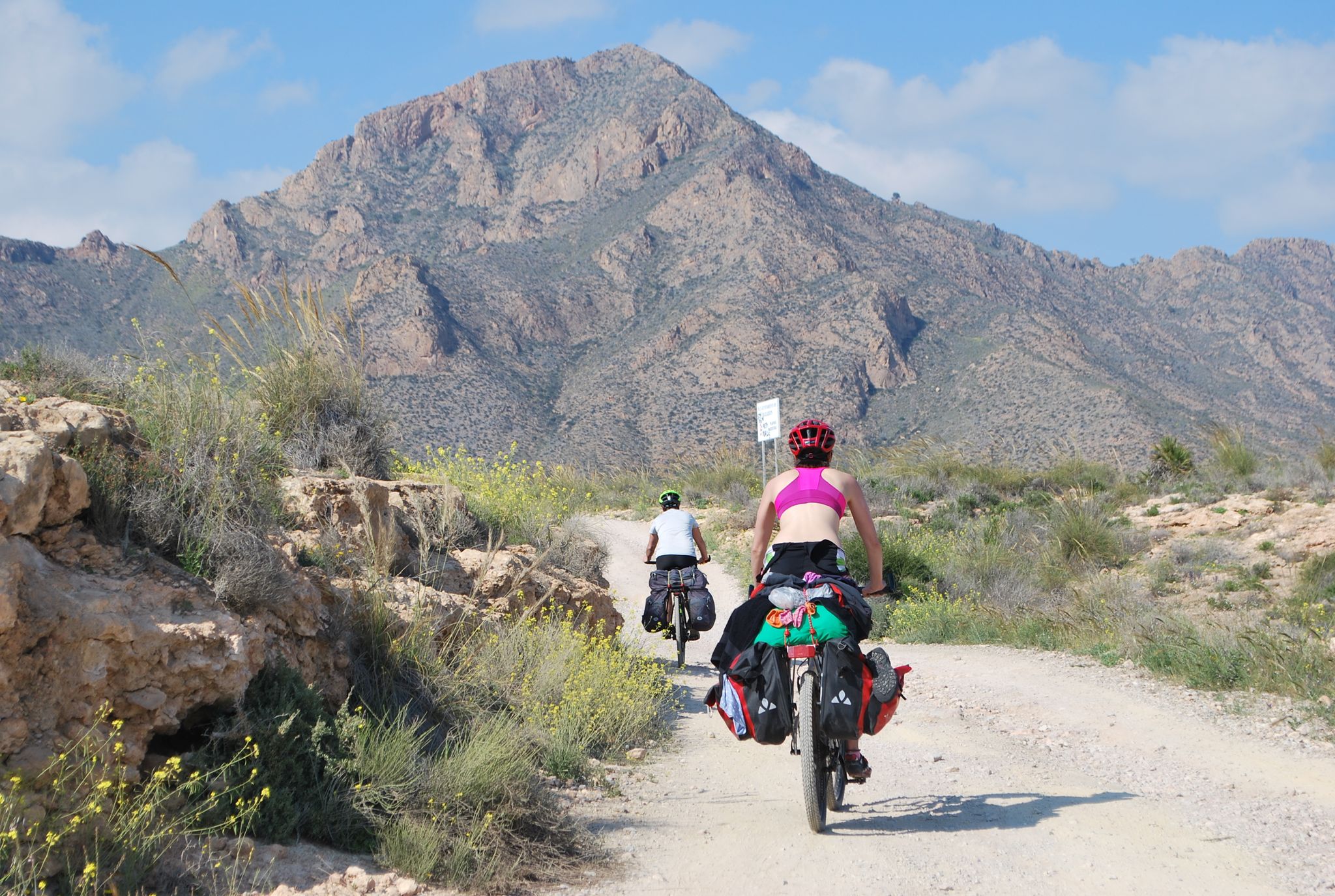
Mediterranean coastal paradise – EuroVelo 8 in Spain

Hike between sea and mountains — Gran Senda de Málaga (GR 249)
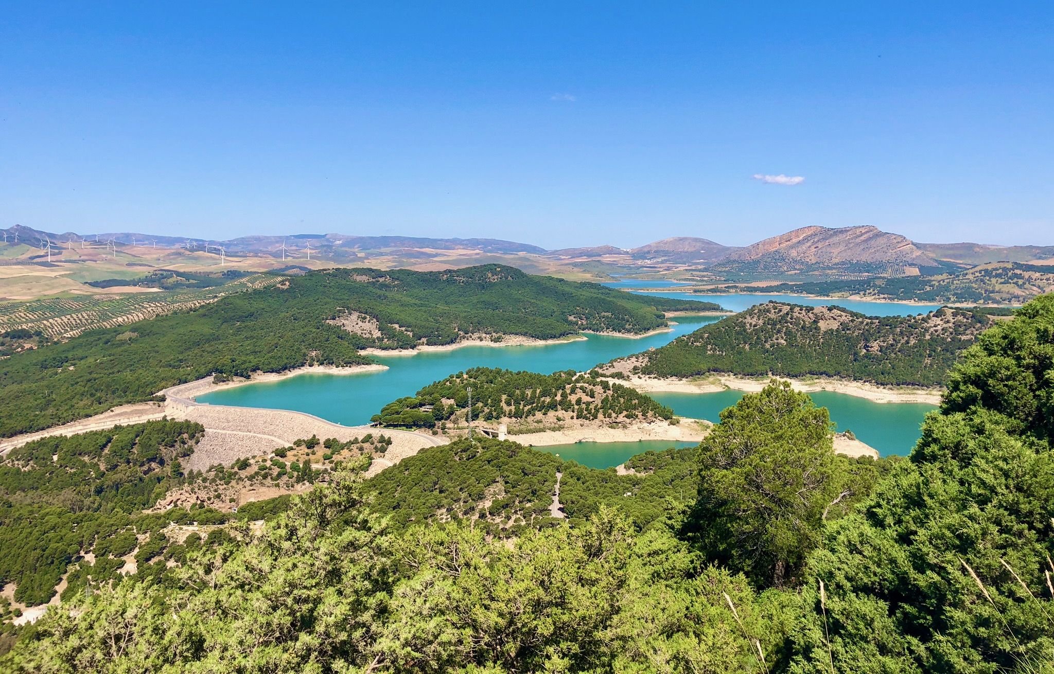
Seven days walking along the Gran Senda de Málaga (GR 249)

Triathlon 360 – my journey around the world
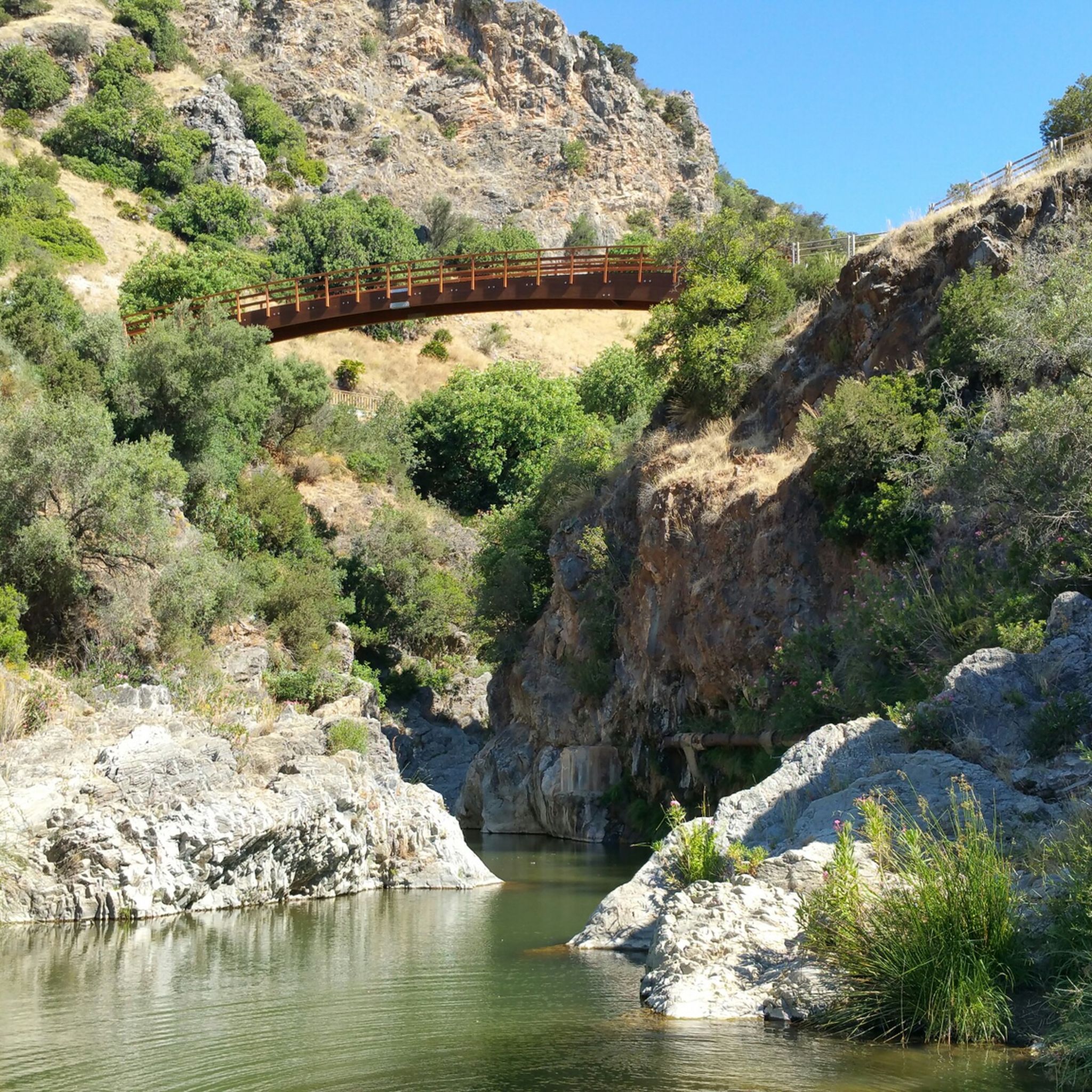
Hiking around Centro-Sur O Guadalorce
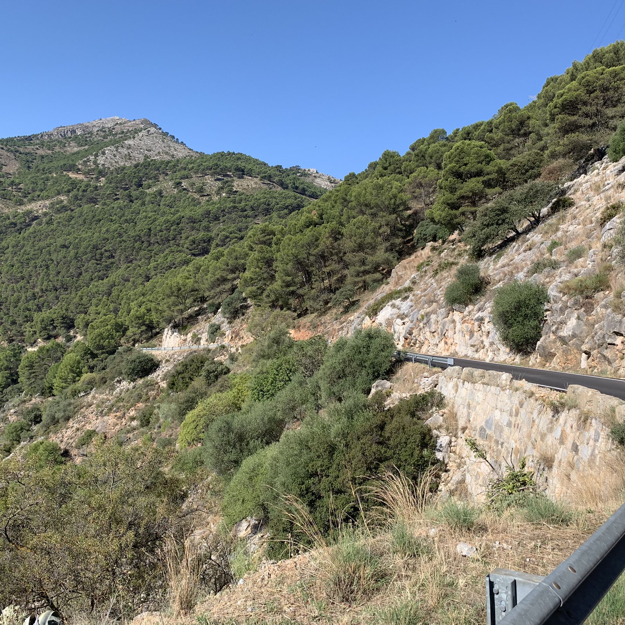
Road Cycling Routes around Centro-Sur O Guadalorce
Other adventures around Centro-Sur O Guadalorce


Tips from the Community

The pinsapo forest of Sierra Bermeja is very special, as it is the only one that grows on peridotite (non-calcareous) rocks. This species is a survivor of the Tertiary era and escaped the ice ages by taking refuge on these peaks. It only exists in a handful of mountain ranges in Málaga and Cádiz.
1
0

El Kiosko is one of the few restaurants at the beginning of the Caminito del Rey. However, it's always very busy, as buses bring new visitors every 15 minutes. They offer tapas and simple traditional dishes from Malaga with a sea view.
3
0
Well-lit tunnel as a shortcut to the start of the Caminito del Rey. A bit low for people 1.90m and taller, otherwise another highlight around the Caminito del Rey. The tunnel is approx. 500m long and you can see the end of the tunnel right from the beginning.
4
0

It's very windy up there. Take something warm with you. The view is breathtaking. With good visibility, you can see as far as Gibraltar and the Atlas Mountains.
0
0

At the site of a fissure in the earth, over 256 steps of varying shapes and sizes were hewn into the rock face or constructed from local material. This allows one to traverse the Castillones mountains through the middle. The Arabian Staircase thus provides a convenient shortcut to the Cortijo de Can Pedrero estate. Without it, one would have to make a long detour around the limestone massifs.
1
0

Arabian Stairs: The name is misleading. The stairs are not historical, but probably no more than 100 years old, and serve to avoid a massive detour over the later saddle. They were presumably built to facilitate other projects in the region behind the mountain. A local guide reported that the pine forests at the beginning of the tour used to be villages. You can see ruins and threshing floors. During the Franco dictatorship, the villages were destroyed, the inhabitants relocated, and the pines were planted to prevent their return (formerly grain fields): subsistence farmers were difficult to control, and workers were needed for industry.
2
0

It is the beginning of the gorge
0
0
It's amazing what has been created here
0
1
Frequently Asked Questions
How many mountaineering routes are available in Centro-Sur O Guadalhorce?
There are 9 mountaineering routes available in Centro-Sur O Guadalhorce, ranging from moderate to difficult. This includes 5 moderate and 4 difficult routes, offering a variety of challenges for different skill levels.
What is the best time of year for mountaineering in Centro-Sur O Guadalhorce?
The favorable climate in Centro-Sur O Guadalhorce allows for outdoor activities, including mountaineering, virtually year-round. However, spring and autumn generally offer the most pleasant temperatures for longer and more challenging routes.
What makes mountaineering in Centro-Sur O Guadalhorce unique?
Mountaineering in Centro-Sur O Guadalhorce is defined by its dramatic mountain ranges, diverse natural parks, and unique geological features. The region features technical limestone formations, deep gorges, and areas like El Chorro, known for impressive rock faces and challenging climbs. You'll find a mix of high peaks and extensive forest trails, providing varied experiences.
Are there routes suitable for beginners or those looking for an easier mountaineering experience?
Yes, there are several moderate routes available. For example, the Mountaineering loop from Tolox is a moderate 5.8-mile (9.4 km) path through the Sierra de las Nieves Natural Park. Another option is the Caminito del Rey – Lookout Caminito del Rey loop from Río Turón, which is also rated moderate.
What kind of challenges can I expect on difficult mountaineering routes in this region?
Difficult routes in Centro-Sur O Guadalhorce often involve significant elevation gain and technical terrain. For instance, the Pico Huma – Arab Staircase loop from El Chorro-Caminito del Rey is a challenging 8.4-mile (13.6 km) route with nearly 1,000 meters of ascent, offering panoramic views. Other difficult routes, like the La Concha Summit Viewpoint loop from Istán, also feature substantial elevation and mountainous terrain.
Are there any circular mountaineering routes in Centro-Sur O Guadalhorce?
Yes, many of the mountaineering routes in the region are designed as loops. Examples include the popular Pico Huma – Arab Staircase loop from El Chorro-Caminito del Rey, the Mountaineering loop from Tolox, and the La Concha Summit Viewpoint loop from Istán, all offering a return to your starting point.
What interesting natural attractions can I see along the mountaineering routes?
The region is rich in natural beauty. You can encounter stunning mountain peaks like La Concha Peak or Torrecilla Peak. Additionally, there are beautiful waterfalls such as Upper Puente Palo Waterfall and Charco del Canalón Waterfall, which can be found near some of the trails.
Can I bring my dog on mountaineering routes in Centro-Sur O Guadalhorce?
While many trails in natural areas allow dogs, specific regulations can vary, especially within protected parks like the Desfiladero de los Gaitanes Natural Park or Sierra de las Nieves Natural Park. It's always best to check local signage or park authority websites for the most current rules regarding dogs, particularly leash requirements and restricted areas, before heading out.
Are there any family-friendly mountaineering options in the region?
For families, it's advisable to look for routes rated as moderate and with shorter distances. While specific 'family-friendly mountaineering' routes are not explicitly listed, some of the moderate trails, especially those with less extreme elevation changes, could be suitable for older children or families accustomed to hiking. Always assess the route's difficulty and your family's fitness level before embarking.
What do other mountaineers enjoy the most about mountaineering in Centro-Sur O Guadalhorce?
The area is highly rated by the komoot community, with an average score of 4.9 stars from 8 reviews. Reviewers often praise the dramatic mountain ranges, the diverse natural parks, and the unique geological features that make each route a distinct adventure. The challenging yet rewarding ascents and panoramic views are frequently highlighted.
Are there any specific permits required for mountaineering in Centro-Sur O Guadalhorce?
Generally, permits are not required for standard mountaineering routes in the region. However, access to specific attractions like El Caminito del Rey requires a pre-booked ticket. For certain protected areas or specific climbing zones, it's always wise to check with the local park authorities, such as those for Sierra de las Nieves Natural Park, for any specific regulations or permit requirements that might apply.
Is public transport available to access mountaineering trailheads in the region?
Public transport options exist for some key areas. For instance, El Chorro, a popular starting point for routes like the Pico Huma – Arab Staircase loop, is accessible by train. For other trailheads, especially those deeper within natural parks, public transport might be limited, and a car may be necessary. It's recommended to research specific routes for detailed access information.
Where can I find parking near the mountaineering routes?
Parking is generally available near popular trailheads and villages that serve as starting points for mountaineering routes. For example, areas around El Chorro, which is a gateway to several routes including the Caminito del Rey loop, offer designated parking facilities. For less frequented routes, roadside parking might be an option, but always ensure you park legally and safely.
Most popular routes around Centro-Sur O Guadalorce
Most popular attractions around Centro-Sur O Guadalorce

Get inspired with the komoot mobile app


