The best cycling routes around Comarca de Los Montes
4.5
(50)
791
riders
16
rides
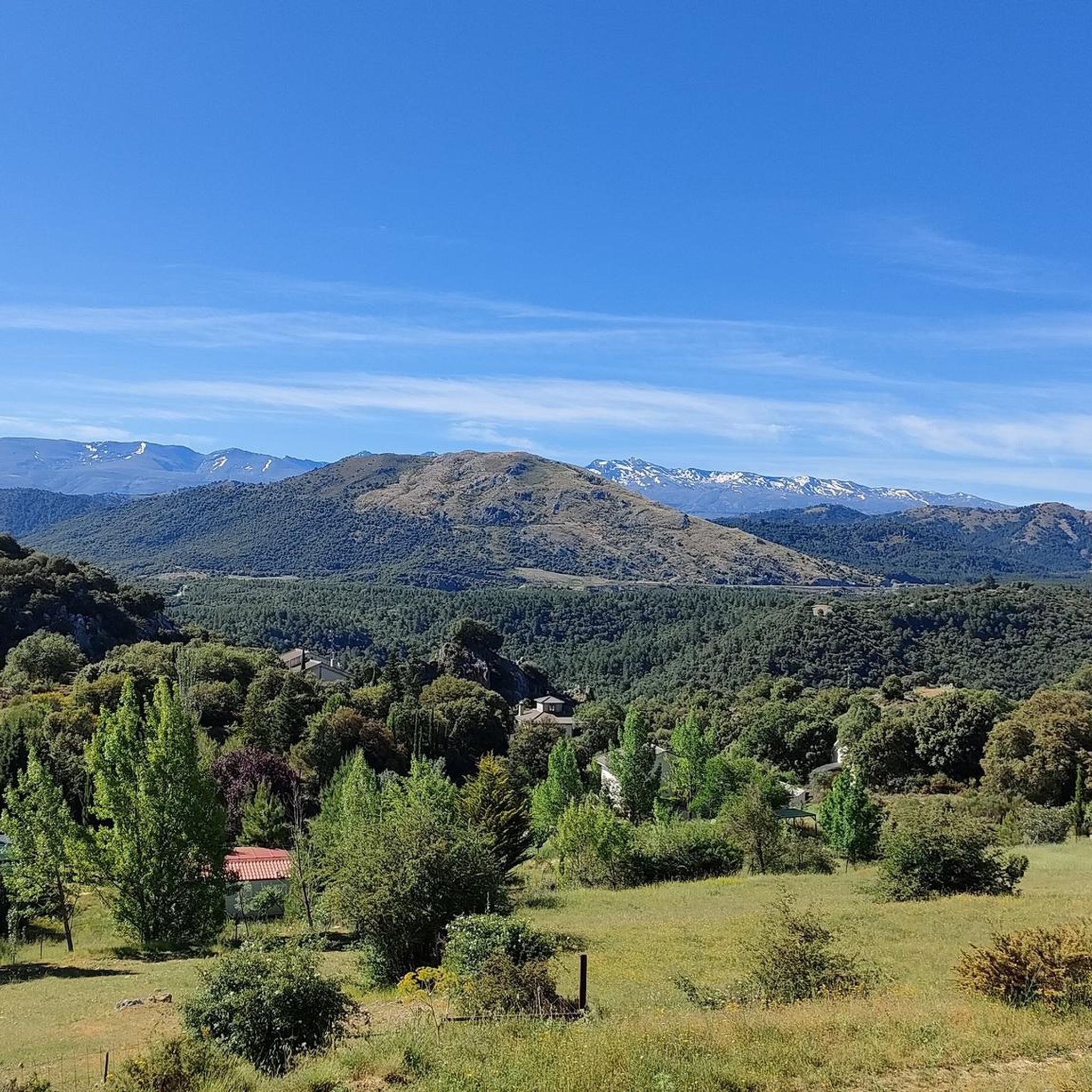
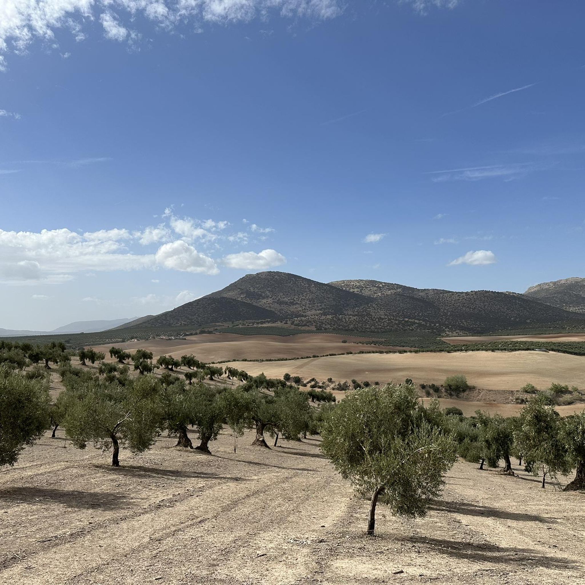
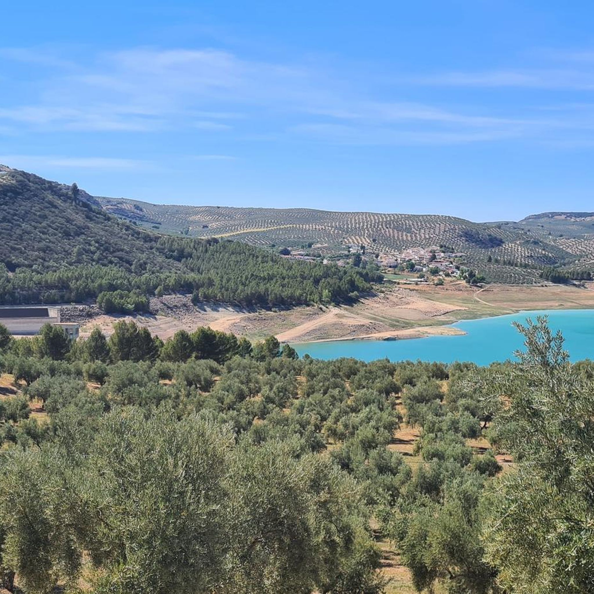
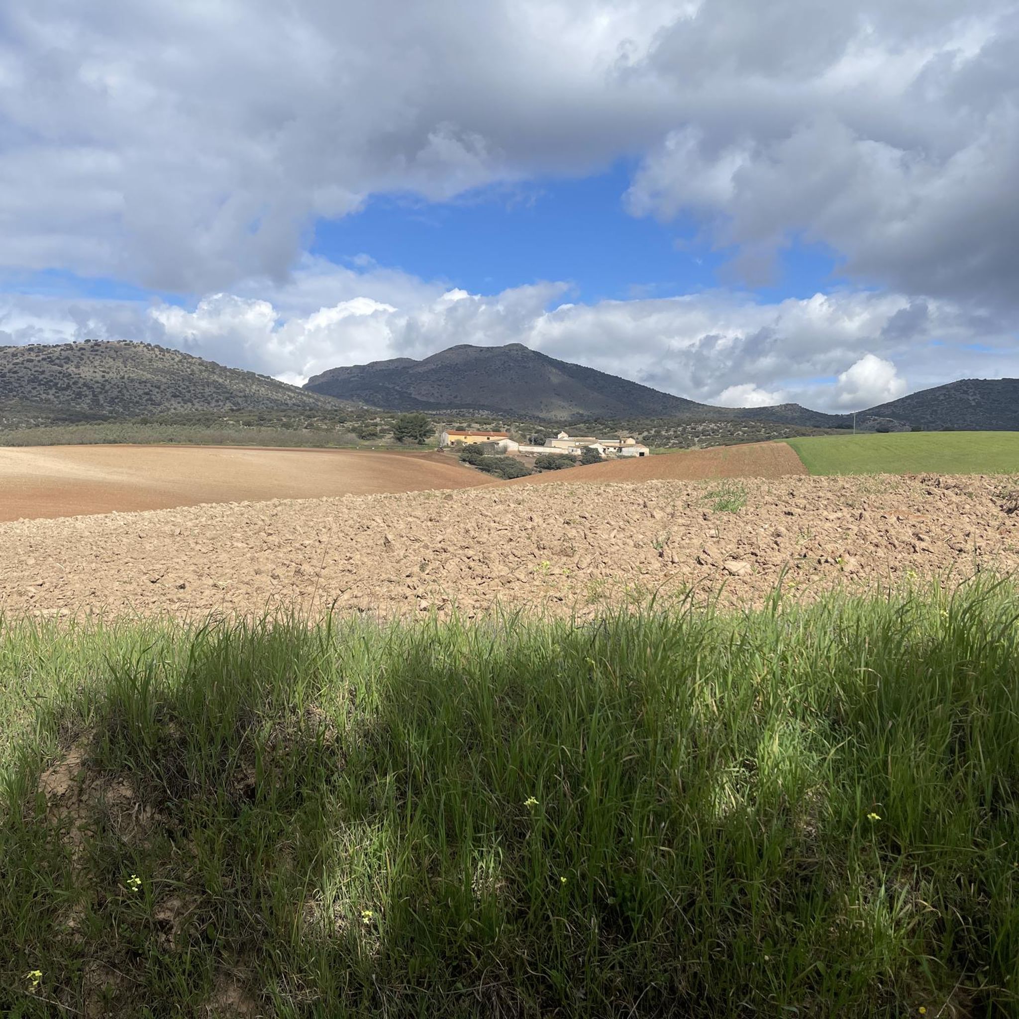
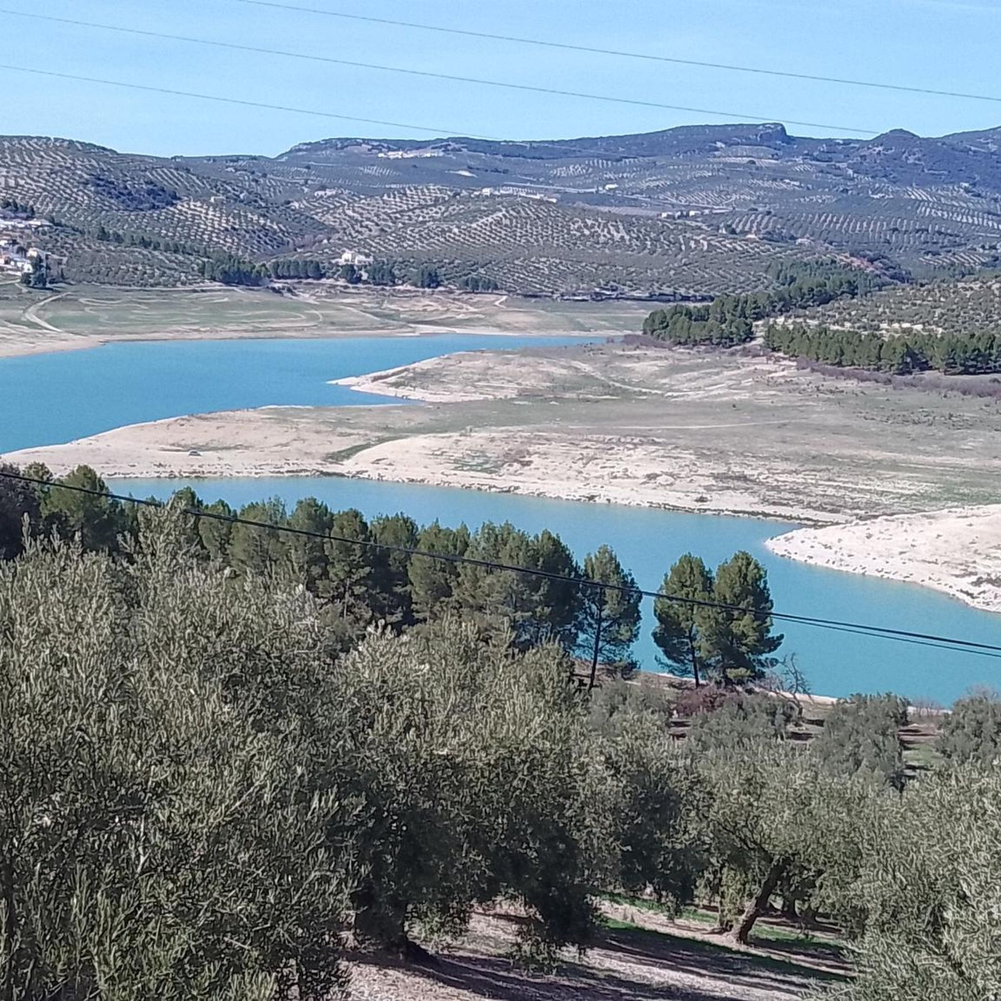
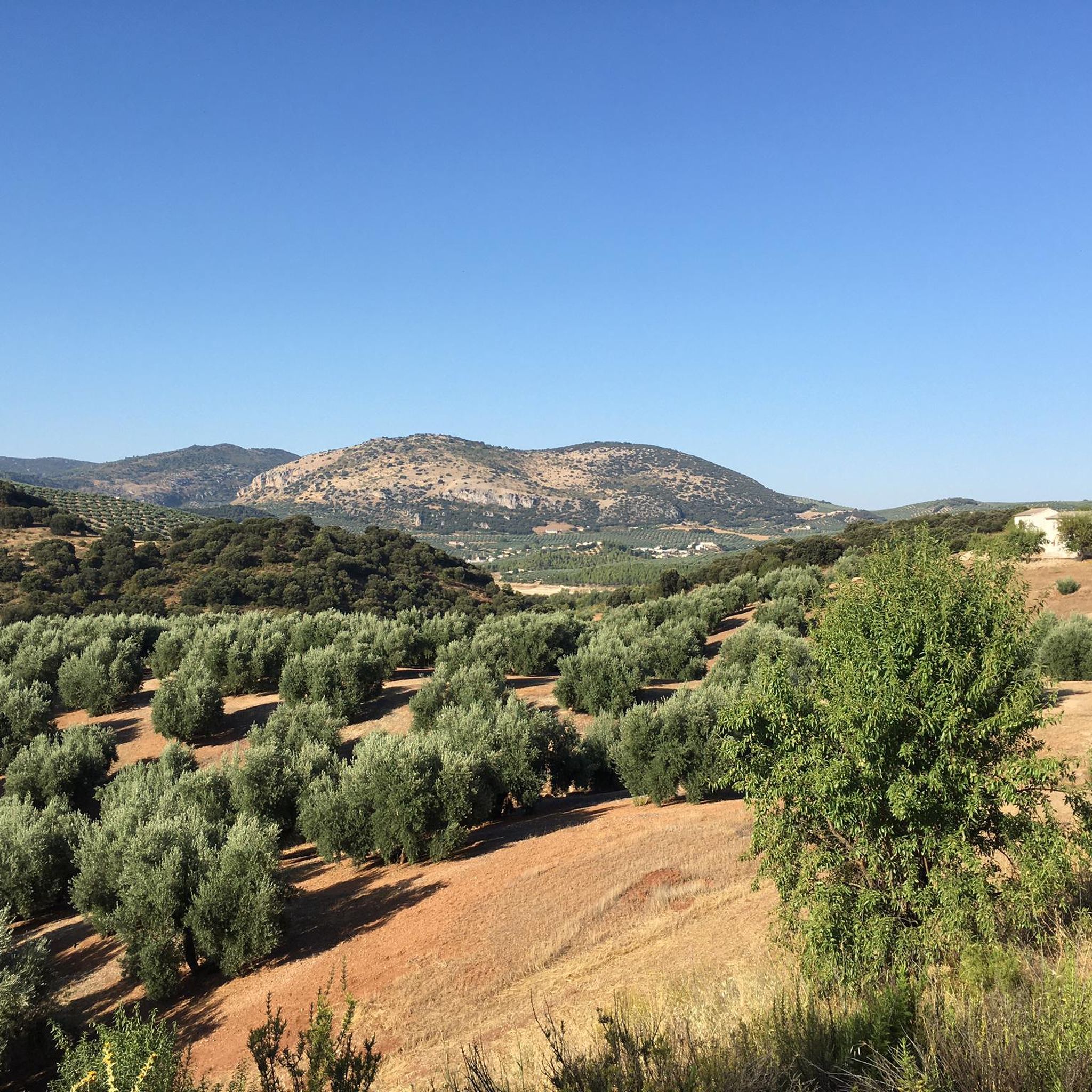
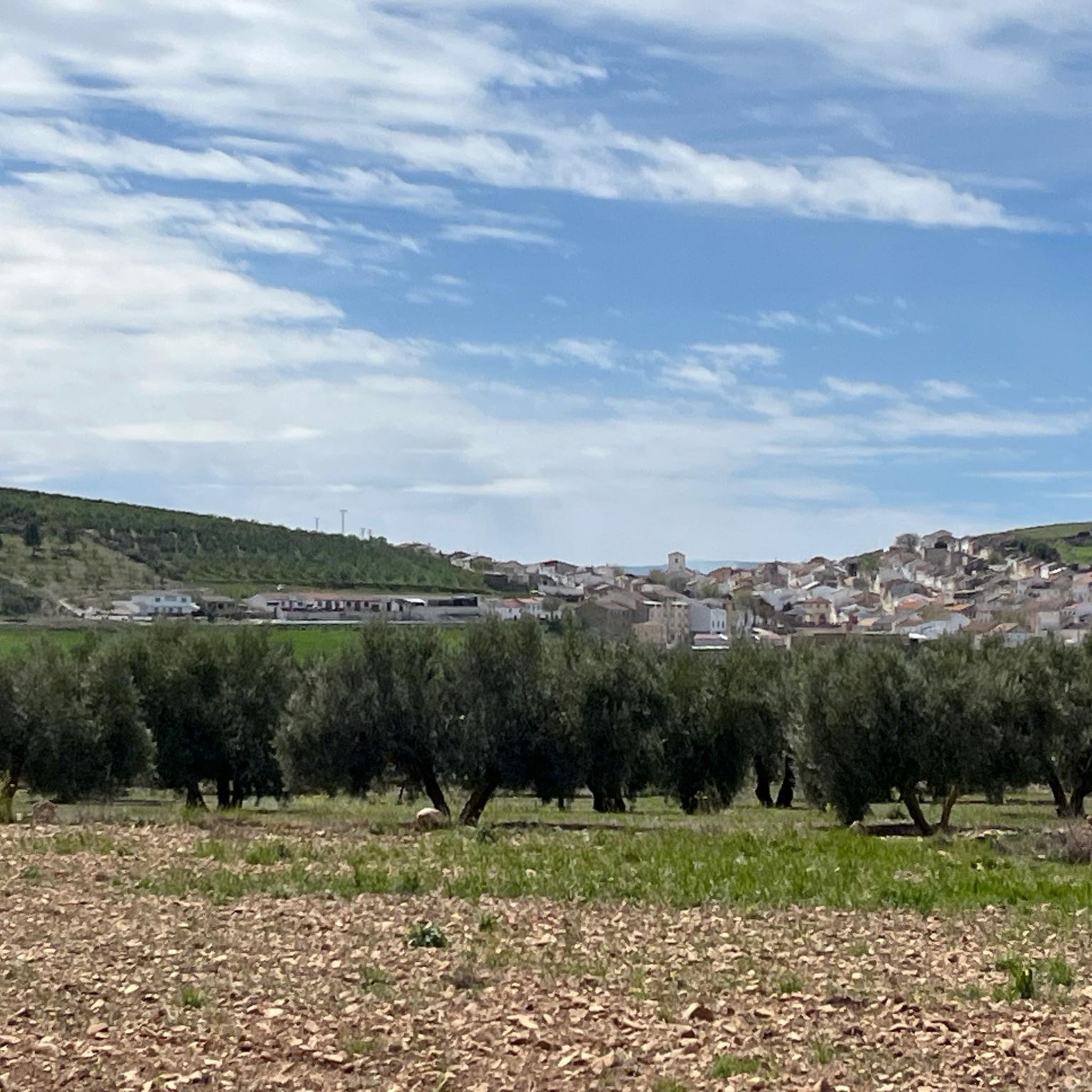
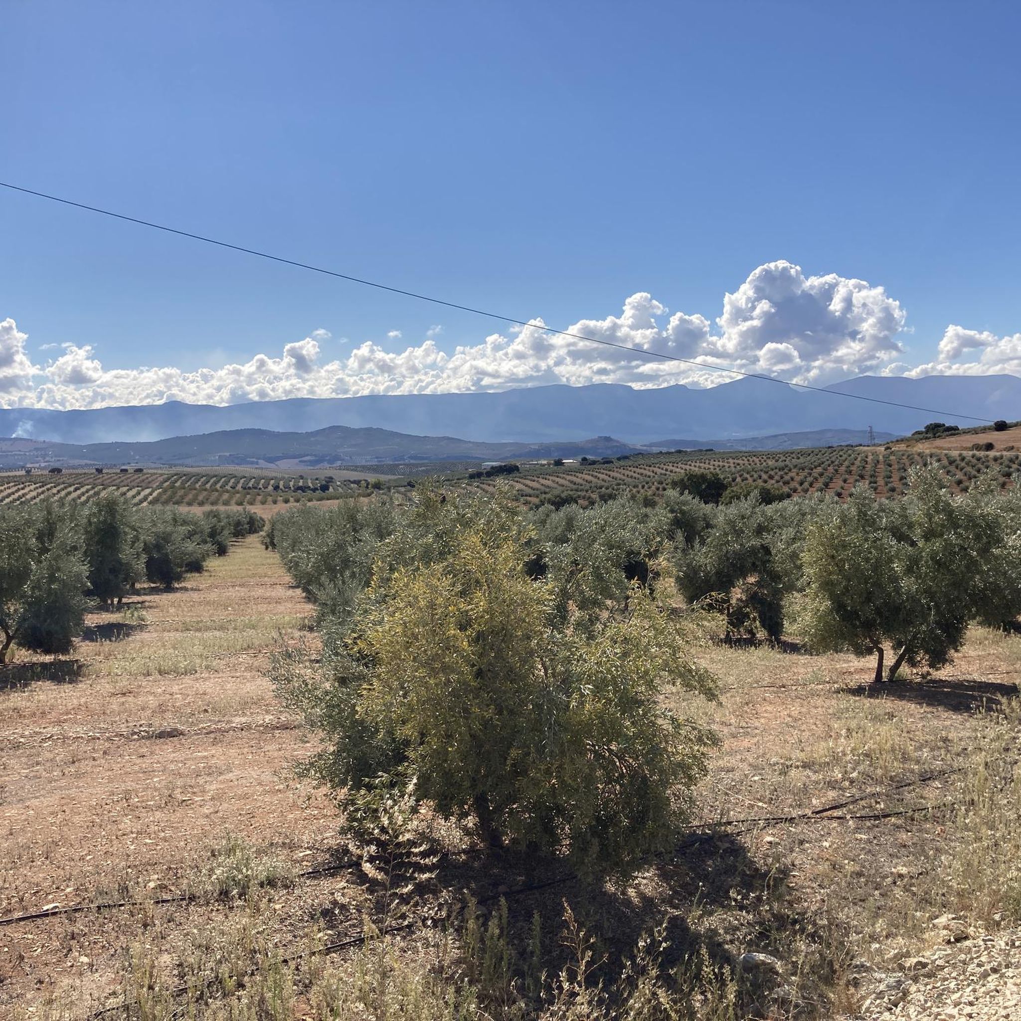
Touring cycling around Comarca de Los Montes offers diverse terrain across the northern part of Granada province. The region is characterized by rolling hills, expansive olive groves, and the significant Sierra Arana mountain range, which provides varied elevations. Cyclists can navigate routes that traverse traditional agricultural areas and dome-shaped hills with natural vegetation. Picturesque bodies of water, such as the Colomera Reservoir and Cubillas Reservoir, also feature in the landscape, offering scenic cycling loops.
Best touring cycling routes around Comarca…
Last updated: July 13, 2026
33.7km
02:33
800m
800m
Hard bike ride. Very good fitness required. Mostly paved surfaces. Suitable for all skill levels.
4.3
(4)
63
riders
60.1km
03:38
450m
450m
Hard bike ride. Very good fitness required. Mostly paved surfaces. Suitable for all skill levels.

Sign up for free
5.0
(1)
15
riders
145km
09:34
1,990m
1,990m
Hard bike ride. Very good fitness required. Mostly paved surfaces. Suitable for all skill levels.
5.0
(1)
26
riders
56.4km
05:19
1,460m
1,460m
Hard bike ride. Very good fitness required. Mostly paved surfaces. Suitable for all skill levels.
7
riders
38.1km
03:34
680m
680m
Hard bike ride. Very good fitness required. Mostly paved surfaces. Suitable for all skill levels.
5.0
(1)
6
riders
52.0km
04:15
1,200m
1,200m
Hard bike ride. Very good fitness required. Mostly paved surfaces. Suitable for all skill levels.
3
riders
22.1km
01:24
260m
260m
Moderate bike ride. Good fitness required. Mostly paved surfaces. Suitable for all skill levels.
5
riders
110km
08:55
1,650m
1,650m
Hard bike ride. Very good fitness required. Mostly paved surfaces. Suitable for all skill levels.
3
riders
32.2km
02:33
600m
610m
Hard bike ride. Very good fitness required. Mostly paved surfaces. Suitable for all skill levels.
Get access to more routes and recommendations from other explorers.
Sign up for free
Already have an account?
Our route recommendations are based on thousands of hikes, rides, and runs completed by other people on komoot.
Start today with a free account
Your next adventure awaits.
Login or Signup
Popular around Comarca de Los Montes
Tips from the Community

Unparalleled beauty to recharge your batteries and your senses
0
0


Beautiful striking landscape. Towards Dehesas de Guadix it starts to climb. After all we leave the valley of the Rio Fardes and drive to the valley of the rio Guadahortuna.
6
0
Beautiful resting place along the river, accessible via stairs.
7
0
The Carretera Aguas Blancas in Quéntar, Granada, is a beautiful route that takes you through the natural beauty of the region. It is a popular route for walkers, cyclists and those who enjoy the peaceful atmosphere and beautiful landscapes. The road runs along the Aguas Blancas River and offers impressive views of the Sierra Nevada.
7
0
The Pantano de Quéntar is a reservoir in Quéntar, Granada, built between 1971 and 1975 and officially inaugurated on 11 May 1976. It is located at the confluence of the Aguas Blancas and Padules rivers and has a capacity of 14 million cubic metres. The reservoir plays an important role in the water supply of the city of Granada and the irrigation of the surrounding agricultural lands.
9
0
This place is located on Calle Carrera del Darro, one of the most beautiful walking passages in Granada. This street is located on the left bank of the Darro River. Unfortunately, you are not allowed to cycle here, as a police officer warned us. Here you can see the majestic Alhambra on the slope of the Sabika, surrounded by vegetation.
8
0
The Puerta de Elvira, also known as the Arco de Elvira, is a historic city gate in Granada. This gate was the main entrance to the city during Islamic rule, giving access from the road to Madīnat Ilbira (Medina Elvira) to the Cuesta de Alhacaba and Calle de Elvira. The gate was originally built in the 11th century by the Zirí sultans and later fortified in the 14th century during the Nasrid period. It is a fine example of Islamic architecture, with a horseshoe-shaped arch and flanking towers.
8
1
Frequently Asked Questions
How many touring cycling routes are available in Comarca de Los Montes?
There are over 60 touring cycling routes mapped in Comarca de Los Montes, offering a wide range of options for exploring the region's diverse landscapes.
What are the typical difficulty levels for touring cycling in this region?
The touring cycling routes in Comarca de Los Montes are predominantly challenging, with 54 routes rated as difficult. There are also 15 moderate routes available for those seeking a less strenuous ride. Expect undulating terrain with significant climbs and descents, particularly in areas around Sierra Arana.
What kind of natural features can I expect to see along the cycling routes?
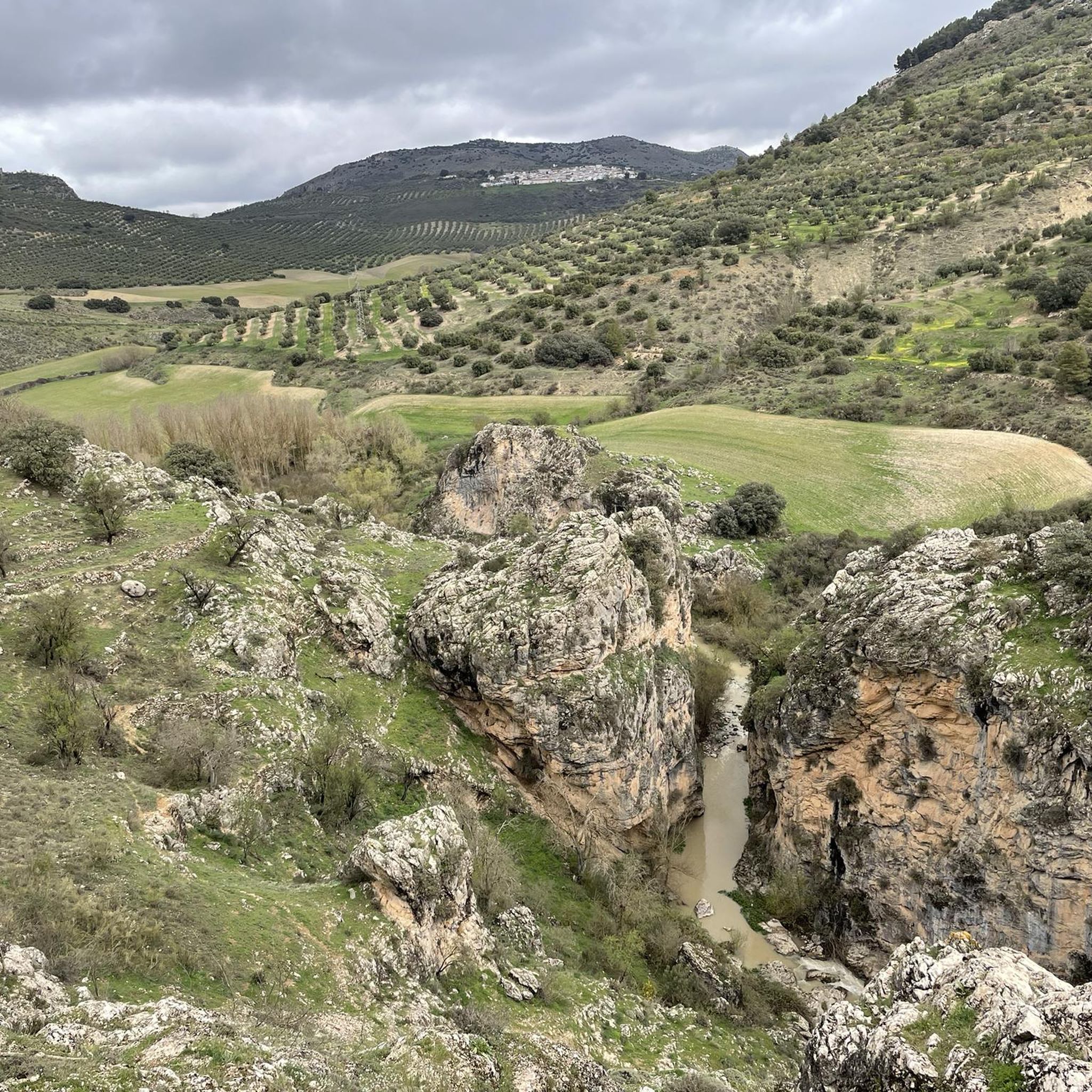
Comarca de Los Montes offers a rich variety of natural features. You'll cycle through expansive olive groves and rolling hills, with views of the Sierra Arana mountain range. Many routes feature picturesque bodies of water like the Colomera Reservoir and Cubillas Reservoir. You might also encounter dramatic gorges, such as the Tajos de la Hoz near Moclín, and even vibrant sunflower fields in July and August near Domingo Pérez.
Are there any historical or cultural landmarks to explore while cycling?
Yes, the region is rich in history. You can find Roman remains in Colomera and Arabic remains in various villages. Castle ruins are present in Montejícar, Colomera, Piñar, and Moclín. Notable attractions include the Roman Dam of Barcinas and the charming settlement of Iznalloz. The Puente del Hacho is another interesting point of interest.
Which routes offer scenic views of the reservoirs?
Several routes provide beautiful views of the region's reservoirs. The Embalse de Colomera — circular by Tózar and Benalúa de las Villas route circles the scenic Colomera Reservoir. Another option is the Cortijo Lapuente Ruins – Cubillas Reservoir loop from Iznalloz, which features varied terrain around the Cubillas Reservoir.
What do other touring cyclists say about the routes in Comarca de Los Montes?
The routes in Comarca de Los Montes are highly rated by the komoot community, with an average score of 4.5 stars from over 38 reviews. Cyclists often praise the diverse terrain, the scenic olive groves, and the challenging yet rewarding climbs that offer panoramic views of the region.
Are there any long-distance touring options available?
For a longer ride, consider the Quéntar Reservoir – Genil Riverbank (Granada) loop from Moreda. This extensive 144.4 km (89.7 miles) trail leads through diverse landscapes, including the Quéntar Reservoir and along the Genil Riverbank, typically taking around 9 hours 36 minutes to complete.
What is the best time of year for touring cycling in Comarca de Los Montes?
While specific seasonal recommendations are not detailed, the region's Mediterranean climate generally makes spring and autumn ideal for cycling, offering milder temperatures. Summer can be very hot, especially in July and August when sunflower fields are in bloom, which might be appealing for scenery but challenging for cycling due to heat.
Are there any routes that pass through the Sierra de Huétor Natural Park?
Yes, the Sierra de Huétor – Path to Cortijo de Califaquín loop from Iznalloz is a challenging route that takes you into the Sierra de Huétor area, offering significant elevation changes and beautiful mountain scenery.
Can I find any moderate, shorter loops for a quicker ride?
For a moderate and shorter option, the Bike loop from Guadahortuna is a good choice. It's about 22 km (13.7 miles) long and can be completed in under 1.5 hours, offering a pleasant ride with less elevation gain.
Are there any routes that explore the more arid landscapes of the region?
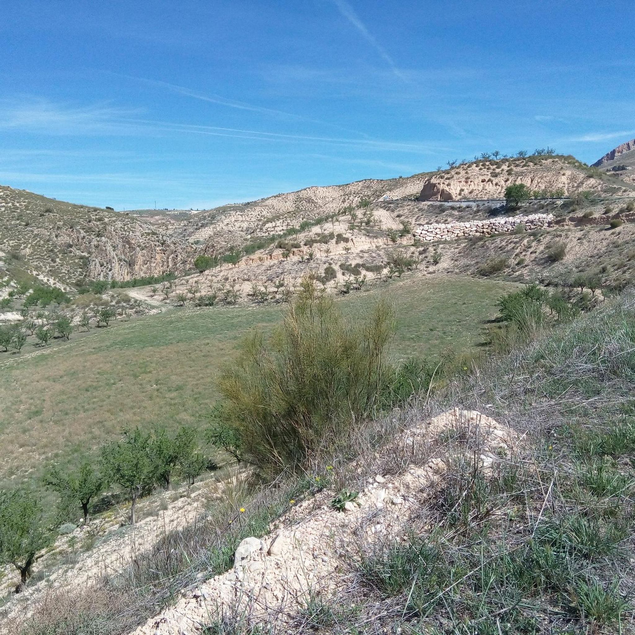
If you're interested in more arid landscapes, the Gorafe Desert – Puntal de Don Diego Viewpoint loop from Pedro Martínez offers a challenging ride through the unique terrain of the Gorafe Desert, including a viewpoint.
What kind of road surfaces can I expect for touring cycling?
While specific road quality within Comarca de Los Montes isn't extensively detailed, the broader Granada province is known for quiet country and mountain roads with excellent asphalt surfaces in some areas. You can generally expect well-maintained roads suitable for touring bikes, traversing olive and almond groves.
Most popular routes around Comarca de Los Montes
Most popular attractions around Comarca de Los Montes

Get inspired with the komoot mobile app


Didn’t find what you were looking for?
Check out more Cycling routes throughout Comarca de Los Montes below and find the perfect route in your destination.
Explore more
Browse the best Cycling routes in other regions.
