The best cycling routes around Comarca de Baza
3.8
(52)
504
riders
73
rides
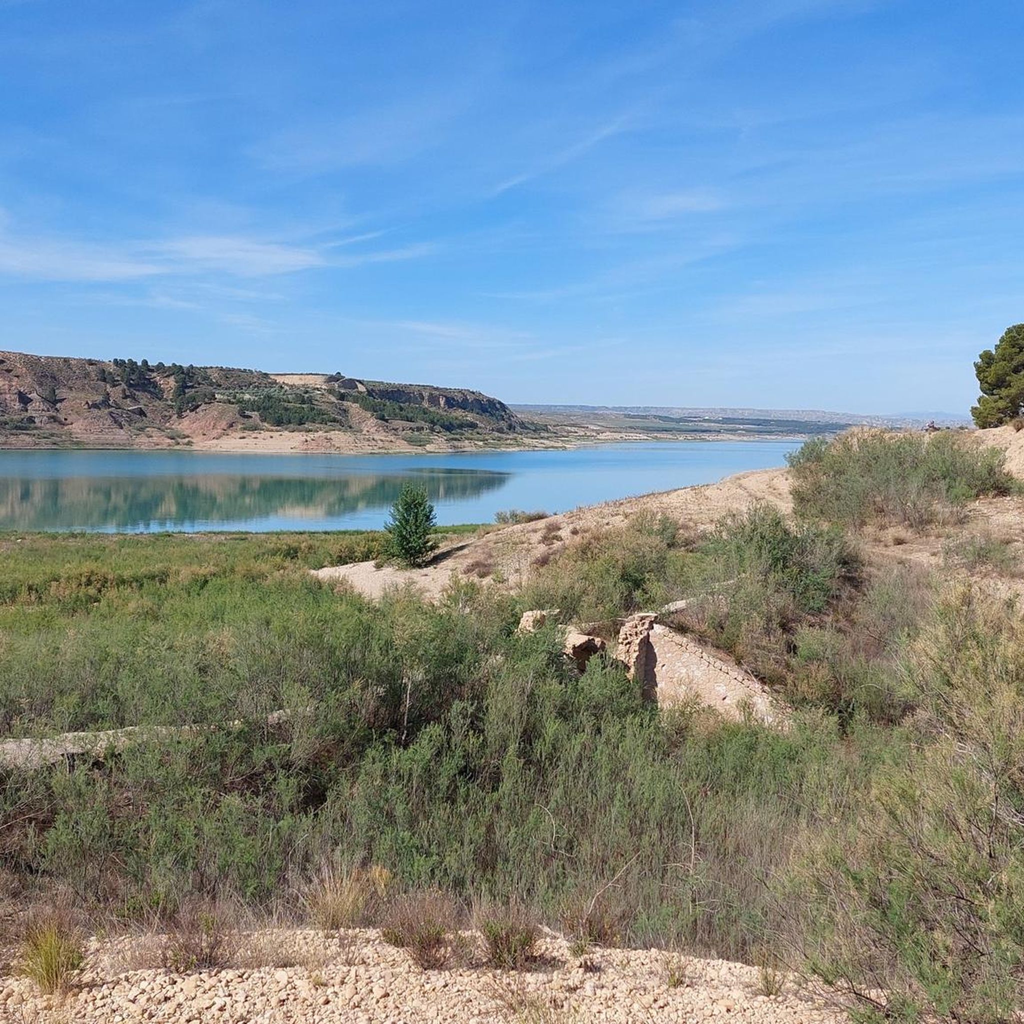
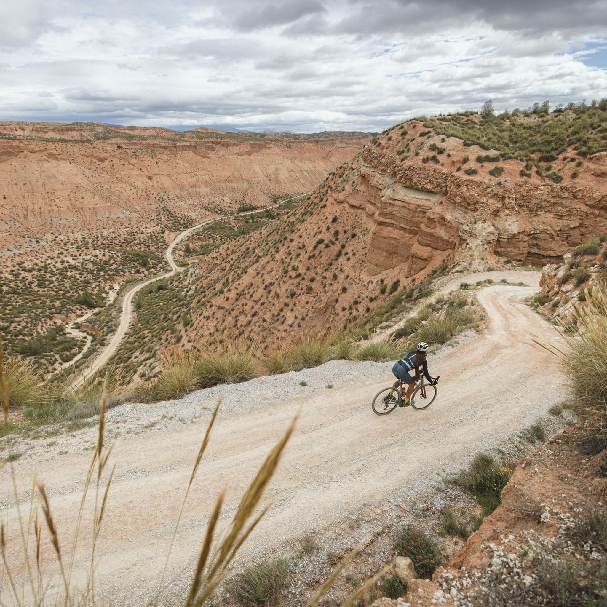
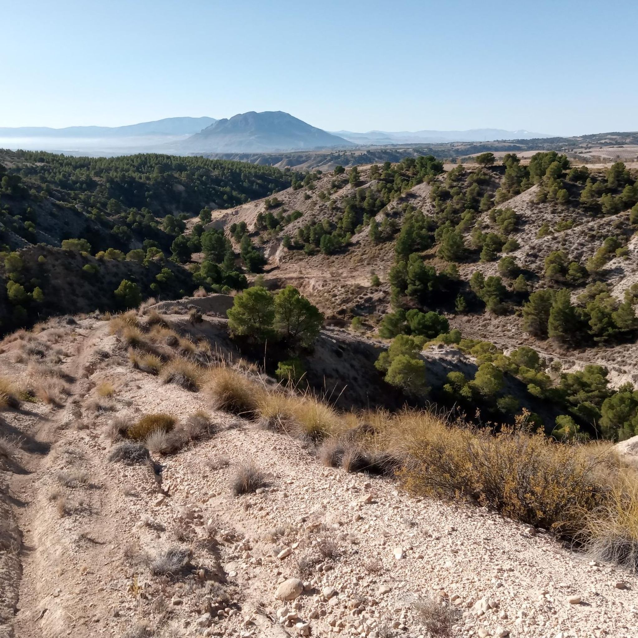
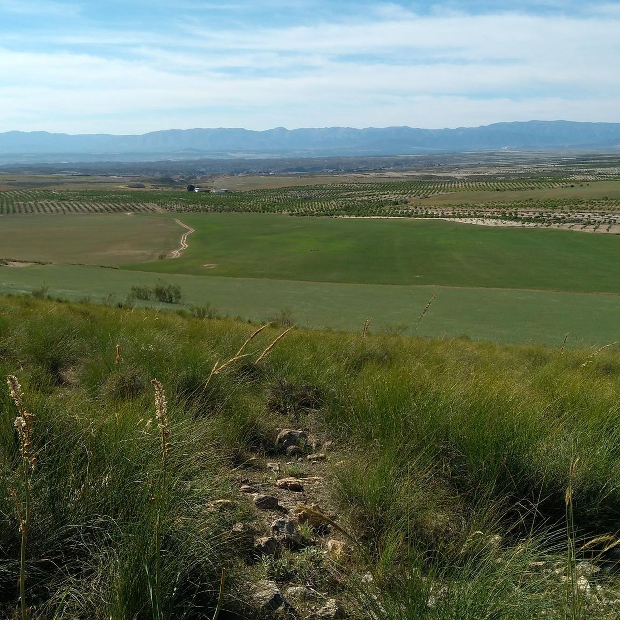
Touring cycling around Comarca de Baza offers diverse landscapes, from the pine-clad slopes and high mountain meadows of the Sierra de Baza Natural Park to the dry steppes and deep canyons. The region features prominent water bodies like the Negratín Reservoir, alongside jagged limestone peaks and "calar" formations. Routes often traverse a mix of paved surfaces and unpaved segments, providing varied terrain for cyclists. This area is characterized by its significant natural features and varied elevation profiles.
Best touring cycling…
Last updated: June 23, 2026
3.0
(5)
11
riders
30.4km
02:30
380m
380m
Cycle the Vía Verde del Valle del Almanzora, a 18.9-mile moderate touring route from Baza through diverse landscapes and old railway feature
19.1km
01:38
450m
450m
Hard bike ride. Very good fitness required. Mostly paved surfaces. Suitable for all skill levels.

Sign up for free
3.0
(1)
19
riders
30.6km
02:05
490m
490m
Hard bike ride. Very good fitness required. Mostly paved surfaces. Suitable for all skill levels.
3.0
(1)
17
riders
42.6km
03:38
710m
710m
Hard bike ride. Very good fitness required. Mostly paved surfaces. Suitable for all skill levels.
19
riders
37.9km
03:33
1,070m
1,070m
Hard bike ride. Very good fitness required. Mostly paved surfaces. Suitable for all skill levels.
5.0
(1)
15
riders
57.1km
05:08
1,130m
1,130m
Hard bike ride. Very good fitness required. Mostly paved surfaces. Suitable for all skill levels.
15
riders
63.6km
06:36
1,600m
1,600m
Hard bike ride. Very good fitness required. Mostly paved surfaces. Suitable for all skill levels.
3.7
(3)
14
riders
47.1km
04:46
1,070m
1,060m
Hard bike ride. Very good fitness required. Mostly paved surfaces. Suitable for all skill levels.
4.3
(3)
15
riders
37.8km
03:20
770m
770m
Hard bike ride. Very good fitness required. Mostly paved surfaces. Suitable for all skill levels.
3.0
(1)
16
riders
24.3km
02:24
510m
510m
Hard bike ride. Very good fitness required. Mostly paved surfaces. Suitable for all skill levels.
Get access to more routes and recommendations from other explorers.
Sign up for free
Already have an account?
Our route recommendations are based on thousands of hikes, rides, and runs completed by other people on komoot.
Start today with a free account
Your next adventure awaits.
Login or Signup
Popular around Comarca de Baza

Other adventures around Comarca de Baza


Tips from the Community

Both uphill and downhill, it's advisable to stay on the gravel road, as it's difficult to navigate with loaded bikes. Suitable only for mountain bikes. It may be possible to use the adjacent singletrack trails (hillside singletrack, not suitable for trikes or bikes with trailers).
1
0
It's not possible to cross the bridge with a three-wheeled bike. You have to go through the riverbed underneath. The day we went, there were three large dogs running loose :-/
0
0

It is the most important monument in the city. It was built in the Nasrid period between the 13th and 15th centuries and consists of a tower, two sections of wall, a cistern and a parapet next to it.
8
0

Baza is a city whose municipal area is the largest in the province of Granada, whose population centers depend on it: Baúl (where the section of the greenway begins), La Jamula and Benacebada.
6
0

Very well-kept place with ample parking 🅿️
1
0

Everything is going well until the Vía Verde draws a large arc towards the south, enters the large channel of the Rambla de Baza and the Caniles iron bridge appears. The central planks have disappeared and you have to walk carefully along the sides. A sign at the entrance to the bridge recommends the parallel lane to avoid unnecessary risks. The tall chimney of the old Nuestra Señora de las Mercedes sugar factory announces the arrival at the Caniles station, which had an important weight in railway trade from its inauguration, in 1894, until the middle of the 20th century, when the decline of the road that connected Andalusia and the Levant. The buildings have been restored and converted into the Geodiversity Interpretation Center of the Granada Altiplano. In Baza you have to leave the route of the Greenway and visit the historical complex, passing by the Fuente de los Caños Dorados, the Plaza Mayor, the Barrio de San Juan, the alleys of the Jewish quarter, the Old Butcher Shops, the Arrabal de Marzuela , even entering the Arab Baths, and taking the opportunity to have some local delicacies and recover energy for the rest of the stage.
0
0
Capricious nature that, in hundreds of thousands of years, has eroded a natural element of unmatched beauty.
1
0

The Canaleja Alta Shelter is located in the recreational area of the same name, located at the head of the Canaleja ravine. This refuge is on the road that leads to the Prados del Rey and the Calares. The area is cool, with dense vegetation and numerous water currents. The recreational area has tables and barbecues under the trees, and the shelter itself is a two-story rectangular building. If you want to explore the surroundings, you will find the Neveros, Collado del Resinero and GR-7 trails near the refuge. Enjoy nature in Canaleja Alta! 🌲🏞️
1
0
Frequently Asked Questions
What kind of cycling difficulty can I expect in Comarca de Baza?
Comarca de Baza offers a wide range of touring cycling routes suitable for various fitness levels. You'll find options from easy, mostly paved loops to challenging rides with significant elevation gain. Out of 73 available routes, 5 are considered easy, 22 are moderate, and 46 are difficult, ensuring there's a route for every cyclist.
Are the touring cycling routes in Comarca de Baza mostly paved or unpaved?
The routes in Comarca de Baza feature a mix of surfaces. Many are on mostly paved roads, but it's common to encounter unpaved segments, especially when venturing into more natural areas like the Sierra de Baza Natural Park. This variety adds to the diverse terrain experience.
What natural features will I encounter on touring cycling routes in Comarca de Baza?
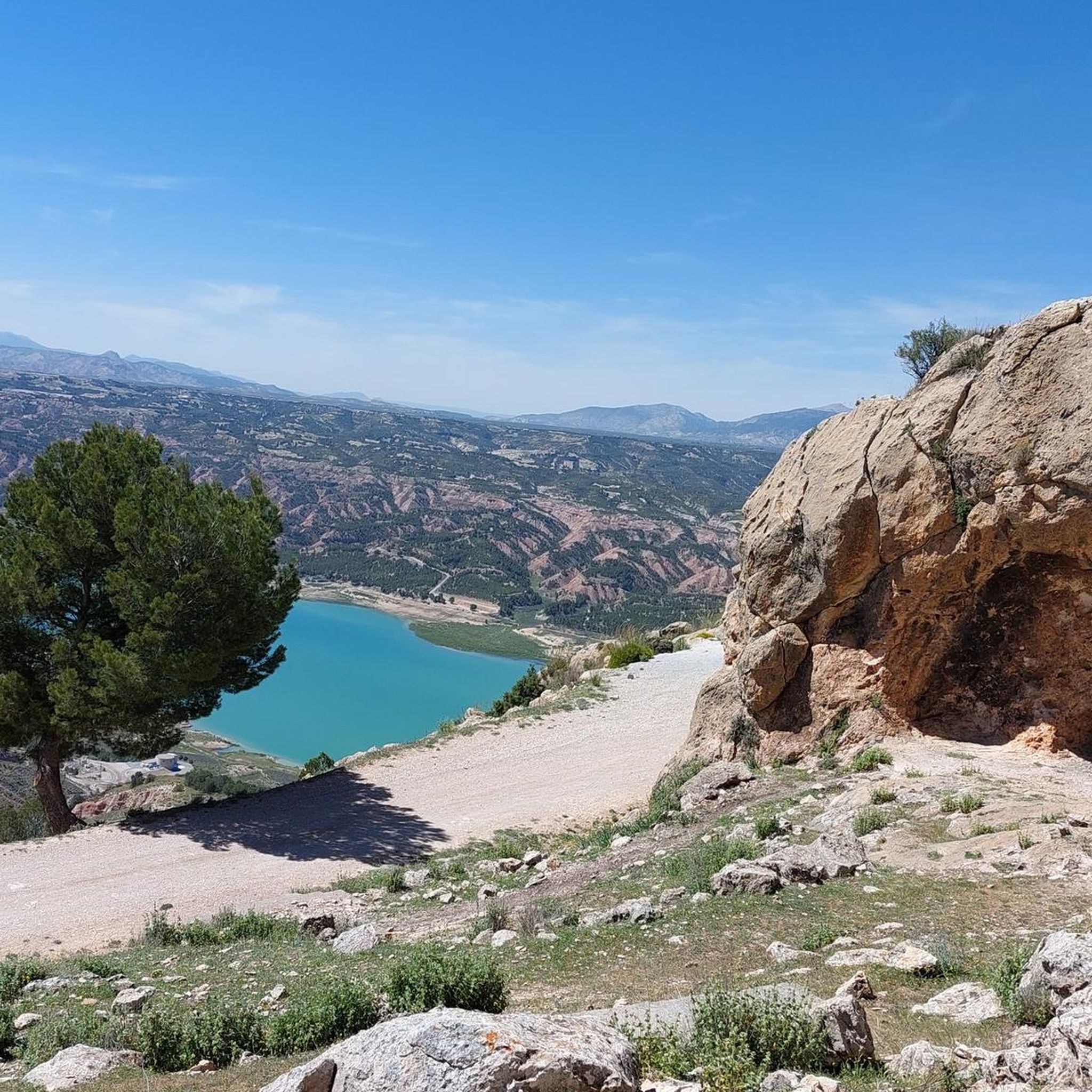
You'll experience diverse natural beauty, from the pine-clad slopes and high mountain meadows of the Sierra de Baza Natural Park to dry steppes and deep canyons. The prominent Negratín Reservoir is a central feature, offering scenic views, and you'll also see jagged limestone peaks and 'calar' formations.
Are there any notable landmarks or points of interest to see along the touring cycling routes?
Yes, Comarca de Baza is rich in landmarks and points of interest. You can explore historical sites like the Historic Center of Baza, or natural wonders such as the Fountain of Health. The region also features impressive viewpoints like the Guard Hut Viewpoint and the Sanctuary of the Virgin of the Head on Cerro Jabalcón.
Are there any circular touring cycling routes in Comarca de Baza?
Yes, many touring cycling routes in Comarca de Baza are designed as loops, allowing you to start and end in the same location. Popular examples include the Baza - Caniles Loop and the Negratín Reservoir – Baza loop from Baza, which offer varied distances and difficulties.
What is the best time of year to go touring cycling in Comarca de Baza?
The region is generally suitable for cycling for much of the year. Spring and autumn offer pleasant temperatures, ideal for longer rides. While summer can be hot, higher elevations in the Sierra de Baza Natural Park may provide cooler conditions. It's always advisable to check local weather forecasts before heading out.
Are there any family-friendly touring cycling routes in Comarca de Baza?
Yes, Comarca de Baza offers several easy touring cycling routes that are suitable for families. These routes typically feature less elevation gain and are often on more stable surfaces. For example, the Old railway gravel path: Via Verde, Baza - Baúl provides a moderate, relatively flat option that follows an old railway line.
What do other touring cyclists enjoy most about cycling in Comarca de Baza?
The area is highly rated by the komoot community, with an average score of 3.7 stars from over 30 reviews. Cyclists often praise the diverse landscapes, from the dramatic scenery around the Negratín Reservoir to the tranquil pine forests of the Sierra de Baza, and the variety of routes catering to different skill levels.
Can I find routes that offer great viewpoints in Comarca de Baza?
Absolutely. The region is known for its stunning vistas. Routes often lead to elevated points within the Sierra de Baza Natural Park, such as Santa Barbara (2,271m), offering superb panoramic views. The Baza – View of Negratín Reservoir loop from Baza is a great option for scenic reservoir views.
What are the typical durations for touring cycling routes in Comarca de Baza?
Touring cycling routes in Comarca de Baza vary significantly in length and duration. You can find shorter rides, like the Baza - Caniles Loop which takes about 2 hours 30 minutes for 18.9 miles (30.4 km), to much longer and more challenging routes such as the Fuente de la Taza – Cerrillo de la Horca viewpoint loop from Baza, which can take over 7 hours to complete 50.4 miles (81.2 km).
Are there opportunities for bikepacking or longer cycling adventures in the region?
Yes, Comarca de Baza is part of larger cycling initiatives like the Transandalus and Altravesur, which offer extensive bikepacking opportunities through Andalusia's mountains and deserts. These routes provide options for multi-day adventures, connecting various towns and natural areas within and beyond the Comarca de Baza.
Where can I find parking for touring cycling routes in Comarca de Baza?
Many routes start and end in towns like Baza or Zújar, where public parking is generally available. For routes venturing into the Sierra de Baza Natural Park, designated parking areas are often found near trailheads or visitor centers like the Cortijo Narváez Visitor Center. It's advisable to check specific route details for recommended starting points and parking information.
Most popular routes around Comarca de Baza
Most popular attractions around Comarca de Baza

Get inspired with the komoot mobile app


Didn’t find what you were looking for?
Check out more Cycling routes throughout Comarca de Baza below and find the perfect route in your destination.
Explore more
Browse the best Cycling routes in other regions.
