The best walks and hikes around Penibetica
4.4
(536)
2,679
hikers
97
hikes
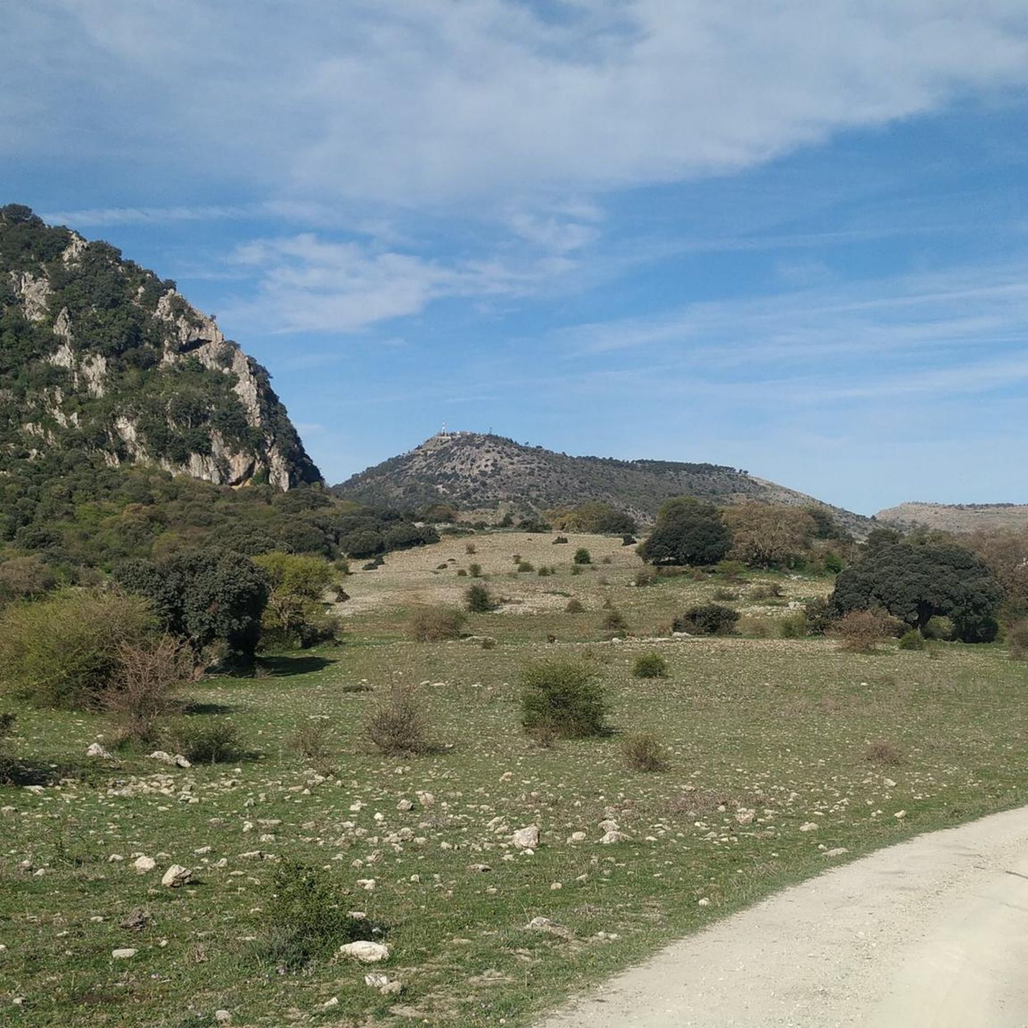
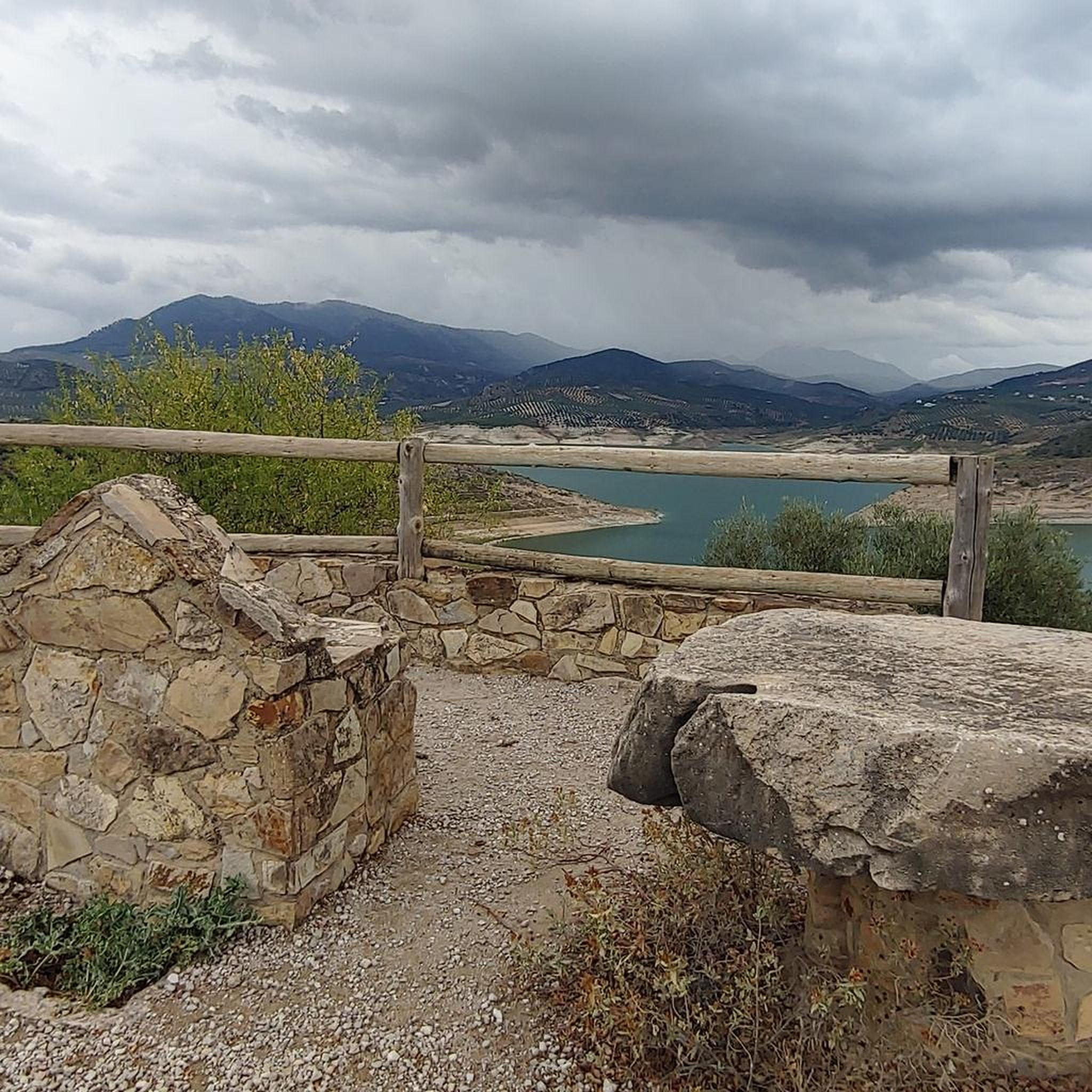
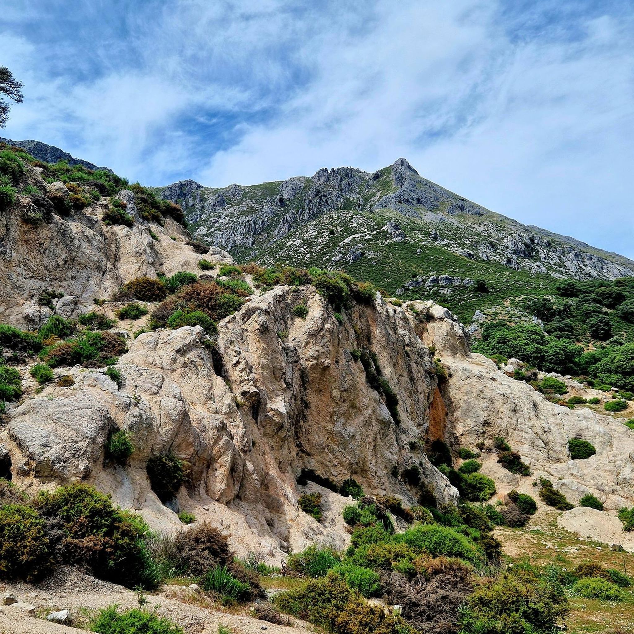
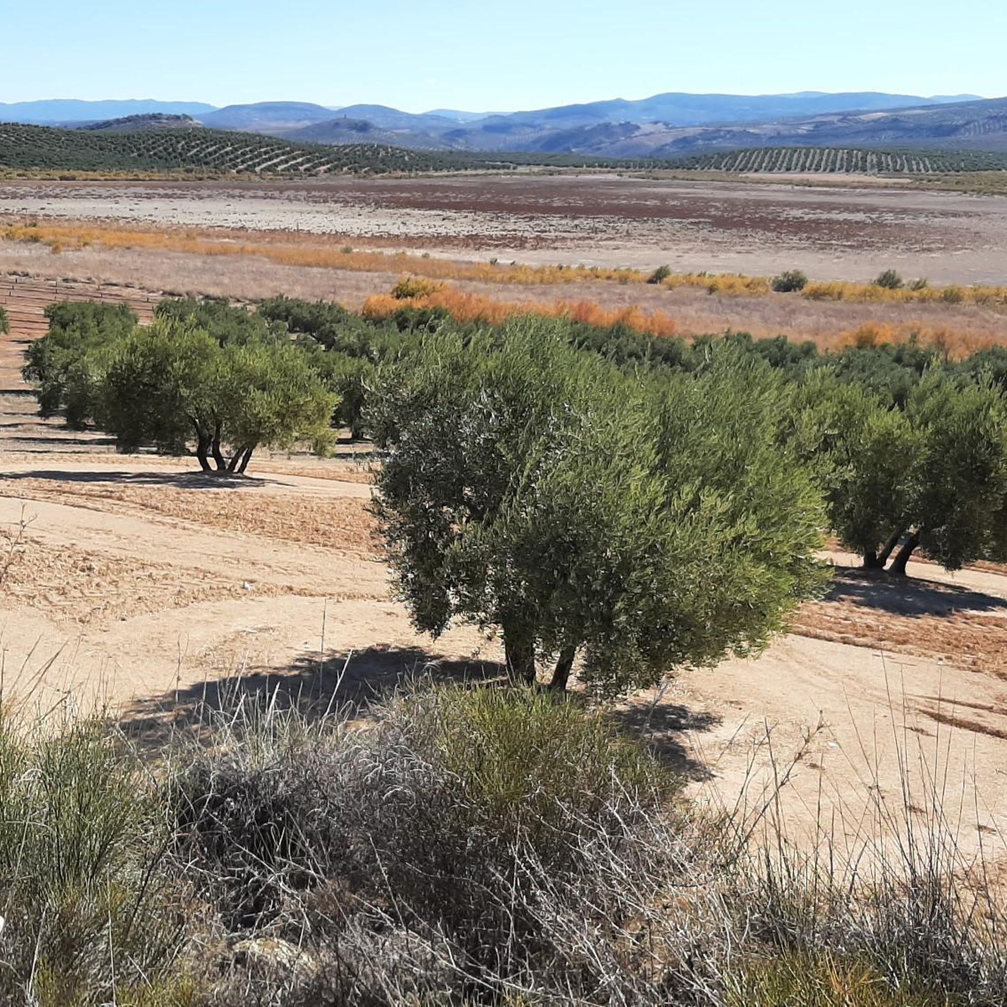
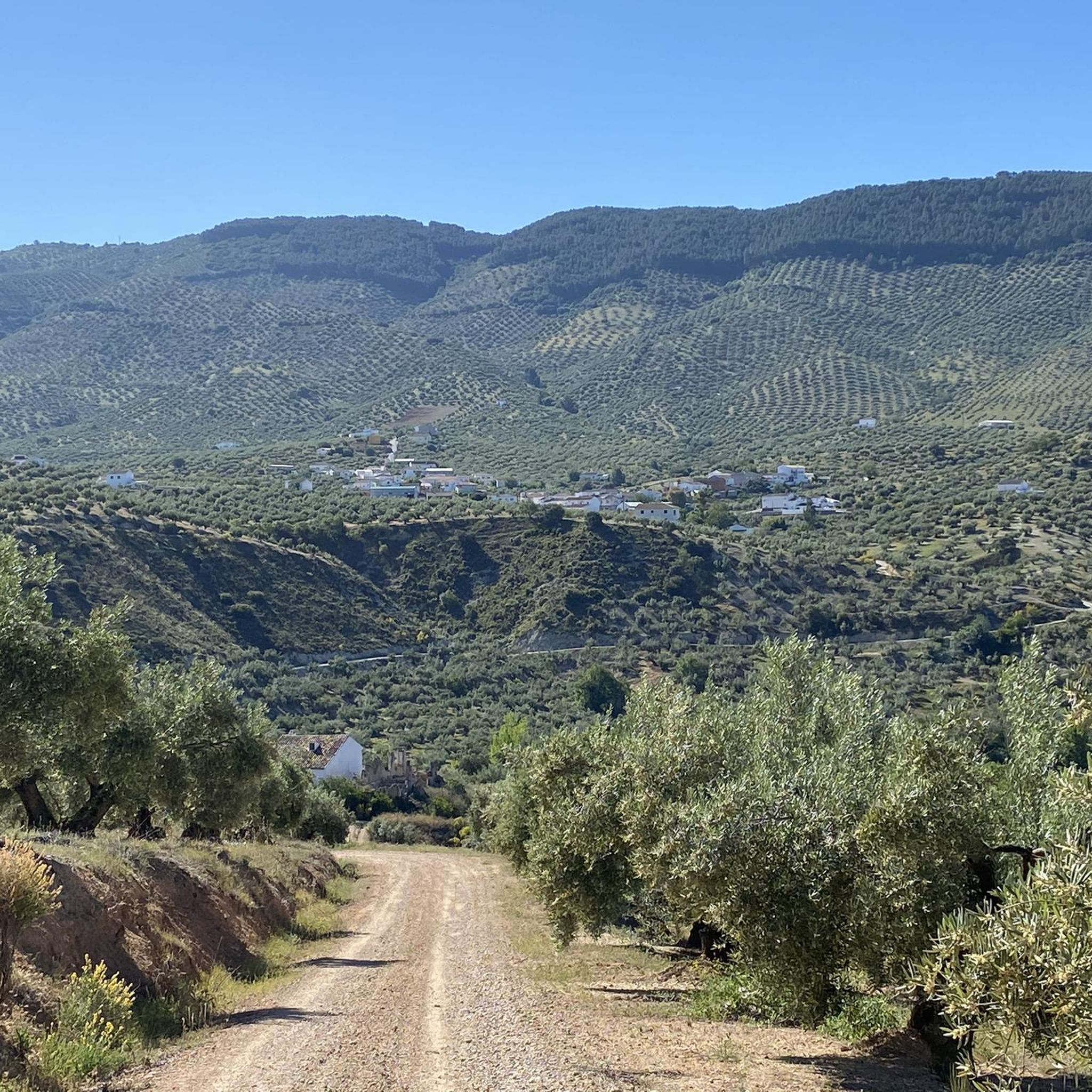
Hiking trails around Penibetica traverse a diverse landscape characterized by dramatic mountain ranges, including the prominent Sierra Nevada. The region features varied terrain, from high-altitude peaks and alpine lakes to limestone formations, profound gorges, and rich vegetation. Hikers can explore a wide array of natural features, including ancient water systems and unique ecosystems within its natural parks. This area offers extensive networks of trails suitable for various skill levels, making it a significant destination for outdoor activities in Andalusia.
Best…
Last updated: August 27, 2026
4.7
(46)
187
hikers
12.3km
03:43
410m
410m
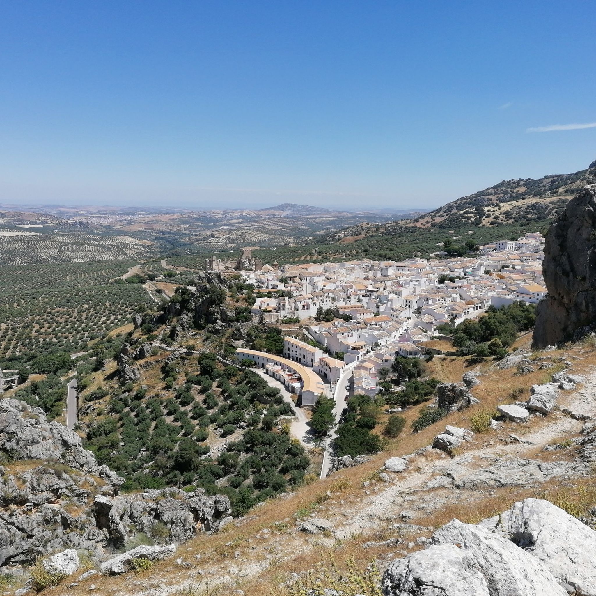
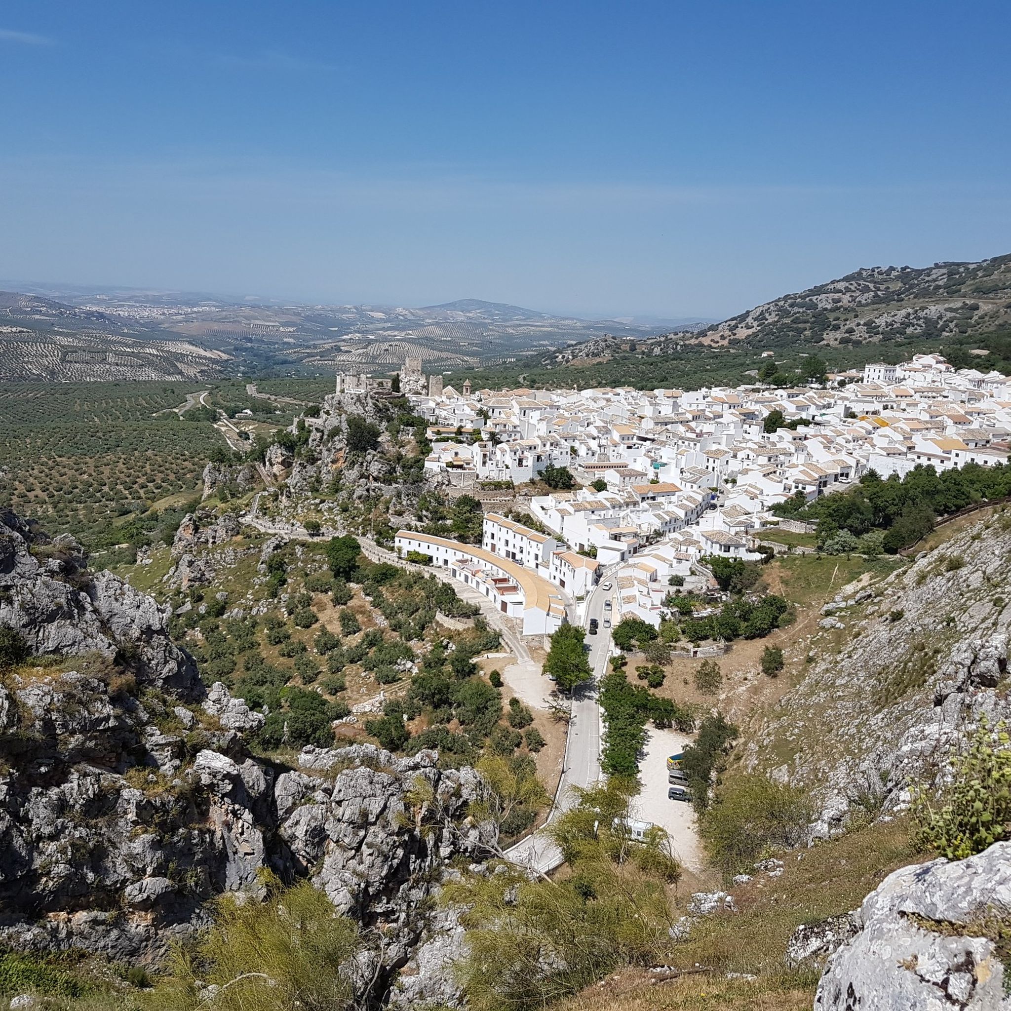
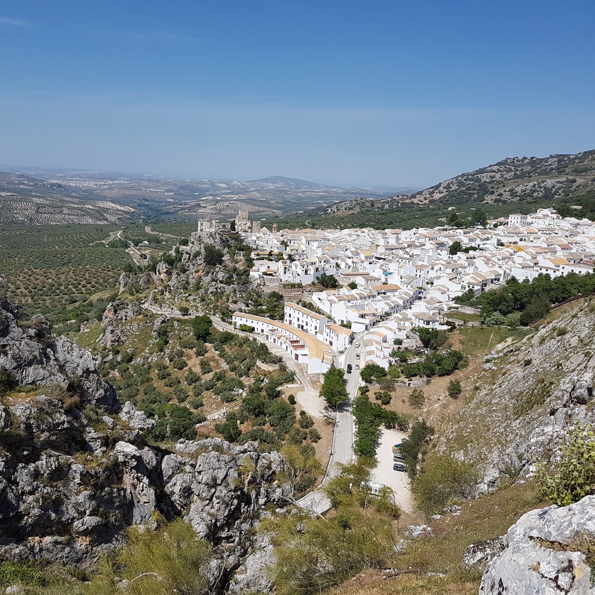
Hike a moderate 7.6-mile (12.3 km) loop from Zuheros through the karst landscapes of Sierras Subbéticas, with castle views.
4.8
(22)
185
hikers
12.5km
04:28
700m
700m
The La Tiñosa Public Trail immerses you in a landscape that evolves from the tranquil olive groves and holm oak forests of Las Lagunillas to the rock formations and summit…

Sign up for free
4.1
(10)
46
hikers
7.85km
02:33
370m
370m
Hike a moderate 4.9-mile (7.9 km) circular route near Zuheros, exploring the Bailón Canyon and passing the Cueva de los Murciélagos.
4.6
(17)
50
hikers
9.10km
03:13
510m
510m
Hike the moderate Sierra de Rute – circular via El Canuto from Rute, a 5.7-mile trail offering panoramic views and a historic watchtower.
4.7
(9)
42
hikers
Moderate hike. Good fitness required. Easily-accessible paths. Suitable for all skill levels.
4.1
(9)
37
hikers
11.2km
03:26
420m
420m
Moderate hike. Good fitness required. Easily-accessible paths. Suitable for all skill levels.
4.5
(6)
26
hikers
8.06km
02:26
240m
240m
Hike the moderate 5.0-mile Cerro de la Cruz and Salto del Caballo Trail, featuring panoramic views and a stunning 30-meter waterfall.
4.8
(4)
20
hikers
16.0km
04:46
470m
470m
Moderate hike. Good fitness required. Easily-accessible paths. Suitable for all skill levels.
5.0
(7)
27
hikers
14.0km
05:02
650m
650m
Hard hike. Very good fitness required. Sure-footedness, sturdy shoes and alpine experience required.
4.5
(2)
21
hikers
3.66km
01:20
230m
230m
Hike the easy 2.3-mile Enrique Triano Trail in Parque Natural Sierras Subbéticas, featuring the La Cabrera Viewpoint and a botanical path.
Get access to more routes and recommendations from other explorers.
Sign up for free
Already have an account?
Our route recommendations are based on thousands of hikes, rides, and runs completed by other people on komoot.
Start today with a free account
Your next adventure awaits.
Login or Signup


Tips from the Community

Once you reach the top and arrive at this point, you’re rewarded with an incredible feeling and truly breathtaking views.
0
0


Be careful when exploring! You've left the official path for this.
1
0

The donkeys really seem to have a good life here.
2
0

The viewpoint gives you impressive views of the canyon formed by the Bailón River and the town of Zuheros.
1
0
This cave is known as the Friar's because of the stalacmite at the entrance, which many say resembles one of these religious people.
1
0

Beautiful views. There is no shade, so it should be taken into account if you wish to rest before starting the return.
1
0
Good views, although the cave is more a place of passage than a place of rest, because it is, above all, a place to shelter animals.
0
0
Frequently Asked Questions
What are the typical difficulty levels for hiking trails in Penibetica?
The Penibetica region offers a wide range of hiking trails to suit various abilities. You'll find 27 easy routes perfect for leisurely strolls, 52 moderate trails for those seeking a bit more challenge, and 4 difficult routes for experienced hikers looking for demanding ascents and rugged terrain. The region's diverse landscape, from high-altitude peaks to profound gorges, ensures there's a suitable path for every skill level.
Are there any challenging multi-day hikes in the Penibetica region?
While the provided data focuses on day hikes, the Penibetica mountain range, especially the Sierra Nevada, is known for its majestic peaks like Mulhacén and Veleta, offering challenging treks. These high-altitude areas feature extensive trail networks, including GR (Grand Route) paths, and refuges, making them suitable for multi-day expeditions. For example, the difficult route Sierra Horconera – Pico Bermejo por el Puerto del Cerezo covers nearly 14 km with significant elevation gain, giving a taste of the more strenuous options available.
Can I find easy, family-friendly walks in Penibetica?
Yes, Penibetica offers 27 easy hiking routes that are generally suitable for families. These trails often feature less elevation gain and shorter distances, allowing for a more relaxed experience. While specific family-friendly routes aren't detailed here, the region's varied terrain includes options for all ages to enjoy the natural beauty.
What natural features can I expect to see while hiking in Penibetica?
Hiking in Penibetica reveals a dramatic and diverse landscape. You can expect to encounter majestic peaks, profound gorges, and spectacular limestone formations. The region is also rich in varied vegetation, alpine lakes, and ancient water systems known as acequias, particularly in the Sierra Nevada. Trails like the Río Bailón Canyon Trail showcase scenic canyons and unique geological features.
Are there any waterfalls to discover on hikes in Penibetica?
Yes, the Penibetica region is home to several beautiful waterfalls. You can explore highlights such as Chorreras de la Fuenseca, Las Chorreras Waterfall, Zurreón Waterfall, Salto del Caballo Waterfall, and Genilla River Waterfall. Some routes, like Chorreras de la Fuenseca from Zuheros, even lead directly to these natural attractions.
What interesting landmarks or attractions can I visit near the hiking trails?
Beyond the natural beauty, Penibetica offers cultural and historical landmarks. You can visit Zuheros Castle, enjoy the Views over the Laguna del Conde, or explore the fascinating Bat Cave. The Limestone formations and caves in the Bailón Canyon are also notable natural monuments worth exploring.
What is the best time of year to go hiking in Penibetica?
The Penibetica system, especially the Sierra Nevada, experiences diverse seasons. While high-altitude areas can be snow-capped in winter, offering opportunities for skiing, spring and autumn generally provide the most pleasant temperatures for hiking. These seasons avoid the intense summer heat and offer vibrant landscapes. Always check local weather conditions and trail accessibility, especially for higher elevations.
Are there any circular hiking routes in Penibetica?
Yes, Penibetica features several circular hiking routes. For instance, you can enjoy the Sierra de Rute – circular via El Canuto from Rute, a moderate 9.1 km loop. Another option is the Cañón del río Bailón — circular desde Zuheros, which is a longer 16 km moderate trail.
Are dogs allowed on hiking trails in Penibetica?
Many natural parks and protected areas in Andalusia, including parts of the Penibetica system, have specific regulations regarding dogs. While some trails may allow dogs on a leash, others might have restrictions, especially in areas with sensitive wildlife or during certain seasons. It's always best to check the specific rules for the national or natural park you plan to visit before heading out with your dog.
How many hiking trails are available in the Penibetica region?
There are over 80 hiking trails available in the Penibetica region, offering a wide variety of experiences. This includes 27 easy, 52 moderate, and 4 difficult routes, ensuring options for every hiker.
What do other hikers say about their experience in Penibetica?
The hiking trails in Penibetica are highly rated by the komoot community, with an impressive average score of 4.5 stars from over 300 reviews. More than 1700 hikers have used komoot to explore the region, often praising the dramatic landscapes, diverse natural features, and well-maintained trail networks that cater to various skill levels.
Is parking available at Penibetica trailheads?
Generally, parking is available at or near the trailheads for many popular hiking routes in Penibetica, especially those leading to well-known natural parks or attractions. However, specific availability can vary, particularly for more remote trails or during peak seasons. It's advisable to check route descriptions or local information for details on parking facilities before your trip.
How can I reach the hiking trails in Penibetica using public transport?
Access to hiking trails in the Penibetica region by public transport can be limited, especially for more remote areas. Major towns and villages within the region, such as those in the Sierra Nevada or near the Sierra de Grazalema, are typically served by bus routes. From these points, you might need to arrange local transport or walk to reach specific trailheads. Planning ahead and checking local bus schedules is recommended.
Most popular routes around Penibetica
Most popular attractions around Penibetica

Get inspired with the komoot mobile app


Didn’t find what you were looking for?
Check out more Hikes throughout Penibetica below and find the perfect route in your destination.
Explore more
Browse the best Hikes in other regions.
