The best walks and hikes around Bajo Almazora
4.4
(1128)
8,197
hikers
299
hikes
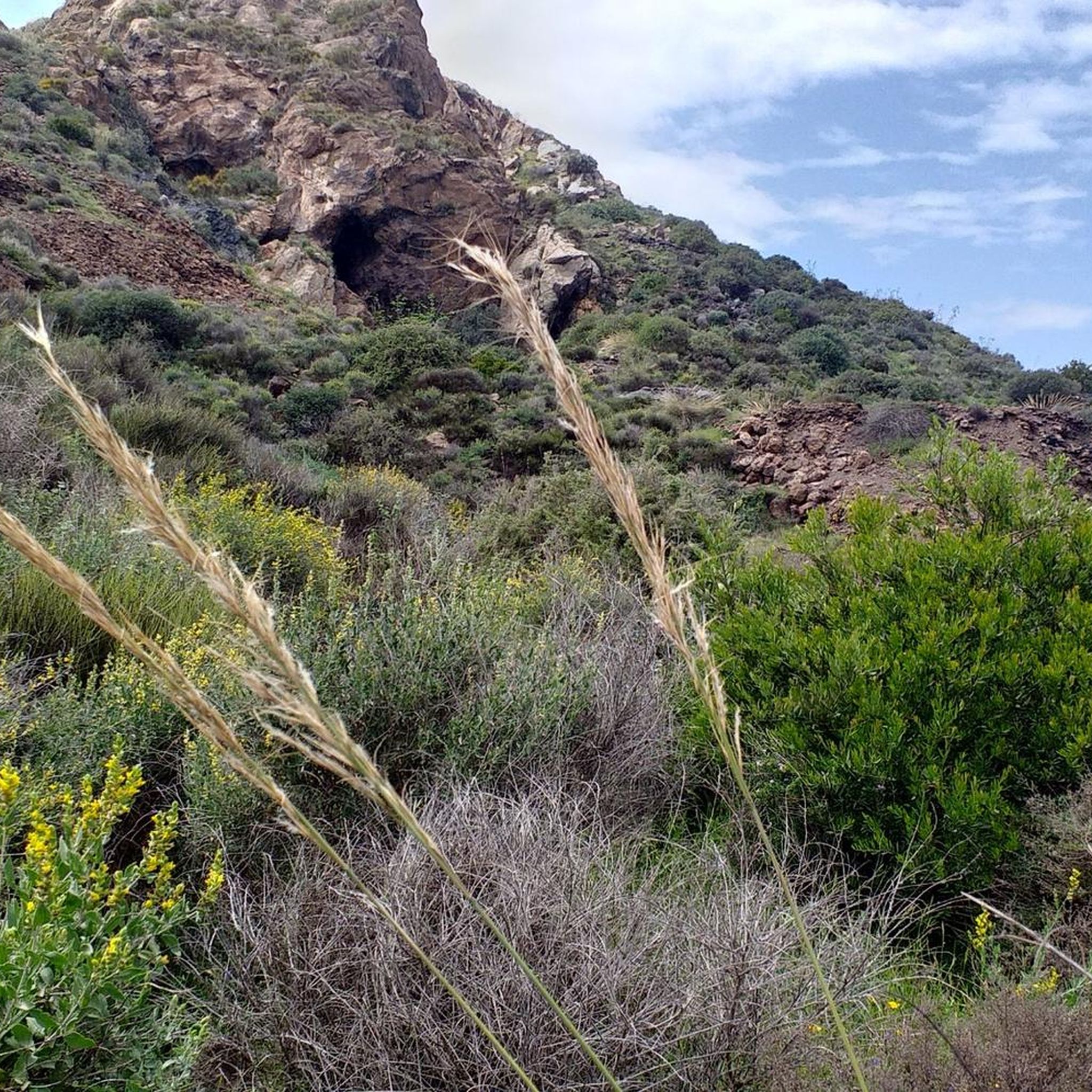
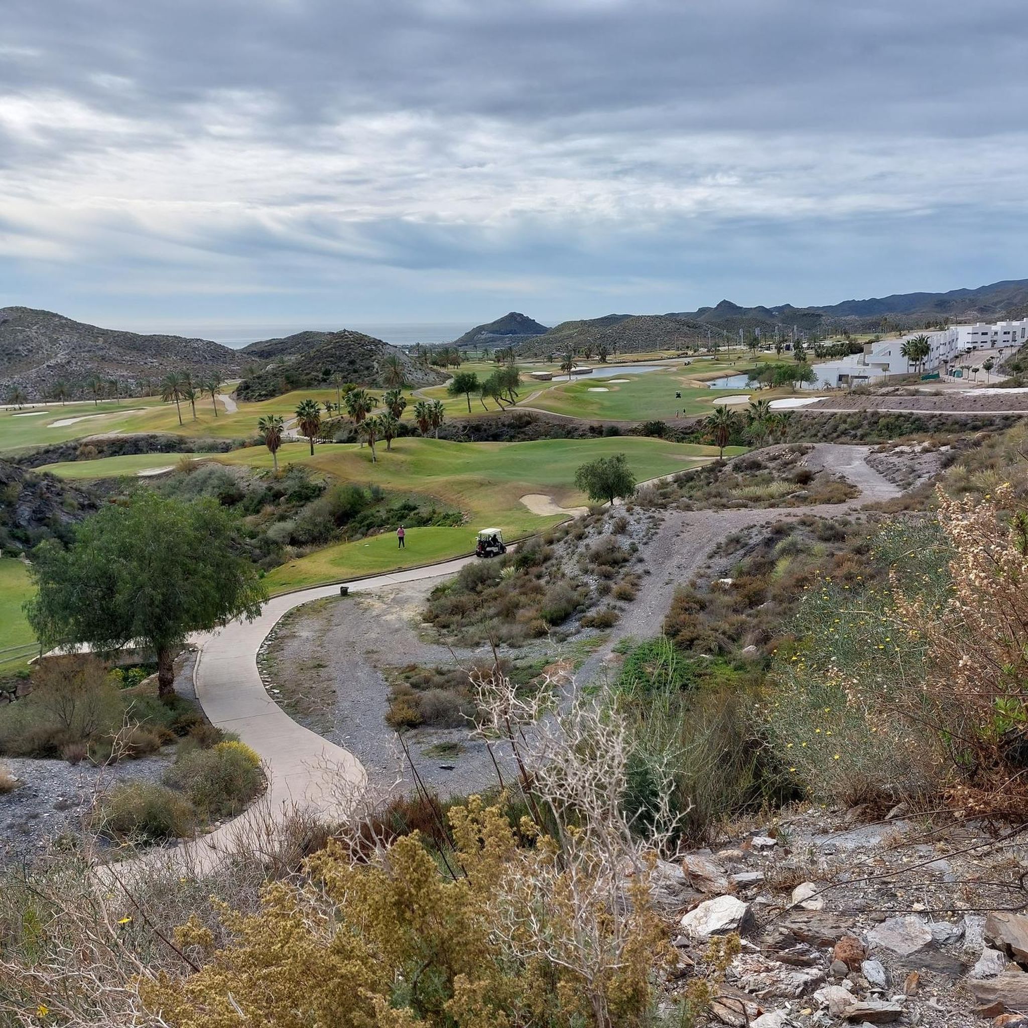
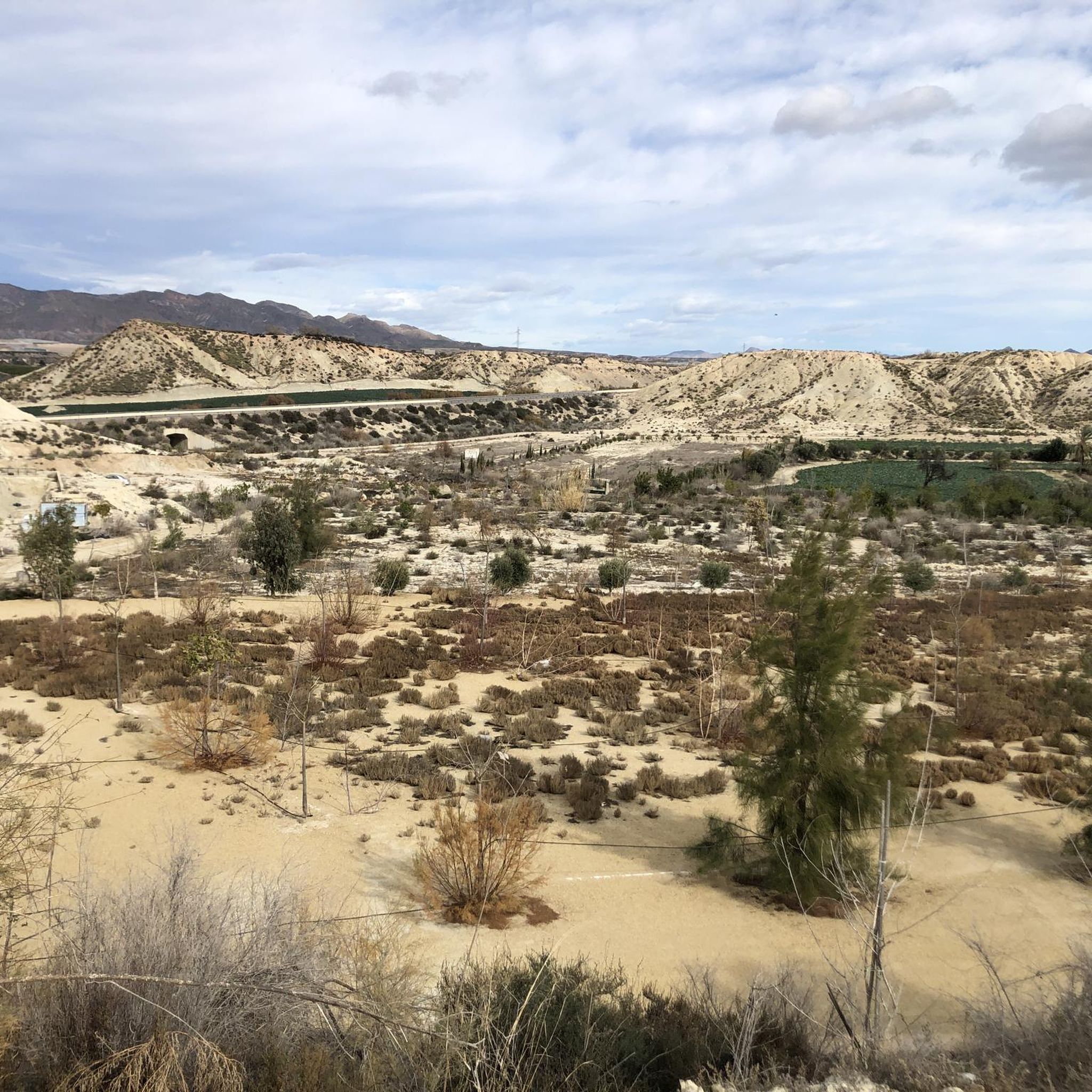
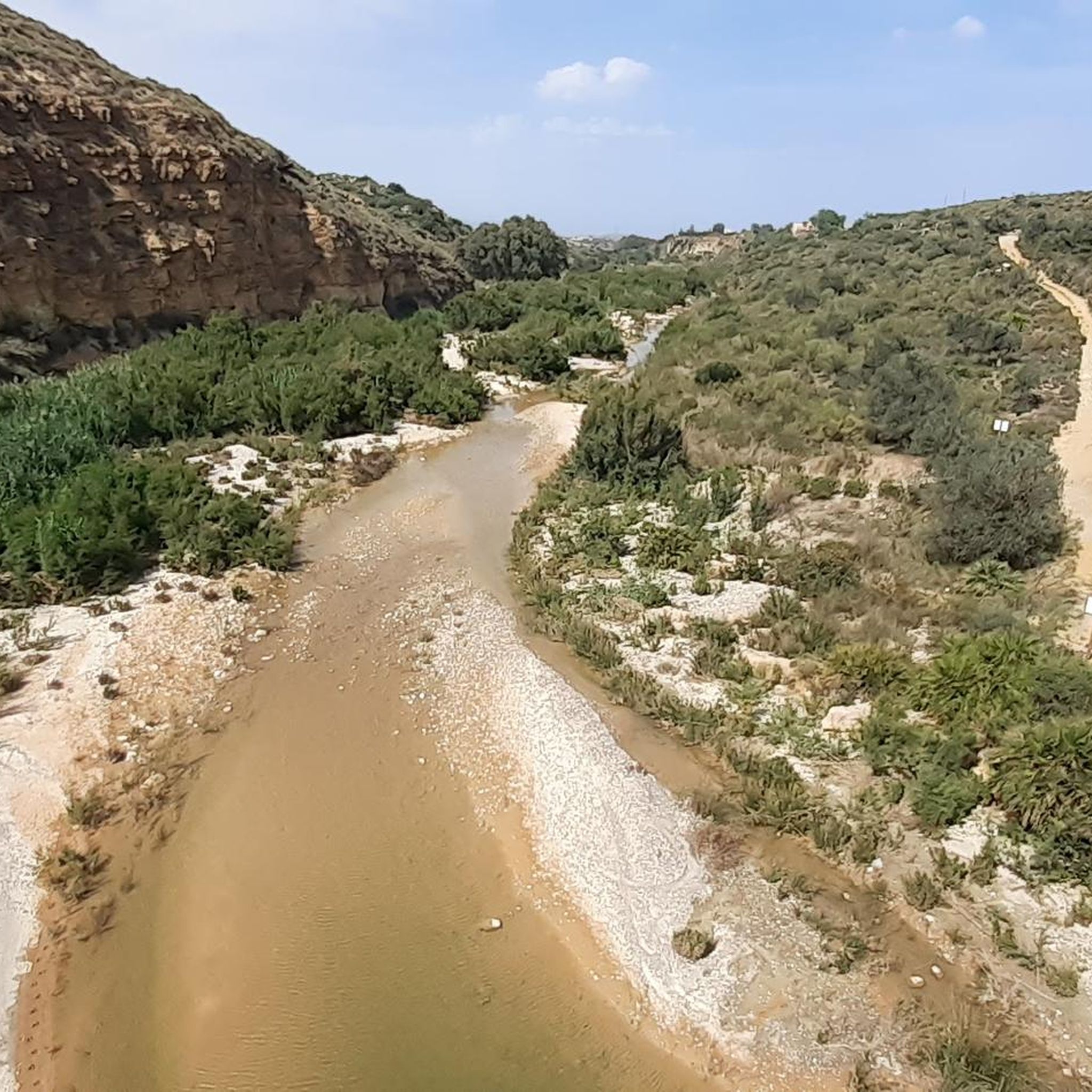
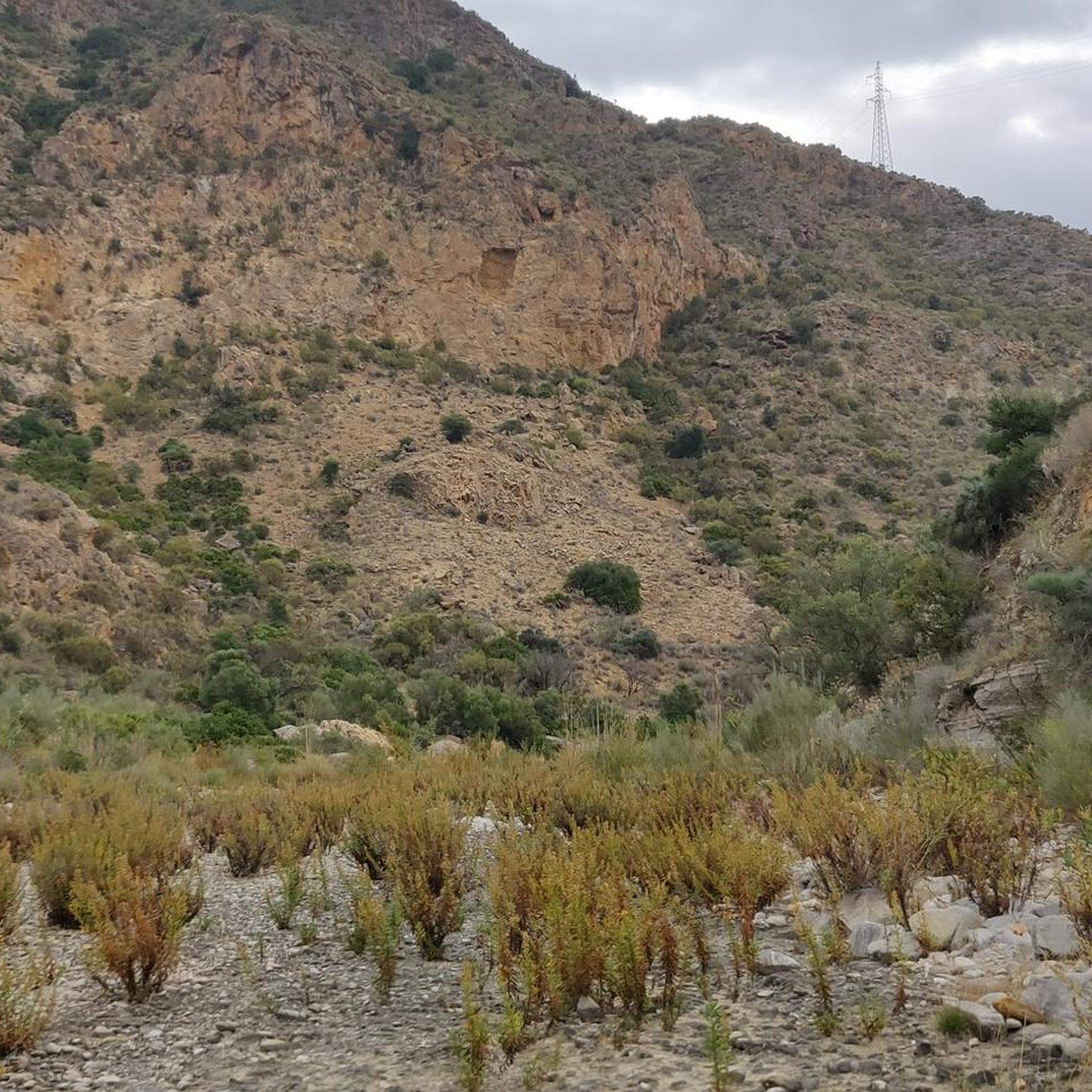
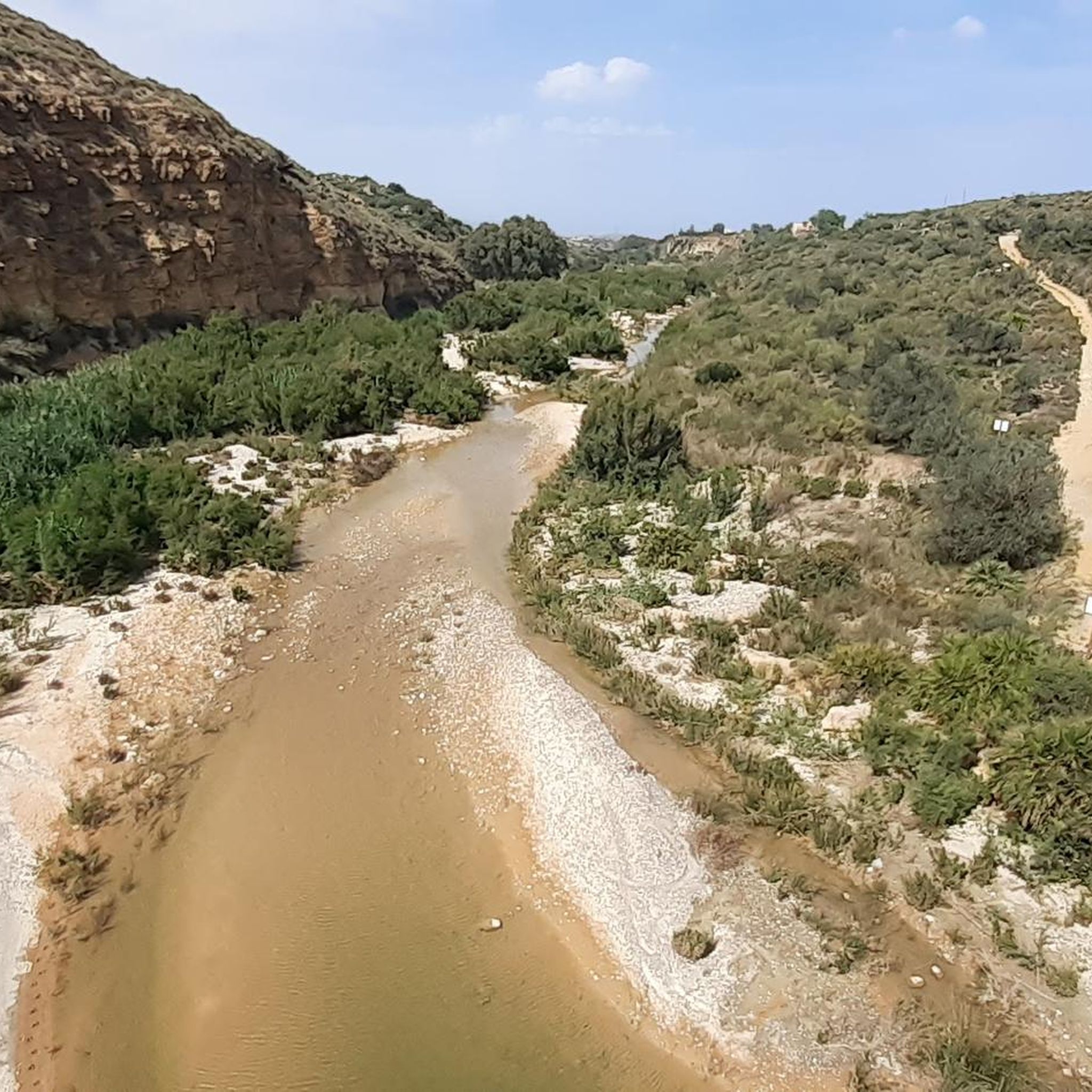
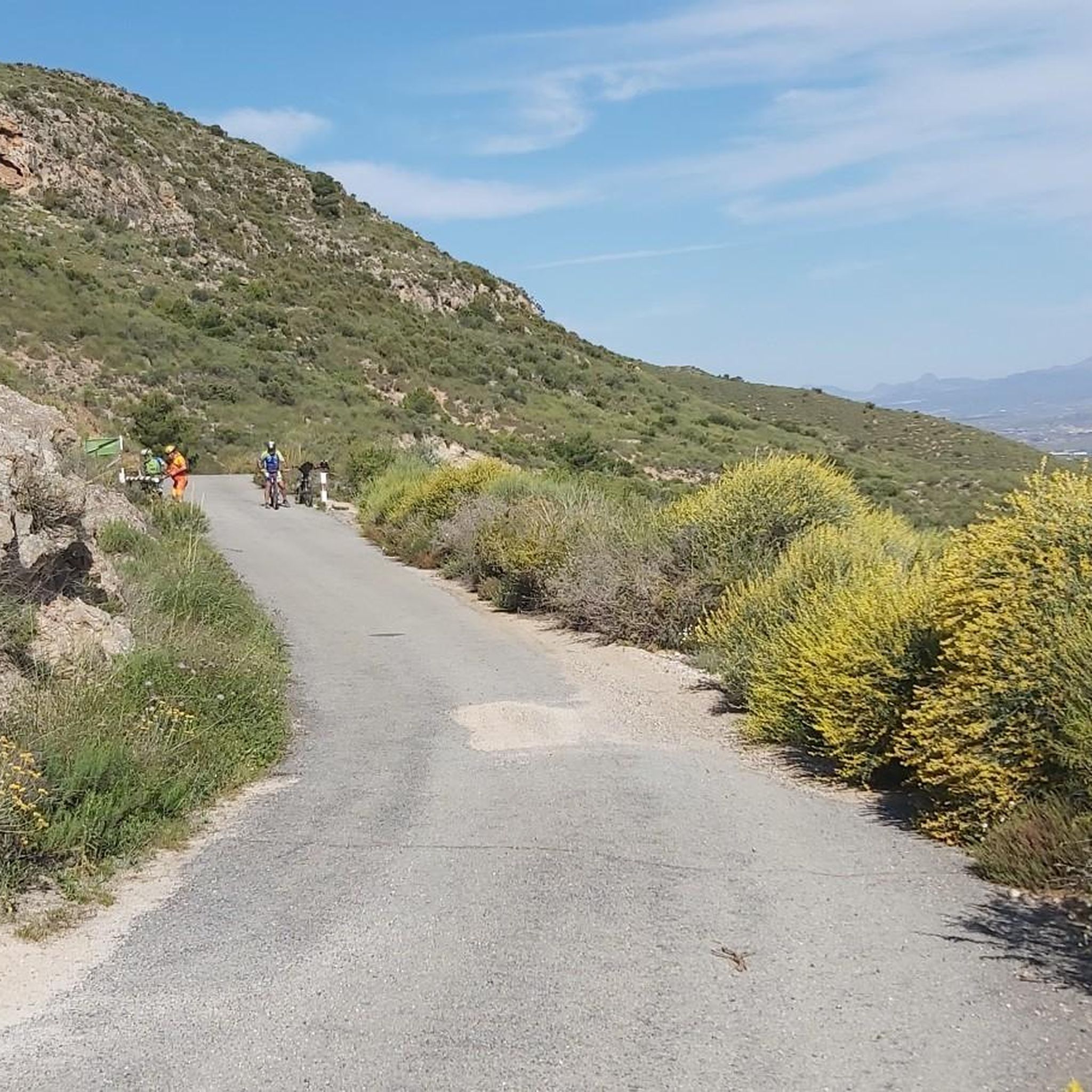
Hiking trails around Bajo Almazora traverse a diverse landscape, characterized by river valleys, mountainous areas, and coastal stretches. The region's natural features include the Almanzora river, which supports varied vegetation and provides scenic backdrops for routes. This area offers a range of terrains, from fertile riverbanks to higher elevations, suitable for different hiking preferences.
Best hiking trails around Bajo Almazora
- The most popular hiking route is Natural Park of Cabo de Gata – Chacona Cord Trail (PR-A 96), an…
Last updated: August 31, 2026
4.5
(6)
29
hikers
12.9km
03:32
210m
210m
Moderate hike. Good fitness required. Easily-accessible paths. Suitable for all skill levels.
4.2
(6)
33
hikers
5.48km
01:38
160m
160m
Easy hike. Great for any fitness level. Easily-accessible paths. Suitable for all skill levels.

Sign up for free
4.8
(9)
24
hikers
18.5km
05:42
660m
660m
Hard hike. Very good fitness required. Easily-accessible paths. Suitable for all skill levels.
4.0
(1)
3
hikers
19.9km
05:40
410m
410m
Hard hike. Very good fitness required. Mostly accessible paths. Sure-footedness required.
3
hikers
22.1km
06:02
320m
320m
Hard hike. Very good fitness required. Easily-accessible paths. Suitable for all skill levels.
16.9km
04:41
290m
290m
Moderate hike. Good fitness required. Easily-accessible paths. Suitable for all skill levels.
4.8
(82)
266
hikers
11.5km
03:19
270m
270m
Moderate hike. Good fitness required. Mostly accessible paths. Sure-footedness required.
4.6
(30)
148
hikers
11.6km
03:08
150m
150m
Moderate hike. Good fitness required. Easily-accessible paths. Suitable for all skill levels.
3.7
(3)
158
hikers
Easy hike. Great for any fitness level. Easily-accessible paths. Suitable for all skill levels.
4.7
(16)
86
hikers
4.81km
01:25
130m
130m
Easy hike. Great for any fitness level. Easily-accessible paths. Suitable for all skill levels.
Get access to more routes and recommendations from other explorers.
Sign up for free
Already have an account?
Our route recommendations are based on thousands of hikes, rides, and runs completed by other people on komoot.
Start today with a free account
Your next adventure awaits.
Login or Signup
Other adventures around Bajo Almazora


Tips from the Community

At the end of this tunnel there is a seating area for a rest or a picnic
0
0

What a bizarre image, she looks like a witch.
12
0
The beautiful white Moorish village of Mojácar is situated on a rock, 2 km from the sea, and from afar you have a beautiful view of the typical Andalusian village. The village is part of the coast from Mojácar to San Juan de los Terreros. From Mojácar you have beautiful views over the sea, the Tabernas desert
10
0
There is a separate area reserved for dogs.
10
0
Just a half-hour drive from Mojácar, you can visit the Torre del Pirulico. This tower once served as a lookout post, allowing for a clear view of enemy attacks from the sea. Today, you can climb the tower for free. From the top, you'll enjoy the most beautiful views of the Mediterranean Sea.
9
0

It's interesting how many houses were built.
0
0

Nice beach bar near the Castillo, where you can sit and have a bite to eat.
0
0

It's a perfect spot to enjoy the Mediterranean: a seafront path with a bike lane, palm trees, bars, and terraces where the summer atmosphere blends with the sea breeze.
1
0
Frequently Asked Questions
How many hiking trails are available in Bajo Almazora?
Bajo Almazora offers a wide selection of hiking opportunities, with nearly 200 routes documented on komoot. These trails traverse diverse landscapes, from river valleys to mountainous areas and coastal stretches.
Are there easy hiking trails suitable for beginners or families in Bajo Almazora?
Yes, Bajo Almazora has 92 easy trails perfect for beginners or families. An excellent option is The Orchards of Mojacar - circular (SL-A 184), an easy 5.5 km path that winds through fertile orchards, offering a gentle walking experience.
What kind of landscapes can I expect to see while hiking in Bajo Almazora?
The region boasts diverse landscapes, including lush river valleys along the Almanzora River, mountainous areas with varied vegetation, and scenic coastal paths. You can experience everything from fertile riverbanks to higher elevations and stunning sea views.
Are there any challenging hikes for experienced trekkers?
Yes, for experienced hikers, there are 6 difficult trails. Consider the Sendero Turre - El Jalí – circular por Sierra Cabrera (PR-A 370), which is an 18.5 km route with significant elevation gain, offering a more demanding experience through the Sierra Cabrera mountains.
Are there any circular hiking routes in Bajo Almazora?
Many trails in Bajo Almazora are circular, allowing you to start and end at the same point. For example, The Orchards of Mojacar - circular (SL-A 184) is an easy circular route, and for a more moderate option, try the Pirulico Tower – Torre del Pirulico loop from Playa Venta del Bancal.
What interesting landmarks or attractions can I see along the hiking trails?
Hiking trails often pass by significant landmarks. You can visit the historic Pirulico Tower, explore the charming Mojácar Old Town, or enjoy panoramic Views from the Granatilla viewpoint. The region also features the impressive Cuevas de Almanzora Dam and Reservoir.
What do other hikers enjoy most about hiking in Bajo Almazora?
The area is highly rated by the komoot community, with an average score of 4.3 stars from over 500 reviews. Hikers often praise the diverse terrain, from coastal paths to mountain views, and the opportunity to explore both natural beauty and historical sites.
Are there any trails that offer views of the coast or sea?
Yes, many trails provide stunning coastal views. The Natural Park of Cabo de Gata – Chacona Cord Trail (PR-A 96) offers varied terrain within a protected natural park, often including glimpses of the sea. Another option is the Garrucha to Mojácar Old Town Loop, which combines coastal scenery with cultural exploration.
What is the best time of year to go hiking in Bajo Almazora?
Bajo Almazora benefits from a mild climate and abundant sunshine, making it suitable for year-round exploration. Spring and autumn generally offer the most comfortable temperatures for hiking, but even winter provides pleasant conditions for outdoor activities.
Are there any trails that pass by lakes or water features?
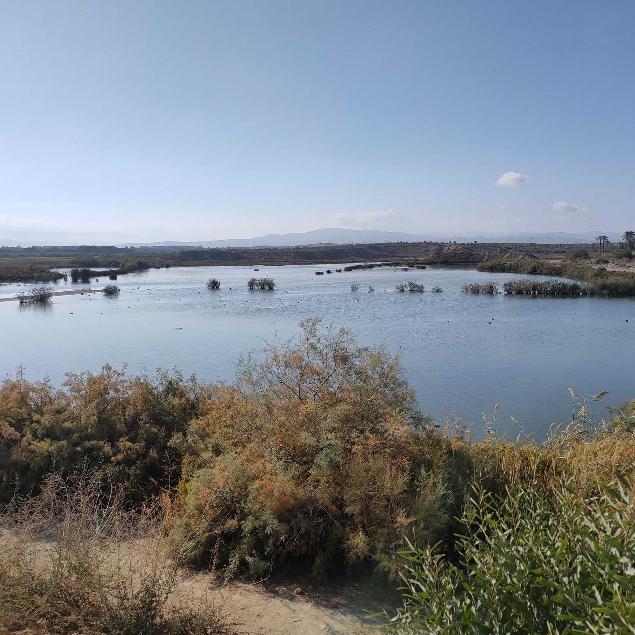
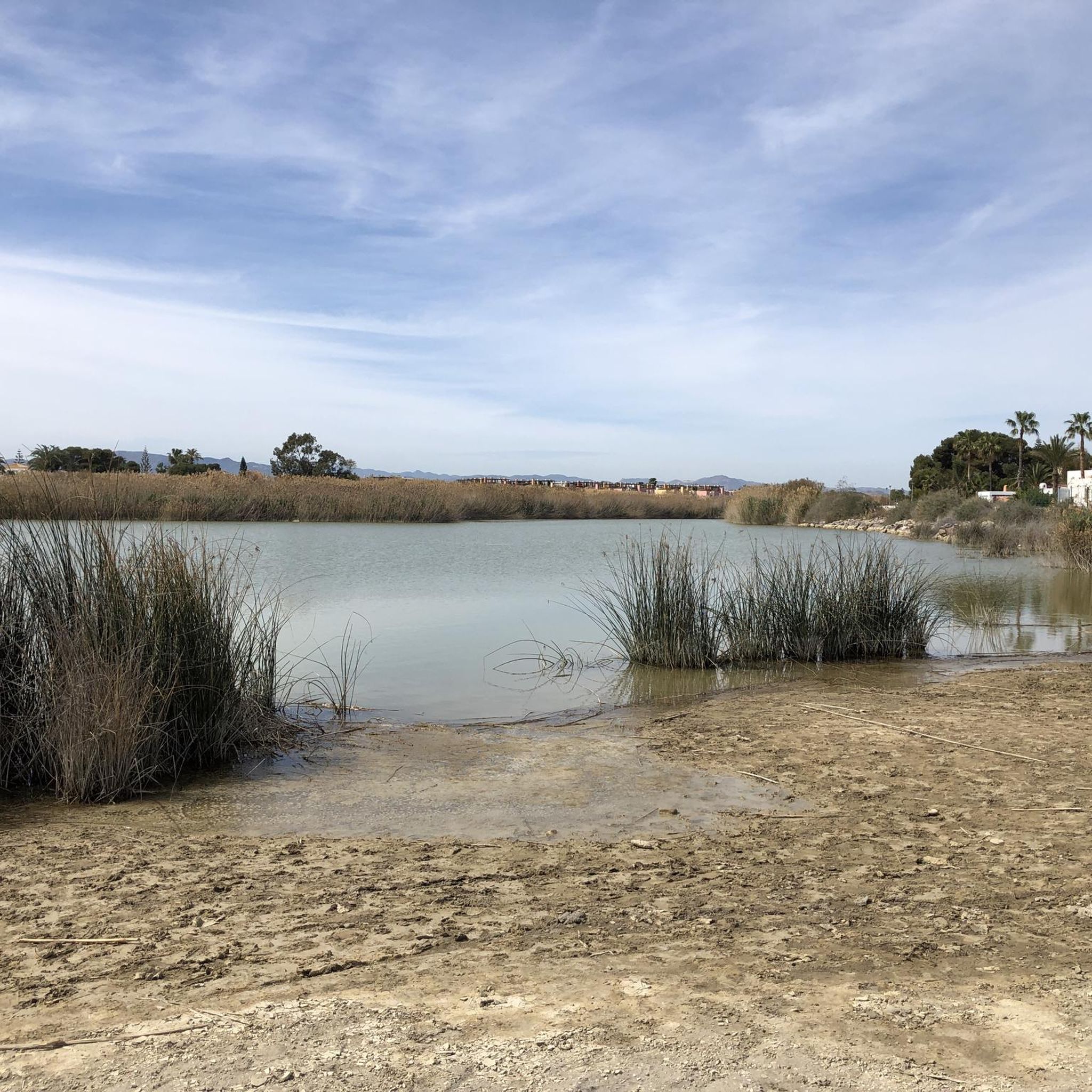
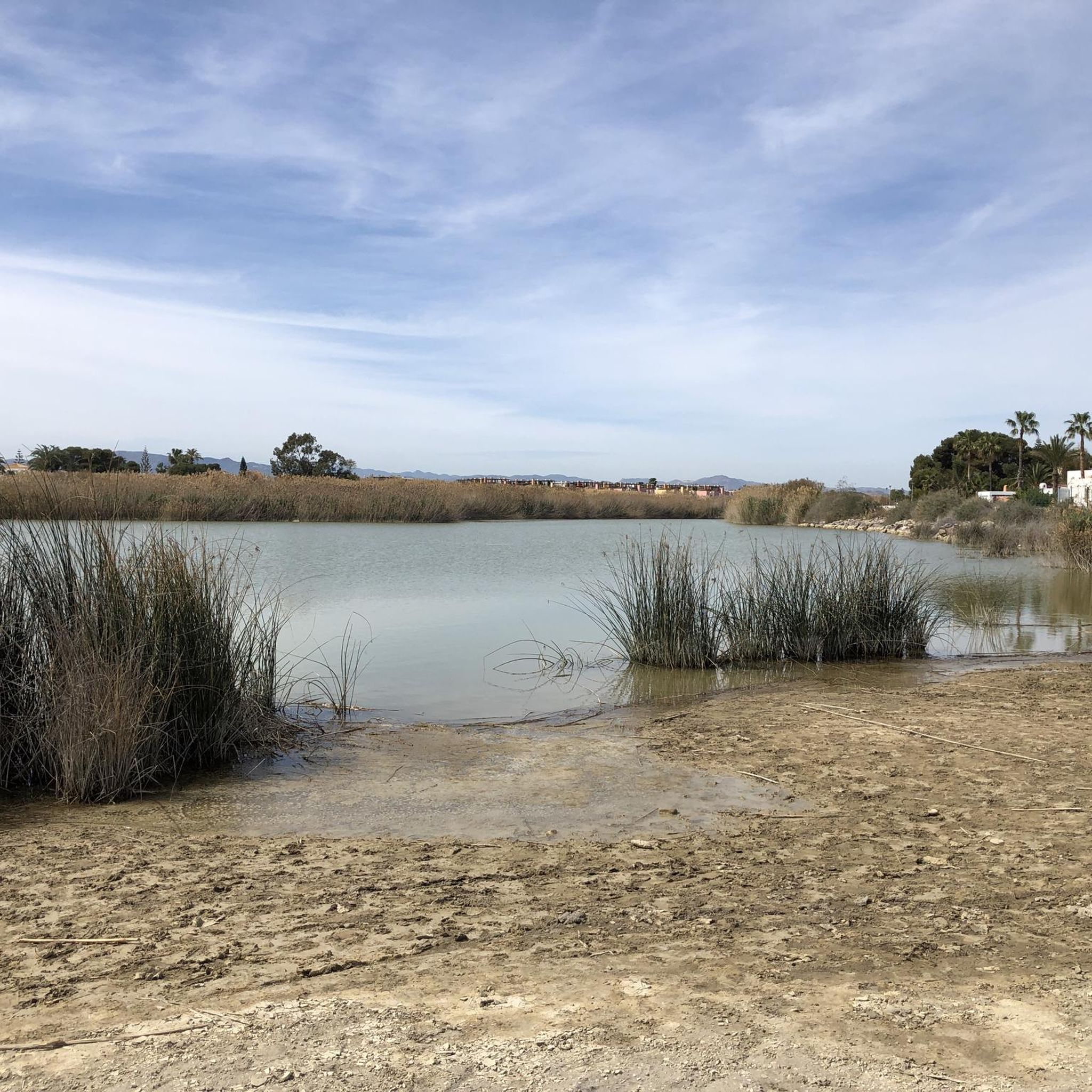
Yes, the region is home to several water features. The Cuevas de Almanzora Dam and Reservoir is a prominent attraction with trails around its beautiful lakeside setting. You can also find the Salar de los Caños Wetland, which is a significant natural area.
Can I find trails that are suitable for a longer day hike?
Absolutely. For a longer day hike, consider routes like Sierra Almagrera o de La Plata – circular desde Los Lobos, which is nearly 20 km long and takes around 5 hours 40 minutes to complete, offering a substantial trekking experience.
Most popular routes around Bajo Almazora
Most popular attractions around Bajo Almazora

Get inspired with the komoot mobile app


Didn’t find what you were looking for?
Check out more Hikes throughout Bajo Almazora below and find the perfect route in your destination.
Explore more
Browse the best Hikes in other regions.
