The best walks and hikes around La Serranía
4.5
(1245)
7,290
hikers
135
hikes
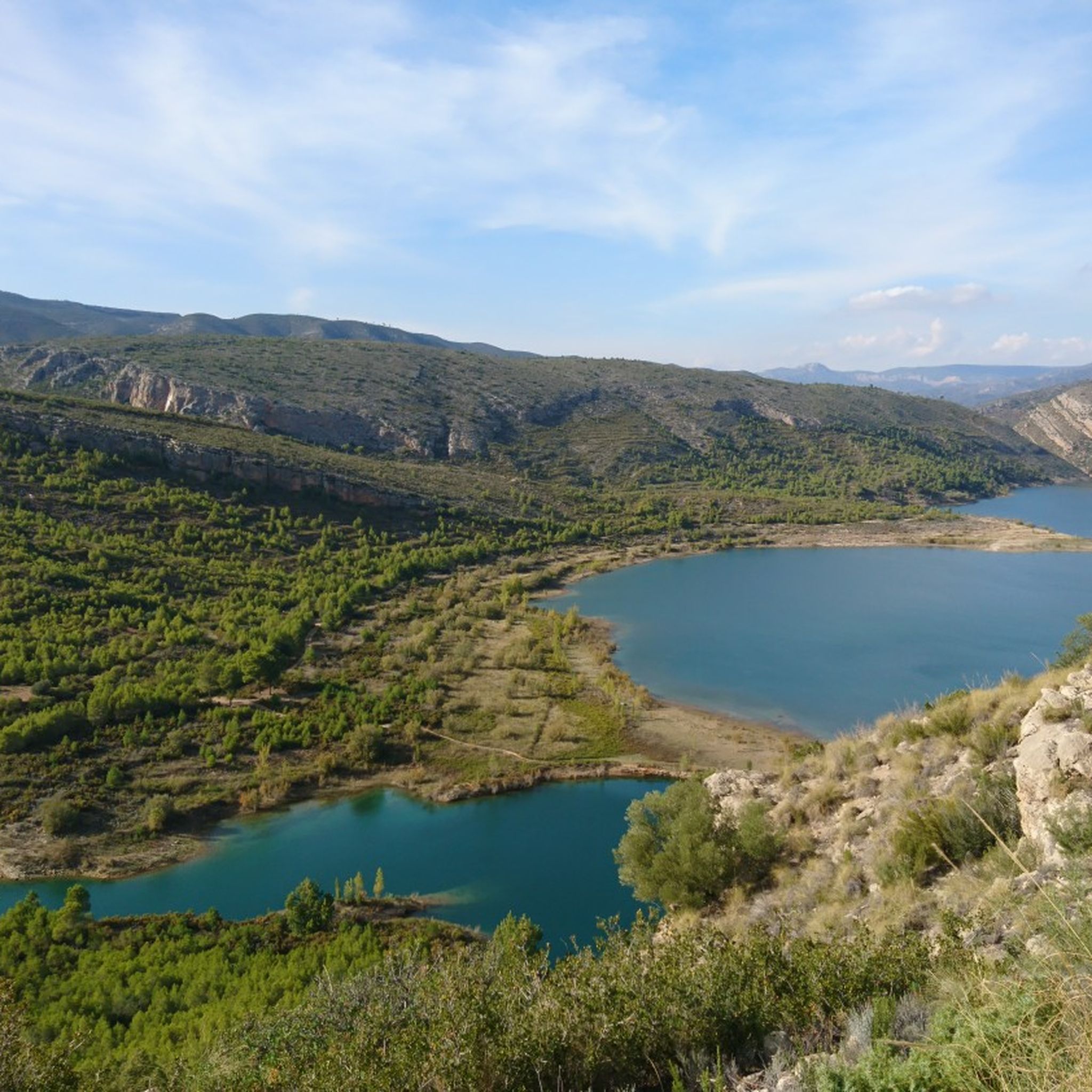
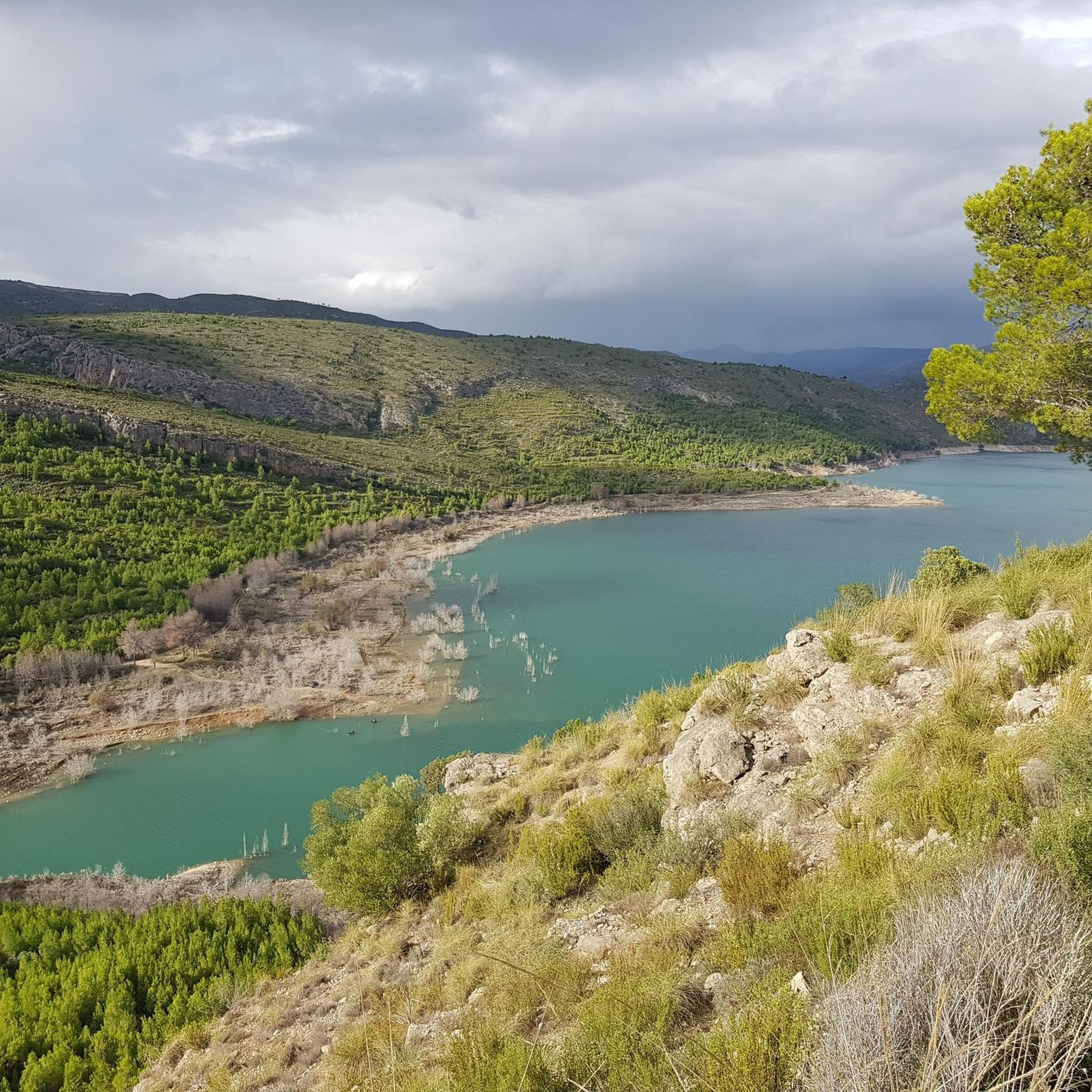
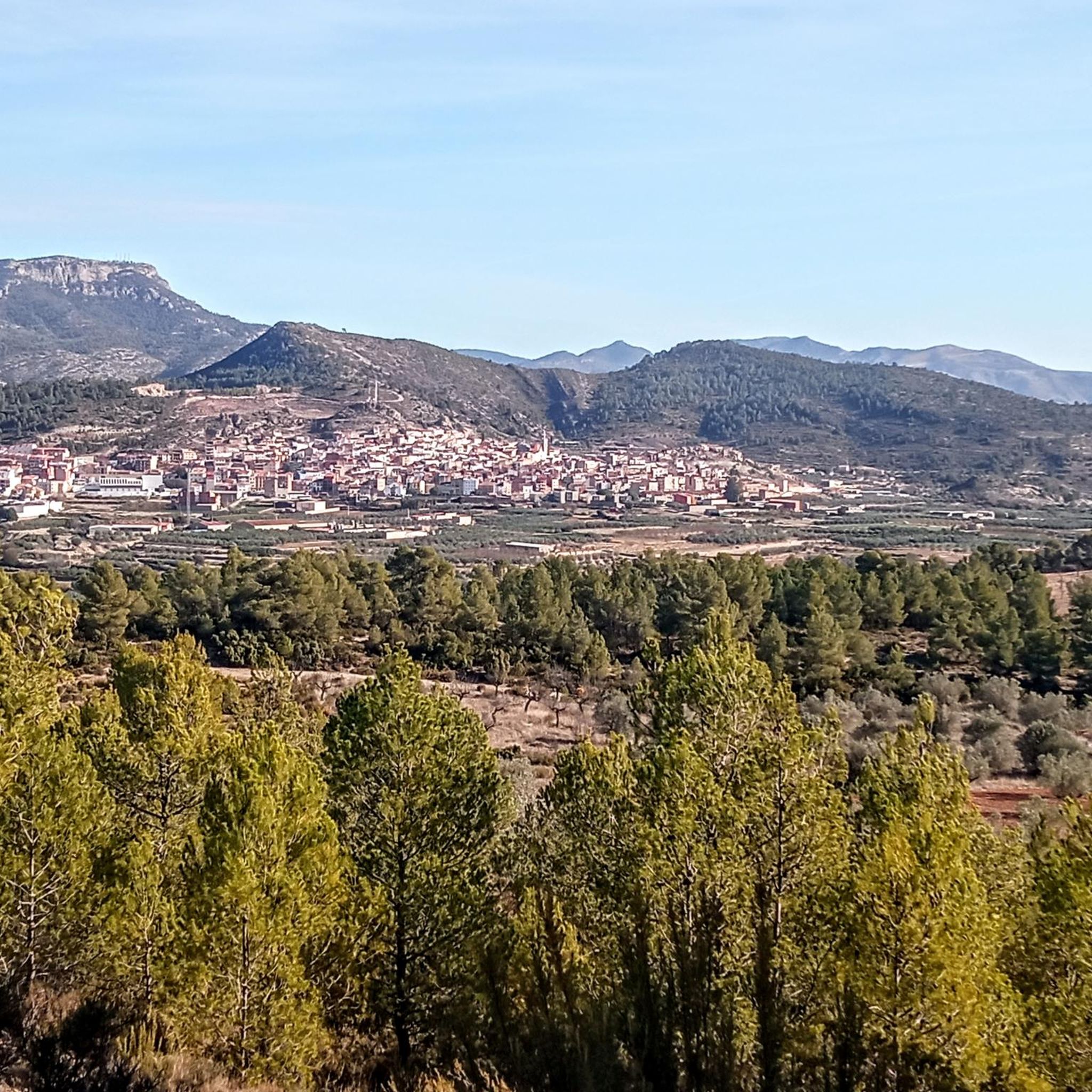
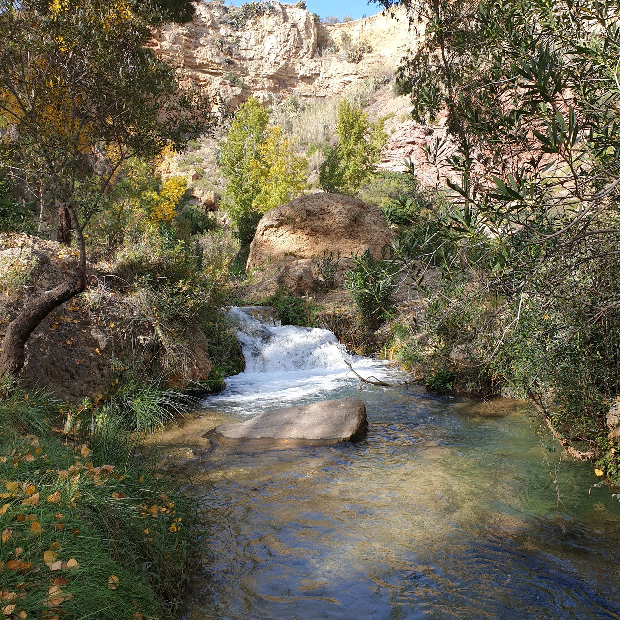
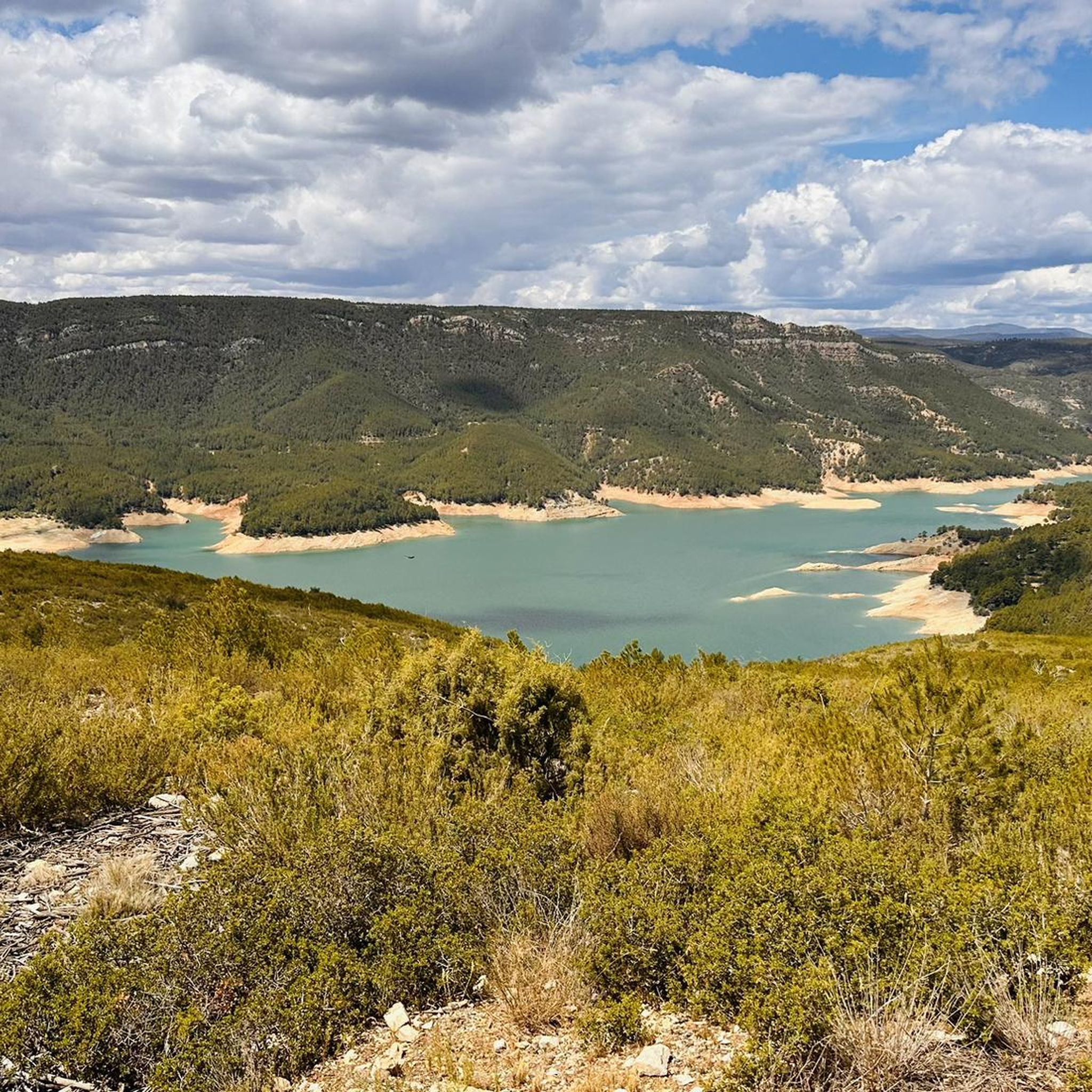
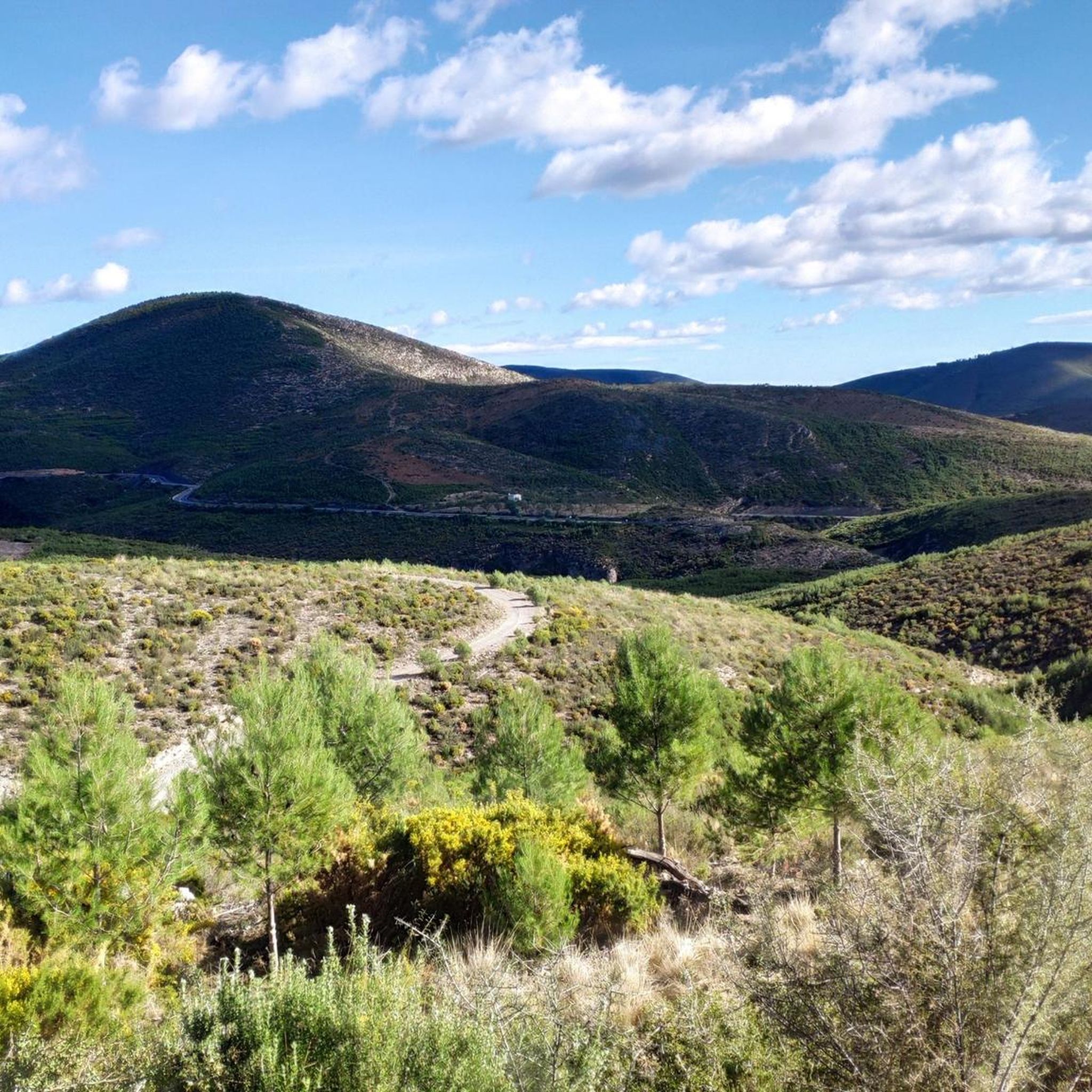
Hiking around La Serranía offers diverse natural landscapes, characterized by mountainous terrain, unique geological formations, and extensive woodlands. The region features karstic landscapes with eroded rock structures, numerous rivers, waterfalls, and lagoons. Hikers can explore areas with high average elevations, particularly in the Sierra de Ayllón, and traverse through forests of Scots pine, Black pine, oak, and ancient juniper. Gorges and panoramic viewpoints are also common features across the area.
Best hiking trails around La Serranía
- The most popular hiking route is Ruta de los Pantaneros and Hanging Bridges Trail, a 12.9 miles (20.7 km) trail that takes about 6 hours 47 minutes to complete, featuring impressive hanging bridges and river views.
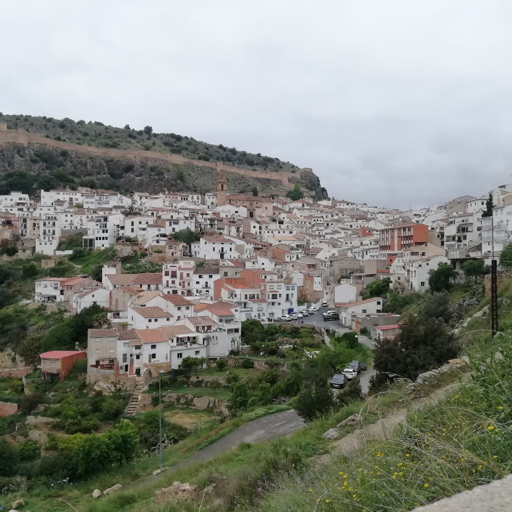
- Another top favourite among local hikers is Chelva Water and Three Cultures Route, a moderate 4.8 miles (7.7 km) path that explores historical sites and water features.
- Local hikers also love the Peña Cortada Aqueduct Trail, an 8.5 miles (13.7 km) trail leading through historical Roman aqueduct structures, often completed in about 4 hours 9 minutes.
- Hiking around La Serranía is defined by karstic rock formations, river valleys, and dense pine and oak forests. The network offers options for various ability levels, from easy riverside walks to more challenging mountain ascents.
- The routes in La Serranía are highly rated by the komoot community with an average score of 4.7 stars from over 900 reviews. More than 5,800 hikers have used komoot to explore La Serranía's varied terrain.
Last updated: July 7, 2026
4.7
(155)
789
hikers
20.7km
06:47
770m
780m
Hike the difficult 12.9-mile Chulilla — Circular route via the hanging bridges, gaining 2516 feet through stunning canyons.
4.6
(32)
196
hikers
7.70km
02:11
170m
170m
Hike the moderate 4.8-mile Water Route and Three Cultures of Chelva, exploring historical quarters and following the Chelva River.

Sign up for free
4.6
(45)
138
hikers
13.7km
04:08
340m
340m
Hike the moderate Peña Cortada Aqueduct Trail, an 8.5-mile route with 1127 feet of elevation gain, featuring Roman aqueducts and stunning vi
4.8
(10)
34
hikers
10.1km
03:23
470m
470m
Moderate hike. Good fitness required. Easily-accessible paths. Suitable for all skill levels.
4.5
(6)
42
hikers
15.1km
04:21
360m
360m
Moderate hike. Good fitness required. Mostly accessible paths. Sure-footedness required.
5.0
(3)
7
hikers
4.17km
01:08
60m
70m
Hike the easy 2.6-mile Water Route along the Reatillo River, featuring natural pools like Charco Gruñidor and Mediterranean forests.
4.5
(2)
3
hikers
12.5km
04:06
450m
450m
Moderate hike. Good fitness required. Mostly accessible paths. Sure-footedness required.
5.0
(2)
8
hikers
17.8km
05:29
630m
640m
Hard hike. Very good fitness required. Easily-accessible paths. Suitable for all skill levels.
4.0
(2)
7
hikers
5.68km
01:40
140m
140m
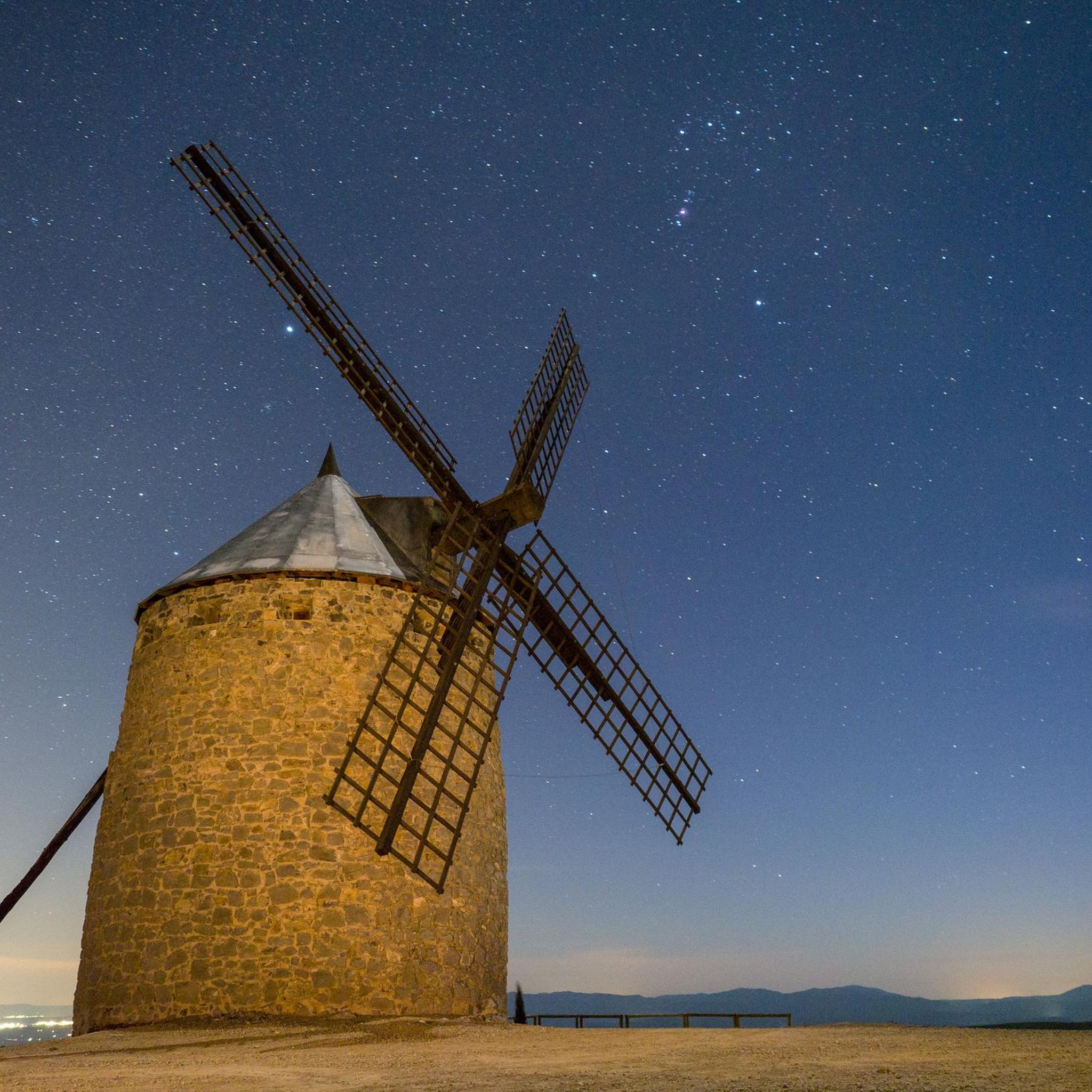
An easy 3.5-mile circular hike from Alcublas, featuring restored 17th-century windmills and panoramic views.
4.3
(3)
4
hikers
14.6km
04:15
380m
380m
Hike the moderate 9.1-mile La Solana y Barranco Lucía circular route from Alcublas, exploring pine forests and enjoying views of the Alcubla
Get access to more routes and recommendations from other explorers.
Sign up for free
Already have an account?
Our route recommendations are based on thousands of hikes, rides, and runs completed by other people on komoot.
Start today with a free account
Your next adventure awaits.
Login or Signup
Other adventures around La Serranía


Tips from the Community

Two beautiful suspension bridges, reached by descending long stairs far below. Ultimately, the bridges aren't suspended very high above the water. But well worth it!
0
1

The dam is now cluttered with trees and formwork, following the Dana of October 2024. I don't know if or when it will be cleaned up. However, it remains magnificent. The video of the Ruta del Agua is here: https://youtu.be/YgxESnd14Ww
1
0
Starting point for a visit to the beautiful village of Chelva and the superb Water Route (Ruta del Agua), well signposted from the square. Despite the signs at the beginning of the circuit indicating that the route is closed, it is possible to pass through with caution. To immerse yourself in the village's narrow streets and the Ruta del Agua, click here: https://youtu.be/YgxESnd14Ww
0
0
A short climb to get there, but what a reward when you arrive at this magnificent viewpoint. The Water Route (Ruta del Agua) video is here: https://youtu.be/YgxESnd14Ww
0
1
The water route is beautiful and can be done with the family. Some parts of the trail and the riverside are still badly damaged by the Dana of October 2024, but it remains passable and beautiful. The video is here: https://youtu.be/YgxESnd14Ww
1
1
The Playeta was badly damaged by the Dana River, but it's still magnificent. To immerse yourself in the Ruta del Agua, the video is here: https://youtu.be/YgxESnd14Ww
2
1
A good climb from Chulilla, rewarded with fantastic views. Follow the SL71 sign. If you want to see some footage, go here: https://youtu.be/6C-ttg8DGEc
0
0
Magnificent views, and each season offers its own beauty. If you want to see some footage, go to 14:02 on this video https://youtu.be/6C-ttg8DGEc
1
1
Frequently Asked Questions
How many hiking trails are available in La Serranía?
La Serranía offers a wide variety of hiking experiences, with over 140 trails available. These range from easy riverside walks to more challenging mountain ascents, catering to different skill levels.
What makes hiking in La Serranía unique?
La Serranía is characterized by its stunning natural landscapes, including unique karstic rock formations like the 'Ciudad Encantada' and 'Los Callejones de Las Majadas'. The region also boasts numerous rivers, waterfalls, and lagoons, alongside extensive mixed woodlands of pine and oak, providing diverse scenery and rich biodiversity.
What do other hikers enjoy most about the trails in La Serranía?
The trails in La Serranía are highly rated by the komoot community, with an average score of 4.7 stars from over 900 reviews. Hikers often praise the diverse terrain, from impressive hanging bridges to historical aqueduct structures, and the opportunity to explore both natural beauty and cultural heritage.
Are there any easy hiking trails suitable for families or beginners in La Serranía?
Yes, La Serranía offers several easy trails perfect for families or those seeking a relaxed walk. An example is The Water Route along the Reatillo River, which is just over 4 km long and features gentle elevation changes. There are 44 easy routes in total.
Can I find circular hiking routes in La Serranía?
Absolutely. Many trails in La Serranía are designed as circular routes, allowing you to start and end at the same point. For instance, consider Mirador del Morroncillo — Circular from Sot de Chera or The Azud Route (PR-CV 456) — Circular along the Tuéjar River for scenic loops.
Are there hiking trails that feature waterfalls in La Serranía?
Yes, the region is known for its water features. You can explore trails near the source of the Cuervo River, famous for its travertine springs and large waterfalls. Additionally, highlights like Chorros de Barchel Waterfalls and Tuéjar River Waterfall offer beautiful cascades to discover.
What kind of wildlife can I expect to see while hiking in La Serranía?
La Serranía's extensive forests provide habitats for diverse wildlife. Hikers might spot red deer, roe deer, and wild boar. The region is also popular for birdwatching, with various bird species inhabiting the woodlands. El Hosquillo Park, an experimental hunting and wildlife park, even allows visitors to see bears.
Are dogs allowed on the hiking trails in La Serranía?
While many natural areas in Spain are generally dog-friendly, it's always best to check specific local regulations for each trail or natural park within La Serranía, especially concerning protected areas or wildlife reserves. Always keep dogs on a leash and clean up after them.
What historical or cultural sites can I explore along the hiking routes?
La Serranía offers a blend of natural beauty and historical interest. The Peña Cortada Aqueduct Trail, for example, leads through impressive historical Roman aqueduct structures. The Chelva Water and Three Cultures Route also explores historical sites alongside water features.
What is the best time of year to go hiking in La Serranía?
The best time to hike in La Serranía generally depends on the specific region (e.g., Serranía de Cuenca or Serranía de Guadalajara) and your preference. Spring and autumn offer pleasant temperatures and vibrant landscapes, ideal for most hikers. Summer can be hot, especially in lower elevations, while winter may bring snow to higher peaks, offering different challenges and scenery.
Are there any viewpoints offering panoramic views in La Serranía?
Yes, La Serranía features several spots with breathtaking panoramic views. The Tío Cogote Viewpoint in Serranía de Cuenca offers a spectacular natural balcony over the region. Many trails also ascend to higher elevations, providing expansive vistas of the mountainous terrain and river valleys.
What kind of geological formations can I see in La Serranía?
La Serranía is renowned for its unique karstic landscapes, which are sculpted by water on calcareous rocks. You can witness impressive eroded rock structures that resemble a labyrinth of stone at sites like the 'Ciudad Encantada' (Enchanted City) and 'Los Callejones de Las Majadas'.
Most popular routes around La Serranía
Most popular attractions around La Serranía

Get inspired with the komoot mobile app


Didn’t find what you were looking for?
Check out more Hikes throughout La Serranía below and find the perfect route in your destination.
Explore more
Browse the best Hikes in other regions.
