The best walks and hikes around Gátova
4.5
(1016)
5,708
hikers
280
hikes
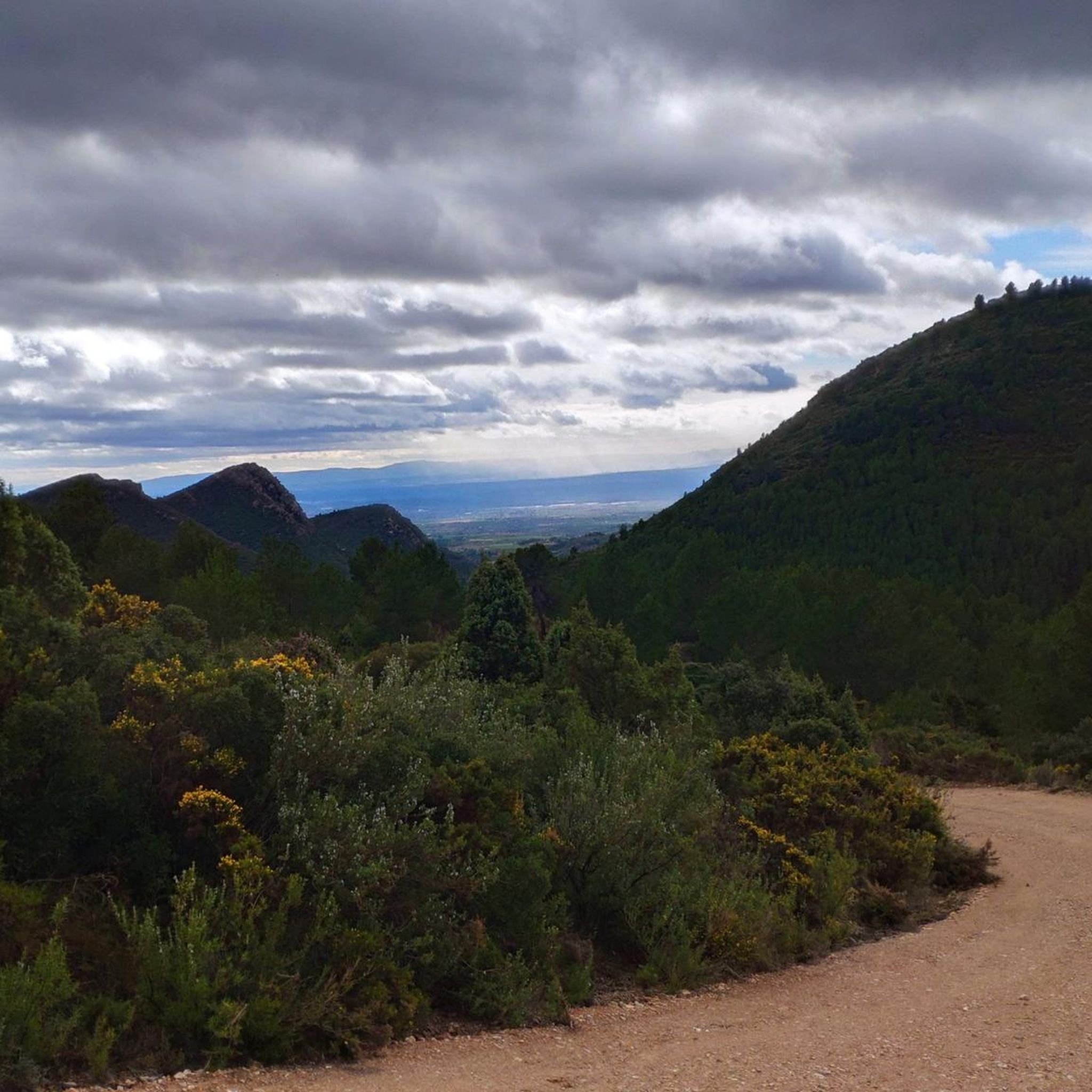
Hiking around Gátova offers trails through the Sierra Calderona Natural Park, characterized by its mountainous terrain, pine forests, and limestone formations. The region features a network of paths that traverse hills, valleys, and natural springs. Elevations vary, providing routes with both gradual ascents and more sustained climbs.
Best hiking trails around Gátova
- The most popular hiking route is Eagle Peak – Molino de La Ceja loop from Gátova, a 5.1 miles (8.2 km) trail that takes 2 hours 34…
Last updated: August 18, 2026
4.8
(9)
51
hikers
8.24km
02:35
310m
310m
Moderate hike. Good fitness required. Easily-accessible paths. Suitable for all skill levels.
4.6
(9)
31
hikers
14.7km
04:43
560m
560m
Moderate hike. Good fitness required. Mostly accessible paths. Sure-footedness required.

Sign up for free
5.0
(1)
23
hikers
11.7km
03:23
280m
280m
Moderate hike. Good fitness required. Easily-accessible paths. Suitable for all skill levels.
5.0
(2)
24
hikers
6.46km
02:01
240m
240m
Moderate hike. Good fitness required. Easily-accessible paths. Suitable for all skill levels.
4.7
(3)
14
hikers
8.68km
03:08
460m
460m
Moderate hike. Good fitness required. Mostly accessible paths. Sure-footedness required.
5.0
(1)
12
hikers
10.4km
03:11
370m
360m
Moderate hike. Good fitness required. Easily-accessible paths. Suitable for all skill levels.
4.5
(2)
11
hikers
11.5km
03:50
490m
480m
Hard hike. Good fitness required. Sure-footedness, sturdy shoes and alpine experience required.
8
hikers
17.4km
05:21
630m
620m
Hard hike. Very good fitness required. Easily-accessible paths. Suitable for all skill levels.
9
hikers
5.18km
01:37
190m
190m
Easy hike. Great for any fitness level. Easily-accessible paths. Suitable for all skill levels.
4.0
(1)
10
hikers
11.8km
03:38
420m
420m
Moderate hike. Good fitness required. Easily-accessible paths. Suitable for all skill levels.
Get access to more routes and recommendations from other explorers.
Sign up for free
Already have an account?
Our route recommendations are based on thousands of hikes, rides, and runs completed by other people on komoot.
Start today with a free account
Your next adventure awaits.
Login or Signup

Tips from the Community

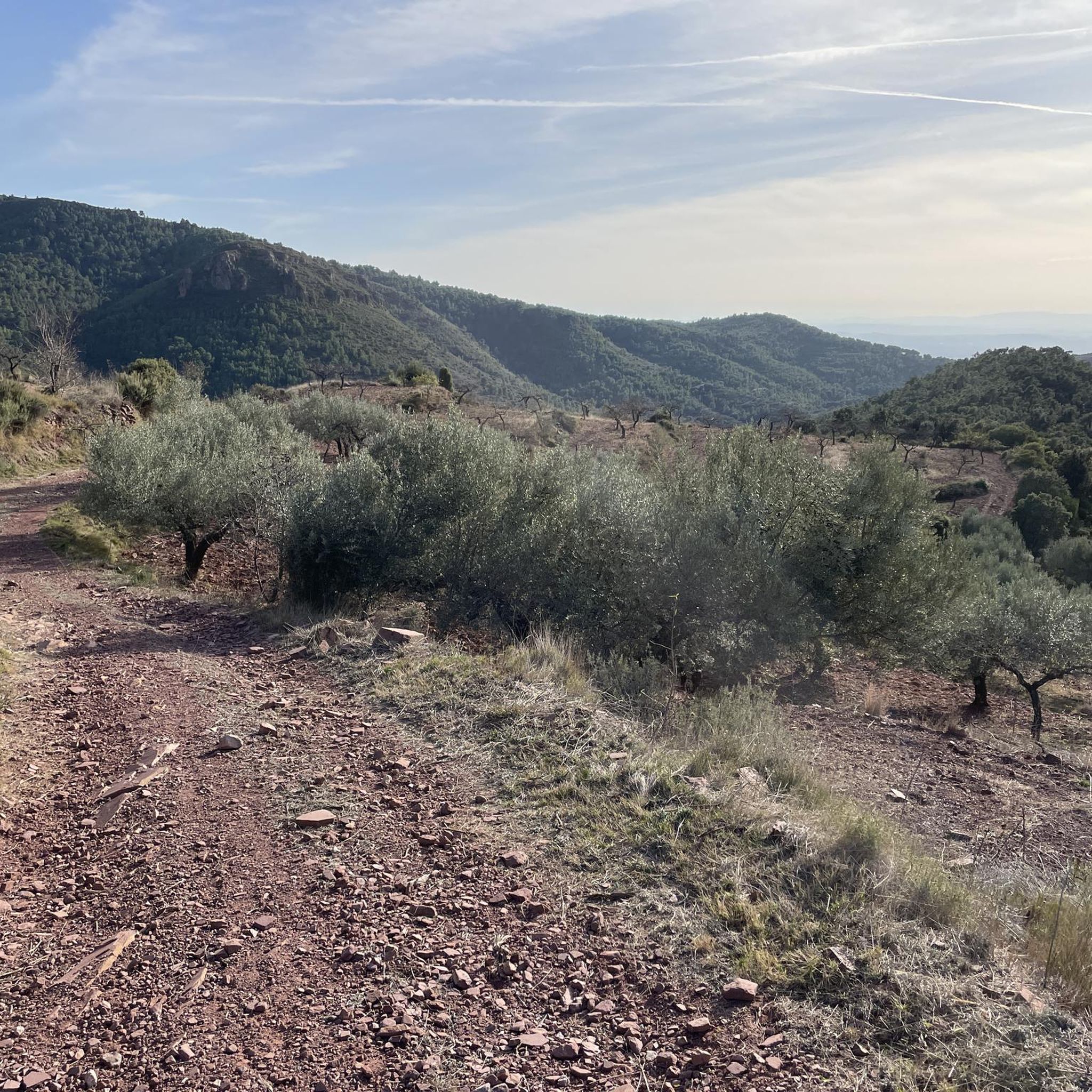
Peak above the town of Gatova. demanding ramps and good views
0
0
Set of houses, they were in ruins but some have now been recovered, a place to pass through or a reference on the routes in the area
0
0
Final stretch to reach Pico del Águila, the slope is significant, although it is concrete, some people will be impressed going down mounted.
0
0


More information about ReviscOlla: https://www.lavanguardia.com/local/valencia/20180926/451319952254/ecoaldea-reviscolla-poblado-morisco-olla-marines-valencia.html
1
0

Although it is not the highest peak of the Serra Calderona, Pico del Águila, located at 878 meters above sea level, is one of the most impressive natural viewpoints in the province of Valencia. Located next to the town of Gátova, Valencia, it is a large peak located in the Serra de la Calderona Natural Park that offers a spectacular view of the entire area.
0
0

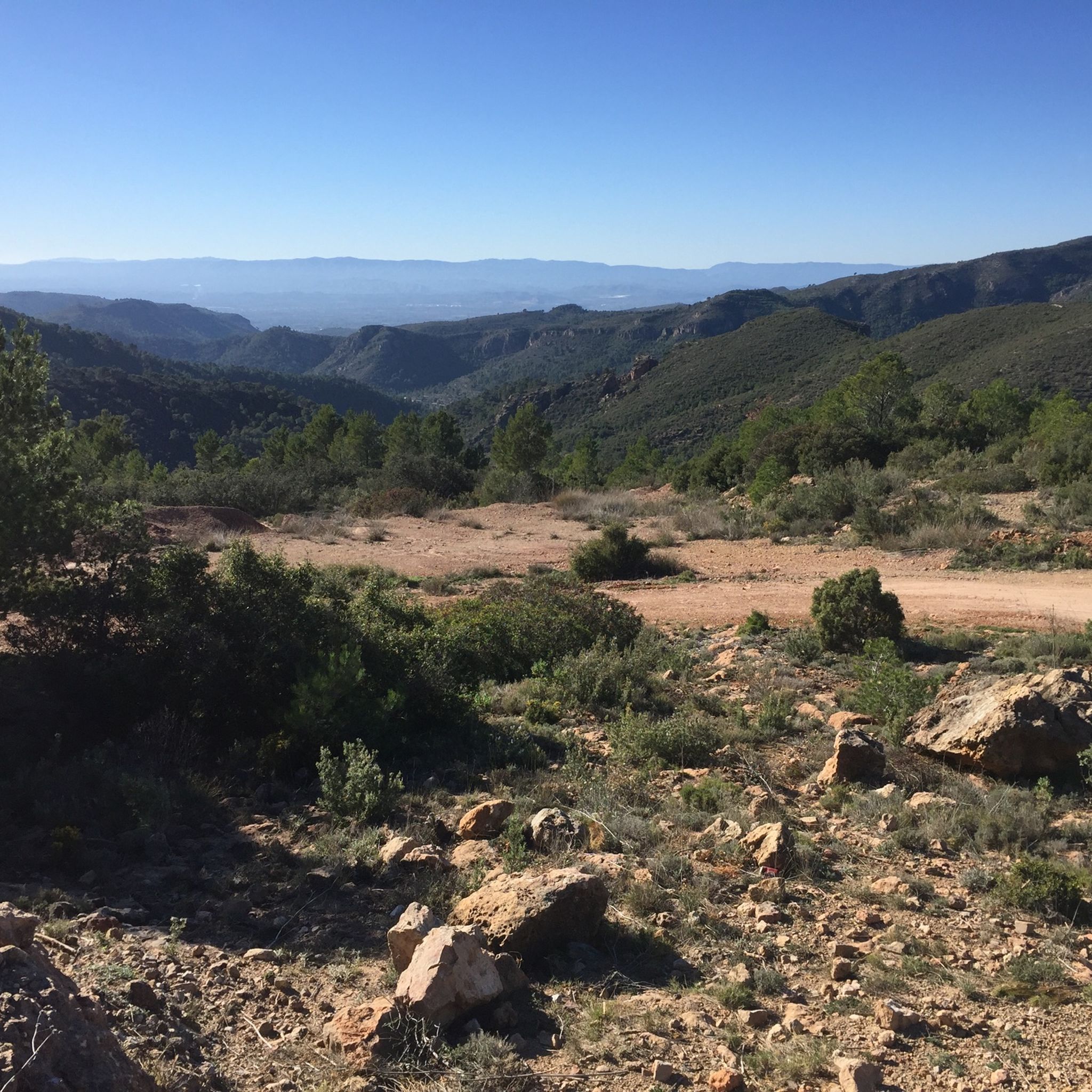
From this point you will find some beautiful distant views of the mountain where the Castillo del Real itself is located at the top. Nice to see!
0
0
Cueva, you have to be careful, from the track you can see the fence, but the crossing is not indicated, but easy to find
0
0
Frequently Asked Questions
How many hiking trails are available around Gátova?
There are 12 hiking trails around Gátova, offering a range of options from easy strolls to more challenging treks through the Sierra Calderona Natural Park.
Are there easy or family-friendly hiking options in Gátova?
Yes, Gátova offers 3 easy hiking routes suitable for families or beginners. A good option is the Irazno Spring – Tormo Spring loop from Gátova, which is 2.6 miles (4.2 km) long and takes about 1 hour 12 minutes, leading through areas with natural springs.
Are there any challenging hikes for experienced trekkers in Gátova?
For experienced hikers, there is one difficult route available. Consider the El Gorgo Summit – Eagle Peak loop from Gátova, a 10.7-mile (17.3 km) trail with significant elevation gain, offering a demanding experience.
What kind of natural attractions can I expect to see on Gátova's trails?
The trails around Gátova feature natural springs, pine forests, and limestone formations characteristic of the Sierra Calderona Natural Park. You can also find highlights like the Fountain of the 15 Spouts and the La Pedralbilla (Barranc de la Viuela) waterfall.
Are there any viewpoints or summits accessible via hiking trails in Gátova?
Yes, several trails lead to panoramic viewpoints. The Molino de La Ceja – El Gorgo Summit loop from Gátova includes a climb to El Gorgo Summit, offering extensive views of the surrounding landscape.
Are the hiking trails in Gátova circular?
Many of the hiking trails around Gátova are circular, allowing you to start and end at the same point. Examples include the El Rebollo Spring – Irazno Spring loop from Gátova and the Eagle Peak loop from Gátova.
What do other hikers enjoy most about hiking in Gátova?
The hiking experience in Gátova is highly rated by the komoot community, with an average score of 4.5 stars from over 850 reviews. Hikers often praise the diverse terrain, the natural springs, and the well-maintained paths within the Sierra Calderona Natural Park.
Is there parking available near the trailheads in Gátova?
Gátova, being a small town, typically offers street parking or designated small parking areas within or at the edge of the village, which serve as convenient starting points for many trails. Specific parking details might vary by trailhead.
Can I hike with my dog on the trails around Gátova?
Generally, dogs are permitted on trails within the Sierra Calderona Natural Park, but it's always recommended to keep them on a leash, especially in protected areas or near wildlife. Always ensure to clean up after your pet.
Are there any trails that pass by historical mills or unique structures?
Yes, some routes incorporate historical elements. The El Molino de Iranzo – Molino de La Ceja loop from Gátova passes by old mills, offering a glimpse into the region's past alongside natural beauty.
What is the best time of year to go hiking in Gátova?
The best time to hike in Gátova is typically during spring (March to May) and autumn (September to November) when temperatures are milder and the natural landscape is vibrant. Summers can be hot, while winters are generally mild but can have cooler temperatures at higher elevations.
Are there any trails that explore the natural springs of the area?
Absolutely. The region is known for its natural springs. The El Molino de Iranzo – Molino de Arriba, Gátova loop from Gátova is an easy route that allows you to explore some of these refreshing water sources.
Most popular routes around Gátova
Most popular attractions around Gátova

Get inspired with the komoot mobile app


Didn’t find what you were looking for?
Check out more Hikes throughout Gátova below and find the perfect route in your destination.
Explore more
Browse the best Hikes in other regions.
