The best walks and hikes around Palancia
4.6
(1081)
6,046
hikers
367
hikes
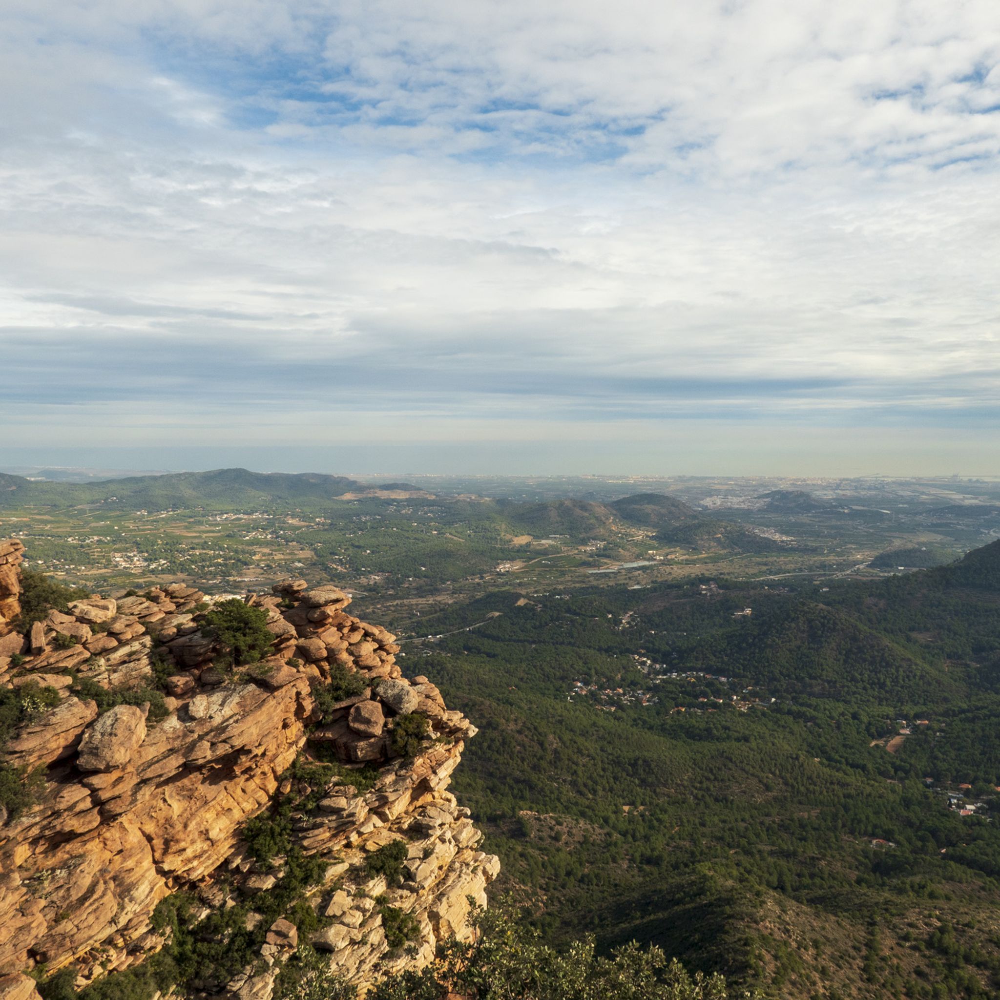
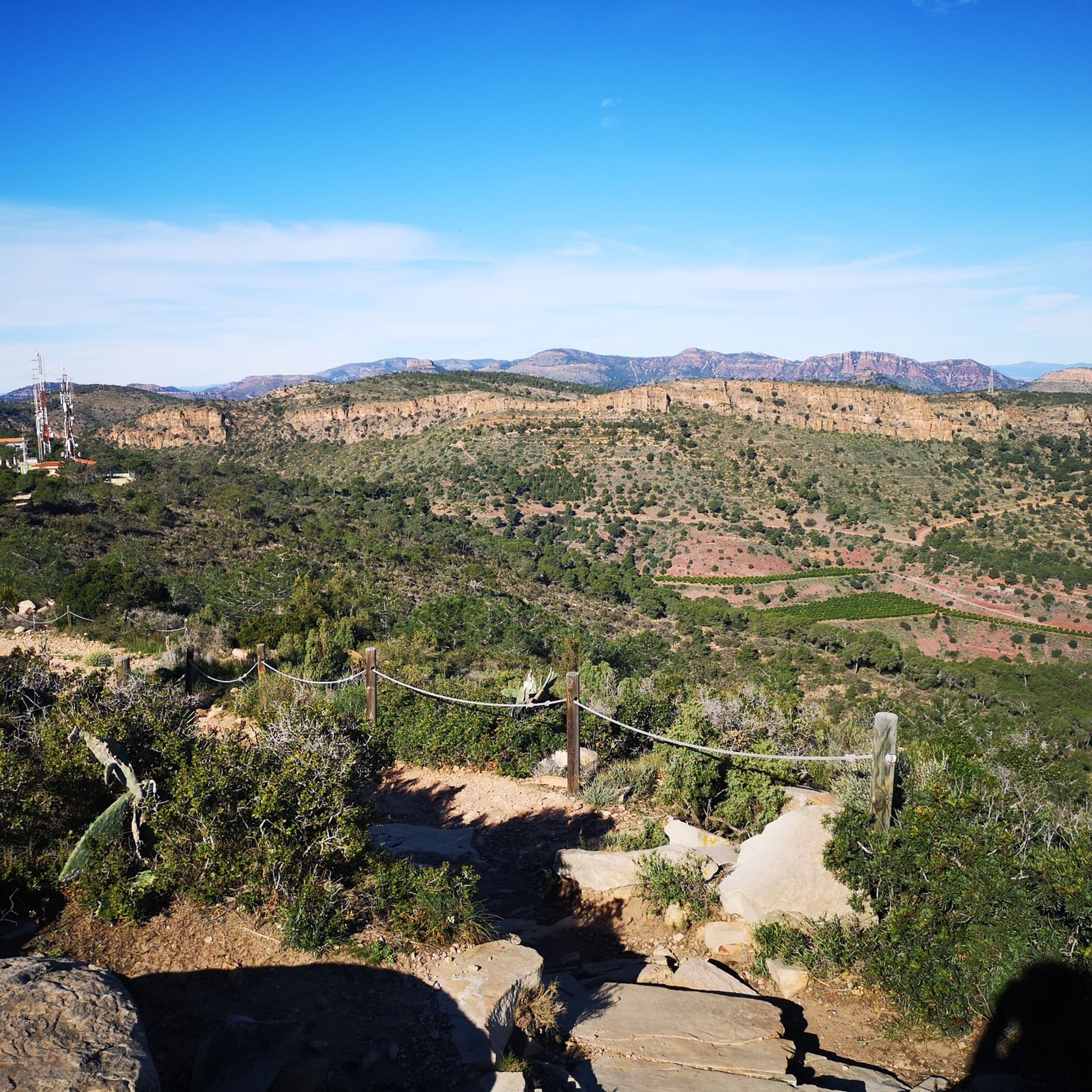
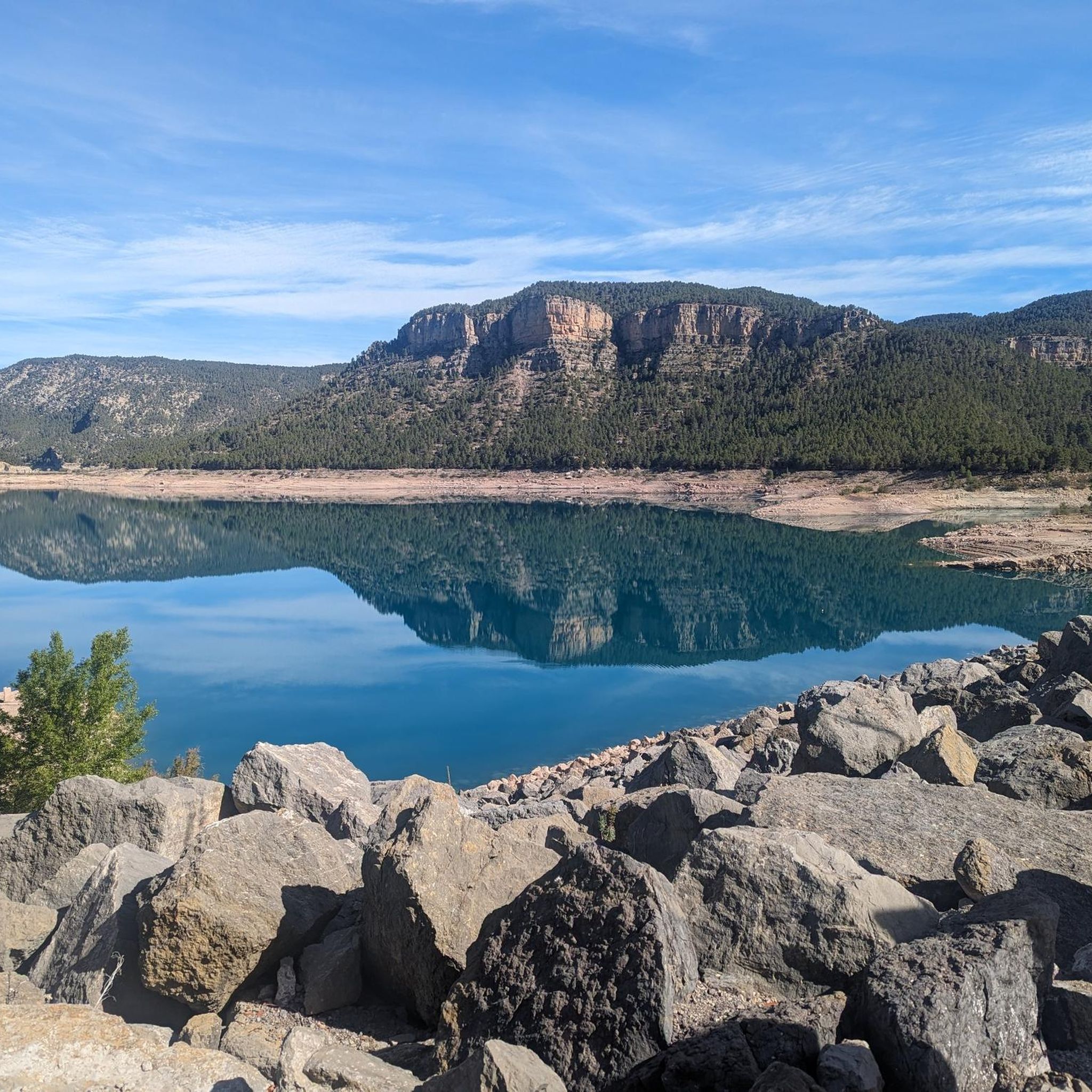
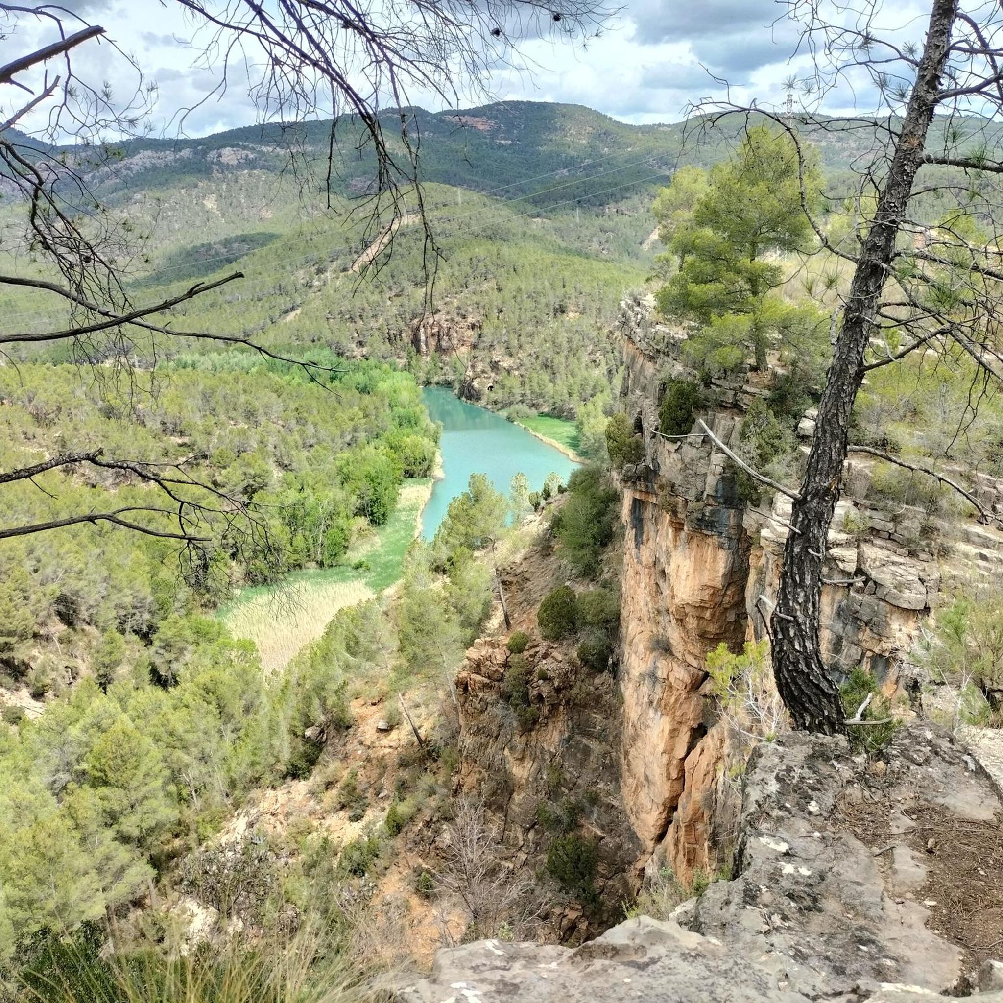
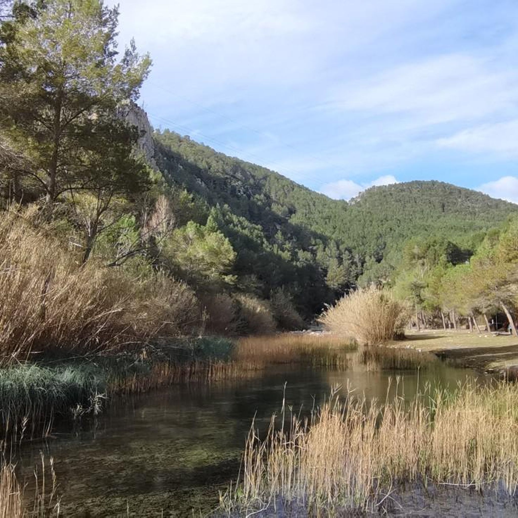
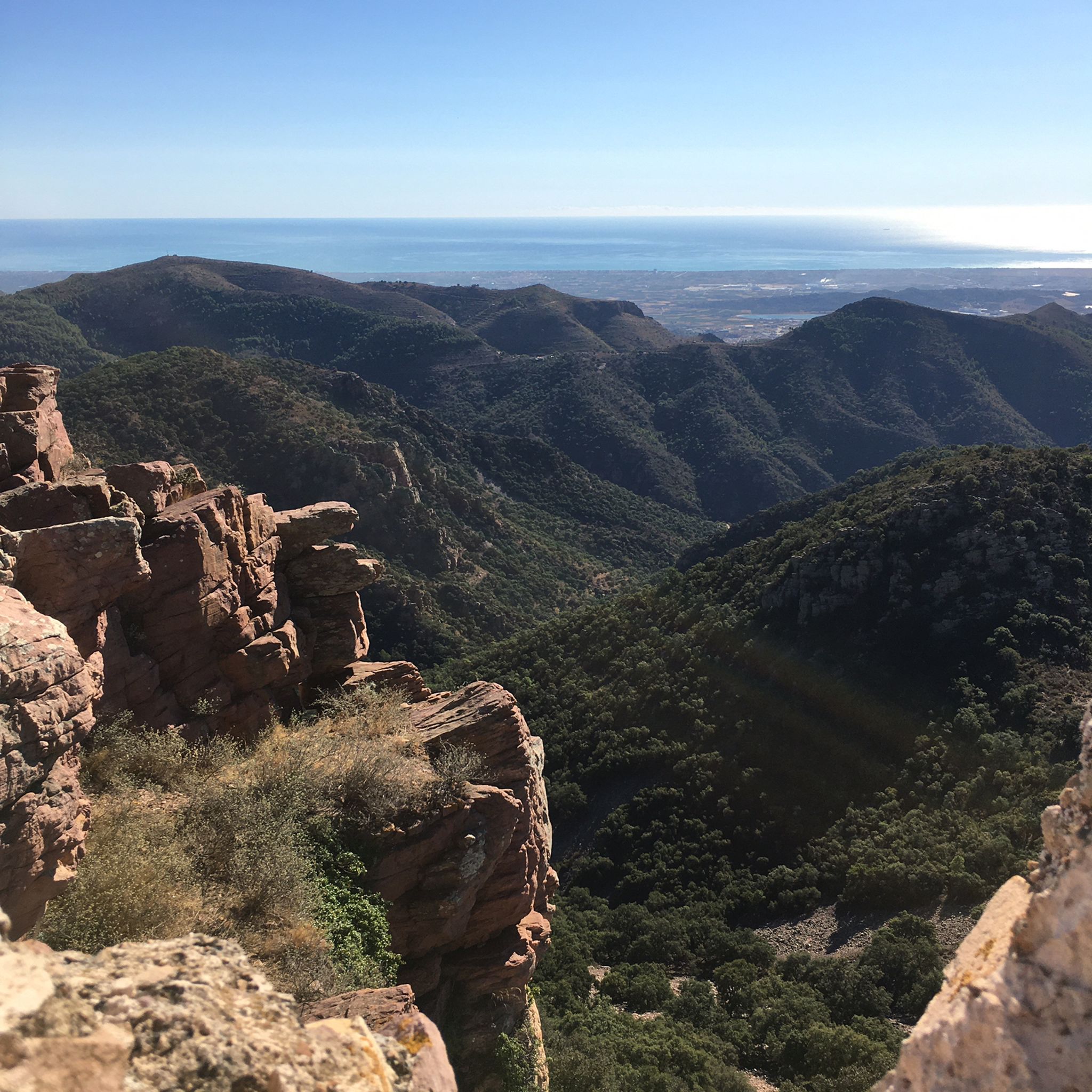
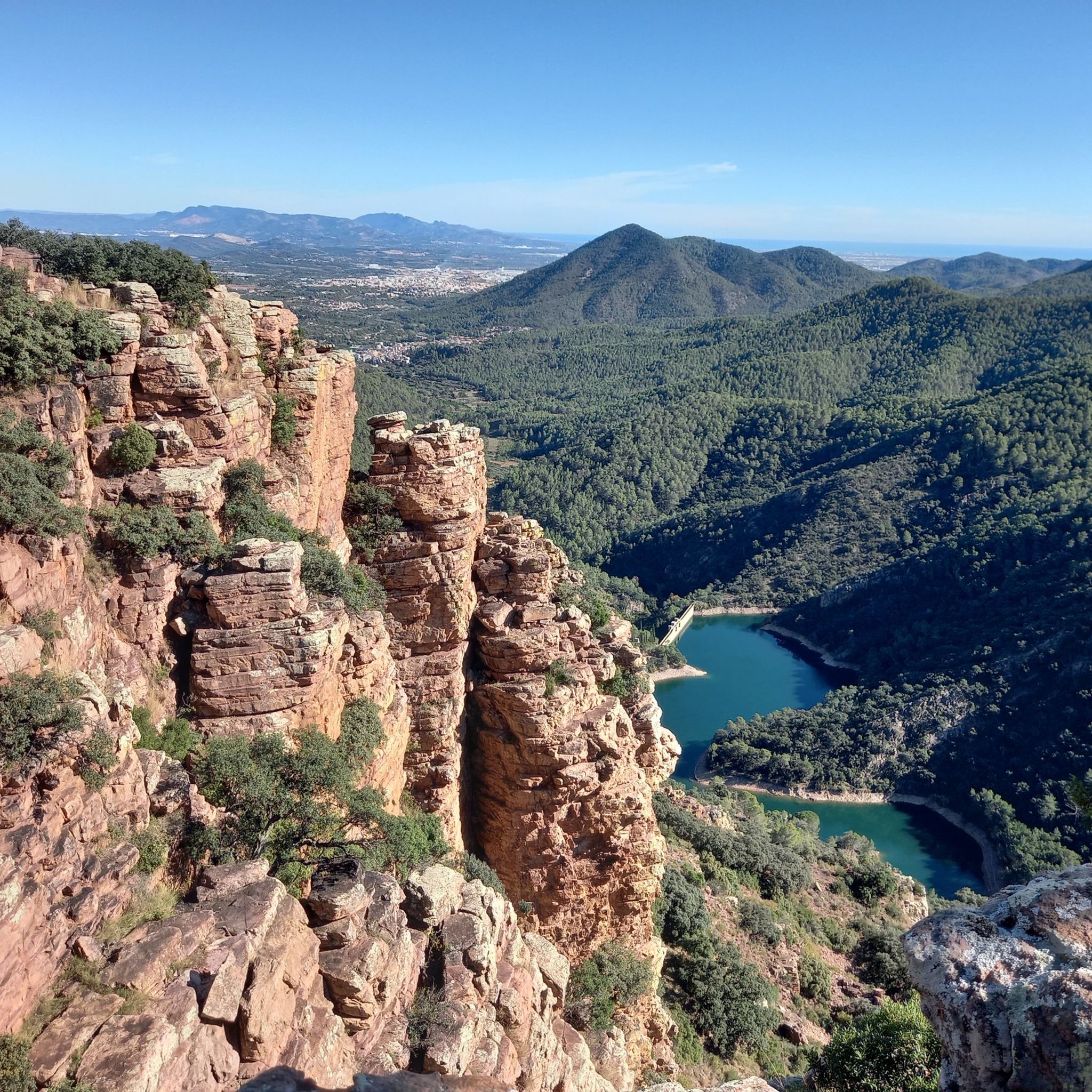
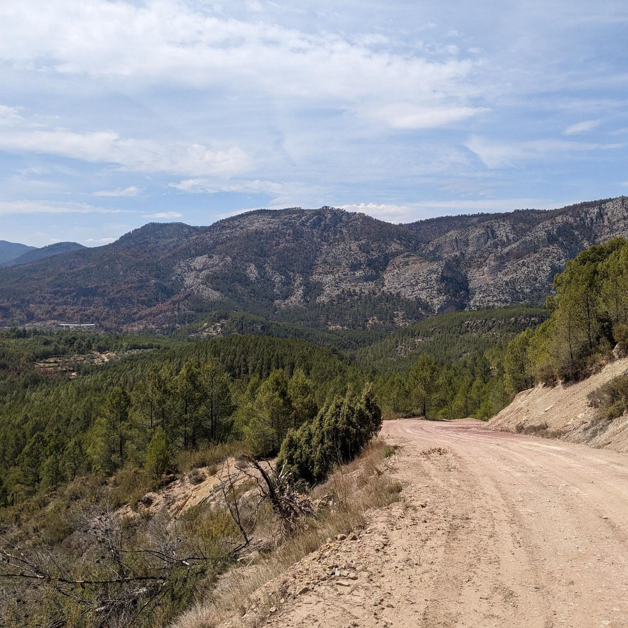
Hiking around Palancia, a region in Castellón, Spain, offers diverse landscapes for outdoor activities. The area is characterized by mountainous terrain, dense forests, and river valleys, providing varied scenery for hikers. Geological formations and natural water features like springs and waterfalls are also prominent throughout the region.
Best hiking trails around Palancia
- The most popular hiking route is Los Estrechos Trail, a 3.1 miles (5.1 km) trail that takes 1 hour 22 minutes to complete. This easy path winds…
Last updated: July 3, 2026
3.8
(36)
141
hikers
5.06km
01:22
70m
70m
Easy hike. Great for any fitness level. Easily-accessible paths. Suitable for all skill levels.
4.7
(28)
114
hikers
7.62km
03:09
500m
500m
Moderate hike. Good fitness required. Mostly accessible paths. Sure-footedness required.

Sign up for free
4.8
(28)
142
hikers
9.28km
03:23
420m
420m
Hard hike. Good fitness required. Sure-footedness, sturdy shoes and alpine experience required.
4.6
(26)
89
hikers
10.2km
02:55
220m
220m
Moderate hike. Good fitness required. Easily-accessible paths. Suitable for all skill levels.
4.5
(11)
67
hikers
4.02km
01:04
40m
40m
Easy hike. Great for any fitness level. Easily-accessible paths. Suitable for all skill levels.
4.0
(4)
45
hikers
Moderate hike. Good fitness required. Mostly accessible paths. Sure-footedness required.
4.6
(26)
69
hikers
6.28km
02:19
370m
370m
Moderate hike. Good fitness required. Mostly accessible paths. Sure-footedness required.
4.7
(6)
24
hikers
12.9km
04:36
550m
550m
Moderate hike. Good fitness required. Mostly accessible paths. Sure-footedness required.
4.5
(10)
37
hikers
11.9km
03:41
400m
410m
Moderate hike. Good fitness required. Mostly accessible paths. Sure-footedness required.
4.6
(7)
49
hikers
11.7km
03:20
250m
250m
Moderate hike. Good fitness required. Easily-accessible paths. Suitable for all skill levels.
Get access to more routes and recommendations from other explorers.
Sign up for free
Already have an account?
Our route recommendations are based on thousands of hikes, rides, and runs completed by other people on komoot.
Start today with a free account
Your next adventure awaits.
Login or Signup
Popular around Palancia
Other adventures around Palancia


Tips from the Community

Such a beautiful hike! During summer times don't forget to get extra water with you, even if hiking close to a river
0
0

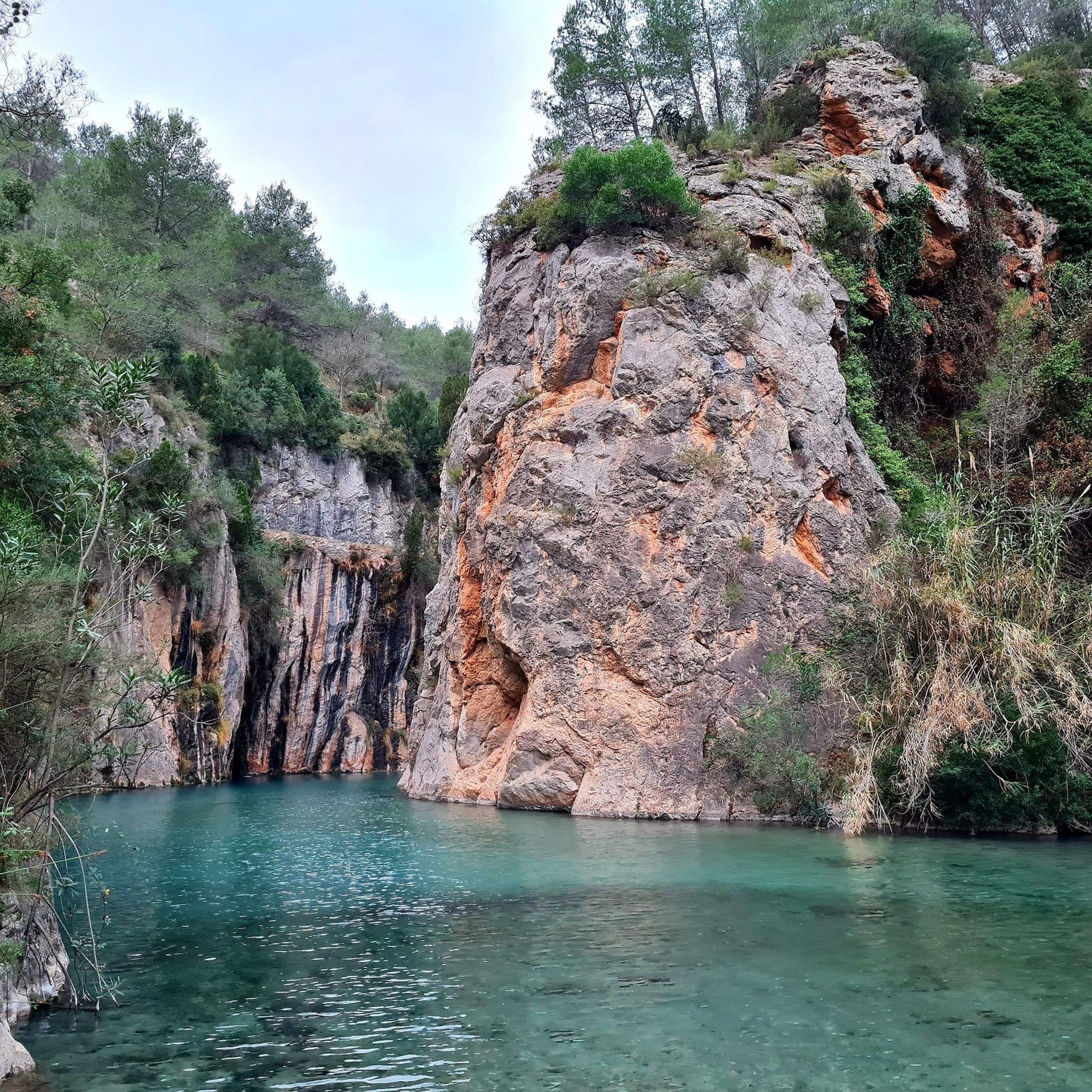
The view from the Mirador de La Copa viewpoint in Montanejos is truly spectacular. From there you can see: The town of Montanejos nestled in the valley, surrounded by mountains covered in pine trees and Mediterranean vegetation. The Mijares River, which meanders along the valley floor, its turquoise waters contrasting with the green of the forest and the gray of the rocks. In the distance, the rock formations of Los Estrechos, one of the most iconic landmarks in the area. On clear days, the light highlights the warm tones of the stone and the intense green of the landscape, creating a very photogenic panorama.
1
0

Beautiful small waterfall, accessible via stairs.
11
0
A place of great beauty where we can admire the spectacular 60-meter-high waterfall, which plunges its waters into a magnificent setting where the whimsical shapes created by erosion in the mountains and riverbed intertwine with the dominant greenery of nature. We can also enjoy the beautiful legend of the place...
11
1

Swimming in this river is a highly recommended and unique experience. During the summer months, there is a fee to enter (unless you stay overnight at a Montanejos accommodation). There is also a charge for parking in the roadside lot. Outside of peak season, both access and parking are free.
0
0
The Salto de la Novia in Cirat is a stunning waterfall located in the Alto Mijares region in the province of Castellón. This place is known for its natural beauty and peaceful surroundings, making it a popular destination for nature and hiking lovers. The waterfall gets its name from a local legend that tells the tragic story of a young couple separated by war. The water from the waterfall comes from the Las Salinas ravine and falls into a natural pool surrounded by lush vegetation. It is a perfect place to enjoy a refreshing swim in the warmer months. To reach the Salto de la Novia, you can follow a hiking route that will take you through spectacular landscapes and allow you to enjoy the tranquility of the surroundings.
3
0
The Cascada del Tío Juan is a beautiful waterfall located in Navajas, in the province of Castellón, Valencian Community. It is a popular destination for hiking, especially in spring and after rainy days, when the water flow is more impressive.
3
0
It is an ornamental monument that represents the 50 Spanish provinces through its 50 spouts, each one with the heraldic shield of a province. The water from the spouts falls into a rectangular and elongated stone basin. The fountain has undergone several changes over the years. Originally it was called Fuente Juan Alves and consisted of a large pool. During the dictatorship of Primo de Rivera, mayor Pedro Moreno added 40 spouts, which were later expanded to 50.
3
0
Frequently Asked Questions
How many hiking trails are there in Palancia?
Palancia offers a wide variety of hiking experiences, with over 370 routes available. These range from easy strolls to more challenging ascents, ensuring options for all ability levels.
What kind of terrain can I expect on hikes in Palancia?
The region is characterized by diverse landscapes, including mountainous terrain, dense forests, and river valleys. You'll encounter impressive peaks, deep ravines, and lush woodlands, with geological formations and natural water features also prominent.
Are there any easy or beginner-friendly hikes in Palancia?
Yes, Palancia has over 80 easy hiking routes. A great option for beginners is Los Estrechos Trail, an easy 3.1-mile path winding through a scenic river gorge. Another accessible choice is Navajas — Circular to Salto de la Novia and Cascada del Tío Juan, which is just over 2.5 miles long.
Can I find circular hiking routes in Palancia?
Absolutely. Many trails in Palancia are circular, allowing you to start and end at the same point. Popular circular options include Órganos de Benitandús Loop from Sueras, which features distinctive rock formations, and The Bojera Path (SL-CV 105) — Circular to the Cova Negra, which leads through varied forest and open terrain.
Are there hiking trails suitable for families with children in Palancia?
Yes, the region offers several family-friendly routes. The area around the Pisuerga River, for instance, is ideal for family hikes. Easy trails like Los Estrechos Trail are generally suitable for families looking for a pleasant outdoor experience.
Are dogs allowed on hiking trails in Palancia?
Many trails in Palancia are dog-friendly, but it's always recommended to check specific trail regulations or local signage, especially within natural parks or protected areas. Generally, dogs on a leash are welcome on most public hiking paths.
What natural attractions, like waterfalls or unique geological formations, can I see while hiking?
Palancia is rich in natural wonders. You can explore the impressive Bride's Leap Waterfall, or discover the unique geological formations along routes like Órganos de Benitandús Loop from Sueras. The region also features ancient fossil forest trails and diverse forests like oak, gall oak, and beech.
Are there any historical sites or cultural landmarks to explore near the trails?
Yes, many routes allow hikers to immerse themselves in local heritage. You can visit the Historic center of Jérica, explore the town of Segorbe, or discover ancient structures like Star Castle. The Castro Castle and Nevera de Castro Loop is a great option to combine hiking with historical exploration.
What is the best time of year to go hiking in Palancia?
The best time to hike in Palancia largely depends on the specific area and desired experience. Spring and autumn generally offer pleasant temperatures and vibrant scenery. While the mountainous areas can be snow-capped in winter, they transform into lush green landscapes in spring, offering varied scenery throughout the year.
What do other hikers enjoy the most about hiking in Palancia?
The komoot community highly rates the hiking experience in Palancia, with an average score of 4.6 stars from over 900 reviews. Hikers often praise the region's diverse landscapes, from scenic river gorges to distinctive rock formations, and the variety of trails suitable for different ability levels.
Are there opportunities for wild swimming along the hiking routes?
Yes, Palancia offers spots for wild swimming. The natural pools of Charcos de Quesa are popular, and the Fuente de los Baños - Montanejos Lake is another well-known location for refreshing dips, often accessible via nearby hiking trails.
Are there any long-distance hiking routes that pass through Palancia?
Yes, the region is part of significant long-distance routes. The Camino del Cid, a cultural-historical long-distance hiking route, passes through areas like Algar de Palancia, following the traces of El Cid Campeador.
Most popular routes around Palancia
Most popular attractions around Palancia

Get inspired with the komoot mobile app


Didn’t find what you were looking for?
Check out more Hikes throughout Palancia below and find the perfect route in your destination.
Explore more
Browse the best Hikes in other regions.
