The best walks and hikes around Peñagolosa
4.6
(781)
5,050
hikers
77
hikes
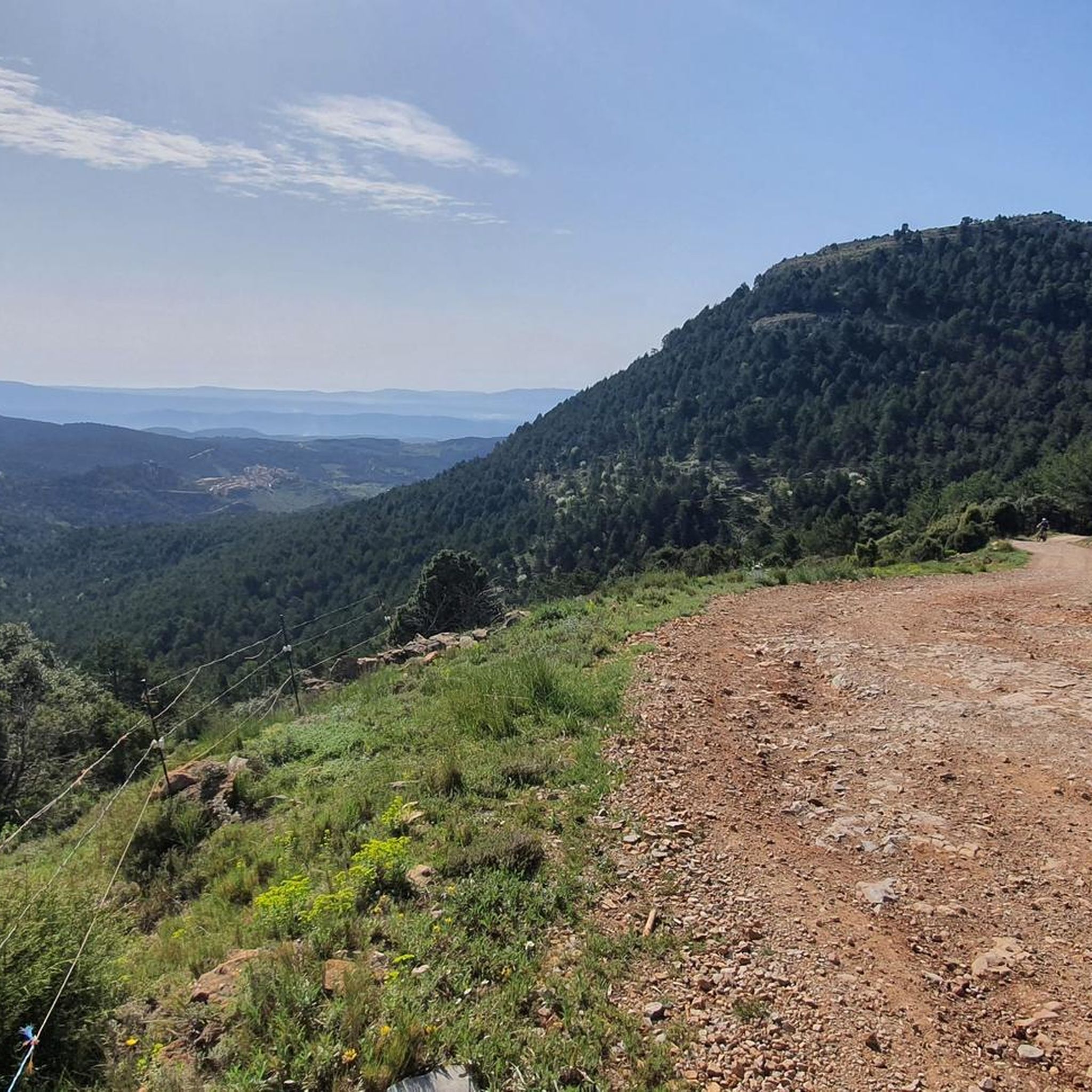
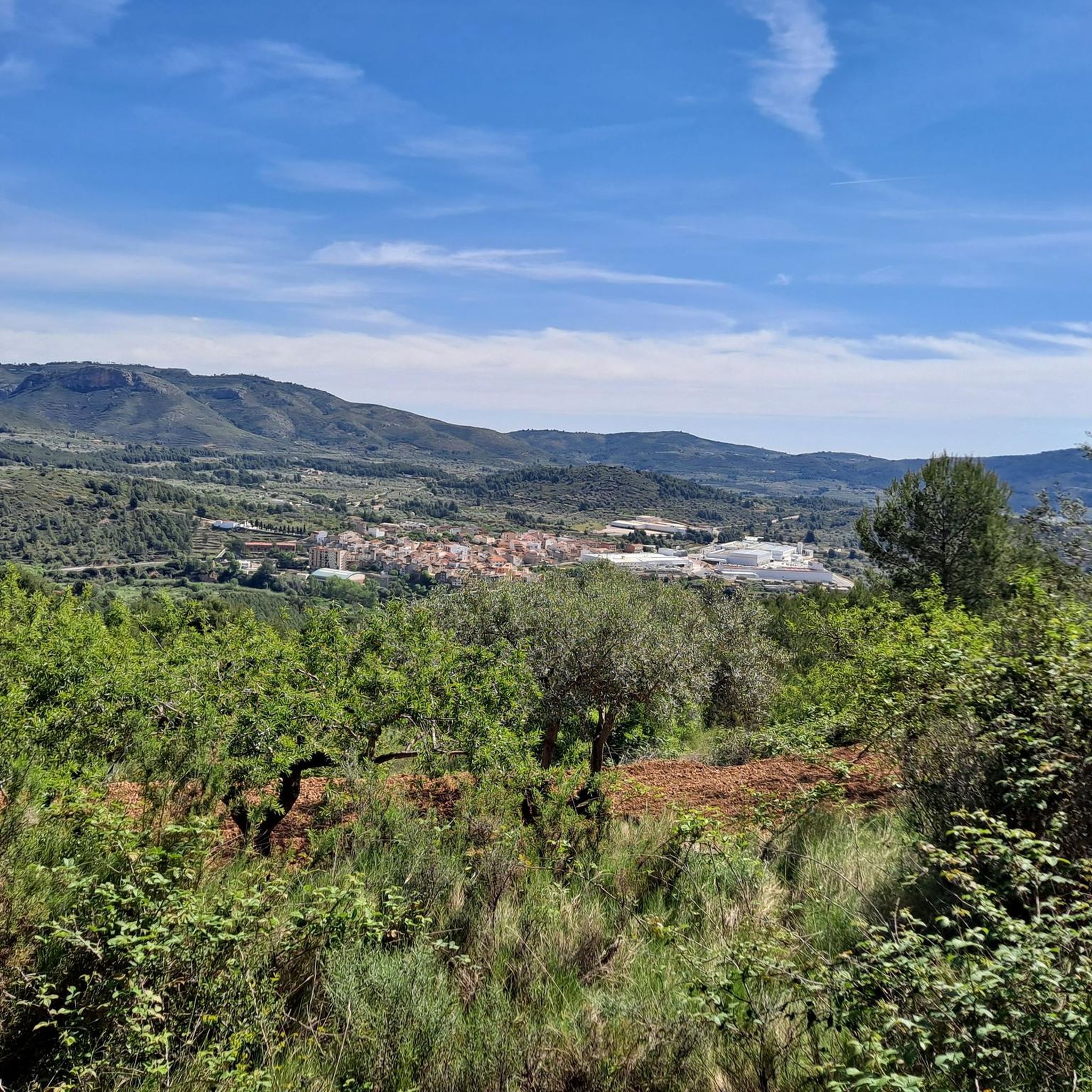
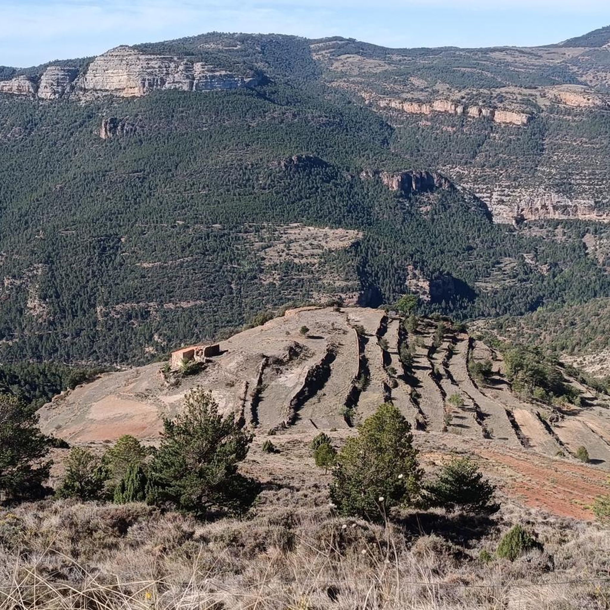
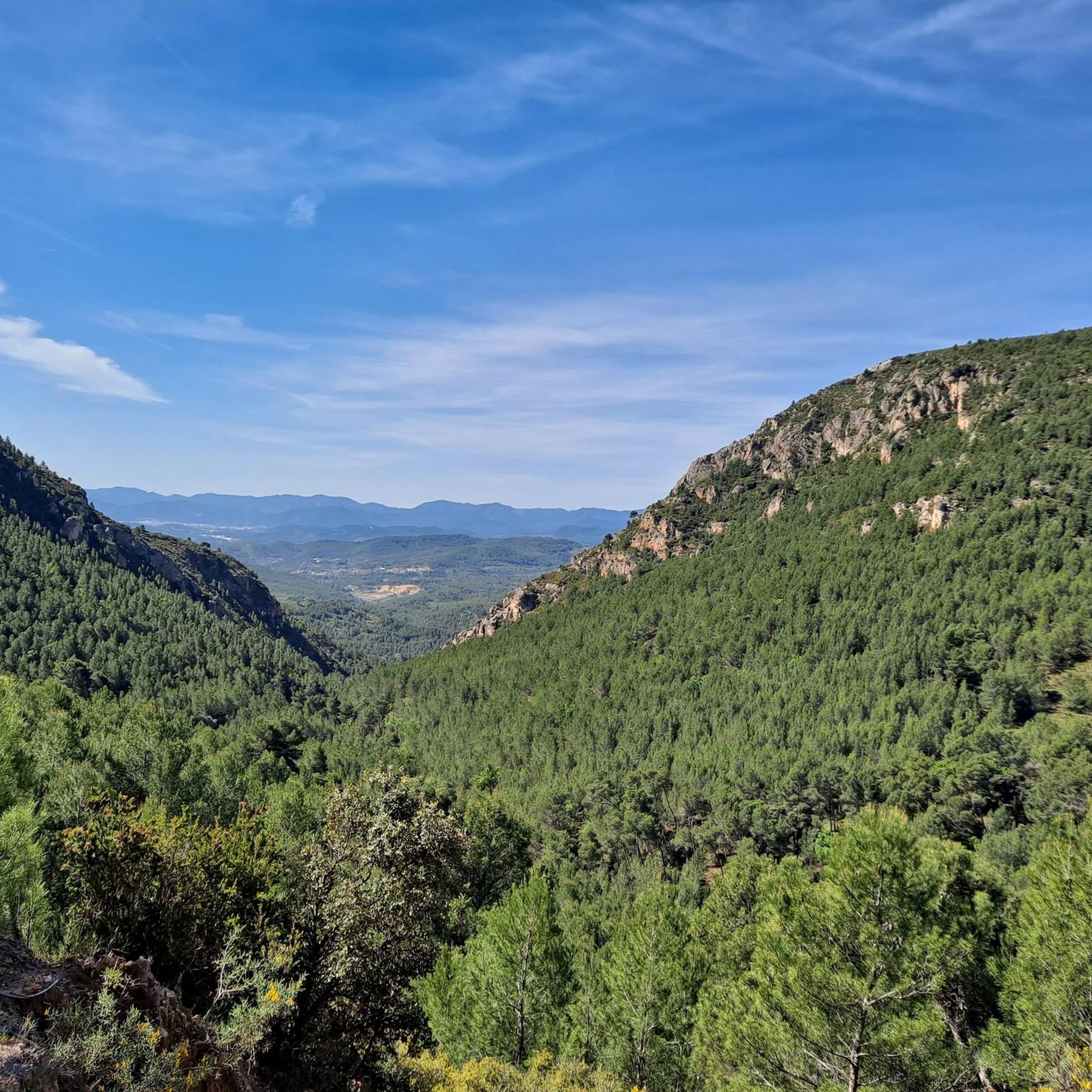
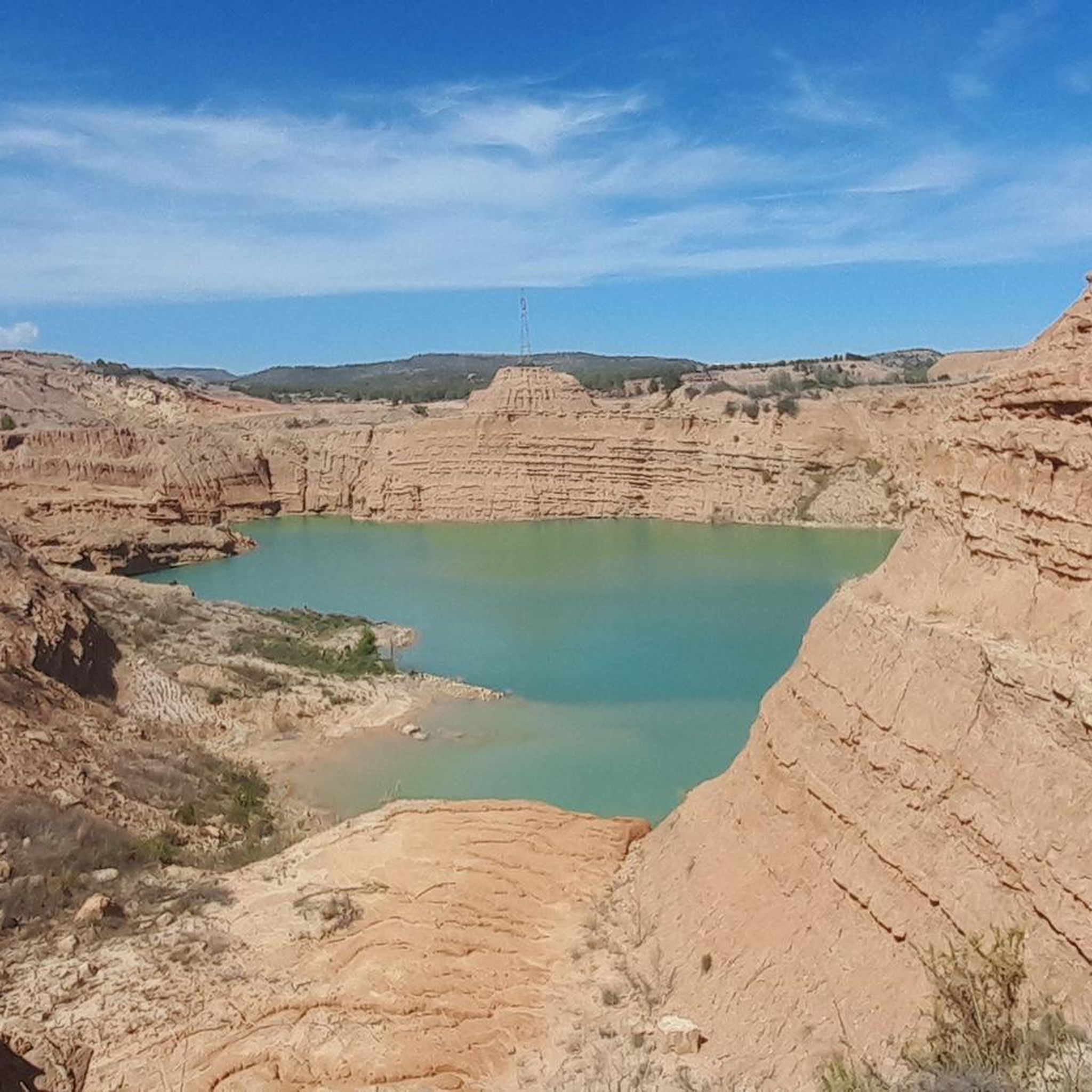
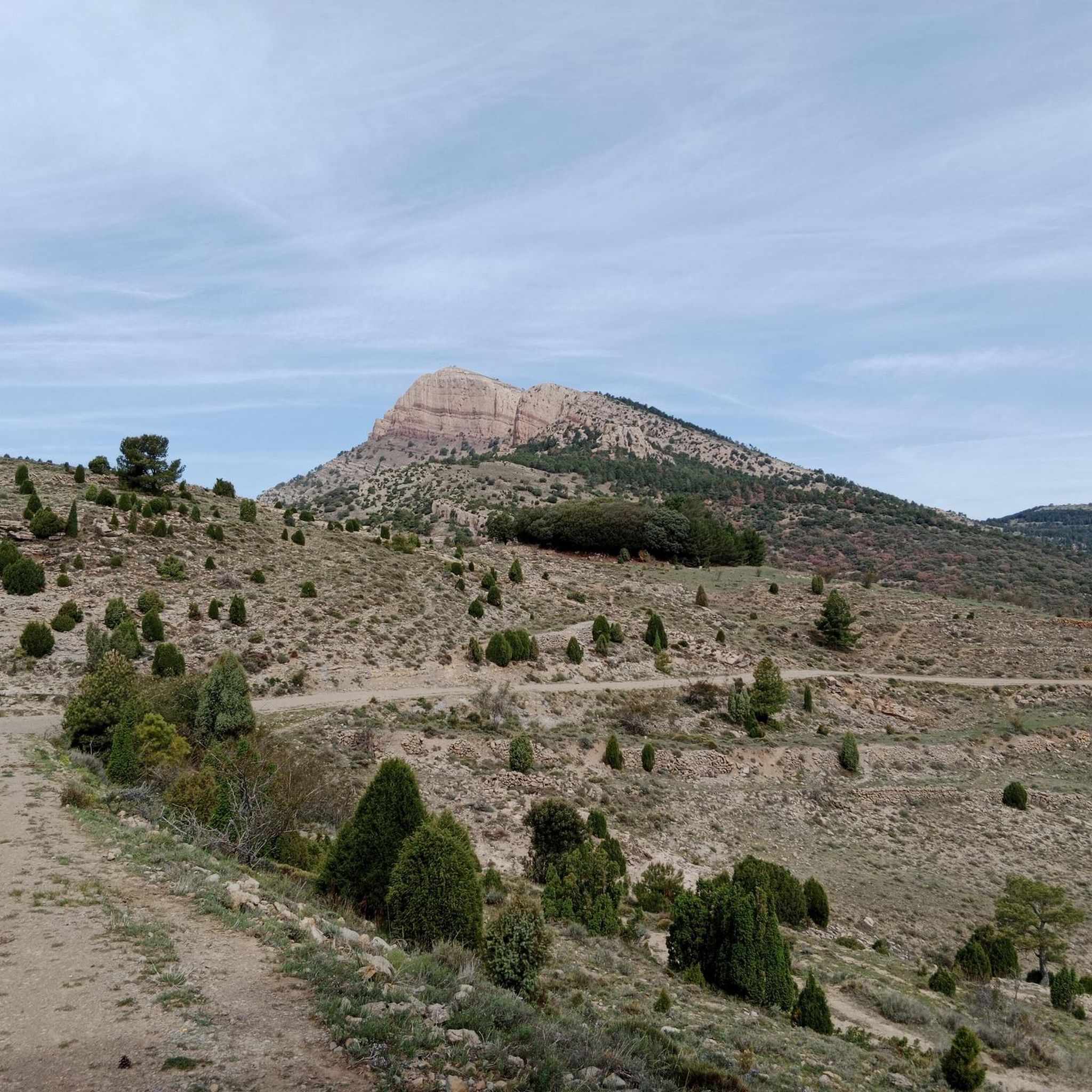
Hiking around Peñagolosa, a natural park in Castellón province, offers diverse landscapes characterized by extensive woodlands, rocky outcrops, and deep ravines. The region features significant geological formations, including karst features and impressive cliffs. Its highest peak, Penyagolosa, stands at 1,813 meters, providing panoramic views across the province. The area serves as a transition zone between Mediterranean and continental climates, contributing to its rich biodiversity.
Best hiking trails around Peñagolosa
- The most popular hiking route is Mas de la Noguereta Trail, a 4.2 miles (6.7 km) trail that takes 1 hour 51 minutes to complete. This easy route offers gentle gradients through natural surroundings.
- Another top favourite among local hikers is Parque Natural de Penyagolosa — Circular to the "roof of the Valencian Community", a difficult 8.0 miles (12.9 km) path. This challenging trail ascends to the park's highest peak, offering panoramic views.
- Local hikers also love the l'Alcora Heritage Trail, an 8.8 miles (14.2 km) trail leading through varied terrain, often completed in about 4 hours 6 minutes.
- Hiking around Peñagolosa is defined by extensive woodlands, rocky outcrops, and deep ravines, with options for different ability levels.
- The routes in Peñagolosa are highly rated by the komoot community with an average score of 4.5 stars from over 290 reviews. More than 2000 hikers have used komoot to explore Peñagolosa's varied terrain.
Last updated: May 10, 2026
4.7
(10)
19
hikers
6.72km
01:51
110m
110m
Easy hike. Great for any fitness level. Easily-accessible paths. Suitable for all skill levels.
7
hikers
Hard hike. Very good fitness required. Sure-footedness, sturdy shoes and alpine experience required.

Sign up for free
4.0
(1)
1
hikers
14.2km
04:06
350m
350m
Moderate hike. Good fitness required. Mostly accessible paths. Sure-footedness required.
4.7
(17)
256
hikers
14.9km
05:43
650m
650m
Hard hike. Very good fitness required. Mostly accessible paths. Sure-footedness required.
4.9
(8)
108
hikers
10.2km
03:04
320m
320m
Moderate hike. Good fitness required. Easily-accessible paths. Suitable for all skill levels.
4.7
(12)
79
hikers
13.7km
03:58
330m
330m
Moderate hike. Good fitness required. Easily-accessible paths. Suitable for all skill levels.
29
hikers
19.0km
06:43
830m
830m
Hard hike. Very good fitness required. Mostly accessible paths. Sure-footedness required.
5.0
(4)
22
hikers
Moderate hike. Good fitness required. Easily-accessible paths. Suitable for all skill levels.
5.0
(2)
13
hikers
Hard hike. Good fitness required. Sure-footedness, sturdy shoes and alpine experience required.
5.0
(1)
18
hikers
24.8km
09:22
1,210m
1,210m
Hard hike. Very good fitness required. Sure-footedness, sturdy shoes and alpine experience required.
Get access to more routes and recommendations from other explorers.
Sign up for free
Already have an account?
Our route recommendations are based on thousands of hikes, rides, and runs completed by other people on komoot.
Start today with a free account
Your next adventure awaits.
Login or Signup
Popular around Peñagolosa


Tips from the Community

Islamic origins between the 10th and 12th centuries. After the Christian conquest by James I in 1233, the king granted the castle and the title of baron to the knight Ximén d'Urrea. It was a key military fortress for controlling the Tinença d’Alcalatén, and underwent renovations in the 15th and 16th centuries under Christian rule. It was declared a Site of Cultural Interest on May 30, 2000 (code RI-51-0010535).
1
0
Here is detailed information about Alcalatén Castle (also called Castle of l’Alcalatén or Castle of San Salvador), located in L’Alcora (Castellón): It is located on the slope of Mount San Cristóbal (or San Salvador), about 3km north of L’Alcora, accessible by the CV-190 road towards Lucena del Cid, at an elevation of about 370m above sea level, overlooking the valley and the river of l’Alcora.
1
0

It is very soft but beautiful
0
0
The route to Pozo Negro begins in Ludiente and follows the Santa Ana ravine. It is a simple and pleasant route, although it can be dangerous during the rainy season because you walk along the ravine bed. Along the way, you will find small pools and waterfalls that make the journey a very pleasant experience.
3
0
The Pozo Negro in Torrechiva is a beautiful natural pool of cold, clear water, located in the Alto Mijares region, in the province of Castellón. This pool gets its name from its dark and mysterious bottom, and is an ideal place to enjoy a refreshing swim in the middle of nature.
3
0
The tour begins at the hermitage of San Antonio and follows a path that passes over a small wooden bridge and a waterfall. The cave is protected to preserve its vegetation and the geological formations that have taken millions of years to form.
3
0
The Cueva de La Tosca is located near Villahermosa del Río, in the province of Castellón. It is a natural cave formed by water erosion, where you can see impressive limestone formations such as stalagmites and stalactites. The route to the cave is ideal for families, as it is not very complicated and offers spectacular views of the natural environment.
3
0
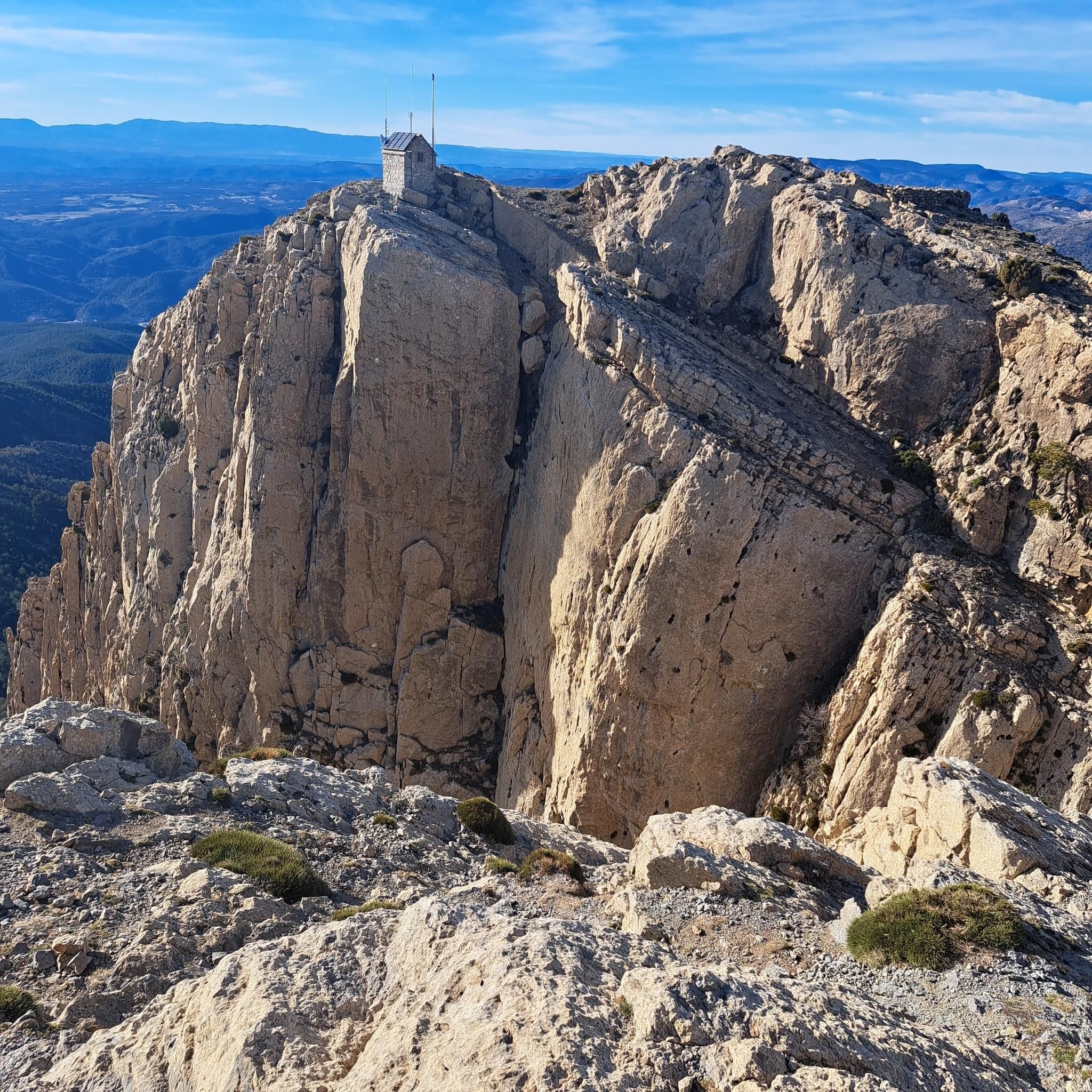
Penyagolosa is known for its stunning panoramic views and is a popular destination for hiking enthusiasts. The route to the summit will take you through pine forests and rocky terrain, offering a unique experience in contact with nature. In addition, at the base of the mountain is the hermitage of Sant Joan de Penyagolosa, an important pilgrimage destination.
3
0
Frequently Asked Questions
How many hiking trails are available in Peñagolosa?
Peñagolosa offers a wide variety of hiking experiences, with over 75 routes available. These range from easy strolls to challenging ascents, catering to different skill levels and preferences.
What kind of terrain can I expect on hikes in Peñagolosa?
The terrain in Peñagolosa is remarkably diverse. You'll encounter extensive woodlands, rocky outcrops, and deep ravines. Higher altitudes feature black pine forests and Pyrenean oak, while lower areas have Aleppo pines. Some trails involve significant uphill sections and steep ramps, with advanced routes potentially requiring sure-footedness and sturdy shoes.
Are there any notable natural landmarks or viewpoints to discover in Peñagolosa?
Absolutely. The most prominent natural landmark is the Penyagolosa Summit itself, often called the 'roof of the Valencian Community,' offering panoramic views across multiple provinces on clear days. The park also features unique geological formations like the Poljé de Vistabella and the Cañón del río Monleón.
Can I find any waterfalls or natural pools on the hiking trails?
Yes, Peñagolosa offers routes that lead to beautiful water features. For instance, the Pozo Negro Natural Pool – Carbo Waterfall loop from Villahermosa del Río is a moderate trail that takes you to a natural pool and a waterfall. Another option is the Molí del Ros – El Salt Waterfall loop from Llucena.
Are there family-friendly hiking options in Peñagolosa?
Yes, there are several easy routes suitable for families. About 15 of the trails are graded as easy, offering gentle gradients through natural surroundings. A great option is the Mas de la Noguereta Trail, which is 4.2 miles (6.7 km) long and takes less than two hours to complete.
What is the best time of year to go hiking in Peñagolosa?
Peñagolosa's location between Mediterranean and continental climates means it offers varied conditions. Spring and autumn generally provide the most pleasant hiking weather with mild temperatures and vibrant scenery. Summers can be warm, especially at lower altitudes, while winters can bring snow to the higher peaks, offering a different kind of challenge for experienced hikers.
Are there any cultural or historical sites to visit while hiking?
Yes, a significant cultural and historical attraction within the park is the Santuario de Sant Joan de Penyagolosa. This ancient place of worship is a major pilgrimage destination and often serves as a starting point for many hiking routes, blending natural beauty with rich heritage.
What do other hikers enjoy most about hiking in Peñagolosa?
The area is highly rated by the komoot community, with an average score of 4.5 stars from over 290 reviews. Hikers often praise the diverse landscapes, from lush pine forests to dramatic rocky outcrops, and the rewarding panoramic views from the summit. The variety of routes, catering to all difficulty levels, is also frequently highlighted.
Are there any challenging hikes for experienced trekkers?
Certainly. Peñagolosa is known for its challenging routes, especially those ascending to the summit. For example, the Parque Natural de Penyagolosa — Circular to the "roof of the Valencian Community" is an 8.0-mile (12.9 km) difficult path with significant elevation gain. Another demanding option is the Xodos – Penyagolosa Summit loop from Xodos, which is nearly 19 km long.
Can I find circular hiking routes in Peñagolosa?
Yes, many of the trails in Peñagolosa are circular, allowing you to start and end at the same point without retracing your steps. An example of a challenging circular route is the Penyagolosa Summit – Barranc de la Pegunta loop from Pla de la Creu, which offers a comprehensive experience of the park's diverse landscapes.
What kind of wildlife might I encounter in Peñagolosa?
Peñagolosa's rich biodiversity supports a wide array of wildlife. Birdwatchers can spot golden eagles, Bonelli's eagles, and various vultures, as well as forest birds like woodpeckers. Mammals include Iberian ibex, wildcats, and roe deer. The area is also home to diverse reptiles, amphibians, and numerous species of butterflies.
Is there parking available at the trailheads?
While specific parking details vary by trailhead, the Peñagolosa Natural Park generally provides designated parking areas, especially near popular starting points like the Santuario de Sant Joan de Penyagolosa or villages such as Vistabella del Maestrazgo. It's advisable to check specific route information for the most convenient parking options.
Most popular routes around Peñagolosa
Most popular attractions around Peñagolosa

Get inspired with the komoot mobile app


Didn’t find what you were looking for?
Check out more Hikes throughout Peñagolosa below and find the perfect route in your destination.
Explore more
Browse the best Hikes in other regions.
