The best walks and hikes around Urola Costa
4.5
(4067)
33,008
hikers
223
hikes
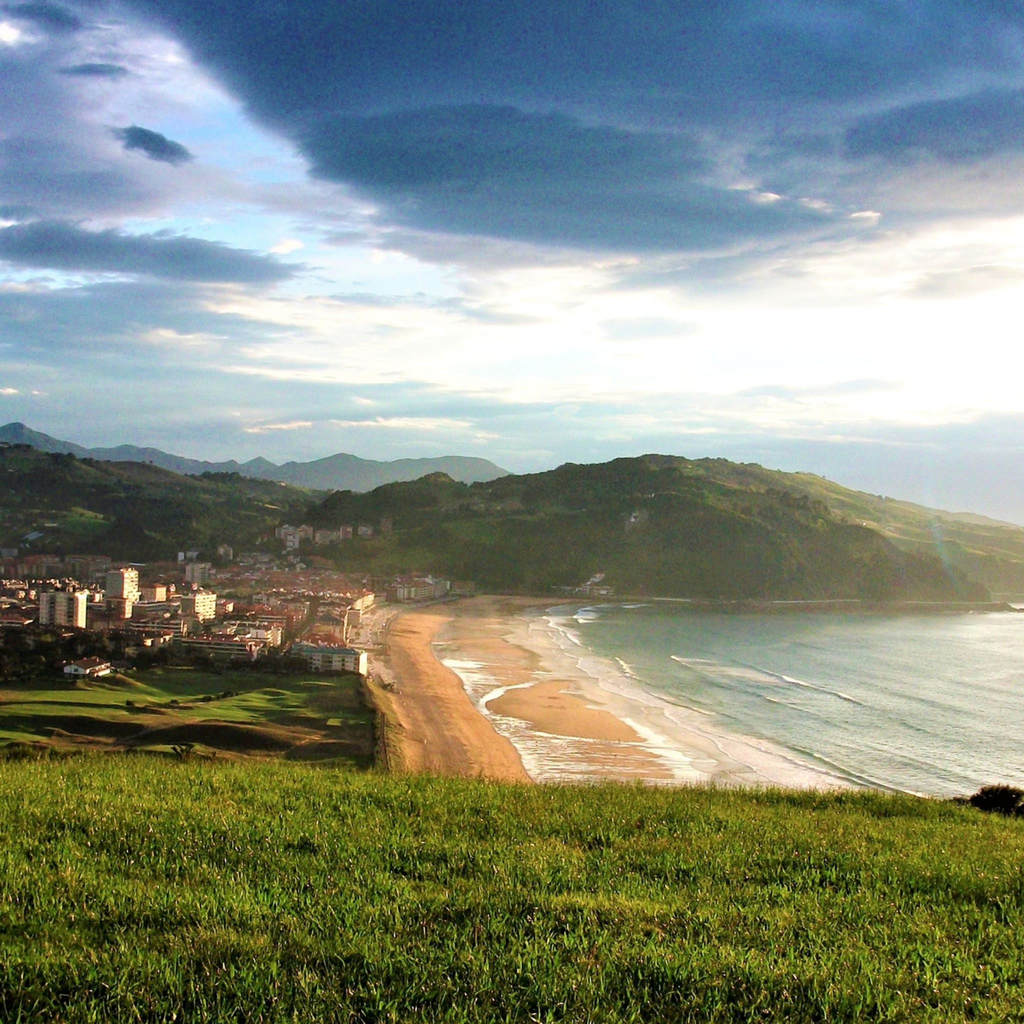
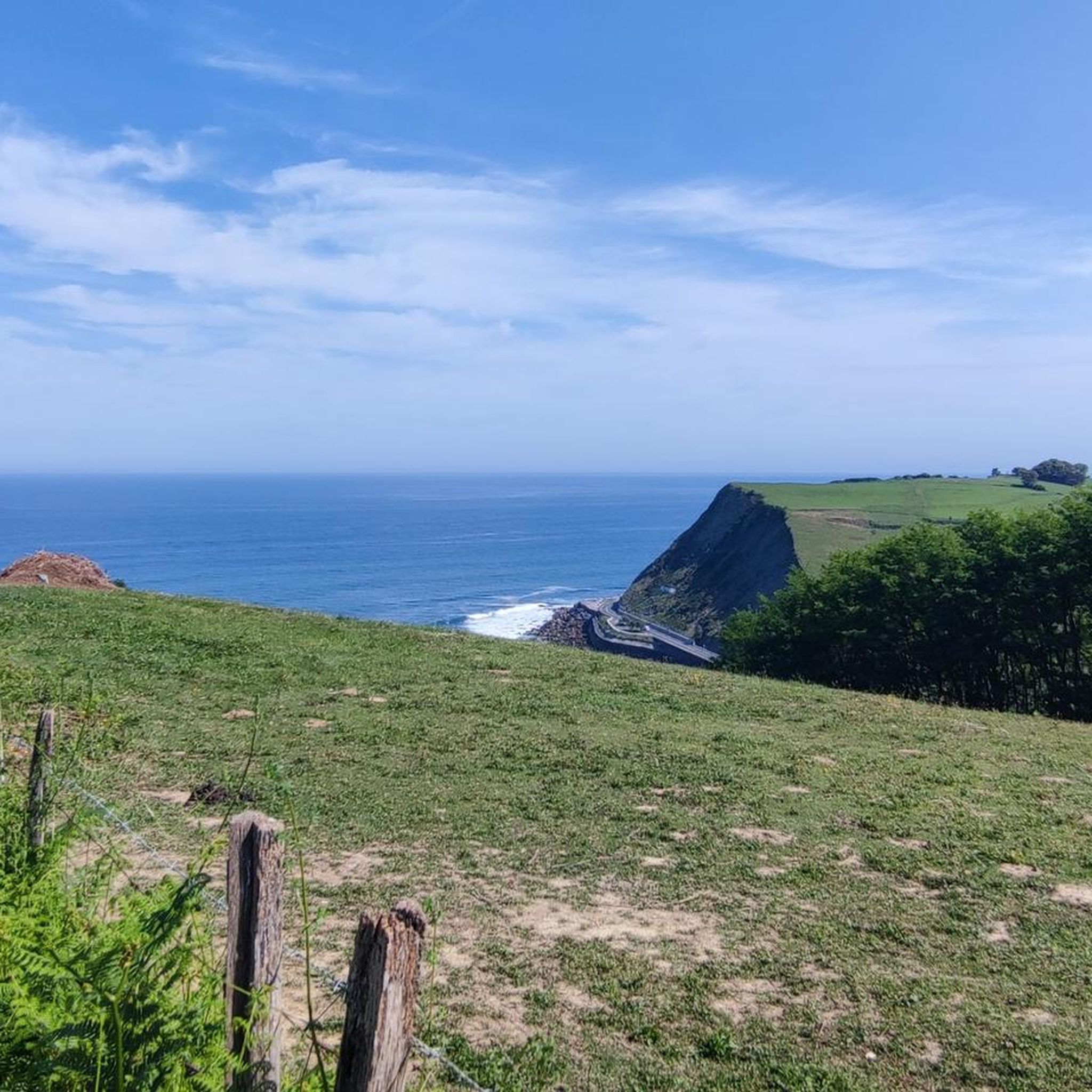
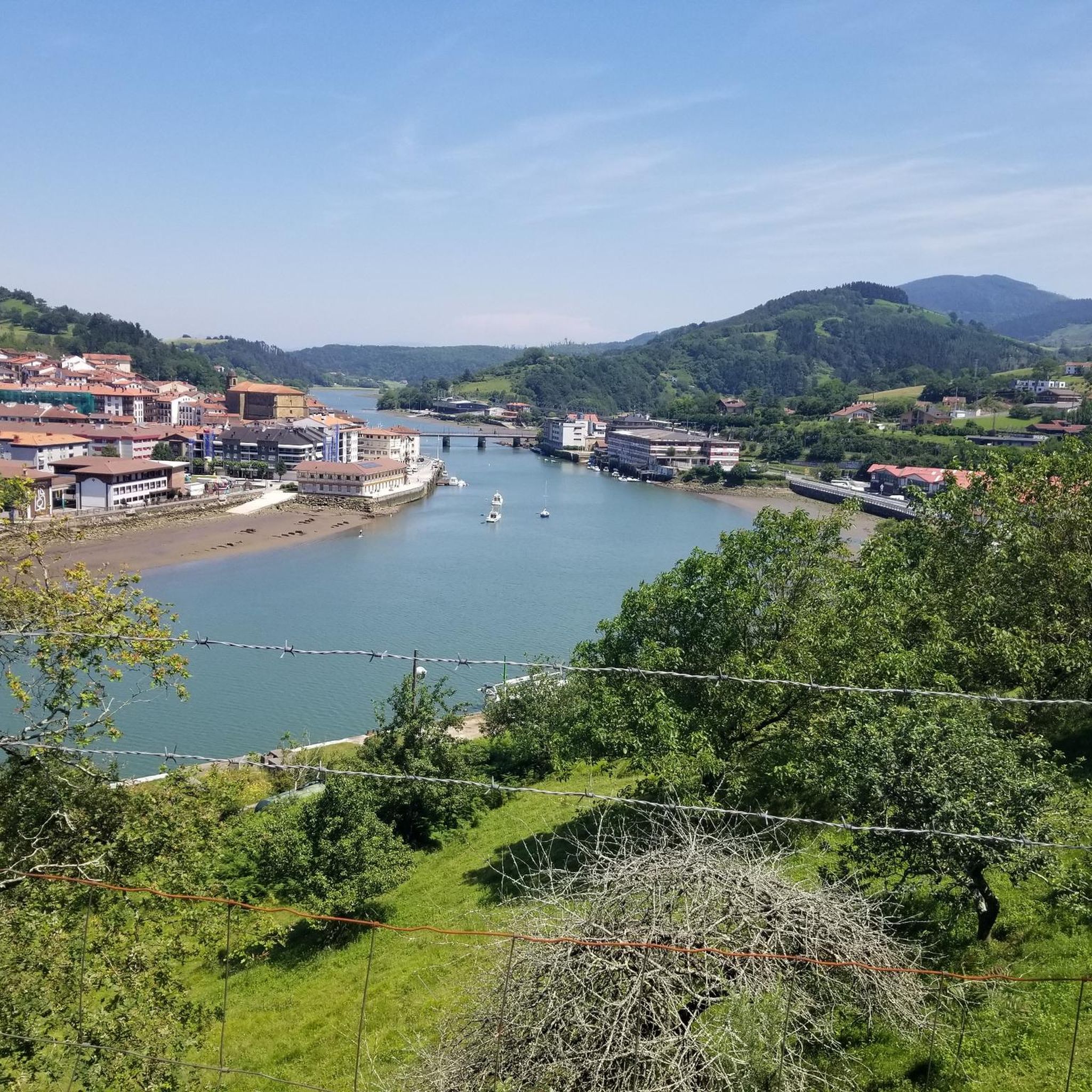
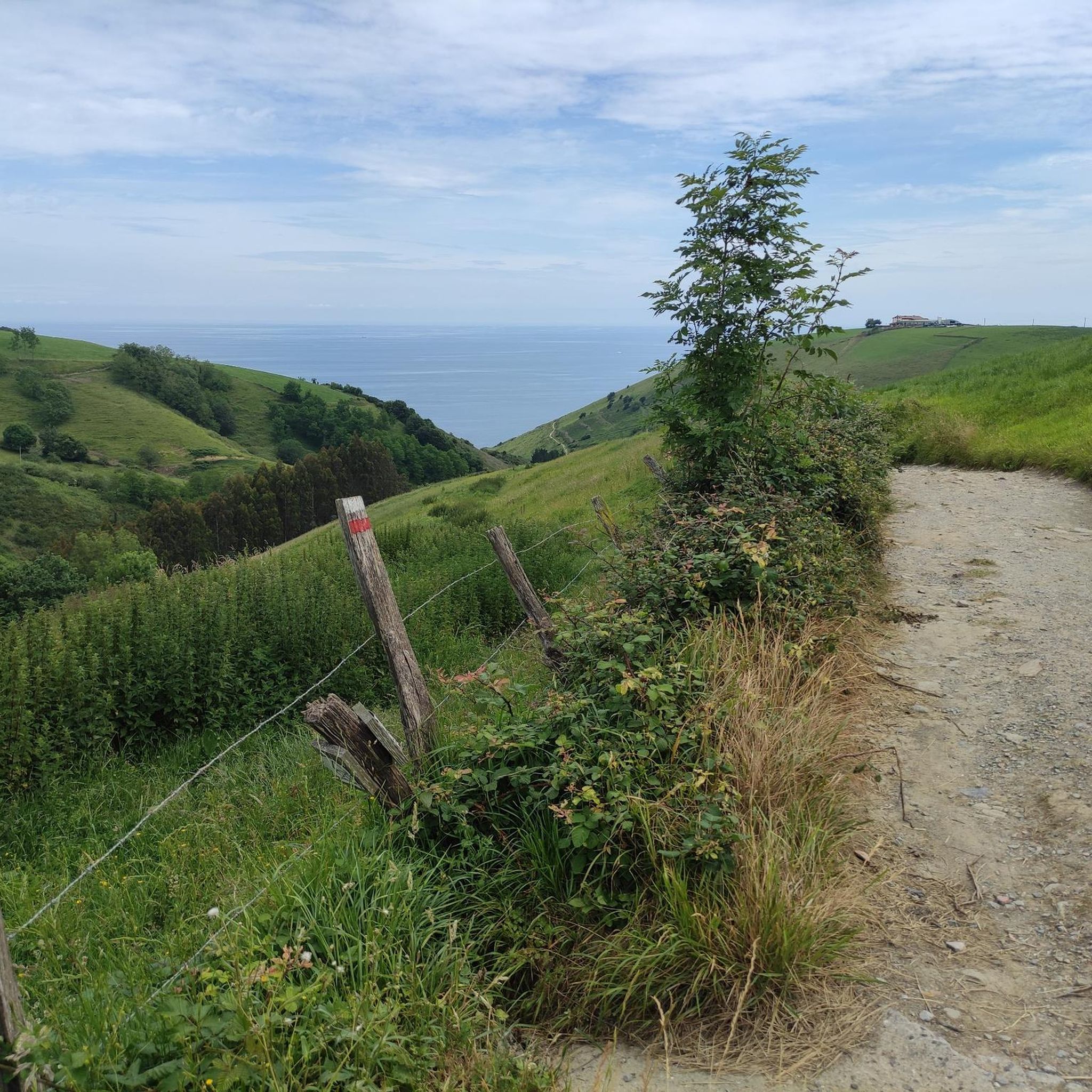
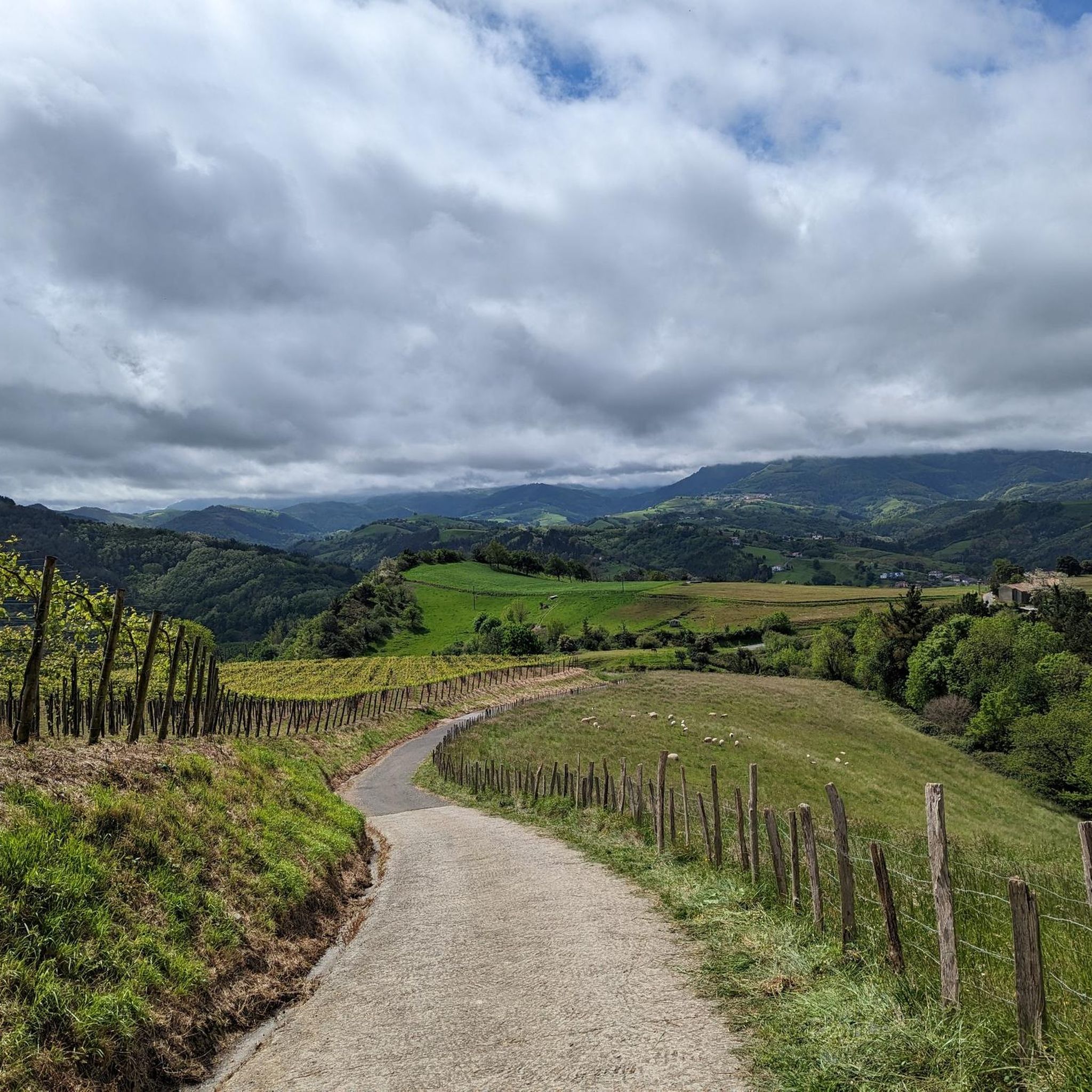
Hiking around Urola Costa offers a diverse landscape characterized by a unique blend of coastal and mountainous terrain. The region features the striking Flysch coastline, part of the UNESCO Global Geopark, showcasing millions of years of geological history. Inland, areas like Pagoeta Natural Park provide Atlantic woodlands and hills, while Monte Ernio offers panoramic views. Rivers such as the Urola and Oria create green valleys and estuaries, contributing to varied ecosystems.
Best hiking trails around Urola Costa
- The most popular hiking route is Playas de flysch de Zumaia — circular by the Geopark of the Basque Coast, a 5.0 miles (8.1 km) trail that takes 2 hours 22 minutes to complete. This route explores the unique geological formations of the Flysch coastline.
- Another top favourite among local hikers is Hernio and Gazume from Iturriotz Trail, a moderate 5.3 miles (8.5 km) path. This trail ascends towards Monte Ernio, offering expansive views of the surrounding mountains.
- Local hikers also love the Getaria from Zarauz — circular via the Northern Way, a 9.7 miles (15.6 km) trail leading through coastal towns and along the Northern Way of the Camino de Santiago, often completed in about 4 hours 34 minutes.
- Hiking around Urola Costa is defined by dramatic coastal cliffs, verdant mountains, and significant geological formations. The network of trails offers options for various ability levels, from easy strolls to more challenging ascents.
- The routes in Urola Costa are highly rated by the komoot community with an average score of 4.6 stars from over 1,800 reviews. More than 13,000 hikers have used komoot to explore Urola Costa's varied terrain.
Last updated: May 10, 2026
4.6
(49)
209
hikers
8.12km
02:22
220m
210m
Moderate hike. Good fitness required. Mostly accessible paths. Sure-footedness required.
4.8
(25)
379
hikers
8.54km
03:37
530m
530m
Moderate hike. Good fitness required. Mostly accessible paths. Sure-footedness required.

Sign up for free
4.7
(19)
132
hikers
15.6km
04:34
440m
440m
Moderate hike. Good fitness required. Easily-accessible paths. Suitable for all skill levels.
4.2
(14)
55
hikers
11.5km
04:17
600m
590m
Moderate hike. Good fitness required. Mostly accessible paths. Sure-footedness required.
3.5
(12)
42
hikers
3.91km
01:09
100m
100m
Easy hike. Great for any fitness level. Easily-accessible paths. Suitable for all skill levels.
4.7
(236)
1,407
hikers
24.9km
07:51
830m
830m
Hard hike. Very good fitness required. Mostly accessible paths. Sure-footedness required.
4.6
(288)
1,594
hikers
29.7km
08:52
760m
760m
Hard hike. Very good fitness required. Mostly accessible paths. Sure-footedness required.
4.7
(22)
125
hikers
14.4km
04:16
410m
410m
Moderate hike. Good fitness required. Easily-accessible paths. Suitable for all skill levels.
4.5
(42)
330
hikers
9.82km
02:50
230m
230m
Moderate hike. Good fitness required. Easily-accessible paths. Suitable for all skill levels.
4.6
(43)
301
hikers
10.3km
03:02
290m
300m
Moderate hike. Good fitness required. Easily-accessible paths. Suitable for all skill levels.
Get access to more routes and recommendations from other explorers.
Sign up for free
Already have an account?
Our route recommendations are based on thousands of hikes, rides, and runs completed by other people on komoot.
Start today with a free account
Your next adventure awaits.
Login or Signup
Other adventures around Urola Costa


Tips from the Community

Miramar Palace and views.
0
0

A peak very close to Hernio. It's highly recommended to visit it after reaching the summit of Hernio, as the descent from this point to the Iturrihotz hamlet is much more manageable.
0
0
Point before reaching the summit of Ernio. The pilgrimage takes place on Sundays in September. At this point, the hermit who sells cowbells and ribbons stands.
1
0

Absolutely breathtaking!
0
0

The first (or last section if reversing the route) section is absolutely NOT accessible. Possibly only at extreme low tide. We were there an hour before extreme low tide, and it was completely impossible. I would choose to simply follow the route at a higher elevation and skip the "beach" section. Especially since the beach is made up of large stones and rocks, difficult to walk on because you always have to watch your step due to loose stones.
1
0

The Miramar Palace was built in 1893 by order of the Spanish royal family, and Donostia has been traditional since the end of the 19th century. the place where members of the royal family spent the summer. In 1931 the building was confiscated by the Republic and passed into the hands of the city administration. During Francoism it went back to the (no longer existing) monarchy and was sold in 1963. Cultural events and the Basque Summer University take place in the palace. Until the completion of the new Musikene Music Academy in the summer of 2016, the institution had its temporary headquarters here. From the upper terrace you have a beautiful view over the Concha bay.
1
0
Long linear park along the Irutxule pasealekua promenade, overlooking the beach, with lawns, trees providing shade, benches, water fountains, restrooms, and monuments. One of the statues is tribute of gratitude from the people of San Sebastián to Queen Maria Cristina of Habsburg, that was attacked and restored during the Spanish Civil war.
0
0

Mostly the area is windy especially due to topography. Do not forget to carry water with yourself. Enjoy the Bay of Biscay
2
0
Frequently Asked Questions
How many hiking trails are available in Urola Costa?
Urola Costa offers a wide variety of hiking experiences, with over 220 routes available. These trails cater to different fitness levels, ranging from easy strolls to more challenging ascents through its diverse coastal and mountainous landscapes.
Are there any easy or beginner-friendly hikes in Urola Costa?
Yes, Urola Costa has over 60 easy routes suitable for beginners or those looking for a relaxed walk. A great option is the Sustraia Trail, which is just under 4 km long and features minimal elevation gain, making it perfect for a gentle introduction to the region's natural beauty.
What are some circular hiking routes in Urola Costa?
The region offers several excellent circular routes. You can explore the unique geological formations on the Playas de flysch de Zumaia — circular by the Geopark of the Basque Coast. For a mix of coastal towns and the Camino de Santiago, consider the Getaria from Zarauz — circular via the Northern Way. Inland, the Aia, Pagoeta Cross, and Murugil Circular Trail offers a challenging loop through Pagoeta Natural Park.
What kind of natural attractions can I see along the hiking trails?
Urola Costa is rich in natural wonders. Many trails, particularly around Zumaia, offer views of the dramatic Algorri Flysch and the Zumaia Flysch Cliffs, part of the UNESCO Global Geopark. You can also discover the unique Cretaceous–Paleogene Boundary Cliffs. Further along the coast, Mount San Antón, known as the 'Ratón de Getaria', provides scenic coastal views.
Are there any family-friendly hiking options in Urola Costa?
Yes, the region offers routes suitable for families. The short, circular route around Mount San Antón (Ratón de Getaria) is a popular choice, providing sea breezes and impressive vistas without being overly strenuous. Many of the easier trails, like the Sustraia Trail, are also great for families.
What do other hikers enjoy most about hiking in Urola Costa?
The area is highly rated by the komoot community, with an average score of 4.6 stars from over 1,800 reviews. Hikers frequently praise the region's dramatic coastal cliffs, verdant mountains, and significant geological formations, highlighting the diverse terrain and stunning views.
Are there any trails that offer panoramic mountain views?
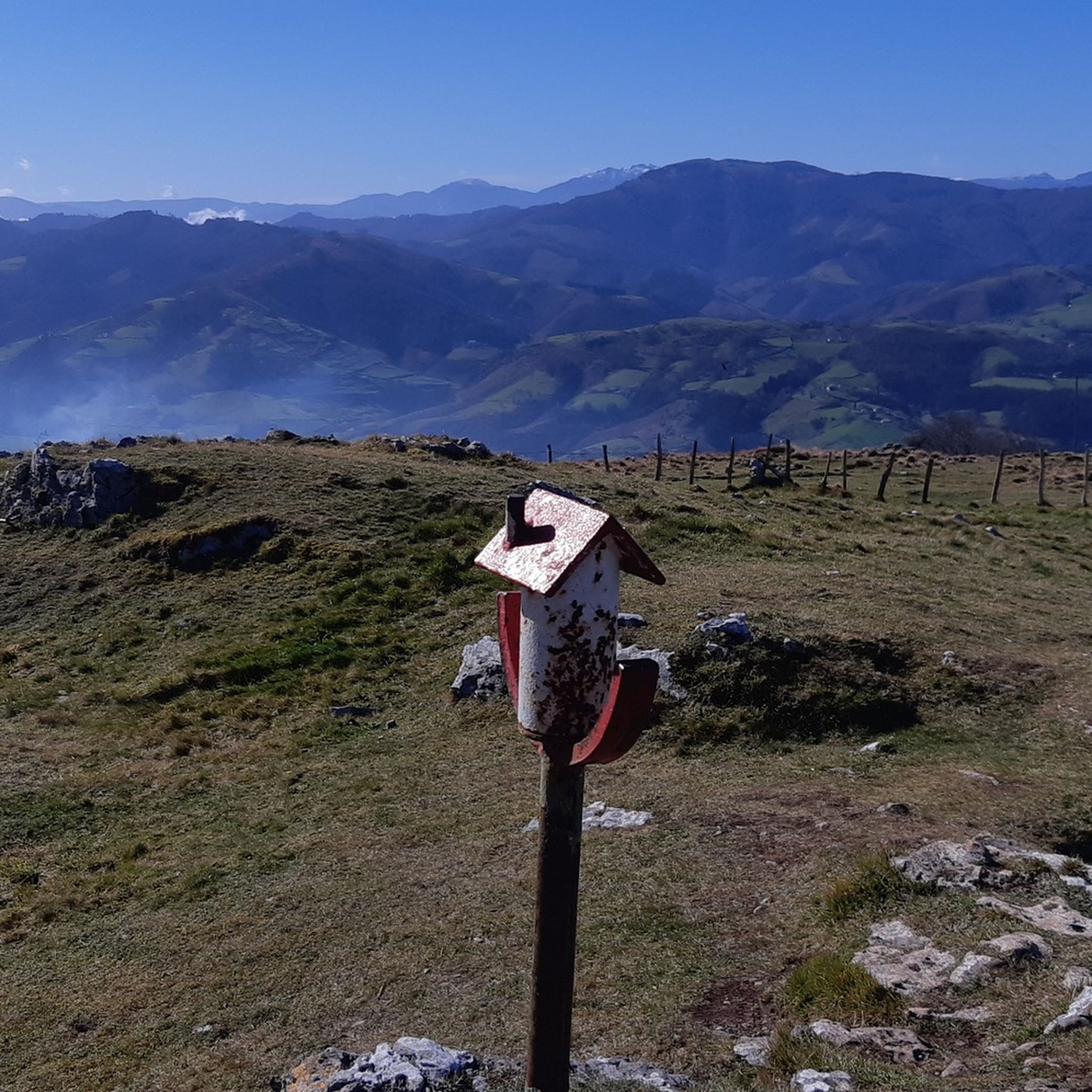
Absolutely. The Hernio and Gazume from Iturriotz Trail ascends towards Monte Ernio, offering spectacular panoramic views of various mountains, including Gorbeia, Anboto, and even the Pyrenees on clear days. The Peñas de Aia area also provides 360-degree views from its peaks.
Can I find any huts or shelters along the hiking routes?
Yes, for longer hikes or multi-day adventures, there are several huts and shelters in the Urola Costa region. Notable options include the Xoxote Refuge, the Friends of Hernio Shelter, and the Zelatun Pass and Borda (mountain hut), which can provide a resting point or overnight stay.
Are there any hikes that pass through vineyards or offer cultural insights?
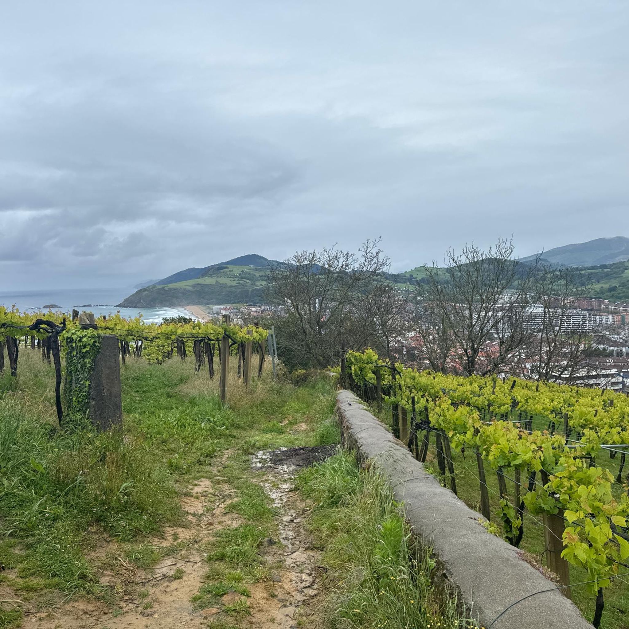
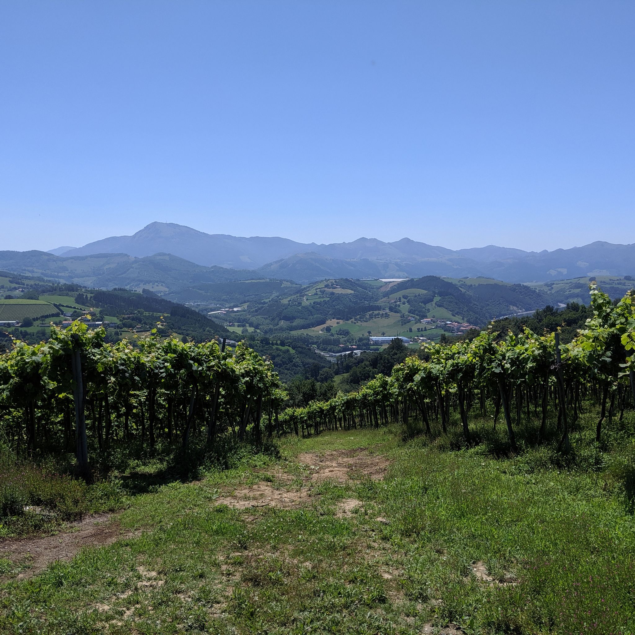
Yes, the region seamlessly integrates natural beauty with cultural experiences. The Vineyards – Getaria Town Centre loop from Zarautz is a great option, allowing you to walk through local vineyards and explore the charming fishing village of Getaria, known for its txakoli wine and fresh seafood.
What is the best time of year to go hiking in Urola Costa?
Urola Costa is enjoyable for hiking throughout much of the year. Spring and autumn offer pleasant temperatures and vibrant landscapes, with fewer crowds. Summer is ideal for combining hikes with coastal activities, though trails can be busier. Even winter hiking is possible, especially along the coast, offering a different, often dramatic, perspective of the scenery.
Are there any long-distance or challenging hikes in the area?
For experienced hikers seeking a challenge, Urola Costa offers several difficult routes. The Orio Old Town and Harbor – La Concha Promenade loop from Tontor Txiki is a demanding 29.6 km trail with significant elevation gain. Another challenging option is the Algorri Flysch – Portutxiki Viewpoint loop from Zumaia, covering over 25 km and showcasing the dramatic coastline.
Can I hike along the Camino de Santiago in Urola Costa?
Yes, the Camino de Santiago passes through the Urola Costa region, incorporating parts of the famous Flysch Route. The Getaria from Zarauz — circular via the Northern Way is an example of a route that follows this historic pilgrimage path, offering a blend of coastal scenery and cultural heritage.
Most popular routes around Urola Costa
Most popular attractions around Urola Costa

Get inspired with the komoot mobile app


Didn’t find what you were looking for?
Check out more Hikes throughout Urola Costa below and find the perfect route in your destination.
Explore more
Browse the best Hikes in other regions.
