The best running trails around Bajo Bidasoa
4.5
(54)
5,131
runners
173
runs
Jogging routes around Bajo Bidasoa traverse a diverse landscape, from the accessible Bidasoa Greenway to the challenging mountainous terrain of the Pyrenees. The region features well-maintained trails along rivers and through natural parks. Runners can find routes ranging from mostly flat paths to those with significant elevation changes. This variety offers options for different fitness levels and preferences.
Best jogging routes around Bajo Bidasoa
- The most popular jogging route is Heights of Fontarabie – running in the Basque Country,…
Last updated: August 17, 2026
4.0
(1)
188
runners
23.0km
03:07
670m
680m
Hard run. Very good fitness required. Sure-footedness, sturdy shoes and alpine experience required.
167
runners
Hard run. Very good fitness required. Sure-footedness, sturdy shoes and alpine experience required.

Sign up for free
4.0
(1)
104
runners
16.7km
02:21
580m
580m
Hard run. Very good fitness required. Sure-footedness, sturdy shoes and alpine experience required.
4.5
(2)
300
runners
15.1km
01:35
50m
50m
Hard run. Very good fitness required. Mostly paved surfaces. Suitable for all skill levels.
5.0
(1)
183
runners
42.7km
05:52
1,280m
1,280m
Hard run. Very good fitness required. Sure-footedness, sturdy shoes and alpine experience required.
227
runners
14.4km
01:56
350m
350m
Hard run. Very good fitness required. Sure-footedness, sturdy shoes and alpine experience required.
2.0
(1)
128
runners
11.0km
01:09
80m
80m
Moderate run. Good fitness required. Mostly paved surfaces. Suitable for all skill levels.
105
runners
13.3km
01:23
100m
100m
Moderate run. Good fitness required. Mostly paved surfaces. Suitable for all skill levels.
164
runners
18.8km
02:22
380m
380m
Hard run. Very good fitness required. Sure-footedness, sturdy shoes and alpine experience required.
94
runners
12.5km
01:31
200m
200m
Hard run. Good fitness required. Sure-footedness, sturdy shoes and alpine experience required.
Get access to more routes and recommendations from other explorers.
Sign up for free
Already have an account?
Our route recommendations are based on thousands of hikes, rides, and runs completed by other people on komoot.
Start today with a free account
Your next adventure awaits.
Login or Signup
Popular around Bajo Bidasoa
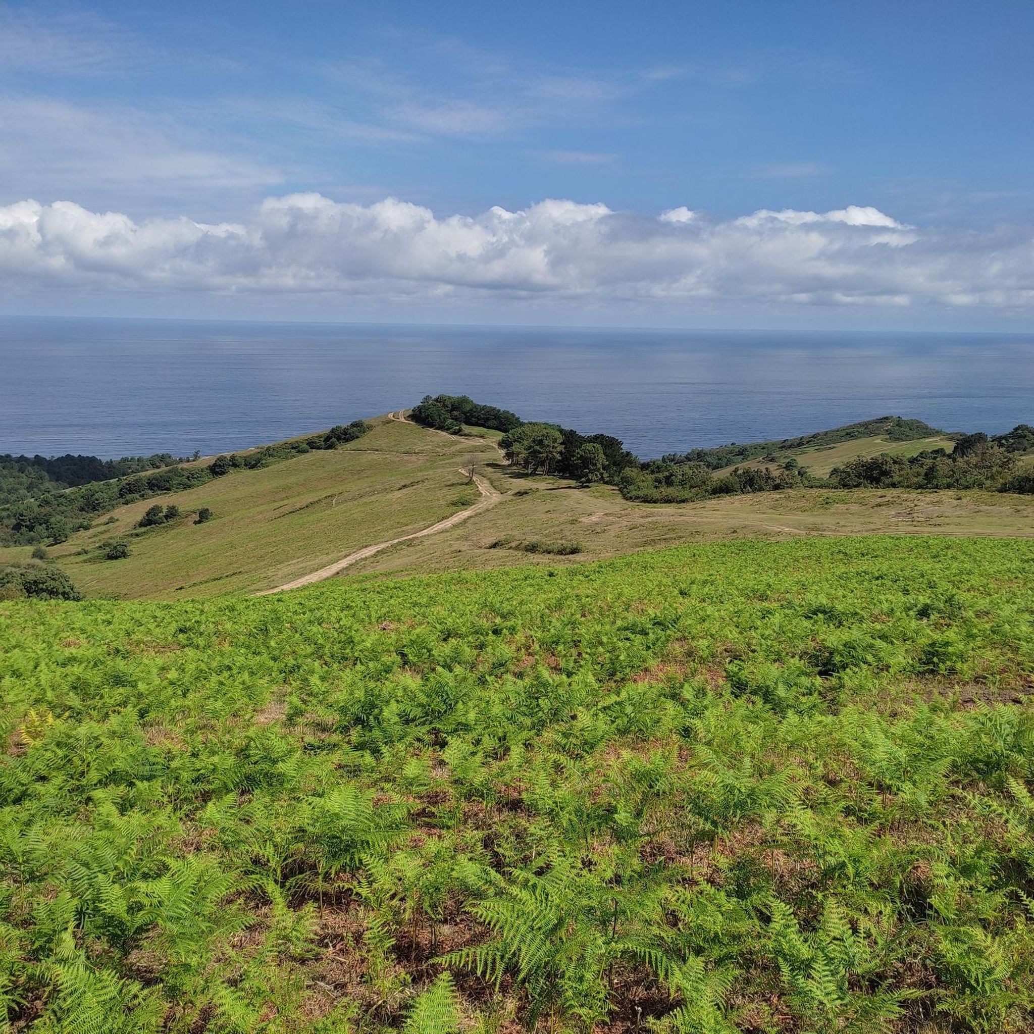
Running Trails around Fontarrabie
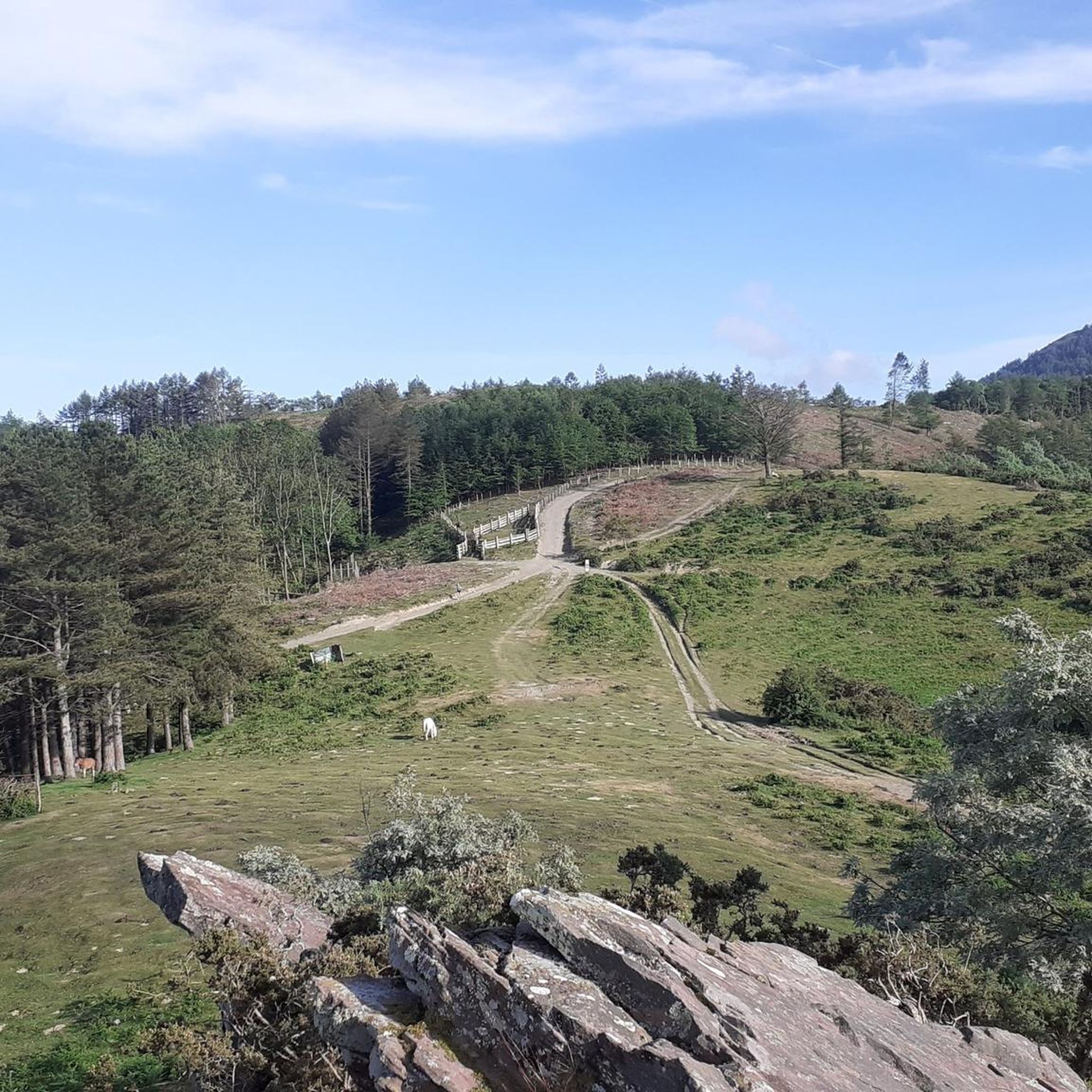
Running Trails around Irun
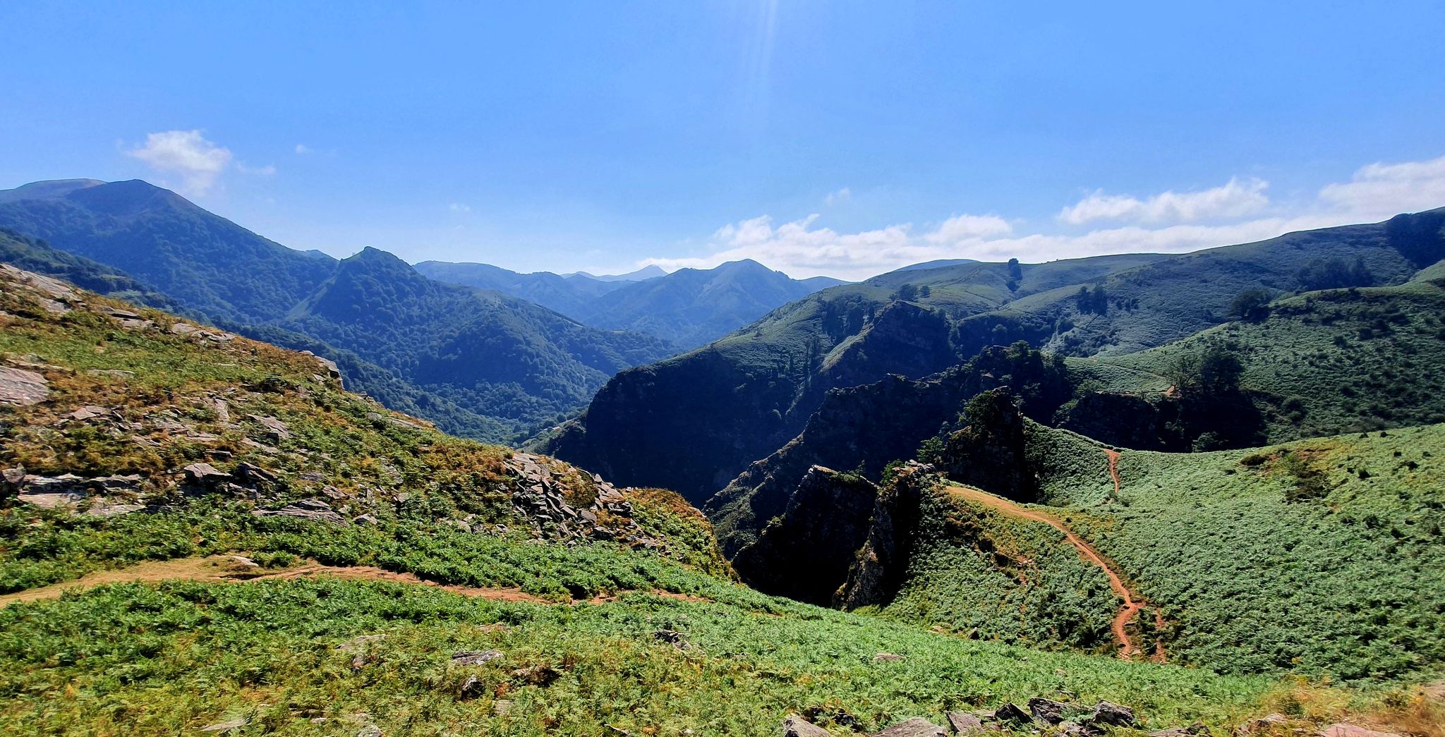
A land rich in character – running in the Basque Country
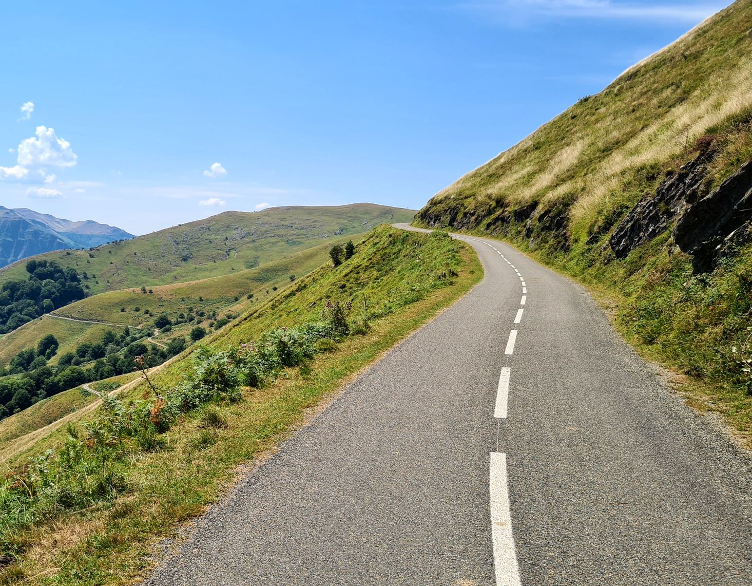
Basque Country mountain passes – Panorama rides
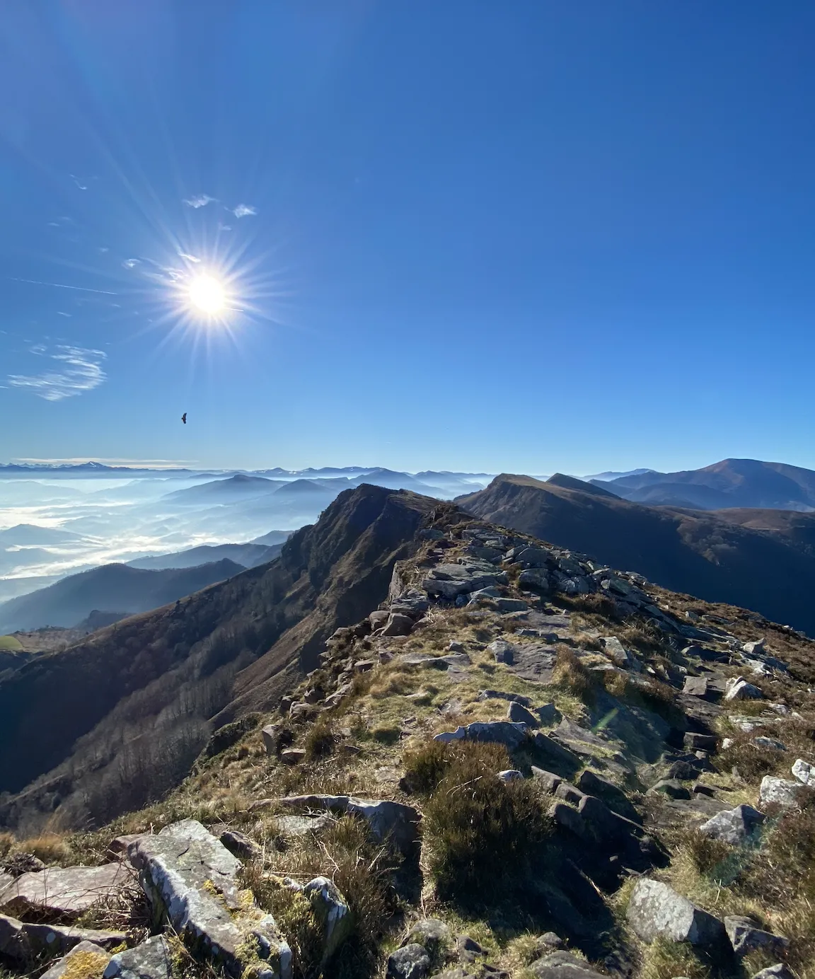
The coast to the mountains – the best hikes in Spain’s Basque Country
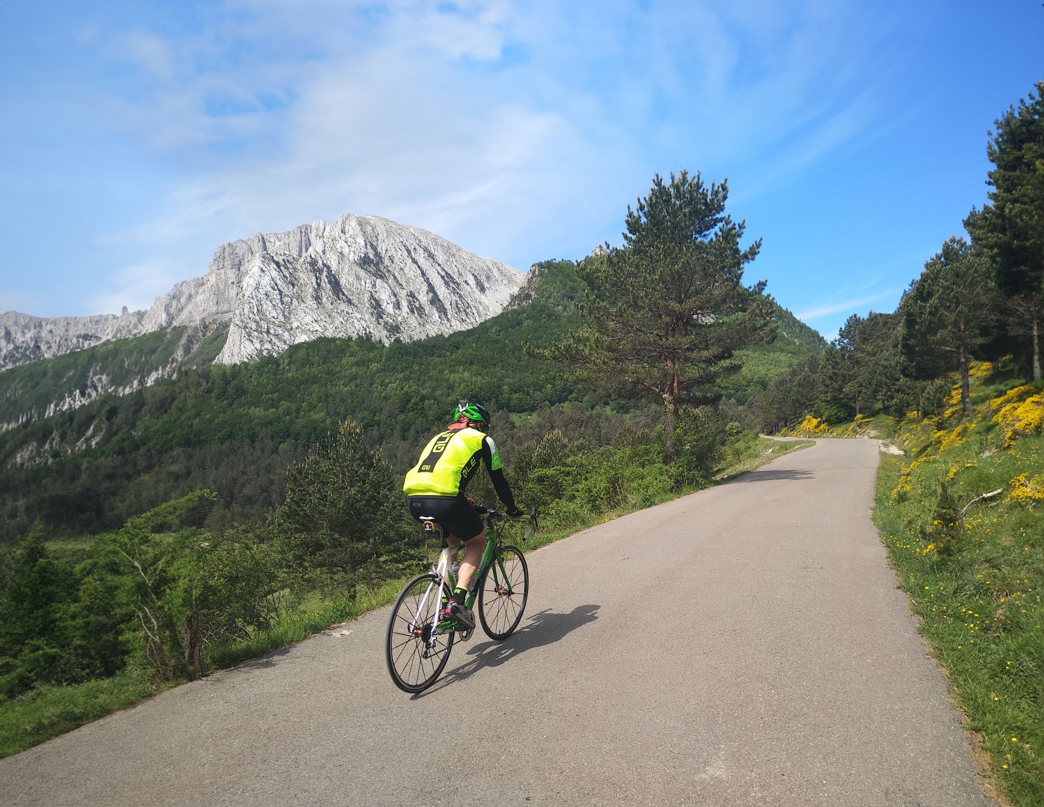
The Bay of Biscay to the Mediterranean — southern Pyrenees cycle tour
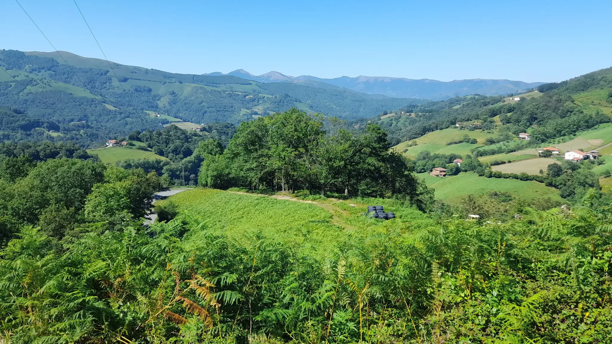
Discover the Basque Country and Navarre on the Pyrenean Path – GR 11
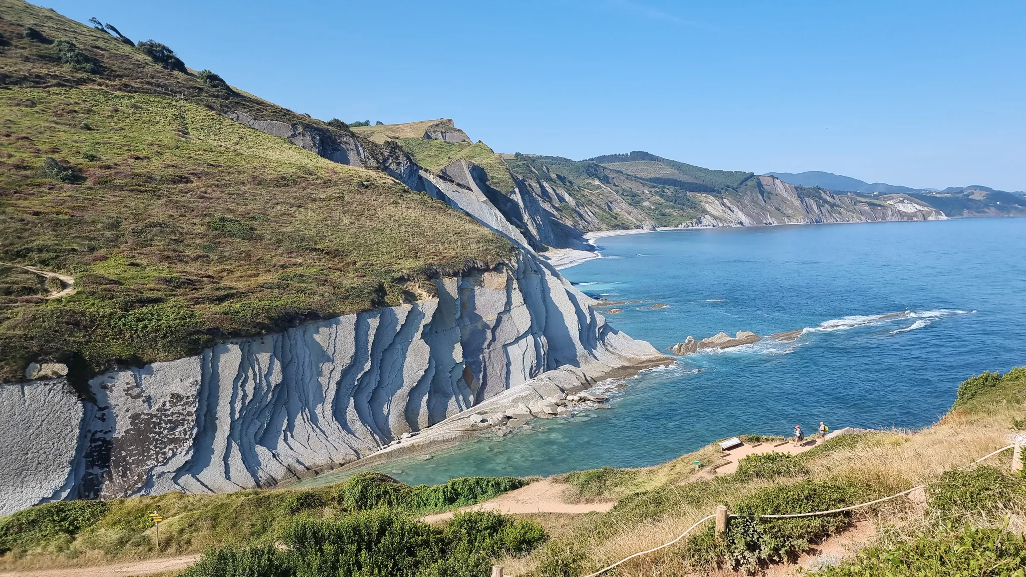
Between the sea and the mountains — GR 121: Tour of Guipúzcoa
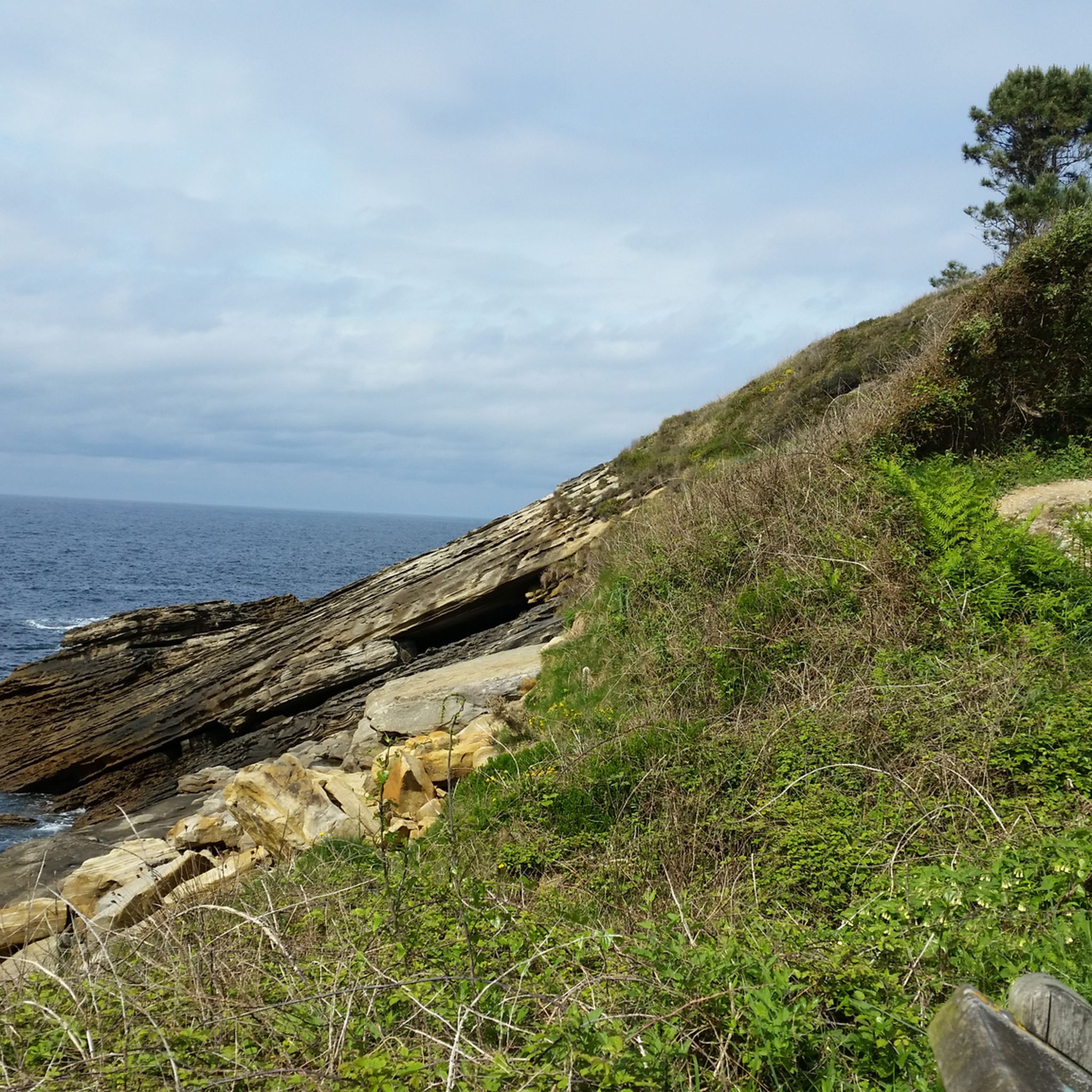
Hiking around Bajo Bidasoa
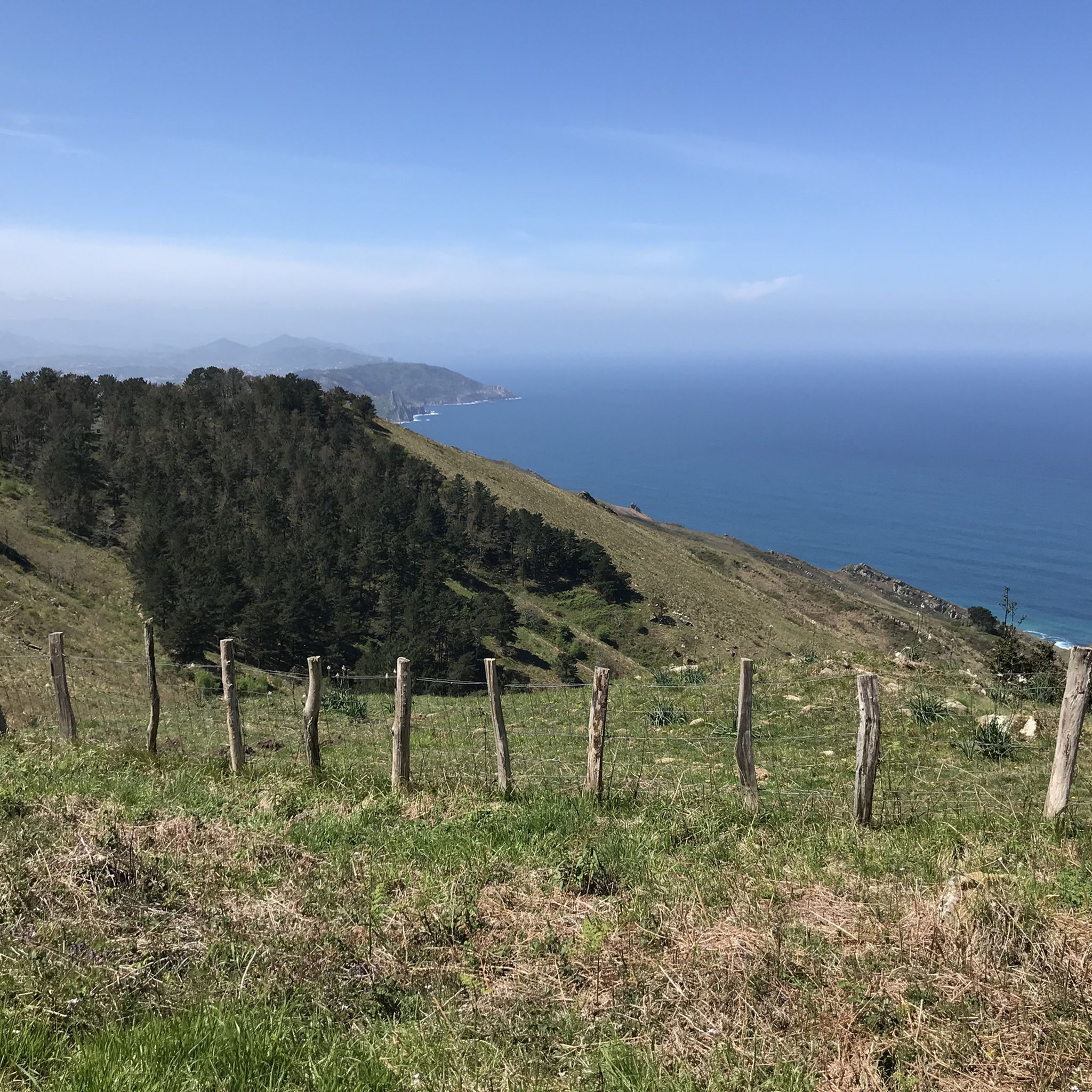
Road Cycling Routes around Bajo Bidasoa
Other adventures around Bajo Bidasoa


Tips from the Community

Caution! Approaching Irumugarrieta Peak from the south, you have to climb a serious, vertical wall. Unfortunately, with a dog, we had to give up here and fought our way down cross-country through the undergrowth. The other way around, it probably won't work with a dog even without abseiling. The tour is still very beautiful, but I wouldn't do the special descent again.
2
0

Difficult Route NOT suitable for children. There are areas that require climbing. Skip this route on days when the terrain may be wet (rain, snow, both on that day and in the days prior).
0
0

An incredible view - but the summit is not particularly clearly marked.
3
0
Here you can decide whether to take the ridge path or walk around it through a forest.
3
0
Wonderful view over the bay of Hondarribia and Hendaye.
3
0

You can't visit Hondarribia without going up to the lighthouse, great views of the bay
0
0

Also a great place for a breather when it rains...
0
0

Jaizkibel summit at 547m, superb viewpoint over the Basque coast.
1
0
Frequently Asked Questions
How many running routes are available in Bajo Bidasoa?
Bajo Bidasoa offers a wide selection of running routes, with over 150 trails documented on komoot. These routes cater to various preferences, from easy paths to challenging mountain runs.
Are there easy or beginner-friendly running routes in Bajo Bidasoa?
Yes, Bajo Bidasoa has several easy and beginner-friendly options. The Rio Bidasoa bike trail loop from Irun is a moderate 5.4-mile (8.8 km) path along the river valley, offering a mostly flat surface. The Bidasoa Greenway, mentioned in regional research, also provides accessible, flat sections suitable for all fitness levels.
What kind of terrain can I expect on the running trails in Bajo Bidasoa?
The region offers diverse terrain. You'll find mostly flat paths along river valleys like the Bidasoa Greenway, as well as challenging mountainous terrain within the Pyrenees. Routes can range from paved surfaces to rugged trails with significant elevation changes, such as those in the Aiako Harria Natural Park.
Are there any scenic landmarks or natural features to see while jogging?
Absolutely. Many routes offer stunning views and pass by notable landmarks. For instance, the Heights of Fontarabie – running in the Basque Country provides panoramic views. You can also explore areas near the Ermita de Guadalupe or the Fort of Nuestra Señora de Guadalupe. The Bidasoa River itself offers picturesque routes, and the region is rich in rivers and waterfalls.
Can I find circular running routes in the Bajo Bidasoa region?
Yes, circular routes are popular in Bajo Bidasoa. An example is the challenging Peñas de Aia: Erroilbide, Txurrumurru, Irumugarrieta y Muganix — circular trailrunning por el Parque Natural Aiako Harria. The regional research also mentions the Sunbilla Circular Walk along the Bidasoa Riverbank.
Are the running trails in Bajo Bidasoa suitable for families?
Many trails in Bajo Bidasoa are suitable for families, especially the flatter sections of the Bidasoa Greenway, such as the Sunbilla–Doneztebe stretch. These routes are generally accessible and offer a pleasant experience for all ages.
Are dogs allowed on the running trails in Bajo Bidasoa?
While specific regulations can vary by trail or natural park, many outdoor areas in Bajo Bidasoa are dog-friendly. It's always recommended to keep dogs on a leash, especially in natural parks or areas with wildlife, and to check local signage for any specific restrictions.
What is the best time of year to go running in Bajo Bidasoa?
Bajo Bidasoa is suitable for running throughout much of the year. Spring and autumn offer pleasant temperatures and lush scenery. Summer can be warm, especially at lower elevations, while winter runs are possible, though mountainous areas may require more preparation due to potential snow or colder conditions.
Are there routes with significant elevation gain for more challenging runs?
Definitely. For those seeking a challenge, the mountainous terrain within the Pyrenees, particularly around Peñas de Aia (Aiako Harria Natural Park) and La Rhune, offers demanding trail running opportunities with considerable elevation gains. Routes like the Talaia Trail: Jaizkibel Loop feature significant ascents.
How can I access the running routes, particularly regarding parking or public transport?
Many routes in Bajo Bidasoa are accessible by car, with parking often available near trailheads, especially in towns like Irun or Hondarribia. The region also benefits from public transport connections, particularly to larger towns, which can serve as starting points for various trails. The Bidasoa Greenway, for example, is known for its ease of access.
What do other runners say about their experience in Bajo Bidasoa?
The running routes in Bajo Bidasoa are highly rated by the komoot community, with an average score of 4.5 stars from over 37 reviews. Runners often praise the diverse landscapes, from river paths to challenging mountain trails, and the well-maintained nature of many routes.
Are there any routes that feature waterfalls or rivers?
Yes, the region is rich in rivers and waterfalls. The Bidasoa River itself provides several picturesque running options, such as the Running loop from Irun which follows the river. Regional research also highlights a 5 km route from Sunbilla that leads directly to the Bisusta Waterfall.
What are some longer running routes for endurance training?
For longer endurance runs, consider routes like the Higuer Lighthouse – Cabo Higuer Lighthouse loop from San Telmo gaztelua, which spans over 26 miles (42 km) and involves significant elevation. The Bidasoa Greenway also offers extended, mostly flat sections that can be combined for longer distances.
Most popular routes around Bajo Bidasoa
Most popular attractions around Bajo Bidasoa

Get inspired with the komoot mobile app


Didn’t find what you were looking for?
Check out more Running Trails & Routes throughout Bajo Bidasoa below and find the perfect route in your destination.
Explore more
Browse the best Running Trails & Routes in other regions.
