The best walks and hikes around Llanada Alavesa
4.5
(1092)
7,748
hikers
664
hikes
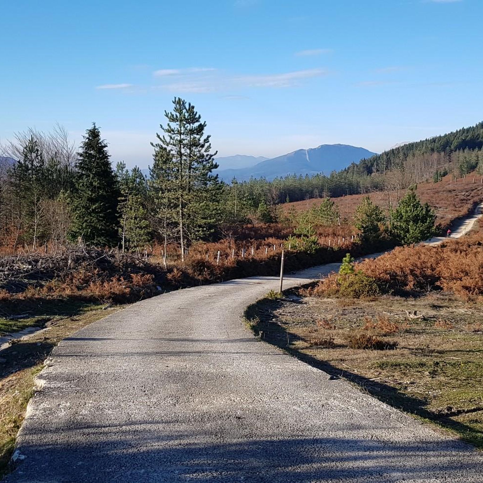
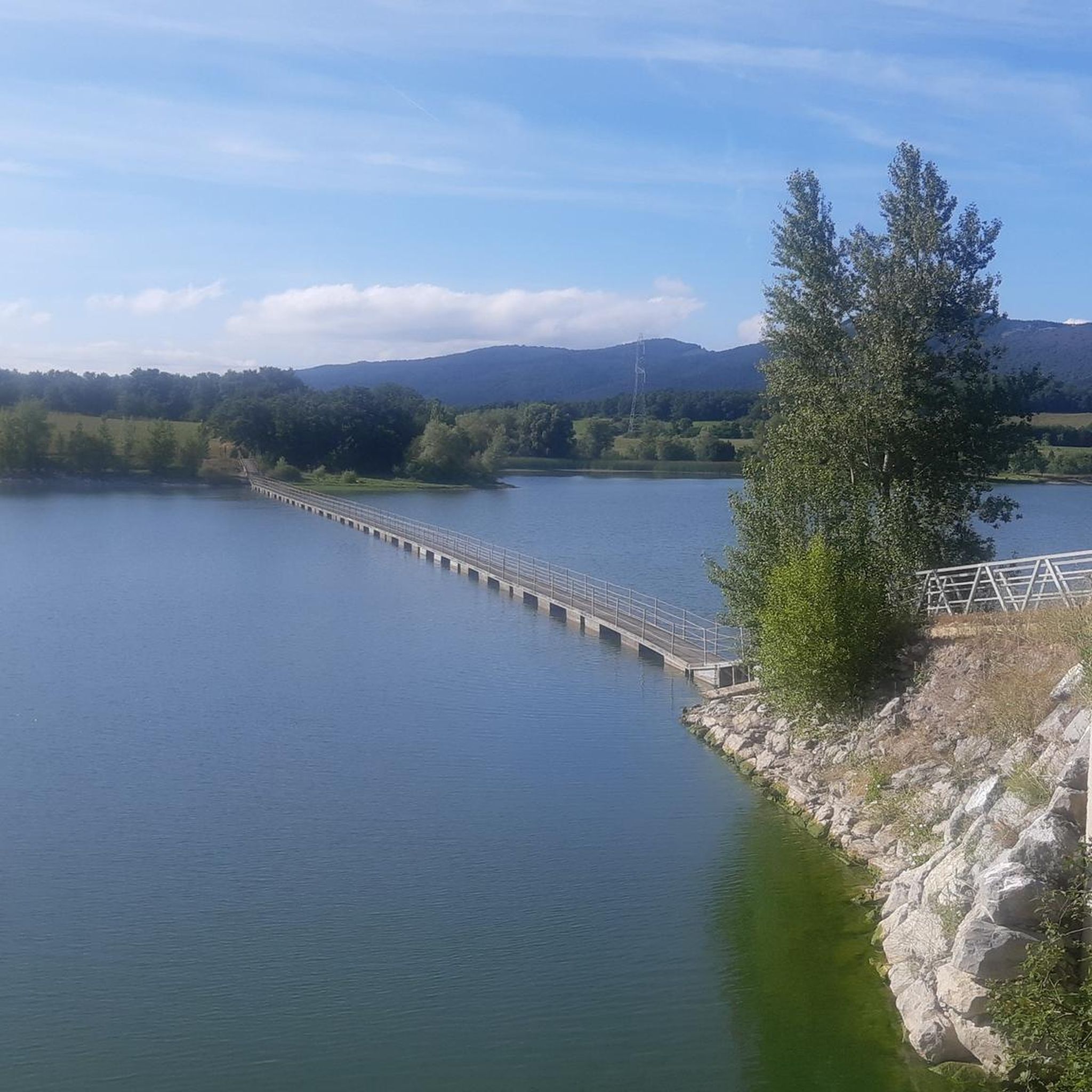
Hiking around Llanada Alavesa offers diverse landscapes, from extensive plains to dramatic mountain ranges. The region is characterized by prominent limestone massifs, extensive beech and oak forests, and significant wetland ecosystems. It is bordered by the Aizkorri and Entzia ranges to the north, and the Central and Western Sierras to the south and west, providing varied terrain for outdoor activities. Water features like clear springs, rushing streams, and the Ullíbarri-Gamboa reservoir define much of the natural beauty.
Best hiking trails…
Last updated: August 17, 2026
4.7
(26)
75
hikers
5.58km
01:33
100m
100m
This easy 3.5-mile hike through the ZEC Entzia features unique karst formations, ancient beech forests, and the iconic Zalamportillo Arch.
3.4
(5)
18
hikers
5.41km
01:24
30m
30m
Explore Vitoria-Gasteiz on an easy 3.4-mile (5.4 km) city tour, blending green spaces with historical landmarks like the Cathedral.

Sign up for free
5.0
(1)
19
hikers
Hard hike. Very good fitness required. Sure-footedness, sturdy shoes and alpine experience required.
3.0
(5)
18
hikers
4.40km
01:48
330m
330m
Hike the difficult 2.7-mile Toberia Waterfalls Trail near Andoin, Spain, to discover stunning waterfalls and lush beech and oak forests.
5.0
(1)
6
hikers
10.4km
03:24
440m
440m
Hike a moderate 6.5-mile circular route to Peña Albeniz from Araia, exploring the Aizkorri-Aratz Natural Park's karst landscapes and river s
3.5
(2)
9
hikers
11.3km
03:34
290m
290m
Hike a moderate 7.0-mile circular route in the Montes Altos de Vitoria, summiting Zalbizkar and Pagogan with forest and mountain views.
4.0
(2)
8
hikers
16.0km
05:41
680m
680m
Hike a difficult 9.9-mile circular route through the Montes de Vitoria, summiting Zaldiaran, Busto, and San Miguel with 2230 feet of gain.
4.0
(1)
8
hikers
15.3km
04:29
410m
410m
Hike the 9.5-mile (15.3 km) moderate Castillo de Gebara loop in Montes de Aldaia, exploring castle ruins, Aldaia summit, and panoramic views
2
hikers
14.7km
04:20
410m
400m
Hike a moderate 9.1-mile (14.7 km) loop through Entzia Special Conservation Area, summiting Txandi, San Cristobal, and Kapitate for panorami
4.8
(31)
141
hikers
Moderate hike. Good fitness required. Mostly accessible paths. Sure-footedness required.
Get access to more routes and recommendations from other explorers.
Sign up for free
Already have an account?
Our route recommendations are based on thousands of hikes, rides, and runs completed by other people on komoot.
Start today with a free account
Your next adventure awaits.
Login or Signup
Popular around Llanada Alavesa
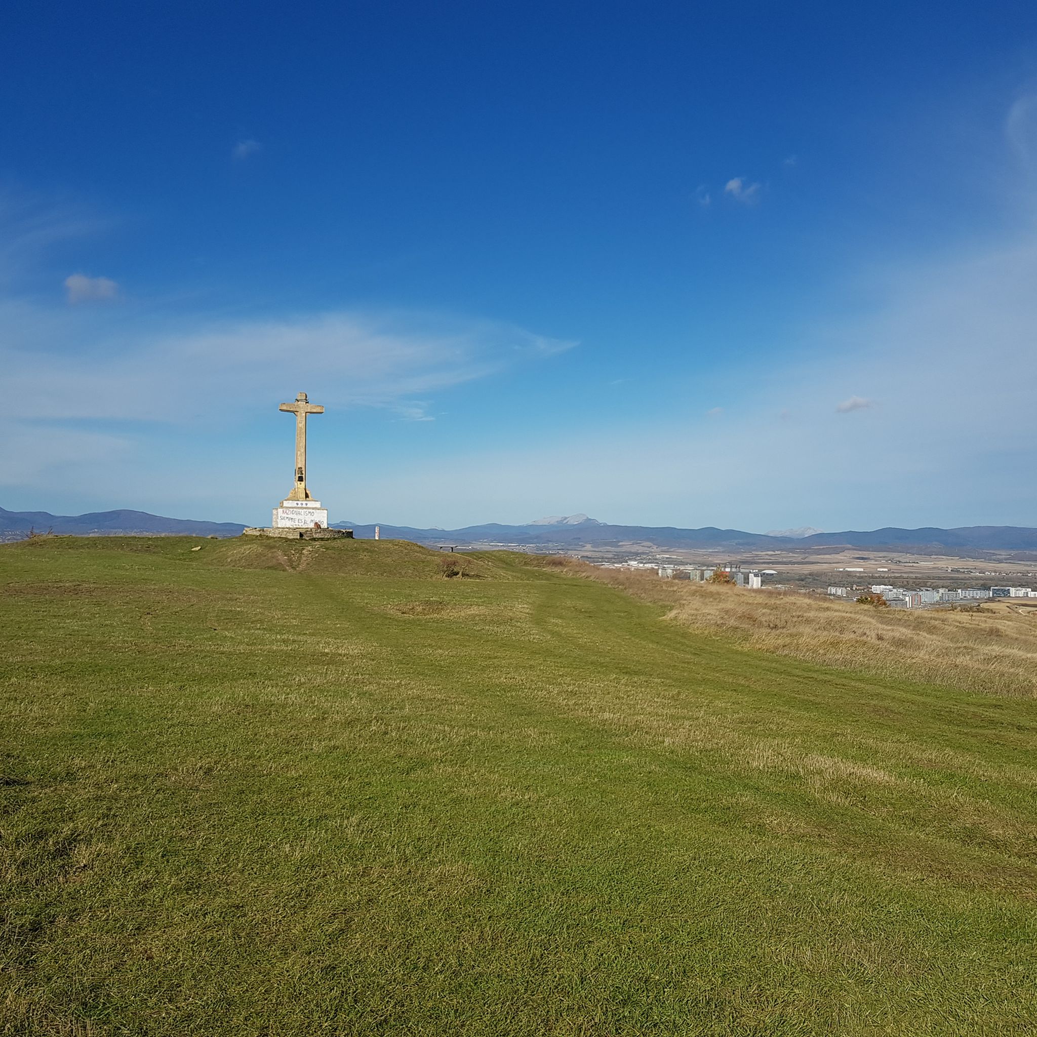
Hiking around Vitoria-Gasteiz
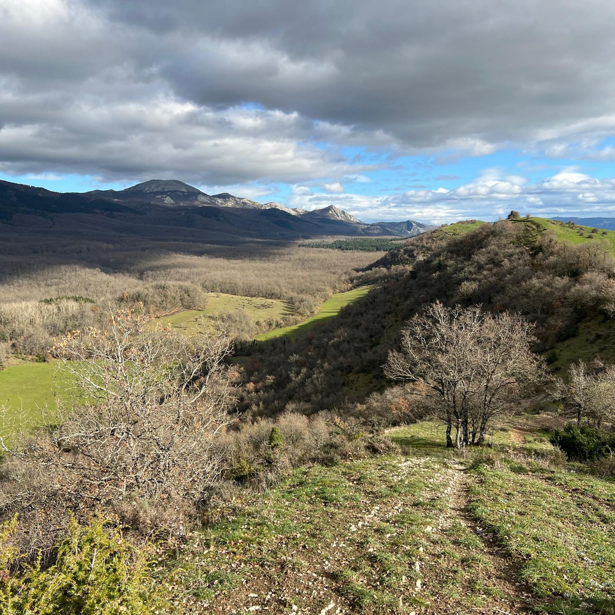
Hiking around Asparrena
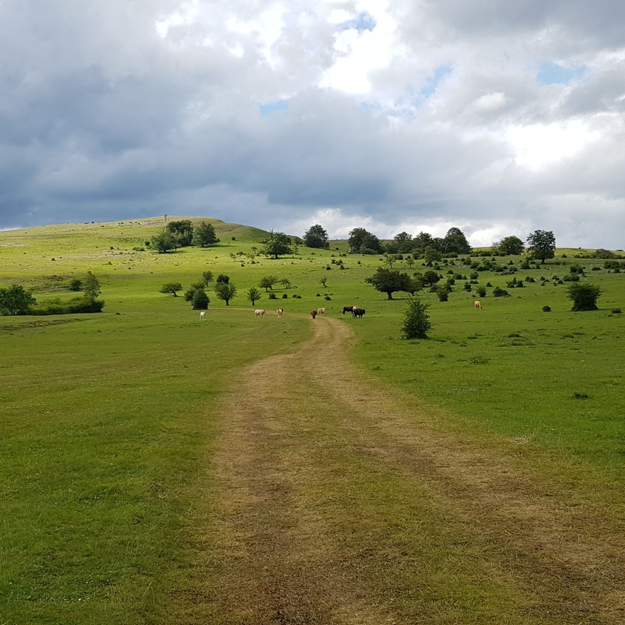
Hiking around Entzia
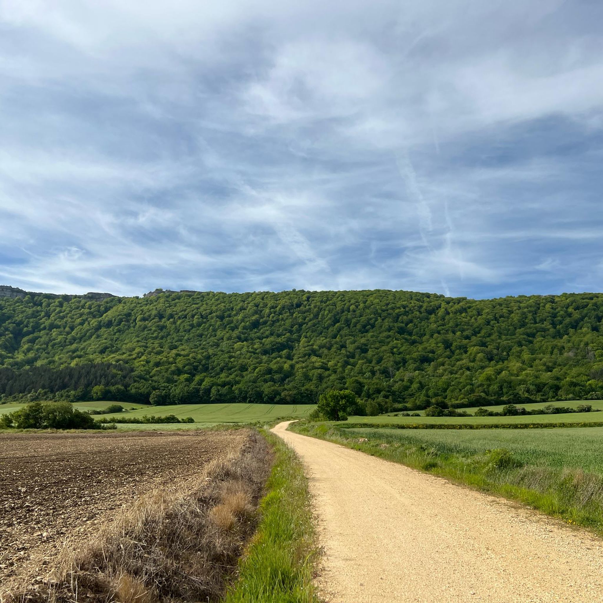
Hiking around Salvatierra / Agurain
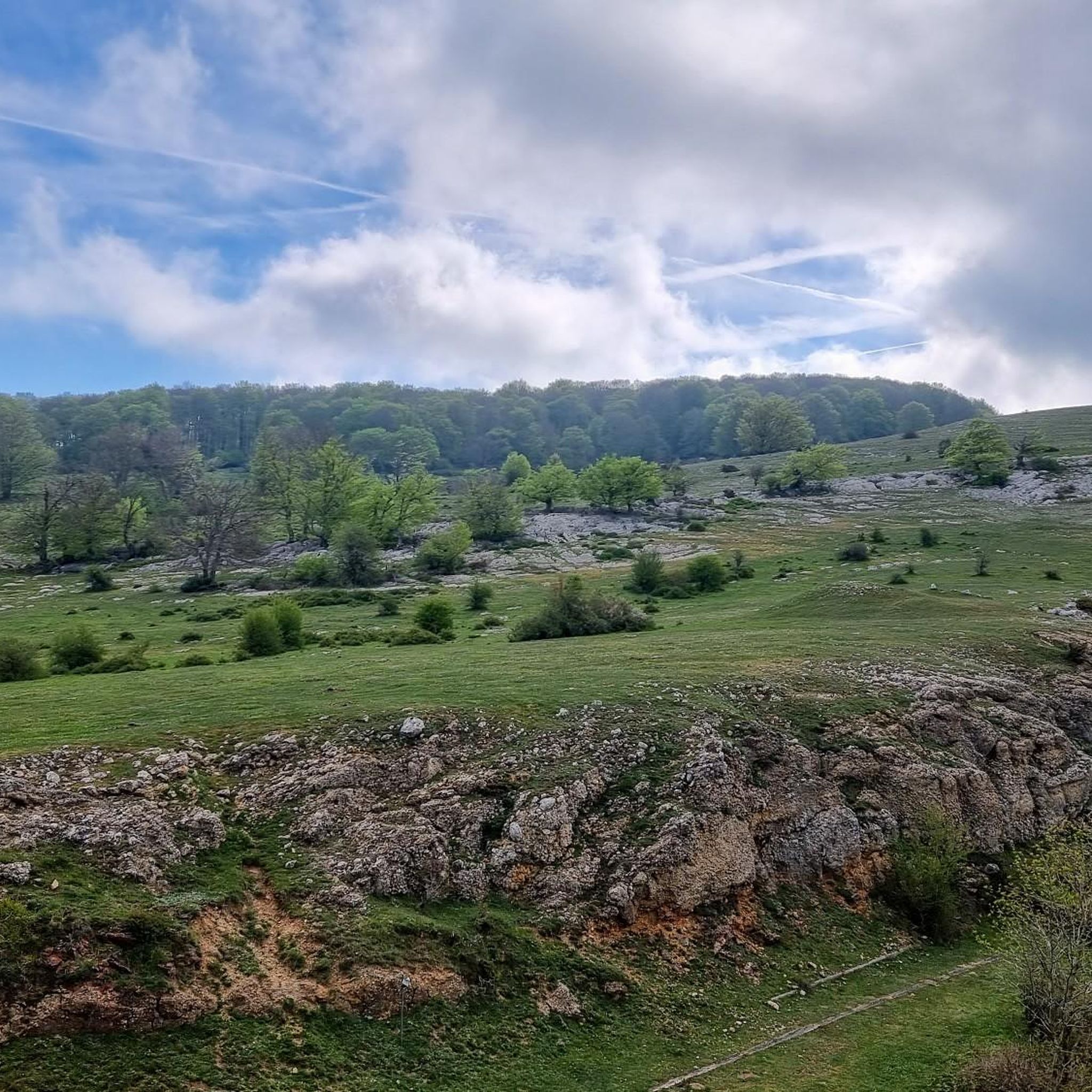
Hiking around Entziako partzuergoa/Parzonería de Entzia
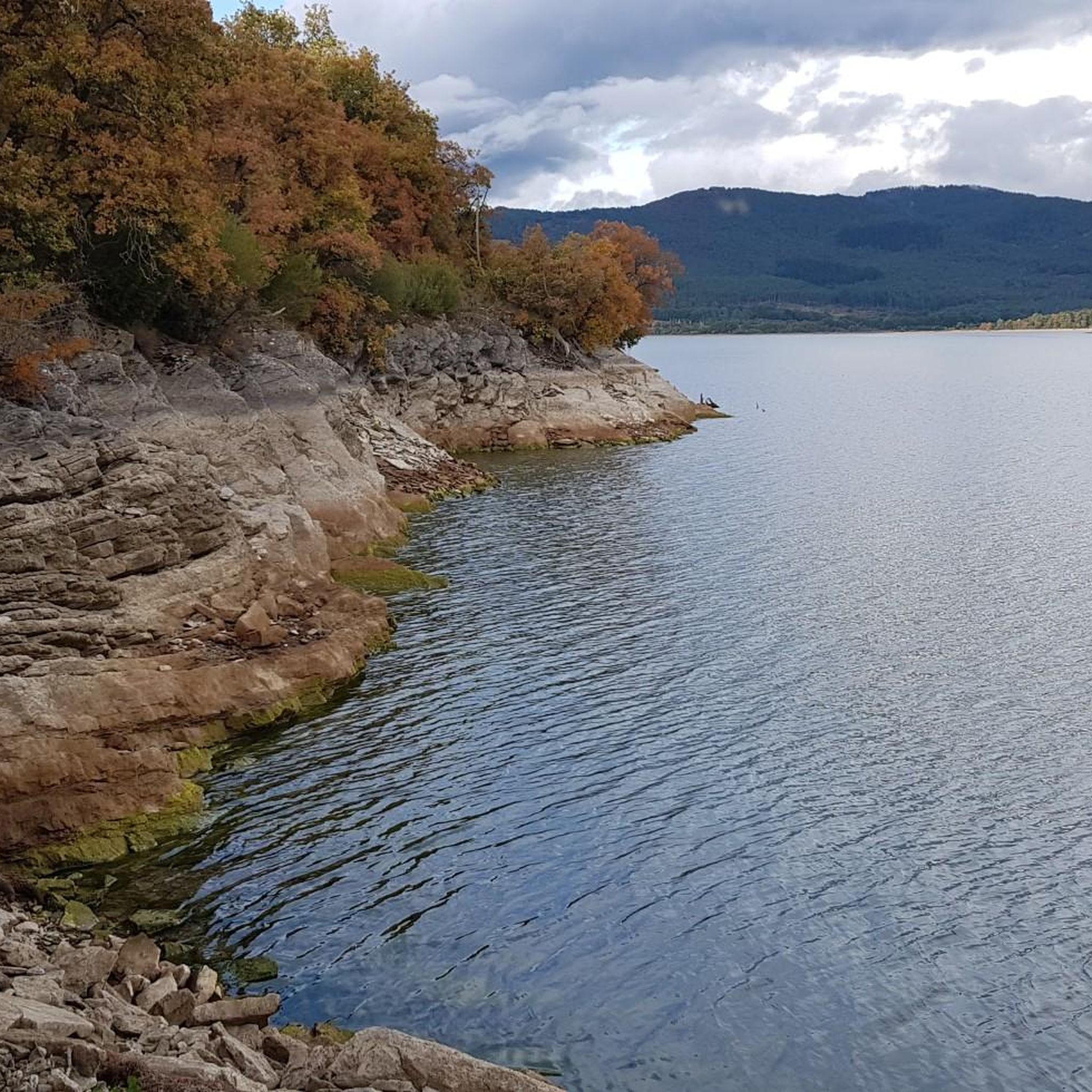
Hiking around Embalse de Ullibarri / Uribarriko urtegia
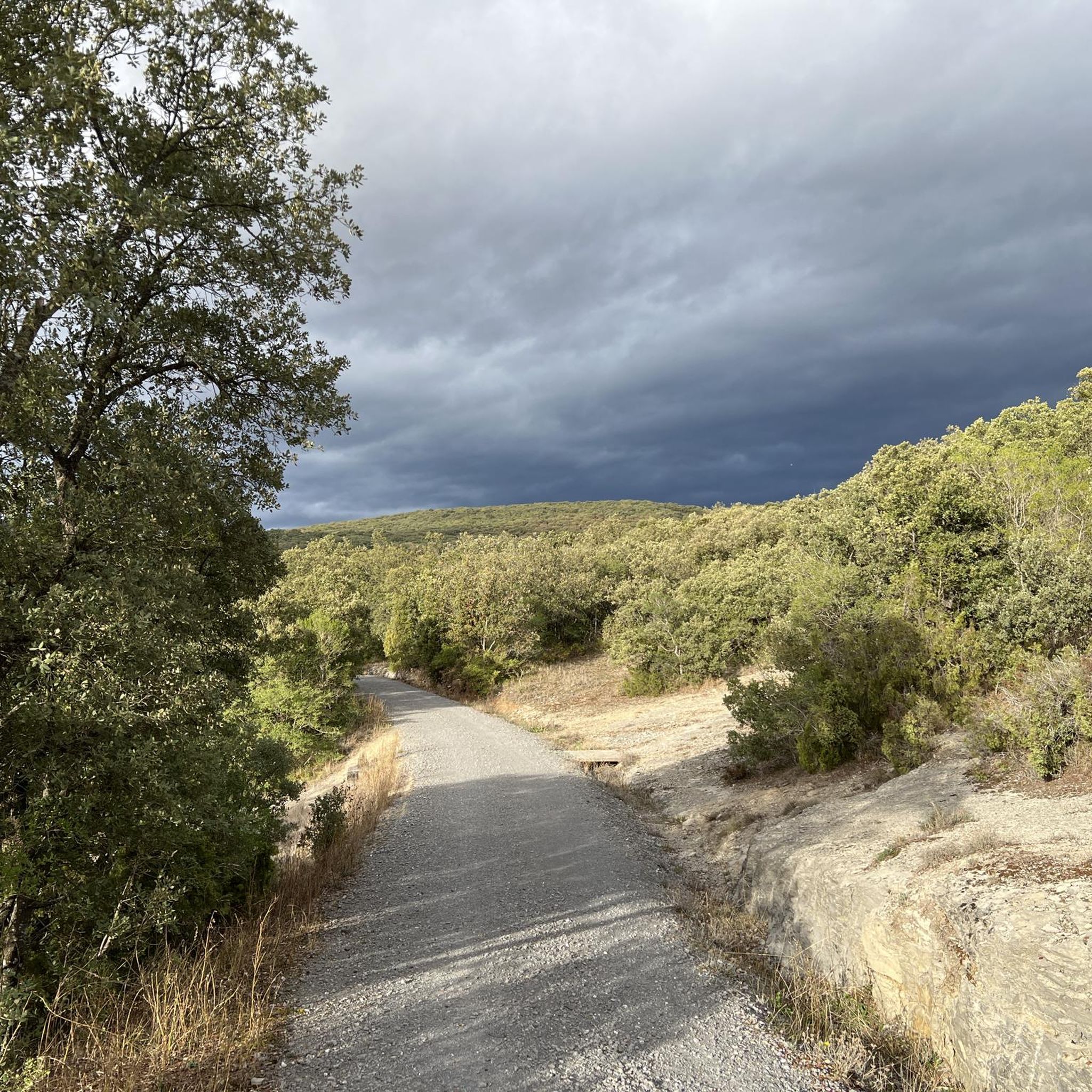
Hiking in Zadorra Ibaia Kbe/Zec Río Zadorra
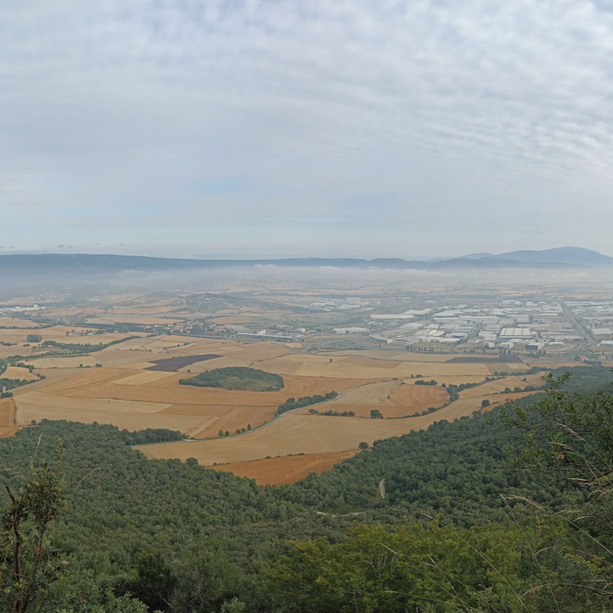
Hiking around Bosque de Armentia / Armentiako basoa
Hiking around Barrundia
Hiking in Ullibarri Urtegiko Adarrak/Colas Del Embalse De Ullíbarri
Other adventures around Llanada Alavesa


Tips from the Community

The last section has a lot of loose stones a very fun area especially when going down
0
0
very fun area, especially on the way down
0
0
very fun area especially on the descent 😁
0
0

Magnificent medieval building in the old town
0
0

A very simple and pleasant path.
1
0
A beautiful set of caves that, very rarely, have a waterfall with water.
0
0
Also known as "the new cathedral".
2
0

Cathedral in the heart of Vitoria. The tram runs right past it.
4
0
Frequently Asked Questions
What kind of terrain can I expect when hiking in Llanada Alavesa?
Llanada Alavesa offers a diverse range of terrain, from extensive plains to dramatic mountain ranges. You'll find prominent limestone massifs, extensive beech and oak forests, and significant wetland ecosystems. The region is bordered by the Aizkorri and Entzia ranges to the north, and the Central and Western Sierras to the south and west, providing varied landscapes for all types of hikers.
Are there many hiking trails available in Llanada Alavesa?
Yes, Llanada Alavesa boasts a comprehensive network of hiking trails. There are over 670 routes available, catering to various ability levels. Approximately 160 of these are easy, nearly 390 are moderate, and about 120 are considered difficult, ensuring options for everyone from beginners to experienced trekkers.
Are there any family-friendly hiking routes in Llanada Alavesa?
Absolutely. Many of the easy trails are suitable for families. For example, the Laberinto de Arno y Lazkueta — circular by the ZEC Entzia is an easy 3.5-mile circular path that winds through the Entzia Special Conservation Area, perfect for a family outing.
Can I find circular hiking routes in the region?
Yes, Llanada Alavesa features numerous circular routes. A popular option is the Peña Albeniz from Araia — circular through the Aizkorri-Aratz Natural Park, a moderate 6.5-mile trail offering varied mountain landscapes. Another is the Txandi, San Cristobal y Kapitate - circular route through the Entzia Special Conservation Area, a moderate 9.1-mile hike.
Are there any waterfalls or caves to explore on the trails?
Yes, water is a defining element of the region's natural beauty. You can visit impressive waterfalls like the Tobería Waterfalls, accessible via the Cascadas de la Toberia from Andoin route. The region also features natural caves, such as the Los Goros Caves, which can be explored on routes like the Los Goros Caves – Ganalto Summit Cross loop from Otogoien.
What kind of natural landmarks or viewpoints can I discover while hiking?
Llanada Alavesa offers numerous natural landmarks and panoramic viewpoints. You can find unique natural labyrinths like the Laberinto de Arno y Lazkueta. For expansive views, consider viewpoints such as Mirador de Opakua and Cruz de Mirutegi, which offer vistas of the cultivated plains, villages, the Ullíbarri-Gamboa reservoir, and distant natural parks. You can also visit the Undagana viewpoint or the Cruz de Urbina summit.
What do other hikers say about the trails in Llanada Alavesa?
The hiking routes in Llanada Alavesa are highly rated by the komoot community, with an average score of 4.6 stars from over 900 reviews. Hikers often praise the dramatic mountain scenery, serene plains, and diverse forest ecosystems, highlighting the well-maintained paths and the variety of options for different skill levels.
Are there any historical or cultural sites along the hiking trails?
Yes, the region is rich in history. Sections of the Camino de Santiago (the interior route) pass through Llanada Alavesa, as does the GR 38, known as the "Ruta del Vino y del Pescado." You can also discover ancient megalithic structures like the Cromlech de Mendiluze and the Dolmen de Sorginetxe. Additionally, some routes lead to churches with significant medieval paintings in Gazeo and Alaitza.
What is the best time of year to go hiking in Llanada Alavesa?
Llanada Alavesa offers hiking opportunities year-round. Spring and autumn are particularly pleasant for their mild temperatures and vibrant natural colors. Summer is ideal for higher altitude trails, while winter can offer unique experiences, especially in the snowy mountain ranges, though some trails might require appropriate gear.
Are there any trails that feature ancient oak forests?
Yes, the region is known for its 'island forests' of pedunculate oak, some of which are centenarian. There are specific routes dedicated to these ancient trees, notably in Munain, Galarreta, and Zalduondo, showcasing impressive examples of 'trasmochos' (pollarded trees) and their high biodiversity.
Is it possible to hike to high peaks in Llanada Alavesa?
Yes, the mountainous borders of Llanada Alavesa offer challenging ascents to high peaks. A notable difficult route is Aratz and the integral cordal of the Montes de Altzania — circular through the Aizkorri-Aratz Natural Park, a 7.6-mile path that explores the high peaks and dramatic terrain within the Aizkorri-Aratz Natural Park.
Are there any long-distance hiking routes that pass through Llanada Alavesa?
Yes, the GR 25 is a particularly notable 180-kilometer (approximately 112-mile) loop that winds through forests, scenic peaks, springs, and streams across the region. Additionally, sections of the Camino de Santiago and the GR 38 (Ruta del Vino y del Pescado) traverse the area, offering longer trekking opportunities.
Most popular routes around Llanada Alavesa
Most popular attractions around Llanada Alavesa

Get inspired with the komoot mobile app


Didn’t find what you were looking for?
Check out more Hikes throughout Llanada Alavesa below and find the perfect route in your destination.
Explore more
Browse the best Hikes in other regions.
