The 20 Most Amazing Peaks around Pallars Sobira
Mountain peaks around Pallars Sobira are situated in the Catalan Pyrenees, a region characterized by its high-altitude summits and protected natural environments. The area is home to Aigüestortes and Estany de Sant Maurici National Park and Alt Pirineu Natural Park. Many peaks in this county reach nearly 3,000 meters, offering varied experiences for outdoor enthusiasts. The landscape features glacial lakes, dense forests, and alpine meadows.
Best mountain peaks around Pallars Sobira
- The most popular mountain peaks is Pica d'Estats,…
Last updated: September 26, 2026
Coma Pedrosa Summit
Highlight • Summit
Showing Translation
Tip by

Pica d'Estats
Highlight • Summit
Showing Translation
Tip by

Sign up now to discover places like this
Get recommendations on the best single tracks, peaks, & plenty of other exciting outdoor places.
Port de Cabús
Highlight • Mountain Pass
Translated by Google •
Tip by

Monestero Pass
Highlight • Mountain Pass
Translated by Google •
Tip by

Pico de Amitges
Highlight • Summit
Translated by Google •
Tip by

Tuc del Rosari Summit
Highlight • Summit
Translated by Google •
Tip by
Pic de Sotllo (3073 m)
Highlight • Summit
Less well known than the Estats, but no less worthwhile.
Caution! From the French (northeast) side / Refuge du Pinet, the …
Translated by Google •
Tip by

Torreta del Orri
Highlight • Summit
Translated by Google •
Tip by
Port d'Aula
Highlight • Mountain Pass
Border between France and Spain between the regions of Ariege and Pallars Sobirá.
Going up the French side there is a cycle track to the top. A tough and very long climb that demands.
Translated by Google •
Tip by

View of the Baiau Lakes from Portella de Baiau
Highlight • Viewpoint
Translated by Google •
Tip by

Sign up for free to discover even more peaks around Pallars Sobira.
Already have an account?
Start today with a free account
Your next adventure awaits.
Popular around Pallars Sobira
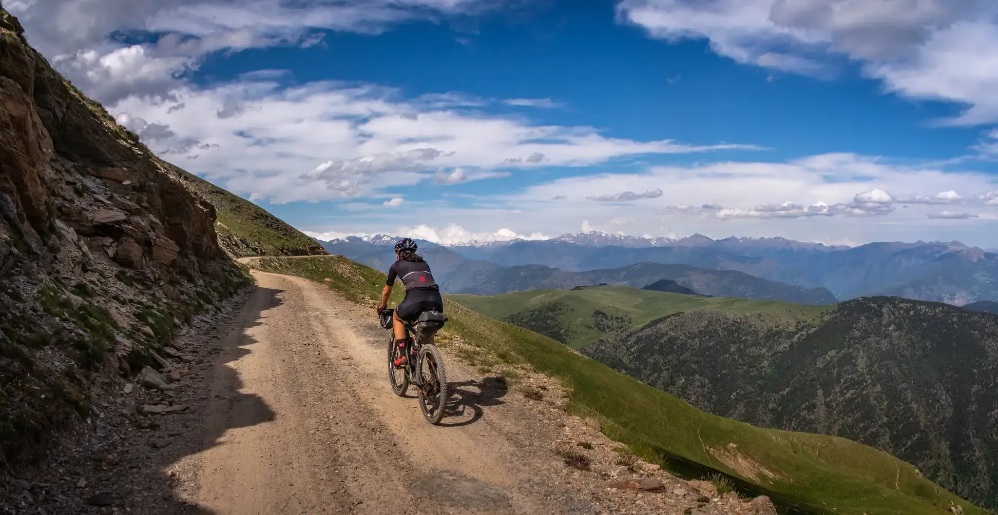
Pedals de Foc – An adventure through the Catalan Pyrenees

Road to Lisbon – bikepacking the Alps, Pyrenees and Picos de Europa

Haute Route Pyrénéenne – Pyrenees Crossing
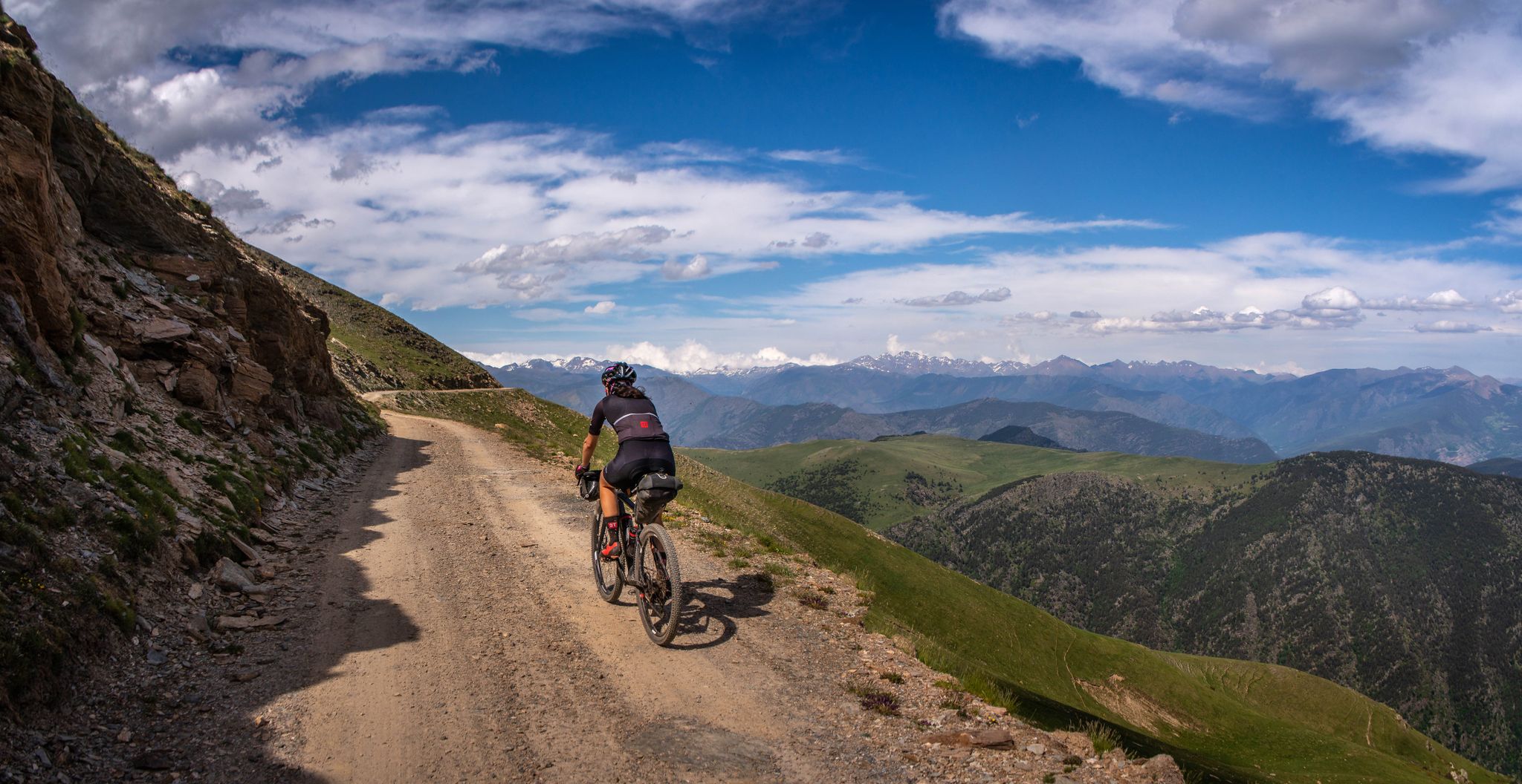
Bikepacking in the Catalan Pyrenees
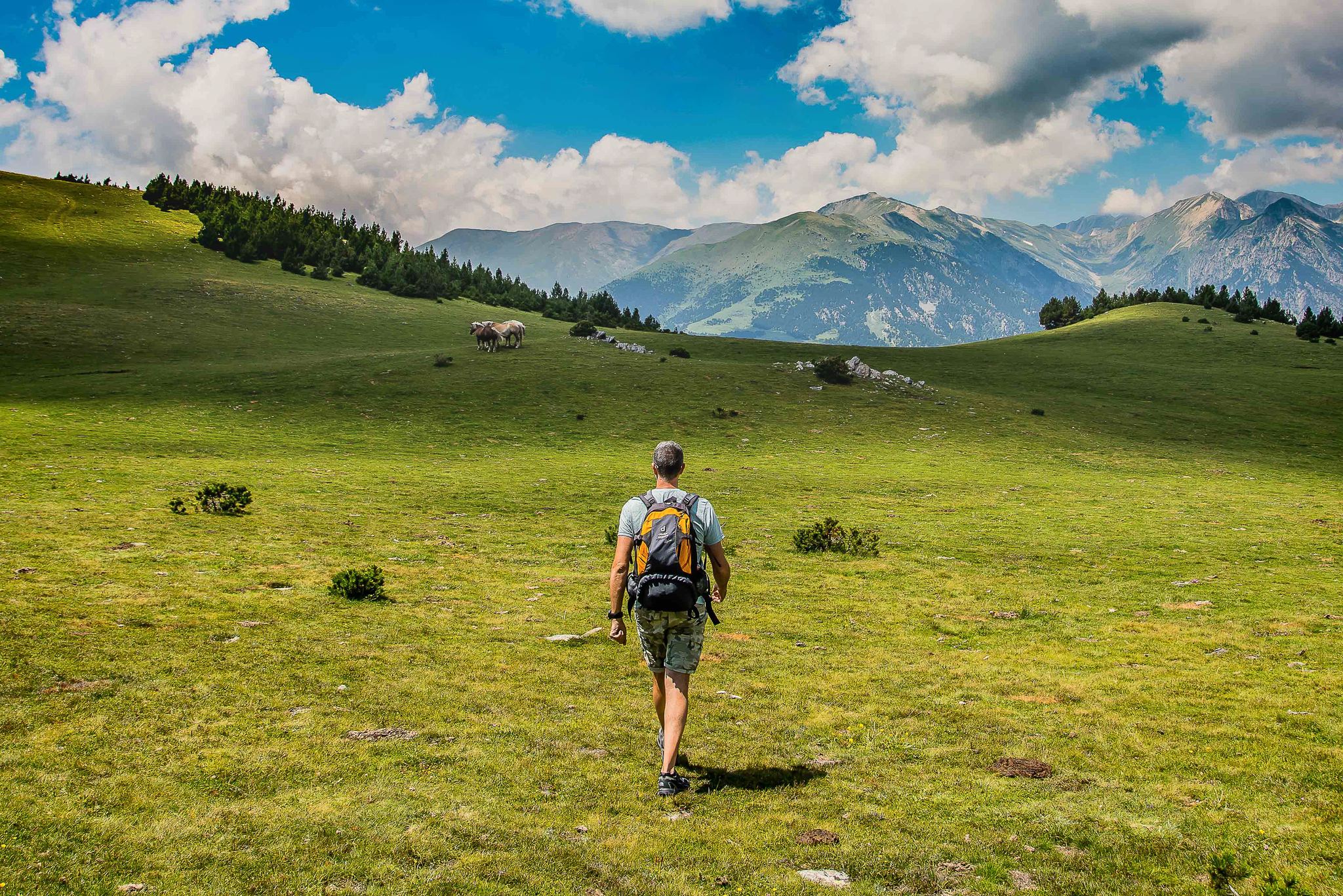
Epic journeys through the Pyrenees – 4 routes connecting 3 countries
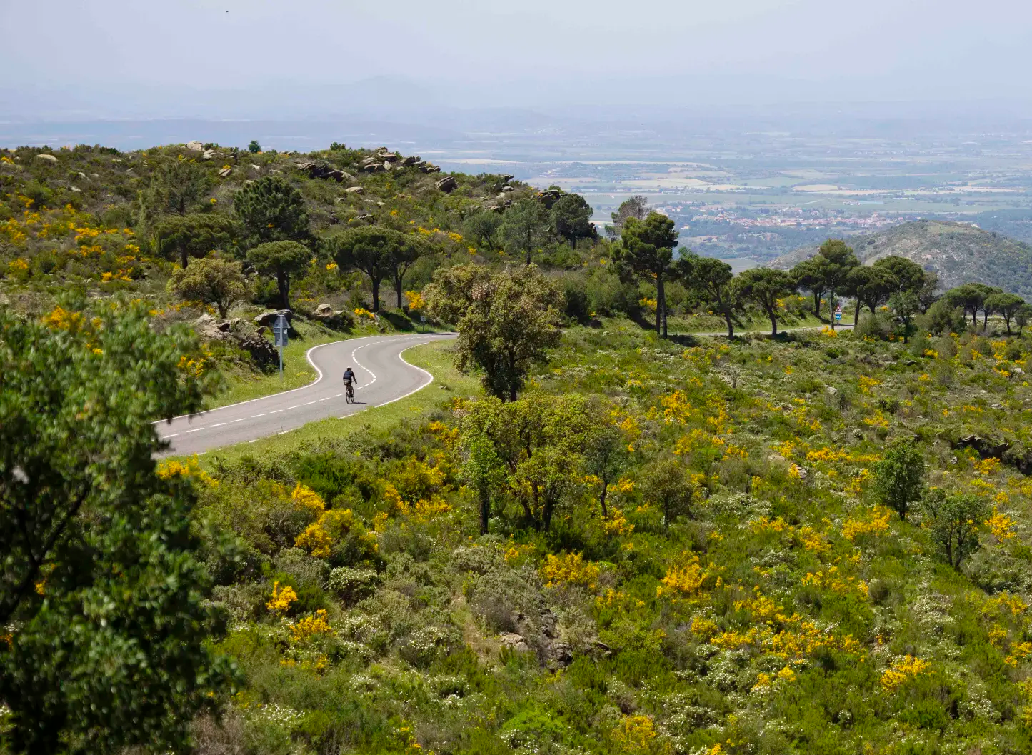
Ports and Roads — Catalonia on Wheels
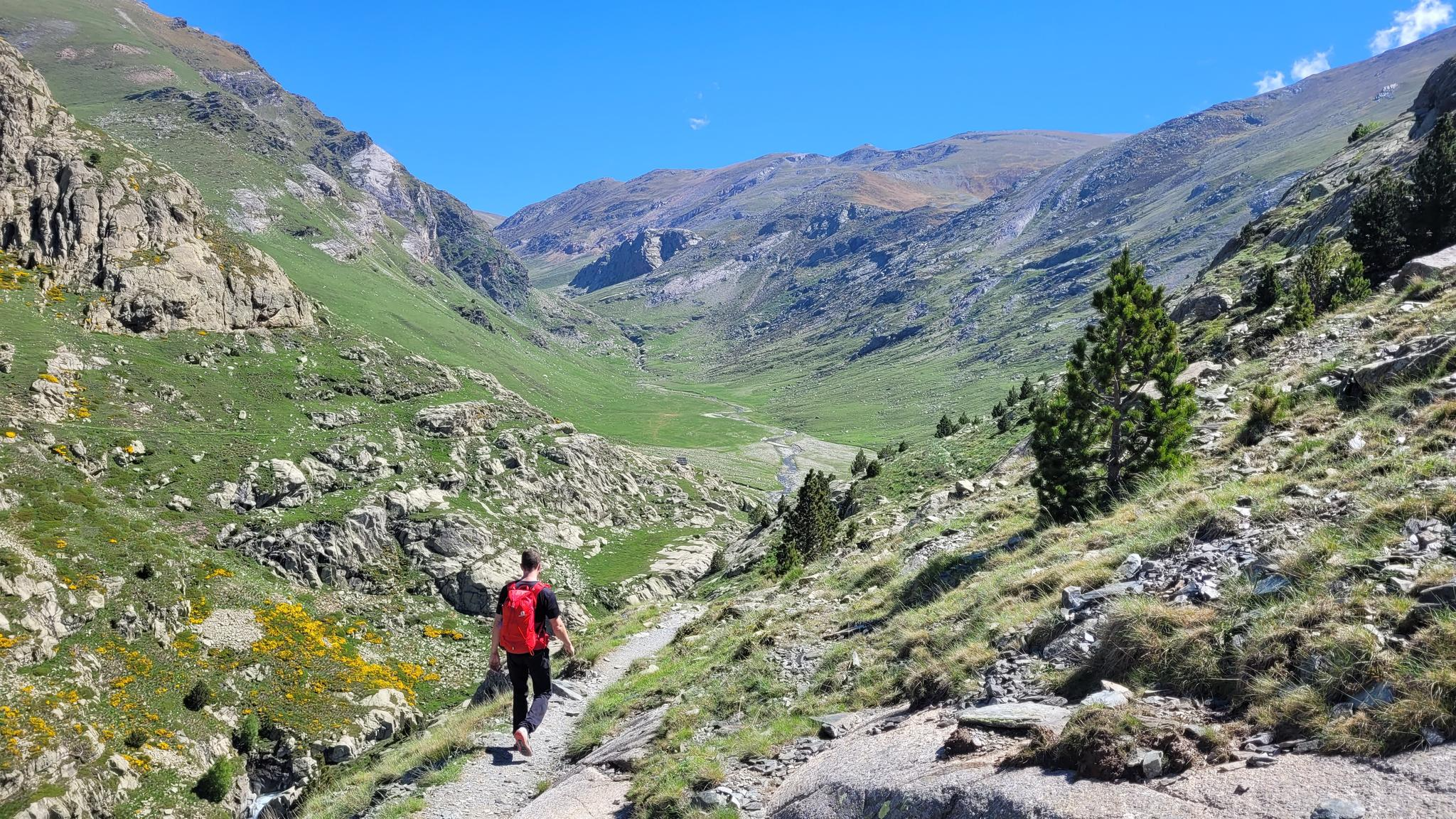
10 hikes with teenagers — Catalan paradises
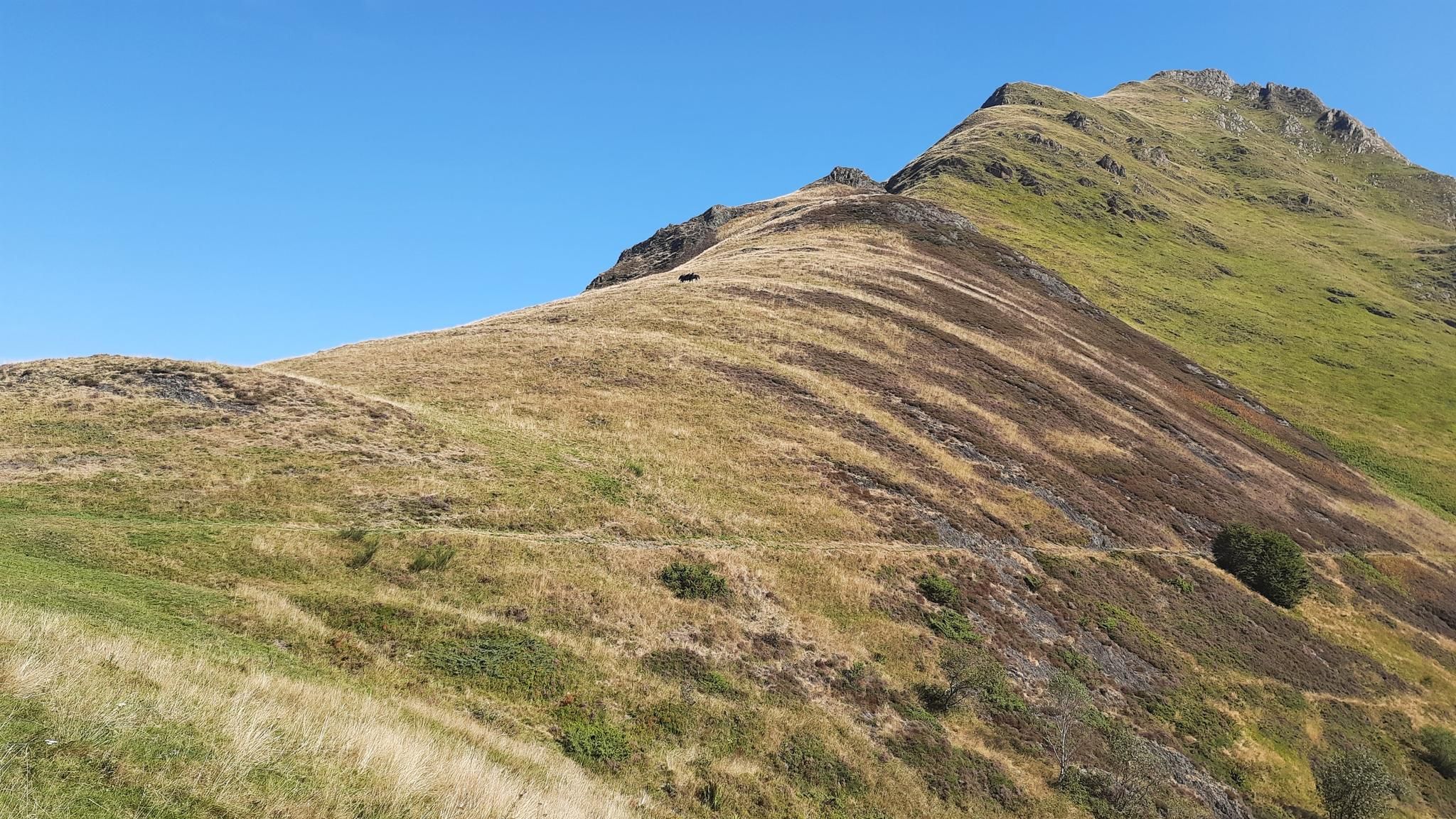
Tour of Mont Valier - The Giant of Ariège

On wild ridges: Catalonia to Ariège – Hexatrek, Eastern Pyrenees
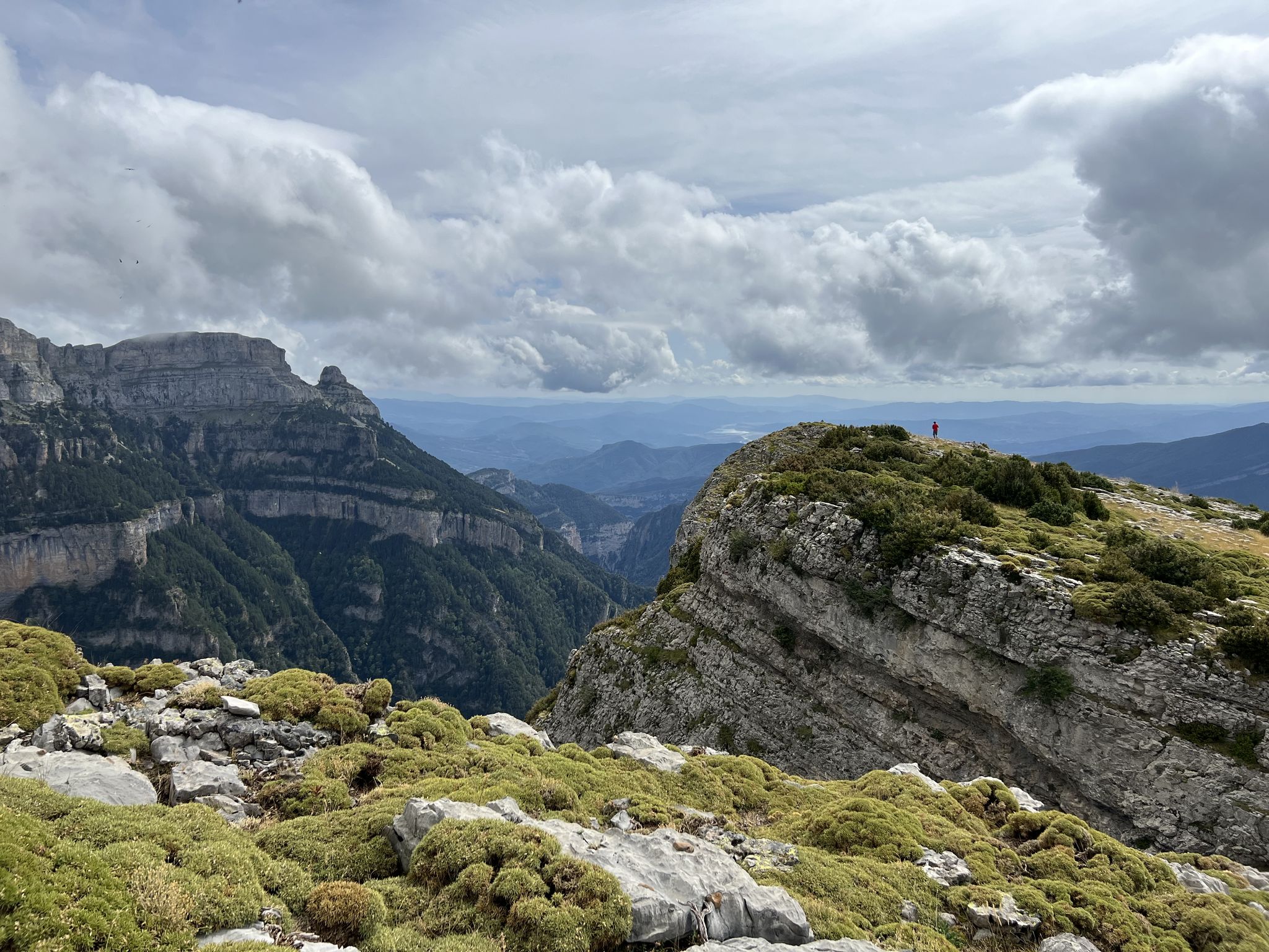
Summit conquests and idyllic mountain lakes – Spanish Pyrenees
Other adventures around Pallars Sobira


Tips from the Community

On a gravel bike with 45 mm tires, it's doable. A few steep sections, a few technical turns, but perfectly rideable.
0
0

The highest peak in the Catalan Pyrenees is well worth the visit, although you have to earn it as it is a long route with considerable elevation gain to overcome.
0
1

Absolutely incredible. Very demanding, but magnificent. For gravel, tubeless is highly recommended to lower tire pressure. I rode it up and down in 40mm sections, but I strongly recommend fitting 45mm tires to your bike.
2
0

Fantastic panoramic view all around, this summit is worth it, see my two panorama photos. Ascent from Estany de Sotllo via Pass. Took the partly exposed scrambling/climbing ridge via Pic Verdaguer. Nice scrambling, you just have to be careful to stay on the right track. Descent all around the summit, then to the same pass and down along the same beautiful mountain lakes and via Valferrera hut into the valley. The length and roughness of this path really surprised me. Luckily I didn't ascend from the hut. Especially the path along the mountainside, some way above the hut, was challenging. Again and again there are small counter-ascents over rocky tops and at some point I was on a side path below the main path, which then ended in bushes. After a short climb, everything went well again.
1
0

The Cabús Pass is a mountain pass that crosses the Pyrenees at 2,302 m above sea level. It is located on the border between Andorra and Spain, between the parish of La Massana and the municipality of Alins. Only the Andorran side is paved. From Alins, in the High Pyrenees, the climb is impressive and involves paths and trails that are not always in good condition.
0
0

Compared to Pica d'Estats, this is a lesser-known mountain, but its views, especially to the west, are outstanding and worth every meter of elevation gain. When ascending from the French side, there is easy climbing (T4+) below the summit. From the Spanish side, it appears easier if you don't take the path to Pica d'Estats, but instead take a path marked on the map further to the left.
1
0
The highest mountain in Andorra is feasible as a day trip from the country. However, one should be careful, some experienced hikers have already gotten lost. 😜 And the way to Spain or France is long... The easiest ascent is rated T3 according to the SAC scale. On the descent, I went a bit off the summit path in a northeastern direction and descended there. A bit more demanding (T4), but in this case, due to the scree in the upper part, it is easier to navigate on the descent. Here I saw some salamanders.
2
0
The summit can be reached from several sides. The direct route from the Spanish side to the summit ridge is demanding (I estimate T5 according to the SAC scale). However, you can "cheat" by first crossing to the north side via the pass, then you have to descend a bit and then you reach the path from the French side. The technically easiest ascent is certainly from the north via the Refuge du Pinet (T3). However, from the car park at L'Artigue, it is a total of around 2000 meters in altitude gain, which is why an overnight stay in the refuge is also a good idea (in October 2024, a winter room was open, €8 per night). I opted for the 3rd variant, from the Étang de Soulcem. From there, it is "only" 1500 meters in altitude gain with a difficulty of T3+/T4-. Although I chose a variant on the ascent (see my tour) that is not on the map and which I would rate as T4+.
3
0
Frequently Asked Questions
What are the most prominent mountain peaks in Pallars Sobirà?
Pallars Sobirà is home to several impressive peaks, including Pica d'Estats, which at 3,143 meters is the highest peak in Catalonia. Other notable summits include Pic de Certascan (2,853 m), Montsent de Pallars (2,883 m), and Tuc de Saburó (2,905.7 m). For extensive views and accessibility, Torreta del Orri (2,439 m) is also a popular choice, especially for winter sports.
What are the difficulty levels for hiking these peaks?
The difficulty levels vary significantly. Peaks like Pica d'Estats are considered moderately challenging due to significant elevation gain and often require a two-day ascent for a more enjoyable experience. Coma Pedrosa Summit also presents technical sections with loose rocks. Tuc de Saburó involves some mandatory scrambling. However, there are also easier options and routes suitable for various fitness levels, especially in the surrounding natural parks.
What natural features can I expect to see around the mountain peaks?
The region is rich in natural beauty, characterized by high-altitude summits, glacial lakes, dense forests, and alpine meadows. You'll find stunning glacial lakes like Estany d'Estats near Pica d'Estats and Certascan Lake, the largest glacial lake in the Pyrenees, near Pic de Certascan. The area is also part of the Aigüestortes and Estany de Sant Maurici National Park and Alt Pirineu Natural Park, offering protected environments with diverse flora and fauna.
Are there any family-friendly hiking options near the mountain peaks?
While many peaks are challenging, the natural parks surrounding them offer numerous family-friendly walks. For instance, the Easy hikes around Pallars Sobira guide features routes like the 'Bosc de Gerdar de Sorpe y Cascada de Gerber' or the 'Espot to Sant Maurici Trail', which are suitable for families looking for less strenuous options.
What is the best time of year to visit the mountain peaks in Pallars Sobirà?
The best time to visit for hiking and mountaineering is typically from late spring to early autumn (June to September) when the weather is more stable and trails are clear of snow. For winter sports, the season generally runs from December to April, with peaks like Torreta del Orri offering ski facilities.
What kind of panoramic views can I expect from the summits?
From most summits, you can expect breathtaking 360-degree panoramas of the Pyrenees. From Pica d'Estats, you can see the Certascan hut, Romedo Lakes, Mont Roig, and even the Maladeta massif on clear days. Pic del Orri offers extensive views across Pallars, including Pica d'Estats, Cadí, and the mountains of Montserrat.
What outdoor activities can I do near these mountain peaks besides hiking?
Beyond hiking, the region offers a variety of outdoor activities. You can explore road cycling routes, with options like the 'Port del Cantó and Port Ainé Loop' or 'Vallferrera and Cardós Valleys' detailed in the Road Cycling Routes around Pallars Sobira guide. The area also provides opportunities for mountaineering, trail running, and in winter, skiing at places like Port Ainé.
Are there any historical or cultural landmarks associated with these peaks?
While the focus is primarily on natural beauty, some peaks have historical significance. Pic de Certascan is part of 'Muntanyes de Llibertat,' a historical cross-border route. The region itself, Pallars Sobirà, has a rich history, and its traditional villages offer a glimpse into local culture. For more general information about the region, you can visit Visit Pirineus.
Where can I find information on hiking routes to specific peaks?
Komoot offers detailed guides for various hiking experiences. For general hiking around the region, refer to the Hiking around Pallars Sobira guide, which includes routes like 'Pica d'Estats via Vallferrera Trail' and circular routes around Estany de Sant Maurici.
What makes Montsent de Pallars unique among the peaks?
Montsent de Pallars (2,883 m) offers a striking duality in its landscape. Its western side features abrupt and rocky walls overlooking the Vall Fosca, while its eastern side reveals gentle, expansive alpine meadows of the Vall d'Àssua. It's also included in the FEEC 100 Cims Challenge (100 Summits Challenge), making it a goal for many mountaineers.
Is Tuc de Saburó a popular peak, and what are its characteristics?
Tuc de Saburó (2,905.7 m), located in the Aigüestortes i Estany de Sant Maurici National Park, is a significant peak offering a challenging and rewarding ascent. While not as frequently visited as some other peaks, it provides extensive panoramic views of surrounding lake basins. The final section involves some scrambling, but it's generally accessible for experienced hikers without ropes.
What is the significance of Port de Cabús?
Port de Cabús is a mountain pass that offers spectacular panoramic views of Andorra and the surrounding Pyrenees. It's notable for being on the border between Andorra and Spain, with the Andorran side being fully paved, contrasting with the very poor road quality on the Spanish side.
Most popular routes around Pallars Sobira
Most popular attractions around Pallars Sobira

Get inspired with the komoot mobile app


Didn’t find what you were looking for?
Discover Pallars Sobira’s best peaks and summits by region:
Explore more
See even more amazing summits around Pallars Sobira with these guides:
