The best mountain hikes around Cerdanya
4.7
(14)
115
hikers
23
hikes
Mountaineering routes around Cerdanya traverse a wide, east-west oriented tectonic valley in the Pyrenees, surrounded by mountains exceeding 2,900 meters. The region features diverse environments, including alpine meadows, sub-Mediterranean woods, beech forests, and boreal woodlands. Numerous glacial lakes and imposing limestone faces, particularly within the Cadí-Moixeró Natural Park, define the landscape, with the Segre River meandering through the valley.
Best mountaineering routes around Cerdanya
- The most popular mountaineering route is First Lake – Collada dels Pessons loop from Grau Roig…
Last updated: July 1, 2026
5.0
(2)
19
hikers
8.98km
04:17
870m
870m
Hard mountaineering route. Good fitness required. Sure-footedness, sturdy shoes and alpine experience required.
14
hikers
7.80km
03:13
630m
630m
Moderate mountaineering route. Good fitness required. Easily-accessible paths. Suitable for all skill levels.

Sign up for free
9
hikers
12.0km
04:55
800m
800m
Moderate mountaineering route. Good fitness required. Mostly accessible paths. Sure-footedness required.
5.0
(1)
9
hikers
11.5km
04:46
920m
920m
Hard mountaineering route. Very good fitness required. Easily-accessible paths. Suitable for all skill levels.
5.0
(2)
9
hikers
8.03km
02:54
260m
260m
Moderate mountaineering route. Good fitness required. Mostly accessible paths. Sure-footedness required.
5.0
(1)
6
hikers
19.2km
08:34
1,270m
1,270m
Hard mountaineering route. Very good fitness required. Sure-footedness, sturdy shoes and alpine experience required.
7
hikers
17.1km
07:38
1,190m
1,190m
Hard mountaineering route. Very good fitness required. Sure-footedness, sturdy shoes and alpine experience required.
7
hikers
17.4km
07:10
1,130m
1,130m
Hard mountaineering route. Very good fitness required. Mostly accessible paths. Sure-footedness required.
3.0
(1)
3
hikers
5.45km
01:34
140m
140m
Easy mountaineering route. Great for any fitness level. Easily-accessible paths. Suitable for all skill levels.
5
hikers
11.1km
03:31
370m
370m
Hard mountaineering route. Good fitness required. Sure-footedness, sturdy shoes and alpine experience required.
Get access to more routes and recommendations from other explorers.
Sign up for free
Already have an account?
Our route recommendations are based on thousands of hikes, rides, and runs completed by other people on komoot.
Start today with a free account
Your next adventure awaits.
Login or Signup
Popular around Cerdanya
Mountain Hikes around Llívia

Mountain Hikes around Meranges

Mountain Hikes around Guils De Cerdanya

Mountain Hikes around Ger

Mountain Hikes around Alp
Ports and Roads — Catalonia on Wheels
The shepherds' path – Camí Ramader de la Marina
Hike with your family in Catalonia

Catalonia and Andorra on the Pyrenean Trail – GR 11
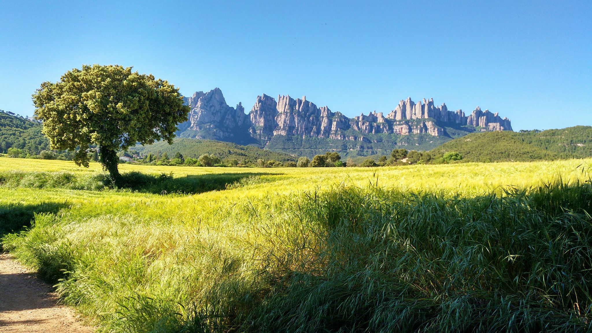
On foot from France to Montserrat – GR 4
Other adventures around Cerdanya


Tips from the Community

After the ascent from the ski stations in the valley of the first of many lakes on this circular hike
1
0

only for experienced hikers Sure-footedness absolutely required fantastic view from the top in good weather not overcrowded
0
0

At the top but at the end the loop back on the left side at the level of the waterfall is not accessible in late spring because there is still too much snow, you will have to go through the other side.
0
0

A free mountain refuge nestled among black pine forests and high meadows, with sweeping views of the Segre Valley. It's a peaceful spot, ideal for sheltering from the wind or taking a break on routes that connect to Cap del Rec or Tossa Plana. The surroundings retain the pure silence of the upper Cerdanya region. By mountain bike, the final approach is via a stony track with a slight incline; it's advisable to lower the saddle and maintain control on the subsequent descent, as ruts and loose stones can be treacherous if you're riding too fast.
0
0
Located at an altitude of 1,960 meters, this refuge is a key point for cyclists and hikers heading towards the Tossa Plana de Lles or the Nordic ski slopes. The refuge combines a mountain atmosphere with comfortable amenities: a bar, a dining room, and a terrace with open views of the Cadí mountain range. It's a good place to stop, have a hot meal, or adjust your bike before continuing the climb. For mountain biking, the track from Lles has an uneven surface and rocky sections; tires with good grip are recommended, as is maintaining a constant cadence, especially on the final bends where the gradient is noticeable.
0
0

There is a bar and restaurant next to the lake. Perfect for a stop.
1
0

A superb lake reflecting the neighboring peaks. The morning light amplifies this mirror effect.
0
0
Frequently Asked Questions
Are there mountaineering routes in Cerdanya suitable for beginners or families?
Yes, Cerdanya offers a range of mountaineering routes, including some suitable for beginners and families. For an easier experience, consider the Dolmen de lo Pou – Dolmen d'Els Pascarets loop from Eyne, which is rated as easy and covers about 5.5 km. While many routes are challenging, the region's diverse terrain means there are options for less experienced mountaineers to enjoy the stunning Pyrenean landscape.
What is the best time of year for mountaineering in Cerdanya?
Cerdanya is known for its generally sunny climate, with around 360 days of sunshine a year, making it an attractive destination almost year-round. However, for mountaineering, the late spring, summer, and early autumn months (typically June to October) offer the most favorable conditions, with less snow at higher altitudes and more stable weather. Winter mountaineering is possible but requires specialized equipment and experience due to snow and ice.
Are there any circular mountaineering routes in Cerdanya?
Yes, many of the mountaineering routes in Cerdanya are designed as loops, allowing you to return to your starting point without retracing your steps. Examples include the challenging First Lake – Collada dels Pessons loop from Grau Roig or the moderate Montmalús – Collada de Montmalús loop from Grau Roig. These circular paths offer varied scenery throughout your journey.
What kind of natural features and landscapes can I expect to see on Cerdanya's mountaineering routes?
Cerdanya's mountaineering routes traverse a remarkably diverse landscape. You'll encounter alpine meadows, sub-Mediterranean woods, beech forests, and boreal woodlands of Scots pines. A prominent feature of the Eastern Pyrenees section of Cerdanya is the numerous glacial lakes. The imposing limestone faces of the Cadí-Moixeró Natural Park and the meandering Segre River also contribute to the picturesque setting.
Are dogs allowed on mountaineering trails in Cerdanya, and are there any specific regulations?
While specific regulations can vary by area, especially within protected zones like the Cadí-Moixeró Natural Park, many trails in Cerdanya are generally dog-friendly. It's always recommended to keep dogs on a leash, especially in areas with livestock or wildlife, and to clean up after them. Always check local signage or park authority websites for the most current rules regarding pets in specific areas you plan to visit.
Are there mountain refuges available along the mountaineering routes in Cerdanya?
Yes, Cerdanya has a network of mountain refuges that are essential for multi-day treks or as rest stops on longer routes. Notable refuges include the Niu de l'Àliga Refuge, situated at 2,510 meters, and the Malniu Mountain Hut, located near the Malniu ponds. These refuges provide shelter and a place to rest, facilitating more ambitious expeditions into the high mountains.
What are some notable peaks or summits I can reach through mountaineering in Cerdanya?
Cerdanya offers access to several significant peaks. Puigpedrós, at 2,914 meters, is the highest peak in the Catalan Cerdanya, offering expansive panoramic views. Puigmal, exceeding 2,900 meters, is another frequented summit, accessible via routes like the Puigmal loop from Cotzé. Penyes Altes del Moixeró (2,276m) also provides fantastic views without major technical difficulty, and can be explored on the Penyes Altes del Moixeró loop from Gréixer.
How long do mountaineering routes in Cerdanya typically take to complete?
The duration of mountaineering routes in Cerdanya varies significantly based on distance, elevation gain, and difficulty. For instance, a moderate route like the Montmalús – Collada de Montmalús loop can take around 3 hours 12 minutes, while more challenging routes such as the Tossa Plana de Lles – Tosseta de Vallcivera loop might require over 6 hours 50 minutes. Always check the estimated duration for your chosen route and factor in your own pace and breaks.
Are there any specific permits or regulations for mountaineering in the Cadí-Moixeró Natural Park?
The Cadí-Moixeró Natural Park is a protected area, and while general access for hiking is usually permitted, certain activities or areas might have specific regulations. It's always advisable to check the official park website or visitor centers for any required permits, restrictions on camping, or specific rules regarding group sizes, especially if you plan to undertake multi-day expeditions or access sensitive ecological zones.
What do other mountaineers enjoy most about the routes in Cerdanya?
The mountaineering routes in Cerdanya are highly rated by the komoot community, with an average score of 4.8 stars from over 20 reviews. Mountaineers frequently praise the stunning panoramic views, the diverse terrain ranging from alpine meadows to glacial lakes, and the sense of challenge offered by the high mountain peaks. The well-maintained trails and the network of refuges also contribute to a positive experience.
Are there any routes that offer particularly good scenic viewpoints?
Many routes in Cerdanya offer spectacular scenic viewpoints due to the region's high mountain terrain. For instance, the ascent of Puigpedrós provides expansive panoramic views stretching from Canigó to Aneto. Routes that lead to summits or high passes, such as the Sheepfold of the Jasse d'Amunt – Peak of the Moors loop from Pic de la Calma, are excellent choices for breathtaking vistas of the Pyrenean landscape.
Most popular routes around Cerdanya
Most popular attractions around Cerdanya

Get inspired with the komoot mobile app


Didn’t find what you were looking for?
Check out more Mountain Hikes & Routes throughout Cerdanya below and find the perfect route in your destination.
Explore more
Browse the best Mountain Hikes & Routes in other regions.
