The best walks and hikes around Campos-Pan
4.4
(64)
585
hikers
69
hikes
Hiking around Campos-Pan reveals a landscape characterized by natural reserves, river valleys, and reservoirs. The terrain includes flat paths around lagoons, gentle ascents along riverbanks, and some forested areas. This area offers a mix of wetland environments and open countryside, with routes often featuring water bodies and local historical sites.
Best hiking trails around Campos-Pan
- The most popular hiking route is Laguna Salina Grande — return via the Villafáfila Lagoons Natural Reserve, a 6.3 miles (10.2 km) trail that…
Last updated: August 17, 2026
4.0
(1)
13
hikers
Moderate hike. Good fitness required. Easily-accessible paths. Suitable for all skill levels.
5.0
(4)
10
hikers
Moderate hike. Good fitness required. Easily-accessible paths. Suitable for all skill levels.

Sign up for free
5.0
(1)
8
hikers
Easy hike. Great for any fitness level. Easily-accessible paths. Suitable for all skill levels.
4
hikers
Easy hike. Great for any fitness level. Easily-accessible paths. Suitable for all skill levels.
3
hikers
Easy hike. Great for any fitness level. Easily-accessible paths. Suitable for all skill levels.
2
hikers
Moderate hike. Good fitness required. Easily-accessible paths. Suitable for all skill levels.
1
hikers
Easy hike. Great for any fitness level. Easily-accessible paths. Suitable for all skill levels.
Moderate hike. Good fitness required. Easily-accessible paths. Suitable for all skill levels.
21.0km
05:34
210m
210m
Hike the difficult 13.1-mile Puente de La Encomienda circular route from Montamarta, featuring the Esla River, Ricobayo reservoir, and Ermit
Hard hike. Very good fitness required. Easily-accessible paths. Suitable for all skill levels.
Get access to more routes and recommendations from other explorers.
Sign up for free
Already have an account?
Our route recommendations are based on thousands of hikes, rides, and runs completed by other people on komoot.
Start today with a free account
Your next adventure awaits.
Login or Signup
Popular around Campos-Pan
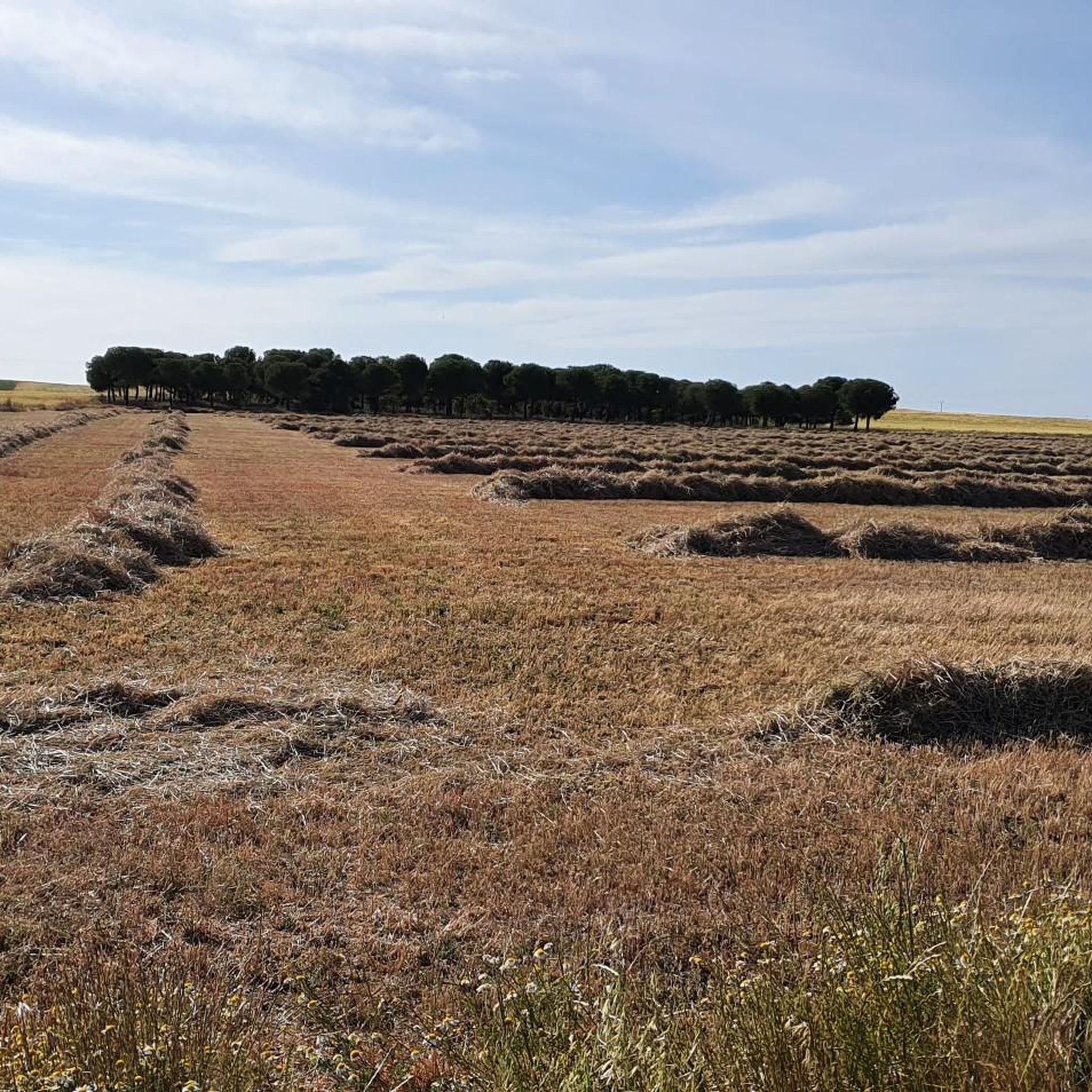
Hiking in Reserva Natural De Las Lagunas De Villafáfila

Hiking around Manganeses De La Lampreana

Hiking around Villafáfila

Hiking around Muelas Del Pan
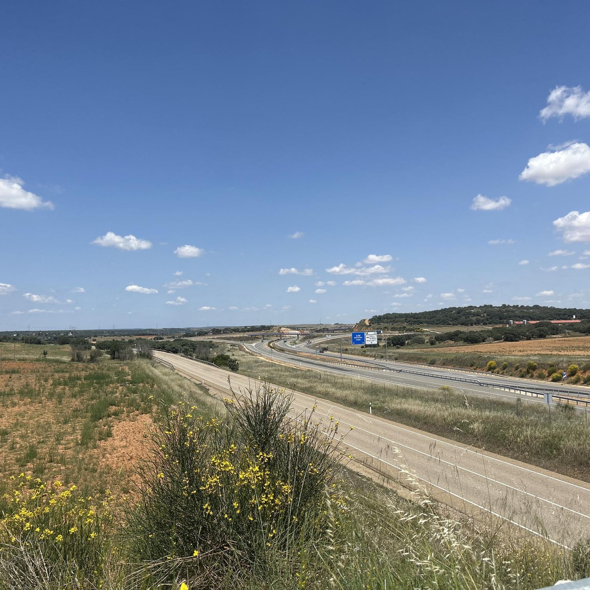
Hiking around San Cebrián De Castro

Hiking around Pajares De La Lampreana
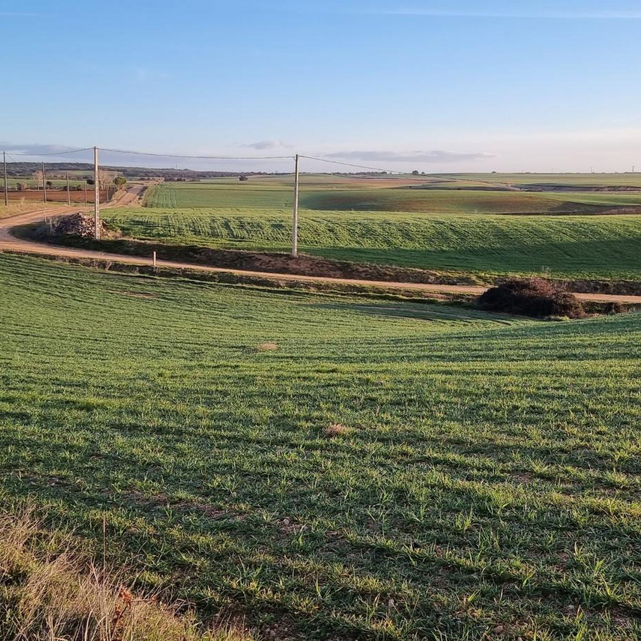
Hiking around Villarrín De Campos

Hiking around Revellinos
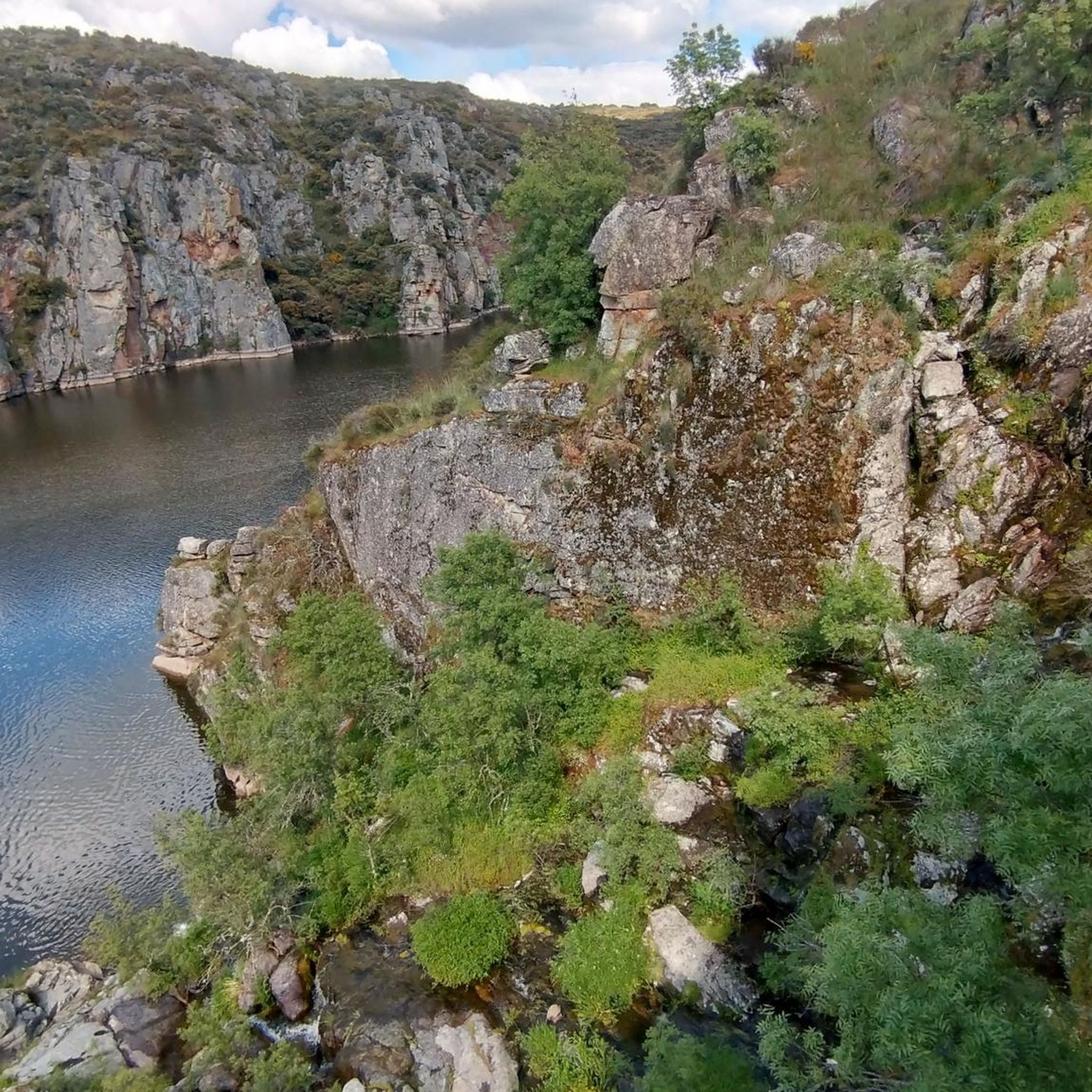
Hiking around Villaseco Del Pan
Hiking around San Pedro De La Nave-Almendra
Other adventures around Campos-Pan


Tips from the Community

The Ricobayo Reservoir, also known as Salto de Ricobayo or Embalse del Esla, is an impressive hydroelectric engineering project located on the Esla River, less than 1 km from Ricobayo de Alba, in the municipality of Muelas del Pan. The reservoir is located in the area known as the Arribes del Esla, a deep geographic depression with spectacular landscapes.
1
0
Although not officially called the "Ribadelago Dam," the Ricobayo Dam is the most prominent dam in Muelas del Pan and is part of the Esla River hydroelectric system. The dam connects Ricobayo and Muelas del Pan, and its construction completely transformed the local landscape, even forcing the relocation of the Visigothic church of San Pedro de la Nave.
1
0
The Cadozos Waterfall, located in Muelas del Pan (Zamora), is a little-known but very special natural spot, ideal for hiking and nature lovers. It's a seasonal waterfall, meaning its flow depends on rainfall, being most spectacular in spring or after days of heavy rain.
1
0

A beautiful square. It gets really busy from 8 p.m. onwards, when the Spanish nightlife begins.
3
0

Visigothic church (7th century) of San Pedro de la Nave. It originally stood on the banks of the Esla River, but the construction of the Ricobayo reservoir threatened to flood it. Historian Manuel Gómez Moreno managed to have it dismantled from its original location and moved stone by stone between 1930 and 1932 to the nearest town: El Campillo, where it can be seen today.
0
0
This bridge was built following the construction of the Ricobayo Reservoir.
0
0
It is the largest lagoon in the Lagunas de Villafáfila Nature Reserve.
1
0
The Roman Bridge of Villarigo is located east of Villafáfila, near Laguna Salina Grande and Laguna el Puente. This bridge, dating from the High Roman Empire (27 BC - 305 AD), has three arches of unequal size, with the central arch twice the size of the side arches. Although it has been extensively rebuilt, it retains its original structure with strong ashlar voussoirs. The bridge was part of a network of Roman roads that connected various settlements and facilitated crossing the Villafáfila lagoons. Today, the bridge is a point of historical and architectural interest in the region.
3
0
Frequently Asked Questions
What kind of terrain can I expect when hiking around Campos-Pan?
Hiking around Campos-Pan offers a diverse landscape characterized by natural reserves, river valleys, and reservoirs. You'll find flat paths around lagoons, gentle ascents along riverbanks, and some forested areas. The region is known for its wetland environments and open countryside, with many routes featuring water bodies and local historical sites.
Are there any easy hiking trails suitable for beginners or families in Campos-Pan?
Yes, Campos-Pan offers a good selection of easy trails. Approximately half of the 46 available routes are rated as easy. A great option for families or beginners is the Zamora city tour — circular from the sports city by the Castle and the Walls of Zamora, an easy 2.9-mile (4.6 km) trail that takes about 1 hour 15 minutes and explores urban and historical landmarks.
Can I find trails with waterfalls in the Campos-Pan area?
Yes, there is at least one notable trail featuring a waterfall. Consider the Route of the Perones and Cadozos waterfall — circular from Ricobayo de Alba. This moderate 4.8-mile (7.8 km) path offers a scenic circular journey and includes a beautiful waterfall.
Are there any circular hiking routes available in Campos-Pan?
Many of the trails in Campos-Pan are circular, offering convenient starting and ending points. For example, the Aceñas de Olivares from Playa de los Pelambres – circular by the Río Duero is an easy 4-mile (6.5 km) loop along the river. Another option is the Bosque de Valorio y Aceñas de Olivares — circular in Zamora via the Puente de Piedra, an easy 4.5-mile (7.3 km) route.
What kind of natural features or landmarks can I see along the hiking trails?
The hiking trails in Campos-Pan often feature significant natural and historical landmarks. You can explore the Castle of Zamora, walk across the historic Zamora Stone Bridge, or visit the impressive Zamora Cathedral (Catedral de San Salvador). The region is also known for its lagoons, such as those found in the Villafáfila Lagoons Natural Reserve.
What do other hikers say about the trails in Campos-Pan?
The trails in Campos-Pan are highly regarded by the komoot community, with an average rating of 4.6 stars from nearly 20 reviews. Hikers often praise the diverse scenery, including lagoons, riverbanks, and forested areas, and appreciate the variety of routes available for different skill levels.
Are there any challenging hikes for experienced hikers in Campos-Pan?
While the majority of trails are easy to moderate, Campos-Pan does offer a few challenging options for experienced hikers. There are 2 difficult routes among the 46 available. One such demanding route is the Puente de Valdelasmozas from El Campillo – circular via Almendra and Andavías, which spans over 15.7 miles (25.3 km) with significant elevation changes.
What is the best time of year to go hiking in Campos-Pan?
Based on the region's characteristics, which include dry winters and wet summers in similar 'Campos' ecoregions, the shoulder seasons (spring and autumn) are generally ideal for hiking in Campos-Pan. These times offer pleasant temperatures and less extreme weather, making for more comfortable exploration of the wetlands, riverbanks, and historical sites.
Are there any trails that explore the Villafáfila Lagoons Natural Reserve?
Yes, the Villafáfila Lagoons Natural Reserve is a prominent feature in the region. You can explore it on the Laguna Salina Grande — return via the Villafáfila Lagoons Natural Reserve trail. This moderate 6.3-mile (10.2 km) route takes about 2 hours 34 minutes and offers a great way to experience the reserve's unique wetland environment.
How many hiking routes are available in total for Campos-Pan?
There are 46 hiking routes available in the Campos-Pan area. These routes cater to various skill levels, with 23 easy, 21 moderate, and 2 difficult trails to choose from.
Are there any historical sites or castles accessible via hiking trails?
Yes, several trails incorporate historical sites. For instance, the Castle of Castrotorafe - round trip via the Silver Way from Fontanillas de Castro is an easy 3.8-mile (6 km) route that leads to the Castrotorafe Castle (Ruins). The Zamora city tour also passes by the Castle of Zamora and its ancient walls.
Most popular routes around Campos-Pan
Most popular attractions around Campos-Pan

Get inspired with the komoot mobile app


Didn’t find what you were looking for?
Check out more Hikes throughout Campos-Pan below and find the perfect route in your destination.
Explore more
Browse the best Hikes in other regions.
