The best mountain hikes around Segovia
4.9
(8)
160
hikers
21
hikes
Mountaineering routes around Segovia are primarily found within the Sierra de Guadarrama National Park, a significant mountain range characterized by granite formations, pine forests, and alpine meadows. The region features elevations up to 2,428 meters at Peñalara, offering diverse terrain for various skill levels. Glacial lagoons and river valleys also contribute to the varied landscape, providing a rich environment for outdoor activities.
Best mountaineering routes around Segovia
- The most popular mountaineering route is Cotos Pass – Peñalara Summit loop from…
Last updated: August 21, 2026
5.0
(2)
40
hikers
11.0km
04:36
570m
570m
Hard mountaineering route. Good fitness required. Sure-footedness, sturdy shoes and alpine experience required.
5.0
(1)
39
hikers
11.0km
04:36
570m
570m
Hard mountaineering route. Good fitness required. Sure-footedness, sturdy shoes and alpine experience required.

Sign up for free
5.0
(1)
17
hikers
11.3km
05:35
740m
740m
Hard mountaineering route. Very good fitness required. Sure-footedness, sturdy shoes and alpine experience required.
5.0
(1)
17
hikers
Moderate mountaineering route. Good fitness required. Mostly accessible paths. Sure-footedness required.
5.0
(1)
8
hikers
14.6km
06:29
810m
810m
Hard mountaineering route. Very good fitness required. Sure-footedness, sturdy shoes and alpine experience required.
5.0
(1)
7
hikers
7.75km
03:17
430m
430m
Moderate mountaineering route. Good fitness required. Mostly accessible paths. Sure-footedness required.
4.0
(1)
2
hikers
12.4km
05:36
780m
780m
Hard mountaineering route. Very good fitness required. Sure-footedness, sturdy shoes and alpine experience required.
7
hikers
10.1km
04:49
770m
770m
Hard mountaineering route. Good fitness required. Sure-footedness, sturdy shoes and alpine experience required.
5
hikers
8.86km
03:52
630m
630m
Moderate mountaineering route. Good fitness required. Mostly accessible paths. Sure-footedness required.
7
hikers
15.4km
06:06
700m
700m
Hard mountaineering route. Very good fitness required. Mostly accessible paths. Sure-footedness required.
Get access to more routes and recommendations from other explorers.
Sign up for free
Already have an account?
Our route recommendations are based on thousands of hikes, rides, and runs completed by other people on komoot.
Start today with a free account
Your next adventure awaits.
Login or Signup
Popular around Segovia

Mountain Hikes in Sierra Norte De Guadarrama
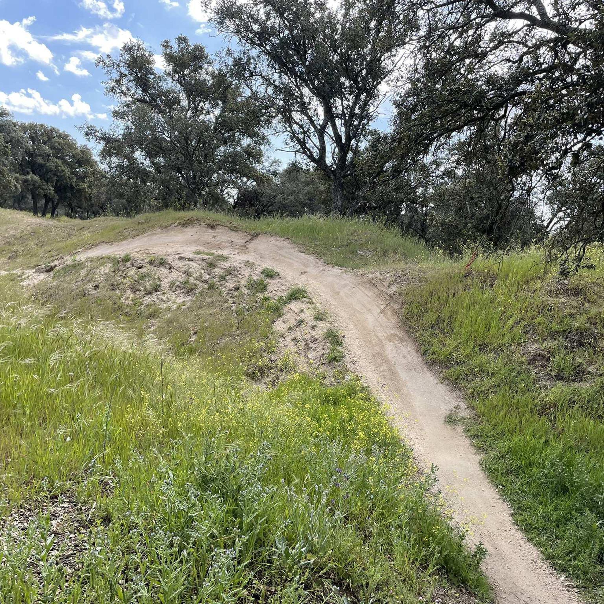
Mountain Hikes around Real Sitio De San Ildefonso
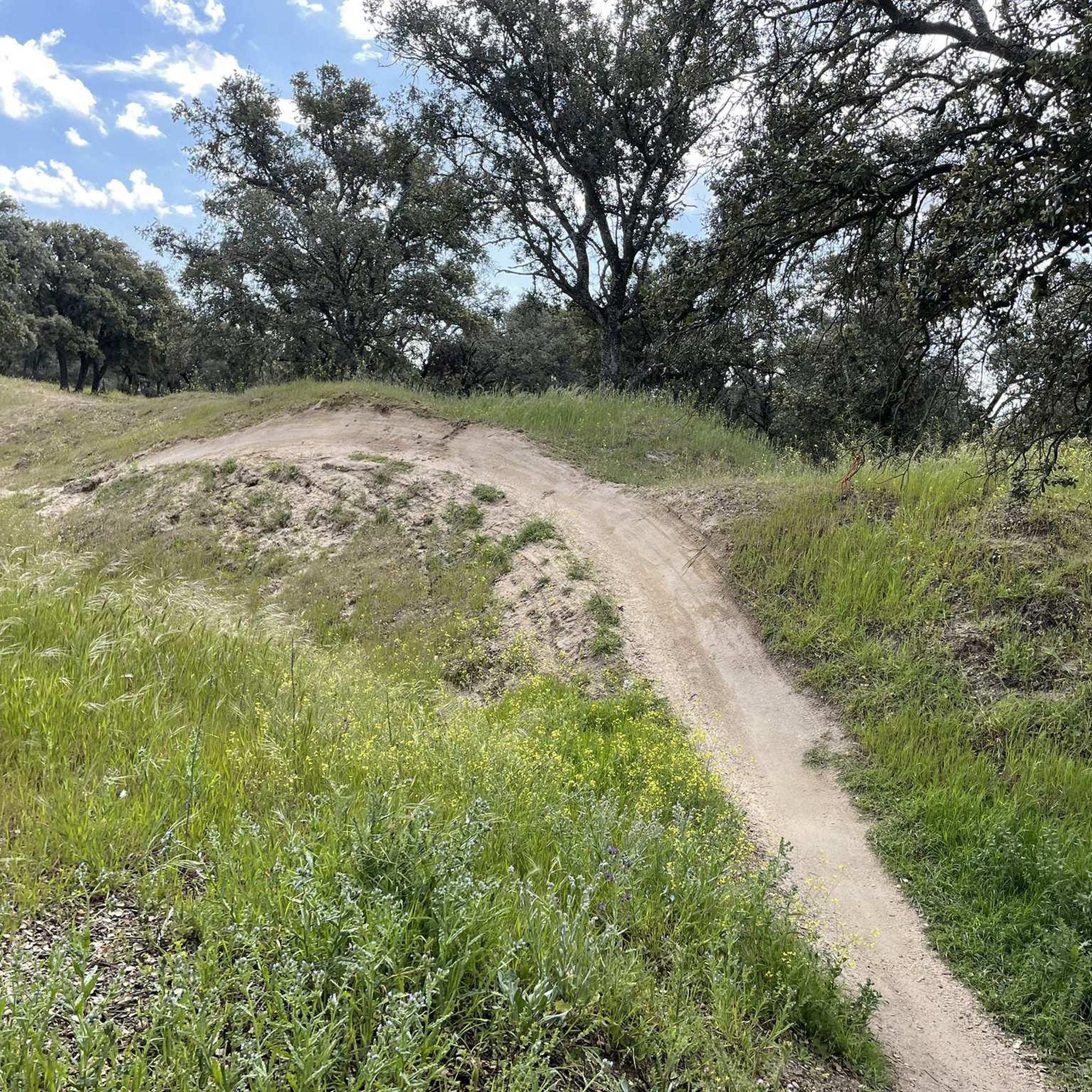
Mountain Hikes around Palazuelos De Eresma

Mountain Hikes around El Espinar

Mountain Hikes around Navas De Riofrío

Mountain Hikes around La Losa

Mountain Hikes around Ortigosa Del Monte

Height Challenges — Ports in Castilla y León
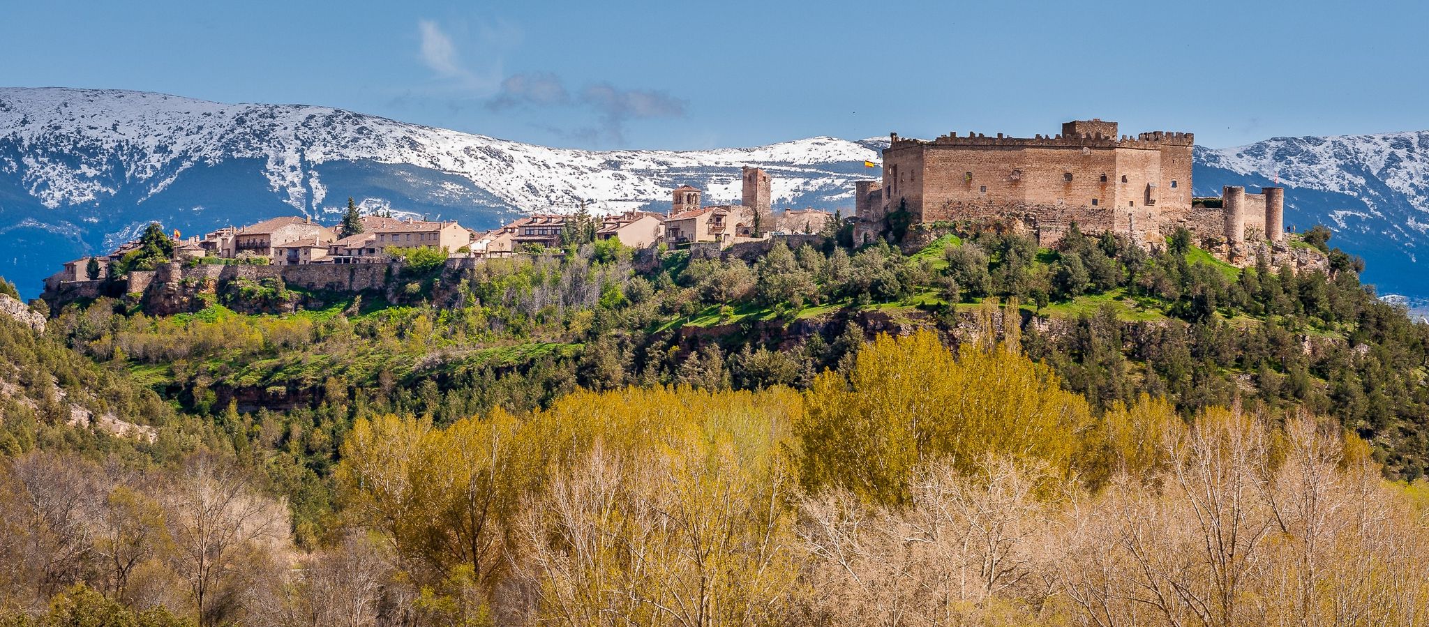
Nature, history and tradition – Segovia Trail (GR 88)

The treasures of Guadarrama – on foot along the GR 10 in Madrid
Other adventures around Segovia


Tips from the Community

Highest peak between Madrid and Segovia.
0
0

Going over all the peaks makes it a real adventure!!!
0
0

To ascend it, you must carry the appropriate equipment in snow/ice, an ice axe and crampons. And be very careful with crevasses and cornices. You can also reach its summit from the normal route to Peñalara (Dos Hermanas).
0
0

Exceptional water, which even people from the village come to collect.
0
0

The name comes from the stone boundary markers erected in the 18th century to demarcate lands acquired by Charles III for hunting. During the Spanish Civil War, it was a strategic area with a Republican detachment stationed there. It formerly housed the Valcotos ski resort, which no longer exists.
1
0

There's a fountain as you reach the top on the right. Follow the cobblestone path.
0
1

Mountain refuge near the Laguna Grande de Peñalara, with spectacular views of the surrounding area. It's worth returning from the lagoon to the reserves, passing through the refuge—the views won't disappoint.
0
0
The Descalzo Bridge is one of the best-known bridges on the Fuenfría Roman Road in Cercedilla. Although long attributed to its Roman origin, more recent research suggests that, although the road crossed here in Roman times, the bridge itself may have been built or heavily modified in the 18th century (Bourbon era). Despite this, it is located on an important section of the Roman road that connected Segovia with Titulcia and has been restored several times, maintaining its original structure. It is a masonry bridge with a single arch and blends perfectly into the natural surroundings, being part of a popular hiking trail in the Sierra de Guadarrama. Both the bridge and the road have been declared a National Historic, Artistic, and Archaeological Site.
0
0
Frequently Asked Questions
What types of mountaineering routes can I find around Segovia?
The Segovia region, particularly within the Sierra de Guadarrama National Park, offers a diverse range of mountaineering routes. You'll find trails through extensive pine forests, across alpine meadows, and up impressive granite rock formations. The terrain varies from moderate paths to challenging ascents, with elevations reaching up to 2,428 meters at Peñalara. There are 29 mountaineering routes available, with 10 rated as moderate and 19 as difficult.
Are there any family-friendly mountaineering routes in the Segovia area?
While many routes are moderate to difficult, some areas offer gentler options suitable for families. The Valsaín pine forests, especially around Boca del Asno, are known for their recreational areas and small waterfalls, providing a pleasant environment for walks. For a specific route, consider the Mountaineering loop from Antiguo Apeadero de Dos Castillas, which is rated as moderate and covers 7.3 km.
Can I bring my dog on the mountaineering trails around Segovia?
Many trails in the Sierra de Guadarrama National Park are dog-friendly, but it's always best to check specific regulations for each route or protected area. Generally, dogs should be kept on a leash, especially in areas with wildlife or livestock. The Valsaín pine forests are a popular choice for walks with dogs due to their natural beauty and open spaces.
Are there any circular mountaineering routes in Segovia?
Yes, many of the mountaineering routes around Segovia are designed as loops, allowing you to start and finish at the same point. For example, the Cotos Pass – Peñalara Peak loop from Cotos offers a moderate 11 km journey to the highest peak. Another option is the Zabala Refuge loop from Cotos, a moderate 7.7 km route.
Which routes offer views of waterfalls or other natural water features?
The region boasts several beautiful water features. The Valsaín pine forests, particularly around Boca del Asno, feature small waterfalls and pools. While the Hielo Pulmones Waterfall loop from Cotos is a challenging route, it leads to a notable waterfall. You can also explore highlights like the Boca del Asno Gorge and Waterfalls or the Chorro Grande Waterfall.
What are some challenging mountaineering routes for experienced climbers?
For experienced mountaineers, the Segovia area offers several demanding routes. The ascent to Peñalara, the highest peak, is a classic challenge. Consider the Poza de Sócrates – Cerro de Valdemartín loop from Cotos, a difficult 14.5 km route with significant elevation gain. Another demanding option is the Pico del Lobo Summit – Collado del Aventadero loop from La Pinilla Estación de Esquí, covering 10.9 km with over 800m of ascent.
Are there any routes that can be accessed by public transport?
Many trailheads in the Sierra de Guadarrama, such as Cotos Pass and Puerto de Navacerrada, are accessible by public transport from Segovia or Madrid. For example, routes starting from Cotos, like the Cerro Minguete – Montón de Trigo loop from Ferrocarril de Cotos, can often be reached via bus services connecting to these mountain passes.
What are the best seasons for mountaineering in Segovia?
The best seasons for mountaineering in Segovia are typically spring and autumn, when the weather is mild and the landscapes are vibrant. Summer offers warmer temperatures, ideal for high-altitude routes, but can be very hot at lower elevations. Winter mountaineering is possible, especially on higher peaks like Peñalara, but requires appropriate gear and experience due to snow and ice conditions.
What interesting landmarks or natural features can I see along the routes?
The mountaineering routes around Segovia are rich in natural beauty and offer stunning views. You can encounter impressive granite rock formations, glacial lagoons like Laguna Grande de Peñalara, and extensive Scots pine forests. Notable peaks include Seven Peaks and Alto de las Guarramillas (Bola del Mundo). The Hoces del Río Duratón Natural Park, though not directly on these mountaineering routes, is also nearby and famous for its dramatic limestone gorges and griffon vultures.
What do other mountaineers enjoy most about the routes in Segovia?
The routes in Segovia are highly rated by the komoot community, with an average score of 4.7 stars. Reviewers often praise the stunning panoramic views from the peaks, the diverse terrain ranging from forests to alpine meadows, and the sense of accomplishment from tackling challenging ascents within the Sierra de Guadarrama National Park.
Are there any beginner-friendly mountaineering options in the area?
While many routes are moderate to difficult, beginners can find suitable options by focusing on shorter distances and less elevation gain. The region offers trails that serve as an introduction to mountaineering techniques. For example, the Siete Picos – Second Peak – Collado Ventoso loop from Antiguo Apeadero de Dos Castillas is a difficult route, but shorter sections or alternative paths around the base of peaks like Siete Picos can be more accessible for those new to the sport.
Do I need any special permits for mountaineering in Segovia?
Generally, permits are not required for hiking or mountaineering on most trails within the Sierra de Guadarrama National Park. However, specific areas or activities, such as accessing certain parts of the Hoces del Río Duratón Natural Park, might require permits, especially for activities like kayaking or if you plan to visit during peak seasons. It's always advisable to check with the park authorities for the latest regulations before your trip.
Most popular routes around Segovia
Most popular attractions around Segovia

Get inspired with the komoot mobile app


Didn’t find what you were looking for?
Check out more Mountain Hikes & Routes throughout Segovia below and find the perfect route in your destination.
