The best walks and hikes around Pisuerga
4.4
(191)
1,309
hikers
26
hikes
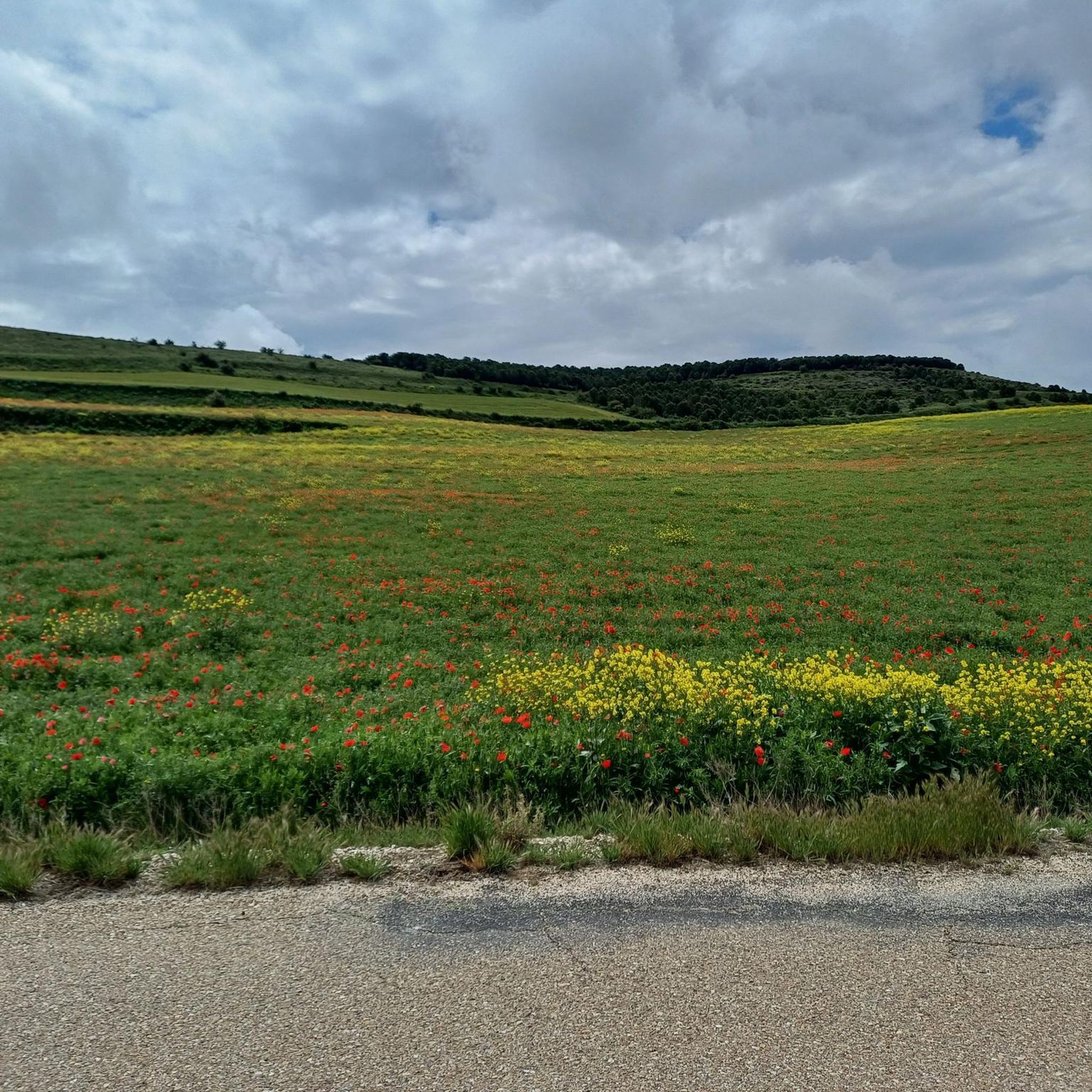
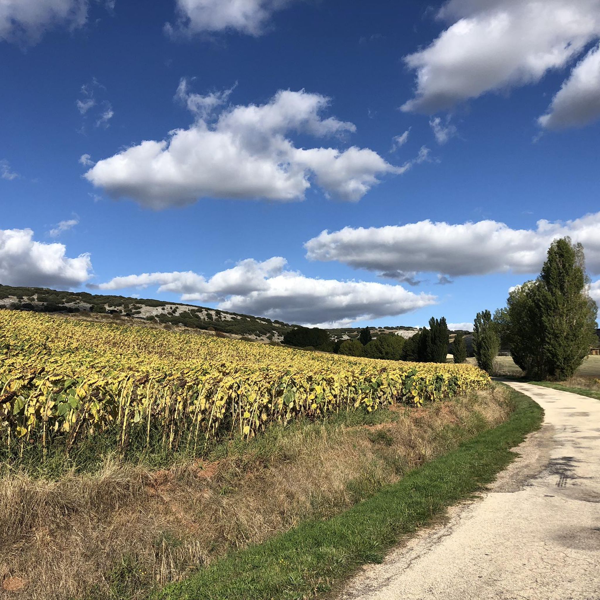
Hiking around Pisuerga offers diverse landscapes shaped by the Pisuerga River, which originates in the Cantabrian Mountains. The region spans parts of Palencia, Burgos, and Valladolid, featuring mountainous terrain, riverine environments, and extensive forests. Key areas include the Palencia Mountains and the Fuentes Carrionas and Fuente Cobre-Montaña de Palencia Natural Park, providing varied elevations and natural features for hikers. The landscape is characterized by valleys, reservoirs, and thick woodlands of beech and oak.
Best hiking trails around Pisuerga
- The most…
Last updated: July 7, 2026
5.0
(1)
2
hikers
Moderate hike. Good fitness required. Easily-accessible paths. Suitable for all skill levels.
5.0
(1)
4
hikers
11.8km
03:16
210m
210m
Moderate hike. Good fitness required. Easily-accessible paths. Suitable for all skill levels.

Sign up for free
1
hikers
6.37km
01:47
120m
120m
This easy 4.0-mile circular hike from Castrojeriz offers panoramic views from the castle ruins and passes the historic Santa María del Manza
5.0
(1)
1
hikers
14.2km
03:44
120m
120m
Hike a moderate 8.8-mile (14.2 km) circular route from Villadiego to Olmos de la Picaza, exploring Castilian plains and historic landmarks.
24.8km
06:22
110m
110m
This difficult 15.4-mile (24.8 km) hiking circuit near Melgar de Fernamental takes over six hours and features the Church of the Assumption
4.6
(79)
564
hikers
28.7km
07:31
230m
230m
Hard hike. Very good fitness required. Easily-accessible paths. Suitable for all skill levels.
4.5
(15)
140
hikers
16.1km
04:09
90m
90m
Moderate hike. Good fitness required. Easily-accessible paths. Suitable for all skill levels.
4.6
(10)
110
hikers
15.6km
04:11
170m
170m
Moderate hike. Good fitness required. Easily-accessible paths. Suitable for all skill levels.
4.7
(9)
60
hikers
29.6km
07:55
340m
340m
Hard hike. Very good fitness required. Easily-accessible paths. Suitable for all skill levels.
4.0
(2)
50
hikers
21.4km
06:06
450m
450m
Hard hike. Very good fitness required. Easily-accessible paths. Suitable for all skill levels.
Get access to more routes and recommendations from other explorers.
Sign up for free
Already have an account?
Our route recommendations are based on thousands of hikes, rides, and runs completed by other people on komoot.
Start today with a free account
Your next adventure awaits.
Login or Signup
Popular around Pisuerga
Other adventures around Pisuerga

Tips from the Community

The chapel is very beautiful, the sisters unfortunately partly intrusive. You are touched without asking. A Catholic nun should actually know that only a priest has the authority to bless by laying on hands (except one's own parents) and even if she doesn't know that, there's still the normal human decency of asking strangers if they want to be touched.
0
0

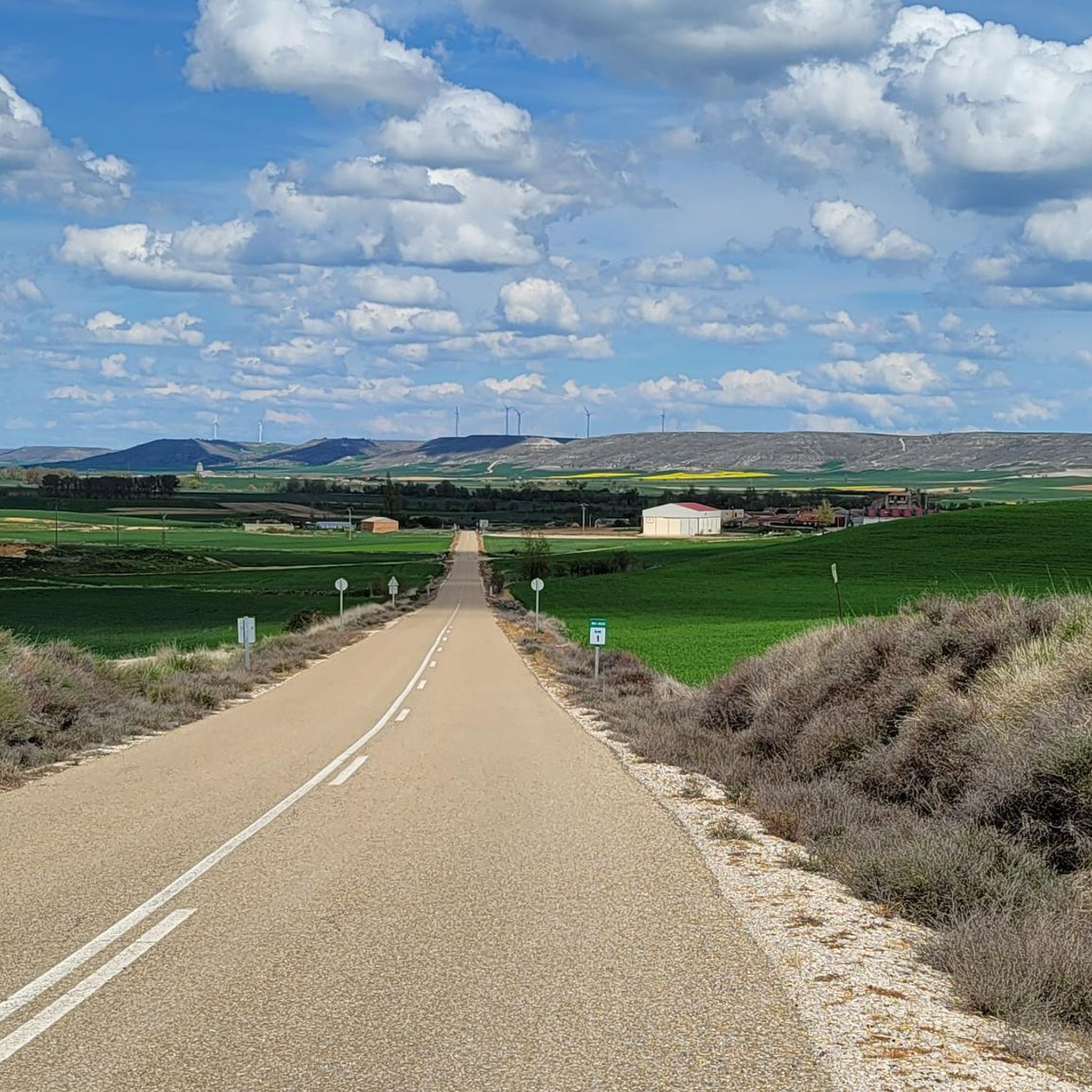
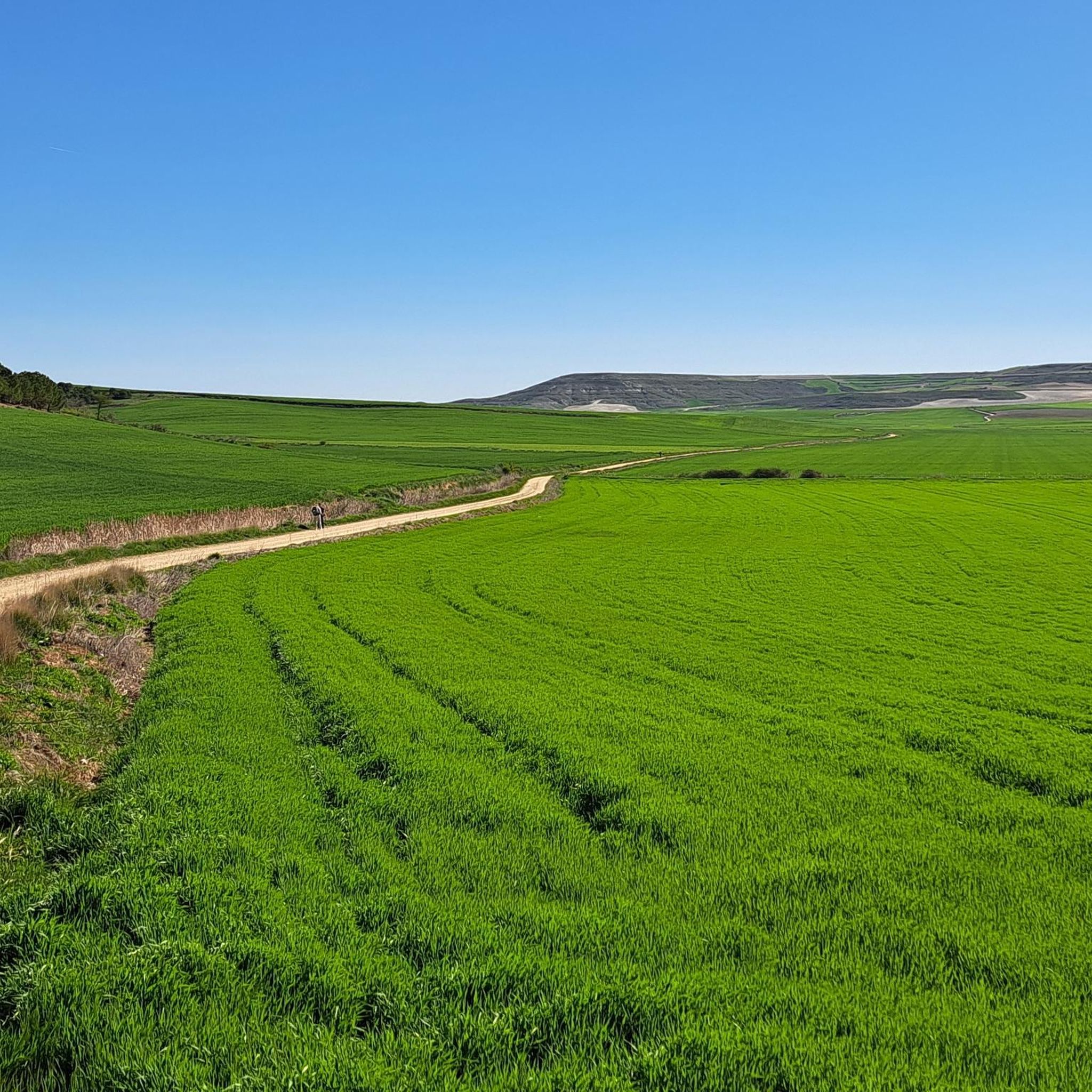
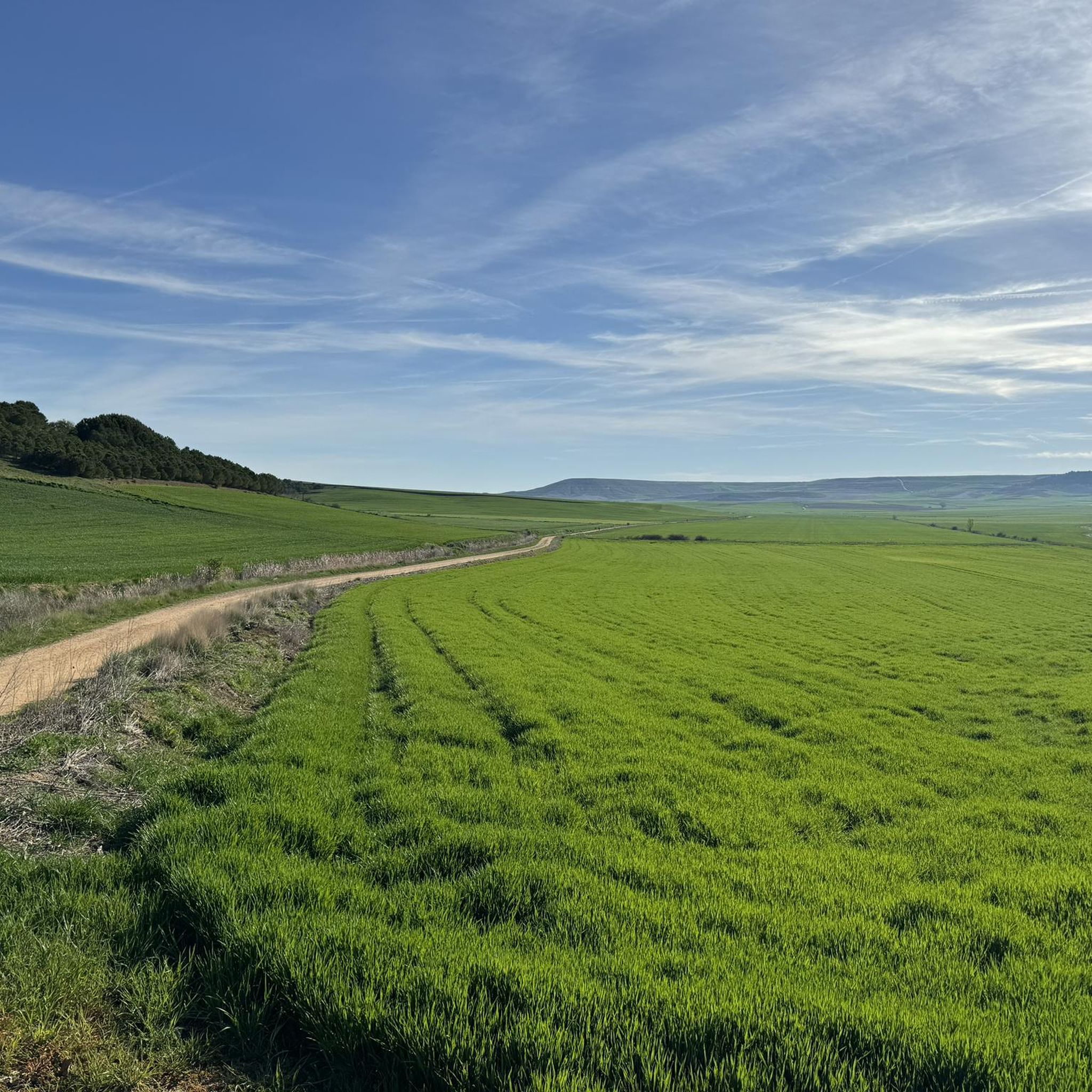
A view of infinity! Rolling hills, I feel like I'm walking through a beautiful landscape.
0
0

It represents the faces of Albert Einstein, Nelson Mandela, and Mahatma Gandhi, three universal figures of peace, science, and human rights. It is accompanied by the yellow arrow, the symbol of the Camino de Santiago, making it a visual reference point for walkers. It is located at the edge of the town, heading toward Hornillos del Camino, on a wall visible from the official Camino route.
1
0
The mural of Einstein, Mandela, and Gandhi in Rabé de las Calzadas (Burgos) is a well-known work among pilgrims on the French Way of St. James, especially for its symbolic location.
1
0
The Plaza Mayor of Castrojeriz, in the province of Burgos, is one of the most emblematic spaces in this Jacobean town, with a rich history and architecture that reflect its importance on the Camino de Santiago. The square has a porticoed structure, typical of medieval Castilian towns, with stone and wood arcades that house old mansions and traditional shops.
1
0
If you have the opportunity to explore this trail, you'll enjoy the natural beauty and ecological richness of the area. Enjoy your hike! 🌿🚶♀️
1
0
The Fitero Bridge, also known as the Itero Bridge, is a historic 11th-century Romanesque construction that crosses the Pisuerga River and connects the towns of Itero de la Vega (Palencia) and Itero del Castillo (Burgos). This bridge marks the provincial border between Palencia and Burgos, and was also formerly the border between the kingdoms of Castile and León.
2
0
The Fitero Bridge, also known as the Itero Bridge, is a historic 11th-century Romanesque construction that crosses the Pisuerga River and connects the towns of Itero de la Vega (Palencia) and Itero del Castillo (Burgos). This bridge marks the provincial border between Palencia and Burgos, and was also formerly the border between the kingdoms of Castile and León.
1
0
Frequently Asked Questions
What kind of landscapes can I expect to see while hiking in Pisuerga?
Pisuerga offers a diverse range of landscapes, from the rugged peaks of the Cantabrian Mountains, where the Pisuerga River originates, to serene riverine environments. You'll find thick forests of beech and oak, picturesque valleys, and large reservoirs like Requejada and Aguilar. The region also encompasses parts of the Palencia Mountains, known for their spectacular surroundings.
Are there any easy hiking trails suitable for beginners or families in Pisuerga?
Yes, Pisuerga offers several easy trails. For instance, the Castrojeriz Castle and Santa María del Manzano Loop is an easy 4.0-mile (6.4 km) path with gentle terrain and views of historical landmarks. Overall, there are 6 easy routes available in the region.
Can I find challenging routes for experienced hikers in Pisuerga?
Absolutely. For those seeking a challenge, Pisuerga has 5 difficult routes. An example is the Sendero de los Hortelanos Circuit, which is a demanding 15.4-mile (24.8 km) trail. These routes often involve significant elevation changes and cover longer distances, particularly in the mountainous areas.
Are there any circular hiking routes in Pisuerga?
Yes, many trails in Pisuerga are circular, offering varied scenery without retracing your steps. Popular options include the Climb to Peña Amaya and visit its Cave — circular through Valdelucio lands, a moderate 5.4-mile (8.7 km) loop, and the Alto de Mostelares — circular from Castrojeriz, a 7.3-mile (11.8 km) moderate trail.
What natural features or landmarks can I see along the hiking trails in Pisuerga?
Hikers can discover a variety of natural and historical landmarks. The region is home to the Fuentes Carrionas and Fuente Cobre-Montaña de Palencia Natural Park, which includes the source of the Pisuerga River. You can also find the Mazobre Waterfall, the largest in Montaña Palentina. For stunning views, consider visiting the Alto de Mostelares Viewpoint or the Piedrasluengas Viewpoint in the Cantabrian Mountains.
Are there any historical sites or cultural attractions accessible via hiking routes?
Yes, Pisuerga's hiking routes often integrate cultural and historical elements. You can explore sites like the Ruins of the Monastery of San Antón or the Collegiate Church of Santa María del Manzano. The Camino Natural del Románico Palentino also combines heritage with scenic beauty, passing through towns like Cervera de Pisuerga with its medieval architecture.
What do other hikers enjoy most about the trails in Pisuerga?
The trails in Pisuerga are highly rated by the komoot community, with an average score of 4.2 stars from over 150 reviews. Hikers frequently praise the diverse terrain, from rugged mountains to peaceful riverbanks, and the opportunity to explore both natural beauty and historical sites. The variety of routes catering to different skill levels is also a common highlight.
Is Pisuerga a good destination for hiking with dogs?
Many trails in Pisuerga are suitable for hiking with dogs, especially those that traverse open countryside, forests, and riverbanks. However, it's always recommended to check specific trail regulations and local signage, particularly within natural parks or protected areas, to ensure dogs are permitted and if they need to be on a leash.
When is the best time of year to go hiking in Pisuerga?
The best time for hiking in Pisuerga generally depends on the type of experience you're looking for. Spring and autumn offer pleasant temperatures and vibrant landscapes, with blooming wildflowers or rich fall colors. Summer can be warm, especially in lower elevations, but higher mountain trails provide cooler conditions. Winter hiking is possible, particularly on lower-altitude paths, but requires appropriate gear for potentially cold and snowy conditions in the mountains.
How accessible are the trailheads in Pisuerga by public transport or car?
Access to trailheads in Pisuerga varies. While some routes, especially those near larger towns like Cervera de Pisuerga or Castrojeriz, might have better public transport connections, many mountain and rural trails are best reached by car. Parking is generally available near popular trail starting points, but it's advisable to check specific route information for details on parking facilities and public transport options.
Are there any waterfalls to see while hiking in Pisuerga?
Yes, the region is home to natural spectacles like the Mazobre Waterfall, which is recognized as the largest in the Montaña Palentina and Palencia Natural Park. Hiking routes in this area can lead you to this impressive natural feature, offering a rewarding sight amidst the lush forests.
What kind of forests can I expect to hike through in Pisuerga?
Pisuerga is characterized by thick woodlands, primarily composed of beech and oak trees. These forests provide beautiful shaded paths, especially in areas like the Palencia Mountains and within the Fuentes Carrionas and Fuente Cobre-Montaña de Palencia Natural Park, offering a serene and immersive hiking experience.
Most popular routes around Pisuerga
Most popular attractions around Pisuerga

Get inspired with the komoot mobile app


Didn’t find what you were looking for?
Check out more Hikes throughout Pisuerga below and find the perfect route in your destination.
Explore more
Browse the best Hikes in other regions.
