The best walks and hikes around La Jara
4.8
(36)
279
hikers
22
hikes
Hiking trails around La Jara are primarily found within the Cabañeros National Park area in Spain, characterized by its diverse landscapes including river valleys, dense forests, and mountainous terrain. The region features trails along rivers like the Pusa, leading to waterfalls and through areas with significant natural beauty. Elevations vary, offering both gentle paths and more challenging climbs through rugged sections. The area provides a network of trails suitable for exploring the natural environment.
Best hiking trails around La Jara
- The most popular hiking route is Waterfall of los Navalucillos — Cabañeros National Park, a 5.1 miles (8.2 km) trail that takes 2 hours 27 minutes to complete. This moderate route leads to a notable waterfall within the national park.
- Another top favourite among local hikers is Route of the Chorro de los Navalucillos – El Parque Nacional de Cabañeros, a difficult 12.4 miles (19.9 km) path. This trail offers an extended exploration of the national park's rugged terrain and natural features.
- Local hikers also love the Garganta de las Lanchas Trail, a 5.9 miles (9.5 km) trail leading through a gorge, often completed in about 3 hours 8 minutes.
- Hiking around La Jara is defined by river paths, waterfall trails, and routes through Cabañeros National Park. The network offers options for different ability levels, from easy walks to difficult ascents.
- The routes in La Jara are highly rated by the komoot community with an average score of 4.8 stars from over 29 reviews. More than 260 hikers have used komoot to explore La Jara's varied terrain.
Last updated: June 23, 2026
4.1
(7)
61
hikers
8.23km
02:27
170m
170m
Moderate hike. Good fitness required. Mostly accessible paths. Sure-footedness required.
5.0
(5)
42
hikers
19.9km
06:42
820m
820m
Hard hike. Very good fitness required. Mostly accessible paths. Sure-footedness required.

Sign up for free
4.5
(4)
26
hikers
9.52km
03:08
270m
270m
Hike the difficult 5.9-mile Garganta de las Lanchas Trail, gaining 892 feet to discover unique waterfalls and diverse ecosystems.
5.0
(1)
6
hikers
8.58km
02:22
150m
150m
Moderate hike. Good fitness required. Easily-accessible paths. Suitable for all skill levels.
3
hikers
20.0km
06:44
830m
830m
Hike the difficult 12.4-mile El Cerro del Rocigalgo circular route in Cabañeros National Park, featuring waterfalls and panoramic views.
5.0
(1)
2
hikers
8.55km
02:18
110m
110m
Hike the moderate 5.3-mile Camino Natural del Tajo circular route from Aldeanueva de Barbarroya, featuring views of the Amador Bridge.
1
hikers
8.65km
02:48
360m
350m
Hike the moderate 5.4-mile Route Mirador Bellavista (PR-TO 25) — circular, gaining 1192 feet for panoramic views in Montes de Toledo.
4.58km
01:15
70m
70m
Enjoy an easy 2.8-mile (4.6 km) hike in Santa Ana de Pusa, featuring the scenic Estrechura del Pusa gorge and the historic Malpasillo Bridge
1
hikers
4.70km
01:35
230m
230m
This easy 2.9-mile circular hike from Puerto de San Vicente offers panoramic views and diverse wildlife in the Sierra de Altamira.
1
hikers
2.09km
00:37
60m
60m
Easy hike. Great for any fitness level. Easily-accessible paths. Suitable for all skill levels.
Get access to more routes and recommendations from other explorers.
Sign up for free
Already have an account?
Our route recommendations are based on thousands of hikes, rides, and runs completed by other people on komoot.
Start today with a free account
Your next adventure awaits.
Login or Signup
Popular around La Jara
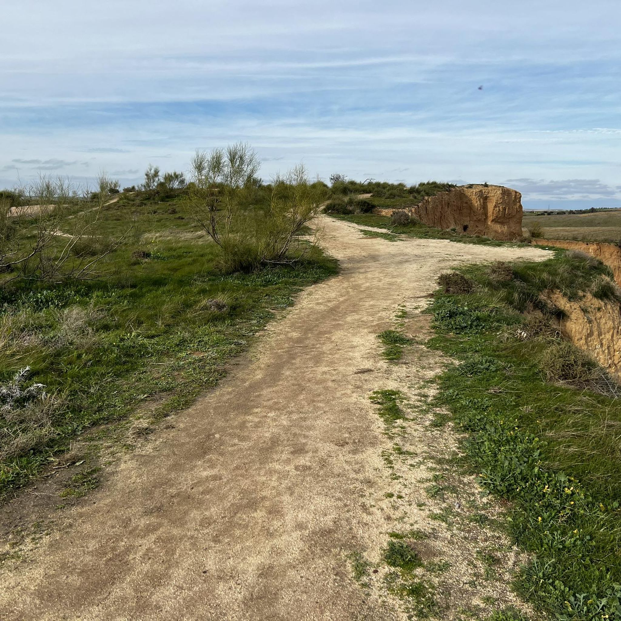
Hiking around Los Navalucillos
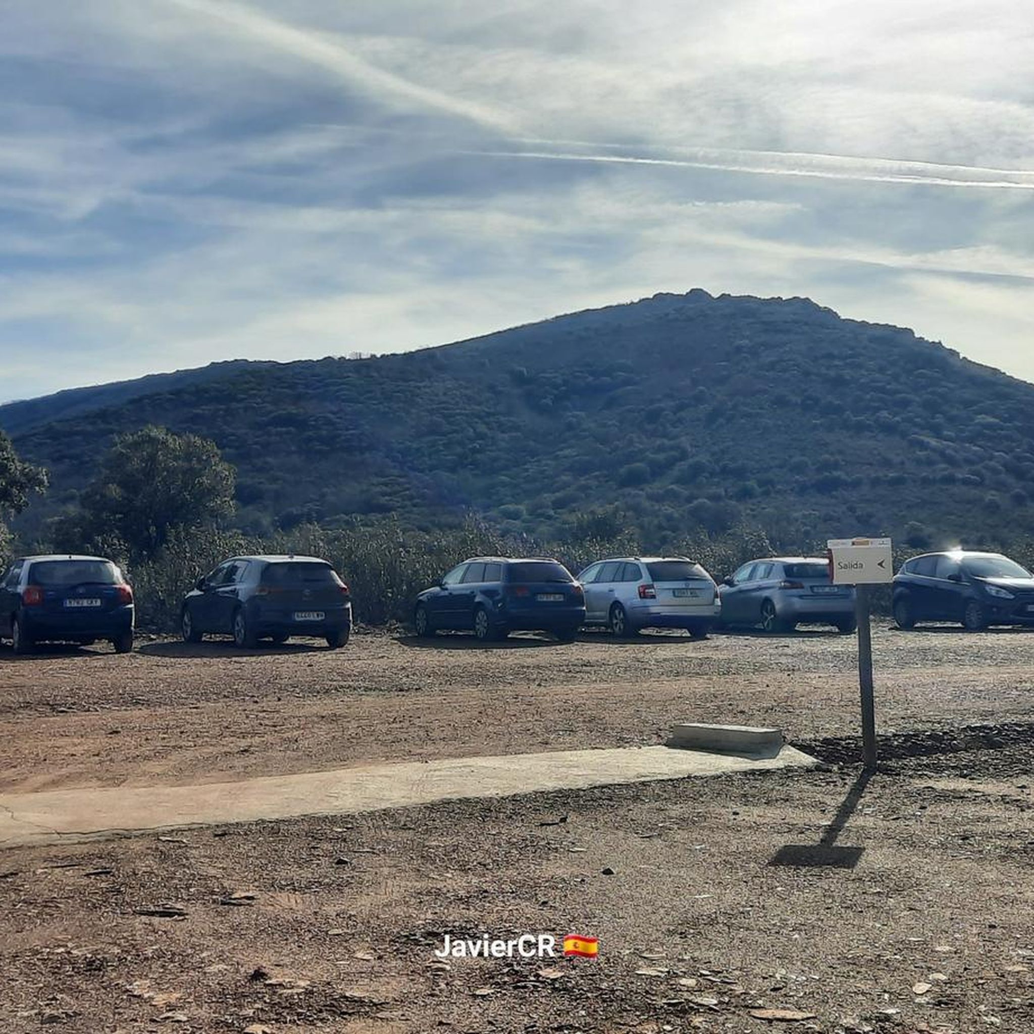
Hiking around Robledo Del Mazo

Hiking around Los Navalmorales
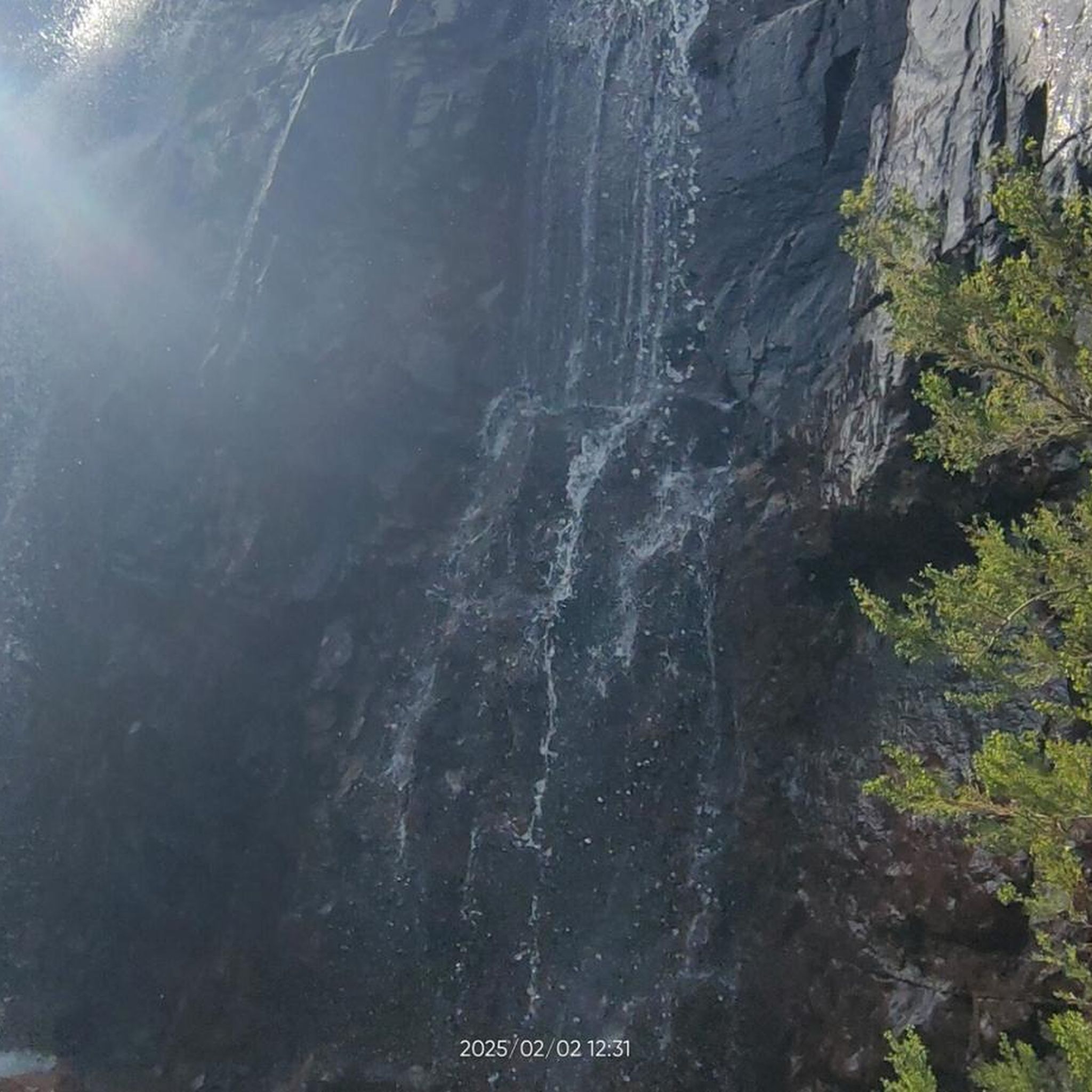
Hiking around Sevilleja De La Jara

Hiking around Torrecilla De La Jara
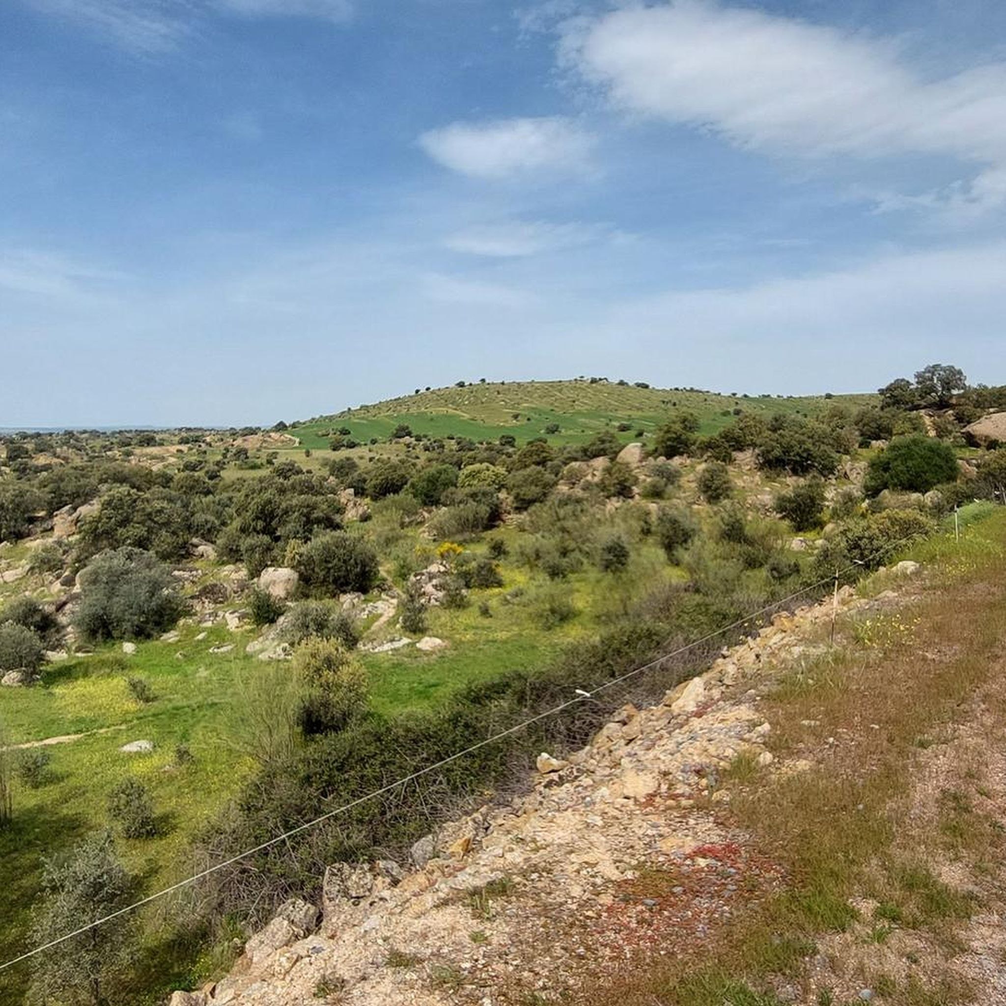
Hiking around Alcaudete De La Jara

Hiking around Retamoso De La Jara
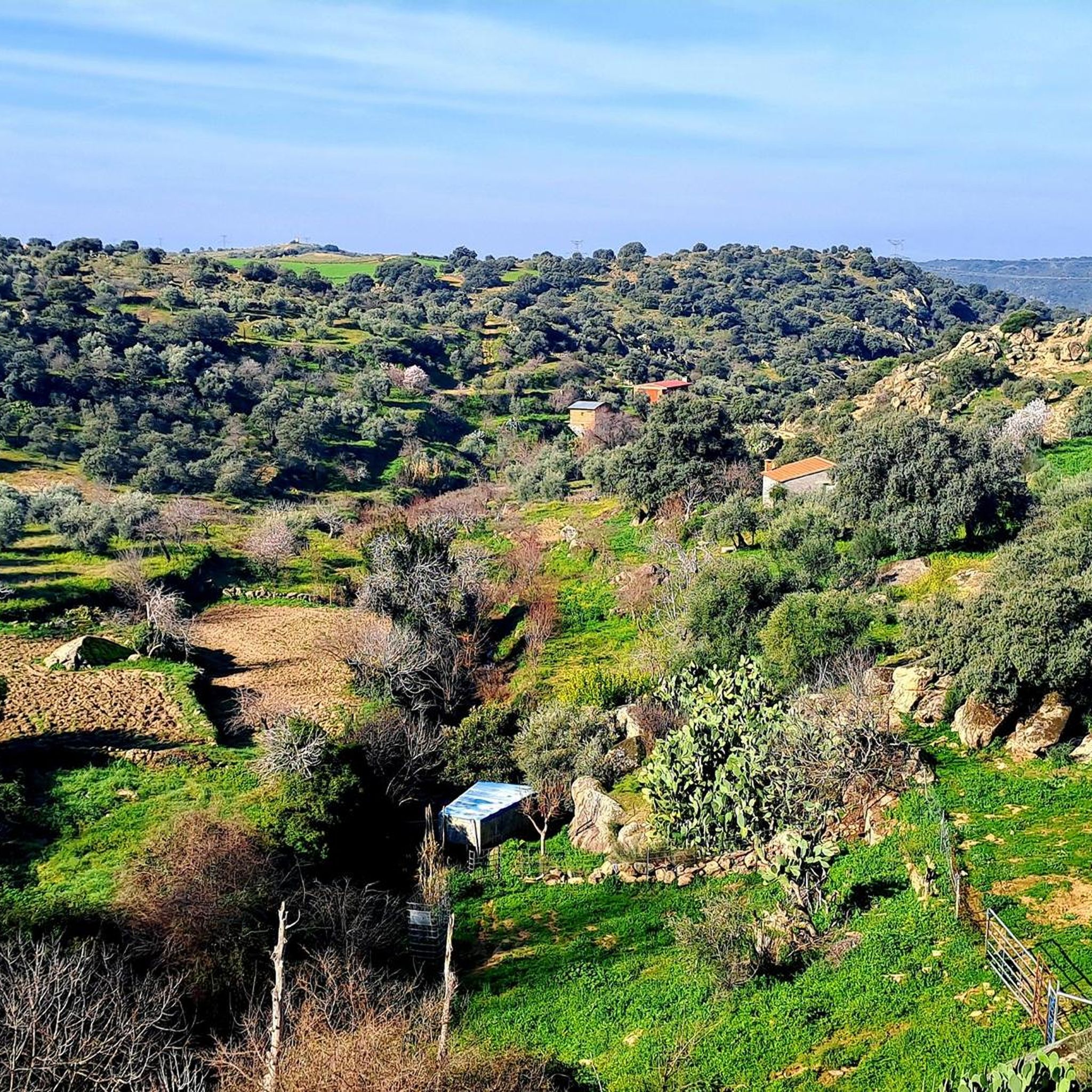
Hiking around Aldeanueva De Barbarroya
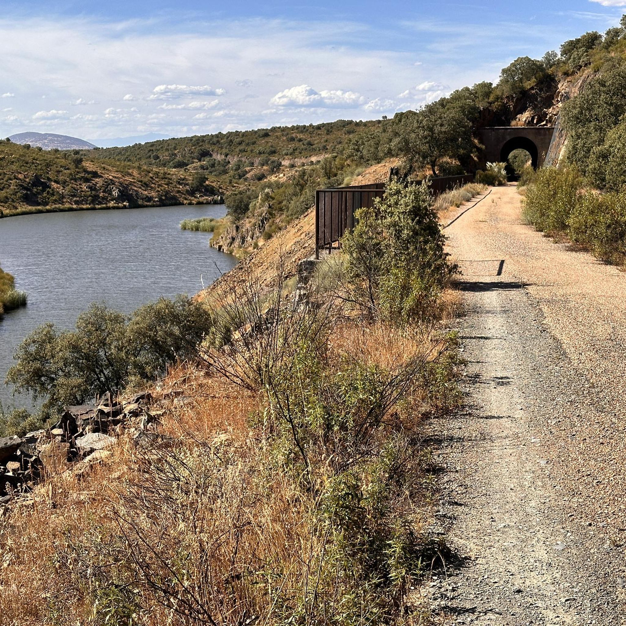
Hiking around La Nava De Ricomalillo
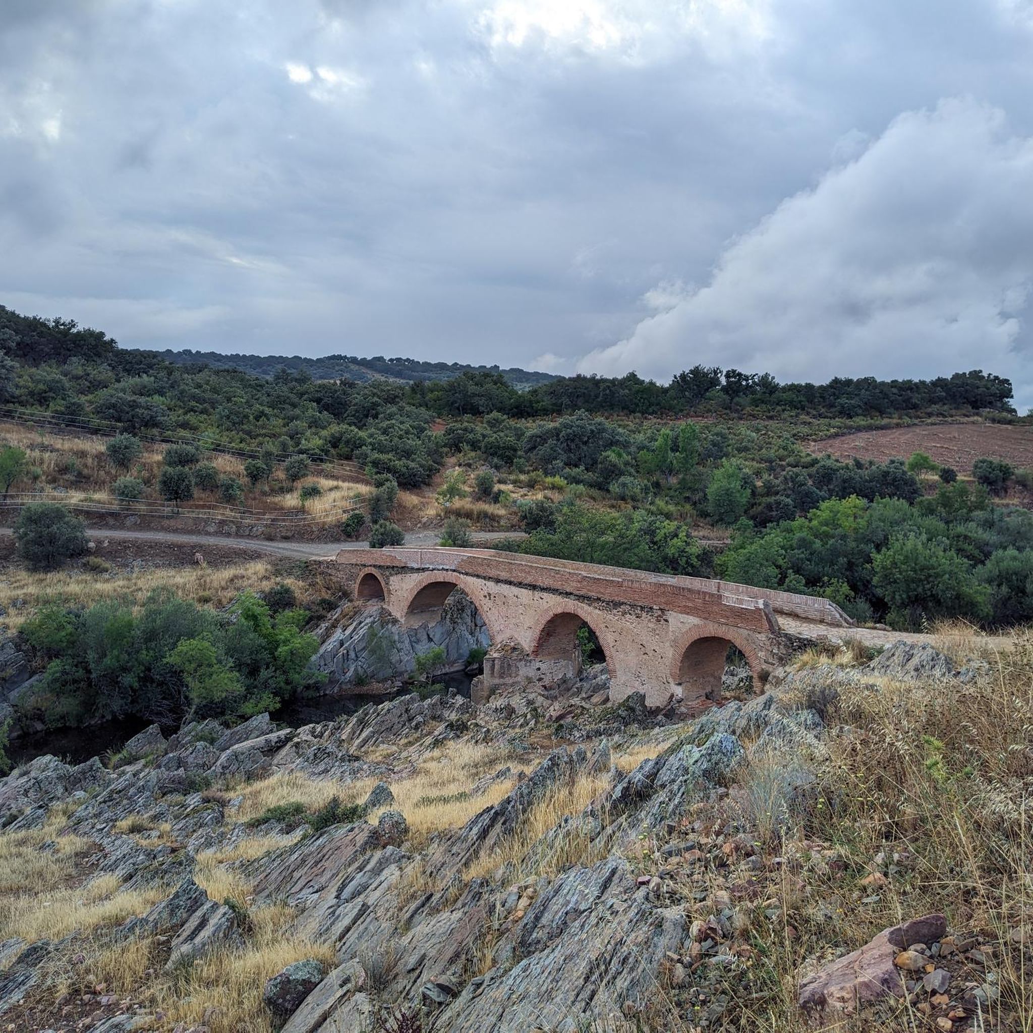
Hiking around Santa Ana De Pusa


Tips from the Community

The view of the Azután Viaduct from the Amador Bridge, in the La Jara region (Toledo), is one of the most spectacular along the Tajo Nature Trail GR-113 and the La Jara Green Route.
5
0
The view of the Tagus River from the Azután Bridge, located in Aldeanueva de Barbarroya (Toledo), is one of the most peaceful and natural views in the La Jara region. This bridge offers a privileged panoramic view of the river in a sparsely built environment, ideal for those seeking serene landscapes and nature trails.
5
0
The Holm Oak in Los Navalucillos, within Cabañeros National Park, is the focal point of an interpretive route known as the Centennial Holm Oak Route. The trail runs through the Arañosa Valley, between rockrose and holm oak trees. The park's three northern valleys can be seen: Arañosa, Chorro, and Calanchera. In the flattest part, you can see the peaks of the Sierra Fría, Toledana, and Botija mountains. In front of an old farmhouse stands the Holm Oak, a large, centuries-old tree, ideal for resting under its shade and admiring its majesty.
7
0
Located next to the exit of the jet route which is about 9 km round trip. This one is smaller, although less attractive.
32
1
The path continues to gain height and, after crossing a rocky section with the help of chains – which is very helpful if the ground is wet – reaches the Chorrera Chica. It will not be difficult to observe the flight of some birds of prey or the griffon vultures, very present in the skies of Cabañeros, and, with a little more luck, come across a deer that comes to drink from the stream.
3
0

Great tour so far! Pure action and nature romance! You can see it here in my national park video: https://youtu.be/y3I6zuf-f2I
2
1
Great tour with action and nature romance. Seen here in my video: https://youtu.be/y3I6zuf-f2I
3
0

One of the characteristics of this town is its name which, as it indicates, shows us how the town is located next to a mountain pass, just like the pass itself.
2
0
Frequently Asked Questions
What kind of hiking trails can I expect around La Jara?
Hiking around La Jara primarily features trails within the Cabañeros National Park area in Spain. You'll find diverse landscapes, including river valleys, dense forests, and mountainous terrain. Many routes follow rivers like the Pusa, leading to waterfalls and through areas of significant natural beauty. The network offers options for various ability levels, from easy walks to more challenging ascents.
Are there any easy hiking trails suitable for beginners or families?
Yes, La Jara offers several easy trails. For a gentle walk, consider the Malpasillo Bridge and Estrechura del Pusa Loop, which is just over 4.5 km. Another accessible option is the Ruta de la Encina — Parque Nacional de Cabañeros — round trip, a short 2 km trail perfect for a leisurely stroll.
Can I find trails with waterfalls in the La Jara area?
Absolutely! Waterfalls are a prominent feature of the hiking experience here. You can explore the Waterfall of los Navalucillos — Cabañeros National Park, a moderate 8.2 km route. For a more challenging adventure, the Route of the Chorro de los Navalucillos offers an extended exploration of the park's natural features, including its impressive waterfall. Don't miss the Rocigalgo and El Chorro Waterfalls Circular Trail for a challenging hike connecting two major waterfalls.
Are there any circular hiking routes around La Jara?
Yes, several circular routes are available, offering convenient starting and ending points. The Río Pusa from Los Navalucillos — circular is a moderate 8.5 km loop. For a longer, more challenging option that includes waterfalls, consider the Rocigalgo and El Chorro Waterfalls Circular Trail. Another moderate circular option is the Sendero Cerro El Castrejón (SL-TO 02) — circular.
What do other hikers say about the trails in La Jara?
The hiking trails in La Jara are highly regarded by the komoot community, with an average rating of 4.8 stars from over 29 reviews. Hikers frequently praise the diverse terrain, the beauty of the Cabañeros National Park, and the presence of stunning waterfalls along the routes.
Are there any viewpoints or scenic spots to discover on the hikes?
Yes, you can find several scenic spots. The Bellavista Viewpoint Trail is a moderate 8.6 km hike specifically designed to lead you to a beautiful vista. Additionally, the Puente Azután Viewpoint offers picturesque views, often accessible from nearby trails.
What are some notable natural attractions or landmarks near the hiking trails?
Beyond the trails themselves, the area boasts several natural monuments. You can visit the impressive Chorro de Los Navalucillos Waterfall, the majestic Pico Rocigalgo summit, and the serene Chorrera Chica Waterfall. The Chorrera de las Lanchas is another beautiful waterfall worth exploring.
Are there any historical or man-made attractions to see while hiking?
Yes, you can encounter some interesting man-made structures. The Amador Bridge or Azután Viaduct is a notable landmark. You might also find charming local architecture in places like the Alcaudete de la Jara Town Square and Monuments, which can be a pleasant stop after a hike.
How long do hikes in La Jara typically take?
Hikes in La Jara vary significantly in duration. Shorter, easy trails like the Ruta de la Encina can be completed in under an hour. Moderate routes, such as the Waterfall of los Navalucillos, typically take around 2.5 hours. For more difficult and longer trails, like the Route of the Chorro de los Navalucillos, you should plan for a full day, as they can take over 6 hours.
What is the general difficulty level of hiking trails in La Jara?
The trails around La Jara offer a good mix of difficulty levels. Out of 19 available routes, you'll find 4 easy trails perfect for a relaxed outing, 10 moderate trails that provide a good workout, and 5 difficult trails for experienced hikers seeking a challenge. This variety ensures there's something for everyone.
Are there any trails that follow river paths?
Yes, many trails in La Jara are defined by their proximity to rivers. The Río Pusa from Los Navalucillos — circular is a prime example, offering a scenic route along the Pusa River. You'll find that river valleys are a common feature, contributing to the region's natural beauty.
Most popular routes around La Jara
Most popular attractions around La Jara

Get inspired with the komoot mobile app


Didn’t find what you were looking for?
Check out more Hikes throughout La Jara below and find the perfect route in your destination.
Explore more
Browse the best Hikes in other regions.
