The best cycling routes around Serrania Alta
4.6
(51)
1,703
riders
144
rides
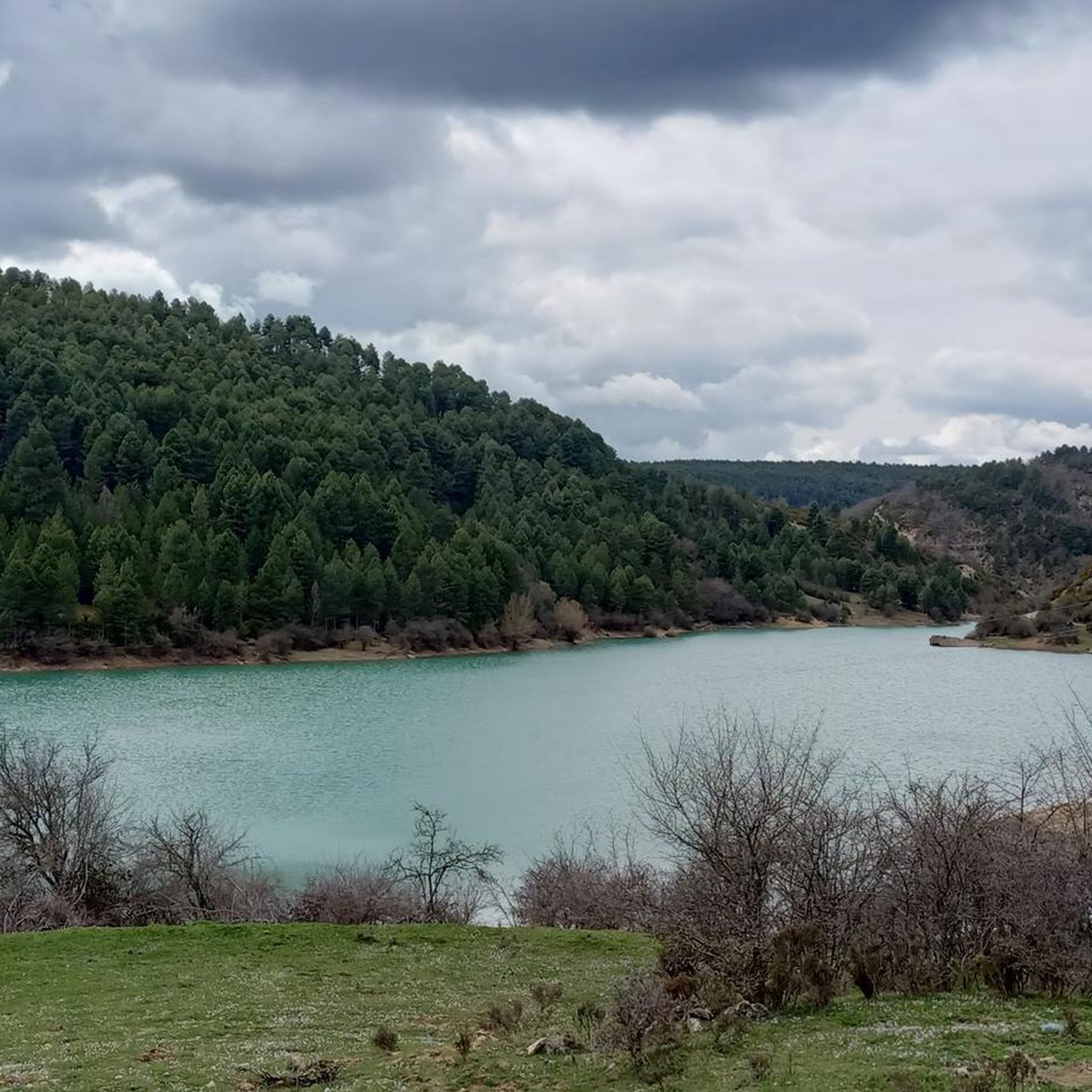
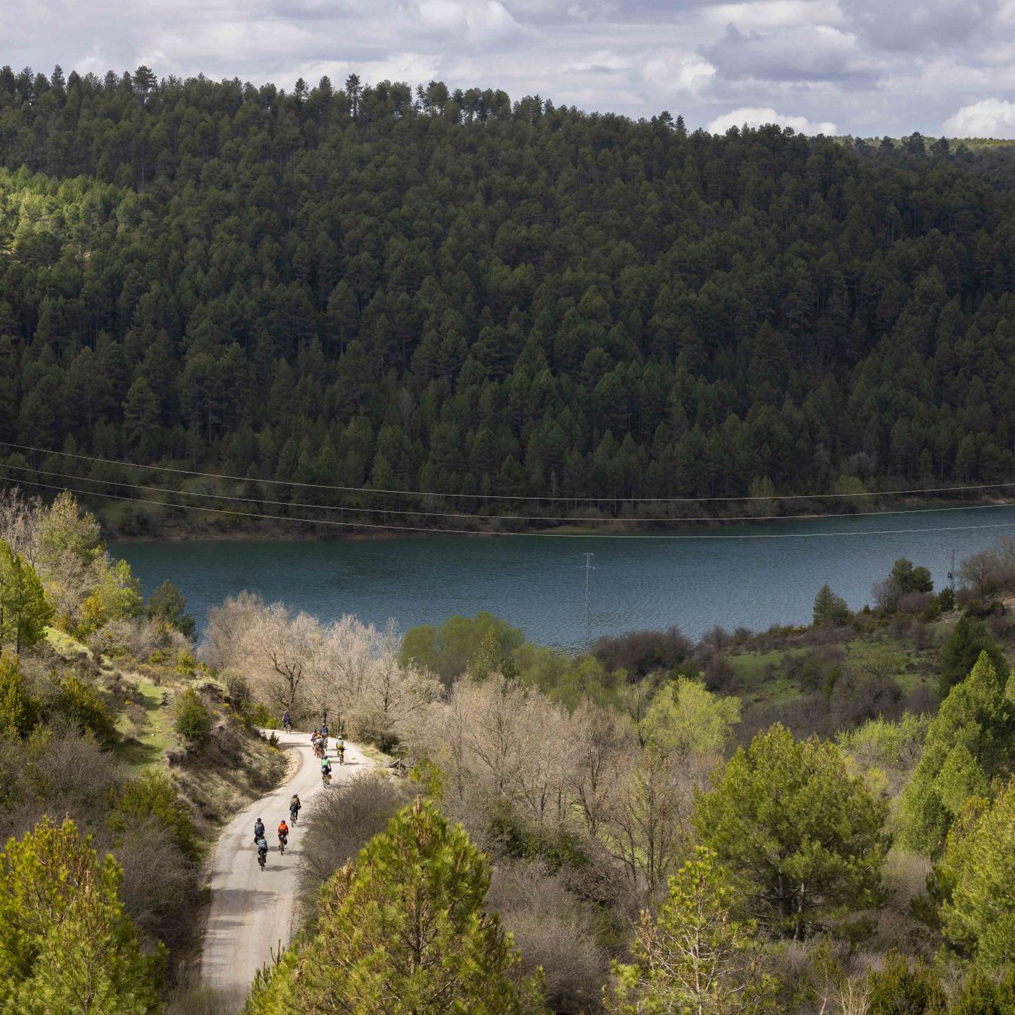
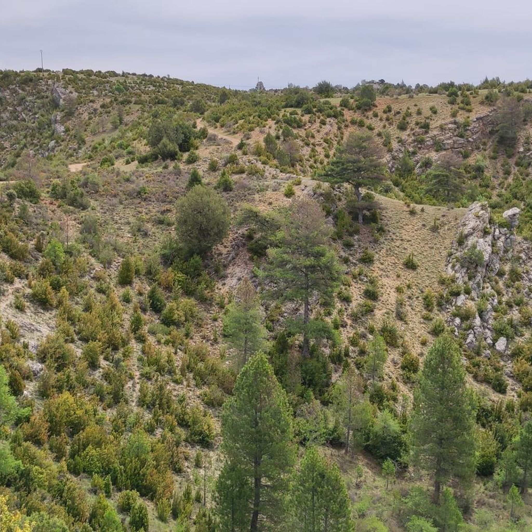
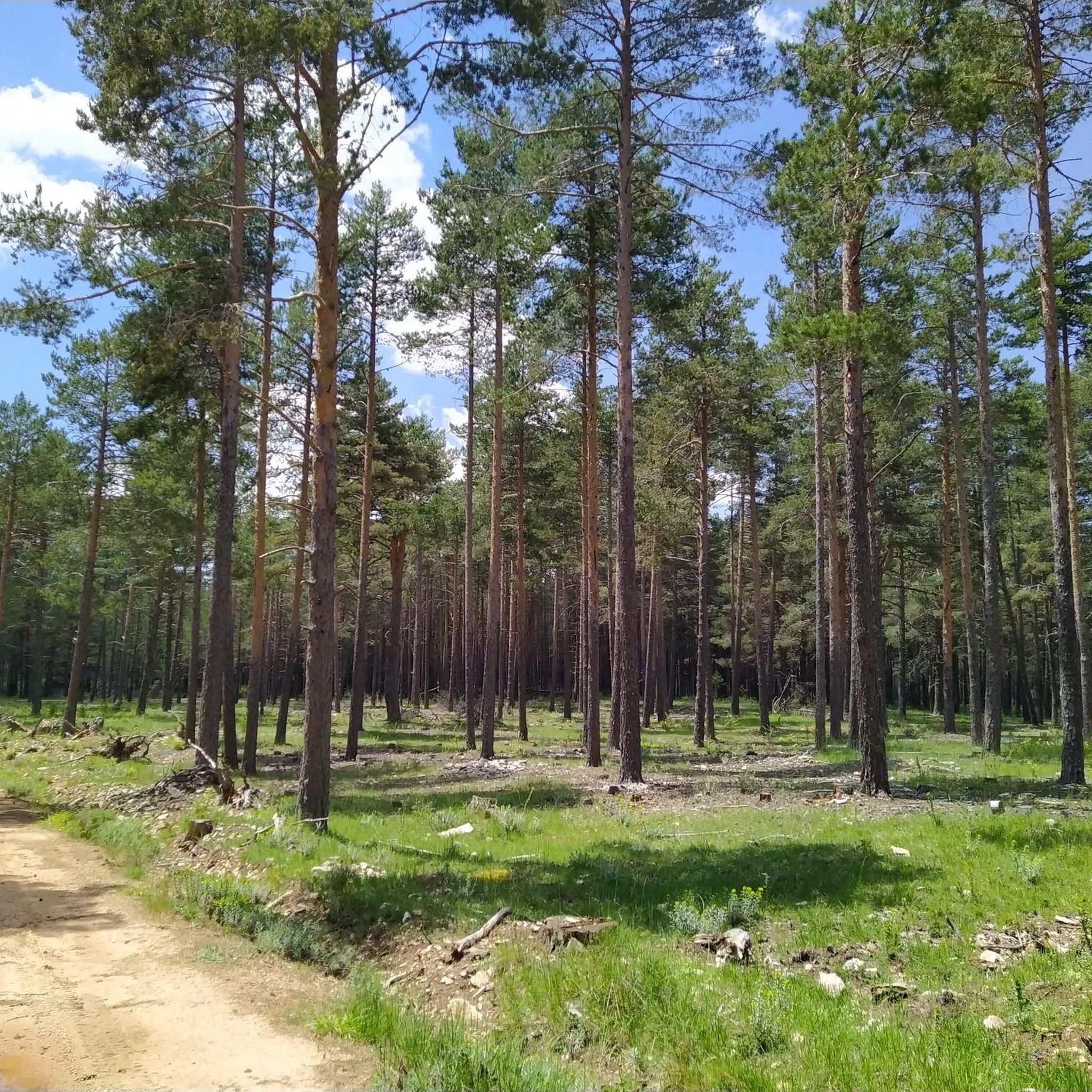
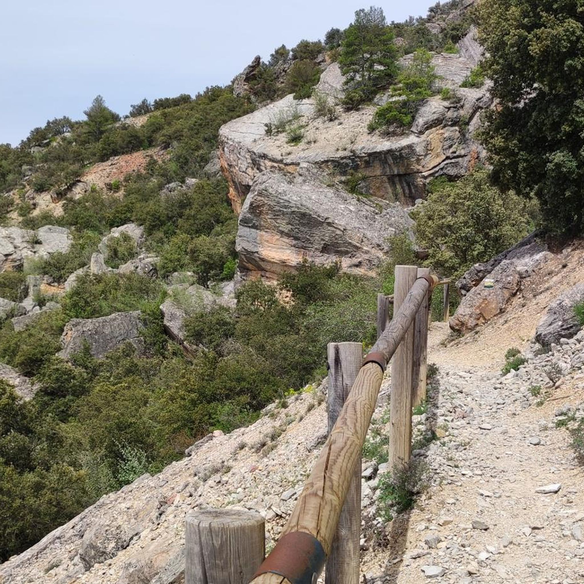
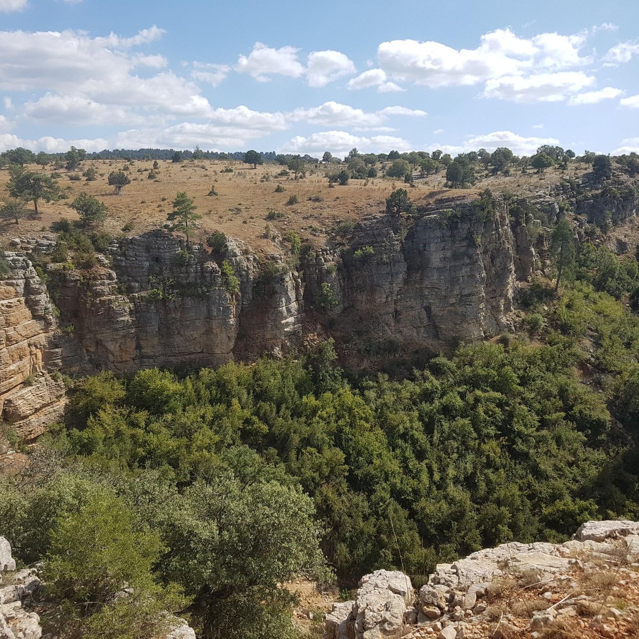
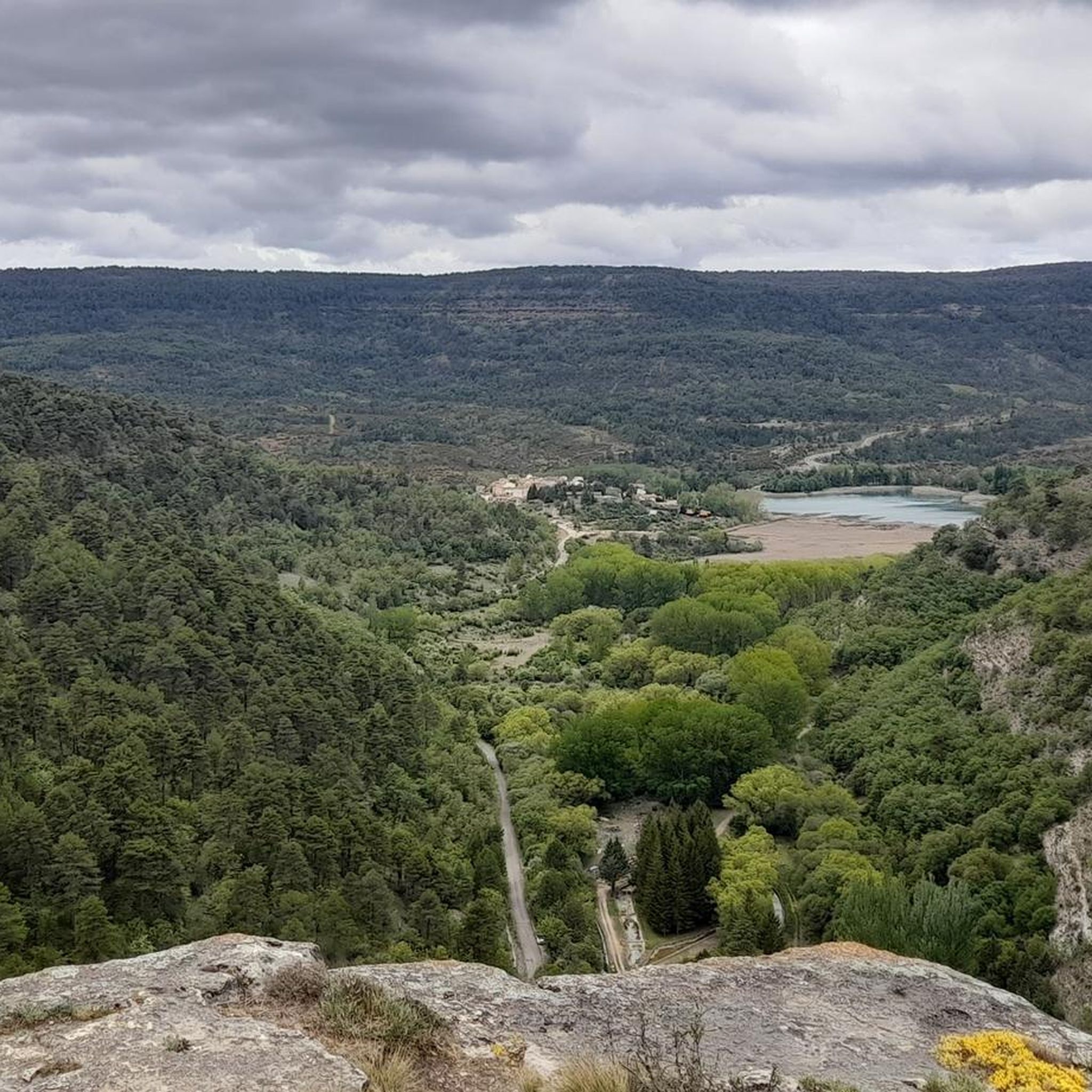
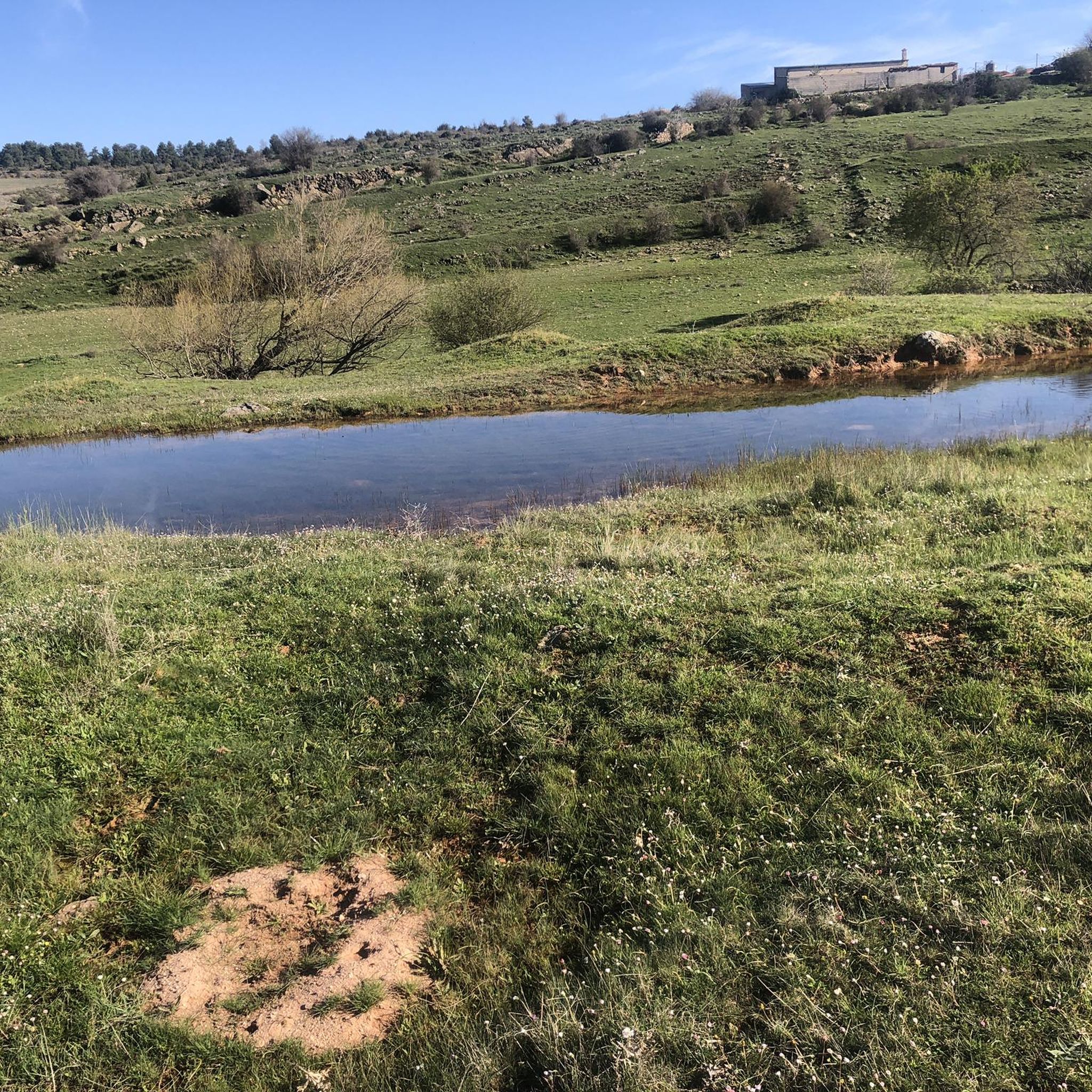
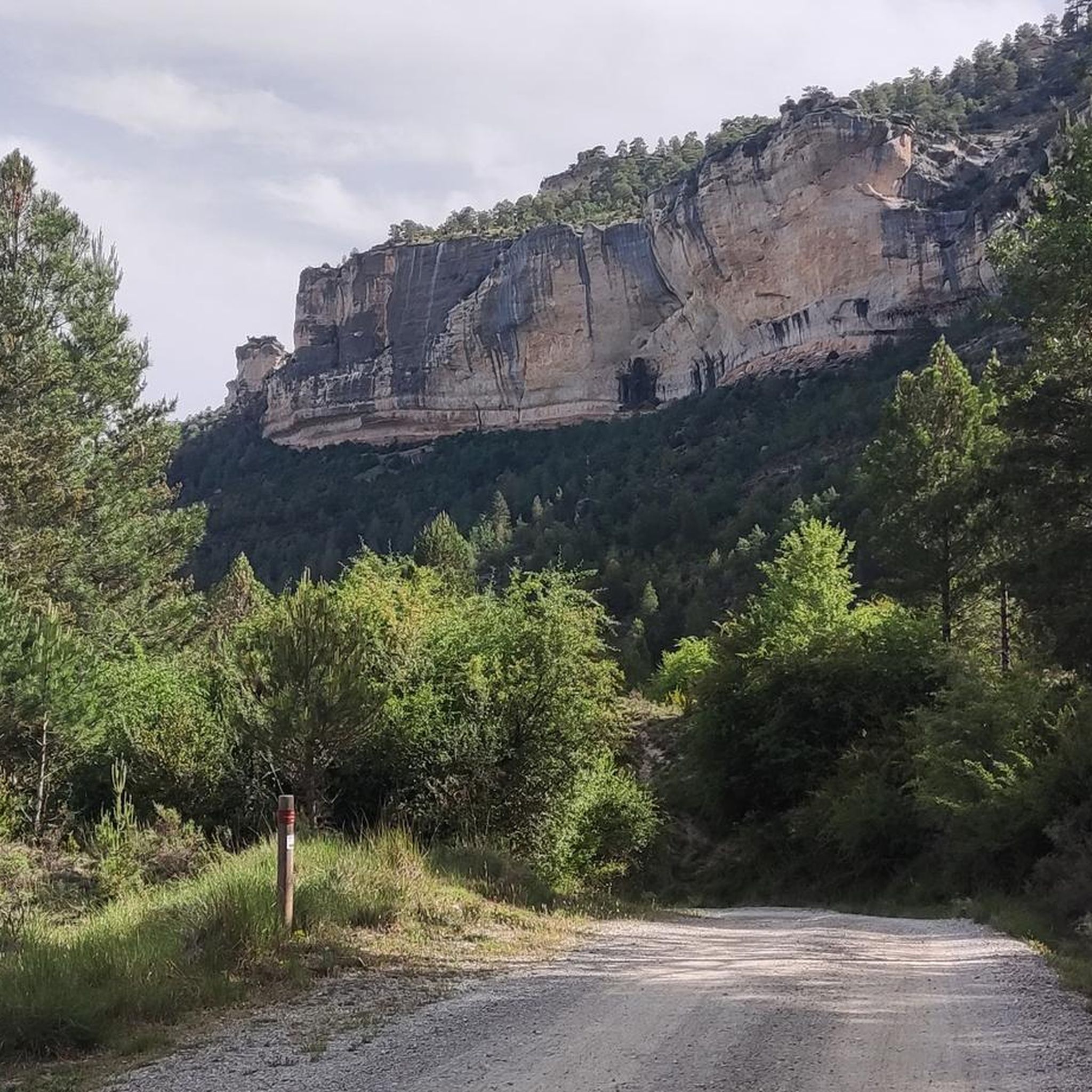
Touring cycling around Serrania Alta offers diverse and captivating landscapes in the northeast of Cuenca, Spain. The region is characterized by dramatic karst topography, featuring elevated plateaus, deep canyons, and river gorges carved by the Júcar, Cuervo, and Escabas rivers. Lush pine forests cover much of the area, providing shaded routes and a sense of immersion in nature. A network of winding roads and tracks traverses this mountainous landscape, part of the Southern Iberian System, offering varied gradients for cyclists.
…Last updated: July 7, 2026
4.0
(3)
57
riders
25.4km
01:39
350m
350m
Moderate bike ride. Good fitness required. Mostly paved surfaces. Suitable for all skill levels.
4.8
(6)
47
riders
52.8km
03:27
720m
720m
Cycle a difficult 32.8-mile (52.8 km) route through Serranía de Cuenca, featuring the unique rock formations of Ciudad Encantada.

Sign up for free
5.0
(2)
30
riders
30.0km
02:07
560m
560m
Cycle the difficult 18.7-mile Cerro del Socorro Loop from Cuenca for panoramic city views and a challenging climb.
11
riders
72.3km
04:51
1,150m
1,150m
Hard bike ride. Very good fitness required. Mostly paved surfaces. Suitable for all skill levels.
12
riders
78.7km
05:28
1,480m
1,480m
Hard bike ride. Very good fitness required. Mostly paved surfaces. Suitable for all skill levels.
5.0
(2)
8
riders
62.3km
04:47
750m
750m
This difficult 38.7-mile touring cycling route around Embalse de la Toba offers stunning reservoir views and challenging terrain.
3
riders
32.2km
02:19
300m
300m
Cycle a moderate 20-mile loop through the Serranía de Cuenca, enjoying mountainous landscapes, river gorges, and dense woods.
3.0
(1)
4
riders
30.5km
02:35
360m
360m
Explore the Parque Natural de la Serranía de Cuenca on this moderate 18.9-mile gravel cycling route, featuring unique rock formations at Las
4
riders
21.2km
01:46
410m
410m
Moderate bike ride. Good fitness required. Some segments of this route may be unpaved and difficult to ride.
4.0
(1)
2
riders
Moderate bike ride. Good fitness required. Mostly paved surfaces. Suitable for all skill levels.
Get access to more routes and recommendations from other explorers.
Sign up for free
Already have an account?
Our route recommendations are based on thousands of hikes, rides, and runs completed by other people on komoot.
Start today with a free account
Your next adventure awaits.
Login or Signup
Other adventures around Serrania Alta


Tips from the Community

The Jucar River is approximately 500 km long and flows from the Montes Universales to Cullera, where it flows into the Gulf of Valencia.
4
0
Uni is a small village amidst natural splendor. Devilsvenster, the Una waterfall, the Una observatory, the enchanting town, and many viewpoints around the village bear witness to a unique environment.
12
0
Enchantment is the right word. Giant mushrooms in an imaginative rocky world seem to depict another planet at night. Yet the 'Enchanted City' (La Ciudad Encantada) just above the Spanish Cuenca is an earthly wonder. One that will spark your imagination as you walk through it.
12
0
Super beautiful spot and very quiet early June, the vultures complete the picture, enjoy this viewpoint with a 100-meter walking path.
1
0

Refuge in perfect condition for spending a night, it had four bunk beds, a fireplace area, and a small stable.
0
0

Spectacular viewpoint overlooking the Júcar River.
1
0

A beautiful village built on a promontory where its castle serves as a lookout for the population. It can be seen from a distance, where there is also a beautiful church in the center of town. This village is the only one with a gas station in the area.
7
0

The official source of water is located at Fuente de García, in the Montes Universales, within the municipality of Frías de Albarracín (Teruel). It is located at an altitude of approximately 1,590 meters, surrounded by pine forests and high mountain meadows. Access is very easy and well signposted. Take the A-1704 highway, which connects Frías de Albarracín with Huélamo (Cuenca). From the highway, a paved detour of approximately 2 km takes you directly to the recreational area and the monument. There is free parking next to the monument.
10
0
Frequently Asked Questions
How many touring cycling routes are available in Serrania Alta?
Serrania Alta offers a wide variety of touring cycling routes, with over 130 options to explore. These routes cater to different skill levels, including 5 easy, 38 moderate, and 96 difficult paths, ensuring there's something for every cyclist.
What kind of terrain can I expect on touring cycling routes in Serrania Alta?
The terrain in Serrania Alta is characterized by dramatic karst topography, featuring elevated plateaus, deep canyons, and river gorges carved by the Júcar, Cuervo, and Escabas rivers. You'll also find lush pine forests and mountainous landscapes, part of the Southern Iberian System, offering varied gradients from gentle climbs to challenging ascents.
Are there any circular touring cycling routes in Serrania Alta?
Yes, many routes in Serrania Alta are circular, allowing you to start and end in the same location. For example, the moderate route Hoz del Júcar y del Huécar — circular desde Cuenca explores the scenic Júcar and Huécar gorges. Another option is the Los Callejones de Las Majadas Loop, which takes you through unique karst formations.
What natural landmarks or viewpoints can I visit while cycling in Serrania Alta?
Serrania Alta is rich in natural wonders. You can cycle past the unique rock formations of the Enchanted City, or enjoy breathtaking views from the Ventano del Diablo viewpoint, which is featured on the difficult Enchanted City and Devil's Window Loop from Cuenca. Other notable spots include the Source of the Cuervo River with its stunning waterfalls, and the geological formations at The Callejones of Las Majadas.
What is the best time of year for touring cycling in Serrania Alta?
Serrania Alta is beautiful throughout the year, but autumn is particularly recommended for touring cycling. During this season, the extensive pine forests burst with vibrant greens, yellows, and ochres, offering shaded routes and a truly immersive experience in nature. Spring also offers pleasant temperatures and lush landscapes.
Are there any family-friendly touring cycling routes in Serrania Alta?
While many routes in Serrania Alta are moderate to difficult, there are some easier options suitable for families. Look for routes with lower elevation gain and shorter distances. The region's diverse landscapes mean even easier paths can offer beautiful scenery without overly challenging terrain.
Can I bring my dog on touring cycling routes in Serrania Alta?
Many natural areas in Serrania Alta are dog-friendly, especially on forest tracks and less crowded routes. However, it's always advisable to check local regulations for specific natural parks or protected areas you plan to visit. Ensure your dog is well-behaved and kept on a leash where required, especially around wildlife.
What do other touring cyclists enjoy most about cycling in Serrania Alta?
The area is highly rated by the komoot community, with an average score of 4.6 stars from over 40 reviews. Reviewers often praise the region's impressive karst formations, lush pine forests, and deep river gorges, highlighting the sense of tranquility and immersion in an unspoiled natural environment. The variety of routes for different ability levels is also frequently appreciated.
Are there any gravel touring cycling routes in Serrania Alta?
Yes, Serrania Alta offers gravel options for touring cyclists. For instance, the Palomera — circular gravel route through the Hoz de Huécar provides a moderate gravel experience. Another option is the Puente de las Tres Provincias — circular gravel from the Nacimiento del Río Tajo.
Are there routes that pass through charming villages in Serrania Alta?
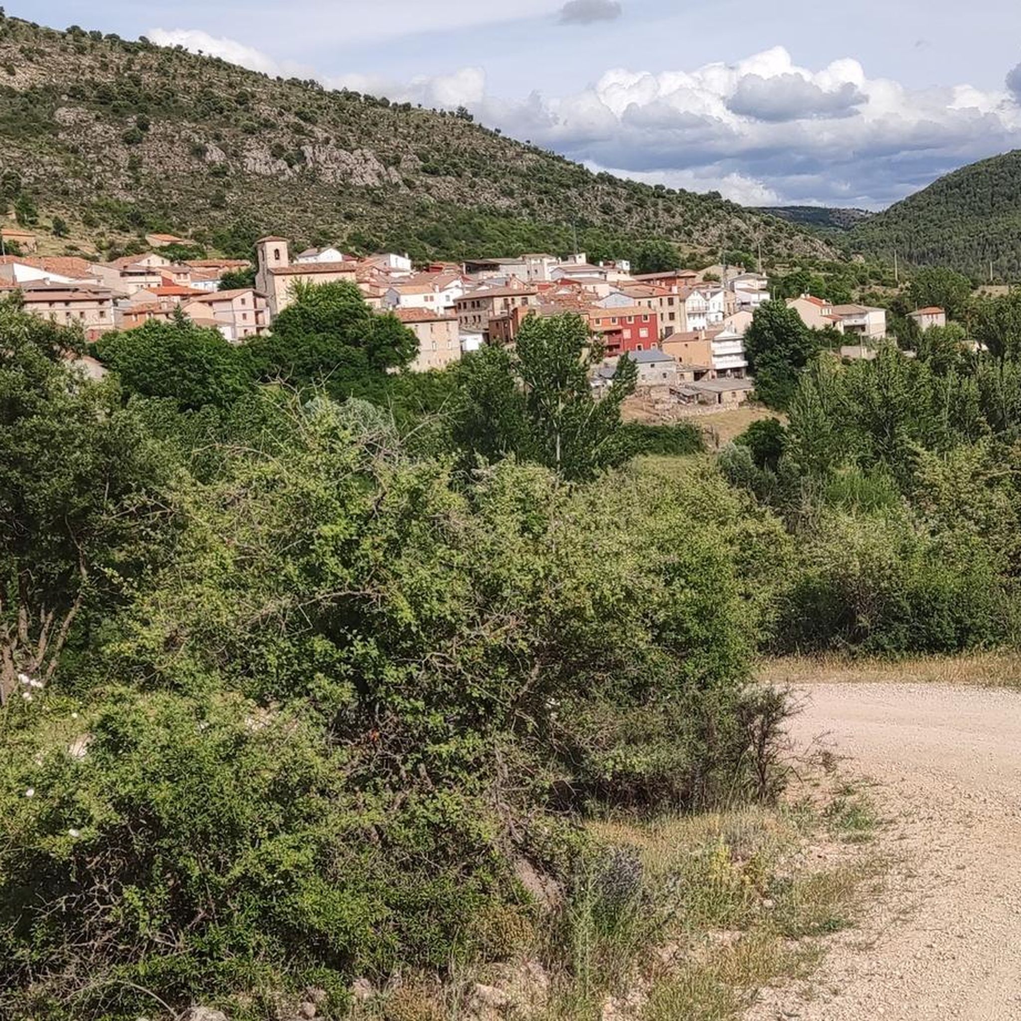
Absolutely. Cycling in Serrania Alta allows you to explore picturesque villages that retain their traditional architecture. Routes like Cañamares, Poyatos y Santa María del Val — circular desde Beteta will take you through interesting localities such as Beteta and Poyatos, offering glimpses into the region's history and culture.
What is the 'Empty Mountains Route' and what does it offer?
The Empty Mountains Route is a well-known bikepacking route that traverses vast pine forests and mountainous landscapes. It's designed for cyclists seeking disconnection and an immersive experience in solitary territories, offering impressive scenery and a sense of wilderness.
Most popular routes around Serrania Alta
Most popular attractions around Serrania Alta

Get inspired with the komoot mobile app


Didn’t find what you were looking for?
Check out more Cycling routes throughout Serrania Alta below and find the perfect route in your destination.
Explore more
Browse the best Cycling routes in other regions.
