The best running trails around Sierra Segura
4.7
(4)
279
runners
34
runs
Jogging routes around Sierra Segura traverse a diverse landscape characterized by extensive pine forests, deep valleys, and significant karstic formations. The region features a vast hydrographic network, including the sources of the Guadalquivir and Segura rivers, with numerous riverside paths. Elevations vary, offering routes through varied scenery, from shaded woodlands to more open terrain. This area, largely within Spain's largest natural park, provides a well-established network of trails suitable for running.
Best jogging routes around Sierra Segura
- The most popular…
Last updated: July 5, 2026
4.0
(1)
4
runners
23.6km
03:33
1,210m
1,210m
Hard run. Very good fitness required. Mostly paved surfaces. Suitable for all skill levels.
35
runners
9.43km
01:23
490m
500m
Hard run. Very good fitness required. Mostly paved surfaces. Suitable for all skill levels.

Sign up for free
5.0
(2)
30
runners
16.9km
02:11
430m
430m
Hard run. Very good fitness required. Mostly paved surfaces. Suitable for all skill levels.
26
runners
27.3km
03:56
1,110m
1,100m
Hard run. Very good fitness required. Mostly paved surfaces. Suitable for all skill levels.
19
runners
7.77km
00:50
120m
120m
Moderate run. Good fitness required. Mostly paved surfaces. Suitable for all skill levels.
16
runners
21.0km
02:48
800m
810m
Hard run. Very good fitness required. Mostly paved surfaces. Suitable for all skill levels.
5.0
(1)
19
runners
10.8km
01:28
360m
360m
Hard run. Very good fitness required. Mostly paved surfaces. Suitable for all skill levels.
10
runners
7.44km
00:55
180m
180m
Moderate run. Good fitness required. Mostly paved surfaces. Suitable for all skill levels.
8
runners
9.63km
01:12
210m
210m
Moderate run. Good fitness required. Mostly paved surfaces. Suitable for all skill levels.
9
runners
17.1km
02:09
580m
580m
Hard run. Very good fitness required. Mostly paved surfaces. Suitable for all skill levels.
Get access to more routes and recommendations from other explorers.
Sign up for free
Already have an account?
Our route recommendations are based on thousands of hikes, rides, and runs completed by other people on komoot.
Start today with a free account
Your next adventure awaits.
Login or Signup
Popular around Sierra Segura
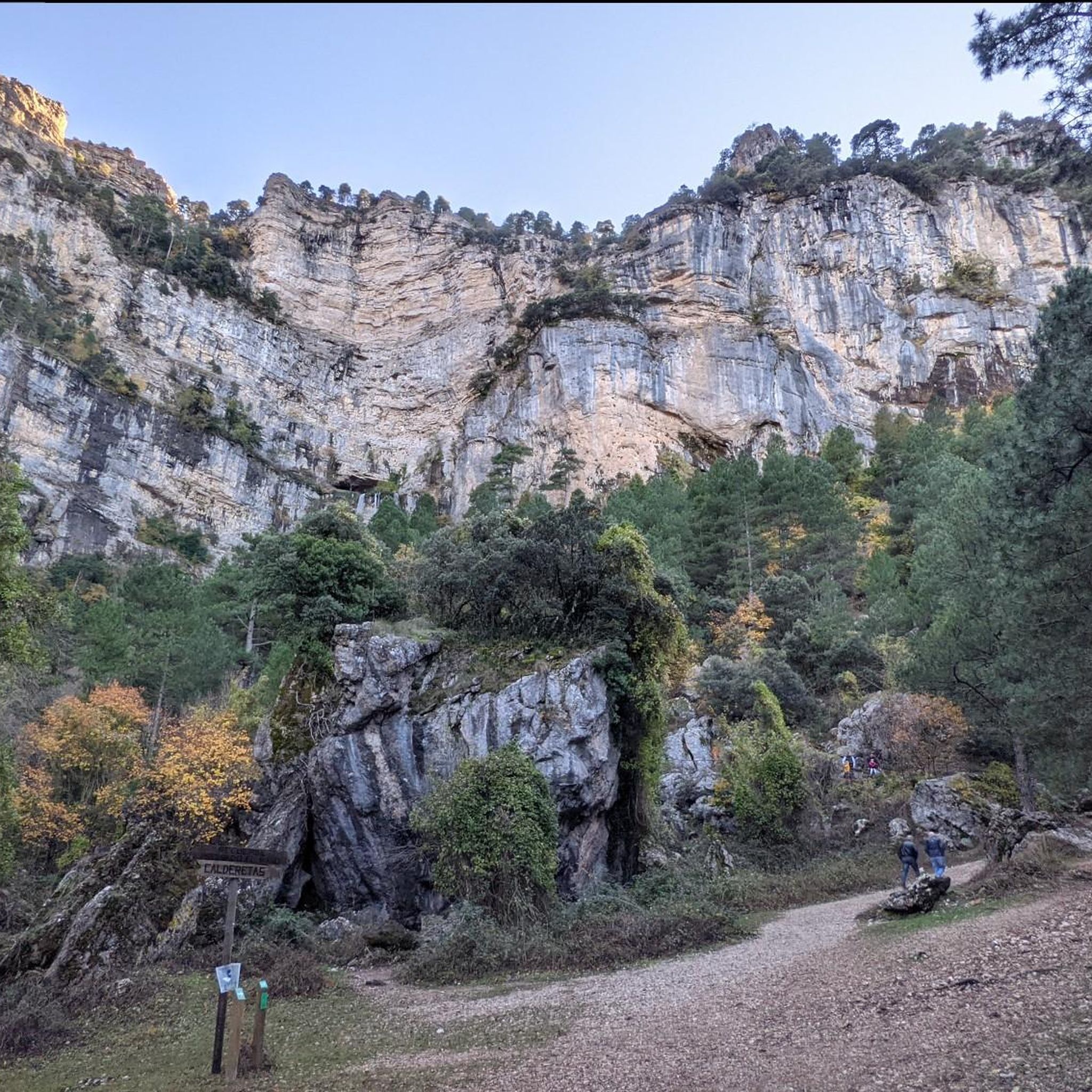
Running Trails in Los Calares Del Mundo Y De La Sima
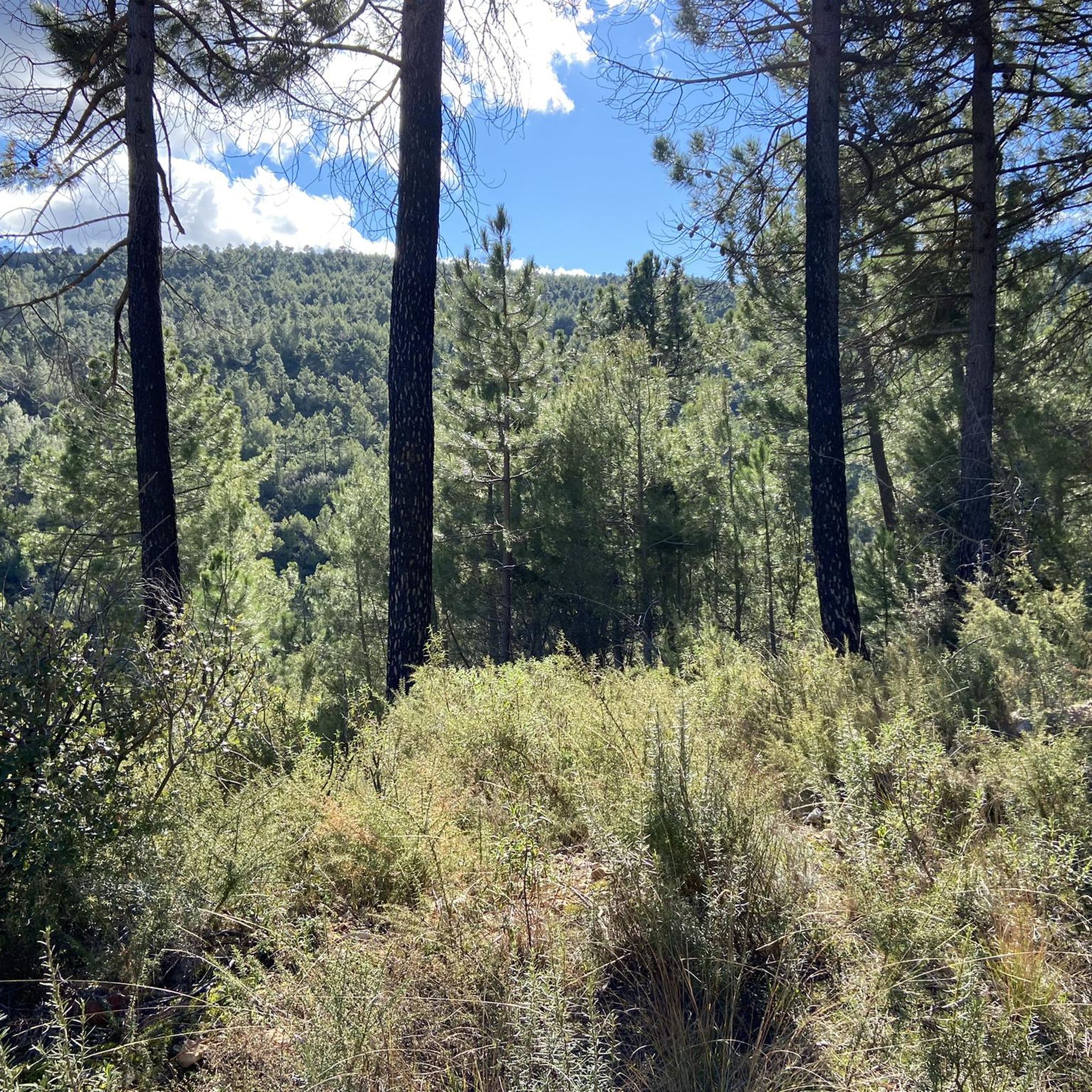
Running Trails around Yeste
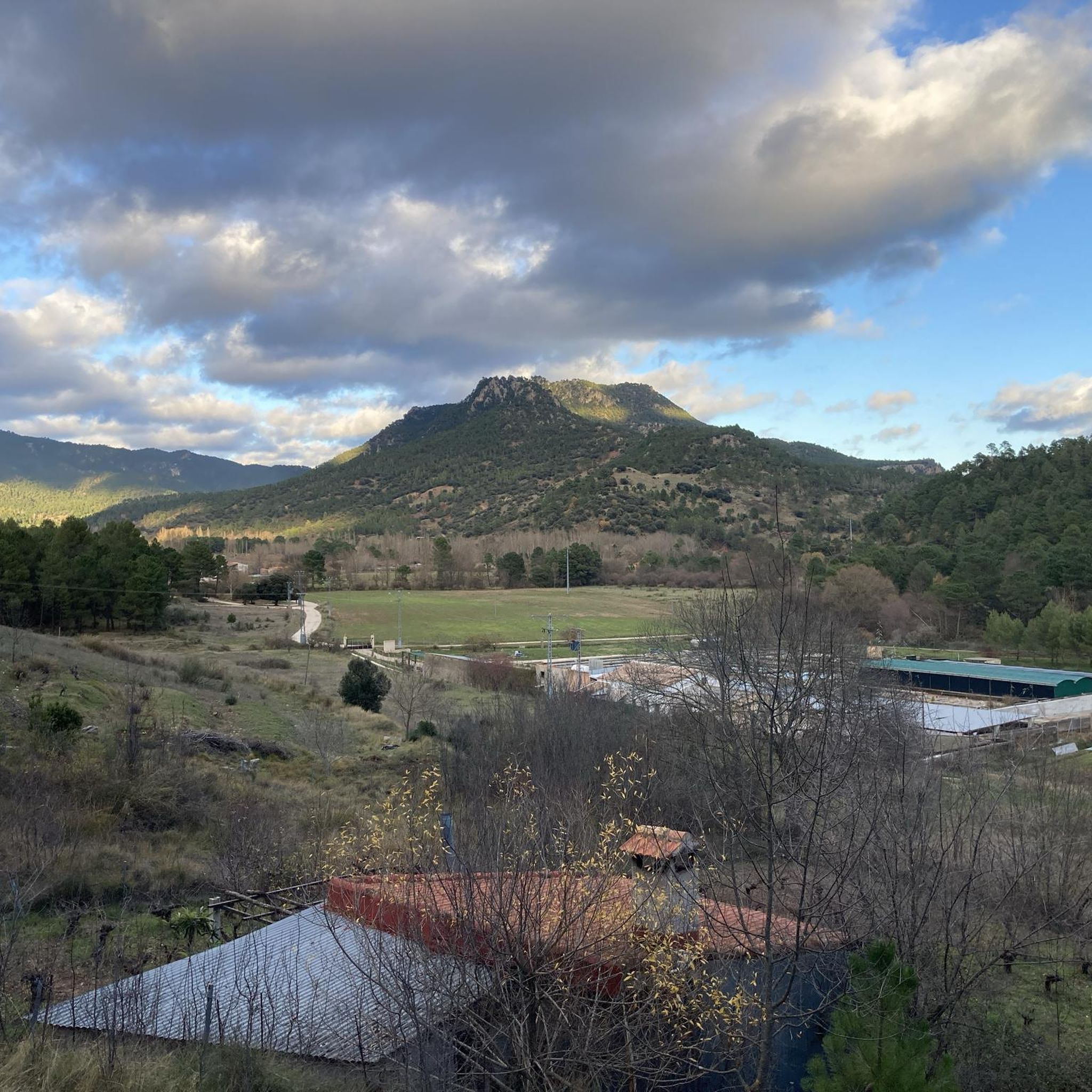
Running Trails around Molinicos
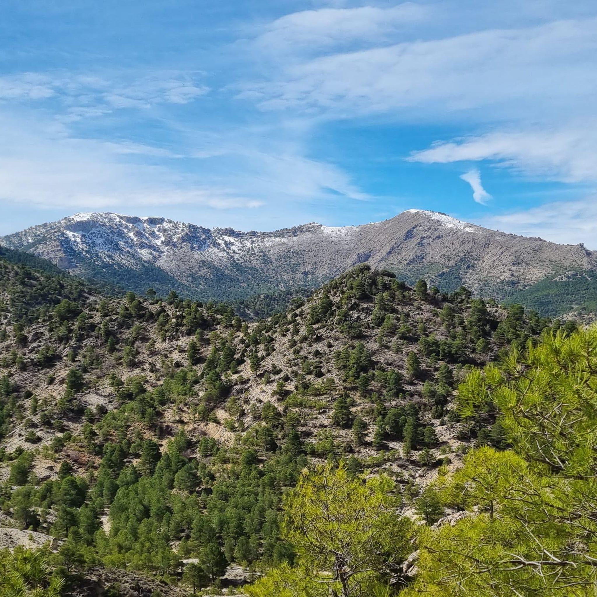
Running Trails around Nerpio
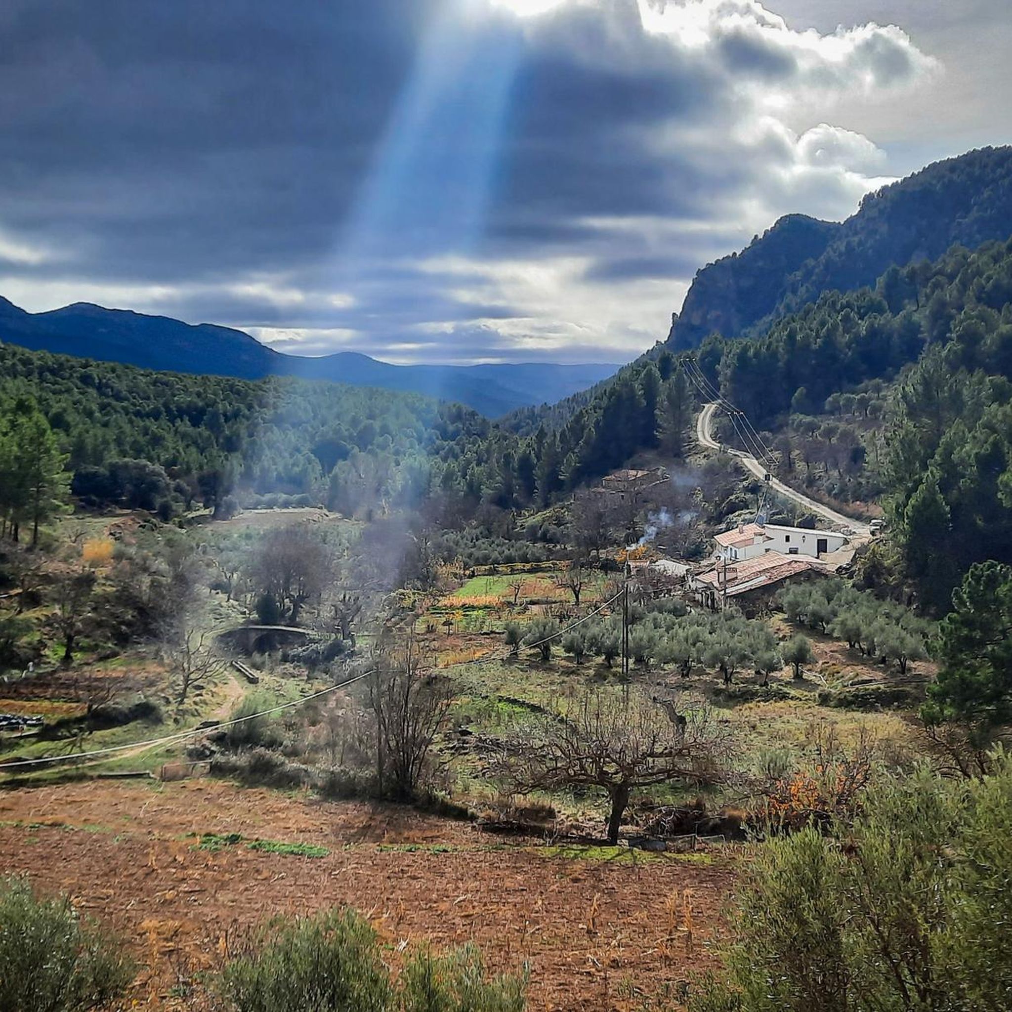
Running Trails in Microrreserva De Peñas Coloradas
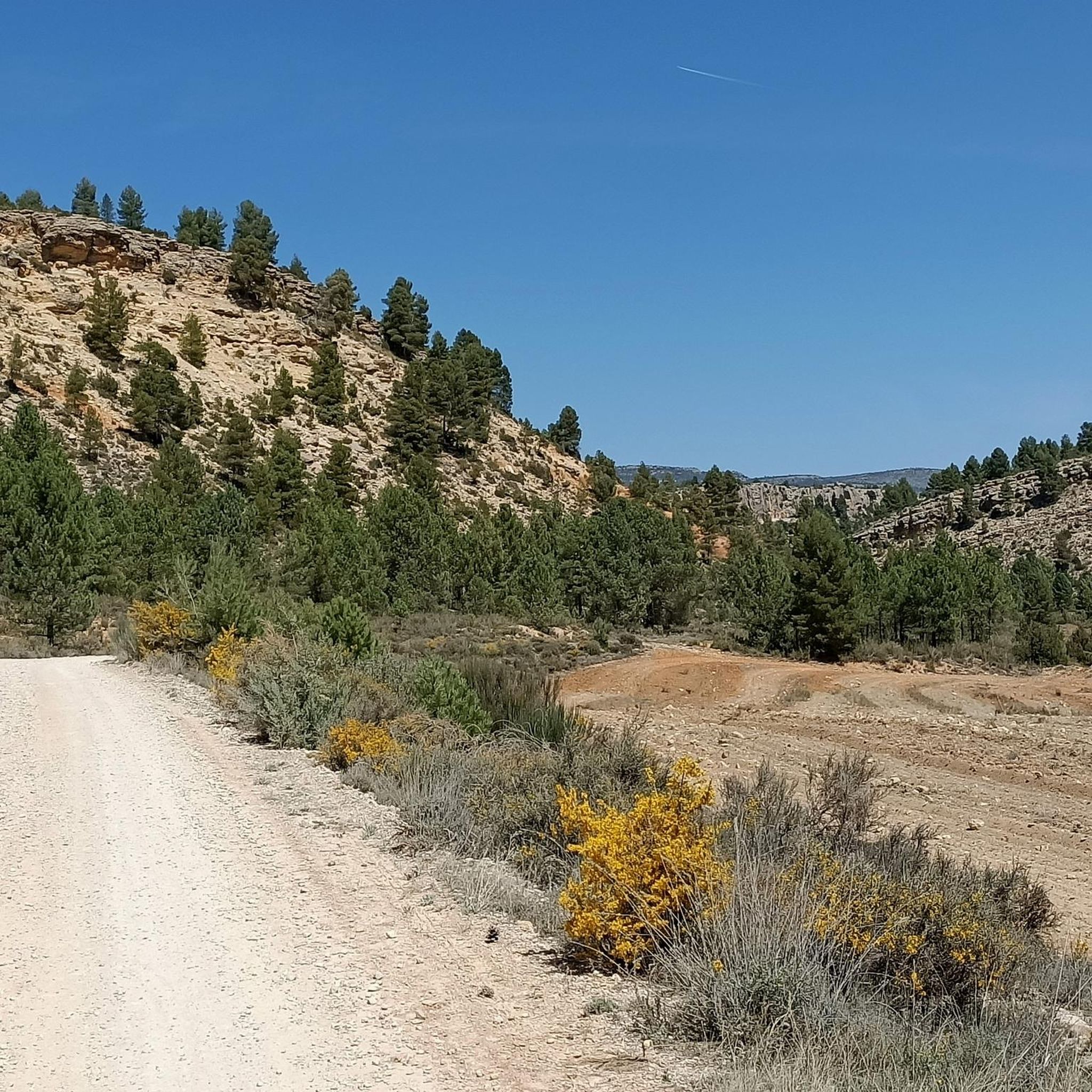
Running Trails in Reserva Natural Sierra De Las Cabras
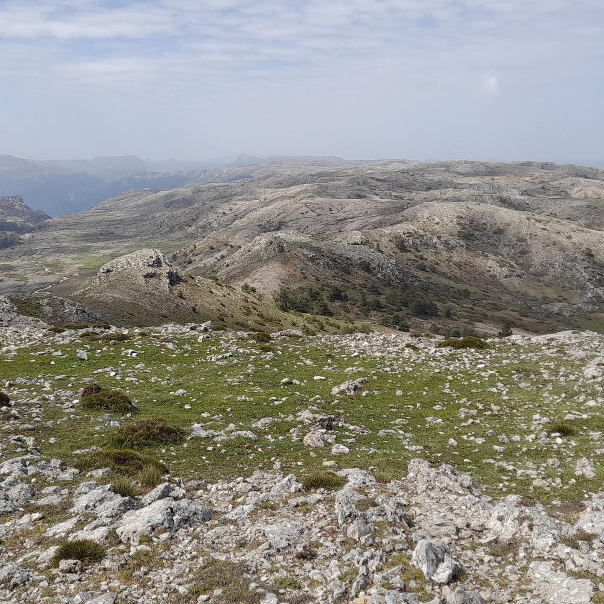
Running Trails around Elche De La Sierra
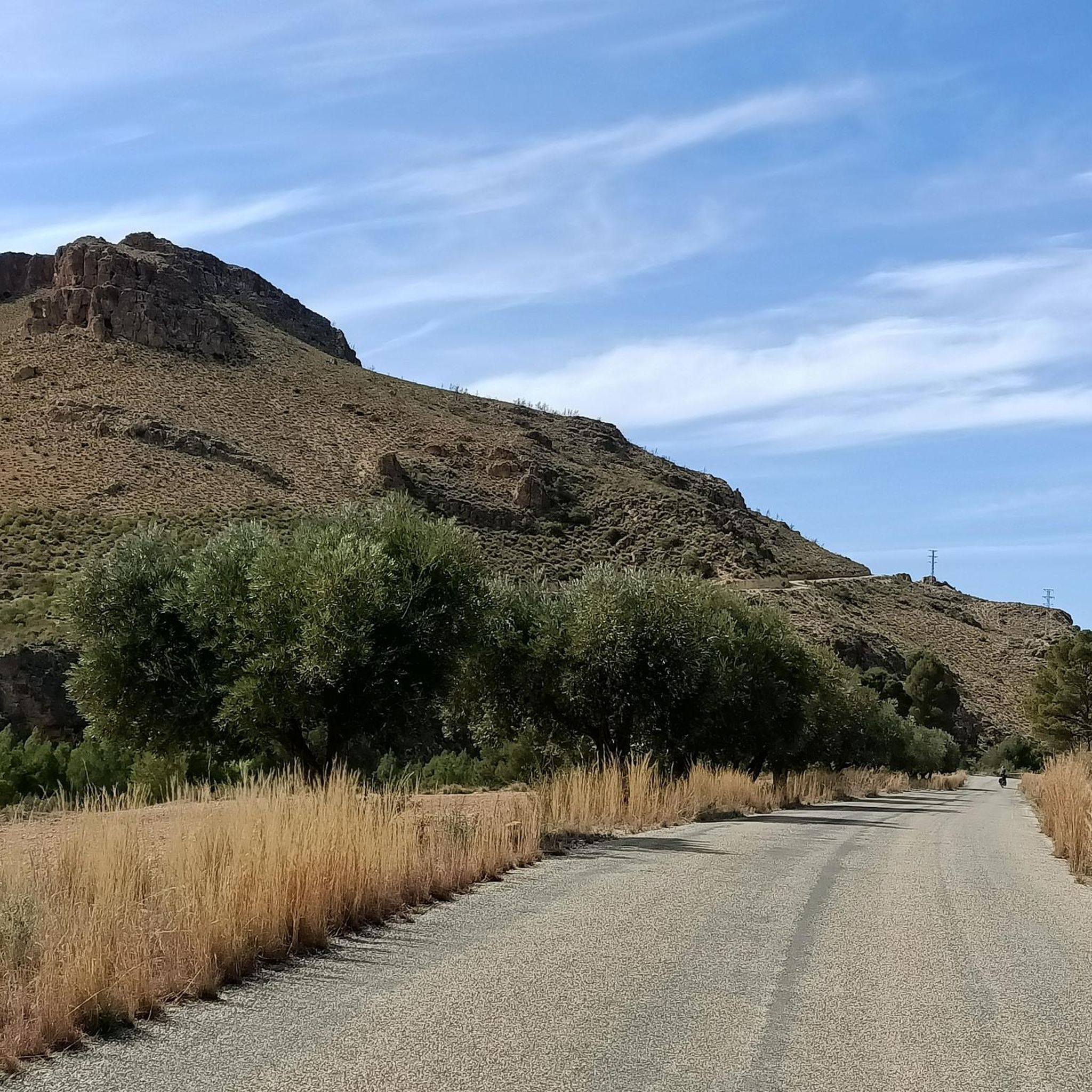
Running Trails around Ayna
Running Trails in Microrreserva Ardal Y Tinjarra
Running Trails around Socovos
Other adventures around Sierra Segura

Tips from the Community

El Rincón Cabero is a charming rural farmhouse located in Yeste, in the province of Albacete, Castilla-La Mancha. This old shepherd's farmhouse has been restored and has more than three centuries of history. Located at the foot of Calar de la Sima and Mentiras, its highest peak, it is ideal for mountain and nature lovers. The house offers a sustainable environment, surrounded by forests, springs and sunlight from which it is supplied.
4
0
Pico Mentiras is one of the highest peaks in the Sierra de Segura, reaching an altitude of 1,896 metres. It is located in Calar de la Sima, within the Calares del Mundo y de la Sima Natural Park. The most common route to climb Pico Mentiras starts from the village of Arguellite.
6
0
La Peña Palomera is an impressive peak located in the Sierra de Segura, near Yeste. It is located in the Calar de la Sima, a mountain formation that extends between the provinces of Albacete and Jaén. One of the most popular routes starts from the village of Arguellite and offers a circular route of approximately 21.9 km with a gradient of 1,040 metres.
5
0

Ayna is the perfect place on the route to eat, rest, and even divide the stage into two parts.
0
0

The castle and the church are the centre of the landscape of Yeste. Even if it is only from the outside, it is worth taking a look.
1
0


But it is undoubtedly the heritage of the Andalusian legacy that has brought beauty and personality to the peculiar urban structure of Letur, crossed by irrigation ditches and a multitude of walkways. The good conservation of the town, one of the jewels of Castilla La Mancha, led to Letur being declared a Historic Artistic Site in 1983. To enjoy the beautiful surroundings of the town there are several short and easy trails. Hiking fans can access the Segura Canyon via the Regalí Trail. The fertile valleys of Letur have facilitated great agro-productive dynamism with such famous companies as 'El Cantero de Letur', dedicated to organic dairy and cheese production.
17
0
Declared a Historic-Artistic Site, Letur is one of the most beautiful towns in Spain thanks to its peculiar urban structure, heritage of the Andalusian legacy and a fertile territory that facilitates its agro-productive dynamism. It is essential to experience the LeturAlma festival promoted by the singer Rozalén. It is located on a hill over several fertile valleys with several viewpoints with impressive views. Its excellent location made it possible for it to have been populated since the Paleolithic, as witnessed by its manifestations of Levantine Rock Art – a World Heritage Site – or the Iberian sites of Macalón, La Muela or Los Castillicos.
21
0
Frequently Asked Questions
How many running routes are available in Sierra Segura?
Sierra Segura offers a wide selection of running routes, with over 35 trails available on komoot. These routes traverse diverse landscapes, from extensive pine forests to deep valleys, providing options for various preferences and fitness levels.
What kind of terrain can I expect on the running trails in Sierra Segura?
The running trails in Sierra Segura feature a diverse topography, including forested peaks, deep valleys, and magnificent karstic formations of dolomitic limestone. You'll find extensive pine forests providing shaded paths, as well as riverside trails along the Guadalquivir and Segura rivers. While some paths are paved, many are accessible dirt trails, offering varied running experiences.
Are there any easy running routes suitable for beginners in Sierra Segura?
Yes, there are routes suitable for beginners. For instance, the Amílcar Barca Viewpoint loop from Elche de la Sierra is a moderate 4.8-mile (7.7 km) trail with relatively gentle elevation changes, making it a good option for those looking for a less strenuous run.
Can I find challenging or advanced running trails in the region?
Absolutely. Sierra Segura is known for its challenging terrain. Routes like Collado Tornero, Pico Mentiras, Peña Palomera, Los Prados — circular, a difficult 14.7-mile (23.6 km) trail, feature significant elevation gain through varied mountain terrain, perfect for experienced runners seeking a demanding workout.
What natural features or landmarks can I see while jogging in Sierra Segura?
Many running routes in Sierra Segura offer stunning natural features and historical landmarks. You might encounter unique geological formations like 'La Toba,' a natural stairway of white travertine, or the labyrinthine Los Anguijones Caves. Some trails pass near historical sites such as the Historic Center of Letur or offer views of the Mirador La Rodea Grande. The region is also home to the sources of the Guadalquivir and Segura rivers, with scenic riverside paths.
Are there any circular running routes in Sierra Segura?
Yes, many routes in Sierra Segura are circular, allowing you to start and end in the same location. An example is the Aýna loop from Aýna, a 5.9-mile (9.5 km) trail that takes you through the rugged landscape surrounding the town.
Is Sierra Segura a good destination for family-friendly running?
While many routes are challenging, some paths are suitable for families, especially those looking for easier, shorter distances. The extensive trail network includes paths of varying difficulty, so families can find less strenuous options, particularly along riverside sections or in flatter forested areas. Always check the route details for distance and elevation before heading out with children.
Are dogs allowed on the jogging routes in Sierra Segura?
Sierra Segura, largely within the Sierras de Cazorla, Segura y Las Villas Natural Park, generally welcomes dogs on trails, though specific rules may apply in certain protected zones or during certain seasons (e.g., nesting periods for birds). It's always best to keep dogs on a leash and ensure they do not disturb wildlife. Check local park regulations for the most current information.
What is the best time of year to go running in Sierra Segura?
The diverse topography of Sierra Segura means conditions vary. Spring and autumn generally offer the most pleasant temperatures for running, with lush landscapes in spring and vibrant colors in autumn. Summer can be hot, especially at lower altitudes, making early mornings or evenings preferable. Winter running is possible, particularly at lower elevations, but higher peaks may experience snow and colder conditions.
Are there options for parking near the running trailheads?
Yes, many trailheads in Sierra Segura, especially those near towns or popular access points, offer parking facilities. Given the region's popularity for outdoor activities, efforts are made to provide convenient access. However, it's always advisable to check specific route information or local maps for parking availability at your chosen starting point.
What do other runners say about their experience in Sierra Segura?
The running routes in Sierra Segura are highly rated by the komoot community, with an average score of 4.7 stars from over 4 reviews. More than 300 runners have used komoot to explore the region's varied terrain, often praising the stunning natural beauty, extensive pine forests, and the challenge offered by the diverse landscapes.
Are there any running routes that pass by water features like rivers or lakes?
Yes, Sierra Segura boasts an extensive hydrographic network. You can find numerous riverside paths, such as those along the Borosa River, which are particularly scenic and feature wooden footbridges and waterfalls. The Charco de Las Canales is another beautiful water feature you might encounter on routes like the Historic Center of Letur – Charco de Las Canales loop from Letur.
Can I find running routes that offer panoramic views?
Absolutely. The diverse topography of Sierra Segura, with its significant elevation changes and peaks, provides many opportunities for panoramic views. Routes like the Castillo de la Yedra (ruinas) loop from Aýna offer challenging ascents rewarded with expansive vistas around historic castle ruins. The
Are there any routes that pass through towns or near amenities like cafes?
Many running routes in Sierra Segura start or pass through charming towns and villages, offering opportunities to access amenities. For example, the Nerpio – Noguera del Molino loop from Nerpio begins in Nerpio, where you can find local cafes and services. Similarly, routes around Aýna provide access to the town's offerings.
Most popular routes around Sierra Segura
Most popular attractions around Sierra Segura

Get inspired with the komoot mobile app


Didn’t find what you were looking for?
Check out more Running Trails & Routes throughout Sierra Segura below and find the perfect route in your destination.
Explore more
Browse the best Running Trails & Routes in other regions.
