The best road cycling routes around Sierra Alcaraz
4.7
(11)
1,716
riders
48
rides
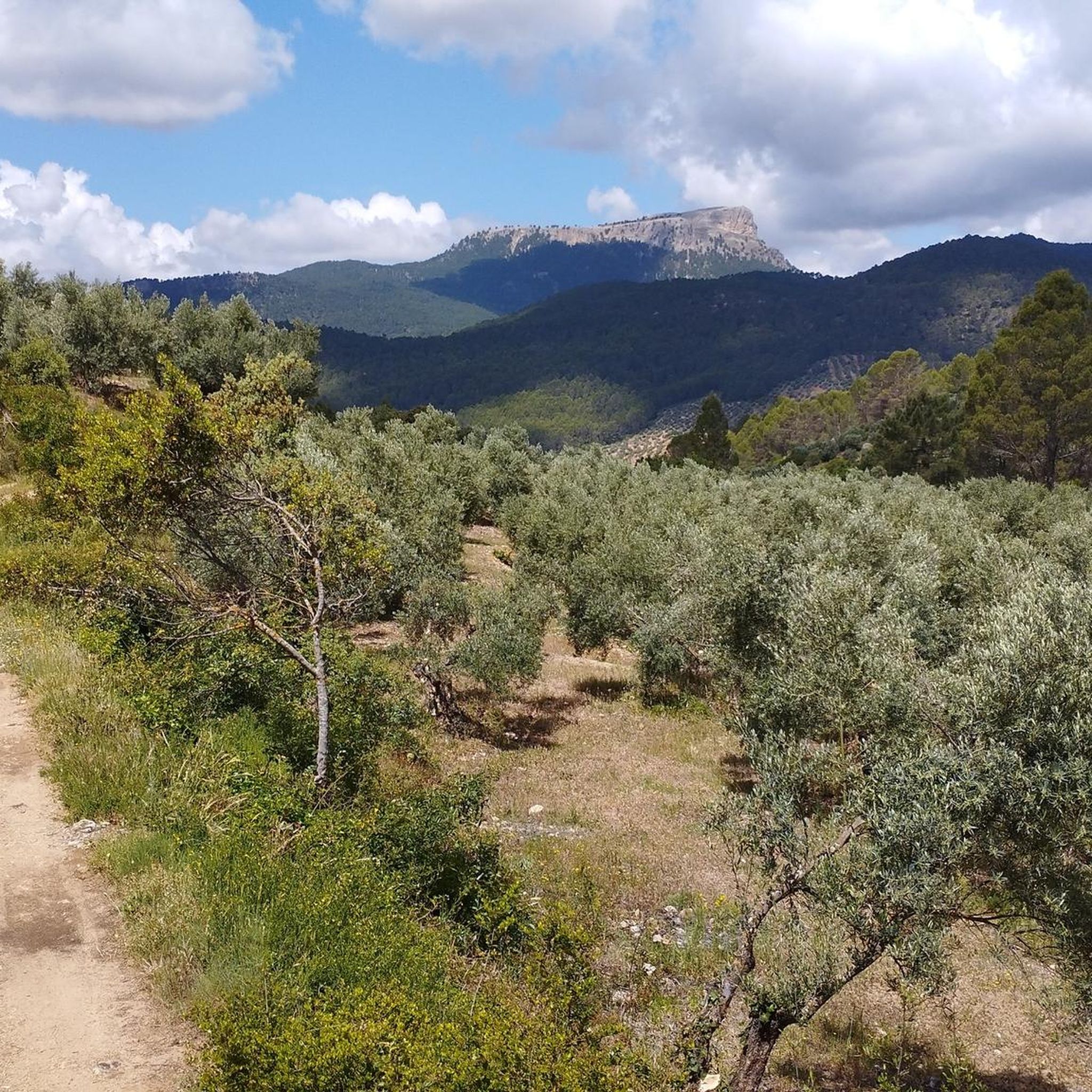
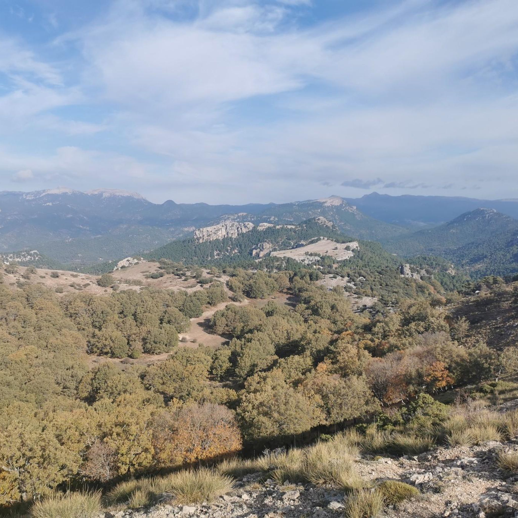
Road cycling around Sierra Alcaraz, located in the province of Albacete in southeast Spain, offers diverse landscapes for cyclists. The region is characterized by its mountainous terrain, part of the Prebetic Cordillera, featuring dramatic peaks, extensive wetlands, and forested sierras with holm oaks and pines. Cyclists can expect varied terrain, transitioning from agricultural plains to rugged mountain roads, with many routes featuring well-maintained asphalt surfaces. This area provides a dynamic backdrop for road cycling, including challenging mountain passes and scenic routes along river sources.
Best road cycling routes around Sierra Alcaraz
- The most popular road cycling route is Calares del Mundo y de la Sima Natural Park Loop, a 51.7 miles (83.2 km) trail that takes 4 hours 28 minutes to complete. This difficult route traverses a natural park, offering varied terrain and significant elevation gain.
- Another top favourite among local road cyclists is Alcaraz — circular from Riópar Viejo, a difficult 54.4 miles (87.5 km) path. This circular route starts from Riópar Viejo, leading through the region's diverse landscapes.
- Local road cyclists also love the Circular El Barrancazo y Paterna del Madera, a 42.2 miles (67.8 km) trail leading through local natural features, often completed in about 3 hours 35 minutes.
- Road cycling around Sierra Alcaraz is defined by mountain passes, forested sierras, and river sources like the Nacimiento del Río Mundo. The network offers options for both moderate and difficult ability levels, with routes featuring significant climbs and descents.
- The routes in Sierra Alcaraz are highly rated by the komoot community with an average score of 5.0 stars from 4 reviews. More than 1000 road cyclists have used komoot to explore Sierra Alcaraz's varied terrain.
Last updated: July 3, 2026
81
riders
83.2km
04:29
1,600m
1,600m
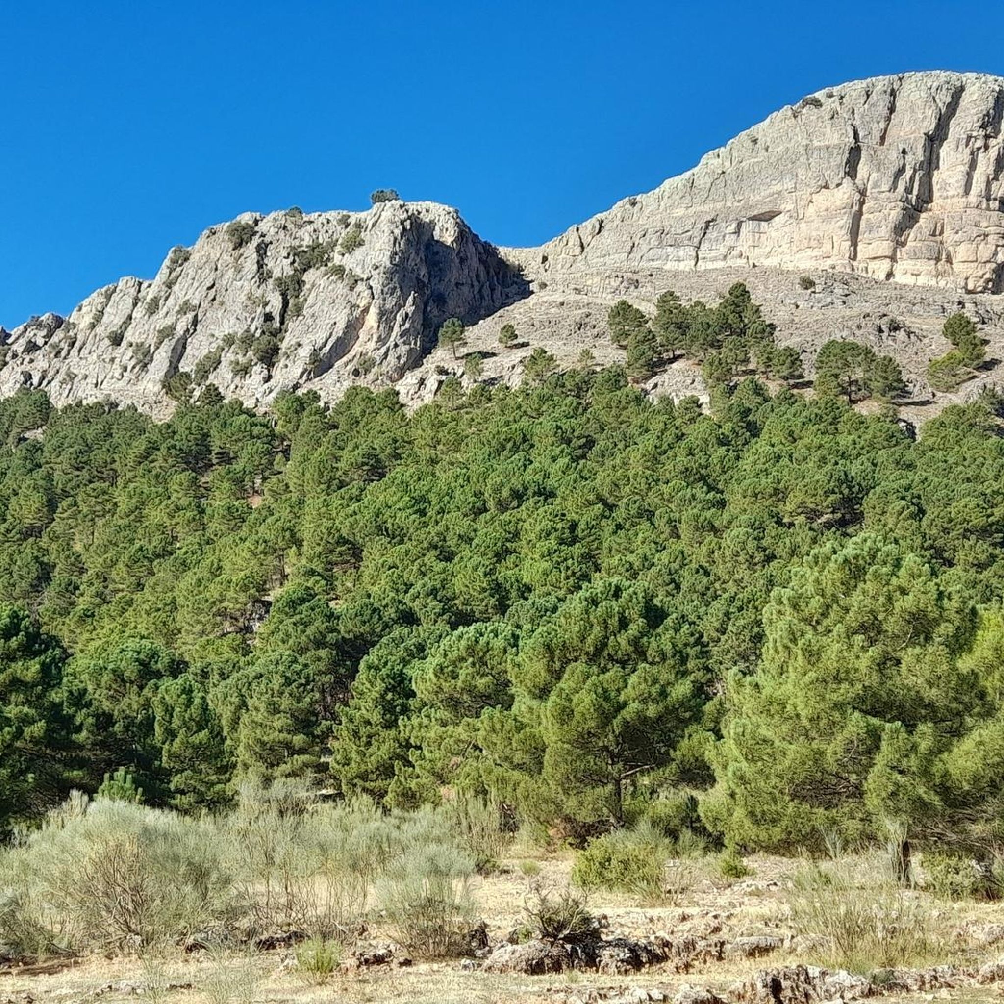
The El Calares del Mundo y de la Sima Natural Park Loop immerses you in a spectacular mountainous landscape, ideal for road cyclists seeking a challenge. The route winds through karst formations and dense pine forests, offering breathtaking views of the Nacimiento del Río Mundo Waterfall, a natural spectacle where water cascades from a cave. It's a visually rewarding experience that combines natural beauty with physical demands.
This road cycling route is rated as difficult, covering a distance of 83.2 kilometers with an elevation gain of 1604 meters, which will take approximately 4 hours and 28 minutes. It's essential to be in good physical condition and have experience with demanding ascents, especially when tackling the challenging Puerto de Las Crucetas. Make sure to carry enough water and check the weather forecast before starting your adventure.
The park is renowned for its unique karst geology, featuring sinkholes and chasms that add a distinctive character to the landscape. Furthermore, it is a Starlight destination, meaning its night skies are exceptionally clear for stargazing. The area is rich in biodiversity, home to over 135 endemic plant species and offering the chance to spot wildlife such as ibex and griffon vultures.
65
riders
87.5km
04:40
1,710m
1,710m
The circular route "Alcaraz — circular from Riópar Viejo" invites you to a deep immersion in the Sierra de Alcaraz, offering an 87.5-kilometer journey that winds through agricultural plains and the imposing mountains of the Cordillera Prebética. Along the way, you'll discover varied landscapes, from dense holm oak and pine forests to river sources, with highlights such as Puerto de Las Crucetas and Estrecho del Hocino. This is a challenging road cycling experience, designed for those seeking a test of endurance with 1711 meters of elevation gain and an estimated duration of 4 hours and 39 minutes.
To tackle this route, good physical condition is essential, and you should be prepared for demanding terrain. Some sections of the route may feature unpaved surfaces, which might require you to dismount and push your bike, so choose your equipment wisely. We recommend planning your ride for the cooler hours of the day, especially in summer, and carrying enough water and provisions for the entire journey.
This route is a favorite among local cyclists for its combination of natural beauty and the challenge it presents. The Sierra de Alcaraz region is known for its rich history and serenity, offering an authentic nature experience. Furthermore, the presence of old railway lines, now converted into greenways in other areas, adds a historical touch to the cycling environment of Albacete province.

Sign up for free
5.0
(3)
35
riders
67.8km
03:36
1,310m
1,300m
The El Barrancazo and Paterna del Madera Loop route plunges you into the heart of the Sierra de Alcaraz, offering a scenic journey through landscapes that transition from agricultural plains to rugged mountains. As you cycle through this area, you'll encounter dense oak and pine forests, craggy ravines, and prominent peaks, especially around Paterna del Madera. It's a road cycling experience that connects you directly with the wild nature of Albacete, ideal for those seeking a challenge and spectacular views.
This 67.8-kilometer route, with an elevation gain of 1310 meters, is classified as difficult and will take you approximately 3 hours and 35 minutes to complete. It is essential that you are in very good physical condition, as some sections may be unpaved and require extra effort, even pushing your bike. Plan your visit for spring or autumn to enjoy the best conditions and be sure to carry sufficient hydration.
The Sierra de Alcaraz is a highly valued destination among the local cycling community, and this route is considered a favorite for its combination of varied terrain and natural beauty. The region, part of the Cordillera Prebética, is known for its extensive wetlands and for being the source of important rivers like the Nacimiento del Río Mundo. It's an opportunity to explore a unique and rewarding mountainous environment.
30
riders
91.6km
05:24
2,040m
2,040m
This difficult 56.9-mile road cycling route from Los Cerezos explores the Río Mundo valley, featuring the stunning Nacimiento del Río Mundo
1
riders
49.1km
02:25
760m
760m
Moderate road ride. Good fitness required. Mostly well-paved surfaces and easy to ride.
1
riders
64.0km
02:44
480m
480m
This moderate 39.8-mile (64.0 km) road cycling route near Alcaraz offers diverse landscapes and historic points of interest.
170
riders
131km
06:52
2,360m
2,360m
Hard road ride. Very good fitness required. Mostly well-paved surfaces and easy to ride.
106
riders
120km
06:13
2,150m
2,150m
Hard road ride. Very good fitness required. Some segments of this route may be unpaved and difficult to ride.
78
riders
94.0km
05:02
1,840m
1,840m
Hard road ride. Very good fitness required. Some segments of this route may be unpaved and difficult to ride.
5.0
(2)
77
riders
47.4km
02:44
920m
920m
Hard road ride. Very good fitness required. Some segments of this route may be unpaved and difficult to ride.
Get access to more routes and recommendations from other explorers.
Sign up for free
Already have an account?
Our route recommendations are based on thousands of hikes, rides, and runs completed by other people on komoot.
Start today with a free account
Your next adventure awaits.
Login or Signup
Popular around Sierra Alcaraz
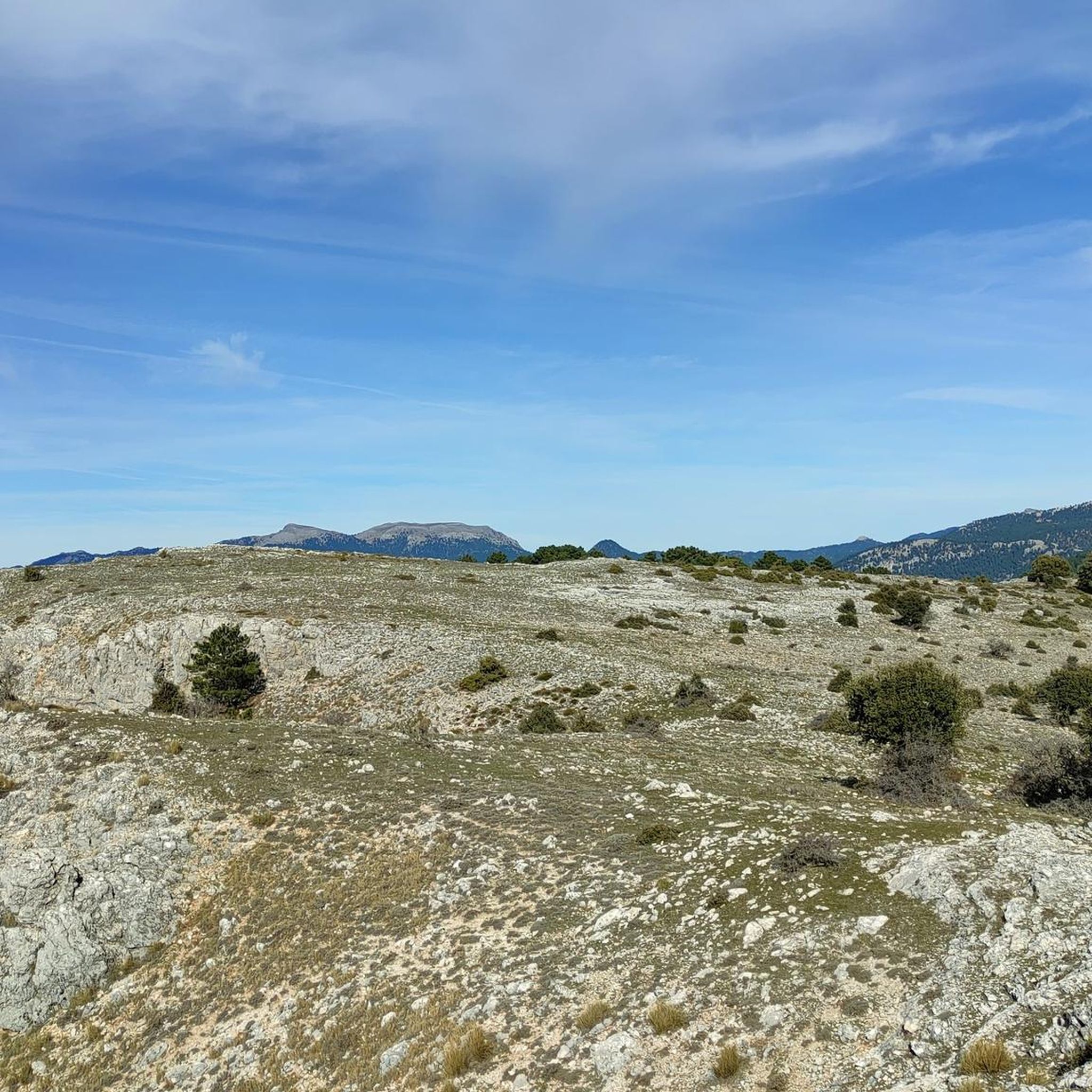
Road Cycling Routes around Cotillas
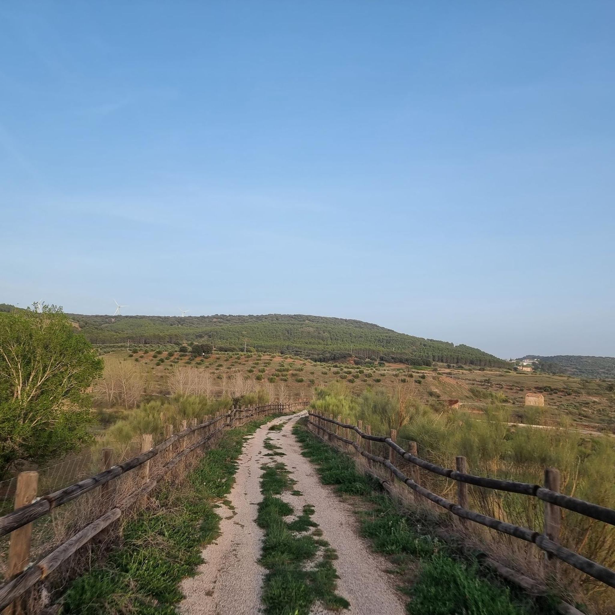
Road Cycling Routes around Povedilla
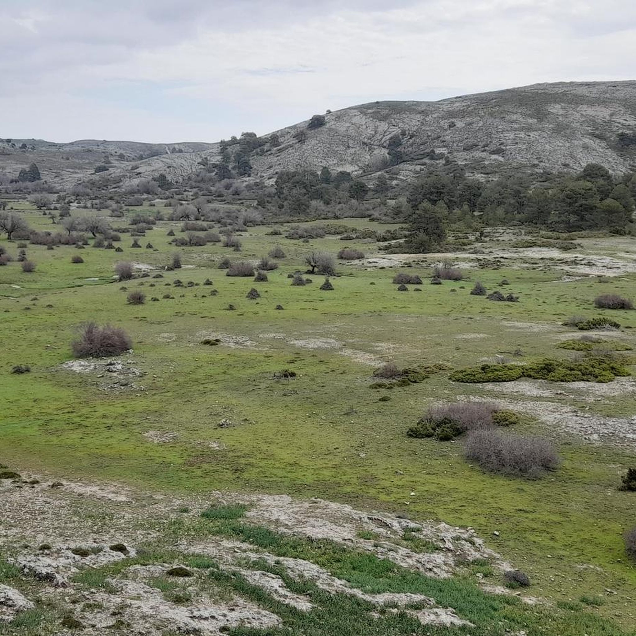
Road Cycling Routes around Riópar
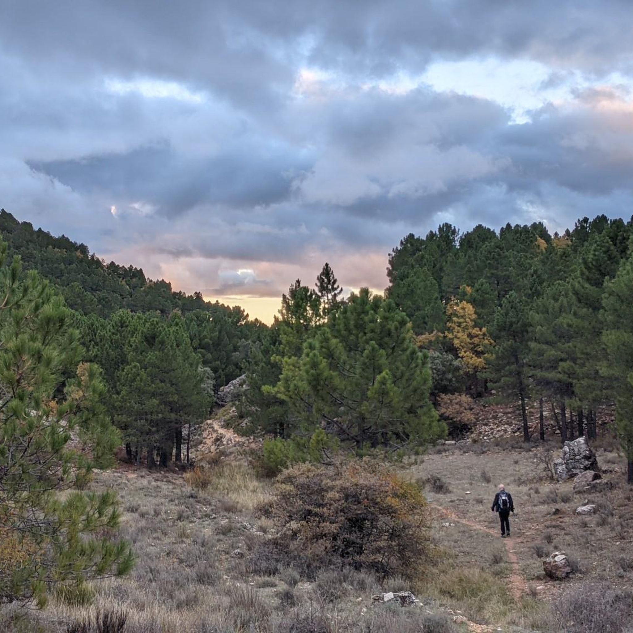
Road Cycling Routes around Alcaraz
Road Cycling Routes around Villaverde De Guadalimar
Road Cycling Routes around Vianos
Road Cycling Routes around Bienservida
Road Cycling Routes around Salobre
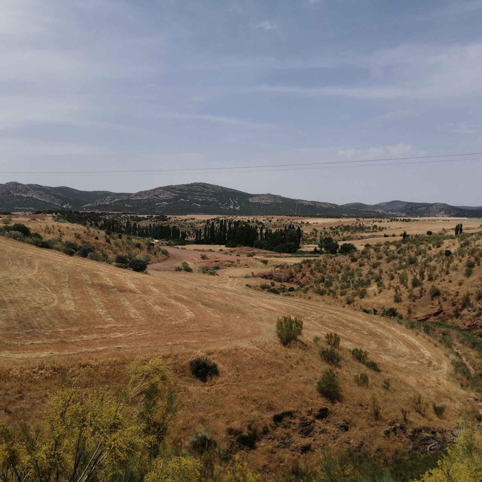
Road Cycling Routes around Villapalacios
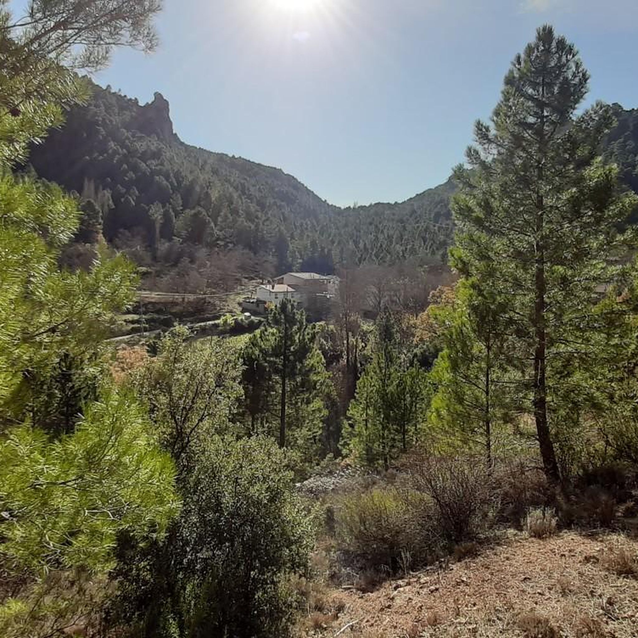
Road Cycling Routes around Peñascosa
Other adventures around Sierra Alcaraz


Tips from the Community

This 1150-meter high pass is located at a "gate" providing access to the source of the Río Mundo. On this esplanade, you can park your vehicle to then set off on foot along a beautiful path. This area even has an underpass to cross the national road.
2
0
There are passes that are remembered for their toughness and others for the landscape they offer. Las Crucetas belongs to the latter. When you stop your bike and look back, it's inevitable to think that every meter of ascent has been worth it. In that instant, the effort disappears and only the satisfaction of contemplating a mountain range that seems to stretch to infinity remains.
3
0
Did you know that...? The pass is located very close to the Calares del Río Mundo y de la Sima Natural Park, one of the most valuable protected areas in Castilla-La Mancha, famous for the source of the river Mundo and for its spectacular karst formations.
3
0
Look out for... The vegetation changes notably as you gain altitude. Aleppo pine predominates, accompanied by kermes oaks, Pyrenean oaks and a undergrowth of rosemary, thyme and lavender. If you do the route in spring, the aroma of Mediterranean plants permeates the entire pass.
3
0
A bit of history: Since ancient times, this pass has served as a communication route between the peoples of the Sierra de Alcaraz and Campo de Montiel. Long before the current roads were laid out, shepherds, merchants, and travelers crossed these mountains following traditional paths that connected Castilla with Andalusia. Today, the road maintains that same role, offering one of the most attractive routes for cyclists and motorcyclists in the province of Albacete.
3
0
El Puerto de las Crucetas, located at an altitude of approximately 1,300 meters, is one of the most important natural passes between the Salobre river valley and the Sierra de Alcaraz. From its summit, the road winds its way through extensive pine forests, offering magnificent panoramic views of a landscape shaped by erosion over millions of years. For the cyclist, reaching this pass means leaving the gentle hills of La Mancha behind to definitively enter the mountains, where the air is cooler, the silence deeper, and nature takes center stage.
3
0

Villanueva de la Fuente, in the Campo de Montiel region (Ciudad Real), is a destination with great historical, cultural, and natural wealth. Beneath the town center are remains of this ancient Hispano-Roman city, with a Roman road and visitable houses. It was an important Iberian and Roman center on the Via Augusta. Parish Church of San Juan Bautista: 16th-century church with a main altarpiece and bell tower that dominates the landscape.
3
0

Ayna is the perfect place on the route to eat, rest, and even divide the stage into two parts.
0
0
Frequently Asked Questions
What kind of terrain can I expect when road cycling in Sierra Alcaraz?
Sierra Alcaraz offers a dynamic and varied landscape for road cyclists. You'll encounter transitions from agricultural plains to rugged, mountainous terrain, adorned with forested sierras, holm oaks, and pines. Many routes feature well-maintained asphalt surfaces, but be prepared for significant climbs and descents, including mountain passes with gradients reaching 8-10%.
Are there many challenging road cycling routes in Sierra Alcaraz?
Yes, Sierra Alcaraz is known for its challenging road cycling routes. Out of the 49 routes available, 37 are classified as difficult, featuring significant elevation gains. For example, the Sierra de Alcaraz and Río Mundo Headwaters Loop covers over 91 km with more than 2,000 meters of elevation gain.
Are there any easier road cycling routes suitable for beginners in Sierra Alcaraz?
While Sierra Alcaraz is predominantly known for its more challenging routes, there are some moderate options available. For instance, the Vilanueva de la Fuente, Viveros y Robledo — circular desde Alcaraz route is classified as moderate, covering about 64 km with less elevation gain compared to the most difficult trails. However, there are no routes specifically classified as 'easy' for road bikes in the region.
Can I find circular road cycling routes in Sierra Alcaraz?
Yes, Sierra Alcaraz offers several excellent circular road cycling routes. Popular options include the difficult Alcaraz — circular from Riópar Viejo, which is 87.5 km long, and the Circular El Barrancazo y Paterna del Madera, a 67.8 km route. For a moderate option, consider the Bienservida and Villapalacios — circular.
What natural attractions can I see along road cycling routes in Sierra Alcaraz?
Road cycling in Sierra Alcaraz offers access to stunning natural features. You can cycle near the spectacular Source of the Mundo River, known for its impressive waterfalls, especially during its 'reventón' season. Other notable waterfalls include Batán Waterfall and Batanes Waterfall. The region also features diverse landscapes from the Lagunas de Ruidera Natural Park to the dramatic peaks of the Prebetic Cordillera.
Are there any historical or cultural landmarks to explore while road cycling in Sierra Alcaraz?
Absolutely. Many road cycling routes pass through or near charming villages and historical sites. You can explore the town of Alcaraz, with its historic architecture and the Plaza Mayor and Towers. The ruins of Castillo de la Yedra are also accessible, offering a glimpse into the region's past. Villages like Riópar and Bogarra also provide cultural stops.
What do other road cyclists enjoy most about road cycling in Sierra Alcaraz?
The komoot community highly rates road cycling in Sierra Alcaraz, with an average score of 5.0 stars from 4 reviews. Cyclists often praise the region's diverse and breathtaking natural scenery, the challenging mountain passes, and the well-maintained asphalt roads that make for an excellent riding experience. The combination of physical challenge and cultural exploration through picturesque villages is also a highlight.
How many road cycling routes are available in Sierra Alcaraz?
There are nearly 50 road cycling routes available in Sierra Alcaraz, offering a wide range of options for different skill levels. This includes 12 moderate routes and 37 difficult routes, ensuring there's a suitable challenge for most road cyclists.
Are there any specific mountain passes that road cyclists should know about in Sierra Alcaraz?
Yes, Sierra Alcaraz features several notable mountain passes that provide invigorating climbs and descents. Key passes include Puerto de Las Crucetas (1300 m), Puerto del Bellotar (1220 m), and Puerto del Arenal (1150 m), with gradients often reaching 8-10%. Routes like the Puerto de las Crucetillas – Los Infiernos Viewpoint loop from Puerto del Arenal incorporate these challenging ascents.
Is the Vía Verde de la Sierra de Alcaraz suitable for road bikes?
The Vía Verde de la Sierra de Alcaraz is an approximately 105-kilometer cycling route that follows an old railway line. While it offers unique scenery, it primarily features compacted earth and gravel surfaces, with only some asphalt sections. It is generally recommended for hybrid or mountain bikes due to potentially unpaved or difficult segments, making it less ideal for traditional road bikes.
What is the best time of year for road cycling in Sierra Alcaraz?
Sierra Alcaraz offers varied terrain, and the best time to visit depends on your preference. Spring (March-May) is ideal for witnessing the 'reventón' of the Mundo River waterfalls and enjoying milder temperatures. Autumn (September-November) also provides pleasant weather and beautiful fall foliage. Summers can be hot, especially in the plains, while winters can bring colder temperatures to the mountainous areas.
Most popular routes around Sierra Alcaraz
Most popular attractions around Sierra Alcaraz

Get inspired with the komoot mobile app


Didn’t find what you were looking for?
Check out more Road cycling routes throughout Sierra Alcaraz below and find the perfect route in your destination.
Explore more
Browse the best Road cycling routes in other regions.
