The best cycling routes around Plan D'Eau De Jumieges
4.3
(650)
4,013
riders
132
rides
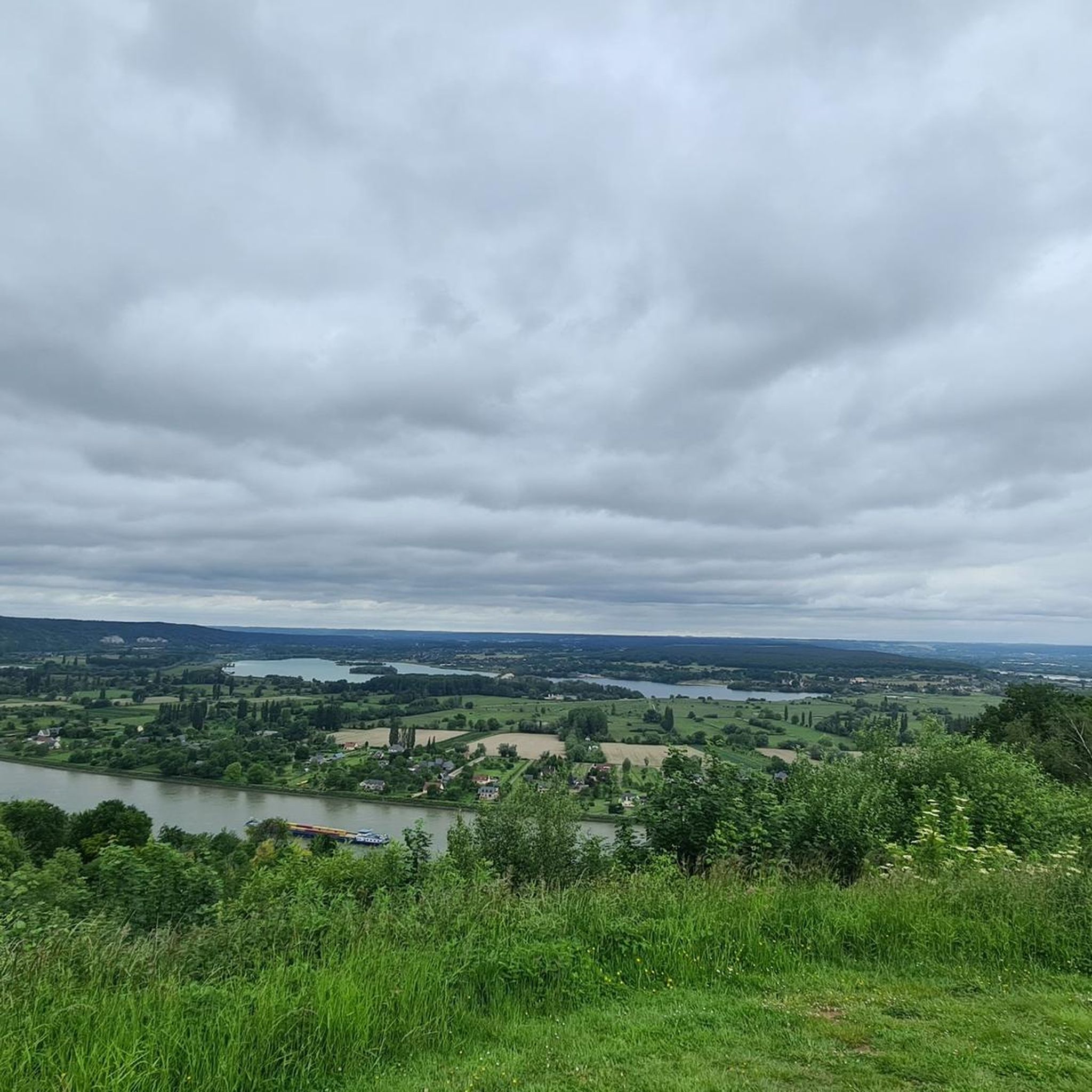
Touring cycling around Plan D'Eau De Jumièges offers routes through the picturesque Boucles de la Seine Normande Regional Natural Park. The landscape is characterized by the meandering Seine River, providing generally flat terrain ideal for cycling, alongside limestone hillsides and extensive forests. The area also features wetlands and orchards, with the Plan d'Eau itself formed from former gravel extraction sites.
Best touring cycling routes around Plan D'Eau De Jumièges
- The most popular touring cycling route is Jumièges Abbey – The…
Last updated: July 5, 2026
4.0
(18)
91
riders
Moderate bike ride. Good fitness required. Mostly paved surfaces. Suitable for all skill levels.
4.5
(2)
40
riders
27.6km
02:29
320m
320m
Moderate bike ride. Good fitness required. Mostly paved surfaces. Suitable for all skill levels.

Sign up for free
24
riders
Easy bike ride. Great for any fitness level. Mostly paved surfaces. Suitable for all skill levels.
10
riders
8.39km
00:30
30m
30m
Easy bike ride. Great for any fitness level. Mostly paved surfaces. Suitable for all skill levels.
5.0
(1)
4
riders
56.7km
03:35
510m
510m
Hard bike ride. Very good fitness required. You may need to push your bike for some segments of this route.
Get access to more routes and recommendations from other explorers.
Sign up for free
Already have an account?
Our route recommendations are based on thousands of hikes, rides, and runs completed by other people on komoot.
Start today with a free account
Your next adventure awaits.
Login or Signup


Tips from the Community


The 3 bridges between Le Havre and Rouen (Normandy, Tancarville and Brotonne (the latter quite dangerous for bicycles) are very high because they have to allow passage of large tonnage boats intended to supply Paris, the Seine being an important component. These boats are then unloaded in Rouen onto smaller tonnage boats which go to Paris. This system of ferries, surprisingly free, is therefore there to compensate for this lack of possible crossings. Do not hesitate to use them, it is really a very nice plus.
0
0

A magical place, ideal as a starting point for hikes and, of course, for visiting the ruins.
0
0

Pretty little town with half-timbered houses.
0
0
There are plenty of free ferries for both bikes and cars. They run quickly and the boatmen are friendly. I think there are eight ferries in total. ☺
1
0

To avoid the extremely high bridges over the Seine, we chose the ferry. We enjoyed the crossing – completely uncomplicated and pleasant. I took photos of the departure times.
1
0


Frequently Asked Questions
How many touring cycling routes are available around Plan D'Eau De Jumièges?
There are over 120 touring cycling routes around Plan D'Eau De Jumièges, offering a wide range of options for different skill levels. Approximately half of these, around 60 routes, are classified as easy, making the area very accessible for casual cyclists and families.
Are there easy touring cycling routes suitable for beginners or families?
Yes, the region is well-suited for beginners and families, with over 60 easy routes. Many paths are generally flat, especially those hugging the banks of the Seine River. A good option is the Jumièges Abbey – Ruins of Jumièges Abbey loop from Le Mesnil-sous-Jumièges, which is 4.4 miles (7.1 km) and takes about 24 minutes, passing through the charming village and past the historic abbey ruins.
What kind of landscapes and natural features can I expect to see while cycling?
The landscape is defined by the meandering Seine River, offering scenic views along its banks. You'll also encounter high limestone hillsides providing panoramic vistas, extensive forests, and charming orchards. The Plan d'Eau itself, formed from former gravel extraction sites, is surrounded by meadows and vegetation, and the region also features diverse wetlands where you might spot unique wildlife like white storks and Camargue horses.
What attractions can I visit along the cycling routes?
Many routes pass by significant attractions. The historic Jumièges Abbey, often called 'the most beautiful ruin in France,' is a frequent point of interest. You can also explore traditional Norman villages like Jumièges, known for its peaceful streets. The Base de Loisirs de Jumièges - Le Mesnil offers various activities and amenities.
Are there circular cycling routes available?
Yes, many routes are designed as loops, allowing you to start and end at the same point. For example, the Jumièges Abbey – The Jumièges ferry loop from Le Mesnil-sous-Jumièges is a 22.0 miles (35.5 km) route that includes a ferry crossing, offering a unique circular experience.
Where can I find parking for my car when cycling in the area?
Parking is generally available in and around the villages, particularly near popular starting points for routes like Le Mesnil-sous-Jumièges and the Base de Loisirs. Specific parking information can often be found on local tourism websites or within the komoot route details for individual tours.
What public transport options are available to reach Plan D'Eau De Jumièges?
While the region is best explored by car or bike, local bus services connect Jumièges with larger towns like Rouen. However, public transport options directly to specific trailheads might be limited, so checking local bus schedules in advance is recommended if you plan to rely on it.
Are there places to eat or get refreshments along the routes?
Yes, the charming villages in the area, such as Jumièges, offer cafes and restaurants where you can stop for refreshments or a meal. The Base de Loisirs de Jumièges - Le Mesnil also provides dining options.
What do other touring cyclists enjoy most about cycling in Plan D'Eau De Jumièges?
The area is highly rated by the komoot community, with an average score of 4.3 stars from over 500 reviews. Reviewers often praise the scenic beauty of the Seine River banks, the tranquility of the forests and orchards, and the historical charm of Jumièges Abbey. The variety of routes, from easy to moderate, is also frequently highlighted.
Can I combine cycling with other activities at Plan D'Eau De Jumièges?
Absolutely! The Base de Loisirs de Jumièges - Le Mesnil offers a wide array of activities including kayaking, paddleboarding, pedal boating, mini-golf, and treetop adventure courses, making it a versatile destination to complement your cycling trip.
Are there any routes that are part of larger cycling networks?
Yes, some routes in the region are integrated into larger cycling networks like 'La Seine à Vélo.' For instance, you can follow a route from Jumièges towards Lillebonne, utilizing a former rail line that is now a greenway, offering connections to broader cycling adventures.
What is a good route for experiencing the diverse terrain of the natural park?
The Bike loop from Le Mesnil-sous-Jumièges is a moderate 17.2 miles (27.6 km) path that offers varied terrain and excellent views of the surrounding Boucles de la Seine Normande Regional Natural Park, typically completed in about 2 hours 29 minutes.
Most popular routes around Plan D'Eau De Jumieges

Get inspired with the komoot mobile app


Explore more
Browse the best Cycling routes in other regions.
