The best walks and hikes around Lac D'Issarles
4.4
(137)
945
hikers
36
hikes
Hiking around Lac D'Issarles offers diverse trails within the Monts d'Ardèche Regional Nature Park. The region is defined by its unique volcanic origins, centered around Lac d'Issarlès, a deep maar crater lake. Surrounding the lake are verdant hills, lush forests, and ancient volcanic cones known as "sucs." Trails traverse varied terrain, including lava flows, basalt cliffs, and woodlands of Scots pines, beech, and larch.
Best hiking trails around Lac D'Issarles
- The most popular hiking route is Tour of Lac d’Issarlès…
Last updated: June 25, 2026
4.6
(34)
430
hikers
3.91km
01:04
60m
60m
Easy hike. Great for any fitness level. Easily-accessible paths. Suitable for all skill levels.
4.7
(11)
88
hikers
13.5km
04:23
410m
410m
Hard hike. Good fitness required. Sure-footedness, sturdy shoes and alpine experience required.

Sign up for free
5.0
(3)
9
hikers
4.37km
01:10
50m
50m
Easy hike. Great for any fitness level. Easily-accessible paths. Suitable for all skill levels.
3.7
(3)
8
hikers
15.6km
05:01
520m
520m
Hard hike. Very good fitness required. Sure-footedness, sturdy shoes and alpine experience required.
3.3
(3)
7
hikers
16.0km
04:58
490m
490m
Hard hike. Good fitness required. Sure-footedness, sturdy shoes and alpine experience required.
Get access to more routes and recommendations from other explorers.
Sign up for free
Already have an account?
Our route recommendations are based on thousands of hikes, rides, and runs completed by other people on komoot.
Start today with a free account
Your next adventure awaits.
Login or Signup
Tips from the Community

The loop trails are very nice! Small disappointment once at the top not to find a spot where you can enjoy a picnic with a view of the lake :)
0
0

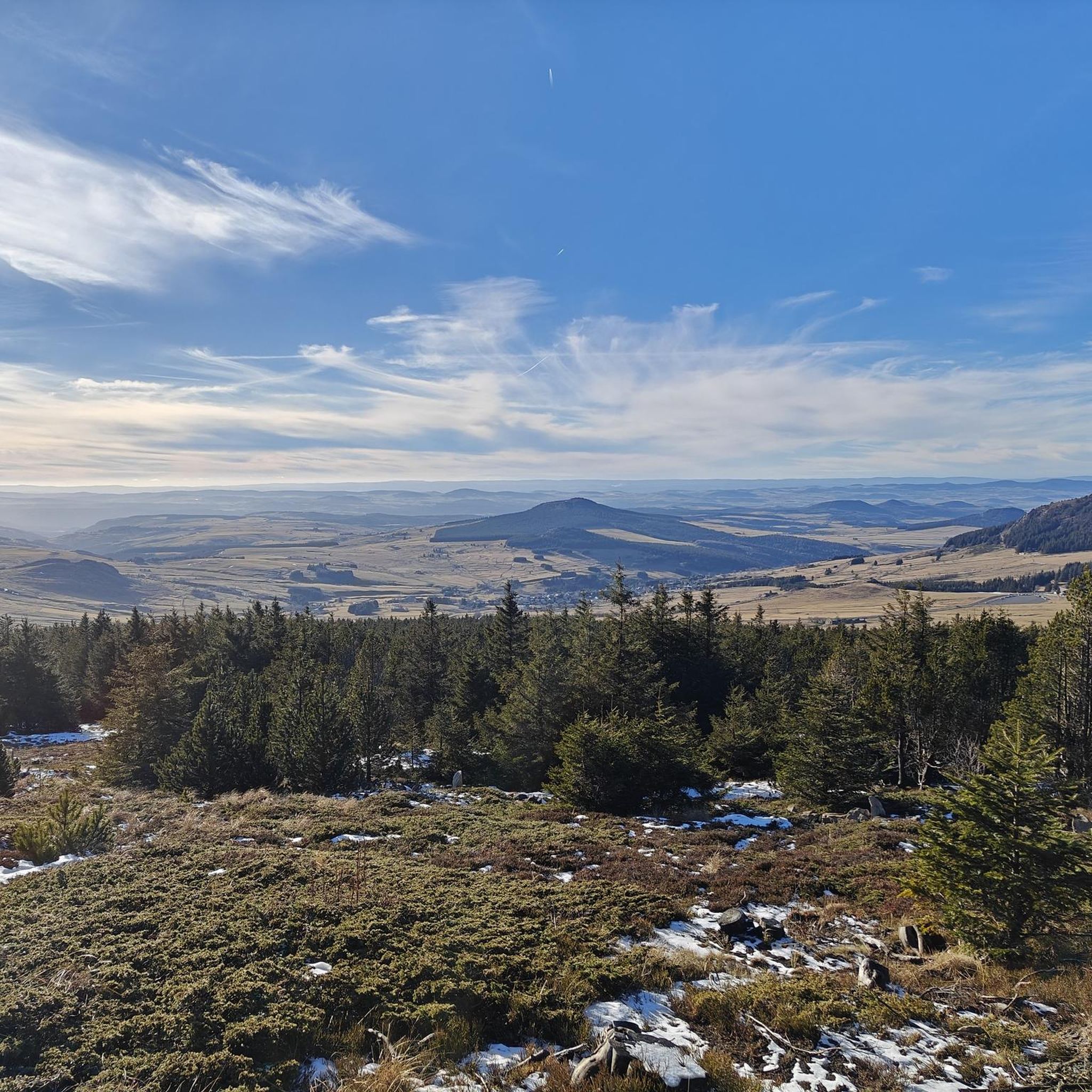
At 1,343 meters above sea level, the Suc de Cherchemuse is an ancient volcano in the Velay region. From its summit, you benefit from a pleasant view of the great juices of the Mézenc massif.
0
0

Very nicely located grotto, you can also go swimming below.
0
1

Stroll around the lake on Sunday July 23, 2023. Very pleasant because it is largely shaded. Provide credit card (no possibility to pay in cash) for paid parking from 01/06 to 30/09, package 3€. Lots of people on the beaches and around.
1
0

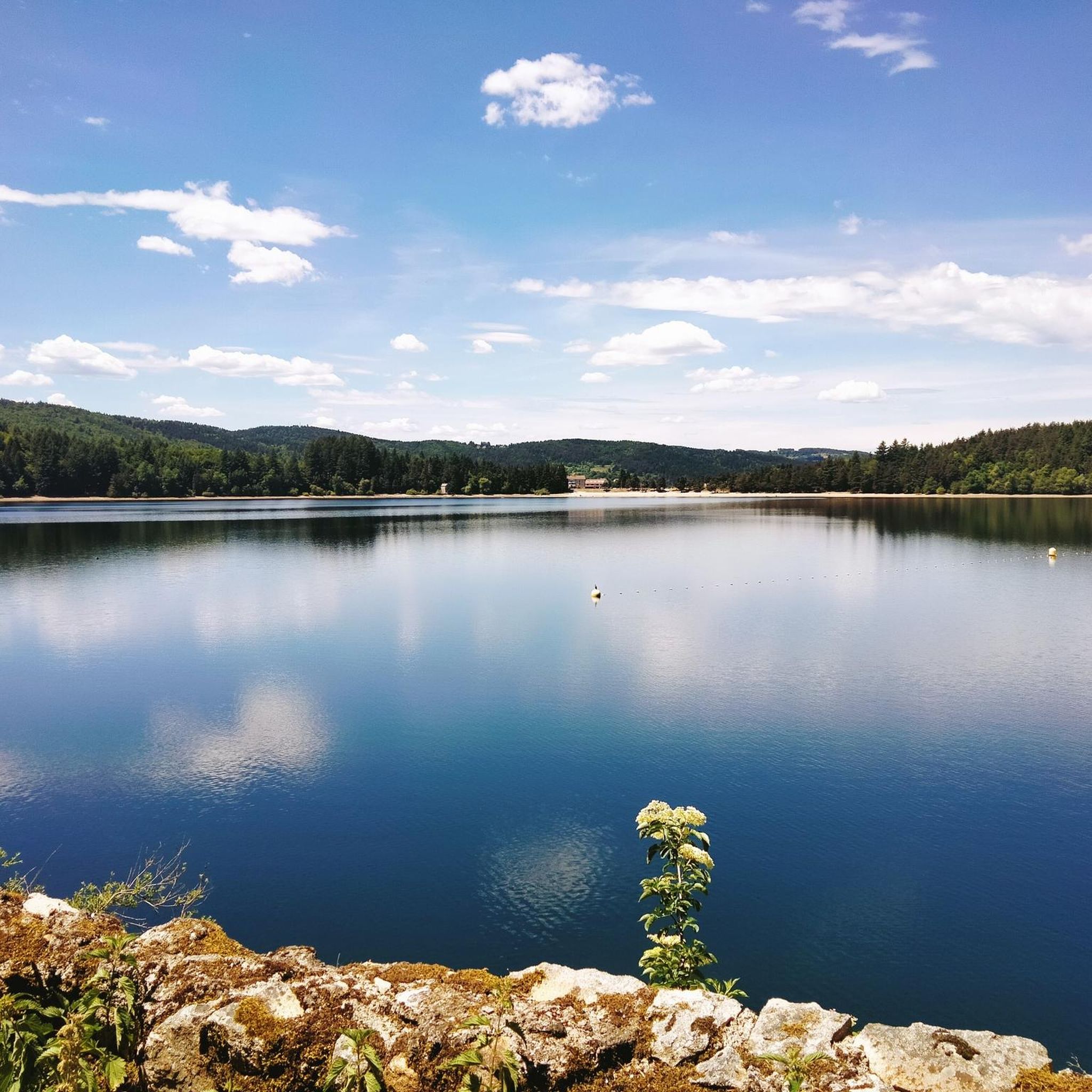
Crater lake, 1,000 meters above sea level with a very pleasant beach for swimming. Very calm. Good food options around and public restrooms.
0
1

While jogging around this lake, be aware that it is extremely deep (138 m)! The lake was created by the escape of magma from a chamber below the lake.
3
0
As you walk around this lake, be aware that it is extremely deep (138 m)! The lake was created by the escape of magma from a chamber beneath the lake.
3
0

This view awaits you when you come out of the forest
1
0
Frequently Asked Questions
How many hiking trails are available around Lac D'Issarles?
There are over 30 hiking routes around Lac D'Issarles, catering to various skill levels. You'll find 11 easy trails, 12 moderate options, and 7 more challenging routes to explore the region's volcanic landscapes and forests.
What is the best time of year for hiking around Lac D'Issarles?
The best time for hiking around Lac D'Issarles is generally from spring through autumn. During these seasons, the weather is pleasant for exploring the verdant hills and forests. Summer offers opportunities for swimming in the lake after a hike, while autumn brings vibrant colors to the larch and beech trees. Even in winter, the area transforms, offering possibilities for snowshoeing and cross-country skiing.
Are there any easy, family-friendly walks around Lac D'Issarles?
Yes, the area offers several easy and family-friendly options. The Tour of Lac d’Issarlès is a popular choice, an easy 2.4-mile (3.9 km) shaded and flat path that circles the lake, perfect for all ages. Depending on the season, you might even spot squirrels or forage for wild berries.
Are there any circular hiking routes in the Lac D'Issarles area?
Many of the trails around Lac D'Issarles are circular, allowing you to start and end at the same point. A great example is the Lac d’Issarlès loop from Le Lac-d'Issarlès, a moderate 5.3-mile (8.5 km) path that explores the surrounding hills and forests, offering varied scenery.
What kind of natural features or landmarks can I expect to see while hiking?
Hiking around Lac D'Issarles offers a unique glimpse into the region's volcanic past. You'll encounter the deep, clear waters of Lac d'Issarlès itself, which occupies France's deepest maar crater. Trails lead through ancient volcanic cones known as "sucs," lava flows, and basalt cliffs. The landscape is also rich with diverse woodlands of Scots pines, beech, and larch trees. Don't miss the panoramic views from the summit of Suc de Cherchemuse or the Col du Gage belvedere.
Are there any challenging hikes for experienced trekkers?
Absolutely. For those seeking a more strenuous adventure, the Suc de Cherchemuse – Lac d’Issarlès loop from Le Lac-d'Issarlès is an excellent choice. This 8.4-mile (13.5 km) trail leads through volcanic landscapes to the summit of an ancient volcano, offering an altitude difference of approximately 460 meters and rewarding hikers with stunning vistas of the lake and the Mézenc massif.
What do other hikers enjoy most about the trails around Lac D'Issarles?
The trails around Lac D'Issarles are highly rated by the komoot community, with an average score of 4.4 stars from over 120 reviews. Hikers often praise the diverse scenery, from the tranquil lakeside paths to the challenging volcanic ascents, and the well-maintained routes that showcase the region's unique natural beauty.
Is there parking available near the hiking trails?
Yes, parking is generally available in and around the village of Issarlès, particularly near the lake. Many trailheads, especially for popular routes like the lake loop, have designated parking areas to accommodate hikers.
Can I bring my dog on the hiking trails around Lac D'Issarles?
The Monts d'Ardèche Regional Nature Park, where Lac D'Issarles is located, is generally dog-friendly. However, it's always recommended to keep your dog on a leash, especially in areas with wildlife or near livestock, and to check specific trail regulations for any restrictions. Many local trails are suitable for walks with your canine companion.
Are there opportunities for swimming or other water activities after a hike?
Yes, Lac d'Issarlès is perfect for cooling off after a hike. Its clear, pleasantly warm waters are ideal for swimming, with an equipped beach and supervised bathing during the summer season. You can also enjoy other water activities like canoeing, paddleboarding, and pedal boating on the lake.
What is the volcanic history of Lac D'Issarles?
Lac d'Issarlès is a remarkable example of the region's volcanic past, formed by a phreatomagmatic explosion approximately 60,000 to 8,000 years ago. It is France's deepest maar crater lake, reaching depths of over 108 meters. The surrounding landscape, with its ancient "sucs" (volcanic cones) and basalt formations, is a direct result of this intense geological activity.
Are there any trails that offer views of rivers or waterfalls?
Beyond the lake itself, some paths in the wider area lead to the confluence of the Gage and the Loire rivers. Here, you can enjoy views of the wild Loire, its tributary the Orcival, and discover pretty pools, smaller waterfalls, and impressive basalt cliffs, showcasing another facet of the region's natural beauty.
Most popular routes around Lac D'Issarles

Get inspired with the komoot mobile app


Explore more
Browse the best Hikes in other regions.
