The best walks and hikes around Etang De Noyalo
4.5
(1944)
13,428
hikers
366
hikes
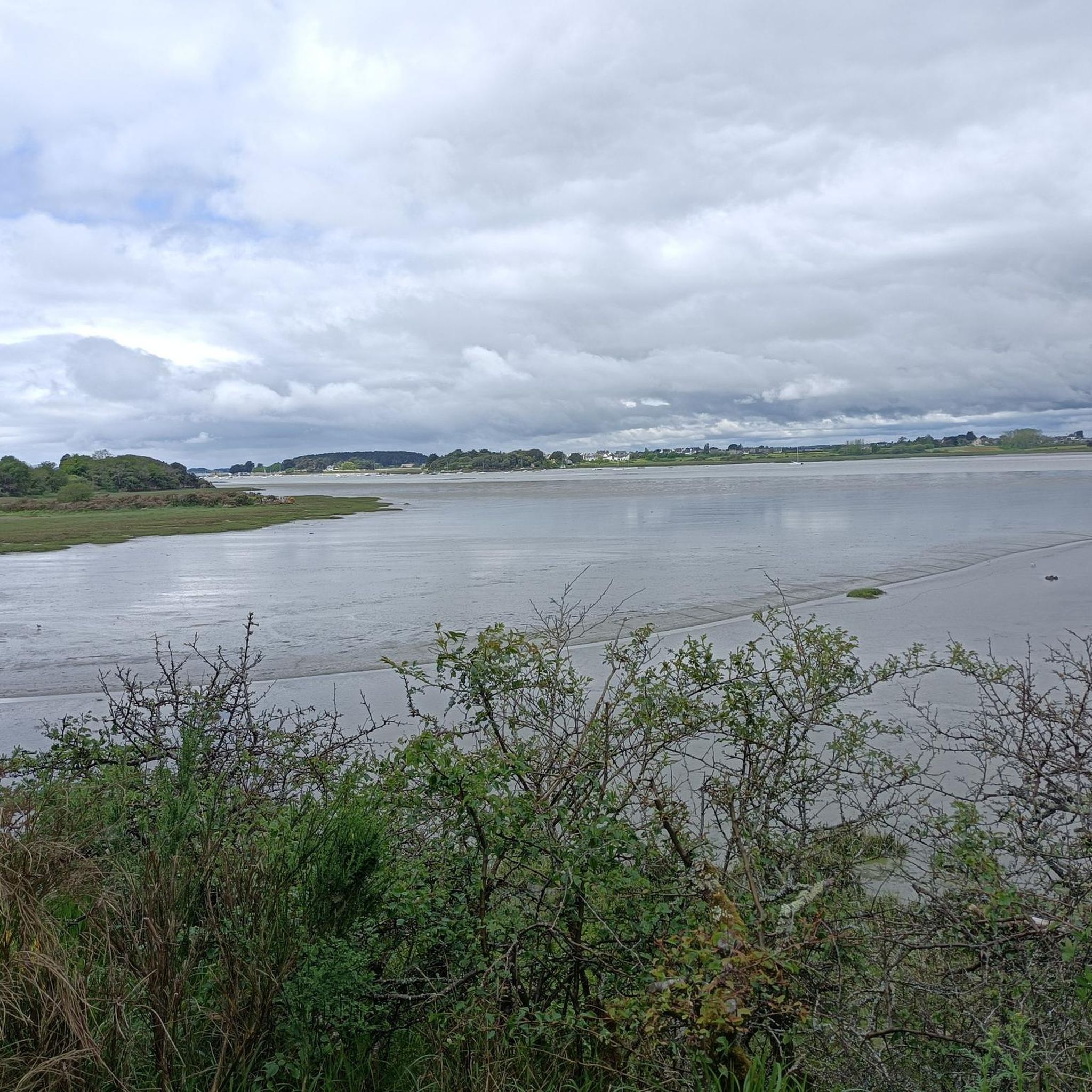
Hiking around Etang De Noyalo, located southeast of Vannes in the Morbihan department of France, offers diverse landscapes for outdoor activities. This large freshwater body, spanning 140 hectares, is surrounded by significant ecological areas including marshes and wooded paths. The region is part of the Regional Natural Park of the Gulf of Morbihan, featuring varied terrain from tranquil pond shores to the rugged coastline of the Gulf. Hikers can explore a mix of environments, including wetlands known for rich biodiversity…
Last updated: July 9, 2026
4.0
(2)
9
hikers
16.3km
04:13
90m
90m
Moderate hike. Good fitness required. Easily-accessible paths. Suitable for all skill levels.
3.0
(2)
9
hikers
22.2km
05:40
60m
60m
Hard hike. Very good fitness required. Easily-accessible paths. Suitable for all skill levels.

Sign up for free
3.0
(1)
10
hikers
8.11km
02:05
30m
30m
Moderate hike. Good fitness required. Easily-accessible paths. Suitable for all skill levels.
4.0
(1)
6
hikers
10.2km
02:37
40m
40m
Moderate hike. Good fitness required. Easily-accessible paths. Suitable for all skill levels.
4.6
(11)
17
hikers
9.53km
02:28
50m
50m
Moderate hike. Good fitness required. Easily-accessible paths. Suitable for all skill levels.
Get access to more routes and recommendations from other explorers.
Sign up for free
Already have an account?
Our route recommendations are based on thousands of hikes, rides, and runs completed by other people on komoot.
Start today with a free account
Your next adventure awaits.
Login or Signup

Tips from the Community

An information board provides detailed information about the history of the stone.
0
0


A few meters from the chapel below the road. Simple fountain without a basin but with small sheep around it.
1
0
Rectangular chapel with its 18th century bell tower. Simple interior. Built at the end of the 16th century, it is open to the public.
0
0

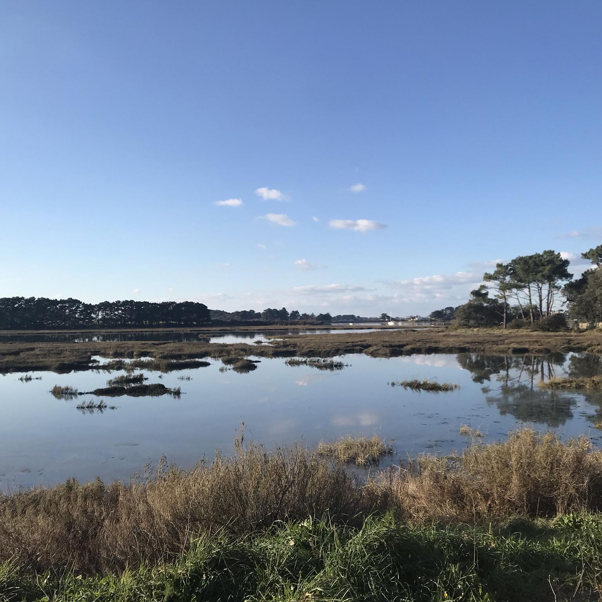
With a total surface area of 30 hectares, the marsh has been divided into three equal zones: an oyster farm, a quiet area for birds and a salt pan. In addition to their landscapes, the marshes bordering the Gulf of Morbihan are home to a wide diversity of birds.
2
0

It’s a beautiful little roadside sanctuary. The name of this place comes from the Breton word Roz which means height. Historians confirm that at this location, even if it is very degraded and there are very few traces left, a feudal mound overlooked the passage.
0
0

Like the numerous marshes that embroider the interior of the Gulf of Morbihan, the Lasné marsh maintains a rich animal diversity. Every year, thousands of birds come to feed and nest in its waters. When walking, be discreet and equip yourself with a binocular to observe them.
0
0
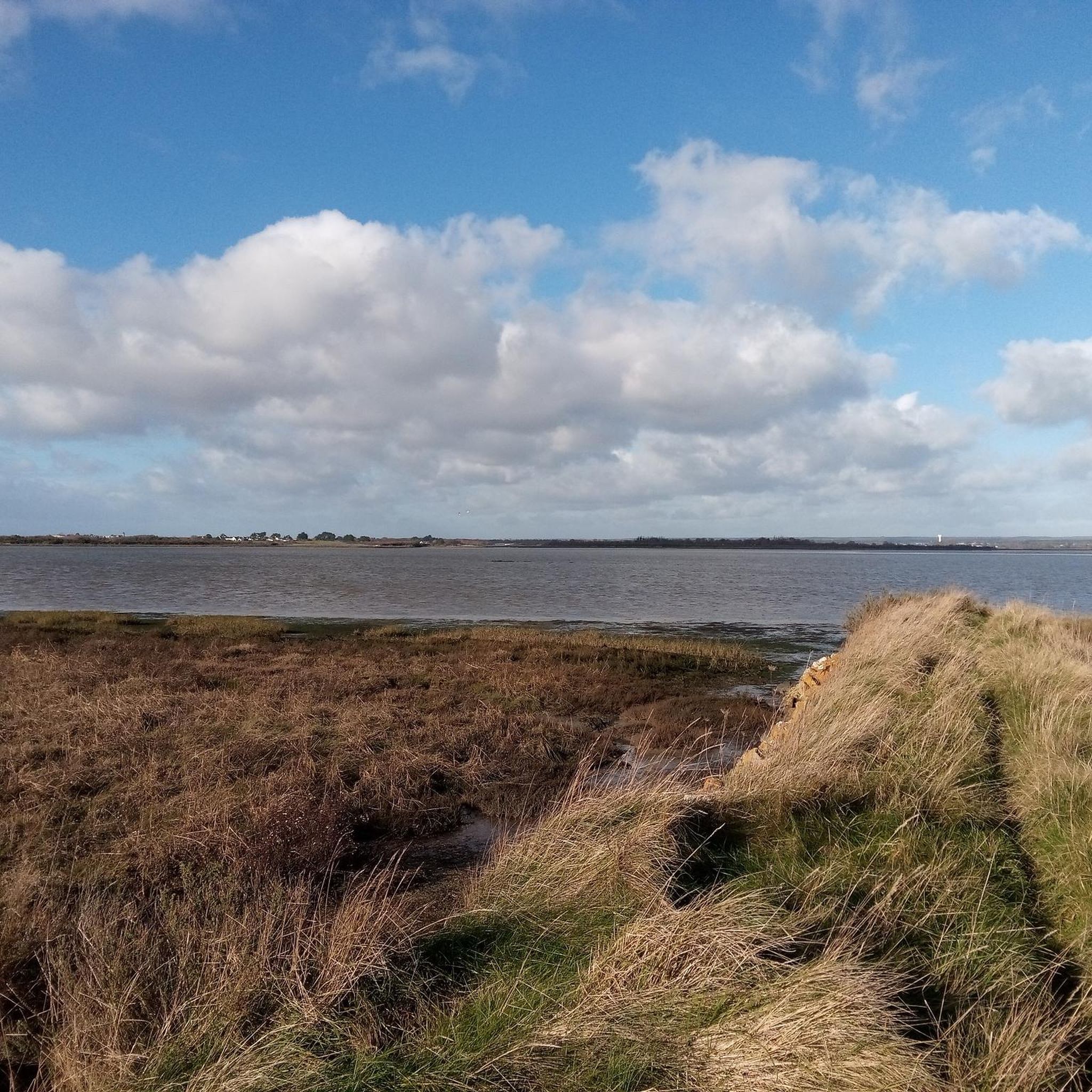
The tip of Corn Er Vechen is a tiny projection of land in the Gulf of Morbihan. On clear days, the views are clear and water activities multiply. Ideal for a little quiet break.
0
0
Frequently Asked Questions
How many hiking trails are available around Etang De Noyalo?
There are over 350 hiking routes around Etang De Noyalo, catering to various skill levels. You'll find a wide selection, from easy strolls to more challenging treks, with 215 easy routes, 129 moderate routes, and 15 difficult routes.
What kind of terrain can I expect on hikes around Etang De Noyalo?
The terrain around Etang De Noyalo is diverse, offering a mix of landscapes. You can expect tranquil paths along the pond's shores, trails through expansive marshes like Marais de Lasné, and sections that lead to the rugged coastline of the Gulf of Morbihan. There are also wooded areas, providing varied environments for hikers.
Are there any family-friendly hiking options near Etang De Noyalo?
Yes, Etang De Noyalo offers many easy routes suitable for families. With over 200 easy trails, you can find shorter, less strenuous options that are perfect for a leisurely walk with children. These often stick to the calmer pond shores or well-maintained paths.
Can I bring my dog on the trails around Etang De Noyalo?
Generally, dogs are welcome on many trails around Etang De Noyalo, but it's always best to keep them on a leash, especially in areas with wildlife or near agricultural land. Be mindful of local regulations, particularly in protected natural areas like the marshes, which are vital for birdlife.
Are there circular hiking routes available in the area?
Yes, many of the hiking routes around Etang De Noyalo are circular, allowing you to start and end at the same point. An example is the Route de Surzur fountain – Croix Le Floch loop from Noyalo, which is a moderate 8.1 km trail offering varied local landscapes.
What natural features or wildlife can I see while hiking?
The region is rich in natural features. You'll encounter the expansive Etang De Noyalo itself, significant marshes such as Marais de Lasné and Marais du Duer, which are known for their rich biodiversity. These wetlands attract thousands of birds, including migratory ducks and ospreys. Observatories are available for birdwatching. The trails also lead to the Gulf of Morbihan coastline, offering scenic maritime views.
Are there any historical landmarks or points of interest along the trails?
Yes, the area features historical elements. You might come across old tidal mills, such as the Moulin du Hézo, which offer a glimpse into the region's past where the pond connects to the Gulf of Morbihan. Some circuits also incorporate historical fountains, adding a cultural dimension to your hike. For a longer route that includes a mill, consider the Lezuis Pond – Hézo Mill loop from Noyalo.
What is the best time of year to go hiking around Etang De Noyalo?
The best time to hike around Etang De Noyalo is generally during spring and autumn when the weather is mild and the natural scenery is vibrant. Spring brings blooming flora and active birdlife, while autumn offers beautiful colors. Summer can also be pleasant, but it's advisable to start early to avoid the midday heat.
What do other hikers enjoy the most about hiking in Etang De Noyalo?
The area is highly rated by the komoot community, with an average score of 4.5 stars from over 1,700 reviews. Hikers often praise the diverse landscapes, from tranquil pond views to coastal scenery and the rich birdlife in the marshes. The variety of routes catering to different abilities is also frequently highlighted.
Are there any challenging long-distance hikes in the area?
Yes, for those seeking a more challenging experience, there are longer and more demanding routes. The Pointe de Corn Er Vechen – Lasné Marsh loop from Noyalo is a difficult 22.2 km path that offers extensive views of the Gulf of Morbihan and traverses the ecologically significant Lasné Marsh.
Is there public transport available to reach the hiking areas?
While specific public transport routes directly to all trailheads might be limited, Etang De Noyalo is located southeast of Vannes. You can typically reach Vannes by public transport, and from there, local bus services or taxis might connect to villages closer to the pond, though planning ahead is recommended.
Where can I park my car when visiting Etang De Noyalo for a hike?
Parking is generally available in the villages surrounding Etang De Noyalo, such as Noyalo itself, which serve as common starting points for many trails. Look for designated parking areas near trailheads or in village centers. It's advisable to check local signage for any restrictions.
Most popular routes around Etang De Noyalo

Get inspired with the komoot mobile app


Explore more
Browse the best Hikes in other regions.
