The best walks and hikes around Gravieres De Bas-En-Basset
4.6
(174)
1,297
hikers
110
hikes
Hiking trails around Gravieres De Bas-En-Basset are characterized by a unique landscape of interconnected ponds and lakes, which are former gravel pits along the Loire River. The region offers diverse natural features, including riverbanks, wooded areas, and countryside paths. Several routes provide views of the wider valley and incorporate historic landmarks.
Best hiking trails around Gravieres De Bas-En-Basset
- The most popular hiking route is Étang de Bas-en-Basset loop from Fouilloux, a 4.5 miles (7.2 km) trail that takes 1…
Last updated: July 13, 2026
4.5
(11)
74
hikers
7.22km
01:51
30m
30m
Easy hike. Great for any fitness level. Easily-accessible paths. Suitable for all skill levels.
4.5
(13)
62
hikers
10.0km
03:04
370m
370m
Moderate hike. Good fitness required. Easily-accessible paths. Suitable for all skill levels.

Sign up for free
3
hikers
12.8km
03:44
320m
310m
Moderate hike. Good fitness required. Easily-accessible paths. Suitable for all skill levels.
5
hikers
6.12km
01:54
240m
230m
Easy hike. Great for any fitness level. Easily-accessible paths. Suitable for all skill levels.
4
hikers
6.86km
01:47
40m
40m
Easy hike. Great for any fitness level. Easily-accessible paths. Suitable for all skill levels.
Get access to more routes and recommendations from other explorers.
Sign up for free
Already have an account?
Our route recommendations are based on thousands of hikes, rides, and runs completed by other people on komoot.
Start today with a free account
Your next adventure awaits.
Login or Signup

Tips from the Community

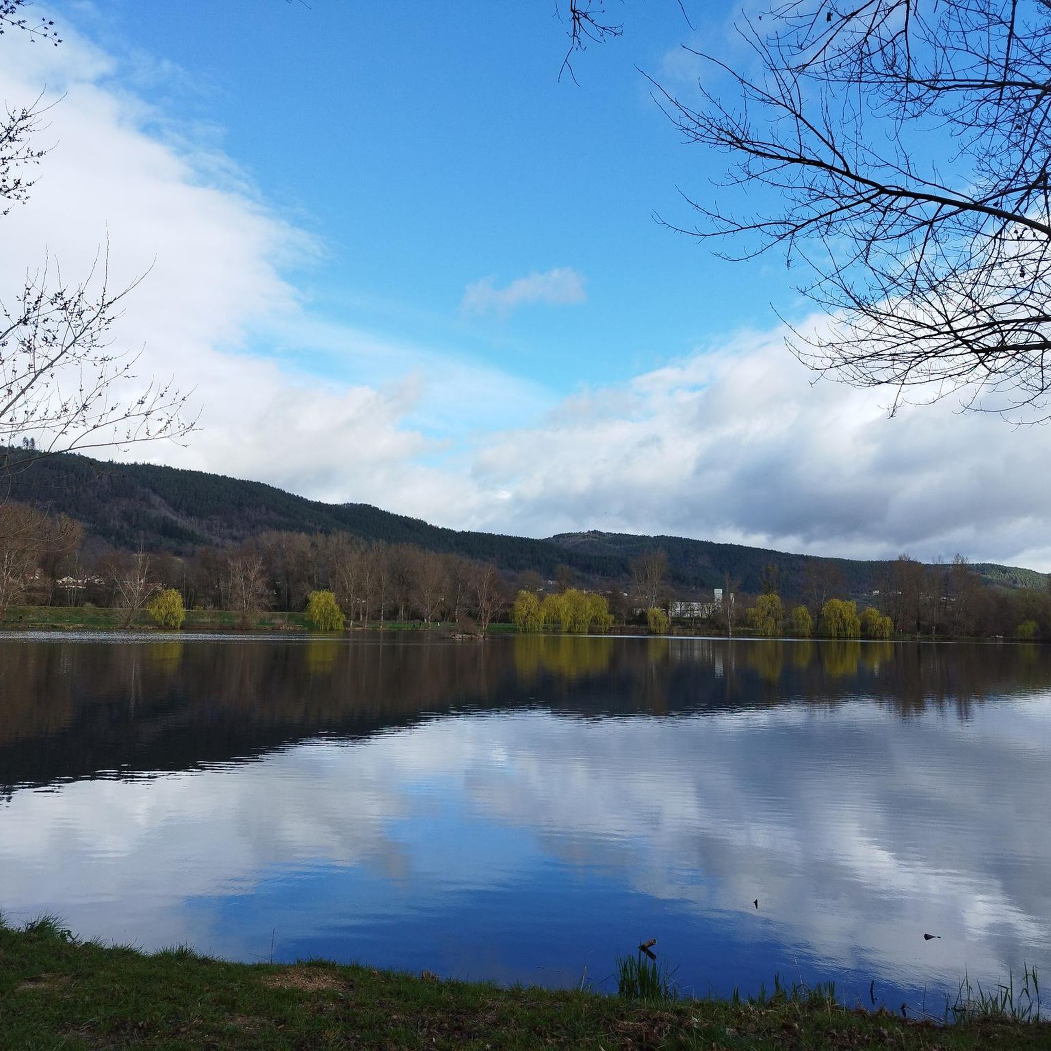
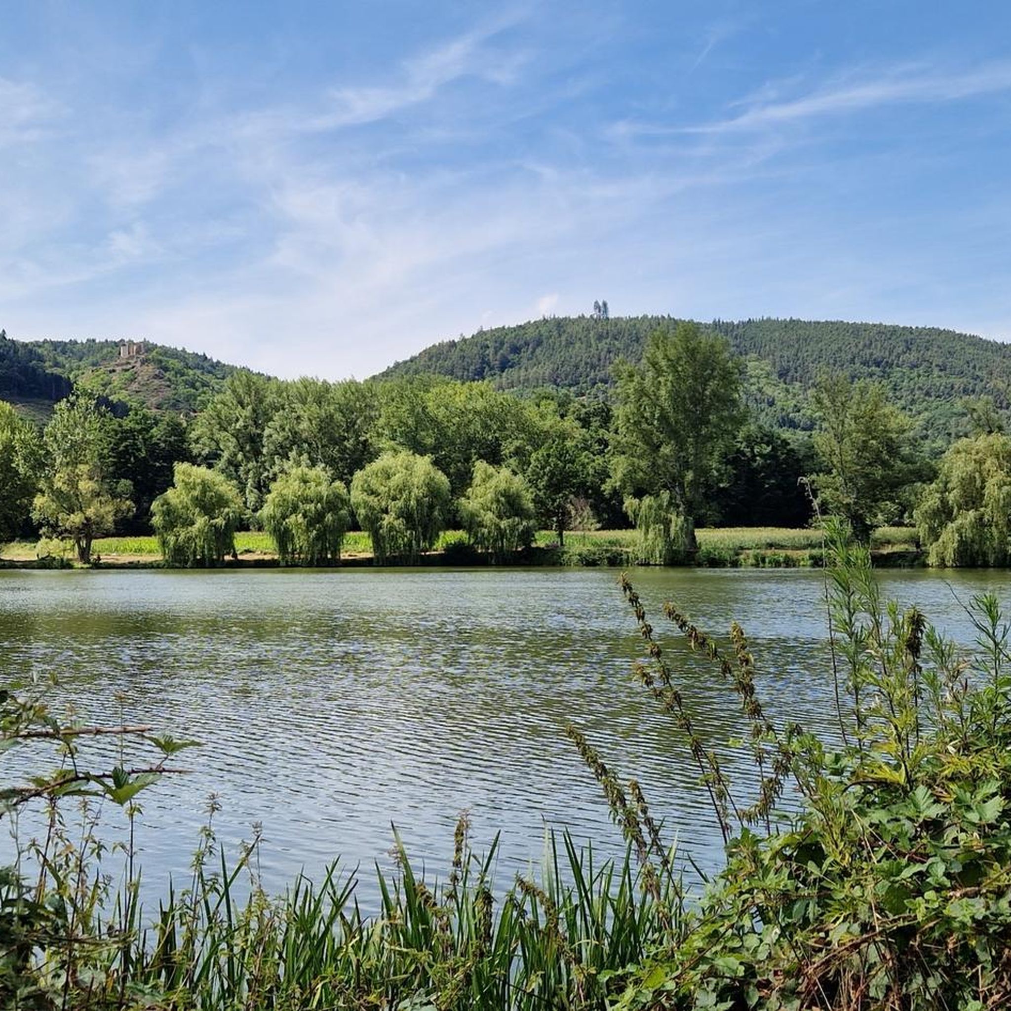
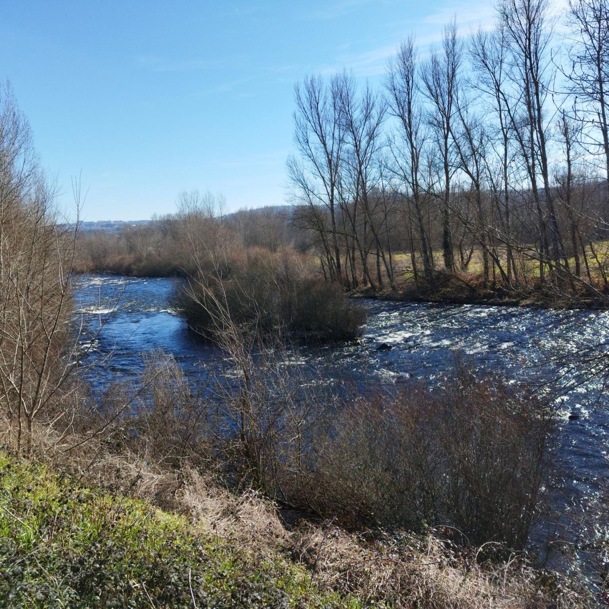
This beautiful portion winds between the ponds of Bas-en-Basset and the banks of the Loire. The setting is bucolic, it’s a real treat.
0
0

beautiful climb from bottom to basset to climb to the castle
0
0
Frequently Asked Questions
How many hiking trails are available in Gravières de Bas-en-Basset?
There are over 110 hiking trails around Gravières de Bas-en-Basset, catering to various fitness levels. You'll find a wide selection of routes, from easy lakeside strolls to more challenging paths with significant elevation gain.
What kind of landscapes can I expect to see while hiking in Gravières de Bas-en-Basset?
The region is characterized by a unique landscape of interconnected ponds and lakes, which are former gravel pits along the Loire River. You'll experience serene waterscapes, picturesque riverbanks, wooded areas, and open countryside paths. Many routes also offer panoramic views of the wider valley and incorporate historic landmarks.
Are there easy hiking options suitable for beginners or a relaxed walk?
Yes, Gravières de Bas-en-Basset offers over 30 easy hiking routes. A great option for a relaxed walk is the Étang de Bas-en-Basset loop from Bas-en-Basset, which is 3.5 miles (5.6 km) long and leads through the scenic lake area.
Are there any circular hiking routes in the area?
Many of the trails in Gravières de Bas-en-Basset are circular, allowing you to start and end at the same point. For example, the Étang de Bas-en-Basset loop from Fouilloux is an easy 4.5-mile (7.2 km) circular trail that offers beautiful views around the main lake.
What historical landmarks or points of interest can I explore on a hike?
The region is rich in history. You can hike to the impressive ruins of Château de Rochebaron, perched on a rocky outcrop, which offers commanding views. The nearby town of Saint-Bonnet-le-Château also features a collegiate church with stunning panoramic views and charming 15th and 16th-century houses.
Are there any longer or more challenging hikes available?
Yes, for those seeking a moderate challenge, the Étang de Bas-en-Basset – Château de Rochebaron loop from Bas-en-Basset is a 7.9-mile (12.7 km) route that combines lakeside scenery with a visit to the historic castle, involving some elevation gain.
Is Gravières de Bas-en-Basset suitable for family hikes?
Absolutely. The numerous easy and moderate trails, especially those around the lakes, are ideal for families. The varied landscapes and points of interest like the Château de Rochebaron can make for an engaging adventure for all ages.
What do other hikers enjoy most about the trails in Gravières de Bas-en-Basset?
The trails in Gravières de Bas-en-Basset are highly rated by the komoot community, with an average score of 4.6 stars from over 140 reviews. Hikers often praise the serene waterscapes, the diverse natural features, and the well-maintained paths that offer a mix of easy strolls and more challenging routes.
Are there hiking routes that offer panoramic views?
Yes, several routes provide expansive views. For instance, the View of Bas-en-Basset loop from Bas-en-Basset is an easy 3.8-mile (6.1 km) hike that offers great vantage points over the surrounding area. Additionally, the Château de Rochebaron and the collegiate church in Saint-Bonnet-le-Château are known for their exceptional panoramas.
Is it possible to reach the hiking areas by public transport?
While specific public transport options directly to all trailheads might be limited, Bas-en-Basset itself is accessible. It's advisable to check local bus schedules or regional train services to nearby towns and plan your route accordingly, as many trails start from or near the village center.
Where can I park my car when visiting the hiking trails?
Many trailheads, especially those starting from Bas-en-Basset or near the main lakes, offer designated parking areas. It's generally easy to find parking close to popular starting points, particularly around the Étang de Bas-en-Basset.
Most popular routes around Gravieres De Bas-En-Basset

Get inspired with the komoot mobile app


Explore more
Browse the best Hikes in other regions.
