The best walks and hikes around Lac Du Gouet
4.5
(850)
5,053
hikers
182
hikes
Hiking around Lac Du Gouet offers diverse landscapes in the Côtes-d'Armor region of Brittany, France. The area features the central Lac de Saint-Barthélémy, providing scenic views along its shores. The Gouët River, which feeds the lake, carves through varied terrain, including "chaos granitiques" with massive granite boulders. Trails often lead through extensive wooded paths and past the impressive Viaduct of the Gouët Valley and the Barrage du Gouët.
Best hiking trails around Lac Du Gouet
- The most popular hiking route…
Last updated: May 21, 2026
4.7
(53)
206
hikers
7.36km
01:58
90m
90m
Easy hike. Great for any fitness level. Easily-accessible paths. Suitable for all skill levels.
4.6
(56)
208
hikers
Easy hike. Great for any fitness level. Easily-accessible paths. Suitable for all skill levels.

Sign up for free
4.7
(31)
156
hikers
17.5km
04:43
230m
230m
Moderate hike. Good fitness required. Easily-accessible paths. Suitable for all skill levels.
4.4
(8)
28
hikers
7.75km
02:06
100m
100m
Moderate hike. Good fitness required. Easily-accessible paths. Suitable for all skill levels.
4.7
(28)
130
hikers
11.2km
03:00
130m
130m
Moderate hike. Good fitness required. Easily-accessible paths. Suitable for all skill levels.
Get access to more routes and recommendations from other explorers.
Sign up for free
Already have an account?
Our route recommendations are based on thousands of hikes, rides, and runs completed by other people on komoot.
Start today with a free account
Your next adventure awaits.
Login or Signup

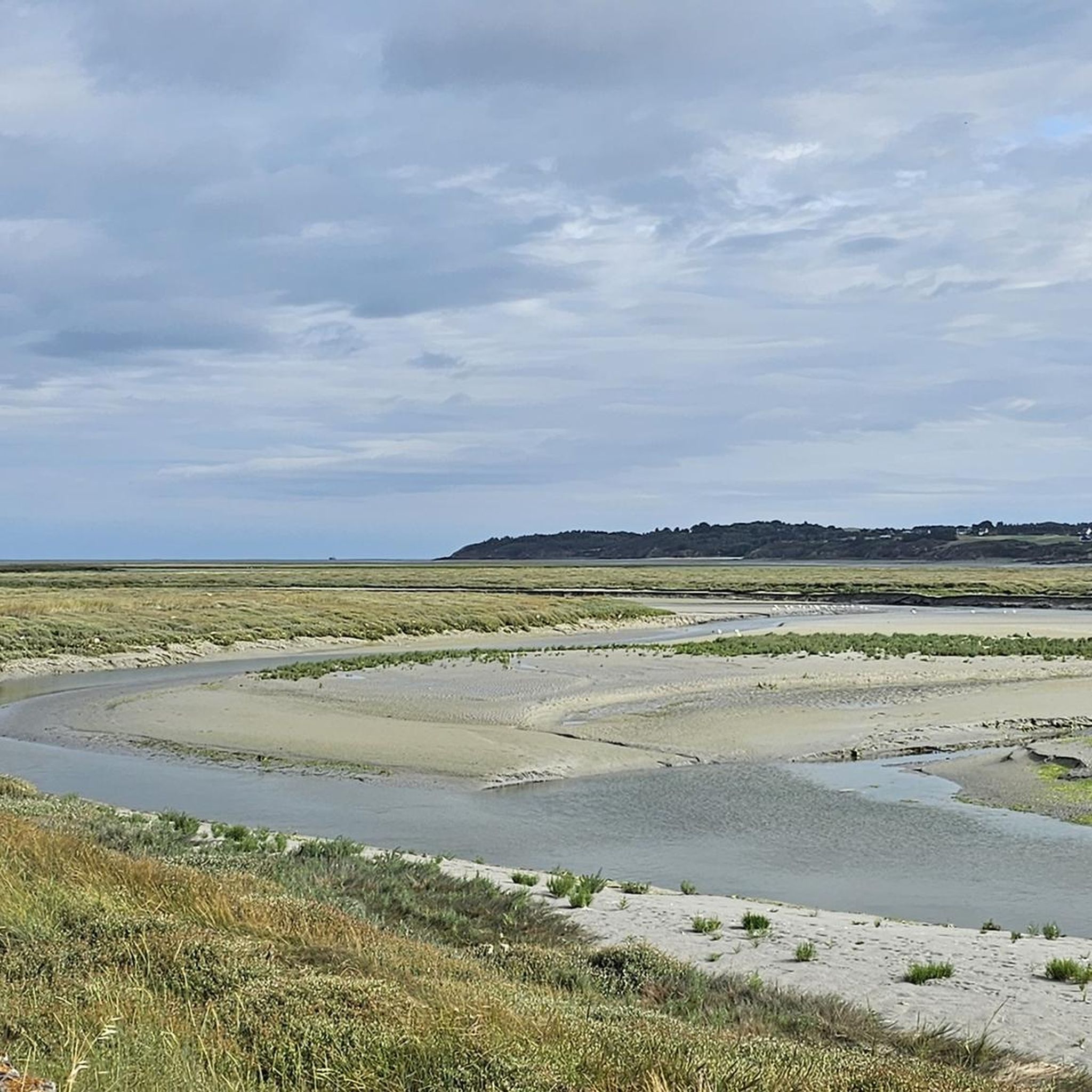
Tips from the Community


On the left of the trail, do not miss the viewpoint of the viaduct. Stay on the same trail until you reach the road. Take the path that runs alongside it on the left. At the fork, continue straight on the grassy path. Go around the playgrounds on the left to reach the library. Take the street on your right. Photo credit: Emmanuel Berthier
0
0

This impressive Neolithic menhir has been knocked down and stands tall. It is 5.9 meters long.
2
0

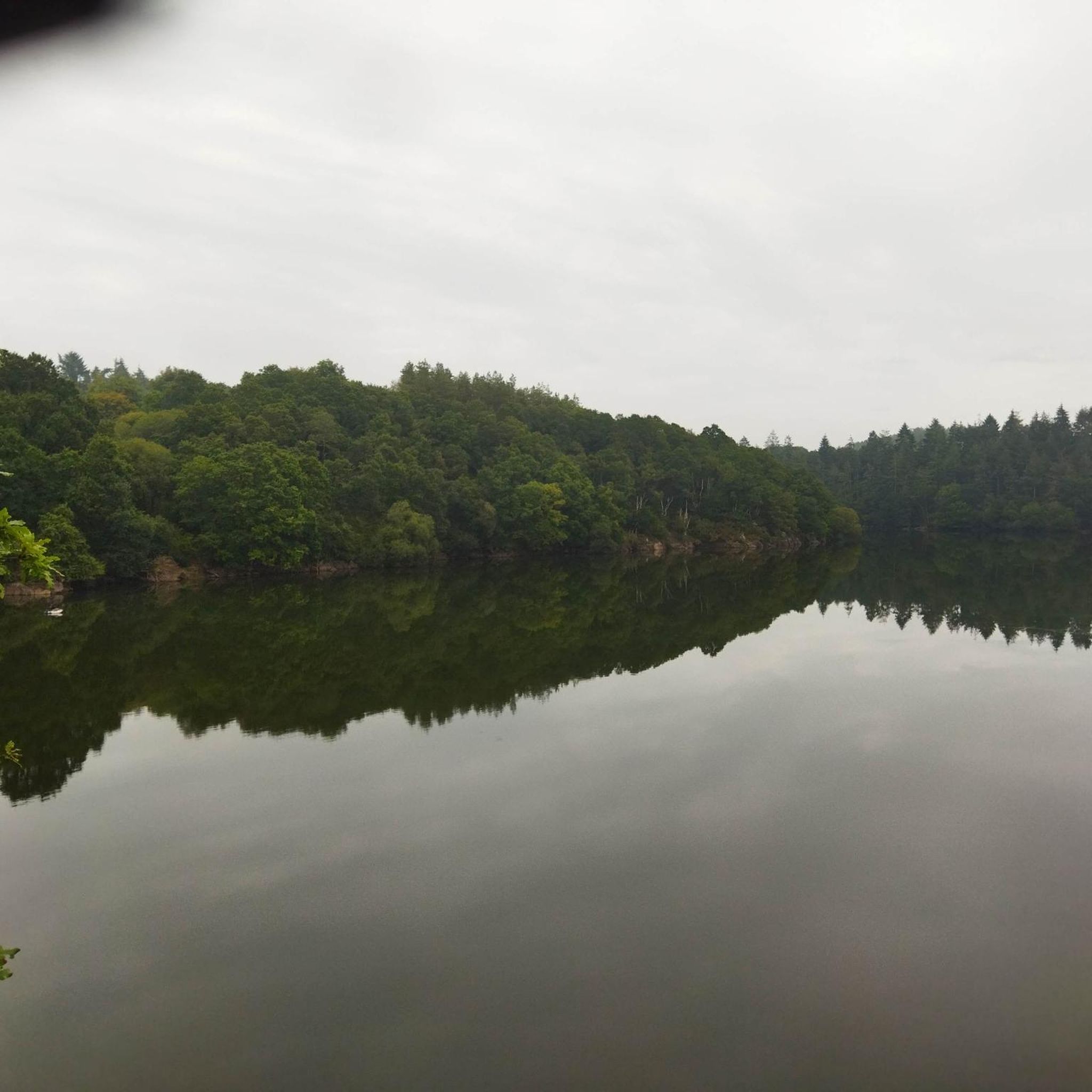
This path borders the Gouët river, which meanders along the mossy rocks, giving to see magical landscapes. If it has rained recently, the path will be muddy. It is therefore necessary to provide appropriate equipment: boots, walking sticks...
1
0
This 5.90 meter high granite menhir is classified as a historical monument. It was erected in the Neolithic.
0
0

Magnificent walk, forest, river, calm, pleasure for the eyes.
0
0
Quite difficult on certain sections but bucolic
0
0

From the dam you have a great view over the lake and into the valley of the Gouet. You can start great tours around the lake from the nearby hiking car park (up to 2.00 m)!
0
0
Frequently Asked Questions
How many hiking trails are available around Lac Du Gouet?
There are over 160 hiking routes around Lac Du Gouet, offering a wide variety of experiences. These include 86 easy trails, 78 moderate routes, and 5 more challenging options, ensuring something for every fitness level.
What kind of terrain can I expect on hikes around Lac Du Gouet?
Hikes around Lac Du Gouet feature diverse terrain. You'll find extensive wooded paths, charming villages, and continuous views of the Lac de Saint-Barthélémy. The Gouët River carves through varied landscapes, including areas with impressive 'chaos granitiques'—massive granite boulders that create a torrent-like appearance. Some routes also include ascents and stony passages, particularly around the Barrage du Gouët.
What is the best time of year to go hiking around Lac Du Gouet?
The trails around Lac Du Gouet are generally accessible year-round, thanks to well-maintained paths. The wooded areas provide shade in warmer months, and the diverse landscapes offer beauty in every season. For specific conditions, especially during winter, it's always good to check local weather forecasts.
Are there any notable landmarks or natural features to see while hiking?
Yes, the area is rich in landmarks. You can encounter the impressive Viaduct of the Gouët Valley, a 229-meter-long structure with 12 visible arches. The Barrage du Gouët (Gouët Dam) is another significant feature, and many trails offer views of the Lac de Saint-Barthélémy itself. The 'chaos granitiques' along the Gouët River are also a unique natural spectacle.
Can I see the famous 'Chaos du Gouët' on a hike?
Absolutely! One excellent route to experience this unique natural feature is the Les chaos du Gouët — loop from Plaine-Haute. This 7.4 km trail takes you directly through the area where the Gouët River carves through massive granite boulders, creating a fascinating landscape.
Is there a hike that goes around the Gouët Dam?
Yes, the 'Circuit du Barrage' is a well-known route that follows the water retention area of the Gouët Dam. A popular option is the Pont Noir South Section – Saint-Barthélémy Dam loop from La Méaugon, a moderate 17.5 km path that offers extensive views around the lake and its dam, revealing hidden treasures of the past.
Are there family-friendly hiking options around Lac Du Gouet?
Yes, Lac Du Gouet offers many family-friendly options. With 86 easy trails, there are plenty of gentle strolls suitable for all ages. Routes like the Les chaos du Gouët — loop from Plaine-Haute are relatively short and offer engaging natural features without being overly strenuous.
Are dogs allowed on the hiking trails?
Many trails in the Lac Du Gouet area are dog-friendly, especially the numerous wooded paths and countryside routes. However, it's always recommended to keep dogs on a leash, particularly in areas with wildlife or near livestock, and to check specific trail regulations if posted.
Are there any circular hiking routes available?
Yes, many of the hiking routes around Lac Du Gouet are circular, making them convenient for exploration. For example, the Saint-Barthélémy Dam – Pont Noir South Section loop from La Méaugon is an easy 7.1 km circular route, and the Sainte-Anne du Houlin – Menhir de la Roche Longue loop from Saint-Julien is another popular circular option.
Where can I find parking for hiking trails around Lac Du Gouet?
Parking is generally available near trailheads in the villages surrounding Lac Du Gouet, such as Plaine-Haute, La Méaugon, and Saint-Julien. Specific parking information is often detailed on individual komoot Tour pages, so it's advisable to check the route you plan to hike for the most accurate details.
Is it possible to reach the hiking trails by public transport?
While the region is primarily accessed by car, some villages near the lake may have limited public transport connections. For detailed information on public transport options to specific trailheads, it's best to consult local transport schedules for the Côtes-d'Armor region.
Are there any challenging hikes for experienced hikers?
Yes, for those seeking a more strenuous experience, there are 5 difficult routes available. These trails often feature greater elevation changes and longer distances. An example of a moderate to challenging route is the Pont Noir South Section – Saint-Barthélémy Dam loop from La Méaugon, which covers 17.5 km with significant elevation.
What do other hikers enjoy the most about hiking in Lac Du Gouet?
The area is highly rated by the komoot community, with an average score of 4.5 stars from over 790 reviews. Hikers often praise the diverse landscapes, the scenic views of the lake, the unique 'chaos granitiques' along the Gouët River, and the well-maintained wooded paths. The variety of routes suitable for different abilities is also frequently highlighted.
Most popular routes around Lac Du Gouet

Get inspired with the komoot mobile app


Explore more
Browse the best Hikes in other regions.
