The best walks and hikes around Щирецьке водосховище
37
hikers
2
hikes
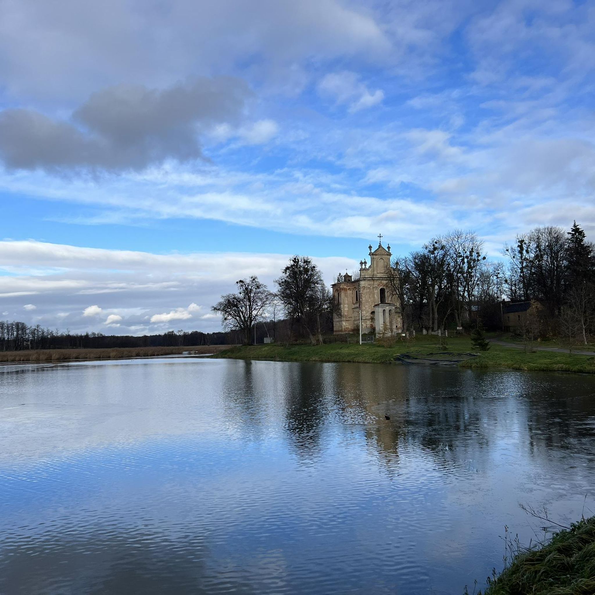
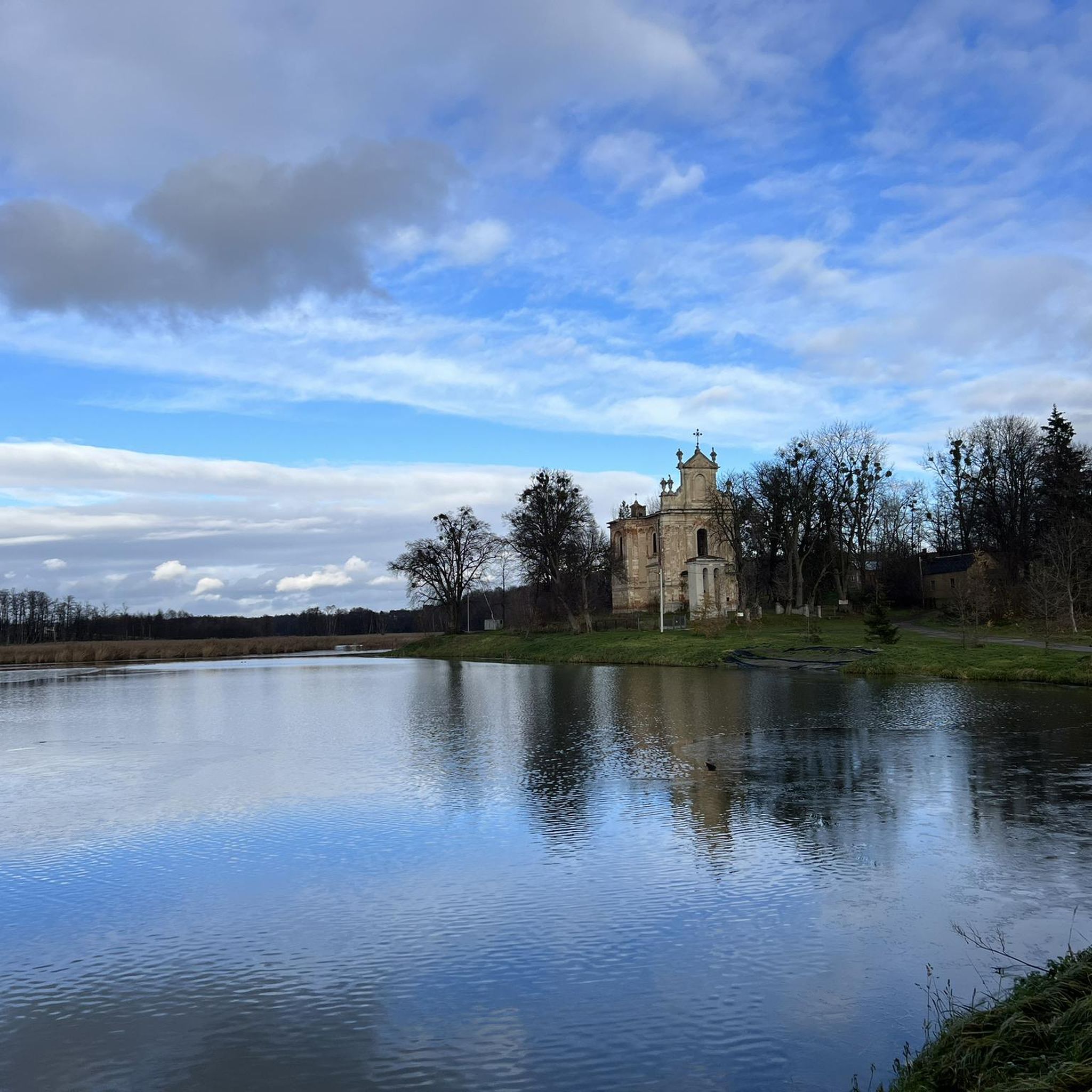
Hiking around Щирецьке водосховище offers opportunities for active recreation in a natural setting. This reservoir, also known as Navaria Lake, is situated on the Shchyrets River in the Lviv district. It is a significant body of water, measuring 2.9 miles (4.7 km) in length and 0.26 miles (0.42 km) in maximum width, with an average depth of 11.8 feet (3.60 m). The area provides scenic views and paths along its banks for walking.
Best hiking trails around Щирецьке водосховище
- The…
Last updated: August 20, 2026
14
hikers
7.95km
02:07
90m
90m
Moderate hike. Good fitness required. Easily-accessible paths. Suitable for all skill levels.
2
hikers
9.91km
02:36
80m
80m
Moderate hike. Good fitness required. Easily-accessible paths. Suitable for all skill levels.

Sign up for free
3
hikers
5.89km
01:31
30m
30m
Easy hike. Great for any fitness level. Easily-accessible paths. Suitable for all skill levels.
3
hikers
9.42km
02:26
50m
50m
Moderate hike. Good fitness required. Easily-accessible paths. Suitable for all skill levels.
2
hikers
9.84km
02:33
60m
60m
Moderate hike. Good fitness required. Easily-accessible paths. Suitable for all skill levels.
Our route recommendations are based on thousands of hikes, rides, and runs completed by other people on komoot.
Start today with a free account
Your next adventure awaits.
Login or Signup
Popular around Щирецьке водосховище
Tips from the Community

University opened by Pope John Paul II in 2001. It is connected to the Greek Catholic Church and is one of the city's best-known research institutions.
1
0

One of the oldest and most beautiful parks in Lviv (Wikipedia)
0
1

The palace was built as a family home for the Potocki family
1
0
Frequently Asked Questions
How many hiking trails are available around Щирецьке водосховище?
There are several hiking routes around Щирецьке водосховище, with komoot currently featuring 5 distinct trails. These routes offer various experiences, from easy strolls to moderate hikes, allowing you to explore the reservoir's scenic surroundings.
What kind of terrain can I expect on the hiking trails?
The hiking trails around Щирецьке водосховище generally feature gentle terrain, with paths winding along the reservoir's banks, through parkland, and urban green spaces. The routes have moderate elevation changes, for example, the Potocki Palace loop from Frankivskyi District has an ascent of 284 feet (87 m).
Are there any easy hiking routes suitable for beginners or casual walkers?
Yes, there are easy routes available. For instance, the Pisky Lakes Park loop from Княгині Ольги is a 3.7 miles (5.9 km) trail with a gentle climb of 103 feet (31 m), making it suitable for a relaxed walk.
What are the natural features or points of interest I can see while hiking?
The primary natural feature is Щирецьке водосховище itself, also known as Navaria Lake, offering picturesque reservoir views. The trails often pass through parkland and urban green spaces, providing a mix of natural beauty and accessible recreational areas. The reservoir is a significant body of water, measuring 2.9 miles (4.7 km) in length.
Are there any circular walks around Щирецьке водосховище?
Yes, many of the routes are circular, allowing you to start and end at the same point. Examples include the Potocki Palace loop from Frankivskyi District and the Stryiskyi Park loop from Frankivskyi District, both offering convenient loop experiences.
Is it possible to reach the hiking trails using public transport?
While specific public transport connections to each trailhead are not detailed in the route descriptions, the area around Щирецьке водосховище is generally accessible. Many routes start from urban districts like Frankivskyi District or Княгині Ольги, which typically have public transport links. It's advisable to check local transport schedules for the most direct routes to your chosen trailhead.
Are there parking facilities available near the trailheads?
Given that many routes originate from urban or semi-urban areas, parking options are generally available, though they might vary from designated parking lots to street parking. For routes starting in city districts, consider public parking areas. Always check local signage for parking regulations.
What is the best time of year to go hiking around Щирецьке водосховище?
The area is suitable for hiking across multiple seasons. Spring and autumn offer pleasant temperatures and vibrant scenery, while summer provides longer daylight hours for extended walks. Even in winter, the trails can be enjoyed, though conditions may vary. The reservoir is a popular spot for recreation year-round.
What do other hikers enjoy most about hiking in this region?
Hikers using komoot often appreciate the accessible nature of the trails and the scenic views of Щирецьке водосховище. The mix of reservoir-side paths, parkland, and urban green spaces provides varied scenery, making it a popular choice for active recreation in a natural setting. Over 35 hikers have explored the area using komoot.
Are the trails around Щирецьке водосховище suitable for families with children?
Yes, the region offers routes suitable for families. The presence of parkland and generally moderate terrain, such as the Pisky Lakes Park loop from Княгині Ольги, makes many trails accessible for children. The recreational nature of the reservoir area also provides opportunities for other family activities.
Can I bring my dog on the hiking trails?
While specific regulations for dogs on every trail are not provided, generally, dogs are welcome on many outdoor trails in Ukraine, especially in less restricted parkland areas, provided they are kept under control. It's always best to check local signage at the trailhead for any specific rules regarding pets.
What is the average length and duration of hikes in this area?
The hikes around Щирецьке водосховище vary in length and duration. For example, the Pisky Lakes Park loop from Княгині Ольги is 3.7 miles (5.9 km) and takes about 1 hour 31 minutes, while the Stryiskyi Park loop from Frankivskyi District is 6.0 miles (9.7 km) and typically takes 2 hours 33 minutes.
Most popular routes around Щирецьке водосховище

Get inspired with the komoot mobile app


Explore more
Browse the best Hikes in other regions.
