The best running trails around Etang Du Corong
4.4
(27)
374
runners
51
runs
Jogging around Etang Du Corong offers accessible trails through diverse natural features. The region is centered around a 75-hectare lake, providing a relatively flat 3.7 miles (6 km) path around its perimeter. Surrounding the lake are arboreal settings and tranquil waters, with nearby areas featuring granite boulders and forested valleys. The landscape combines open water views with natural woodland environments, suitable for various running experiences.
Best jogging routes around Etang Du Corong
- The most popular jogging route is Étang du…
Last updated: July 8, 2026
5.0
(6)
56
runners
7.26km
00:52
30m
30m
Moderate run. Good fitness required. Mostly paved surfaces. Suitable for all skill levels.
13
runners
19.1km
02:12
150m
150m
Hard run. Very good fitness required. Mostly paved surfaces. Suitable for all skill levels.

Sign up for free
4
runners
26.0km
03:07
400m
400m
Hard run. Very good fitness required. Mostly paved surfaces. Suitable for all skill levels.
5.0
(2)
7
runners
12.7km
01:29
90m
90m
Moderate run. Good fitness required. Mostly paved surfaces. Suitable for all skill levels.
4.0
(2)
11
runners
7.49km
00:48
40m
40m
Moderate run. Good fitness required. Mostly paved surfaces. Suitable for all skill levels.
Get access to more routes and recommendations from other explorers.
Sign up for free
Already have an account?
Our route recommendations are based on thousands of hikes, rides, and runs completed by other people on komoot.
Start today with a free account
Your next adventure awaits.
Login or Signup
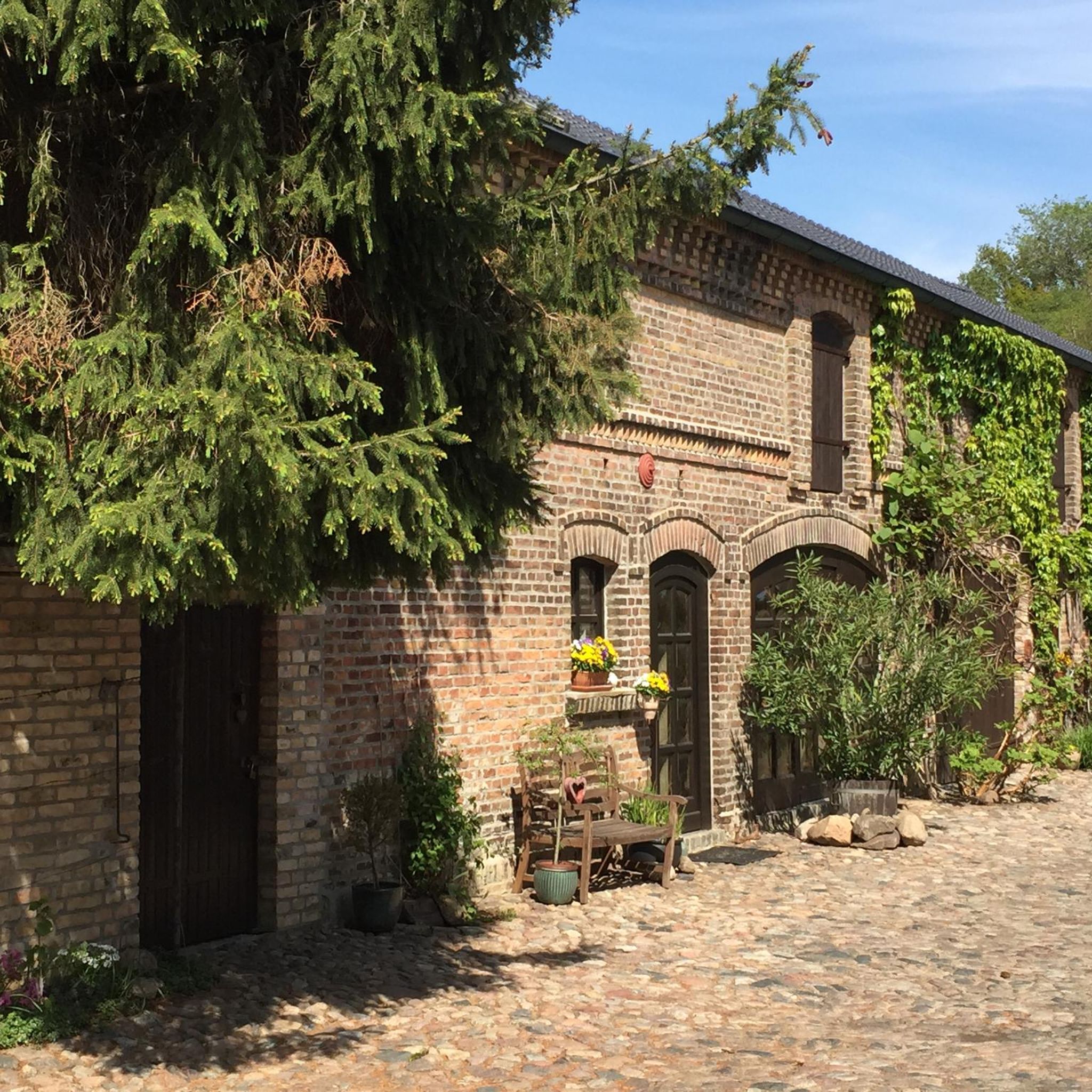
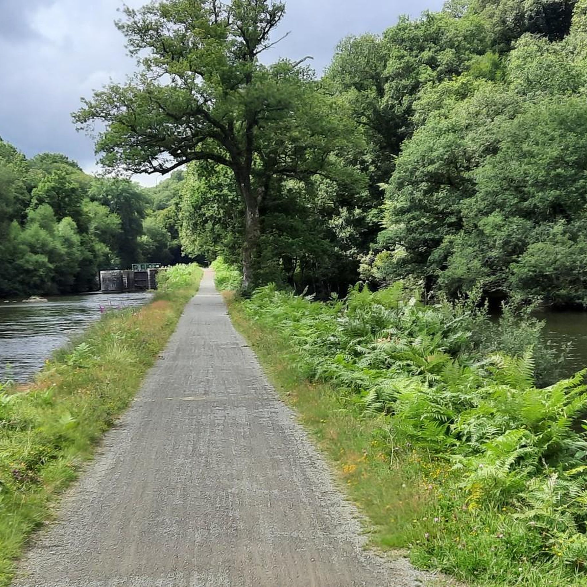
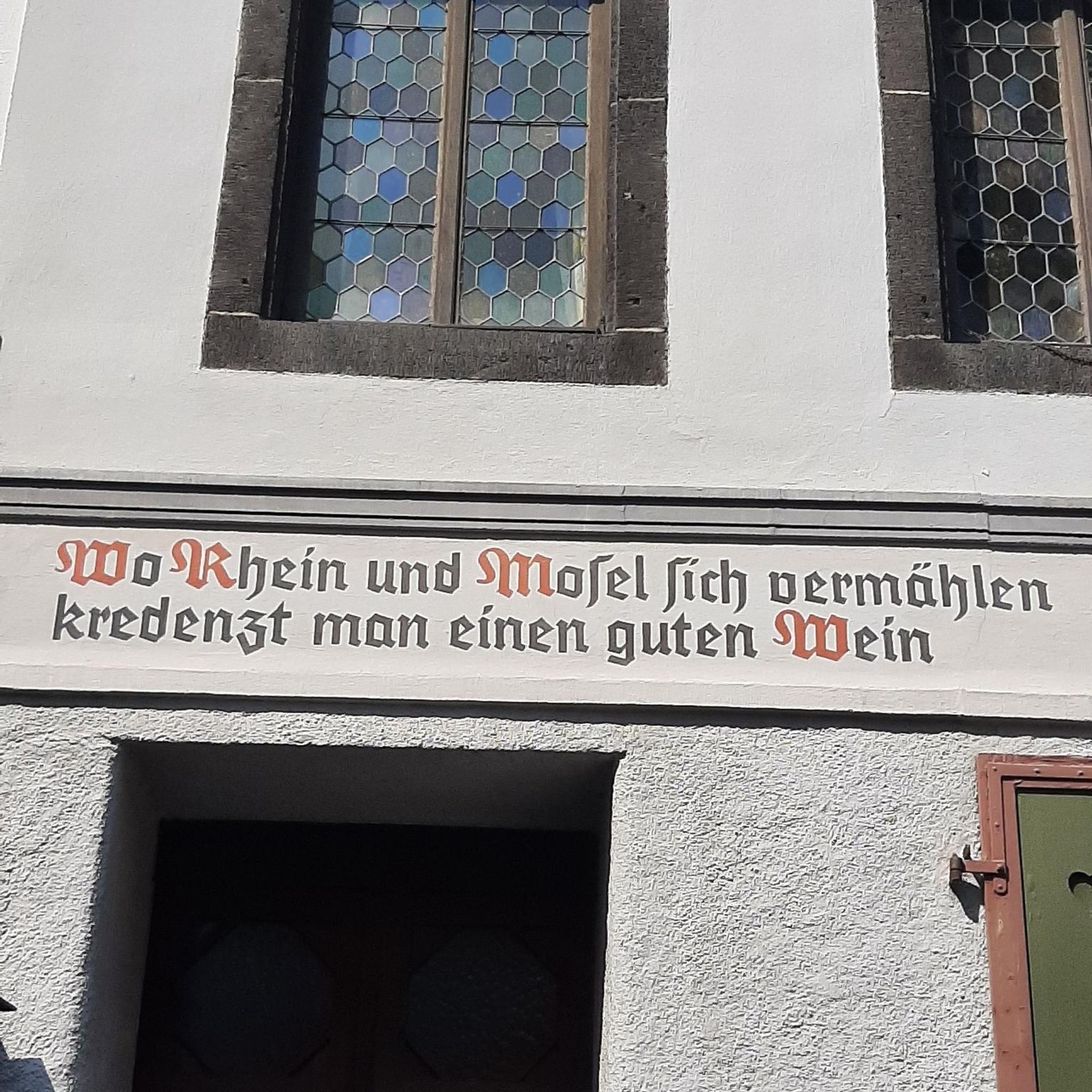
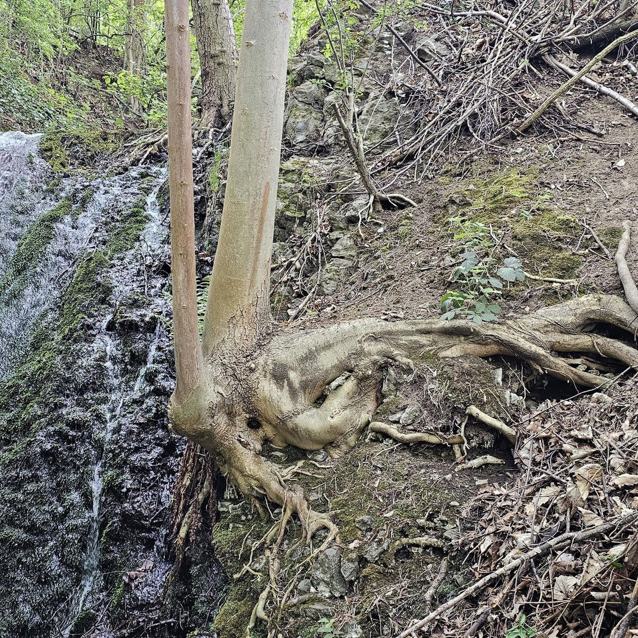

Tips from the Community

A pretty iron bridge, built for farmers at the time. Here the path along the water was in a bad state in April 2026 (a warning was installed on one side of the section, but a detour through the forest is possible).
0
0

This is one of the very few straight sections of the canal.
0
0
Here the canal meanders through the landscape.
0
0

A welcome breath of fresh air
0
0

At an altitude of 184 m, the Glomel trench is the highest point of the Nantes-Brest canal and the watershed between the Blavet and Aulne basins. The canal project and its passage through the center of Brittany dates back to Vauban, the decision and the route to Napoleon. The impressive trench allows the Aulne and Blavet watersheds to communicate via the canal. The Grande Trenche of the Canal from Nantes to Brest was dug in the 19th century by deserters from the army of Louis XVIII. The 4000 convicts of Glomel had to move as much earth and rock as was necessary for the construction of a great pyramid in Egypt. It took 9 years to create this trench, more than 3 kilometers long, 100 meters wide and 23 meters deep.
0
0

The dams for the Canal de Nantes à Brest create a lake from the waters of a little stream, the bike trail passes on the back of the levy
0
0

This passage is the highest point of the canal. It was necessary to dig three million cubic meters of earth and rock to make the canal pass: as much as to build the largest pyramid in Egypt! The work was carried out in the 19th century by deserters imprisoned and sentenced to forced labor. Many did not survive the unimaginable working and hygienic conditions. A book “Les Bagnards du canal de Nantes à Brest” traces the little-known history of the builders of the canal from Nantes to Brest.
2
0

To connect one valley with another, this was dug out by hand, the earth removed on men's backs and all with no machinery. This is the highest point of the canal. As you go along the path, look at how high the woodlands on either side are. It was cut through rock (schist). It is 3.5Km long. On one side was a camp, really a prison, where the 600 convicts, from the prison in Brest, were housed and who were forced to do this labour. Mostly they were deserters from the War with Spain. Dysentery, fever, matnutrition were all rife and on top of back breaking physical labour. After the 1830 Revolution, some prisoners broke out of the camp: some disappered into the surrounding countryside but 200 of them presented themselves to the Military authorities at Pontivy to have their new right to Liberty confirmed and recognised. The Camp was closed by 1832 and mostly destroyed by fire a few years later.
2
0
Frequently Asked Questions
How many running routes are available around Etang Du Corong?
There are over 30 running routes around Etang Du Corong, offering a variety of distances and difficulties. Whether you're looking for a short, easy jog or a more challenging long-distance run, you'll find suitable options.
Are there easy running trails suitable for beginners or families?
Yes, the primary 6 km path encircling Etang Du Corong is relatively flat with minimal elevation change, making it ideal for beginners and families. A popular option is the Étang du Coroncq loop from Glomel, which offers consistent views of the water and surrounding forests.
What is the typical terrain and elevation like on the running paths?
The main path around Etang Du Corong is generally flat and well-maintained, offering an easy surface for jogging. However, some longer routes, like the Kerdiston lake – The Glomel Cut loop from Glomel, venture into varied terrain including forested sections and can feature more significant elevation changes, especially if they extend towards the Gorges du Corong.
What natural features or landmarks can I see while running around Etang Du Corong?
While jogging, you'll primarily enjoy the tranquil lake and surrounding arboreal scenery. The area is also a great spot for birdwatching, with various species frequenting the shores. Nearby, you can explore the historical barrage that formed the lake, or venture a bit further to the dramatic Gorges du Corong with its giant granite boulders and the 'Chaos of Corong'. Other historical points include the 16th-century Chapel Saint-Conogan and the imposing Menhir de Glomel.
Are the running routes around Etang Du Corong dog-friendly?
Yes, the trails around Etang Du Corong are generally dog-friendly. Many runners enjoy bringing their canine companions along. Please ensure your dog is kept under control, especially around wildlife, and always clean up after them.
What do other runners enjoy most about jogging in Etang Du Corong?
The running routes in Etang Du Corong are highly rated by the komoot community, with an average score of 4.3 stars. Reviewers often praise the tranquil lake shores, the refreshing arboreal settings, and the variety of routes available for different ability levels, from easy loops to more challenging long-distance runs.
Are there any longer or more challenging running routes for experienced trail runners?
Absolutely. For those seeking a greater challenge, routes like the Étang de Kerbescont – Koad Kerbescont loop from Glomel offer a difficult 26 km (16.2 miles) trail through woodlands and past multiple bodies of water, providing a substantial workout with varied scenery.
Is there parking available near the running trails?
Yes, parking facilities are available near Etang Du Corong, making it convenient for visitors to access the running trails. The area is well-equipped for outdoor enthusiasts.
What is the best time of year to go running in Etang Du Corong?
Etang Du Corong is enjoyable for running throughout the year. Spring and autumn offer pleasant temperatures and beautiful foliage, while summer allows for combining your run with nautical activities or a swim in the lake. Even in winter, the trails provide a peaceful experience, though conditions may vary.
Can I find circular running routes around Etang Du Corong?
Many of the running routes around Etang Du Corong are circular, allowing you to start and finish at the same point. The most prominent is the loop directly around the lake. Another popular circular option is the Running loop from Glomel, which covers over 12 km.
Are there any amenities like picnic areas or cafes near the running routes?
Yes, Etang Du Corong is well-equipped with amenities. You'll find picnic areas with tables and grassy spots to relax after your run. During the summer, there are opportunities for nautical activities and a beach, and camping facilities are also available nearby.
What other activities can I do at Etang Du Corong besides running?
Beyond running, Etang Du Corong is a hub for various outdoor activities. You can enjoy walking, trail running, birdwatching, and during summer, swimming, dinghy sailing, and kayaking. The area also has historical and cultural points of interest to explore.
Most popular routes around Etang Du Corong

Get inspired with the komoot mobile app


Explore more
Browse the best Running Trails & Routes in other regions.
