The best mountain hikes around Réservoir De Grand-Maison
4.7
(7)
75
hikers
3
hikes
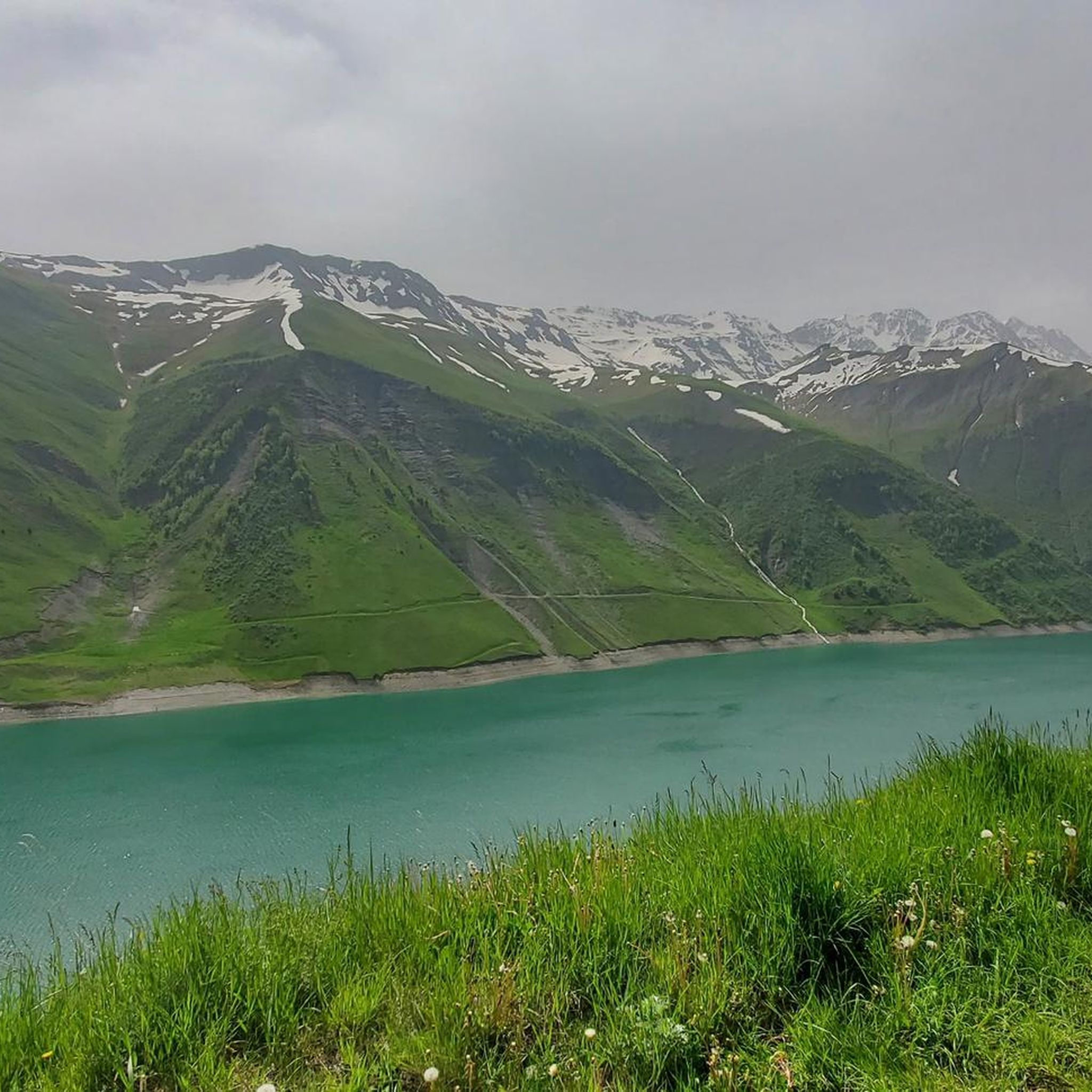
Mountaineering routes Réservoir De Grand-Maison are situated in the French Alps, nestled between the formidable Belledonne and Grandes Rousses massifs at an elevation of approximately 1,700 meters. This region is characterized by its dramatic alpine scenery, featuring rugged peaks, high-altitude lakes, and extensive trail networks. The terrain offers varied challenges, from demanding treks to more technical climbs, with elevations reaching over 3,400 meters.
Best mountaineering routes around Réservoir De Grand-Maison
- The most popular mountaineering route is Lac de la Croix…
Last updated: July 1, 2026
5.0
(2)
5
hikers
8.91km
04:21
590m
590m
Hard mountaineering route. Good fitness required. Sure-footedness, sturdy shoes and alpine experience required.
5.0
(1)
5
hikers
8.57km
03:33
710m
710m
Moderate mountaineering route. Good fitness required. Easily-accessible paths. Suitable for all skill levels.

Sign up for free
5.0
(1)
13
hikers
Hard mountaineering route. Very good fitness required. Mostly accessible paths. Sure-footedness required.
14
hikers
19.5km
11:27
1,790m
1,790m
Hard mountaineering route. Very good fitness required. Sure-footedness, sturdy shoes and alpine experience required.
4.0
(1)
2
hikers
21.2km
11:48
1,820m
1,820m
Hard mountaineering route. Very good fitness required. Sure-footedness, sturdy shoes and alpine experience required.
Our route recommendations are based on thousands of hikes, rides, and runs completed by other people on komoot.
Start today with a free account
Your next adventure awaits.
Login or Signup
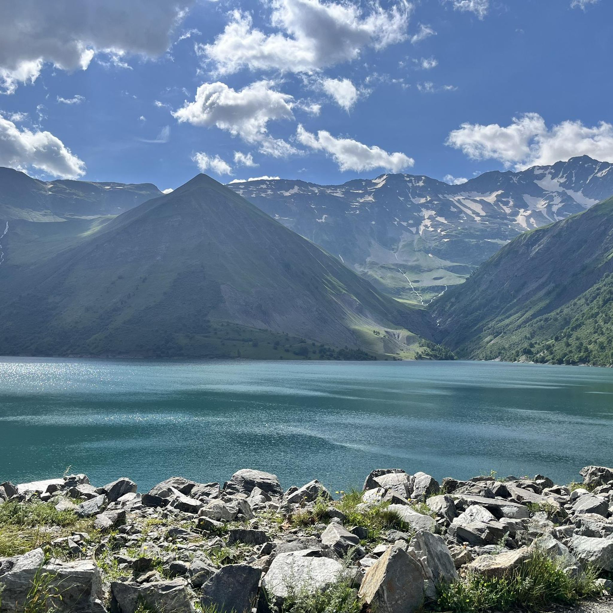
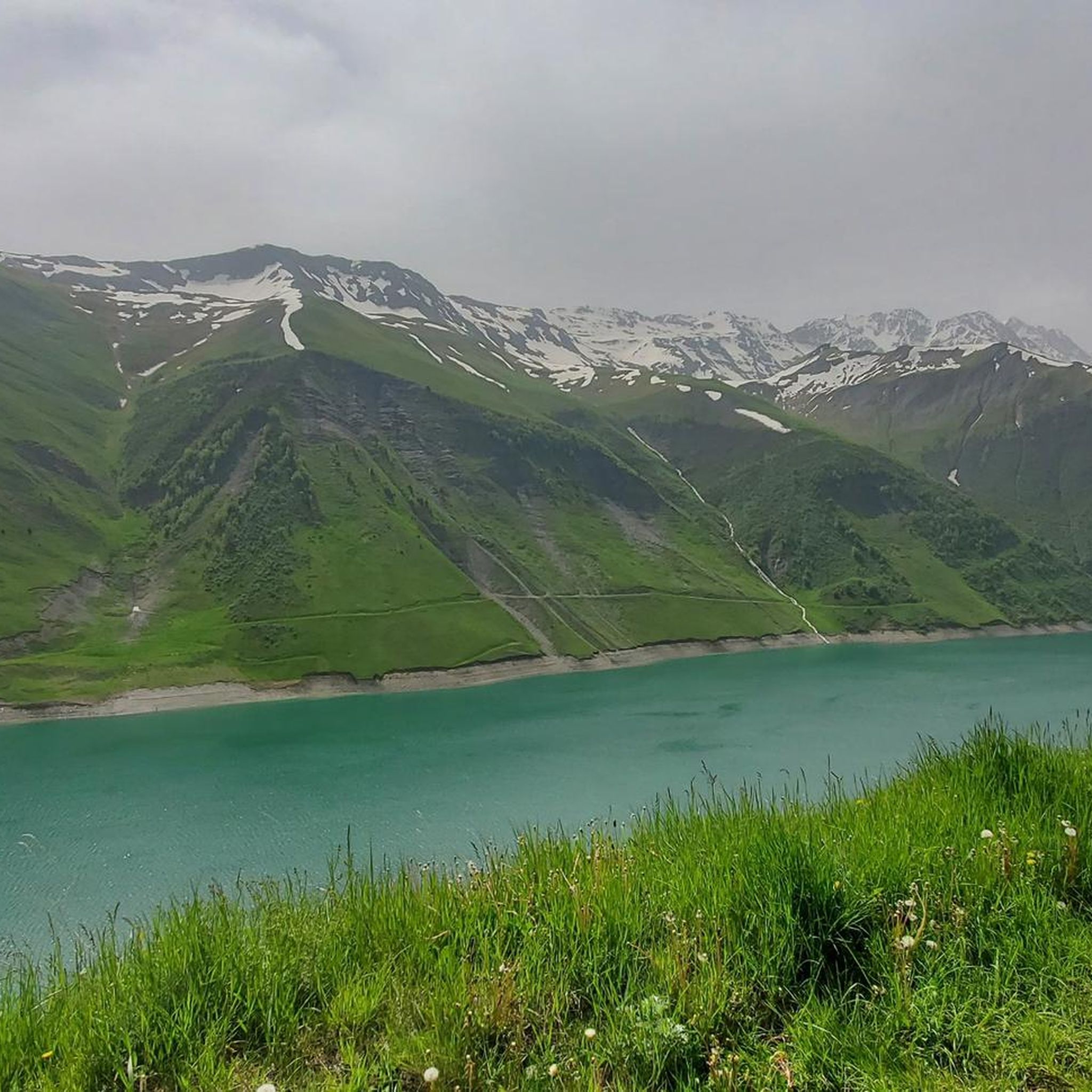
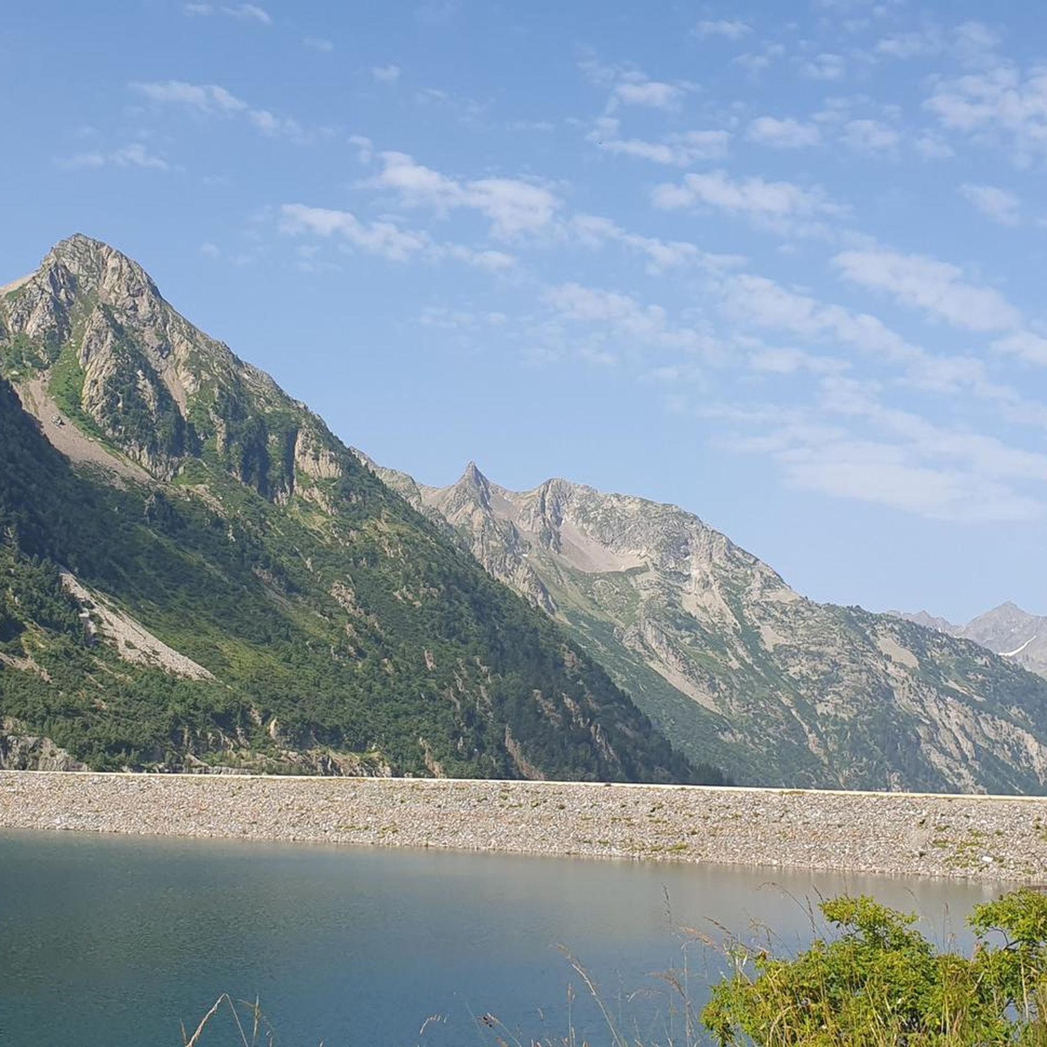
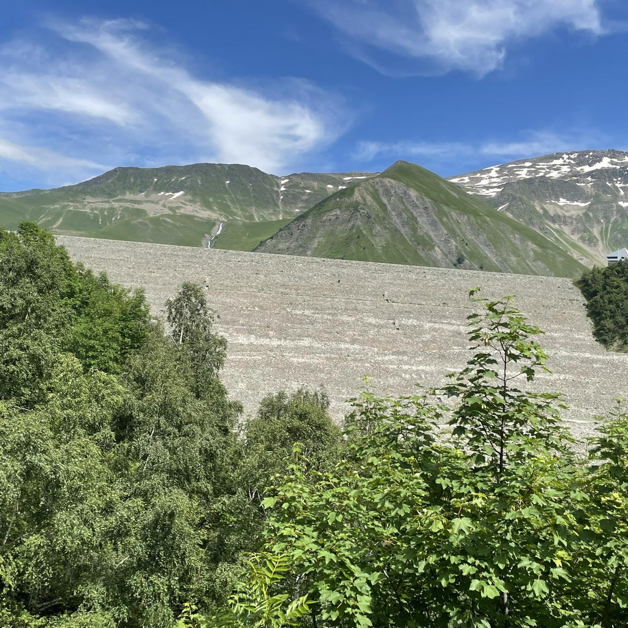
Tips from the Community

The road is long but it's worth it.
0
0

The descent from the Col du Glandon towards the north offers a striking view towards the valley, the Col de la Madeleine and the Mont Blanc massif.
0
0

An ideal base for the Tour des Lacs des 7 Laux... Or for a break before heading back down
0
0
A magical and exceptional site that absolutely must be preserved. Thank you for taking care of it.
0
0

Access is via a very accessible path, 900 m from the last parking lot. You can also park in the parking lot just to the left of the departmental road, which is 1400 m from the path.
0
0
At the pass, we find engraved markers indicating the border between France and the House of Savoy
0
0


a beautiful, easily accessible and refreshing waterfall.
1
0
Frequently Asked Questions
What kind of mountaineering routes can I find around Réservoir De Grand-Maison?
The Réservoir De Grand-Maison area, nestled between the Belledonne and Grandes Rousses massifs, offers a variety of mountaineering routes. You'll find options ranging from moderate ascents to more challenging climbs, with terrain that includes rugged peaks, high-altitude lakes, and extensive trail networks. There are 7 routes available, with 5 rated as moderate and 2 as difficult.
Are there any circular mountaineering routes in the Réservoir De Grand-Maison area?
Yes, several circular routes are available for mountaineering around Réservoir De Grand-Maison. For example, the Lac de la Croix loop from Col du Glandon is a difficult 8.8 km circular trail, offering expansive alpine views. Another option is the moderate View of the Lake and Mountains loop from Vaujany, which is 8.6 km long and leads through varied alpine terrain.
What are the typical difficulty levels for mountaineering routes here?
Mountaineering routes around Réservoir De Grand-Maison cater to various experience levels. You'll find 5 routes rated as moderate, suitable for those with some experience, and 2 routes classified as difficult, which demand good physical condition and alpine experience. The region's terrain, with elevations reaching over 3,400 meters, ensures a challenging and rewarding experience for all.
What are some notable natural features or landmarks to look out for on these routes?
The region is rich in dramatic alpine scenery. You'll encounter the impressive Réservoir De Grand-Maison itself, reflecting the surrounding mountains. The routes often traverse high mountain passes like Col du Glandon and Col de la Croix-de-Fer, offering panoramic views. The formidable Belledonne and Grandes Rousses massifs provide a stunning backdrop, with opportunities to see high-altitude lakes and diverse alpine ecosystems.
What do other mountaineers say about the routes around Réservoir De Grand-Maison?
The mountaineering routes around Réservoir De Grand-Maison are highly rated by the komoot community, with an average score of 4.6 stars from over 10 reviews. Nearly 100 mountaineers have explored this area using komoot, often praising the breathtaking alpine landscapes and the varied challenges offered by the terrain.
Are there any routes that offer views of the Grand'Maison Dam?
Yes, some routes provide excellent views of the Grand'Maison Dam, which is a significant engineering marvel. For instance, the moderate View of the Lake and Mountains loop from Vaujany offers scenic vistas that include the reservoir and its surroundings, likely encompassing views of the dam.
What is the best time of year for mountaineering in this region?
The best time for mountaineering around Réservoir De Grand-Maison is typically during the warmer months, from late spring to early autumn, when trails are generally free of snow and weather conditions are more stable. This allows for access to higher elevations and a full appreciation of the alpine landscapes. Always check local weather and trail conditions before heading out.
Are there any routes that explore the Col de la Croix de Fer (Iron Cross Pass)?
Absolutely. The Col de la Croix de Fer is a prominent feature in the area. You can explore it via the moderate Col de la Croix de Fer (Iron Cross Pass) loop from Col de la Croix-de-Fer, which is 13.2 km long and traverses high mountain passes, providing panoramic vistas. Another option is the Col de la Croix de Fer (Iron Cross Pass) loop from Saint-Jean-d'Arves, a moderate 10.3 km route.
What kind of terrain should I expect on mountaineering routes around Réservoir De Grand-Maison?
The terrain around Réservoir De Grand-Maison is characteristic of the French Alps, offering a mix of challenges. You can expect rugged paths, rocky sections, and significant elevation changes. Routes often lead through alpine meadows, past high-altitude lakes, and along ridges, providing a true mountain experience. Some areas, particularly in the Belledonne massif, can feature loose rock and steep ridges.
Are there any longer, more challenging mountaineering routes available?
For those seeking a longer and more challenging experience, the region offers routes that demand endurance. While specific multi-day technical routes are not detailed here, the presence of the GR738 in the Belledonne massif suggests opportunities for demanding traverses. Among the listed routes, the Col de la Croix de Fer (Iron Cross Pass) loop from Col de la Croix-de-Fer is a moderate 13.2 km path, and the Lac de la Croix loop from Col du Glandon is a difficult 8.8 km route with significant elevation gain, providing a substantial challenge.
Is it possible to access the mountaineering routes by public transport?
While the region is accessible via well-known mountain passes, direct public transport options to all trailheads might be limited. It's advisable to research local bus services or shuttle options connecting to key access points like Col du Glandon or Vaujany, especially during peak season. Many visitors opt for personal vehicles to reach the starting points of these routes.
Are there any specific permits required for mountaineering in the Réservoir De Grand-Maison area?
Generally, for hiking and mountaineering on established trails in the Réservoir De Grand-Maison area, specific permits are not required. However, if you plan to undertake more technical climbs or access certain protected areas, it's always prudent to check with local authorities or mountain guides for any specific regulations or permits that might apply to your chosen activity or route.
Most popular routes around Réservoir De Grand-Maison

Get inspired with the komoot mobile app


Explore more
Browse the best Mountain Hikes & Routes in other regions.
