The best walks and hikes around Bassin De Whitaker
4.4
(1009)
4,765
hikers
160
hikes
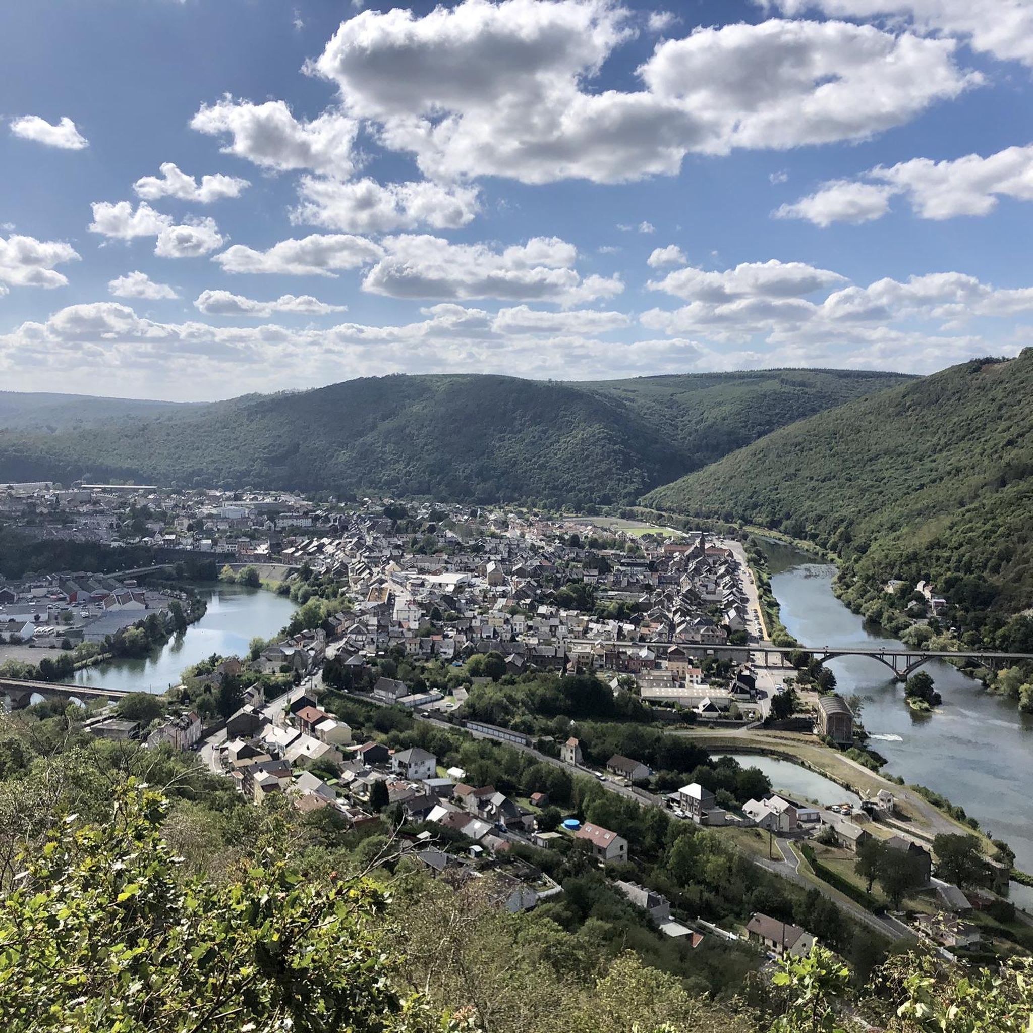
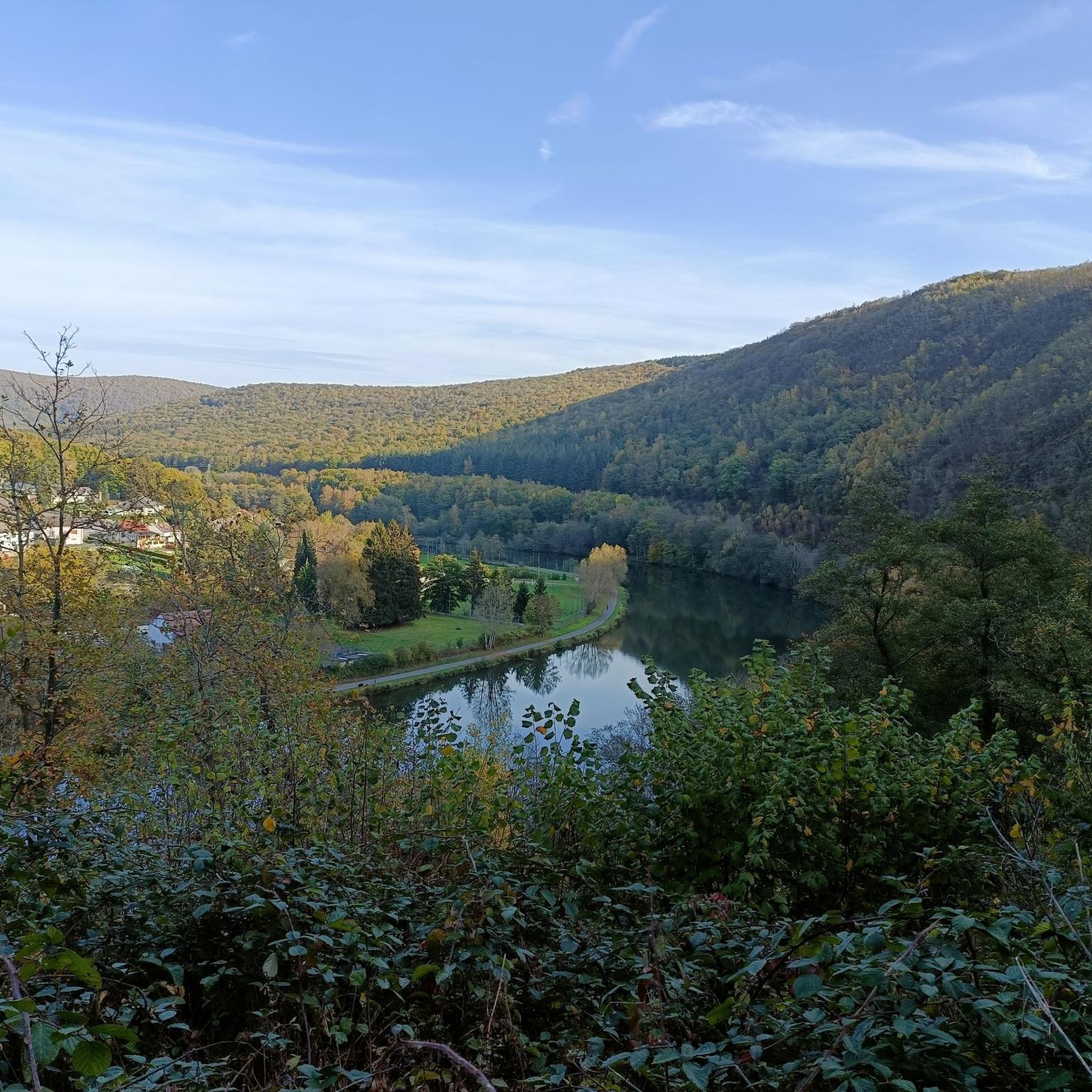
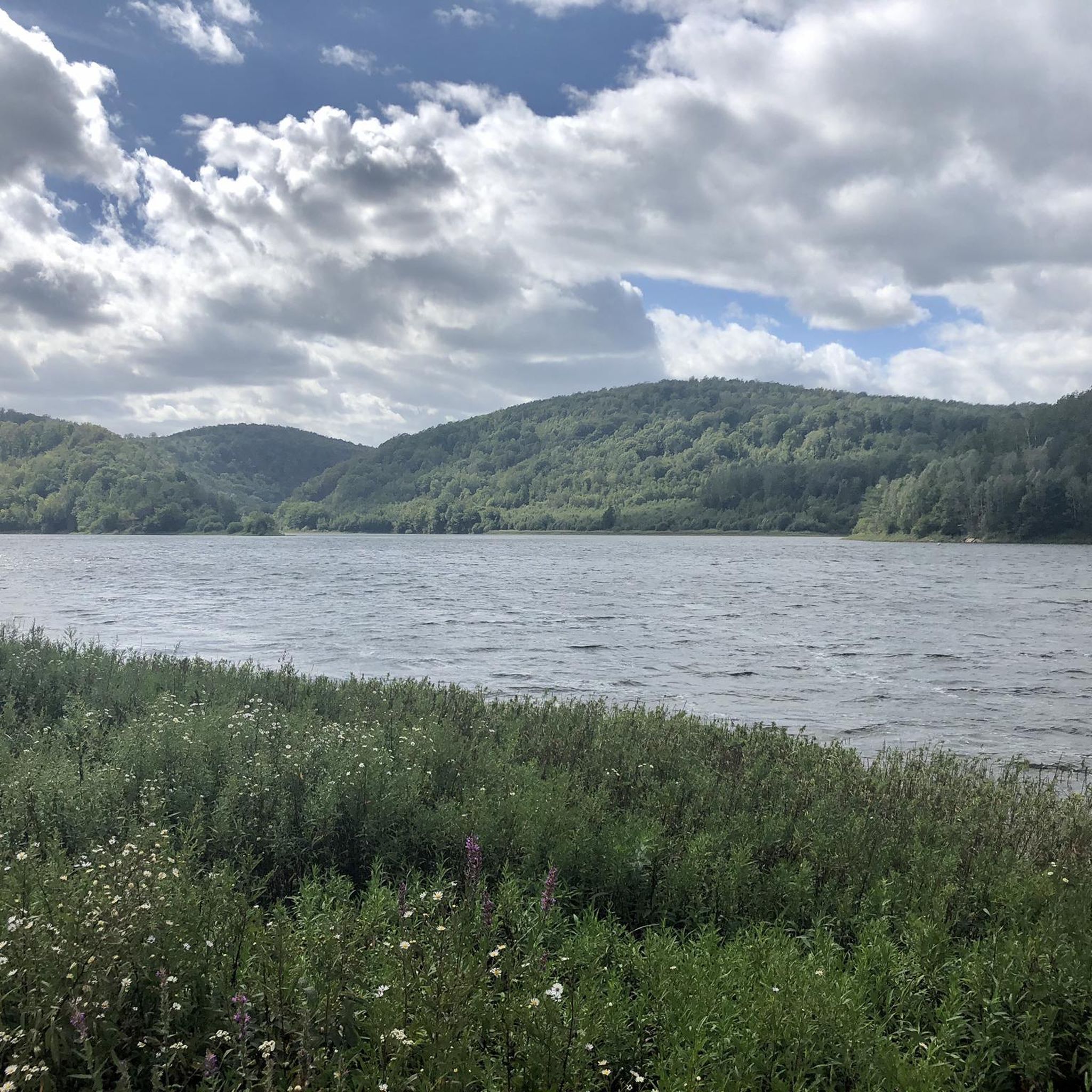
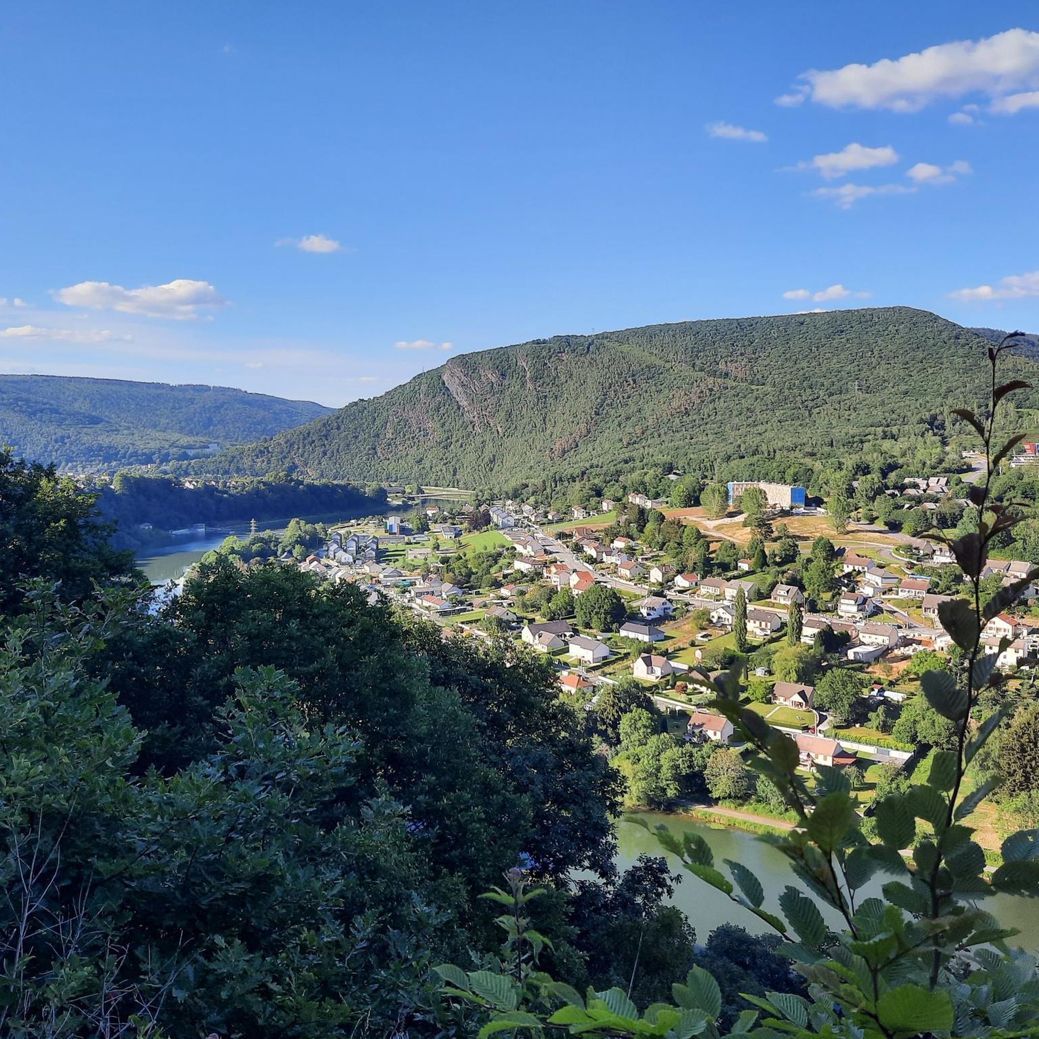
Hiking around Bassin De Whitaker offers diverse landscapes within the hilly and forested Ardennes region. The area is characterized by dense forests, rolling hills, and bodies of water, including the Bassin De Whitaker itself and the nearby Lac des Vieilles Forges. Hikers can traverse through expansive woodlands and along idyllic streams, with the region's varied topography providing options for different levels of hiking. The average altitude of the Ardennes, around 400 meters, contributes to its distinct seasonal charm.
Best hiking…
Last updated: July 9, 2026
4.6
(18)
74
hikers
21.1km
05:55
390m
390m
Hard hike. Very good fitness required. Easily-accessible paths. Suitable for all skill levels.
2
hikers
6.50km
01:56
190m
180m
Easy hike. Great for any fitness level. Easily-accessible paths. Suitable for all skill levels.

Sign up for free
5.0
(1)
6
hikers
6.49km
01:56
170m
170m
Easy hike. Great for any fitness level. Easily-accessible paths. Suitable for all skill levels.
4.0
(3)
10
hikers
8.90km
02:25
120m
120m
Moderate hike. Good fitness required. Easily-accessible paths. Suitable for all skill levels.
4
hikers
6.86km
01:52
90m
100m
Easy hike. Great for any fitness level. Easily-accessible paths. Suitable for all skill levels.
Get access to more routes and recommendations from other explorers.
Sign up for free
Already have an account?
Our route recommendations are based on thousands of hikes, rides, and runs completed by other people on komoot.
Start today with a free account
Your next adventure awaits.
Login or Signup

Tips from the Community

Hike through the forest and return via a small road without significant traffic. In the forest, wet path. Equip yourself accordingly.
0
0

The French Ardennes are a beautiful nature reserve, they are no higher than about 500 m and the northern part in particular is densely wooded, so don't be shocked if you meet such a beautiful wild boar.
2
0
Beautiful bridge over the Faux. The Faux is a tributary of the Maas and is approximately 19 km long.
0
0

This sandy beach, patrolled by lifeguards during the summer months, is a safe and relaxing place to cool off after your run. You can also explore the trails around the lake, which offer varying levels of difficulty and stunning views of the water and wildlife. Whether you are a beginner or an expert, you will find at the Plage du lac des Vieilles Forges a course adapted to your needs and preferences.
2
0

With a bit of luck you have a bite here.
1
0

The bridge is currently not accessible by car. The road is blocked upstream at the "Route de Revin". Allow 40 minutes to walk to the bridge.
2
1

Take a moment to relax in the church of Les Messures. (Only open on Sundays?)
0
0

Frequently Asked Questions
How many hiking trails are available around Bassin De Whitaker?
There are over 140 hiking trails around Bassin De Whitaker, offering a wide range of options for all skill levels, from easy walks to more challenging routes.
What kind of terrain can I expect on hikes in Bassin De Whitaker?
The terrain around Bassin De Whitaker is characterized by dense forests, rolling hills, and picturesque bodies of water, including the Bassin De Whitaker itself and the nearby Lac des Vieilles Forges. You'll find paths traversing woodlands and along idyllic streams, with varied topography providing options for different levels of hiking.
Are there easy hiking options suitable for beginners or families?
Yes, Bassin De Whitaker offers many easy hiking options, with 47 trails categorized as easy. An example is the Bridge over the Faux stream loop from Witaker, an easy 4.0 miles (6.5 km) path that offers a pleasant circular walk.
What is the best time of year to hike in Bassin De Whitaker?
The Ardennes region, where Bassin De Whitaker is located, experiences distinct seasonal charm. Summers are pleasantly cool due to the average altitude of 400 meters, making it ideal for hiking. Winters often bring snow, offering a different, picturesque hiking experience.
Are there any circular walks available in the area?
Yes, many trails in Bassin De Whitaker are circular. For instance, the Bridge over the Faux stream – Fishing pond loop from Huet Bas is a 4.0 miles (6.5 km) circular trail through forested areas and past a fishing pond.
What do other hikers enjoy most about the trails in Bassin De Whitaker?
The trails in Bassin De Whitaker are highly rated by the komoot community, with an average score of 4.4 stars from over 800 reviews. Hikers often praise the diverse landscapes, the serene forest paths, and the beautiful views of the lakes and streams.
Are dogs allowed on the hiking trails around Bassin De Whitaker?
While specific regulations for dogs can vary, the natural environment of the Ardennes region generally welcomes dogs on trails, especially when kept on a leash. It's always recommended to check local signage for any specific restrictions in certain areas or nature reserves.
Where can I find parking for hiking trails in Bassin De Whitaker?
Parking is generally available at common starting points for trails, particularly around popular areas like the Lac des Vieilles Forges. Many trailheads, especially those near villages or recreational zones, offer designated parking facilities.
Are there any moderate difficulty hikes for those looking for a bit more challenge?
Yes, there are 64 moderate trails available. A good option is the Bridge over the Faux stream loop from Centrale souterraine de Revin, an 8.9 km (5.5 miles) route that offers a balanced challenge.
What kind of wildlife might I encounter while hiking in Bassin De Whitaker?
The rich environment of the Ardennes region supports diverse fauna and flora. Hikers may observe various wildlife species during their excursions through the dense forests and along streams, including birds, deer, and other small mammals native to the European woodlands.
Are there places to eat or stay near the hiking areas, especially around Lac des Vieilles Forges?
The Lac des Vieilles Forges is a popular spot with amenities like picnic areas and barbecues. You can also find ice cream parlors near its beach. For more substantial meals or accommodation, nearby villages and towns in the Ardennes region offer various options.
How accessible are the hiking trails by public transport?
While the region is best explored by car, some villages and towns in the Ardennes have limited public transport connections. It's advisable to check local bus schedules to see if they align with specific trailheads or starting points for your planned hike.
Are there any shorter, easy loops for a quick walk?
Absolutely. The Fishing pond – Bridge over the Faux stream loop from La Neuve Forge is an easy 4.7 km (2.9 miles) trail, perfect for a shorter, relaxing walk.
Most popular routes around Bassin De Whitaker

Get inspired with the komoot mobile app


Explore more
Browse the best Hikes in other regions.
