The best walks and hikes around Etang De Bignotoi
4.0
(147)
818
hikers
49
hikes
Hiking around Etang De Bignotoi is primarily located within the Centre-Val de Loire region of France, near Châteauroux. The terrain is generally flat, characterized by numerous lakes (étangs) and natural reserves, particularly the Réserve naturelle des Terres et Étangs de Brenne. This landscape provides opportunities for easy to moderate walks.
Best hiking trails around Etang De Bignotoi
- The most popular hiking route is Encounter with the Brenne Landscapes Trail, an 8.8 miles (14.2 km) trail that takes 3 hours…
Last updated: July 5, 2026
3.1
(8)
22
hikers
14.2km
03:38
50m
50m
Hike the moderate 8.8-mile Le Blizon loop through the Brenne Lands and Ponds Nature Reserve, a haven for birdwatching in the 'country of 100
4.5
(21)
140
hikers
Moderate hike. Good fitness required. Easily-accessible paths. Suitable for all skill levels.

Sign up for free
4.3
(10)
37
hikers
6.67km
01:41
10m
10m
Easy hike. Great for any fitness level. Easily-accessible paths. Suitable for all skill levels.
4.4
(7)
27
hikers
Easy hike. Great for any fitness level. Easily-accessible paths. Suitable for all skill levels.
2.8
(4)
9
hikers
Moderate hike. Good fitness required. Easily-accessible paths. Suitable for all skill levels.
Get access to more routes and recommendations from other explorers.
Sign up for free
Already have an account?
Our route recommendations are based on thousands of hikes, rides, and runs completed by other people on komoot.
Start today with a free account
Your next adventure awaits.
Login or Signup

Tips from the Community

Access prohibited at a given time... obligation to turn around.... UNACCEPTABLE 😡😡
2
0

Hello, part of this trail passes inside a nature reserve, access to which is prohibited to the public. Do not follow this entire route, otherwise you will be fined by the guards. Please respect the site regulations.
2
0

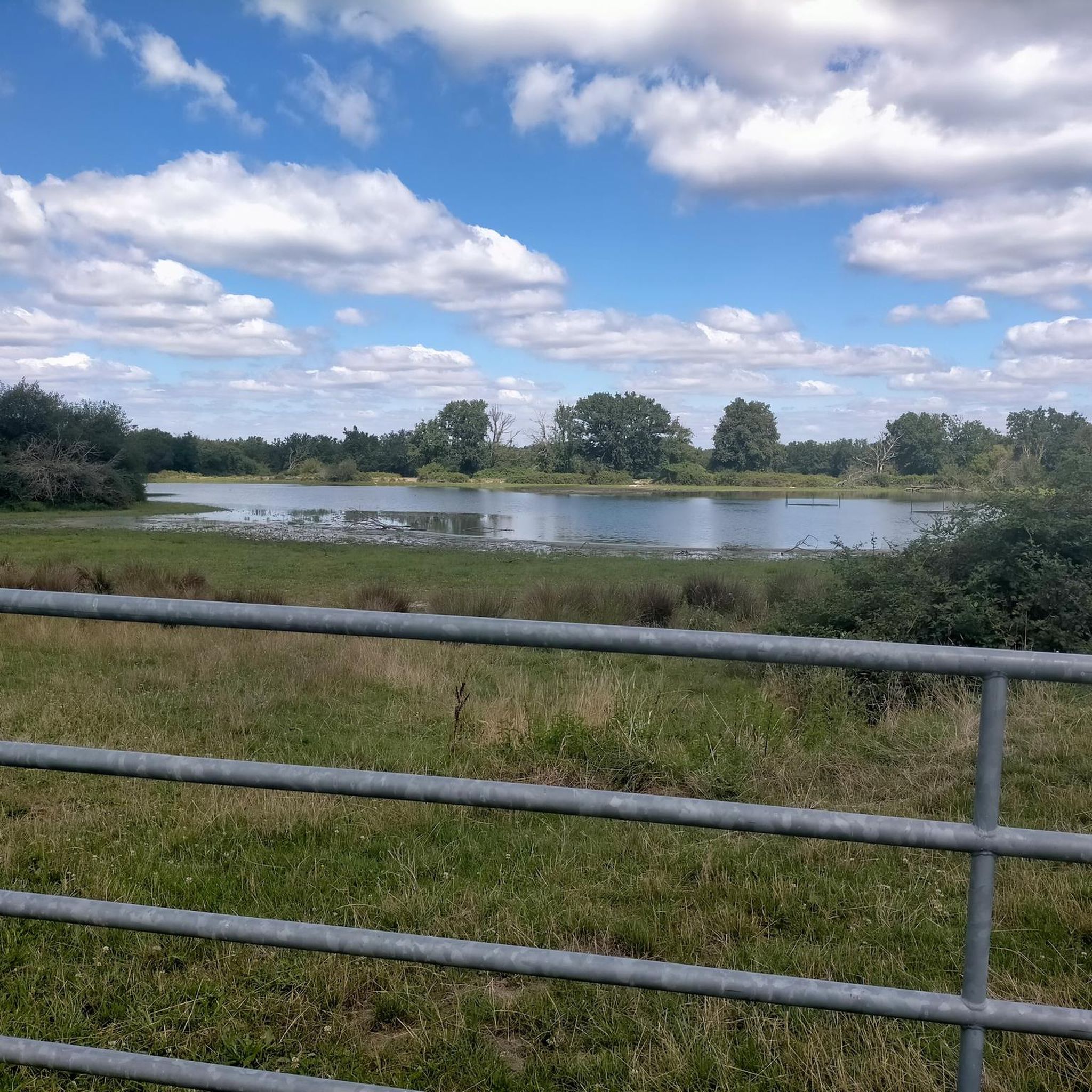
A unique experience of running on this pond in the heart of the Regional Natural Park of Brenne - the country of 1000 ponds.
2
0
A unique experience to walk on this pond in the heart of the Regional Natural Park of Brenne - the country of 1000 ponds.
3
0
Hard to miss, this ancient 11th century fortress stands proudly on a hill of red sandstone and dominates the area around it. Open to visits from April to November, this castle has been completely renovated to make you feel what it was like during its history, especially during the Hundred Years War.
3
0
Frequently Asked Questions
How many hiking trails are available around Etang De Bignotoi?
There are over 50 hiking trails available in the broader area around Etang De Bignotoi, primarily within the Réserve naturelle des Terres et Étangs de Brenne. These routes offer a variety of experiences for different skill levels.
What is the typical terrain like for hiking in this region?
The terrain around Etang De Bignotoi and within the Réserve naturelle des Terres et Étangs de Brenne is generally flat. It is characterized by numerous lakes (étangs) and natural reserves, offering gentle walks through a wetland landscape.
What are the difficulty levels of the hikes around Etang De Bignotoi?
The trails in this area cater to various abilities. You'll find a good mix, with approximately 22 easy routes, 28 moderate routes, and a few more challenging options for experienced hikers.
Are there family-friendly hiking options near Etang De Bignotoi?
Yes, the generally flat terrain and numerous easy routes make the area suitable for families. Trails like the Hiking loop from Rosnay, which is 3.2 miles (5.1 km) and takes about 1 hour 17 minutes, are excellent choices for a family outing.
Can I bring my dog on the trails around Etang De Bignotoi?
While specific regulations can vary, generally, dogs are permitted on trails in natural areas, often requiring them to be on a leash to protect local wildlife. It's always advisable to check local signage or park regulations for the specific trail you plan to hike.
Are there any circular hiking routes available?
Yes, many of the trails in the region are circular, offering convenient starting and ending points. An example is the Footbridge over water loop from Réserve naturelle des Terres et Étangs de Brenne, Massé, Foucault, an easy 4.4 km loop.
What kind of natural features or viewpoints can I expect to see?
The primary natural features you'll encounter are the numerous lakes (étangs) and the diverse wetland ecosystems of the Réserve naturelle des Terres et Étangs de Brenne. While there aren't prominent elevated viewpoints, the trails offer serene views across the water and through the natural reserves.
What do other hikers enjoy the most about hiking in this area?
The area is highly rated by the komoot community, with an average score of 4.0 stars from over 140 reviews. Hikers often praise the peaceful atmosphere, the abundance of lakes, and the opportunities for easy, accessible walks through nature.
Is there parking available for hikers?
While specific parking areas for Etang De Bignotoi itself are limited due to its primary use for fishing, trailheads within the broader Réserve naturelle des Terres et Étangs de Brenne typically offer designated parking. It's recommended to check the starting point of your chosen route for specific parking information.
What is the best time of year to go hiking around Etang De Bignotoi?
The spring and autumn months are generally ideal for hiking in this region, offering pleasant temperatures and beautiful natural scenery. Summers can be warm, while winters are typically mild but may have wetter conditions.
Are there any longer, more challenging routes for experienced hikers?
Yes, for those seeking a longer experience, the Encounter with the Brenne Landscapes Trail is a moderate 8.8 miles (14.2 km) path that traverses varied landscapes within the Brenne region, showcasing its natural features over a longer duration.
Can I find routes that pass by multiple lakes?
Absolutely. The region is known for its 'land of a thousand ponds.' Routes like the Étang de Rianvert – Étang Capitaine loop from Réserve naturelle des Terres et Étangs de Brenne, Massé, Foucault will take you past several of these characteristic water bodies.
Most popular routes around Etang De Bignotoi

Get inspired with the komoot mobile app


Explore more
Browse the best Hikes in other regions.
