The best road cycling routes around Cevio
4.8
(171)
11,433
riders
13
rides
Road cycling around Cevio, nestled in Switzerland's Vallemaggia region, offers diverse landscapes characterized by the Maggia River, which has carved deep gorges and valleys. The terrain transitions from fertile valley floors to challenging alpine ascents, featuring numerous lakes and mountain passes. Road cyclists can expect a mix of flat sections and sustained climbs, providing varied experiences across the region.
Best road cycling routes around Cevio
- The most popular road cycling route is Discovering Lago di Naret, a difficult 39.9 miles (64.2 km) trail that takes 4 hours 14 minutes to complete. This route features significant elevation gain towards the alpine Lago del Narèt.
- Another top favourite among local road cyclists is From Cevio to Lago del Sambuco, a difficult 29.4 miles (47.3 km) path. This route ascends through mountain scenery to the picturesque Lago del Sambuco.
- Local road cyclists also love the From Bignasco to Cimalmotto, a 24.8 miles (39.9 km) trail leading through Val Bavona, often completed in about 2 hours 33 minutes.
- Road cycling around Cevio is defined by the Maggia River valley, challenging alpine lakes, and traditional villages. The network offers options for various ability levels, from leisurely valley rides to strenuous mountain climbs.
- The routes in Cevio are highly rated by the komoot community with an average score of 4.8 stars from over 100 reviews. More than 9,000 road cyclists have used komoot to explore Cevio's varied terrain.
Last updated: May 26, 2026
5.0
(8)
71
riders
64.2km
04:14
2,030m
2,030m
Hard road ride. Very good fitness required. Mostly well-paved surfaces and easy to ride.
5.0
(1)
58
riders
47.3km
02:50
1,200m
1,200m
Hard road ride. Very good fitness required. Mostly well-paved surfaces and easy to ride.

Sign up for free
5.0
(1)
21
riders
39.9km
02:33
1,140m
1,130m
Hard road ride. Very good fitness required. Mostly well-paved surfaces and easy to ride.
5.0
(1)
5
riders
21.7km
01:21
600m
600m
Moderate road ride. Good fitness required. Mostly well-paved surfaces and easy to ride.
3
riders
18.5km
00:53
260m
260m
Easy road ride. Great for any fitness level. Mostly well-paved surfaces and easy to ride.
Get access to more routes and recommendations from other explorers.
Sign up for free
Already have an account?
Our route recommendations are based on thousands of hikes, rides, and runs completed by other people on komoot.
Start today with a free account
Your next adventure awaits.
Login or Signup
Popular around Cevio
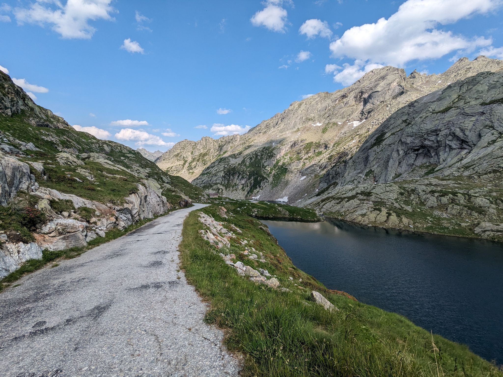
Great passes and green valleys – Ticino climbs
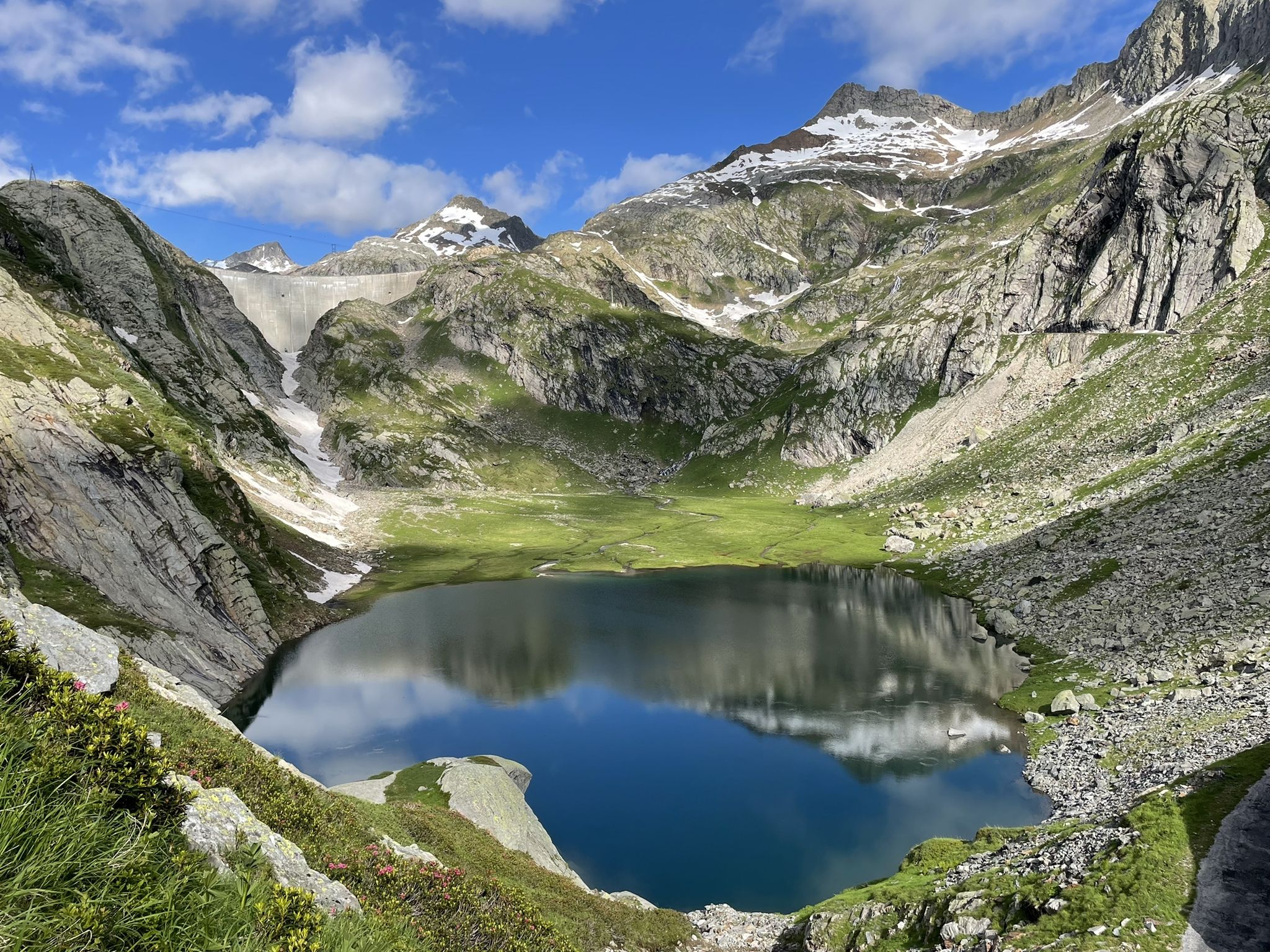
Sentiero Cristallina – 3 days through the mountains of Ticino
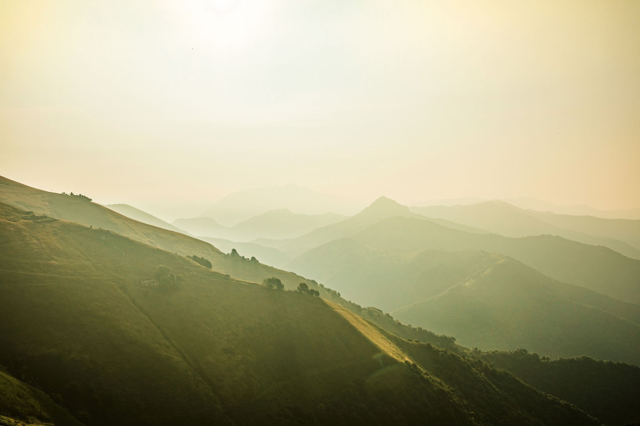
Ticino — Between heaven and formaggini
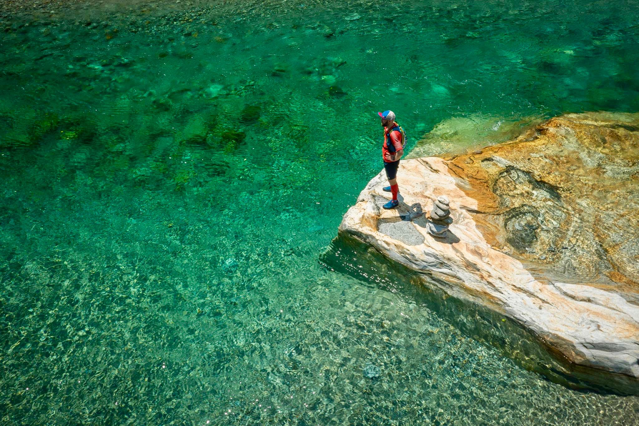
5 trails to run before you die - Ascona-Locarno
From palm trees to glaciers
Hiking around Cevio
MTB Trails around Cevio
Running Trails around Cevio
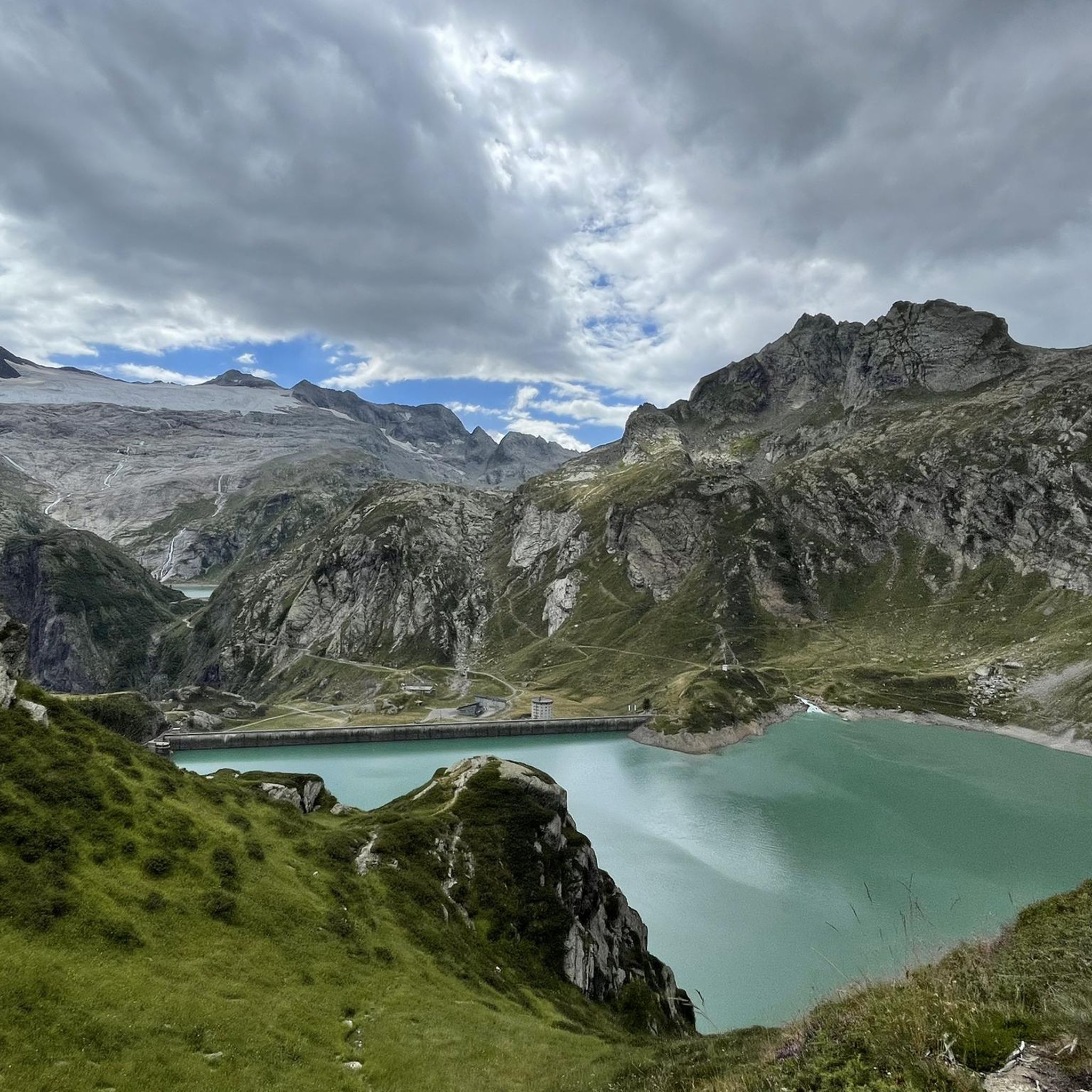
Cycling around Cevio
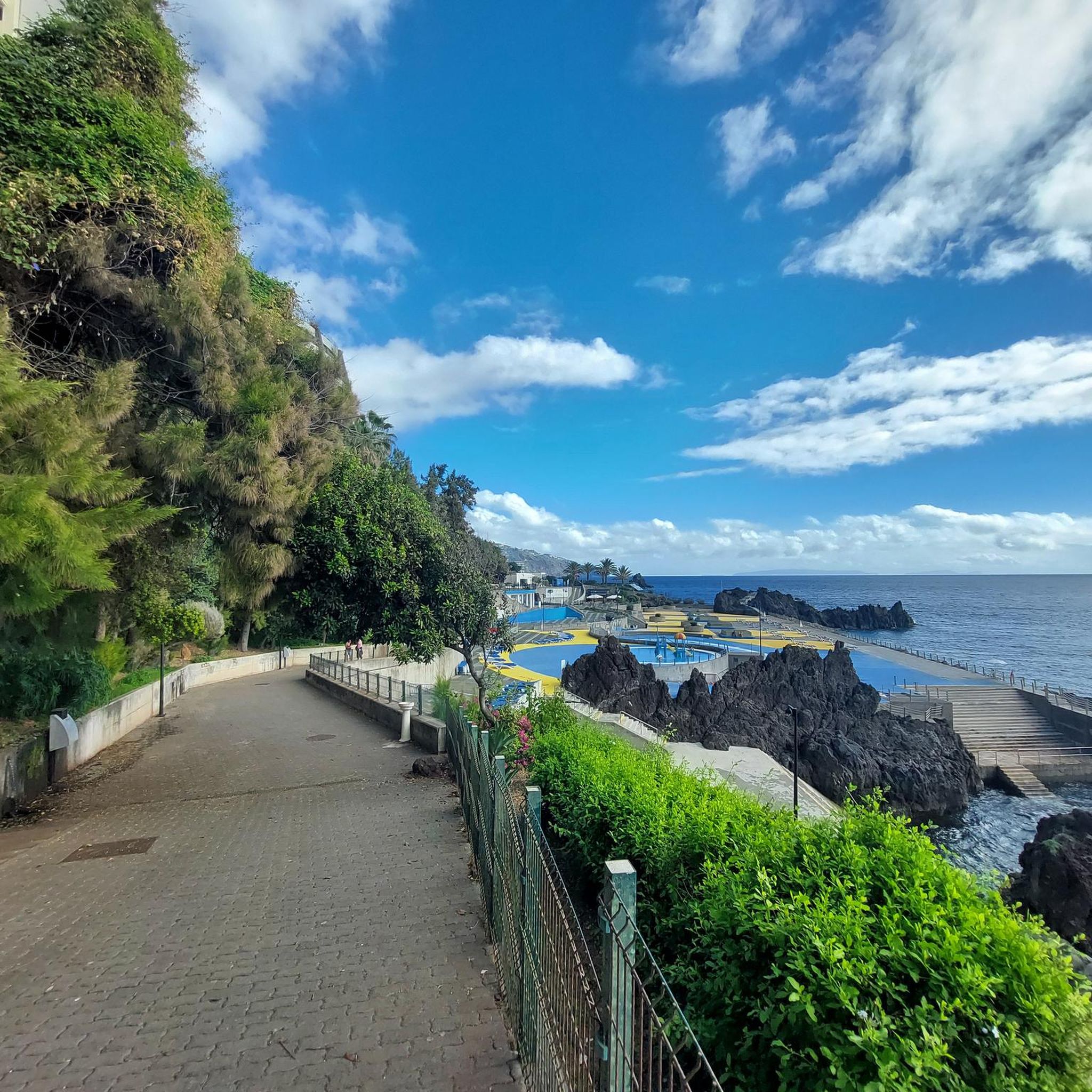
Mountain Hikes around Cevio
Other adventures around Cevio


Tips from the Community

If you're driving up from Cevio, Cerentino is a good first stop. After a few nasty climbs, you can decide which valley end you'd like to head to: Cimalmotto in the Valle di Campo or Bosco Gurin in the Valle di Bosco Gurin. Both valleys are beautiful!
0
0

This is such a nice spot to rest, take a swim and ideal for camping but alas.... there is a 'no camping' sign. For camping, one can go right to the other end of the road.
0
0
As others have already said: It's tough, steep, and beautiful here! It's best to split the climb into shorter stages, so the 2,000 meters of elevation gain over 30 kilometers from Bignasco aren't quite as terrifyingly daunting. From Bignasco to Prato Sornico, it's rarely very steep. There are a few flat sections where you can pick up a decent pace. After Mogno (visit the church in Botta) and up to Fusio, things really get going for the first time. Many hairpin bends soften the incredibly nasty ramps, but your legs will still be tested here! Up to the Sambucco reservoir, it becomes truly idyllic, green, and quiet. There are a few tough climbs, but even here, the difficulty is still manageable. There's a fountain at the summer restaurant: fill up your bidons again, because there are only streams and gullies here. After the relaxing flat section by the lake, the final and most strenuous part of the climb follows. The scenery is stunning, but it's steep all the way to the top! Wow!
1
0
There are few places to stop for refreshments in Val Bavona, which is why La Froda in Foroglio is usually very busy. The view of the waterfall from the terrace is unique.
0
0

The Faroglio waterfall is one of the most spectacular in the entire Bavona valley. Here the water makes a leap of 110 metres.
2
0
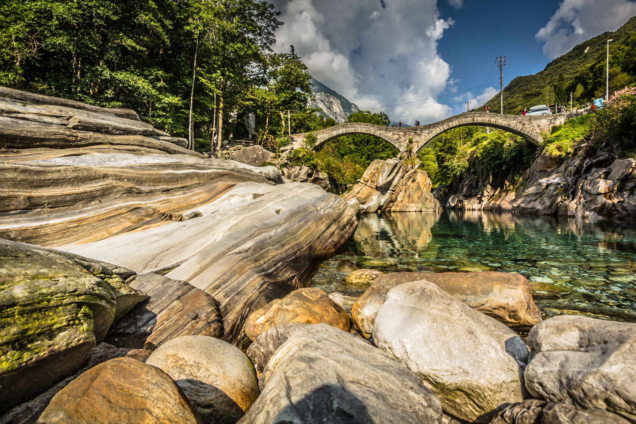
Particularly evocative for its rock architecture, Sabbione is one of the small villages with traditional and historic stone houses in the Ticino Val Bavona.
0
0
Cerentino is a village in Vallemaggia which boasts of being the municipality in Valmaggia with the largest number of hamlets inhabited all year round. From every corner you can enjoy a beautiful view of the valley.
1
0
Cevio is the capital of Vallemaggia, nevertheless its size is small. The suggestive central streets are worth a visit.
1
0
Frequently Asked Questions
How many road cycling routes are available around Cevio?
Cevio and the surrounding Vallemaggia region offer around 13 dedicated road cycling routes. These routes cater to a wide range of abilities, from leisurely rides along the valley floor to challenging alpine ascents.
What kind of terrain can I expect when road cycling in Cevio?
The terrain around Cevio is incredibly diverse. You'll find routes that follow the Maggia River through fertile valley floors and past traditional villages, offering relatively flat sections. For those seeking a challenge, there are significant alpine ascents leading to stunning mountain lakes and passes, providing a mix of sustained climbs and picturesque views.
Are there road cycling routes suitable for beginners or families in Cevio?
Yes, there is at least one easy road cycling route ideal for beginners or families. The Valle Maggia Cycle Route is a great option, following the Maggia River on mostly paved surfaces through enchanting scenery and traditional villages, offering a more relaxed experience.
What are some of the most challenging road cycling routes in the Cevio area?
For experienced road cyclists seeking a strenuous workout, Cevio offers several demanding routes. The Discovering Lago di Naret route, for example, is a difficult 39.9-mile (64.2 km) trail with over 2,000 meters of elevation gain. Another challenging option is From Cevio to Lago del Sambuco, which ascends through dramatic mountain scenery.
What natural attractions can I see along the road cycling routes in Vallemaggia?
Many routes in Vallemaggia offer stunning natural sights. You can encounter the powerful Maggia River, which has carved deep gorges, and pass by scenic waterfalls like the Froda Waterfall or the Foroglio village and waterfall. The region also features beautiful alpine lakes such as Lago del Sambuco and Lago del Narèt, often serving as rewarding destinations for challenging climbs.
Are there any cultural landmarks or traditional villages to explore while cycling near Cevio?
Absolutely. Road cycling routes frequently pass through charming, typical villages, allowing riders to experience the local culture. The authentic Val Bavona, for instance, with its traditional stone houses, offers a fairy-tale-like setting. You might also encounter historical landmarks like the Roman Bridge of Maggia or the Foroglio village.
What is the best time of year for road cycling in Cevio?
The summer months are generally ideal for road cycling in Cevio, especially for routes involving higher alpine passes. During this time, the weather is typically stable, and all routes, including those to alpine lakes, are accessible. The lush landscapes and pleasant temperatures make for an enjoyable cycling experience.
What do other road cyclists enjoy most about road cycling in Cevio?
The road cycling routes around Cevio are highly rated by the komoot community, with an average score of 4.8 stars. Reviewers often praise the diverse landscapes, from the Maggia River valley to challenging alpine ascents, and the well-maintained paths. The mix of flat sections and sustained climbs, along with the picturesque views of natural beauty and traditional villages, are frequently highlighted.
Is it possible to find circular road cycling routes around Cevio?
While some routes might be out-and-back, the region's network of roads and paths allows for creating various cycling loops. The Roman Bridge of Maggia, for example, can be incorporated into cycling loops. Many routes are designed to showcase the varied terrain, offering opportunities to start and end in the same location or connect different valleys.
Are there options for public transport or parking for cyclists in Cevio?
Yes, Cevio and the Vallemaggia region are generally accessible. For public transport, local bus services often connect villages, which can be useful for reaching starting points or returning from longer routes. Ample parking is typically available in Cevio and other main villages, making it convenient for cyclists arriving by car to begin their tours.
Are there any road cycling routes that pass by waterfalls in the Cevio area?
Yes, several routes offer views of stunning waterfalls. The Foroglio Waterfall is a notable example, located in a picturesque village that many cycling routes pass through or near. You might also encounter other scenic waterfalls like the Froda Waterfall, providing beautiful stopping points along your ride.
Can I find cafes or restaurants along the road cycling routes in Vallemaggia?
Yes, as routes frequently pass through charming traditional villages, you'll often find opportunities for refreshment. Many villages along the Maggia River and in the valleys offer cafes, restaurants, or guesthouses where you can stop for a break, enjoy local cuisine, and refuel during your ride.
Most popular attractions around Cevio

Get inspired with the komoot mobile app


Explore more
Browse the best Road cycling routes in other regions.
