The best walks and hikes around Lake Wohlen
4.5
(2171)
17,244
hikers
940
hikes
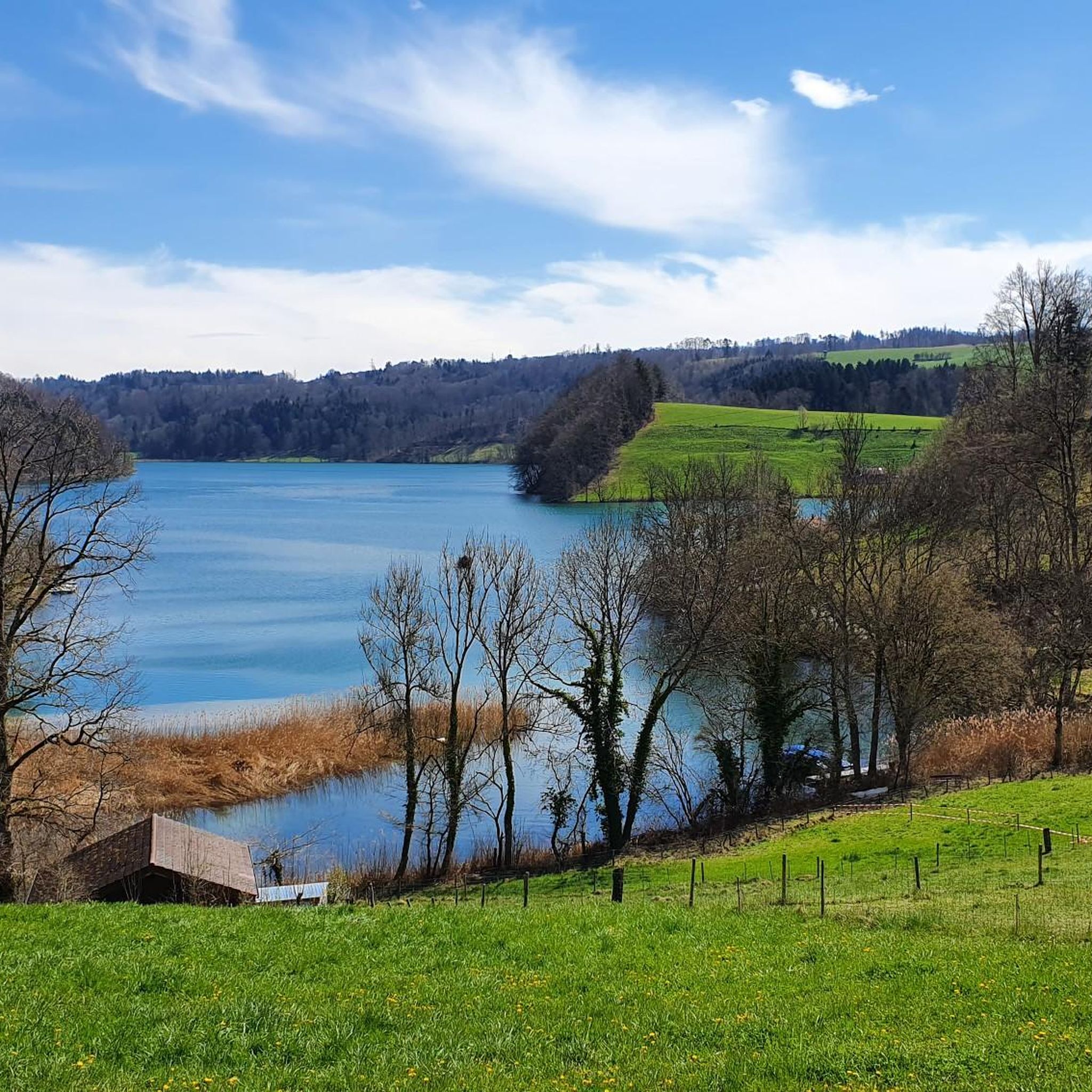
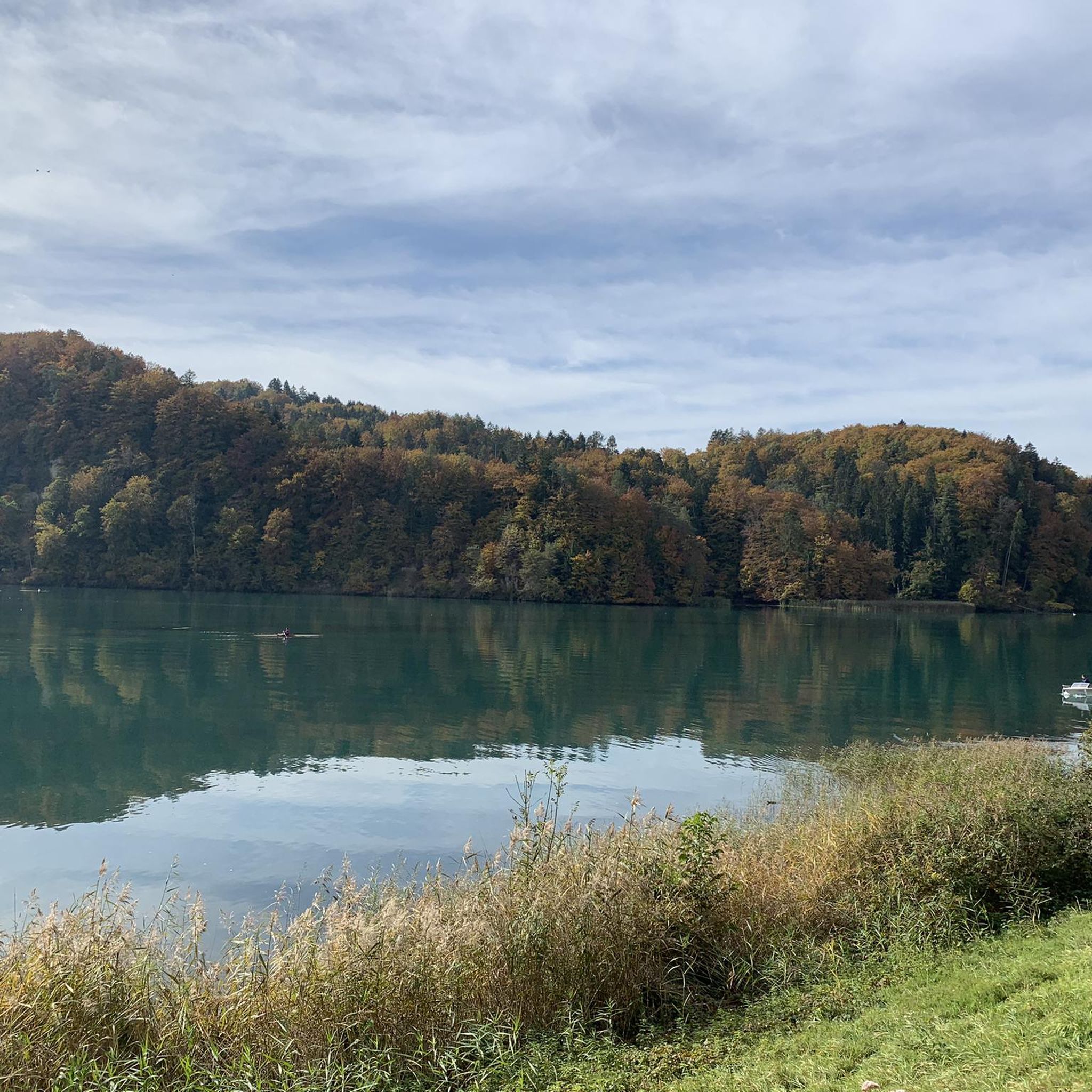
Hiking around Lake Wohlen, a reservoir fed by the Aare River, offers varied terrain approximately five kilometers west of Bern. The region features rolling hills and green fields alongside the elongated lake, which resembles a river in parts. Man-made structures such as the Wohleibrücke and the Mühleberg hydroelectric power plant's weir are integrated into the natural landscape. Renatured areas around the lake provide dynamic scenery for outdoor activities.
Best hiking trails around Lake Wohlen
- The most popular hiking route is Wohlensee – Wohleibrücke loop from Mühleberg, a 11.4 miles (18.3 km) trail that takes 5 hours 12 minutes to complete. This difficult route connects the lake with the prominent Wohleibrücke.
- Another top favourite among local hikers is Wohleibrücke – Wohlensee loop from Wohlen, a difficult 11.9 miles (19.2 km) path. This challenging trail explores the lake's shores and the Wohleibrücke.
- Local hikers also love the Saanesteg Bridge – Mühleberg Hydroelectric Power Plant loop from Mühleberg, a 11.5 miles (18.5 km) trail leading through varied landscapes, often completed in about 5 hours 9 minutes.
- Hiking around Lake Wohlen is defined by rolling hills, green fields, and the Aare River, alongside man-made structures like the Wohleibrücke and the Mühleberg hydroelectric power plant. The network offers options for different ability levels, from moderate paths to more difficult ascents.
- The routes in Lake Wohlen are highly rated by the komoot community with an average score of 4.5 stars from more than 1900 reviews. More than 16000 hikers have used komoot to explore Lake Wohlen's varied terrain.
Last updated: June 27, 2026
4.7
(13)
83
hikers
18.3km
05:12
400m
400m
Hard hike. Very good fitness required. Easily-accessible paths. Suitable for all skill levels.
4.7
(15)
94
hikers
19.2km
05:32
450m
450m
Hard hike. Very good fitness required. Easily-accessible paths. Suitable for all skill levels.

Sign up for free
4.8
(5)
22
hikers
Hard hike. Very good fitness required. Mostly accessible paths. Sure-footedness required.
4.8
(6)
26
hikers
7.88km
02:12
150m
150m
Moderate hike. Good fitness required. Easily-accessible paths. Suitable for all skill levels.
4.7
(3)
24
hikers
15.3km
04:10
230m
230m
Moderate hike. Good fitness required. Easily-accessible paths. Suitable for all skill levels.
Get access to more routes and recommendations from other explorers.
Sign up for free
Already have an account?
Our route recommendations are based on thousands of hikes, rides, and runs completed by other people on komoot.
Start today with a free account
Your next adventure awaits.
Login or Signup
Tips from the Community

unworthy of a national cycle path. This again shows the strengths of Swiss transport policy: great at signage, weak when it comes to removing obstacles.
1
0
Tiring to cross this spot with the fully packed bike. From below a lot of pushing, from above dismounting and braking.
1
0

Beware of the stairs! There's a ramp for bicycles (very steep and narrow). This section is almost impossible to pass with a trailer, but there is an alternative via Mühlebergstrasse and Riedacherweg.
2
0

On Sundays and public holidays and of course when the weather is nice, the area is overpopulated.
0
0
It's easy to do in uncertain weather; it's no problem if you get caught in the rain. The route is absolutely safe.
0
0

In summer, a wonderful opportunity for a short stop with food by the water. In the cozy Bogen 17 kiosk/container restaurant😉
0
0

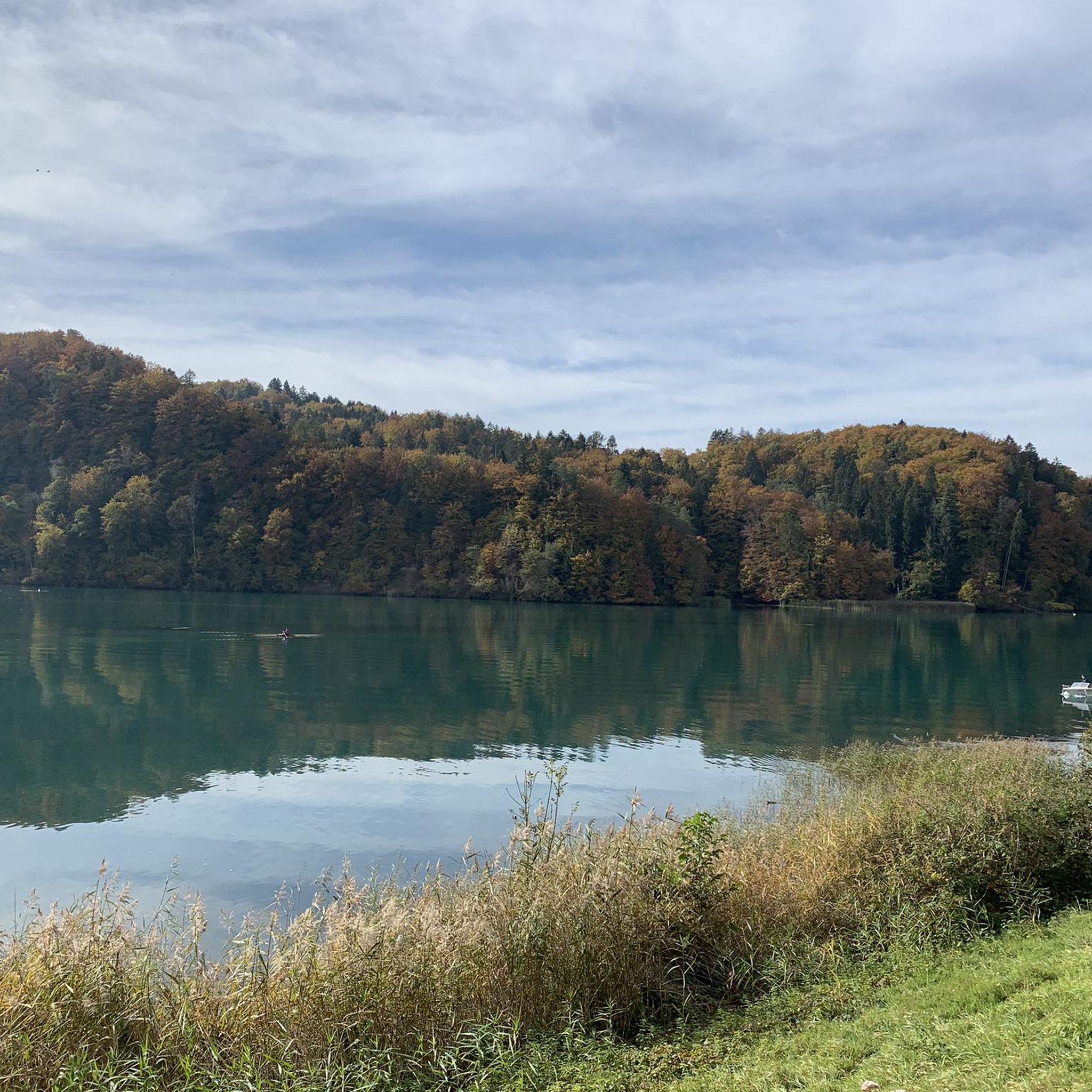
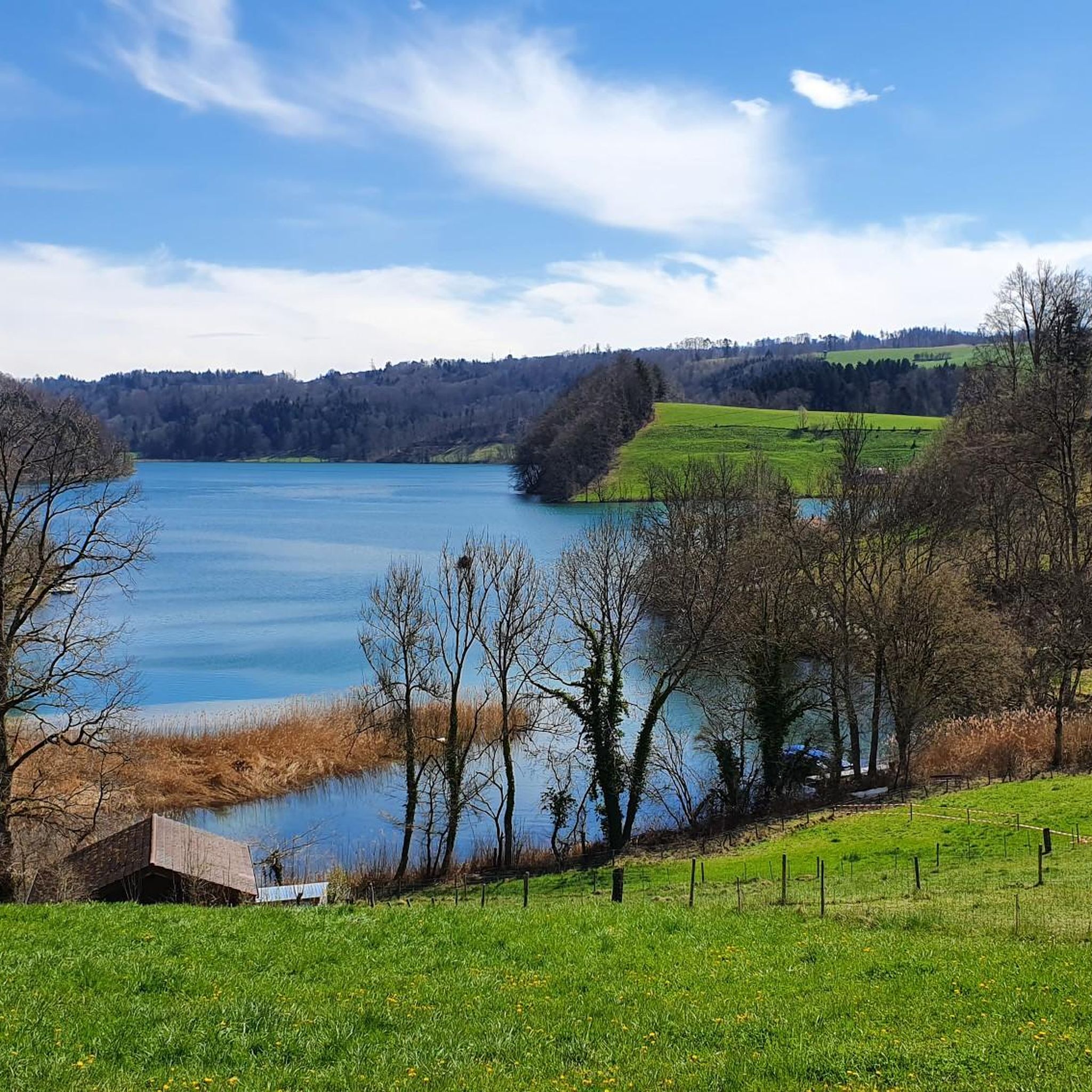
The Wohlensee is a beautiful reservoir created on the course of the Aare. Its banks offer a lovely setting for walking.
0
0

Nice gravel trail and beautiful view
0
0
Frequently Asked Questions
How many hiking trails are available around Lake Wohlen?
There are over 960 hiking trails available around Lake Wohlen. These routes cater to various preferences, with over 520 easy trails, 400 moderate trails, and 37 difficult options for more experienced hikers.
What kind of terrain can I expect on hikes around Lake Wohlen?
Hikes around Lake Wohlen feature a diverse landscape. You'll encounter rolling hills, green fields, and renatured areas along the elongated lake, which in parts resembles a river. Many trails offer a unique blend of natural beauty and man-made structures, such as the impressive Wohleibrücke and the Mühleberg Hydroelectric Power Plant. Some bank paths may include stairs and can be steep or slippery in wet conditions.
Are there any notable landmarks or attractions to see while hiking around Lake Wohlen?
Yes, several interesting landmarks and natural features can be explored. The prominent Wohleibrücke, an arch bridge built in 1920, is a key sight. You can also observe the Mühleberg Hydroelectric Power Plant and its 29-meter-high weir. The renatured areas around the lake, like Jaggisbachau, offer vibrant scenery, and specific sections of the lake, such as Wohlensee Between Wickacker and Steinisweg, provide peaceful views.
Are the hiking trails around Lake Wohlen suitable for families with children?
Yes, Lake Wohlen offers many family-friendly options. With over 520 easy trails, you can find routes that are less strenuous and suitable for younger hikers. The varied scenery, including green fields and views of the lake, can make for an engaging outing for families.
Can I bring my dog on the hiking trails around Lake Wohlen?
Many trails around Lake Wohlen are dog-friendly, allowing you to enjoy the outdoors with your canine companion. However, some routes might lead through pastures with livestock, so it's always advisable to keep your dog on a leash and be mindful of local regulations and other trail users.
Are there options for easy or beginner-friendly hikes in the Lake Wohlen area?
Absolutely. Lake Wohlen is an excellent destination for beginners, with over 520 easy hiking trails available. These routes typically feature gentler inclines and shorter distances, allowing you to enjoy the scenic beauty without excessive challenge. For example, the Lake Wohlen – Saanesteg Bridge loop from Mühleberg is a moderate 9.5 km trail that can be completed in about 2 hours 37 minutes.
What are the options for public transport to access hiking trails around Lake Wohlen?
Lake Wohlen is conveniently located about five kilometers west of Bern city center, making it accessible by public transport. Various bus routes connect surrounding communities to the lake, allowing hikers to reach trailheads without a car. It's recommended to check local bus schedules for specific starting points.
Is parking available for hikers visiting Lake Wohlen?
Yes, parking facilities are generally available in the communities surrounding Lake Wohlen, such as Mühleberg and Wohlen. These spots provide convenient access to many of the hiking trails. Specific parking details can often be found on individual route descriptions on komoot.
Are there any circular hiking routes around Lake Wohlen?
Yes, Lake Wohlen offers several popular circular hiking routes. For instance, the Wohlensee – Wohleibrücke loop from Mühleberg is a challenging 18.3 km trail, and the Lake Wohlen – Mühleberg Hydroelectric Power Plant loop from Wohlen is a moderate 15.2 km option. These loops allow you to experience diverse scenery without retracing your steps.
What is the best time of year to go hiking around Lake Wohlen?
The area around Lake Wohlen is beautiful year-round, but the renatured areas are particularly vibrant and colorful during spring and summer. These seasons also offer pleasant temperatures for hiking and the opportunity for swimming. The peaceful atmosphere is especially inviting when the weather is favorable.
Can I go swimming in Lake Wohlen after a hike?
Yes, the low current of the Wohlensee near the Wohlen Bridge makes it a suitable spot for swimming during warmer months. It's a refreshing option to cool down after a hike, and there's even a highlight called Swimming at the Wohlen Bridge for this activity.
Are there any places to eat or get refreshments near the hiking trails?
While specific cafes or pubs are not detailed in the guide, the communities surrounding Lake Wohlen, such as Wohlen and Mühleberg, typically offer options for refreshments and meals. It's a good idea to check local establishments in these villages for dining choices.
What do other hikers say about the trails around Lake Wohlen?
The hiking trails around Lake Wohlen are highly rated by the komoot community, with an average score of 4.5 stars from over 1900 reviews. Hikers often praise the varied terrain, the blend of natural beauty with impressive structures like the Wohleibrücke, and the tranquil environment. Over 16,000 hikers have used komoot to explore this area.
Are there any longer or more challenging hikes for experienced hikers?
Yes, for experienced hikers seeking a challenge, Lake Wohlen offers several difficult routes. For example, the Wohleibrücke – Wohlensee loop from Wohlen is a demanding 19.2 km trail with significant elevation gain, exploring the lake's shores and the Wohleibrücke. Another challenging option is the Saanesteg Bridge – Mühleberg Hydroelectric Power Plant loop from Mühleberg, an 18.5 km route through varied landscapes.
Most popular routes around Lake Wohlen
Most popular attractions around Lake Wohlen

Get inspired with the komoot mobile app


Explore more
Browse the best Hikes in other regions.
