The best mountain hikes around Lake Lucerne
4.9
(141)
1,492
hikers
104
hikes
Mountaineering routes around Lake Lucerne traverse a landscape characterized by dramatic alpine peaks, deep valleys, and the expansive waters of the lake itself. The region features a mix of challenging rock faces, forested slopes, and high-altitude trails, offering diverse terrain for experienced mountaineers. Prominent features include the steep ascents to summits like Pilatus and Rigi, providing panoramic views of the central Swiss Alps.
Best mountaineering routes around Lake Lucerne
- The most popular mountaineering route is Matthorn – Ober Steigli Railway…
Last updated: May 25, 2026
3.8
(4)
83
hikers
13.0km
06:35
1,170m
1,170m
Hard mountaineering route. Very good fitness required. Mostly accessible paths. Sure-footedness required.
5.0
(2)
37
hikers
11.1km
06:54
1,220m
1,220m
Hard mountaineering route. Very good fitness required. Sure-footedness, sturdy shoes and alpine experience required.

Sign up for free
5.0
(3)
14
hikers
10.2km
05:10
980m
980m
Hard mountaineering route. Very good fitness required. Sure-footedness, sturdy shoes and alpine experience required.
5.0
(4)
17
hikers
5.07km
03:08
640m
640m
Hard mountaineering route. Good fitness required. Sure-footedness, sturdy shoes and alpine experience required.
13
hikers
18.2km
07:37
1,340m
1,340m
Hard mountaineering route. Very good fitness required. Mostly accessible paths. Sure-footedness required.
Get access to more routes and recommendations from other explorers.
Sign up for free
Already have an account?
Our route recommendations are based on thousands of hikes, rides, and runs completed by other people on komoot.
Start today with a free account
Your next adventure awaits.
Login or Signup
Popular around Lake Lucerne
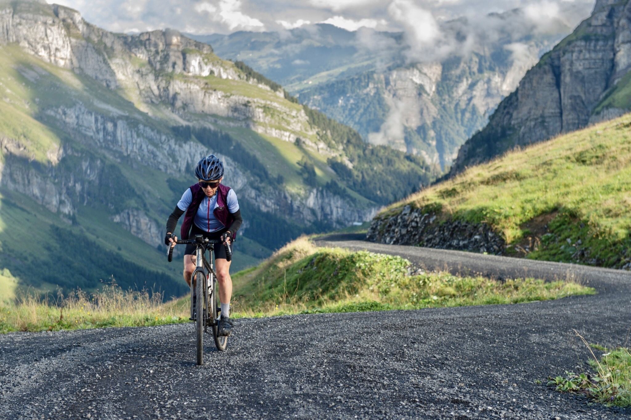
A summer of backdoor adventures in the Voralpen

Alpine Panorama Trail in Switzerland – Keep your eyes on the mountains
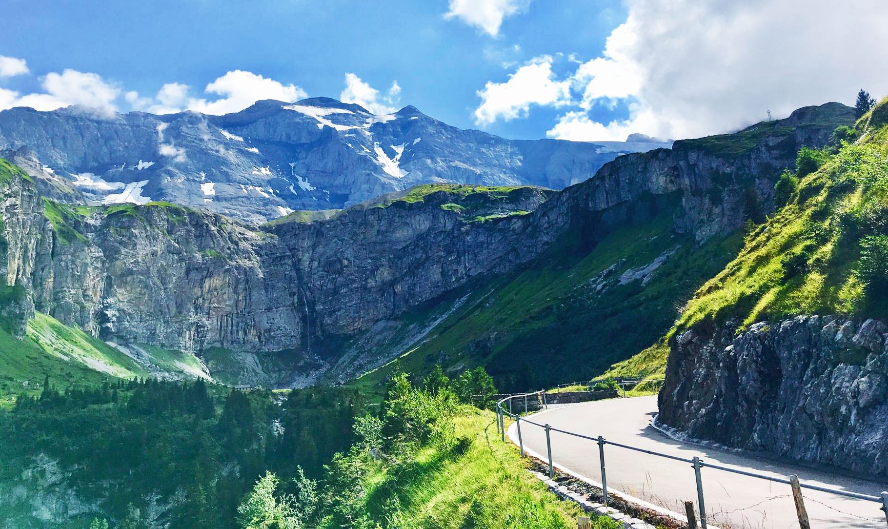
Alpine Panorama Route — 8 stages through the foothills of the Alps

Every cycling trip is a little holiday – bike to work Challenge 2026
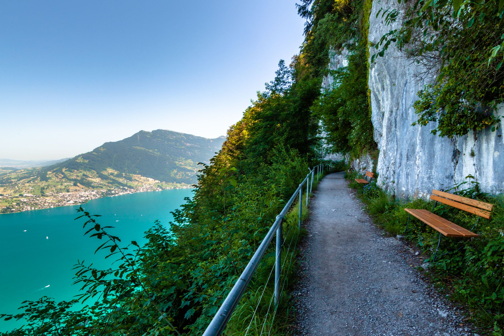
Utterly refreshing – 9 watery hikes in Nidwalden

On the Tell Trail over the Big 6 of Central Switzerland
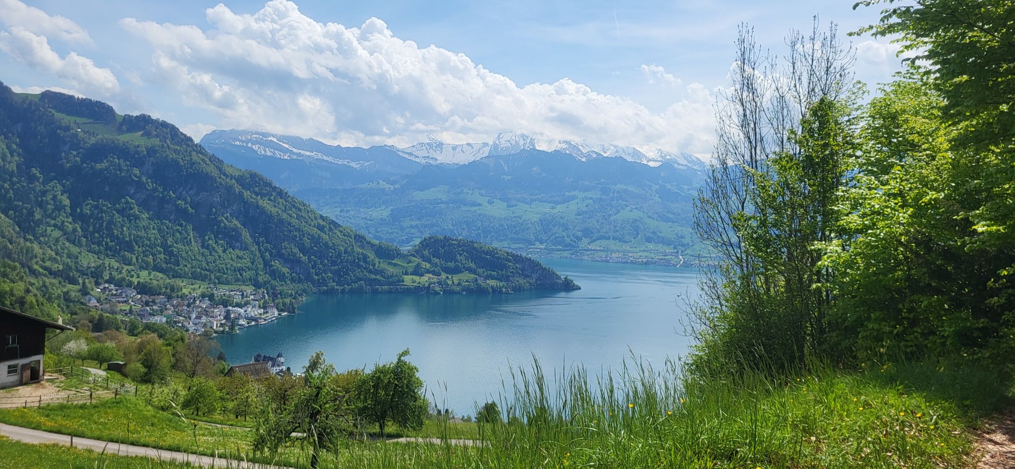
Waldstätterweg – On Route 98 around Lake Lucerne
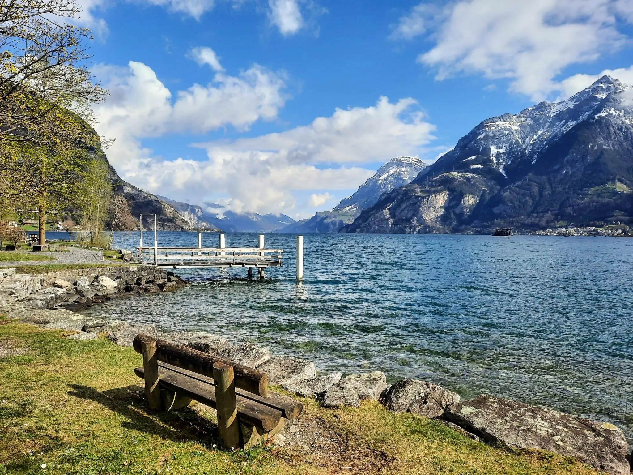
Hike amid the history of the Swiss Confederation – Swiss Path
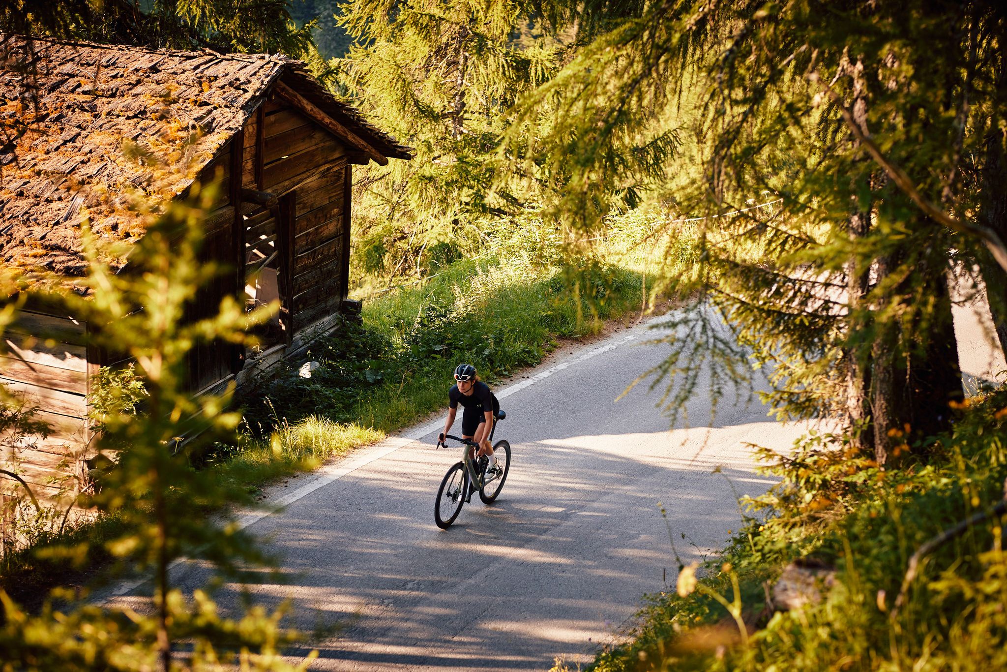
100% women – gravel for female adventurers
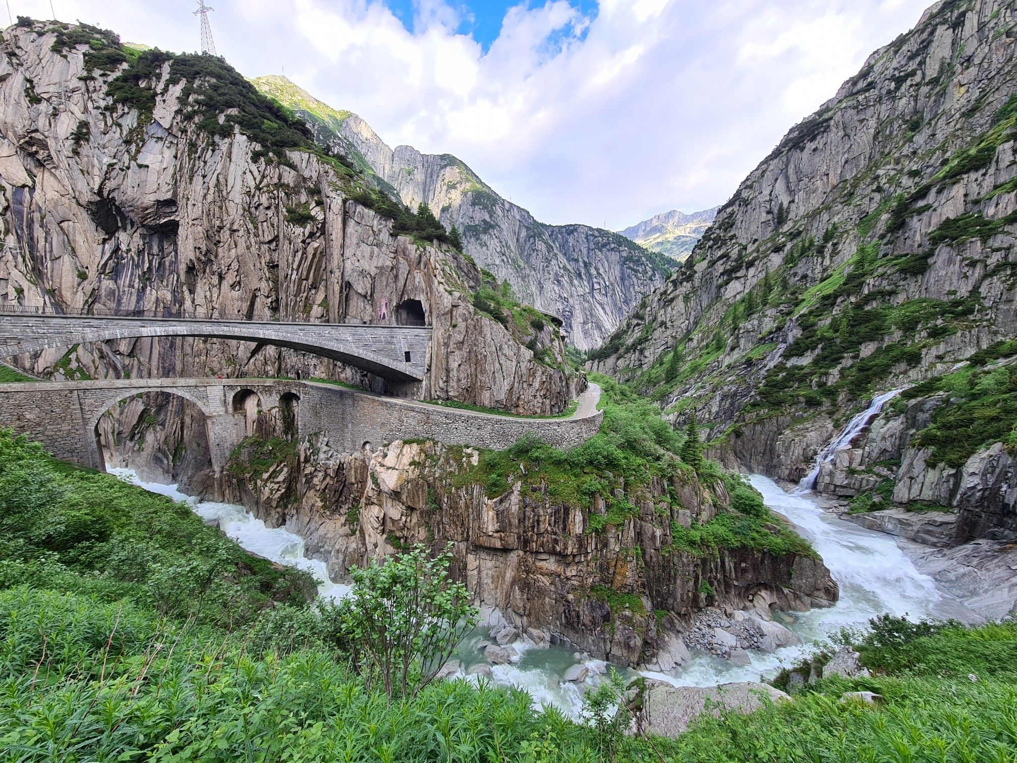
Crossing the Alps to Switzerland – North-South Route
Other adventures around Lake Lucerne


Tips from the Community

beautiful landscape here, simply unique
1
0
beautiful landscape here, simply unique
1
0
very pretty here, very pretty
0
0
pretty here, very pretty
0
0
pretty here, very pretty
0
1

A beautiful and exciting trail with easy scrambling, guaranteed deep views, and a fantastic panorama in good weather. Always a great start to the season!
0
0

Exciting climb, easily manageable.
0
0
Frequently Asked Questions
How many mountaineering routes are available around Lake Lucerne?
There are over 100 mountaineering routes around Lake Lucerne listed on komoot, offering a wide range of experiences. The majority, about 83, are classified as difficult, with 24 moderate and a few easier options available.
Are there easy mountaineering routes for beginners in Lake Lucerne?
While most mountaineering routes around Lake Lucerne are challenging, there are a few options suitable for beginners. These routes typically feature less extreme elevation gains and more stable terrain, allowing newcomers to experience the alpine environment safely. Always check the route details for specific difficulty ratings.
What are some challenging mountaineering routes around Lake Lucerne?
For experienced mountaineers seeking a challenge, the Lake Lucerne region offers numerous demanding routes. One such option is the Matthorn – Ober Steigli Railway Crossing loop from Alpnachstad (Pilatus-Bahn), a difficult 7.9-mile (12.7 km) trail with significant elevation gain. Another is the Stockflue Climbing Route – Hochflue Summit loop from Brunnen, which includes climbing sections and offers expansive views.
Are there any circular mountaineering routes near Lake Lucerne?
Yes, many mountaineering routes around Lake Lucerne are designed as loops, allowing you to start and end in the same location. A popular choice is the Vitznauerstock/Gersauerstock loop from Vitznau, which covers 6.4 miles (10.2 km) through alpine meadows and rocky ridges. Another option is the Rigi Kulm loop from Küssnacht am Rigi, a longer 11.2-mile (18.1 km) route.
What kind of attractions can I see along the mountaineering routes?
The Lake Lucerne region is rich in natural beauty and points of interest. Along your mountaineering routes, you might encounter stunning viewpoints like the View of Lake Lucerne, or natural wonders such as the Risleten Waterfall. The region also features historical elements like the Lucerne Lake Bridge.
What is the best time of year for mountaineering around Lake Lucerne?
The prime season for mountaineering around Lake Lucerne is typically from late spring (May/June) through early autumn (September/October). During these months, the weather is generally more stable, trails are clear of snow at lower to mid-altitudes, and alpine flora is in bloom. Always check local weather forecasts and trail conditions before heading out.
What are the winter mountaineering conditions like around Lake Lucerne?
Winter mountaineering around Lake Lucerne can be challenging and requires specialized equipment and experience. Many higher-altitude routes become snow-covered and may be prone to avalanches. Lower-lying trails might still be accessible, but conditions can change rapidly. It's crucial to consult local alpine guides and avalanche reports if planning winter ascents.
Can I find places to eat or drink near the mountaineering trails?
Yes, the Lake Lucerne region is well-equipped with amenities. Many trailheads are near villages or mountain stations where you can find restaurants and cafes. For example, you might find a spot like the Seeburg Beach Bar near some lakeside routes, or traditional mountain huts (Berghäuser) on higher trails, offering refreshments and meals.
How long do mountaineering routes around Lake Lucerne typically take?
The duration of mountaineering routes around Lake Lucerne varies significantly based on distance, elevation gain, and your fitness level. For instance, the Bützi Northwest Descent (T5) – Rigi Stockflue Via Ferrata loop from Brunnen is a shorter, difficult route that takes around 3 hours 8 minutes, while longer routes can extend to 6-7 hours or more.
Is public transport available to reach mountaineering trailheads?
Yes, Switzerland has an excellent public transport network, and many mountaineering trailheads around Lake Lucerne are accessible by train, bus, or even boat. Major starting points like Alpnachstad, Brunnen, and Vitznau are well-connected, making it convenient to reach your chosen route without a car. Always check specific timetables for your chosen trailhead.
What do other mountaineers say about the routes around Lake Lucerne?
The mountaineering routes around Lake Lucerne are highly regarded by the komoot community, boasting an average rating of 4.9 out of 5 stars from over 140 reviews. Mountaineers frequently praise the dramatic alpine scenery, the well-maintained trails, and the diverse challenges offered by the region's prominent peaks and varied terrain.
Are there any family-friendly mountaineering options?
While many routes are challenging, some sections or shorter, less steep trails can be suitable for families with older children who have some hiking experience. Look for routes with moderate difficulty and shorter durations, and always ensure the entire family is comfortable with the terrain and elevation changes. Consider routes that offer scenic viewpoints or attractions as a reward.
Where can I find parking for mountaineering trailheads?
Parking is generally available at or near popular mountaineering trailheads around Lake Lucerne, especially in larger towns like Alpnachstad, Brunnen, Küssnacht am Rigi, and Vitznau. These often include designated parking lots, sometimes for a fee. It's advisable to arrive early, especially during peak season, as spaces can fill up quickly. Always check local signage for parking regulations.
Most popular routes around Lake Lucerne
Most popular attractions around Lake Lucerne

Get inspired with the komoot mobile app


Explore more
Browse the best Mountain Hikes & Routes in other regions.
