The best road cycling routes around Lake Sils
4.2
(30)
2,566
riders
20
rides
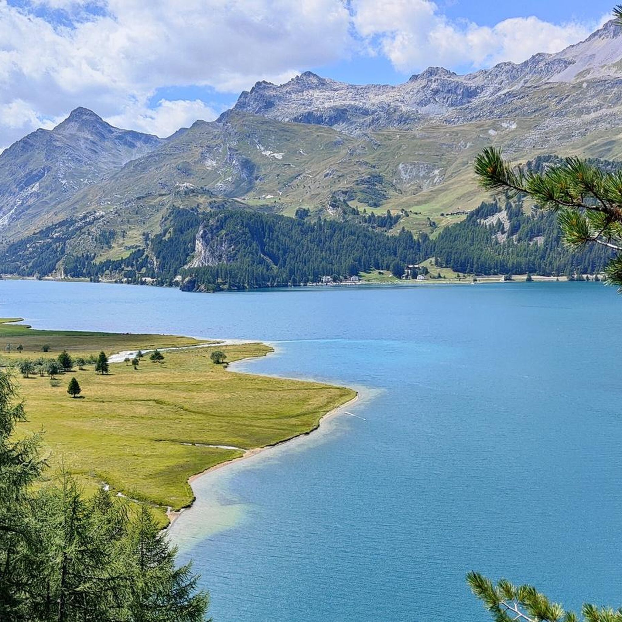
Road cycling around Lake Sils offers routes through the Upper Engadin valley, characterized by its high-alpine landscape and the clear waters of Lake Sils. The region features a mix of gentle lakeside paths and more challenging ascents towards mountain passes. Road cyclists can expect varied terrain, including stretches along the lake shore and climbs through forested areas. The area provides a diverse environment for road cycling, from flat sections to significant elevation gains.
Best road cycling routes around Lake Sils
- The most popular road cycling route is Lake Silvaplana – Silvaplana Market Square loop from Sils im Engadin, an easy 6.5 miles (10.5 km) trail that takes 25 minutes to complete, offering views of Lake Silvaplana.
- Another top favourite among local road cyclists is Maloja Pass – Maloja Pass Hairpin Bends loop from Passo della Maloja - Malojapass 1815 m, a moderate 8.0 miles (12.9 km) path. This route features the distinctive hairpin bends of the Maloja Pass.
- Local road cyclists also love the Maloja Pass – Maloja Pass Road loop from Passo della Maloja - Malojapass 1815 m, a 10.1 miles (16.2 km) trail leading through the Maloja Pass area, often completed in about 56 minutes.
- Road cycling around Lake Sils is defined by high-alpine valleys, clear lakes, and mountain pass ascents. The network offers options for different ability levels, from easy lakeside loops to difficult climbs.
- The routes in Lake Sils are highly rated by the komoot community with an average score of 4.7 stars from over 18 reviews. More than 2,000 road cyclists have used komoot to explore Lake Sils's varied terrain.
Last updated: October 8, 2026
4.8
(17)
1,111
riders
76.7km
03:32
920m
920m
Hard road ride. Very good fitness required. Mostly well-paved surfaces and easy to ride.
9
riders
Moderate road ride. Good fitness required. Mostly well-paved surfaces and easy to ride.

9
riders
16.1km
00:57
400m
400m
Moderate road ride. Good fitness required. Mostly well-paved surfaces and easy to ride.
4.0
(1)
7
riders
Easy road ride. Great for any fitness level. Mostly well-paved surfaces and easy to ride.
4.2
(5)
687
riders
40.4km
01:44
330m
330m
Moderate road ride. Good fitness required. Mostly well-paved surfaces and easy to ride.
Get access to more routes and recommendations from other explorers.
Already have an account?
Our route recommendations are based on thousands of hikes, rides, and runs completed by other people on komoot.
Start today with a free account
Your next adventure awaits.
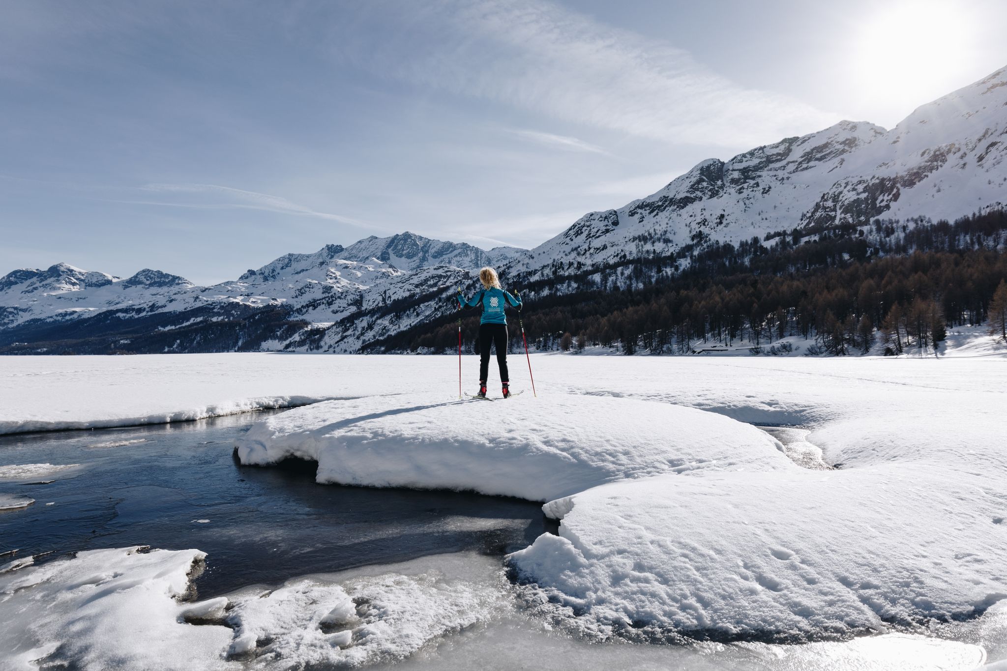
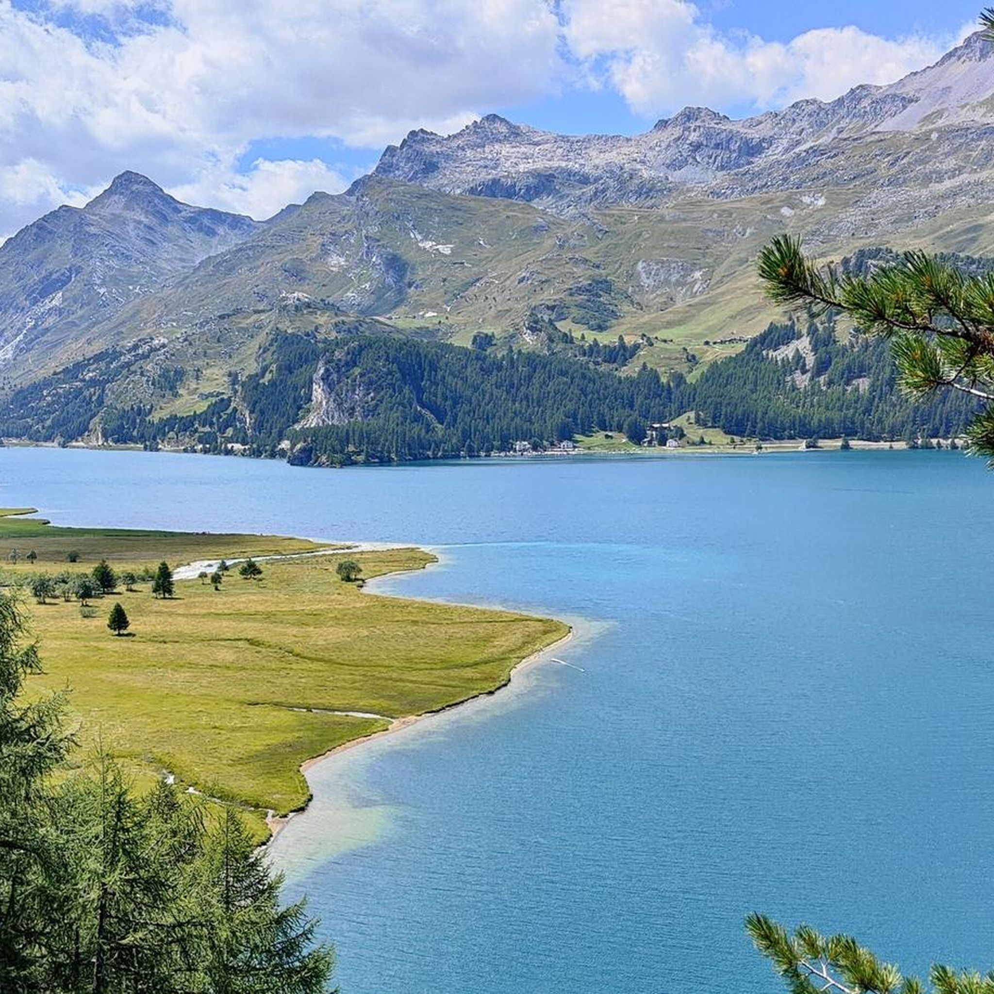
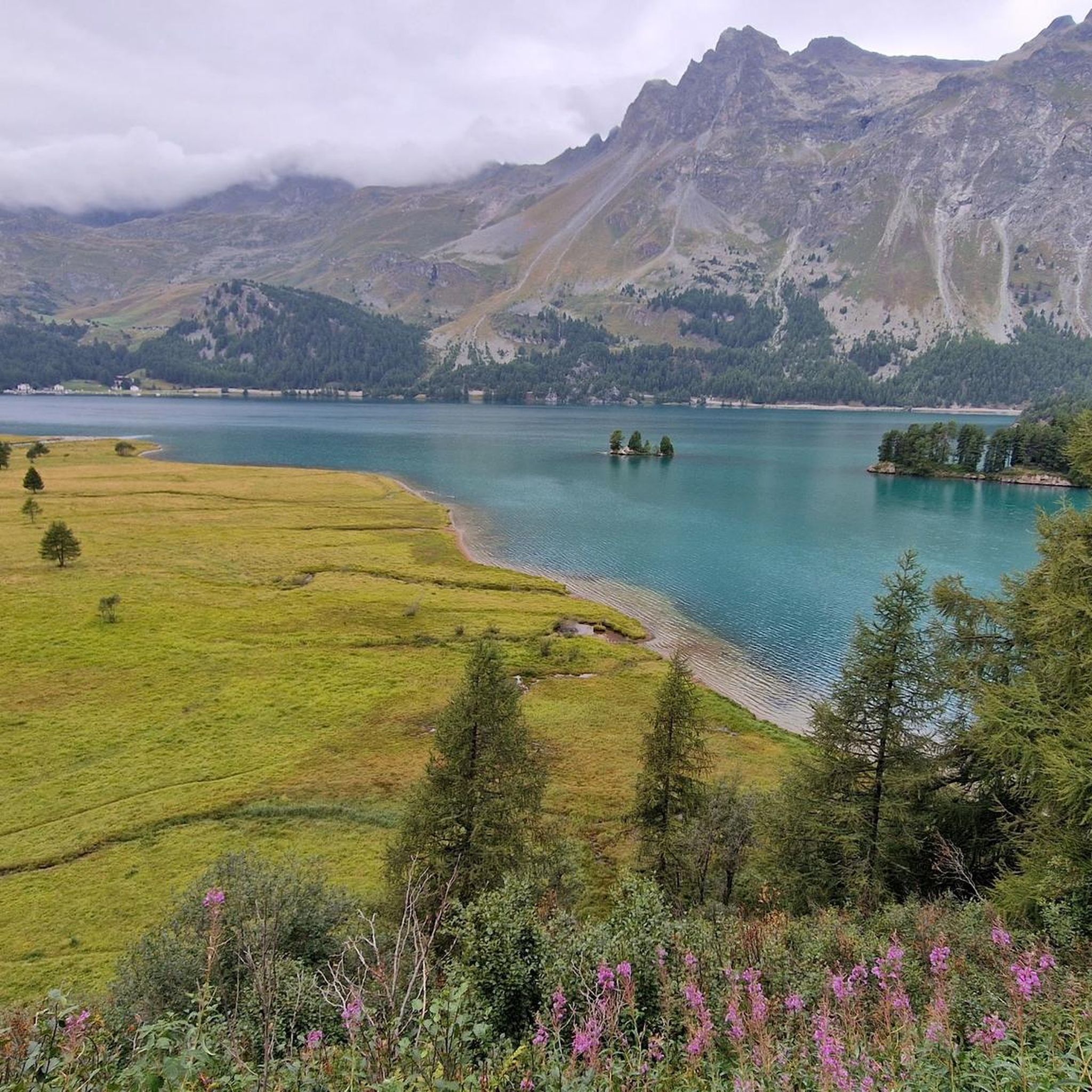
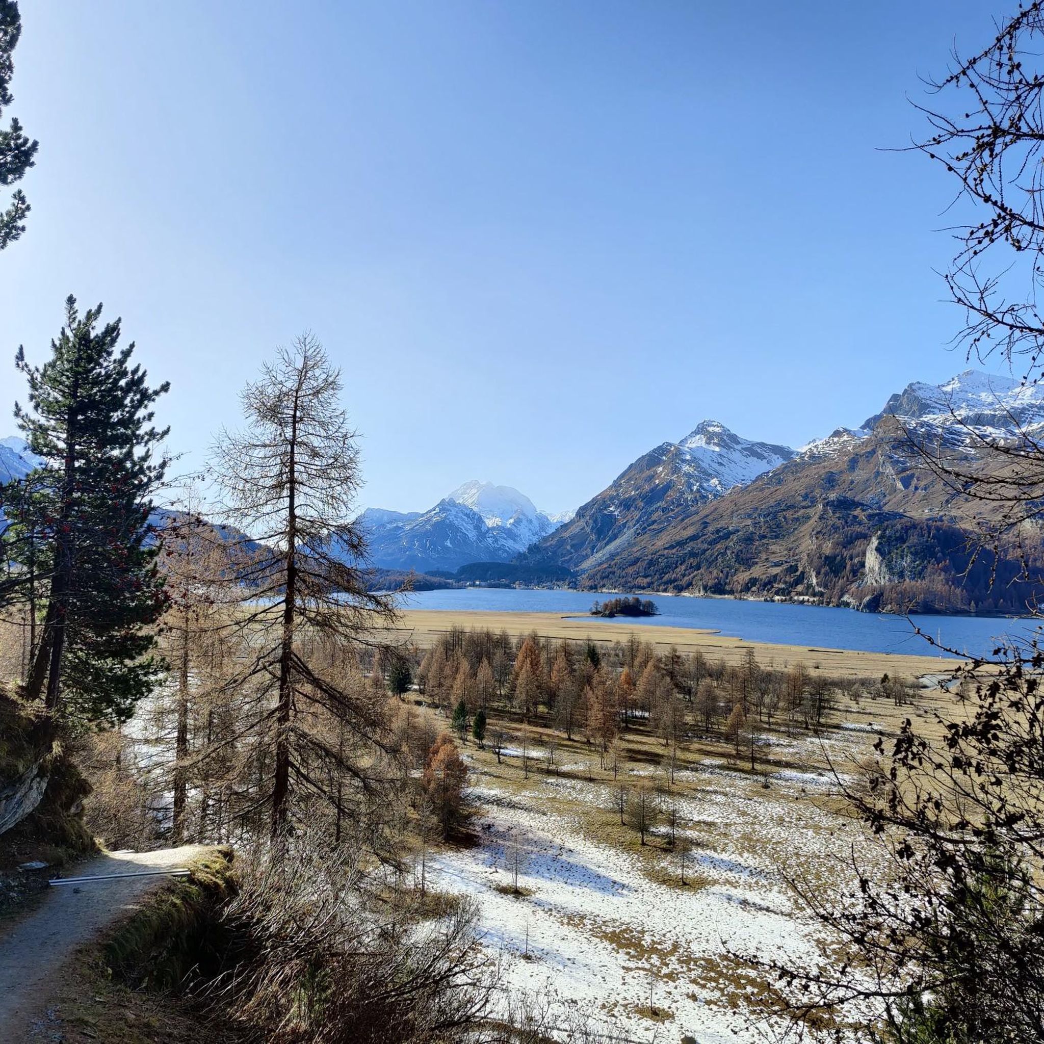


Other adventures around Lake Sils

Tips from the Community

Morteratsch glacier reached its greatest extent in 1857 AD (after the Little Ice Age 13th/14th century - 19th century) up to 100m from the RhB stop, since then a constant retreat. However, as a tree find from 2018 (C4 + Dendrochronology) of a 10400 year old larch shows, that the glacier after the last ice age, (Pleistocene 20000-14000) at the beginning of the Holocene approx. 10000 years ago, the glacier retreated even further than today. Minimum was around 7000 years ago. Then the glacier grew again until max. 1857. The beginning of measurements was from 1915, since then it has continuously retreated. (around 20000 years ago it had connection to the Bernina and Inn glaciers, around 14000 years ago it reached Pontresina and in 1857 almost to the Rhb Morteratsch stop.
0
0

Simply beautiful! Turquoise blue water and a gorgeous mountain panorama. An absolute MUST!
1
0

From Morteratsch and from Montebello, the view towards the Bernina massif is excellent.
0
0
Both from the Morteratsch valley and from Montebello, you can enjoy a magnificent view of glaciers and the Bernina massif.
0
0

The story of St. Moritz begins in 1864 The story of St. Moritz, as we know it today, begins in 1864, when hotelier Johannes Badrutt made a bet with his guests from Great Britain. He promised that not only the summer, but also the St. Moritz winter would be so pleasant that on sunny days one could enjoy the sun on the terrace without a jacket. Should his promise prove false, the hotelier would pay for their travel and winter stay. Wrapped head to toe in furs, the group of men crossed the Julier Pass the following December. Upon arriving in St. Moritz, the sky was clear, the sun warm, and Badrutt stood before them to greet them without a jacket and with his shirtsleeves rolled up. Winter tourism was born. More: Pioneer History | St. Moritz, Switzerland (stmoritz.com) Text/Source: ENGADIN ST. MORITZ TOURISMUS AG Via Maistra 1, CH-7500 St. Moritz, www.stmoritz.com https://www.engadintourismus.ch/fileadmin/user_upload/Fakten_ueber_St._Moritz_DE.pdf
15
0
Morteratsch Glacier Trail 16 information points provide insights into the glacier's retreat and the mysterious life in its foreland. Where else can you admire, touch, and even walk on eternal ice after such a short hike? Just under 50 minutes from Morteratsch train station, you'll reach your destination: the milky glacial lake and the gigantic ice tongue. A literary treat awaits you on the LiteraTOUR. The captivating audio texts can be accessed individually via QR code at the 16 information points along the Morteratsch Glacier Trail. The stories include anecdotes, poems, and tour reports from various eras. Text / Source: Engadin Tourism AG, Via Maistra 1, 7500 St. Moritz https://www.engadin.ch/de/aktivitaeten/gletscherweg-morteratsch/
14
0
Morteratsch Glacier The Morteratsch Glacier is a historically significant glacier that has been systematically monitored since 1878. Over the last 150 years, the glacier has retreated by almost three kilometers, and its ice volume has decreased by two-thirds. The Bernina Railway, which began operating in 1908, was then located just a stone's throw from the glacier's terminus. Since then, the glacier has retreated considerably, and the movement of its surroundings is no longer visible. Text / Source: wikipedia.org https://de.wikipedia.org/wiki/Morteratschgletscher
14
0

If you take some time, you can read about the history of the former church at the old building.
0
0
Frequently Asked Questions
How many road cycling routes are available around Lake Sils?
There are over 20 road cycling routes around Lake Sils listed on komoot, offering a variety of options for different skill levels. These include 8 easy routes, 12 moderate routes, and 2 difficult routes.
Are there road cycling routes suitable for beginners or families around Lake Sils?
Yes, Lake Sils offers several easy routes perfect for beginners or families. An excellent option is the Lake Silvaplana – Silvaplana Market Square loop from Sils im Engadin, which is an easy 6.5-mile (10.5 km) trail with minimal elevation gain, providing scenic views of Lake Silvaplana.
What kind of challenges can advanced road cyclists expect in the Lake Sils region?
Advanced road cyclists will find challenging ascents towards mountain passes. Routes like the View of the Bernina Pass – Bernina Pass loop from Passo della Maloja - Malojapass 1815 m offer significant elevation gains over longer distances, testing endurance and climbing skills in a high-alpine environment.
What are the typical distances and elevations for road cycling routes in Lake Sils?
Routes vary significantly. Easy routes, such as the Lake Silvaplana – Silvaplana Market Square loop, are around 6.5 miles (10.5 km) with minimal elevation. More challenging routes, like the View of the Bernina Pass loop, can extend over 47 miles (76 km) with nearly 3,000 feet (900 m) of elevation gain.
When is the best time of year for road cycling around Lake Sils?
The best time for road cycling around Lake Sils is typically from late spring to early autumn (May to October). During these months, the weather is generally milder, and mountain passes are clear of snow, offering optimal conditions for cycling. Always check local weather forecasts before heading out.
Can I go road cycling around Lake Sils during winter?
Road cycling in winter around Lake Sils can be challenging due to snow and ice, especially on higher passes. Many routes may be inaccessible or require specialized winter cycling equipment. It's advisable to check local road conditions and weather forecasts if planning a winter ride.
Are there any notable viewpoints or places to stop for refreshments along the routes?
The region offers numerous scenic spots. While specific cafes are not listed for every route, the area around Lake Sils and Lake Silvaplana has villages like Sils im Engadin and Silvaplana where you can find refreshments. Many routes also offer stunning views of the lakes and surrounding high-alpine landscape, perfect for a break.
What do other road cyclists enjoy most about the Lake Sils region?
The road cycling routes around Lake Sils are highly rated by the komoot community, with an average score of 4.7 stars. Reviewers often praise the stunning high-alpine valleys, the clear waters of the lakes, and the varied terrain that includes both gentle lakeside paths and challenging mountain pass ascents.
What kind of natural attractions or landmarks can I see while cycling around Lake Sils?
While cycling, you can enjoy the beautiful Silsersee Lakeside Trail and the Lake Sils South Shore Trail. You might also pass by the Nietzsche Memorial Plaque on the Chastè Peninsula, offering a cultural point of interest amidst the natural beauty.
Are the road cycling routes around Lake Sils primarily loops or point-to-point?
Many of the popular road cycling routes around Lake Sils are designed as loops, allowing you to start and finish at the same location. Examples include the Maloja Pass – Maloja Pass Hairpin Bends loop and the Maloja Pass – Maloja Pass Road loop, both starting from Passo della Maloja.
Where can I find parking for road cycling routes near Lake Sils?
Parking is generally available in the main villages around Lake Sils, such as Sils im Engadin and Maloja. Many routes, like those starting from Passo della Maloja, have designated parking areas nearby. It's always a good idea to check specific starting points for parking availability before your ride.
Are there any less-known or 'hidden gem' road cycling routes in the Lake Sils area?
While the main routes are well-known for their beauty, exploring the smaller roads connecting the villages in the Upper Engadin valley can reveal quieter stretches. For instance, the Maloja Pass – Silvaplana Market Square loop from Maloja Pass offers a moderate challenge away from the most frequented paths, providing a different perspective of the region.
Most popular routes around Lake Sils
Most popular attractions around Lake Sils

Get inspired with the komoot mobile app


Explore more
Browse the best Road cycling routes in other regions.
