The best mountain hikes around Lac de Montsalvens
5.0
(2)
14
hikers
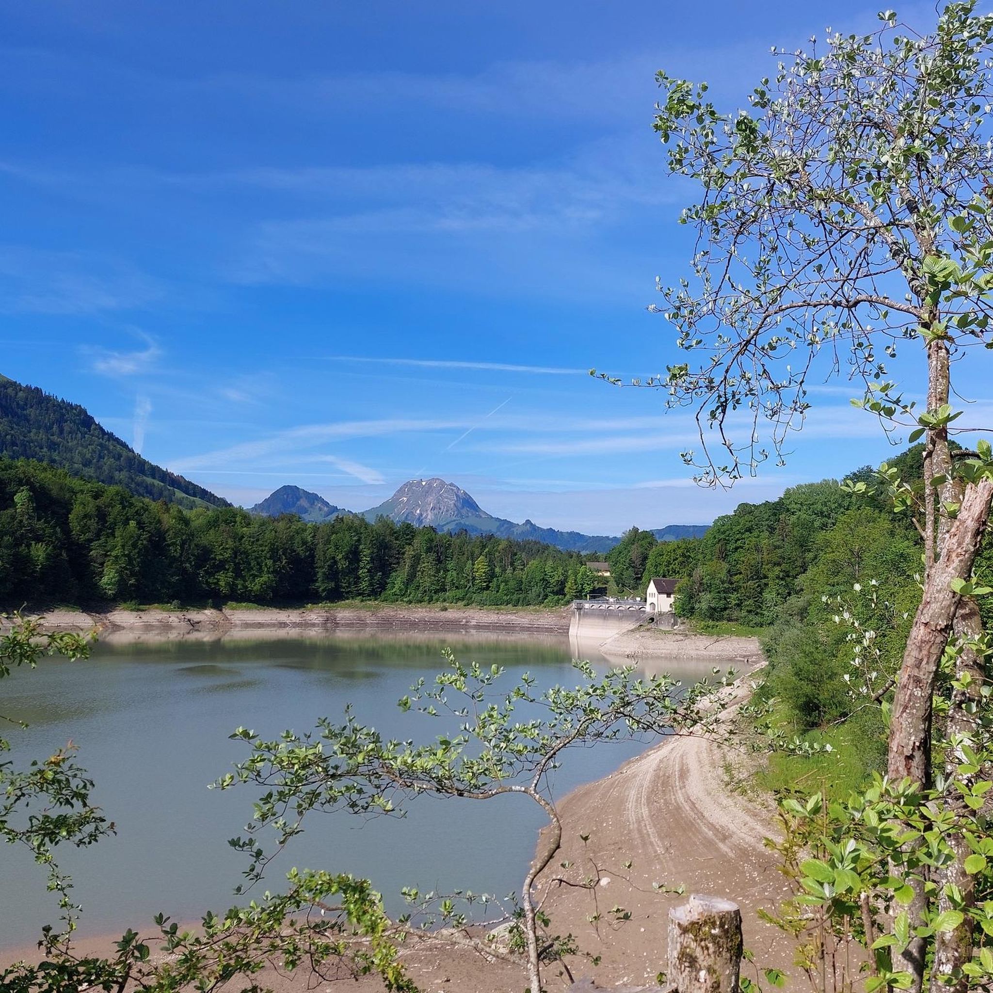
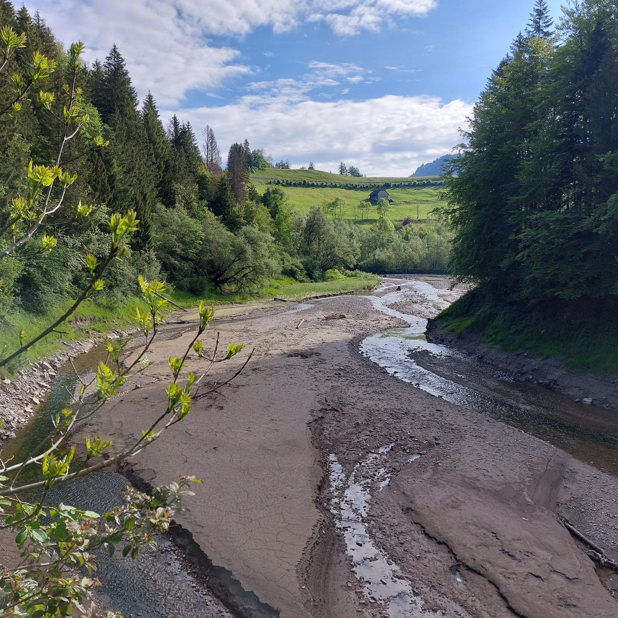
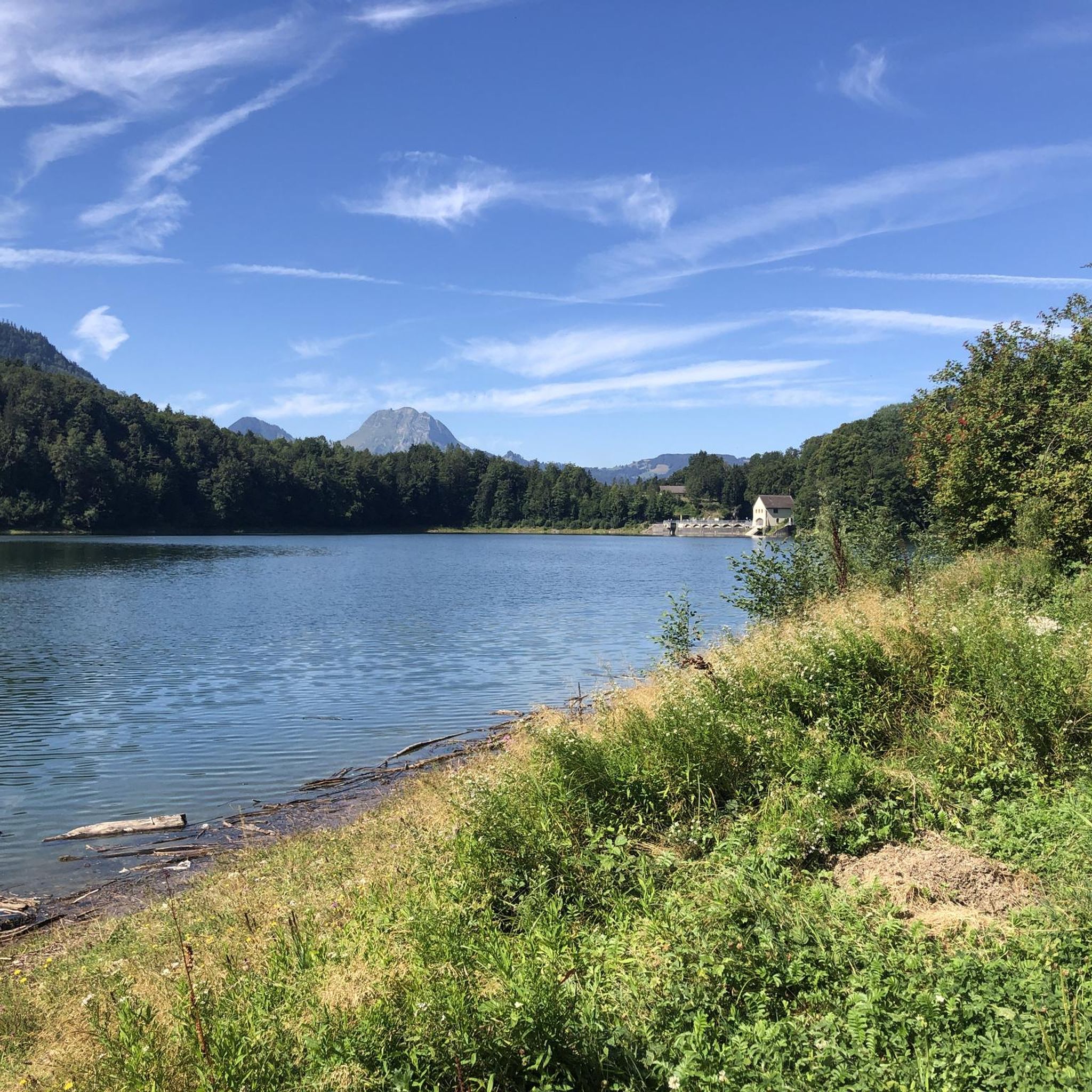
Mountaineering routes around Lac de Montsalvens traverse a landscape characterized by a man-made reservoir, dense forests, and rolling hills, set against the backdrop of the imposing Dents Vertes peaks. The region features the Jogne river and Motélon valley, offering varied terrain from marshlands to Alpine foothills. Significant ascents and descents are common, providing challenging mountain experiences.
Best mountaineering routes around Lac de Montsalvens
- The most popular mountaineering route is Via Ferrata Dent de Vounetse loop from Val-de-Charmey, a 1.8…
Last updated: October 9, 2026
5.0
(1)
8
hikers
9.54km
04:19
730m
730m
Hard mountaineering route. Good fitness required. Sure-footedness, sturdy shoes and alpine experience required.
2
hikers
7.21km
03:34
690m
690m
Hard mountaineering route. Good fitness required. Sure-footedness, sturdy shoes and alpine experience required.

5.0
(1)
4
hikers
12.4km
04:25
750m
750m
Moderate mountaineering route. Good fitness required. Easily-accessible paths. Suitable for all skill levels.
Our route recommendations are based on thousands of hikes, rides, and runs completed by other people on komoot.
Start today with a free account
Your next adventure awaits.
Popular around Lac de Montsalvens
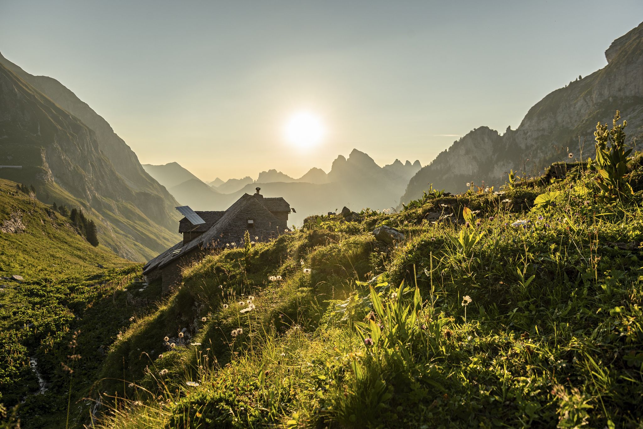
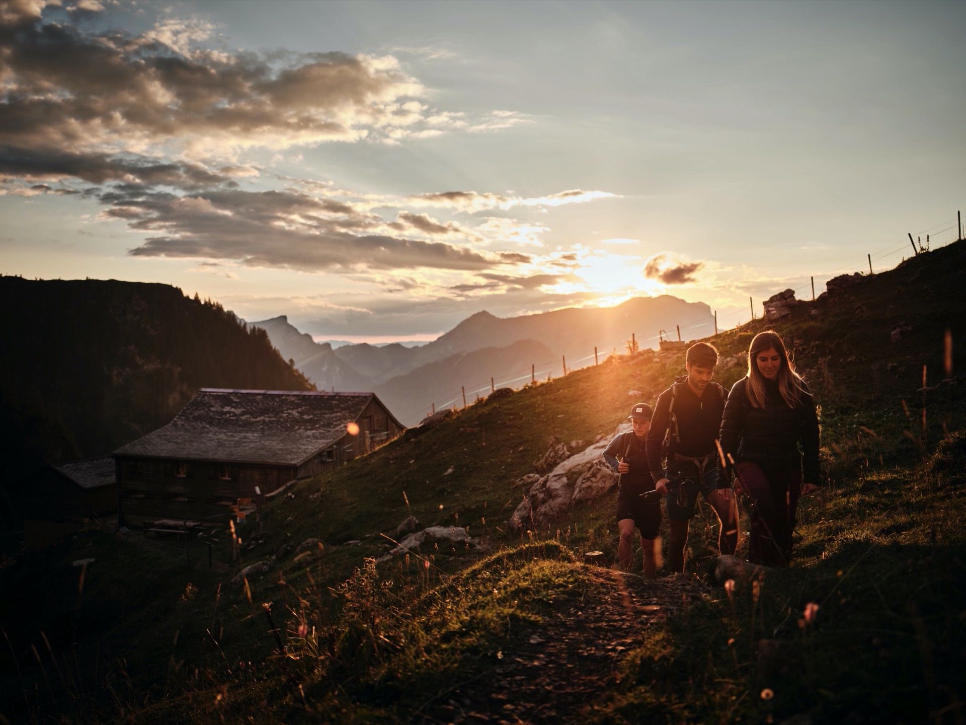
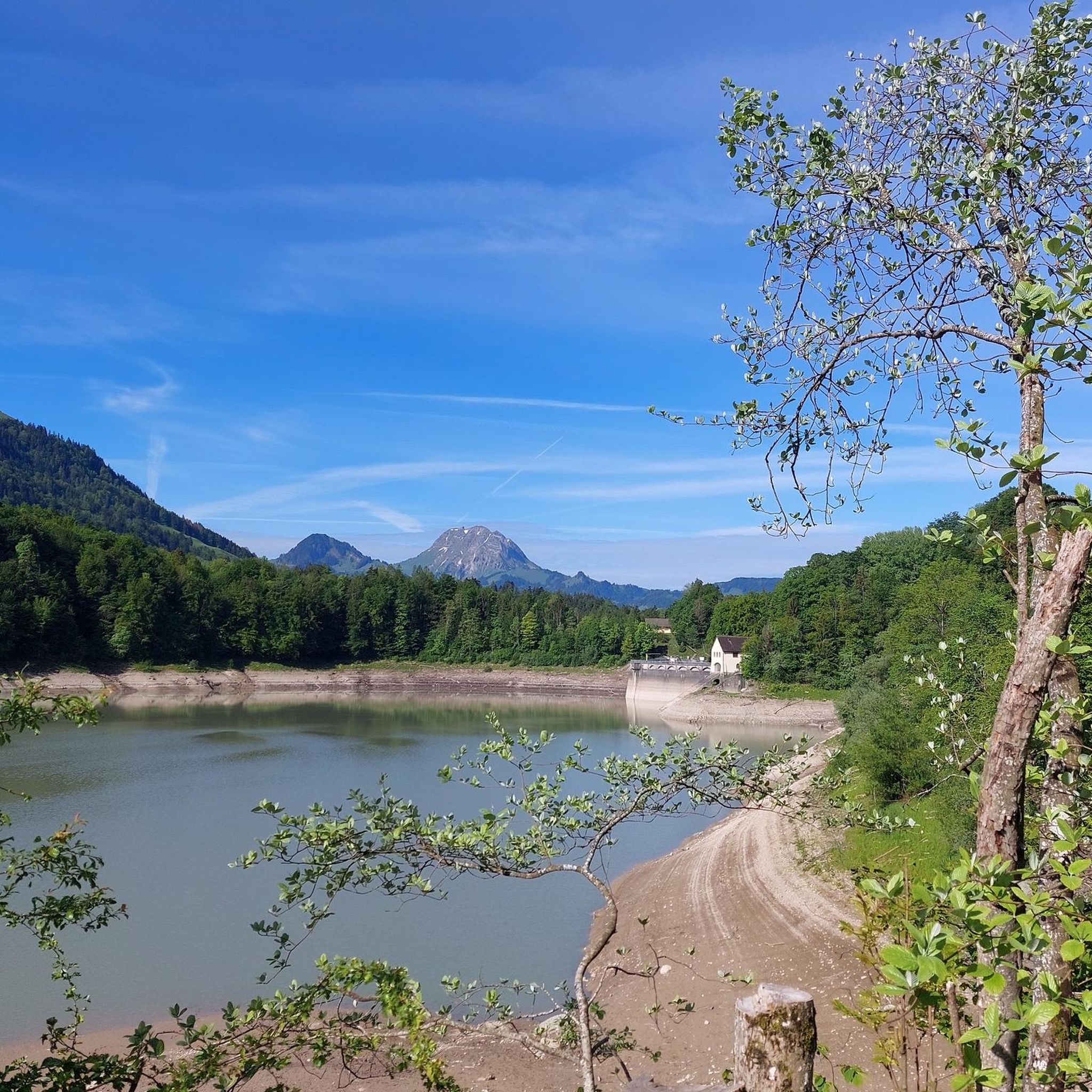
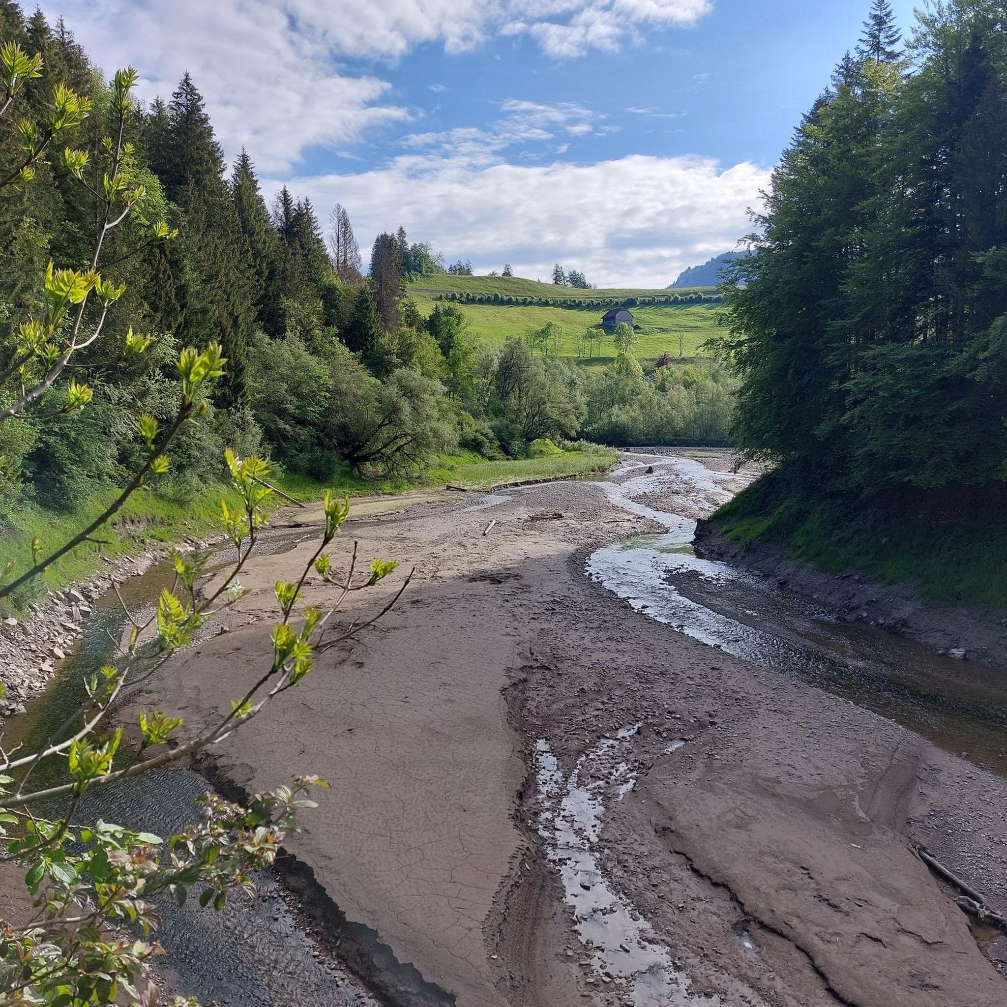
Other adventures around Lac de Montsalvens


Tips from the Community

Always accessible, read the board
0
0

Steep path to the chalet, but the view of the Gastlosen is worth it
0
0

allow time to walk up if you are coming from the Jaun Bergbahn
0
0

Between the Cheval Blanche and the Hochmatt, this beautiful ridge path with the best panorama leads into the Bulle plain and into the Alps.
0
0

The Soldier's Chalet is an idyllic place to stock up on supplies and enjoy the panoramas of the Gastlosen. The chalet is open between May 15 and November 1.
0
0
Magnificent waterfall a few hundred meters from the village of Jaun.
0
0
Breathtaking views of the valleys on either side of the path.
0
0

Breathtaking views of multiple Alpine peaks
0
0
Frequently Asked Questions
What kind of mountaineering experiences can I expect around Lac de Montsalvens?
Mountaineering routes around Lac de Montsalvens offer challenging experiences across varied terrain. You'll traverse dense forests, rolling hills, and areas with significant ascents and descents, all set against the backdrop of the imposing Dents Vertes peaks. The region is characterized by its man-made reservoir, the Jogne river, and the tranquil Motélon valley, providing a diverse natural environment for your adventures.
Are there any particularly challenging mountaineering routes in the area?
Yes, the region is known for its difficult routes. For instance, the Bounavaux Hut – Tête de l'Herbette loop from Gruyère Pays-d'Enhaut Regional Nature Park is a difficult 9.6 km path with substantial elevation gain, leading through demanding mountainous terrain. Another challenging option is the Sattelspitzen – Chalet du Grat loop from Buvette des Sattels, covering 13.8 km with over 700 meters of ascent.
What are some notable landmarks or points of interest I might encounter on these routes?
The region is rich in both natural and historical landmarks. You'll find the Montsalvens dam, an important historical structure built in the early 20th century. Along some trails, you might also encounter a four-hundred-year-old chapel and one of the oldest chalets in the canton, both bordered by a stone wall listed by Pro Natura. The picturesque Lac de Montsalvens itself, a man-made reservoir, is a central feature, offering serene views.
Are there any circular mountaineering routes available?
Yes, several routes offer a circular experience. The Mountaineering loop from Schänis is a 9.7 km trail that takes you through varied mountain landscapes. Another option is the Via Ferrata Dent de Vounetse loop from Val-de-Charmey, a shorter 2.9 km difficult route that includes a via ferrata section.
What do other mountaineers say about the routes around Lac de Montsalvens?
The routes around Lac de Montsalvens are highly rated by the komoot community, with an average score of 4.8 stars from over 17 reviews. Mountaineers often praise the challenging nature of the trails and the stunning natural beauty of the reservoir, dense forests, and Alpine foothills.
Is it possible to go mountaineering in Lac de Montsalvens during winter?
Yes, the mountainous terrain around Lac de Montsalvens is suitable for winter activities. The region caters to ski mountaineering and snowshoeing, offering a different kind of challenge and beauty when covered in snow. Always check local conditions and avalanche warnings before heading out in winter.
What kind of elevation gains should I expect on these routes?
Mountaineering routes in this region often involve significant elevation gains. For example, the Bounavaux Hut – Tête de l'Herbette loop features over 1000 meters of ascent. Even shorter routes like the Sattelspitzen – Chalet du Soldat loop from Schänis include over 500 meters of climbing, indicating a consistently challenging profile.
Are there any options for less crowded mountaineering experiences?
While specific 'hidden gems' are not always advertised, exploring routes during off-peak seasons or on weekdays can often lead to a more solitary experience. The diverse network of trails means you can often find quieter paths away from the most popular spots, allowing you to immerse yourself in the natural surroundings of the Jogne river and Motélon valley.
What are the best times of year for mountaineering in this region?
The best time for mountaineering typically spans from late spring through early autumn, when trails are generally free of snow and weather conditions are more stable. However, the region also offers opportunities for ski mountaineering and snowshoeing in winter, providing year-round options for experienced adventurers depending on their preferred activity and conditions.
Are there any facilities like cafes or restaurants near the mountaineering routes?
After a day of mountaineering, you can find places to relax and refuel in nearby towns. The Bains de La Gruyère in Charmey, for instance, offers a relaxing retreat with warm thermal waters, and you'll find cafes and restaurants in the surrounding villages to enjoy local cuisine.
What should I wear for mountaineering around Lac de Montsalvens?
Given the significant ascents, descents, and varied terrain, it's essential to wear appropriate mountaineering gear. This includes sturdy hiking boots with good ankle support, layered clothing suitable for changing mountain weather, and protection from sun and rain. For routes involving via ferrata sections, specialized equipment like a via ferrata set, helmet, and harness is mandatory.
Most popular routes around Lac de Montsalvens

Get inspired with the komoot mobile app


Explore more
Browse the best Mountain Hikes & Routes in other regions.
