The best mountain hikes around Trübsee
4.9
(81)
976
hikers
23
hikes
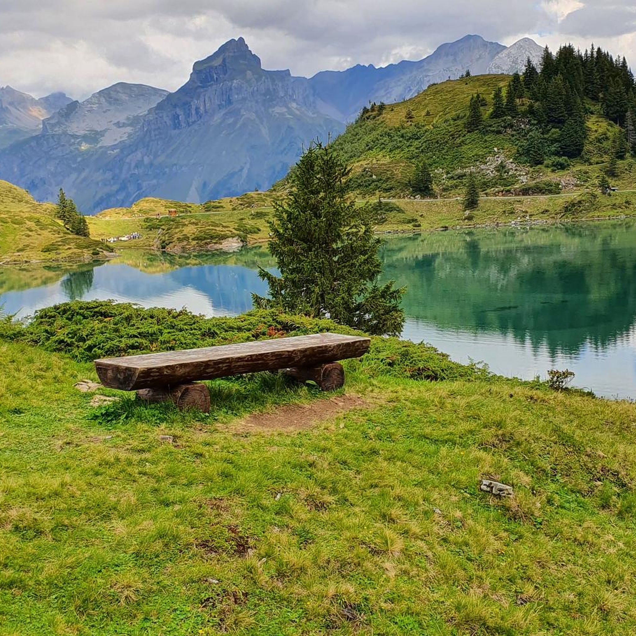
Mountaineering routes around Trübsee are set amidst the Swiss Alps, featuring a picturesque alpine lake at an elevation of approximately 1,764 to 1,796 meters. The region is characterized by majestic mountains like Mount Titlis and Jochstock, lush alpine meadows, and glacier-fed streams forming waterfalls. Prominent geological features throughout the area offer insights into the Alps' development. The terrain includes challenging alpine sections suitable for experienced mountaineers.
Best mountaineering routes around Trübsee
- The most popular mountaineering route is Berghaus Jochpass –…
Last updated: June 22, 2026
5.0
(3)
17
hikers
10.4km
05:51
810m
810m
Hard mountaineering route. Very good fitness required. Sure-footedness, sturdy shoes and alpine experience required.
4.8
(5)
42
hikers
4.28km
03:29
350m
360m
Hard mountaineering route. Good fitness required. Sure-footedness, sturdy shoes and alpine experience required.

Sign up for free
5.0
(1)
5
hikers
Hard mountaineering route. Very good fitness required. Mostly accessible paths. Sure-footedness required.
4.7
(3)
33
hikers
11.7km
05:42
980m
980m
Hard mountaineering route. Very good fitness required. Sure-footedness, sturdy shoes and alpine experience required.
5.0
(4)
9
hikers
18.2km
07:12
940m
940m
Hard mountaineering route. Very good fitness required. Sure-footedness, sturdy shoes and alpine experience required.
Get access to more routes and recommendations from other explorers.
Sign up for free
Already have an account?
Our route recommendations are based on thousands of hikes, rides, and runs completed by other people on komoot.
Start today with a free account
Your next adventure awaits.
Login or Signup
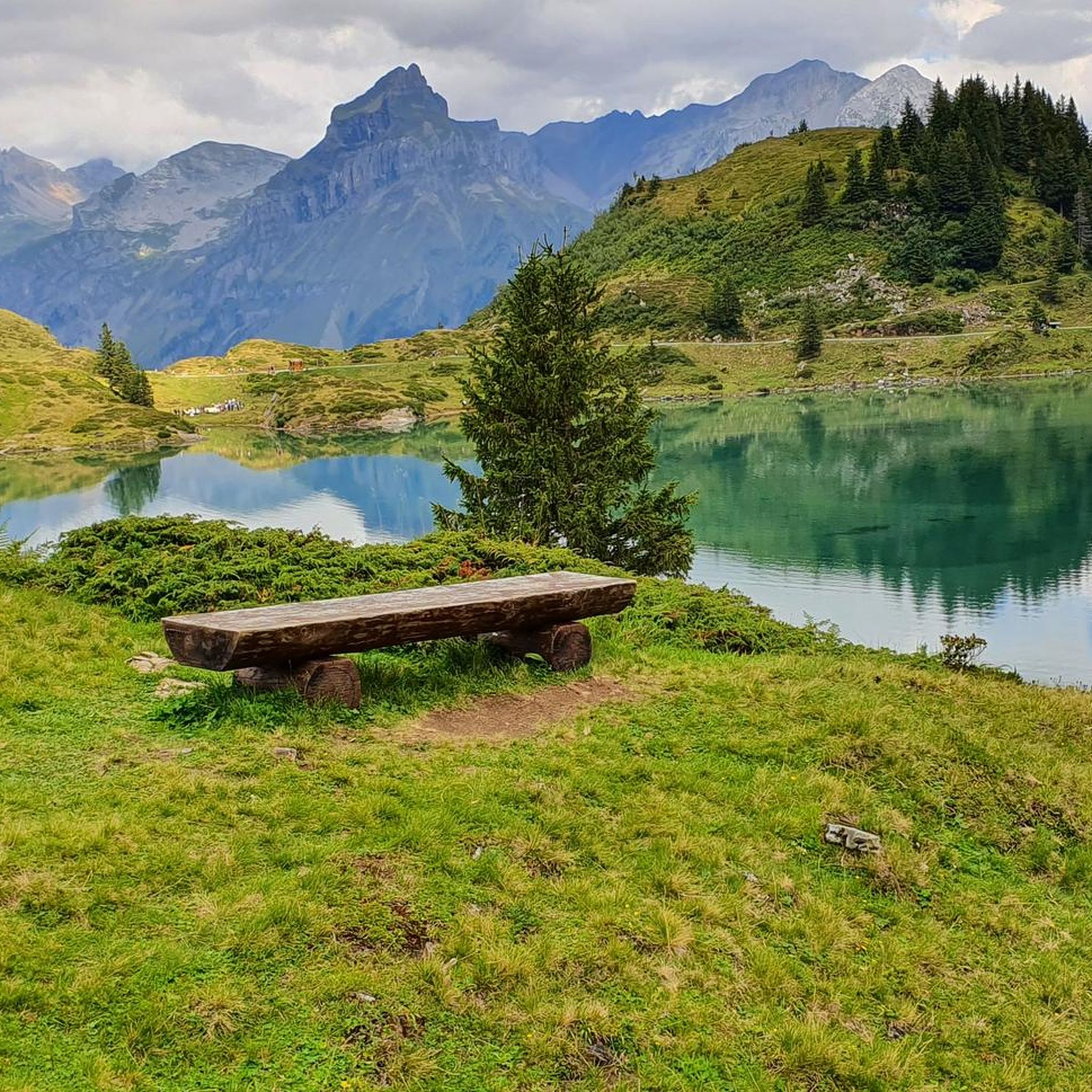
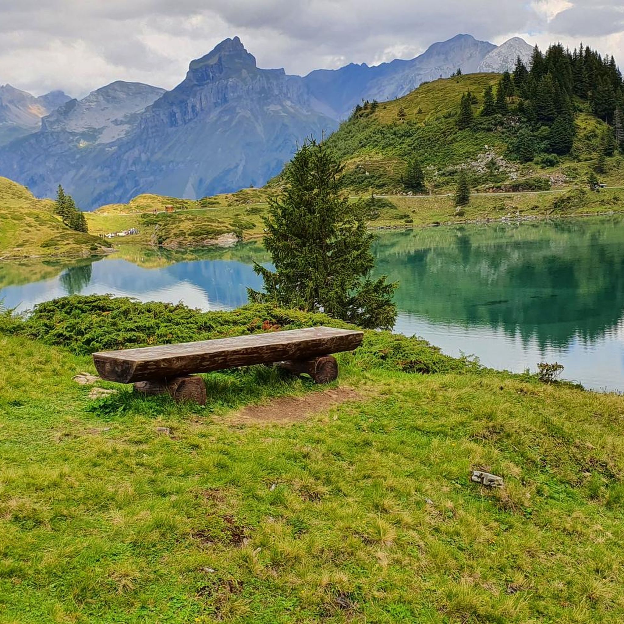
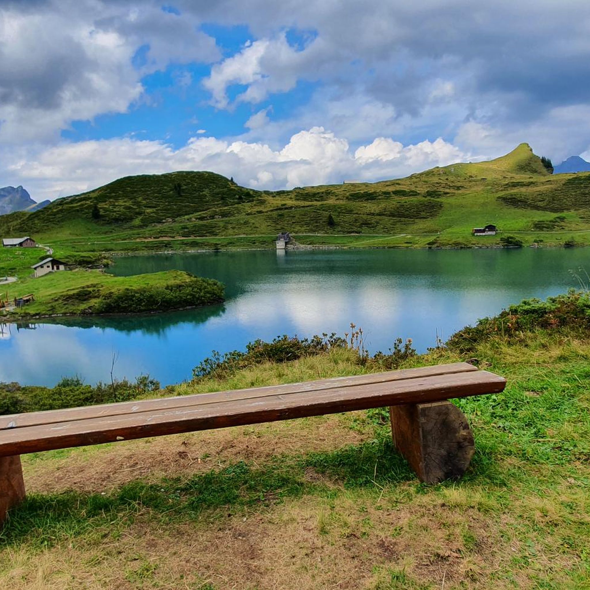
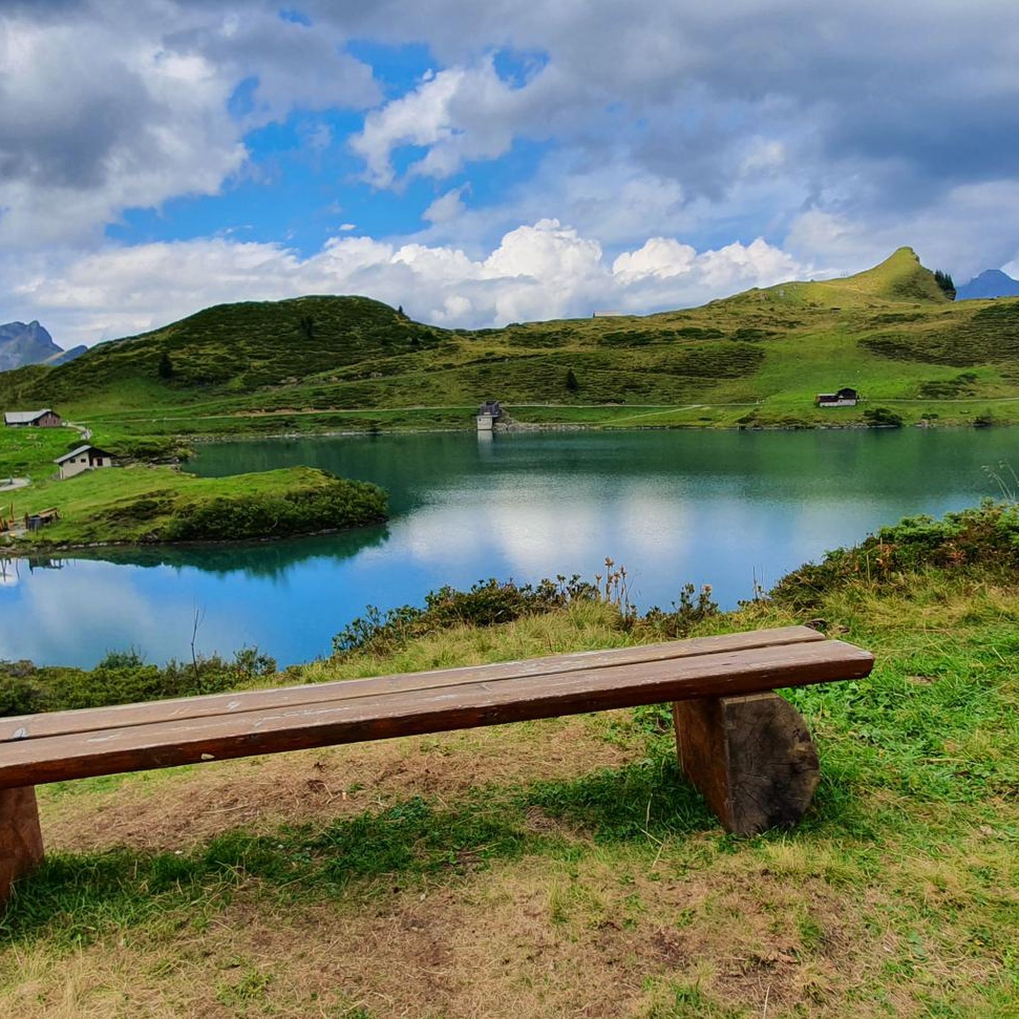
Tips from the Community

very pretty here, very pretty
1
0
Frequently Asked Questions
How many mountaineering routes are there in Trübsee?
Trübsee offers a selection of over 20 mountaineering routes, catering to various skill levels. The majority of these, 19 to be exact, are classified as difficult, providing significant challenges for experienced mountaineers. There are also 3 moderate routes and 1 easy option for those seeking a less strenuous experience.
What kind of natural features can I expect to see along the mountaineering routes?
Mountaineering routes around Trübsee are rich in natural beauty. You'll encounter the picturesque alpine lake Trübsee itself, majestic mountains like Mount Titlis and Jochstock, and lush alpine meadows. A notable feature is the Stäubi waterfall, fed by the Titlis glacier, which provides refreshing views. The area also showcases diverse geological formations, with some trails offering insights into the Alps' development.
Are there any family-friendly options for mountaineering or hiking near Trübsee?
While many mountaineering routes are challenging, the Trübsee area does offer family-friendly hiking options. The Trübsee Loop Trail, for instance, is an easy circular path around the lake, suitable for strollers and featuring picnic areas with free wood for barbecues, and various play stations for children. Schmuggli's Adventure Playground is also a great spot for kids.
Are there any circular mountaineering routes in Trübsee?
Yes, several mountaineering routes in Trübsee are designed as loops. For a challenging high-alpine experience, consider the Berghaus Jochpass – Jochpass Mountain Station loop from Urner Alps, which is 2.7 miles (4.3 km) long. Another extensive alpine trek is the Jochpass Mountain Station – Berghaus Jochpass loop from Engelberg, spanning 11.3 miles (18.2 km).
What do other mountaineers enjoy most about the routes in Trübsee?
The komoot community highly rates the mountaineering routes in Trübsee, with an average score of 4.9 stars from over 80 reviews. Mountaineers often praise the stunning high-alpine views, the challenging terrain that offers a true alpine experience, and the diverse landscapes ranging from serene lakes to majestic peaks. The well-maintained trails and the sense of accomplishment after completing a difficult route are also frequently highlighted.
Are there routes that feature waterfalls?
Yes, the region is known for its glacier-fed streams and waterfalls. The Stäubi waterfall, formed by the Titlis glacier, is a prominent natural feature. You can explore routes that offer views of this waterfall, such as the View of the Engelberg Valley – Mountain Waterfalls loop from Engelberg, a moderate 15.5 km (9.6 miles) route.
What is the best time of year for mountaineering in Trübsee?
The best time for mountaineering in Trübsee is typically during the warmer months, from late spring to early autumn, when the alpine meadows are lush and trails are clear of snow. This allows for optimal conditions to enjoy the challenging hikes and stunning views. Always check local weather and trail conditions before heading out, as alpine weather can change rapidly.
Are there any options for advanced mountaineers seeking a challenge?
Absolutely. Trübsee is well-suited for advanced mountaineers. Routes like the Lake Härzli – Brunnistöckli Via Ferrata loop from Engelberg, a 14.2 miles (22.9 km) trail, lead through challenging alpine terrain and often include via ferrata sections, requiring good fitness and alpine experience. The majority of the 23 routes in the area are classified as difficult.
Is there public transport access to the Trübsee area?
Yes, Trübsee is well-connected by public transport. You can reach Engelberg by train, and from there, the Trübsee cable car station provides easy access up to the lake. This allows mountaineers to reach the starting points of many routes without needing a car.
What are some interesting landmarks or points of interest around Trübsee?
Beyond the natural beauty, Trübsee offers several points of interest. The Trübsee itself is a highlight. You can also visit the picturesque Mountain Chapel of the Assumption of Mary, located on the circular trail around the lake. For families, Schmuggli's Adventure Playground is a popular spot.
Are there places to eat or drink near the mountaineering trails?
Yes, the Trübsee area provides options for refreshments. The Trübsee cable car station features a restaurant with a large patio, perfect for a meal or drink before or after your mountaineering adventure. Additionally, there are several barbecue areas with free wood around the lake, ideal for a self-catered picnic.
Are there any moderate mountaineering routes for those looking for a less extreme challenge?
Yes, while many routes are difficult, Trübsee does offer moderate options. For example, the View of the Engelberg Valley – Mountain Waterfalls loop from Engelberg is a moderate 15.5 km (9.6 miles) route that provides stunning views without the extreme difficulty of some other trails. There are 3 moderate routes in total.
Most popular routes around Trübsee
Most popular attractions around Trübsee

Get inspired with the komoot mobile app


Explore more
Browse the best Mountain Hikes & Routes in other regions.
