The best walks and hikes around Culnagrew
4.7
(31)
109
hikers
11
hikes
Hiking around Culnagrew primarily features forest paths and trails with moderate elevation changes. The region offers a network of routes suitable for various fitness levels, often leading through wooded areas and past natural features like waterfalls. The terrain is characterized by established paths and forest tracks, providing opportunities for both shorter walks and longer excursions.
Best hiking trails around Culnagrew
- The most popular hiking route is Carntogher Way, a 6.1 miles (9.8 km) trail that takes 2 hours 51…
Last updated: May 13, 2026
4.4
(9)
20
hikers
9.82km
02:51
260m
260m
Embark on the Carntogher Way, a moderate hike spanning 6.1 miles (9.8 km) with an elevation gain of 868 feet (265 metres), typically completed in about 2 hours and 51…
4.4
(5)
18
hikers
6.11km
01:38
70m
70m
Explore the easy 3.8-mile Garvagh Forest loop, gaining 241 feet in 1 hour 38 minutes, featuring the unique Garvagh Pyramid.

Sign up for free
5.0
(1)
19
hikers
5.43km
01:27
60m
50m
Easy hike. Great for any fitness level. Easily-accessible paths. Suitable for all skill levels.
5.0
(9)
14
hikers
Easy hike. Great for any fitness level. Easily-accessible paths. Suitable for all skill levels.
5.0
(2)
8
hikers
5.77km
01:43
190m
190m
Easy hike. Great for any fitness level. Easily-accessible paths. Suitable for all skill levels.
Get access to more routes and recommendations from other explorers.
Sign up for free
Already have an account?
Our route recommendations are based on thousands of hikes, rides, and runs completed by other people on komoot.
Start today with a free account
Your next adventure awaits.
Login or Signup
Popular around Culnagrew

Tips from the Community

The climb up Carntogher is a bit of a leg burner, but the views at the top make it all worthwhile. From the peak, you'll be afforded views across Lough Foyle to Errigal and Muckish in Donegal, Sawel and the high Sperrins, and south-east to The Mournes and Slieve Gullion.
0
0
If you walk 100m slightly off the path south at this waypoint, you'll reach the beautiful little Altkeeran Waterfall. The waterfall is situated nearby to the spring Source Of The Grillagh and the peak Carntogher.
2
0

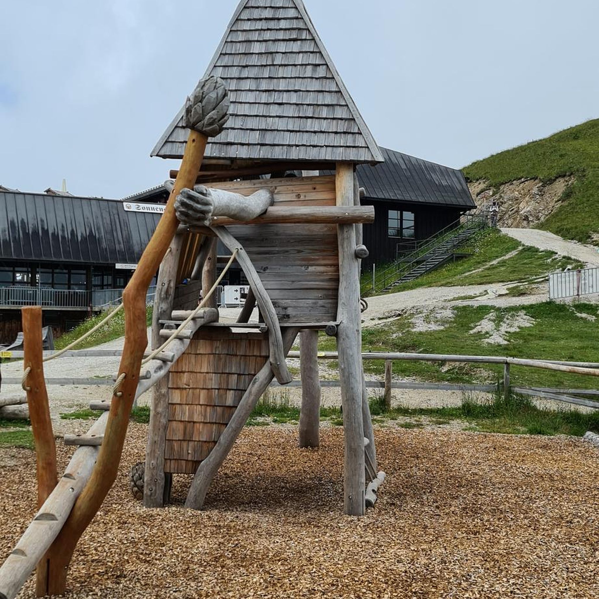
Here lies a beautiful weaved structure of a pair of deer, one of the many fun and fascinating discoveries of the Garvagh Forest.
4
0
Garvagh Forest is filled with mysterious features. This one is a wood-carving of a rabbit and is situated on the western side of the park. Discovering the others is quite an adventure and makes a great day out for families.
2
0
It's quite an unusual experience stumbling into a pyramid in the middle of an Irish forest! This pyramid was built in the 19th century as a burial chamber for Lord Garvagh and is a lovelly feature to the forest today.
2
0

Frequently Asked Questions
How many hiking trails are available around Culnagrew?
There are over 10 hiking trails around Culnagrew, offering a variety of experiences. Most of these, about 9, are considered easy, while 2 are moderate in difficulty.
What kind of terrain can I expect on hikes in Culnagrew?
Hiking around Culnagrew primarily features forest paths and trails. You can expect moderate elevation changes, leading through wooded areas and past natural features like waterfalls. The terrain consists of established paths and forest tracks.
Are there any hikes that feature waterfalls in Culnagrew?
Yes, the region offers trails that lead past natural features like waterfalls. For example, the Altkeeran Waterfall loop from Pollan Burn is an easy 5.7 km route that specifically highlights a waterfall.
What do other hikers enjoy most about the trails in Culnagrew?
The trails in Culnagrew are highly rated by the komoot community, with an average score of 4.7 stars from around 30 reviews. Hikers often praise the varied terrain, the tranquil forest experiences, and the well-maintained paths.
Are there any easy, family-friendly hiking options in Culnagrew?
Yes, Culnagrew has several easy trails suitable for families. The Garvagh Forest loop is an easy 6.1 km path winding through dense forest, offering a tranquil experience. Another great option is the Garvagh Forest Trails loop from Garvagh, an easy 5.4 km woodland walk.
Are there any circular walks available in Culnagrew?
Many of the trails in Culnagrew are designed as loops, offering convenient circular walks. Examples include the Garvagh Forest loop, the Garvagh Forest Trails loop from Garvagh, and the Altkeeran Waterfall loop from Pollan Burn.
What is a good moderate hike for someone looking for views?
For a moderate hike with scenic views, consider the Carntogher Way. This 9.8 km trail features a moderate climb and offers rewarding views over the surrounding landscape.
Are there any forest walks in the Culnagrew area?
Yes, forest walks are a prominent feature of hiking in Culnagrew. Trails like the Garvagh Forest loop and the Drumnaph Forest – Drumnph Forest loop from Drumnaph Nature Reserve take you through dense woodlands, providing a peaceful walking experience.
What is the typical duration for hikes in Culnagrew?
Hikes in Culnagrew vary in duration depending on the route and your pace. Easy trails like the Garvagh Forest Trails loop from Garvagh can be completed in about 1 hour 26 minutes, while moderate routes such as the Carntogher Way typically take around 2 hours 51 minutes.
Are there any specific nature reserves or parks with trails nearby?
Yes, the Drumnaph Forest – Drumnph Forest loop from Drumnaph Nature Reserve is an easy 4.5 km trail that starts from the Drumnaph Nature Reserve, offering a dedicated area for exploring nature.
What is the general difficulty level of hikes in Culnagrew?
The majority of hikes in Culnagrew are considered easy, with 9 out of 11 routes falling into this category. There are also 2 moderate trails for those seeking a bit more challenge, but no difficult routes are listed.
Most popular routes around Culnagrew

Get inspired with the komoot mobile app


Explore more
Browse the best Hikes in other regions.
