The best mountain hikes around Lac Supérieur de Fully
3.5
(2)
59
hikers
2
hikes
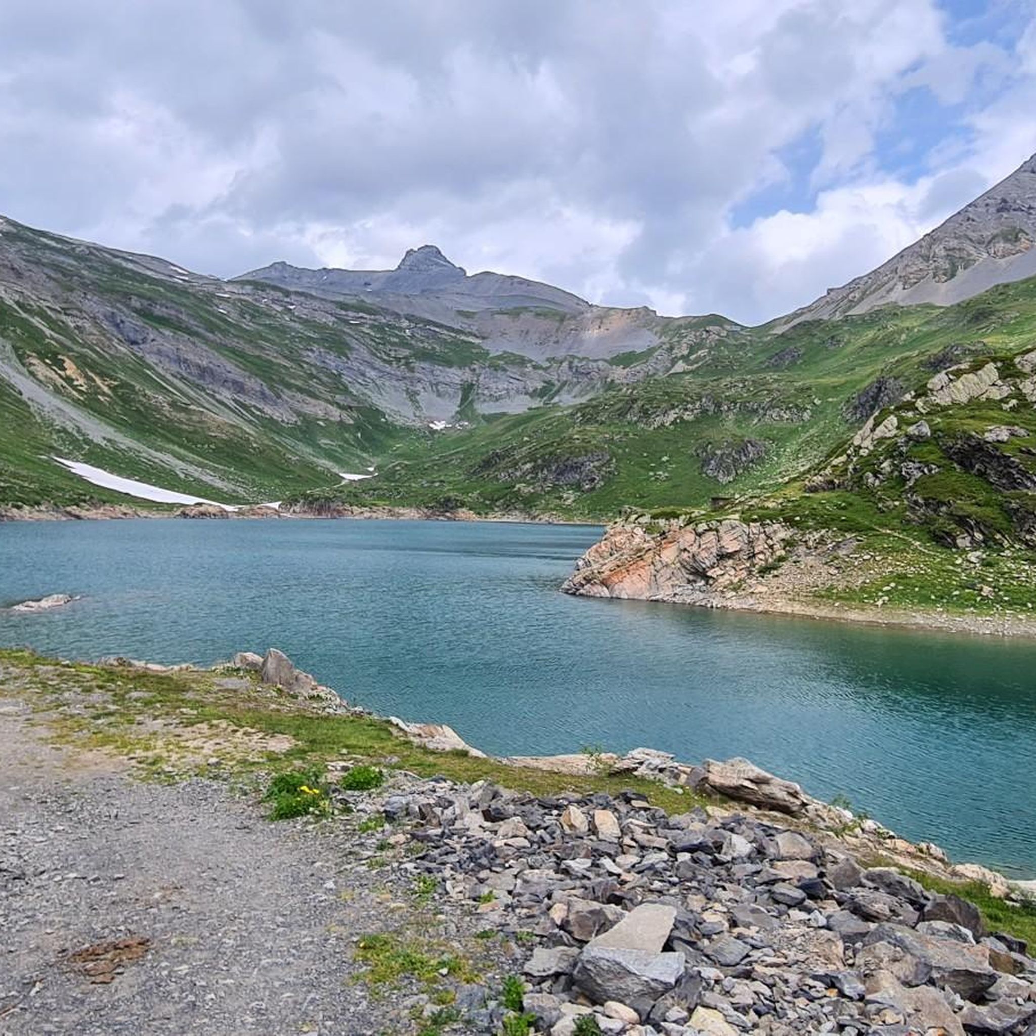
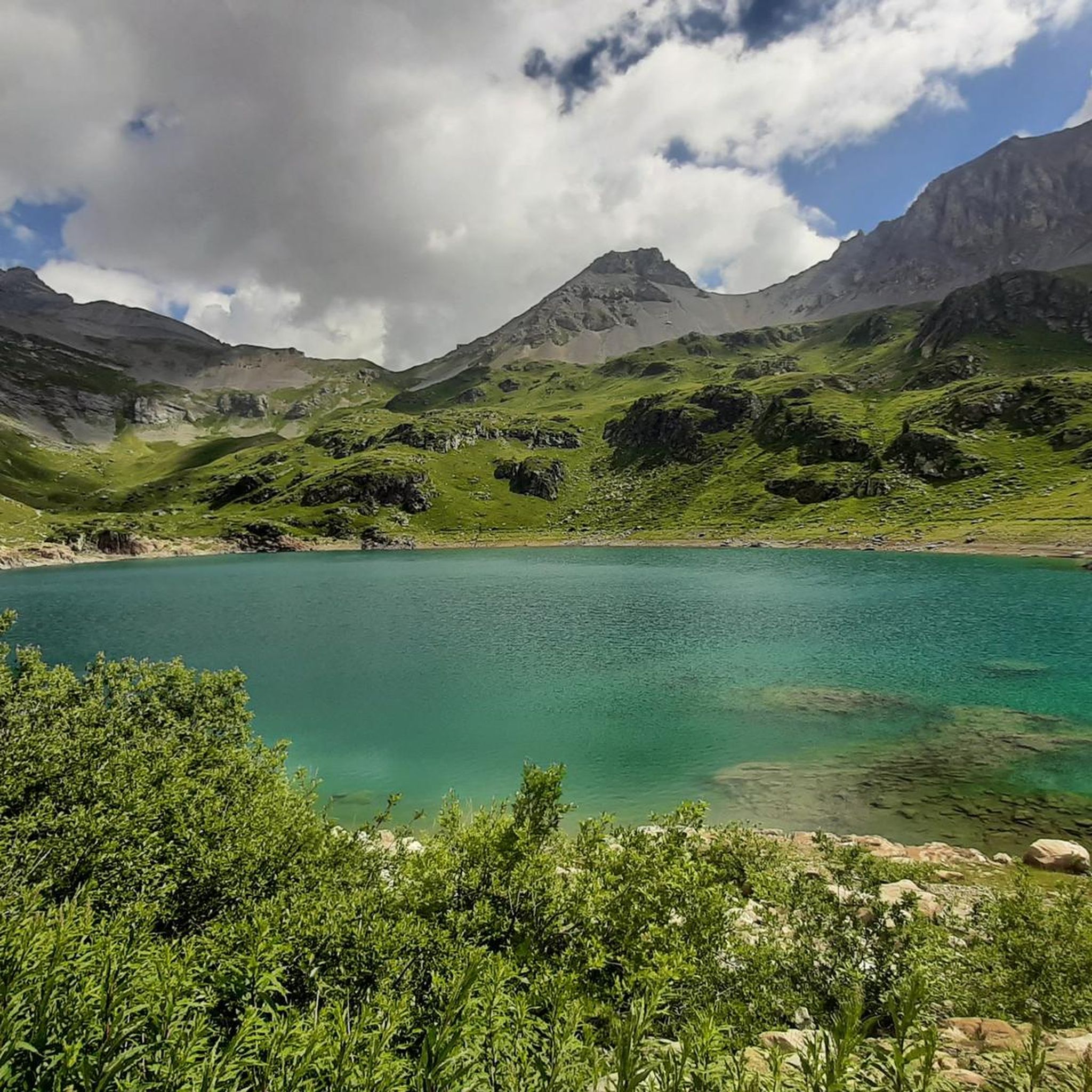
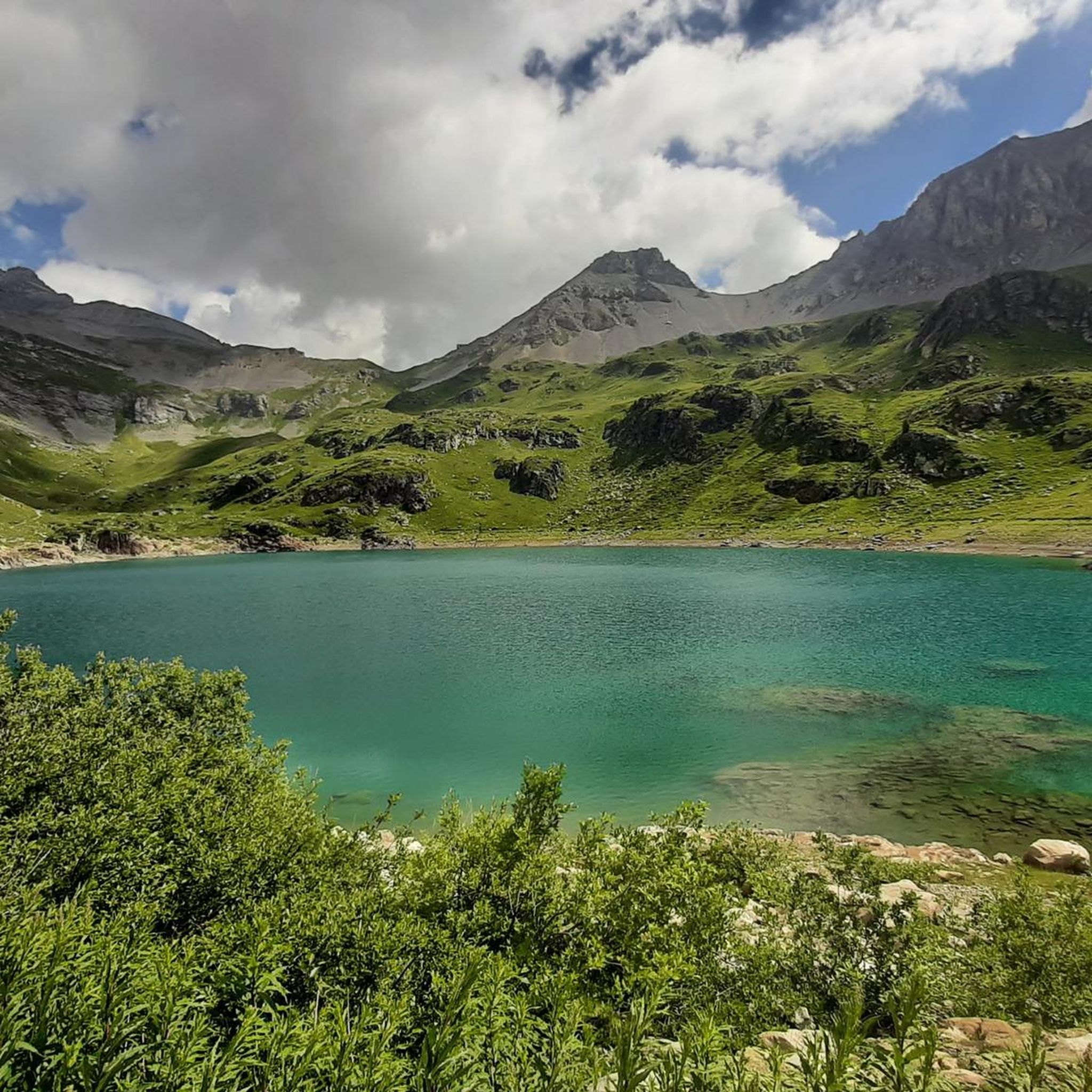
Mountaineering routes around Lac Supérieur de Fully are set within the Muverans massif in the Canton of Valais, Switzerland. This alpine region features dramatic rocky mountains, forests, and scree, with the lake itself situated at an elevation of 2,135 meters (7,005 feet). The terrain offers significant elevation gains and panoramic views of the Rhône Valley and surrounding peaks, including Mont Blanc.
Best mountaineering routes around Lac Supérieur de Fully
- The most popular mountaineering route is Grand Dent de Morcles –…
Last updated: June 27, 2026
4.0
(1)
27
hikers
14.6km
07:10
1,010m
1,010m
Hard mountaineering route. Very good fitness required. Sure-footedness, sturdy shoes and alpine experience required.
24
hikers
12.2km
05:37
1,040m
1,040m
Hard mountaineering route. Very good fitness required. Sure-footedness, sturdy shoes and alpine experience required.

Sign up for free
3.0
(1)
5
hikers
12.9km
06:29
1,150m
1,140m
Hard mountaineering route. Very good fitness required. Sure-footedness, sturdy shoes and alpine experience required.
3
hikers
Hard mountaineering route. Very good fitness required. Sure-footedness, sturdy shoes and alpine experience required.
Our route recommendations are based on thousands of hikes, rides, and runs completed by other people on komoot.
Start today with a free account
Your next adventure awaits.
Login or Signup
Tips from the Community

Very steep climb (and descent)
0
0

Beautiful view of the surrounding mountains including Mont Blanc
0
0

magnificent sample of world flora
0
0

If you are looking for a challenging and rewarding hike in the Grand Muveran alpine landscape, you will visit Pointe des Savolaires. You will benefit from a breathtaking view of the Muveran massif and the Vallon de Nant. The final climb to the summit is steep and exposed, so be careful.
2
0
This superior ski resort is part of the Villars/Gryon/Les Diablerets ski area in Switzerland. It is located at the summit of La Jorasse, 1949 meters above sea level. The ski resort was served by a T-shaped ski lift, but this was closed and replaced by a 10-seater gondola in 2018. It is an ideal gateway to many hiking trails and mountain huts.
2
0

A large rocky mountain in the Muverans massif. The summit offers a magnificent view of the Rhône valley and the surrounding peaks of the massif. The summit is accessible via a hiking trail, but it is ultimately quite a difficult trail and should only be considered by those with adequate mountain experience. For those who do, it's a demanding but rewarding day in incredible mountain terrain.
1
0

If you are lucky, you can also observe a larger herd of ibex here.
0
0

Beautiful tour with a magnificent panoramic view
0
0
Frequently Asked Questions
What is the general difficulty level of mountaineering routes around Lac Supérieur de Fully?
The mountaineering routes around Lac Supérieur de Fully are generally challenging. All the routes listed in this guide are rated as 'difficult', requiring very good fitness, sure-footedness, sturdy shoes, and alpine experience. Some paths can involve significant elevation gains and vertiginous passages, corresponding to SAC 4-6 difficulty levels.
Are there any circular mountaineering routes available?
Yes, several mountaineering routes around Lac Supérieur de Fully are circular. For instance, you could explore the Grand Dent de Morcles – Summit Trail Above Valais loop from Jorasse, which offers extensive alpine views. Another option is the Grand Garde – La Seya loop from Ovronnaz, traversing varied mountainous terrain.
What kind of terrain can I expect on these mountaineering routes?
You can expect a diverse and challenging alpine terrain. Routes often traverse forests, rocky cliffs, scree, and alpine pastures. The region is part of the Muverans massif, characterized by dramatic rocky mountains and significant elevation changes. The lake itself is at 2,135 meters (7,005 feet), and trails often climb much higher.
What are some notable viewpoints or landmarks along the mountaineering routes?
The region offers spectacular panoramic views. From various points, you can see the Rhône Valley and surrounding peaks, including Mont Blanc. The summit of Grand Chavalard (2901 m) provides an expansive view over Lac Supérieur de Fully and the surrounding mountains. The ascent to Col de Sorniot also rewards hikers with superb views of the Combins massif and Mont-Blanc.
Are there any mountain huts or refuges available for overnight stays?
Yes, the area around Lac Supérieur de Fully features mountain huts that provide essential amenities. Cabane du Fenestral and Cabane de Sorniot are notable examples, offering food and lodging during the high season. These huts make multi-day treks feasible and more comfortable for mountaineers.
What is the best time of year for mountaineering around Lac Supérieur de Fully?
The best time for mountaineering around Lac Supérieur de Fully is typically during the warmer months when the trails are free of snow and ice, generally from late spring to early autumn. This period offers the most favorable conditions for tackling the challenging alpine terrain and enjoying the panoramic views.
Are there any routes that offer views of Mont Blanc?
Absolutely. The mountainous terrain around Lac Supérieur de Fully provides breathtaking views of the Rhône Valley and surrounding peaks, including the majestic Mont Blanc. For example, the Ibex Colony – View of the Mont Blanc Massif loop from Ovronnaz is specifically highlighted for its vistas of the Mont Blanc Massif.
What do other mountaineers say about the routes in this area?
The mountaineering routes around Lac Supérieur de Fully are highly rated by the komoot community, with an average score of 3.7 stars from 3 reviews. Over 70 mountaineers have used komoot to explore this varied terrain, often praising the challenging ascents and the dramatic alpine scenery.
Are there any routes that pass through rocky cliffs or alpine pastures?
Yes, the region is known for its varied terrain, including rocky cliffs and alpine pastures. The Pointe d'Euzanne – Col des Pauvres loop from Les Plans-sur-Bex, Le Chamois is a prime example, leading through rocky cliffs and alpine pastures, offering a true mountain experience.
How long do the mountaineering routes typically take to complete?
The duration of mountaineering routes around Lac Supérieur de Fully varies depending on the specific trail and your pace. For instance, the Grand Dent de Morcles – Summit Trail Above Valais loop from Jorasse typically takes around 7 hours 10 minutes, while the Col des Pauvres loop from Plans-sur-Bex, Les, Village is often completed in about 6 hours 20 minutes.
Is there parking available for accessing the mountaineering routes?
While specific parking locations are not detailed for each route, access points like Jorasse, Ovronnaz, and Les Plans-sur-Bex (Le Chamois or Village) serve as starting points for these mountaineering tours, suggesting that parking facilities are generally available in these areas. It's advisable to check local information for specific parking regulations or fees before your visit.
Most popular routes around Lac Supérieur de Fully

Get inspired with the komoot mobile app


Explore more
Browse the best Mountain Hikes & Routes in other regions.
