The best mountain hikes around Lake Hallwil
5.0
(2)
29
hikers
4
hikes
Mountaineering around Lake Hallwil offers a unique blend of experiences, set within an idyllic, hilly countryside. The region is characterized by gentle rolling hills and green areas, providing a picturesque backdrop for outdoor pursuits. While the immediate vicinity of Lake Hallwil features more moderate terrain, some routes in the broader area offer views of the distant Central Alps on clear days. This landscape provides a diverse environment for various outdoor activities.
Best mountaineering routes around Lake Hallwil
- The most popular…
Last updated: June 27, 2026
5.0
(1)
8
hikers
10.8km
04:04
560m
560m
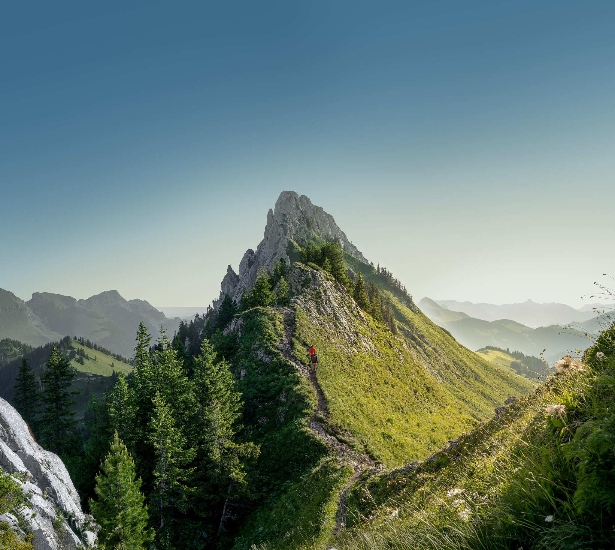
Moderate mountaineering route. Good fitness required. Mostly accessible paths. Sure-footedness required.
5.0
(1)
12
hikers
1.80km
01:17
140m
140m
Hard mountaineering route. Great for any fitness level. Sure-footedness, sturdy shoes and alpine experience required.

Sign up for free
7
hikers
7.02km
04:38
730m
730m
Hard mountaineering route. Good fitness required. Sure-footedness, sturdy shoes and alpine experience required.
2
hikers
4.92km
02:09
330m
330m
Moderate mountaineering route. Good fitness required. Mostly accessible paths. Sure-footedness required.
Our route recommendations are based on thousands of hikes, rides, and runs completed by other people on komoot.
Start today with a free account
Your next adventure awaits.
Login or Signup
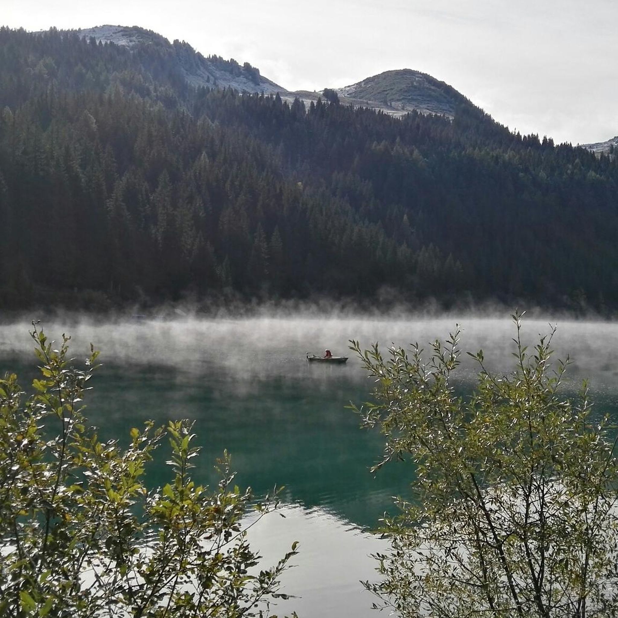
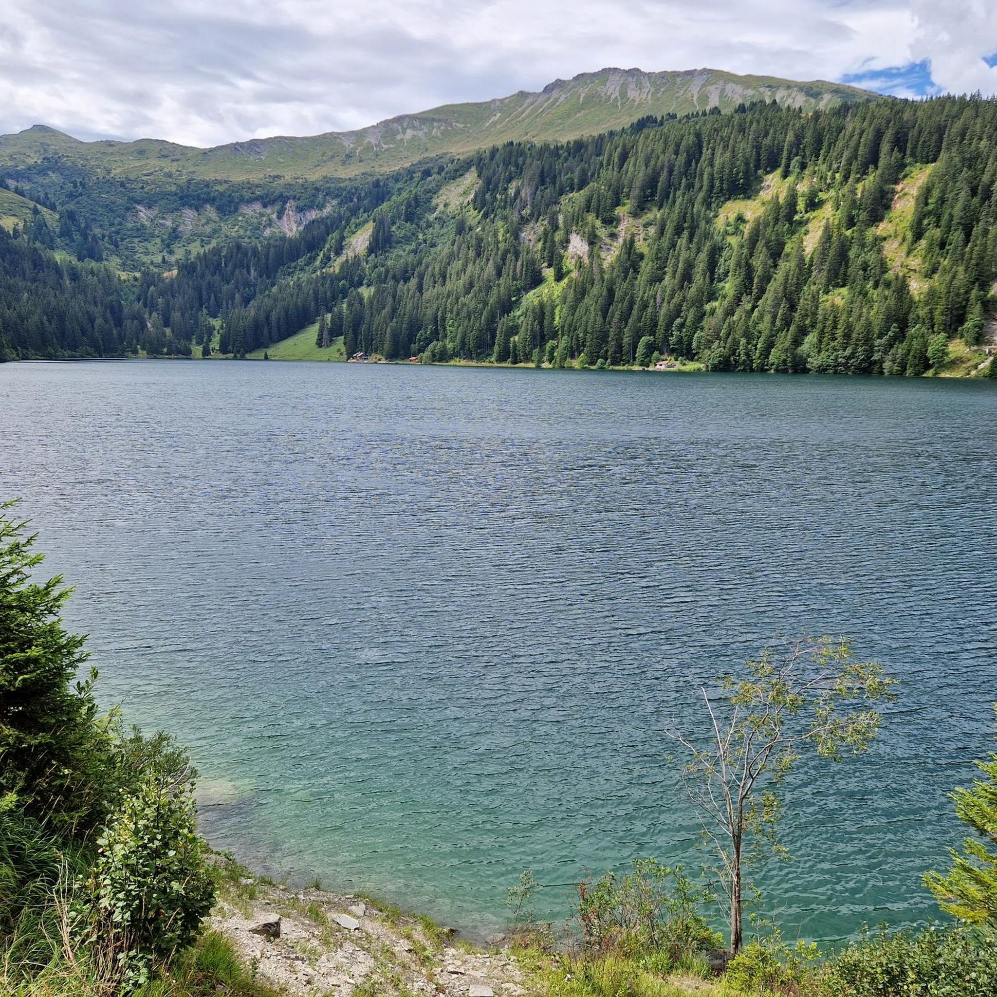
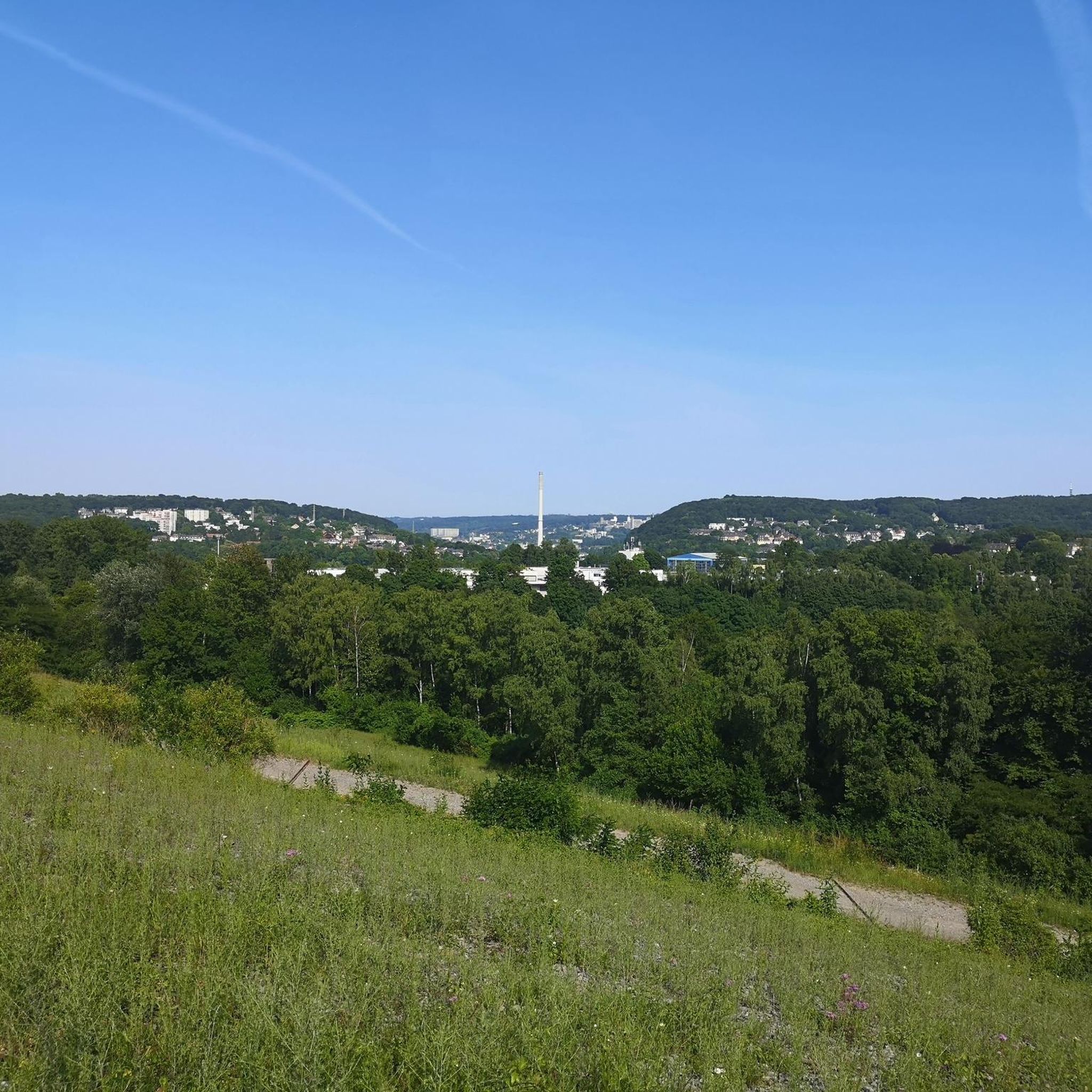
Other adventures around Lake Hallwil

Tips from the Community

Superb climb from Sion, about 1800 m. 2 alternatives, but for gravel I recommend through the villages on the right bank of the Morge.
0
0

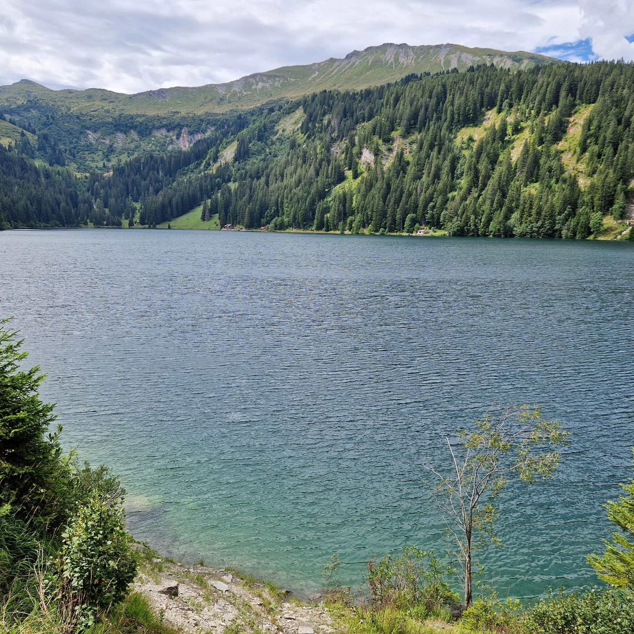
Unfortunately there are a lot of people because you can drive almost to the lake.
0
0

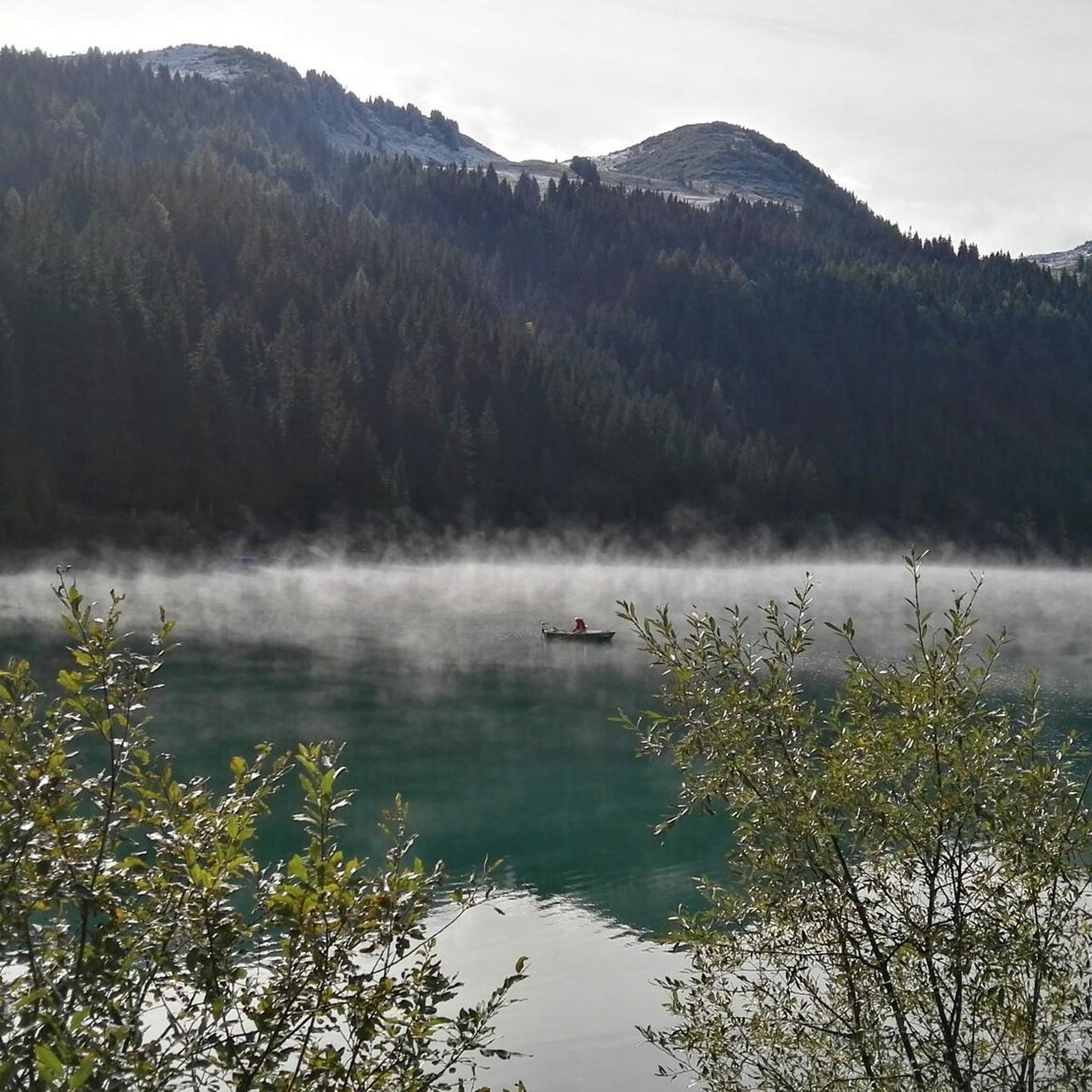
lovely glimpse surrounded by the mountain, if you are lucky you can find a small space and try to get wet
0
0

A light-filled sun terrace at the La Videmanette mountain restaurant and alpine views of the Gstaad Dolomites: everything your heart desires when you've reached this high altitude.
1
0

the beauty of the site, in all seasons, is unmissable
0
0

Attention: The last 100 mUp from Sanetsch are T4
0
0

Beautiful viewing summit located directly on the cantonal border between Bern and Valais.
0
0
Frequently Asked Questions
What kind of terrain can I expect on mountaineering routes near Lake Hallwil?
While the immediate vicinity of Lake Hallwil features an idyllic, hilly countryside perfect for leisurely walks, the mountaineering routes highlighted in this guide are located in the broader region, offering more challenging alpine terrain. You can expect varied landscapes, from moderate ascents to demanding high-altitude paths, with significant elevation gains. For example, the Arpelistock Summit (3,035 m) loop from Col du Sanetsch involves over 700 meters of ascent.
Are there any family-friendly mountaineering options in the Lake Hallwil area?
The routes specifically categorized as 'mountaineering' in this guide tend to be moderate to difficult, requiring good fitness and sure-footedness. For families looking for easier outdoor experiences, the Lake Hallwil region offers numerous gentle hiking trails and a well-maintained 22 km circular path around the lake, which are more suitable for all ages. These provide a picturesque backdrop without the demands of alpine mountaineering.
What are some notable natural features or landmarks I might encounter on these routes?
While the mountaineering routes themselves are situated in more alpine settings away from the immediate lake, the broader Lake Hallwil region is rich in natural beauty and cultural landmarks. You'll find the pristine Lake Hallwil itself, with its clear waters and preserved natural banks, and the historic Hallwyl Castle at its northern end. The surrounding area also features idyllic hilly countryside and nature reserves. On clear days, some higher trails may even offer views of the distant Central Alps.
Are there any circular mountaineering routes available?
Yes, several of the mountaineering routes in the broader Lake Hallwil region are designed as loops, allowing you to start and end at the same point. Examples include the moderate Mountaineering loop from Col du Pillon and the more challenging Arpelistock Summit (3,035 m) loop from Col du Sanetsch. Another option is the Buvette des Petits-Lacs loop from Col des Mosses, which is also a moderate circular trail.
What is the best time of year for mountaineering near Lake Hallwil?
The best time for mountaineering in the alpine areas near Lake Hallwil is typically during the warmer months, from late spring to early autumn (June to September), when trails are generally free of snow and weather conditions are more stable. Always check local weather forecasts and trail conditions before heading out, as conditions can change rapidly in mountainous terrain.
How many mountaineering routes are covered in this guide?
This guide features five distinct mountaineering routes in the broader region around Lake Hallwil. These routes offer a range of experiences, from moderate climbs to more difficult summit attempts, catering to different skill levels.
What is the difficulty level of the mountaineering routes?
The mountaineering routes in this guide are classified as either moderate or difficult. For instance, the Mountaineering loop from Col du Pillon is moderate, while the Le Rubli loop from Le Rubli and the Arpelistock Summit (3,035 m) loop from Col du Sanetsch are considered difficult, requiring experienced mountaineers.
Are there any amenities like cafes or accommodation near the starting points of these routes?
The starting points for these mountaineering routes, such as Col du Pillon, Col du Sanetsch, and Col des Mosses, are typically located in more remote alpine areas. While some may have basic facilities or mountain huts, it's advisable to research specific amenities for each starting point in advance. The Lake Hallwil area itself, however, offers a wide range of cafes, restaurants, and accommodation options, particularly in towns along the lake.
What do other mountaineers say about these routes?
The mountaineering routes in the broader Lake Hallwil region are highly regarded by the komoot community, with an average score of 5.0 stars from over 4 reviews. More than 90 mountaineers have used komoot to explore this varied terrain, often praising the challenging ascents and the rewarding alpine landscapes.
Are dogs allowed on the mountaineering trails?
While many hiking trails in Switzerland are dog-friendly, specific regulations can vary, especially in nature reserves or on more challenging alpine routes. It's always best to check local signage or specific route information for the particular trail you plan to undertake. On the general paths around Lake Hallwil, dogs are typically welcome, often on a leash.
What kind of views can I expect on these mountaineering routes?
The mountaineering routes, being in more elevated alpine areas, offer expansive and dramatic views. You can expect panoramic vistas of surrounding mountain ranges, deep valleys, and potentially distant glimpses of the Central Alps on clear days. Routes like the Arpelistock Summit (3,035 m) loop provide high-altitude perspectives of the alpine landscape.
Do I need any special permits for mountaineering in this region?
Generally, for hiking and mountaineering on marked trails in Switzerland, special permits are not required. However, if you plan to access specific protected areas, cross private land, or engage in activities beyond standard hiking, it's always wise to check for any local regulations or permit requirements. For the routes listed in this guide, no specific permits are typically needed for public access.
Most popular routes around Lake Hallwil
Most popular attractions around Lake Hallwil

Get inspired with the komoot mobile app


Explore more
Browse the best Mountain Hikes & Routes in other regions.
