The best mountain hikes around Schwarzsee
4.6
(9)
97
hikers
12
hikes
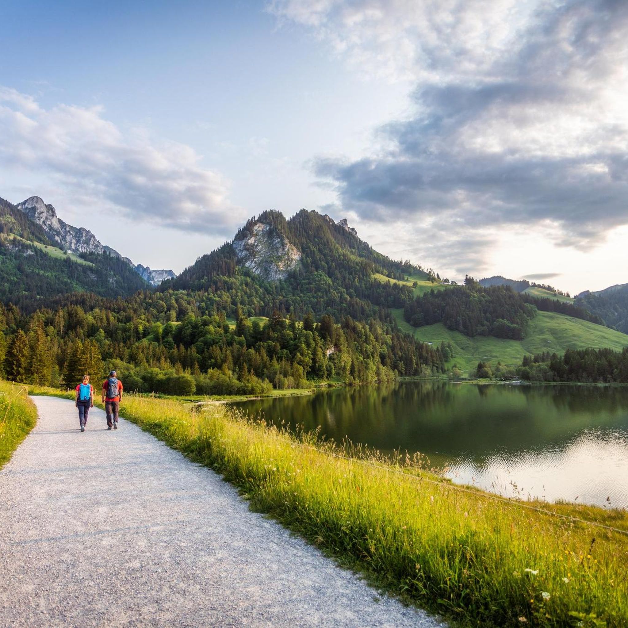
Mountaineering routes around Schwarzsee are set within the Fribourg Pre-Alps, a region characterized by its picturesque panorama, flower-filled meadows, and dramatic steep mountainsides. The landscape features prominent peaks such as Kaiseregg (2,185 m) and Spitzfluh (1,951 m), offering challenging ascents and expansive views. The area also includes the Brecca Valley, a primeval landscape with impressive limestone cliffs, shaped by ancient glaciers. These natural features provide a diverse and demanding environment for mountaineering.
Best mountaineering routes around Schwarzsee
- The most popular…
Last updated: October 9, 2026
5.0
(1)
16
hikers
15.1km
06:48
1,070m
1,070m
Hard mountaineering route. Very good fitness required. Sure-footedness, sturdy shoes and alpine experience required.
5.0
(1)
10
hikers
14.1km
06:28
1,070m
1,070m
Hard mountaineering route. Very good fitness required. Sure-footedness, sturdy shoes and alpine experience required.

9
hikers
12.9km
05:39
830m
830m
Hard mountaineering route. Very good fitness required. Sure-footedness, sturdy shoes and alpine experience required.
6
hikers
13.9km
05:20
870m
870m
Hard mountaineering route. Very good fitness required. Mostly accessible paths. Sure-footedness required.
4.0
(1)
9
hikers
13.3km
05:51
860m
860m
Hard mountaineering route. Very good fitness required. Sure-footedness, sturdy shoes and alpine experience required.
Get access to more routes and recommendations from other explorers.
Already have an account?
Our route recommendations are based on thousands of hikes, rides, and runs completed by other people on komoot.
Start today with a free account
Your next adventure awaits.
Popular around Schwarzsee
Freiburg Pre-Alpine Trail – Hiking along the language border

Alpine Panorama Trail in Switzerland – Keep your eyes on the mountains
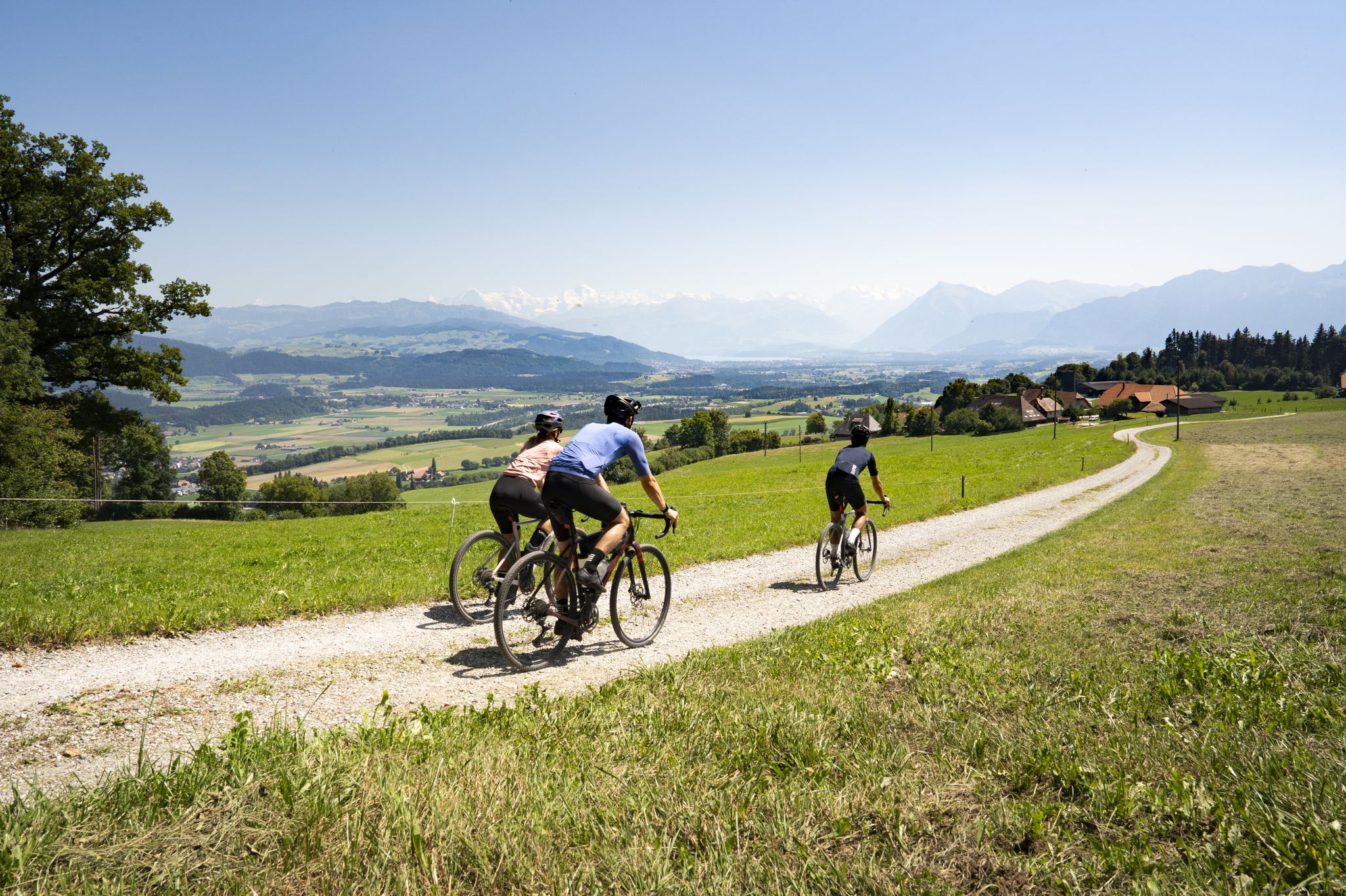
Gravel roads and Alpine views – gravel riding in the Gantrisch Nature Park
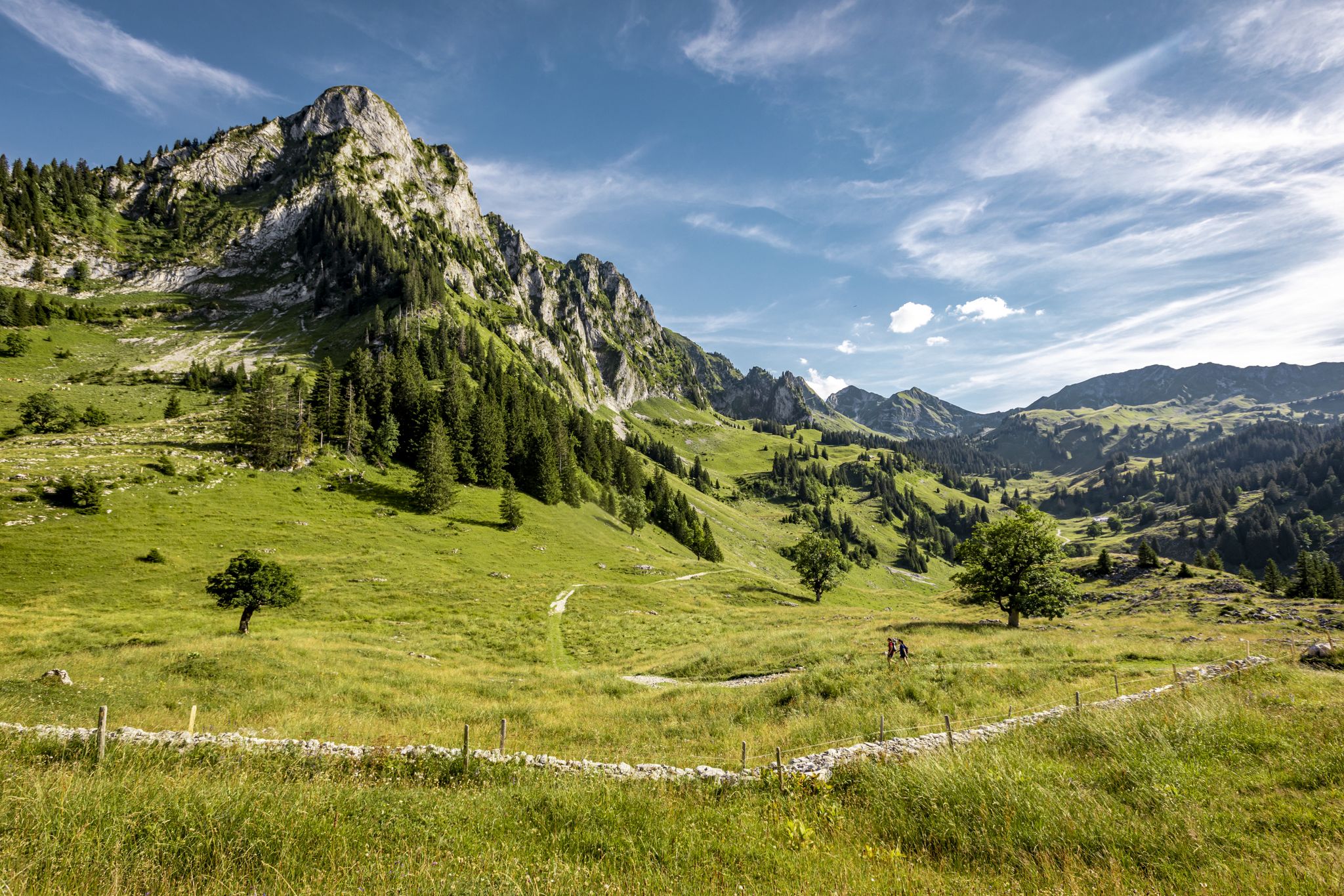
Over Stock and Stone - Freiburg Pre-Alps Trail
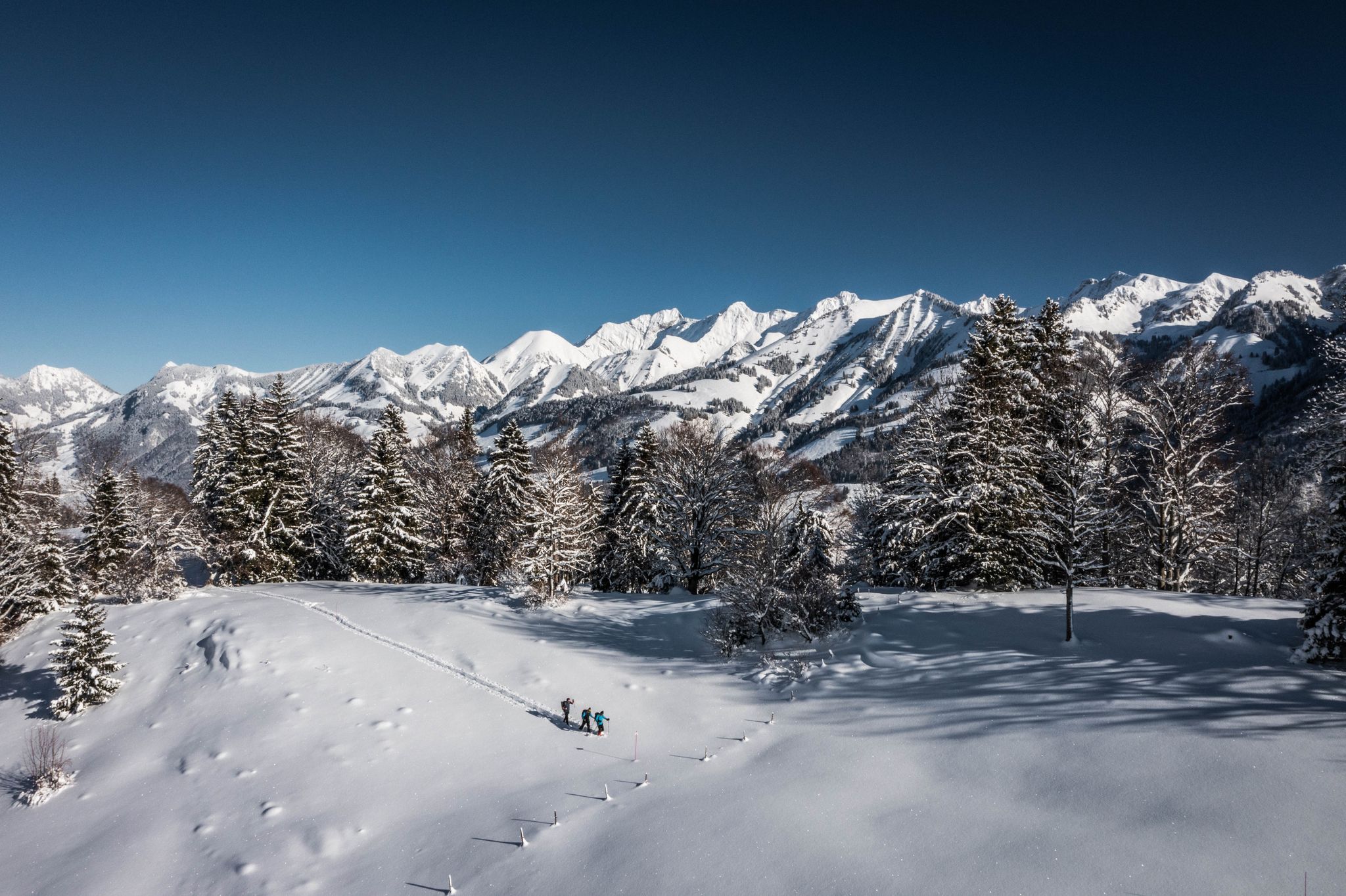
White landscapes – hiking on snowshoes in the Swiss canton of Fribourg
Schlemmen und Radeln – Grand Gourmet Rides durch die Schweiz
100% Women: Fürs Biken geschaffen – die Schweiz
Einfache Winterwanderwege in der Region Freiburg
Top Herbstwanderungen im Kanton Freiburg
Hiking around Schwarzsee
Other adventures around Schwarzsee


Tips from the Community


The Alp Oberer Euschels is located just below the 1,600-meter-high Euschelspass on the Schwarzsee side. Up here, you can get many delicacies, from cheese to sausages to fondue (on request). The alp is open from June to October, and you can also stay overnight. More information also here: https://fribourg.ch/de/schwarzsee/berghuetten-mit-verpflegungsmoeglichkeit/alp-oberer-euschels/
0
0

Charming alpine hut with terrace & courtyard atmosphere – directly on the path between Schwarzsee (Gypsera) and the Euschelspass Regional specialities: goat cheese, fondue, dried sausage, homemade desserts & cheese sales directly from the farm Hosts: The Bapst family has been running the hut for over 100 years – familiar & authentic 🚶 Route Inclusion: Frequent stopover on hiking tours from Schwarzsee via Euschelspass to Jaun (circular tour approx. 13 km, ~5 h, 700 m elevation gain) Access: The hiking trail leads through forest and open alpine pastures to the hut – from there, it is possible to continue towards Breccaschlund & Riggisalp
0
0

Great alpine snack bar for a little break. Great view of the Black Lake. Friendly welcome and excellent food!
0
0

The Stierenberg viewpoint is the highest peak between the Suhre and Aabach valleys, and offers breathtaking views of the Schwarzsee, the surrounding mountains and the Mittelland. You can also admire an imposing sycamore maple which sits on the hiking trail, and rest on a bench which invites you to stroll. The Stierenberg viewpoint is accessible by different routes, such as that of Val-de-Charmey in the Gruyère district. You'll be rewarded with stunning views and a sense of accomplishment after reaching the top of this forested mountain.
2
0
Patraflon is a grassy summit in the Friborg Pre-Alps which dominates the Valsainte Valley. It offers a magnificent view of the Swiss Plateau and the Jura. Its wide and regular slopes make it an ideal destination for running, especially in spring and autumn. You can start from the Pré de l'Essert farm and follow the Essert valley, then climb to the summit of Patraflon via a wooded ridge. You can also extend your route by traversing to the nearby summit of Gros Brun, which requires some climbing on the northwest ridge. Enjoy the landscape and tranquility of this little-known region.
2
0

Merängge and Nidla, that's exactly what it takes! It's really nice!
0
0

The smoking of the stream and the various bird songs at the beginning of the path bring a calm atmosphere.
0
0
Frequently Asked Questions
What kind of terrain can I expect on mountaineering routes around Schwarzsee?
The mountaineering routes in Schwarzsee are set within the Fribourg Pre-Alps, characterized by a picturesque panorama, flower-filled meadows, and dramatic steep mountainsides. You'll encounter prominent peaks like Kaiseregg and Spitzfluh, offering challenging ascents. The area also features the Brecca Valley, a primeval landscape with impressive limestone cliffs, shaped by ancient glaciers. The routes are defined by steep mountainsides, limestone cliffs, and high alpine passes.
How many mountaineering routes are available in Schwarzsee?
There are 17 mountaineering routes available around Schwarzsee. Most of these, 13 to be exact, are classified as difficult, with 4 routes considered moderate.
Are there any moderate mountaineering routes for those seeking a less strenuous challenge?
While most mountaineering routes around Schwarzsee are difficult, there are 4 moderate options available. One such route is the View of Lac de la Gruyère – Vallée de la Brecca loop from Schwarzsee, which covers 13.8 km and typically takes around 5 hours and 20 minutes to complete.
What are the typical distances and durations for mountaineering routes in this region?
Mountaineering routes around Schwarzsee vary in length and duration. For example, the Steep Ascent on Forest Trail – Ascent to Kaiseregg Pass loop from Schwarzsee is 13.2 km long and takes approximately 5 hours and 53 minutes. Another route, the View of Schwarzsee – Patraflon Summit Statue loop from Schwarzsee, is 15.1 km and typically requires about 6 hours and 48 minutes.
What natural features or landmarks can I see while mountaineering in Schwarzsee?
While mountaineering, you can experience the stunning natural beauty of the Fribourg Pre-Alps, including the dark waters of Schwarzsee itself, and prominent peaks like Kaiseregg (2,185 m) and Spitzfluh (1,951 m). The Brecca Valley, a unique glacial landscape with impressive limestone cliffs, is also a significant feature. For specific viewpoints, consider visiting the Schwarzsee Observation Tower, Gantrisch Nature Park, or the Bench with a view of Schwarzsee and the whale tail sculpture.
Are there any circular mountaineering routes around Schwarzsee?
Yes, many of the mountaineering routes around Schwarzsee are circular. An example is the Ascent to Kaiseregg Pass – Steep Ascent on Forest Trail loop from Schwarzsee, a 14.0 km trail that takes about 6 hours and 26 minutes, leading through steep forest trails.
What do other mountaineers enjoy most about mountaineering in Schwarzsee?
The mountaineering routes in Schwarzsee are highly rated by the komoot community, with an average score of 4.6 stars from over 20 reviews. Mountaineers often praise the challenging ascents, the expansive panoramic views from peaks like Kaiseregg, and the diverse terrain that includes flower-filled meadows and dramatic steep mountainsides.
What is the best time of year for mountaineering in Schwarzsee?
The best time for mountaineering in Schwarzsee is typically during the warmer months when trails are clear of snow and ice. However, the region also offers winter activities like snowshoeing and winter hiking for those prepared for colder conditions. Always check local weather and trail conditions before heading out.
Can I find cafes or pubs near the mountaineering routes for refreshments?
Yes, the region around Schwarzsee has alpine huts and mountain pastures along the trails, allowing hikers to stop and sample local products. You can also find establishments like the Hostellerie at Schwarzsee, which is a restaurant located near the lake.
Are there any routes that offer views of the Brecca Valley?
Yes, the Brecca Valley is a significant natural attraction in the area. You can explore it on routes like the Vallée de la Brecca – Spitzflue Summit loop from Schwarzsee, a challenging 12.5 km route that takes approximately 5 hours and 31 minutes.
What are the highest peaks accessible via mountaineering routes in Schwarzsee?
Prominent peaks bordering Schwarzsee that are accessible via mountaineering routes include Kaiseregg (2,185 m) to the east and Spitzfluh (1,951 m) to the south. Kaiseregg, in particular, offers phenomenal panoramic views stretching from the Jura to the Bernese Alps and even to Mont Blanc on clear days.
Most popular routes around Schwarzsee
Most popular attractions around Schwarzsee

Get inspired with the komoot mobile app


Explore more
Browse the best Mountain Hikes & Routes in other regions.
