The best cycling routes around Stausee Garichti
4.6
(53)
1,226
riders
31
rides
Touring cycling routes around Stausee Garichti traverse the mountainous landscape of the Glarnerland region, situated within the Freiberg Kärpf nature reserve. While the immediate vicinity of the alpine lake is primarily suited for hiking, the broader area offers routes with significant elevation changes, characteristic of high alpine environments. These paths often follow river valleys and ascend into the surrounding mountains, providing varied terrain for touring cyclists.
Best touring cycling routes around Stausee Garichti
- The most popular touring cycling route is…
Last updated: June 24, 2026
4.1
(15)
196
riders
43.9km
02:38
190m
190m
Moderate bike ride. Good fitness required. Mostly paved surfaces. Suitable for all skill levels.
4.3
(9)
91
riders
68.2km
04:01
240m
240m
Moderate bike ride. Good fitness required. Mostly paved surfaces. Suitable for all skill levels.

Sign up for free
5.0
(1)
67
riders
22.7km
02:35
1,010m
1,010m
Hard bike ride. Very good fitness required. Mostly paved surfaces. Suitable for all skill levels.
3.4
(5)
52
riders
36.4km
02:31
540m
540m
Hard bike ride. Very good fitness required. Mostly paved surfaces. Suitable for all skill levels.
13
riders
39.0km
04:35
1,540m
1,540m
Hard bike ride. Very good fitness required. You may need to push your bike for some segments of this route.
Get access to more routes and recommendations from other explorers.
Sign up for free
Already have an account?
Our route recommendations are based on thousands of hikes, rides, and runs completed by other people on komoot.
Start today with a free account
Your next adventure awaits.
Login or Signup
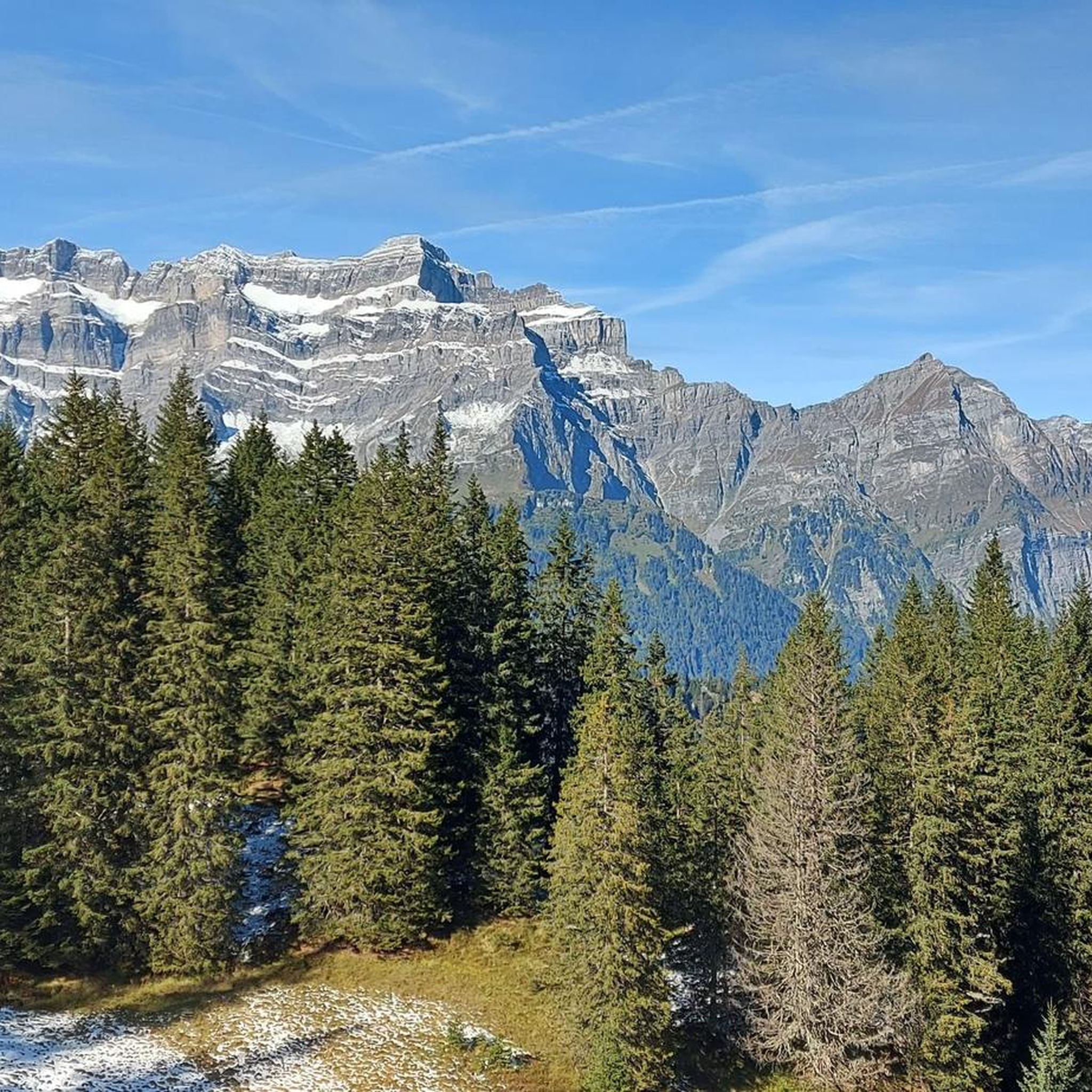
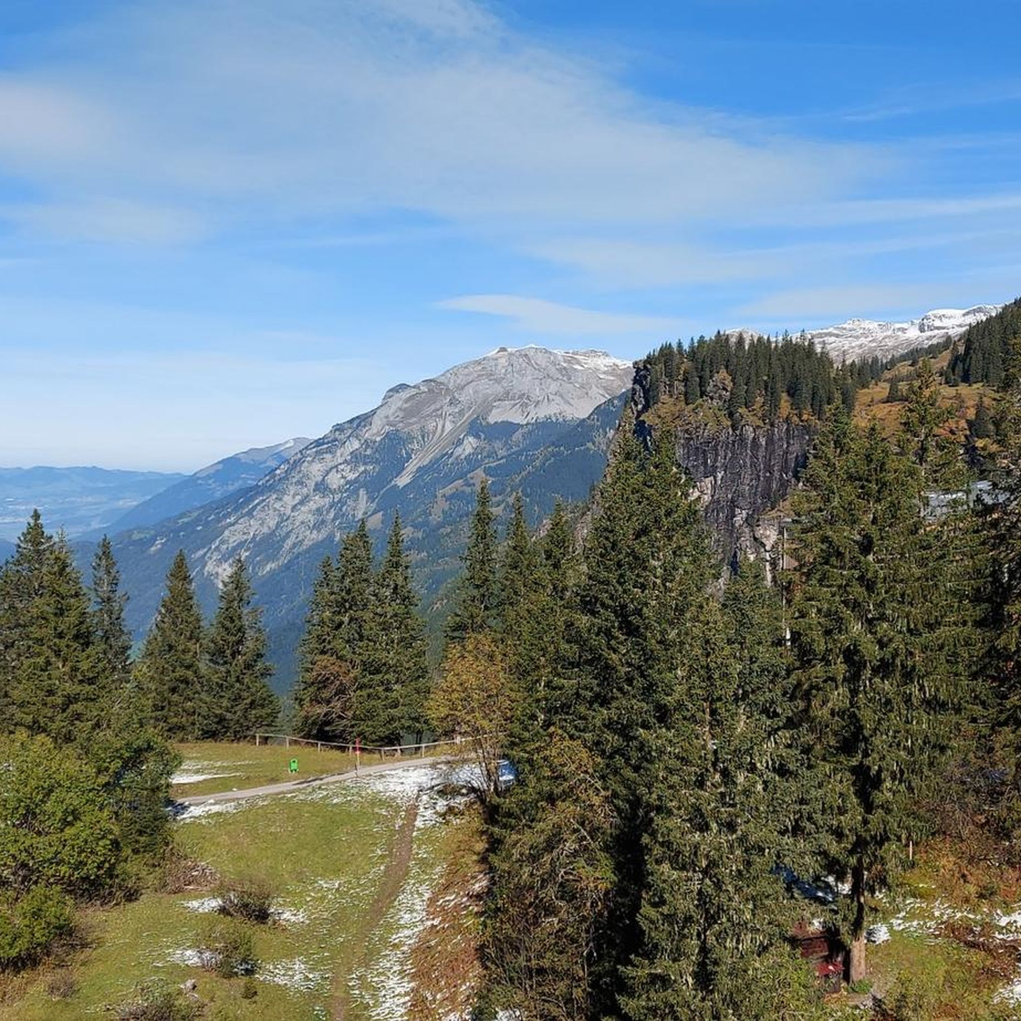
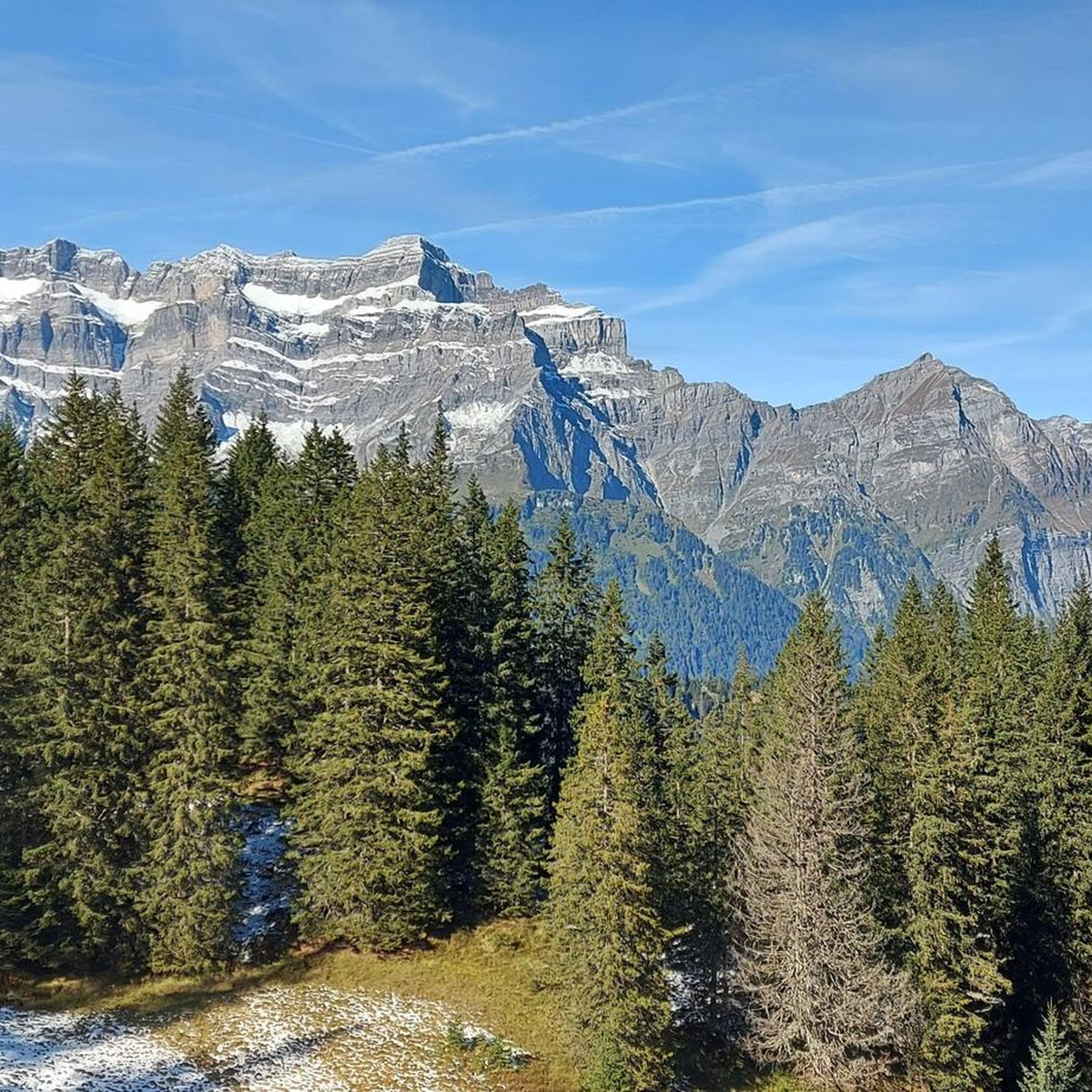
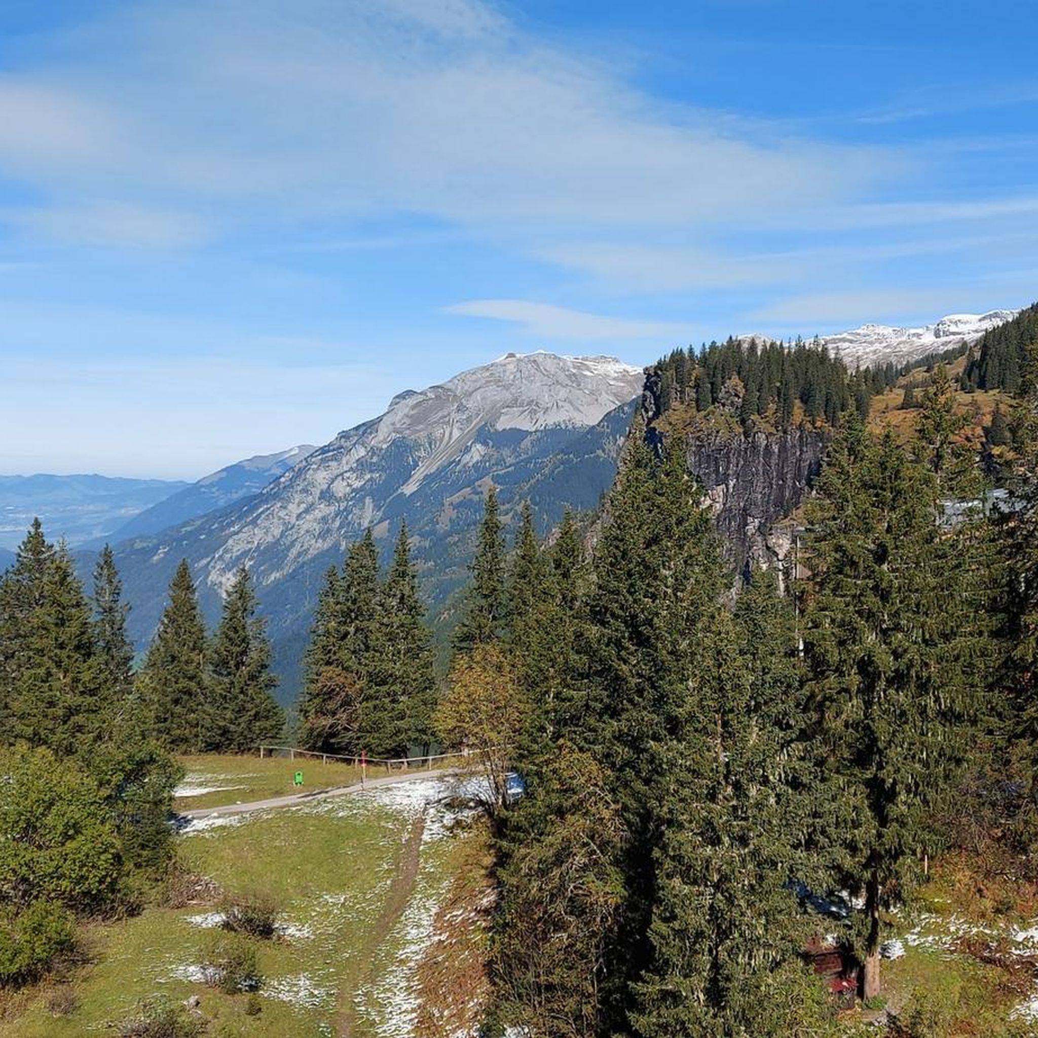

Tips from the Community

Wonderful gravel path along the Linth.
0
0
Whether a detour to Lintheben is worthwhile, everyone must decide for themselves: flat, gravel paths and asphalt lanes, quite often headwinds.
0
0

Beautiful bathing beach in the Gäsi. Also, nearby along the shore there are plenty of picnic spots.
0
0
Scenically beautiful paths along the Linth Canal.
0
0
The entire route (Schweizmobil RTe 4) offers great views, from Ziegelbrücke to Linthal (where a detour to Tierfehd is worthwhile, with a trail return to Linthal).
0
0
You are right in the center of Glarus
1
0
Frequently Asked Questions
How many touring cycling routes are available around Stausee Garichti?
There are over 30 touring cycling routes available in the broader Stausee Garichti area. These routes offer a variety of experiences, from moderate valley rides to challenging alpine ascents.
What is the general difficulty level of touring cycling routes in the Stausee Garichti area?
The routes around Stausee Garichti cater to various skill levels. You'll find a few easy routes, several moderate options, and a significant number of difficult routes, especially those that involve climbing into the surrounding mountains. For example, the Bächistübli – Oberblegisee loop from Schwanden is considered difficult due to its significant climbs.
What kind of terrain can I expect on touring cycling routes around Stausee Garichti?
The terrain is predominantly mountainous, characteristic of a high alpine environment within the Glarnerland region. Routes often follow river valleys, such as the Linth River, and then ascend into the surrounding Glarus Alps, featuring significant elevation changes. While the immediate area around Stausee Garichti is more suited for hiking, the broader region offers robust routes for touring cyclists.
Are there any circular touring cycling routes around Stausee Garichti?
Yes, many touring cycling routes in the area are designed as loops. For instance, the Linth River Cycle Path – View of the Glarus Alps loop from Schwanden and the Shore of Walensee – View of the Glarus Alps loop from Schwanden are popular circular options that allow you to start and end in the same location.
What do other touring cyclists enjoy the most about touring cycling in Stausee Garichti?
The area is highly rated by the komoot community, with an average score of 4.6 stars from over 40 reviews. Cyclists often praise the stunning views of the Glarus Alps, the diverse landscapes ranging from river valleys to alpine lakes, and the challenging ascents that reward with panoramic vistas.
Are there any family-friendly touring cycling routes near Stausee Garichti?
While the immediate Stausee Garichti area is more geared towards hiking, with a leisurely path around the lake suitable for strollers, the broader Glarnerland region offers some easier touring cycling options. Look for routes primarily following river valleys, which tend to have less extreme elevation changes and are generally more suitable for families.
What are some notable natural features or landmarks I might see on a touring cycling route?
Touring cycling routes in the region often feature views of the majestic Glarus Alps, follow the course of the Linth River, and may offer glimpses of alpine lakes like Walensee. The entire area is situated within the Freiberg Kärpf nature reserve, Europe's oldest wildlife sanctuary, offering a rich natural environment.
What is the best time of year for touring cycling around Stausee Garichti?
The best time for touring cycling is typically from late spring to early autumn (May to October), when the weather is milder and mountain passes are clear of snow. Always check local weather conditions before heading out, especially for higher elevation routes, as alpine weather can change rapidly.
Are there options for more advanced touring cyclists seeking a challenge?
Absolutely. The Stausee Garichti area, and the Glarnerland region in general, is known for its challenging routes with significant elevation gains. Routes like the Gumen Mountain Hut – Ortstockhaus Braunwald loop from Schwanden, with over 1500 meters of ascent, provide a substantial test for experienced touring cyclists.
Can I reach the touring cycling routes using public transport?
Many routes in the Glarnerland region are accessible via public transport, often starting from towns like Schwanden. It's advisable to check local bus and train schedules to plan your journey, especially if you intend to combine cycling with public transport to reach starting points or return from end points.
Are there any routes that offer views of Walensee?
Yes, the Shore of Walensee – View of the Glarus Alps loop from Schwanden is a popular moderate route that features scenic stretches along the Walensee, providing expansive views of both the lake and the surrounding Glarus Alps.
What is the longest touring cycling route available in this guide?
Among the routes highlighted, the Shore of Walensee – View of the Glarus Alps loop from Schwanden is the longest, covering approximately 67.7 kilometers (42.1 miles).
Most popular routes around Stausee Garichti
Most popular attractions around Stausee Garichti

Get inspired with the komoot mobile app


Explore more
Browse the best Cycling routes in other regions.
