The best road cycling routes around Barr Cregg
17
riders
4
rides
Road cycling routes around Barr Cregg in Northern Ireland traverse a landscape characterized by rolling hills and rural roads, offering varied terrain for cyclists. The region features a mix of open countryside and routes that pass through or near wooded areas. Elevations are moderate, providing a balance of challenging climbs and scenic descents. The area's road network connects small communities and natural features, making it suitable for exploring by bike.
Best road cycling routes around Barr Cregg
- The most popular…
Last updated: June 28, 2026
6
riders
34.7km
01:40
350m
350m
Moderate road ride. Good fitness required. Mostly well-paved surfaces and easy to ride.
3
riders
41.4km
02:03
430m
430m
Moderate road ride. Good fitness required. Mostly well-paved surfaces and easy to ride.

Sign up for free
3
riders
48.2km
02:21
530m
530m
Moderate road ride. Good fitness required. Mostly well-paved surfaces and easy to ride.
3
riders
31.3km
01:24
310m
310m
Moderate road ride. Good fitness required. Some segments of this route may be unpaved and difficult to ride.
2
riders
33.1km
02:00
530m
530m
Moderate road ride. Good fitness required. Mostly well-paved surfaces and easy to ride.
Our route recommendations are based on thousands of hikes, rides, and runs completed by other people on komoot.
Start today with a free account
Your next adventure awaits.
Login or Signup
Popular around Barr Cregg
Tips from the Community

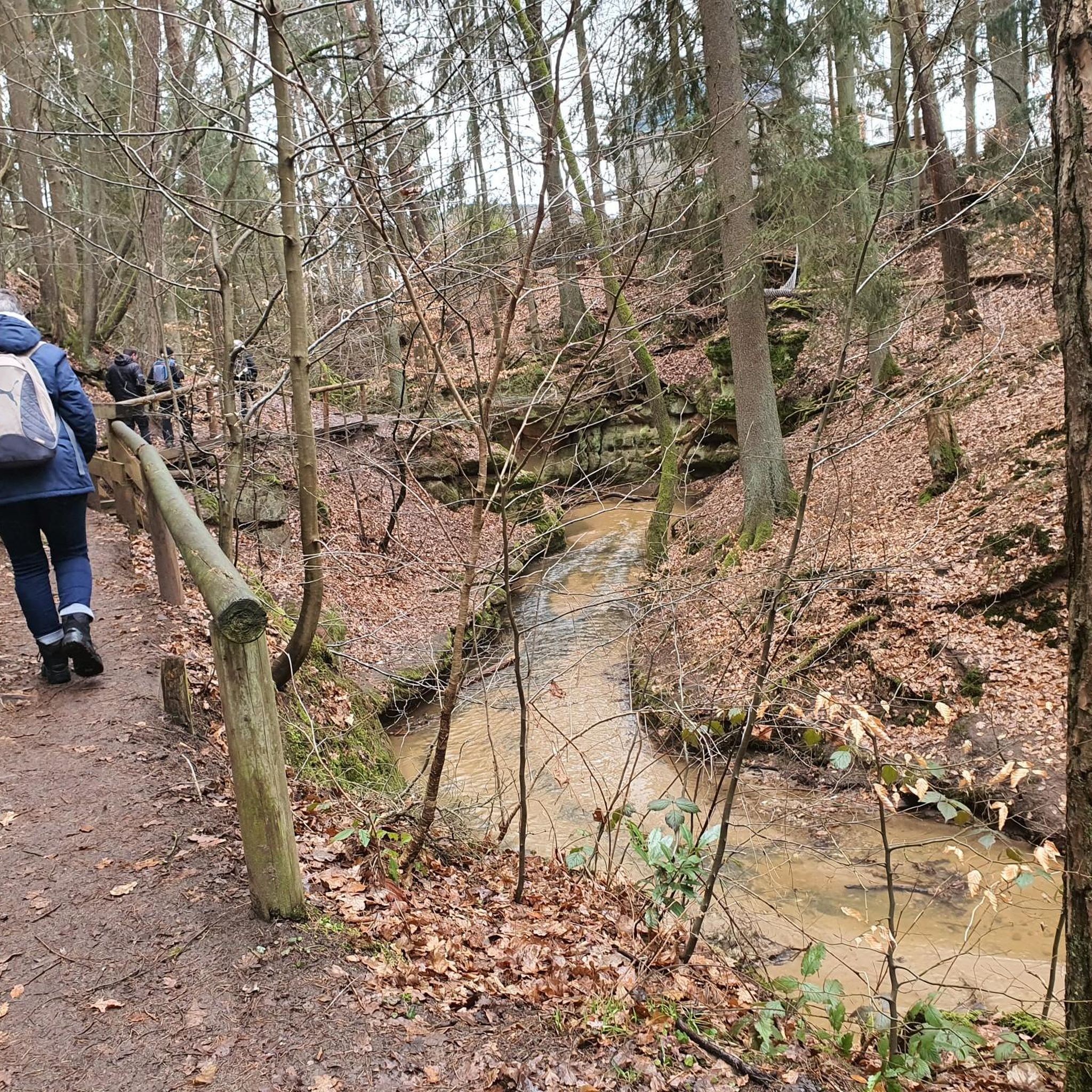
Learmount Wood is located at the foothills of the northern face of the Sperrins in Northern Ireland. The forest features a wonderful diversity of tree species, including some that have been there for over 100 years. It's a beautiful place for a stroll, featuring a stream and an abandoned mansion dating back to the 1830s.
1
0

Altinaghree Castle is also known as Liscloon House and it thought to have been built in 1860 by William Ogilby
1
0
Frequently Asked Questions
How many road cycling routes are available around Barr Cregg?
There are 4 road cycling routes currently available around Barr Cregg on komoot, offering a variety of experiences for cyclists.
What are the difficulty levels of road cycling routes in Barr Cregg?
The road cycling routes around Barr Cregg range from easy to moderate difficulty. You'll find 3 moderate routes and 1 easy route, providing options for different fitness levels.
Are there any beginner-friendly road cycling routes in Barr Cregg?
Yes, for those looking for an easier ride, the Derry Girls Mural – Peace Bridge loop from Drumahoe is an excellent choice. This 19.4-mile (31.2 km) route offers a relatively flat ride with urban and riverside scenery, perfect for beginners.
What kind of scenery can I expect on road cycling routes around Barr Cregg?
Road cycling routes around Barr Cregg traverse a landscape characterized by rolling hills and rural roads. You can expect a mix of open countryside, routes passing through or near wooded areas, and scenic descents. For example, the Derry Girls Mural – Peace Bridge loop from Drumahoe offers urban and riverside views, while the Rough Fort loop from Eglinton leads through rural landscapes.
Are there circular road cycling routes available in Barr Cregg?
Yes, all the road cycling routes listed for Barr Cregg are circular loops. This includes popular options like the Gosheden Wood loop from Legaghory and the Rough Fort loop from Eglinton, allowing you to start and finish at the same point.
What is the typical length of road cycling routes in Barr Cregg?
The road cycling routes in Barr Cregg typically range from approximately 19.4 miles (31.2 km) to 29.9 miles (48.2 km). The longest route is the Roadbike loop from Feeny, at 29.9 miles (48.2 km).
When is the best time of year for road cycling in Barr Cregg?
The best time for road cycling in Barr Cregg, like much of Northern Ireland, is generally during the spring, summer, and early autumn months (April to October). During these periods, you'll typically find milder weather, longer daylight hours, and less chance of rain, making for more enjoyable rides through the rolling hills and rural roads.
Are there any routes suitable for advanced road cyclists around Barr Cregg?
While there are no routes explicitly rated as 'difficult' in the immediate Barr Cregg area, advanced cyclists can challenge themselves on the moderate routes by increasing their pace or combining multiple loops. The Roadbike loop from Feeny, at nearly 30 miles with over 500 meters of elevation gain, offers a good workout.
Is Barr Cregg suitable for family-friendly road cycling?
For families with older children or those comfortable with road cycling, the easier routes like the Derry Girls Mural – Peace Bridge loop from Drumahoe could be suitable. This route is relatively flat and offers urban and riverside scenery. However, always assess the specific route conditions and traffic levels to ensure it's appropriate for your family's experience and comfort level.
Where can I find parking for road cycling routes in Barr Cregg?
While specific parking areas are not detailed for each route, many road cycling routes in rural areas like Barr Cregg often start from villages or towns where public parking may be available. For example, routes starting from Legaghory, Drumahoe, Eglinton, Feeny, or Claudy would likely have parking options within or near those communities.
Are there cafes or places to stop for refreshments along the routes?
The road cycling routes around Barr Cregg connect small communities such as Legaghory, Drumahoe, Eglinton, Feeny, and Claudy. These villages and towns are likely to offer local cafes, shops, or pubs where you can stop for refreshments and a break during your ride.
What makes road cycling in Barr Cregg unique?
Road cycling in Barr Cregg offers a unique blend of rolling hills, open countryside, and routes that pass through or near wooded sections, all within Northern Ireland's rural landscape. The network of roads connects small communities and natural features, providing a balanced experience of challenging climbs and scenic descents away from heavy traffic.
Most popular routes around Barr Cregg

Get inspired with the komoot mobile app


Explore more
Browse the best Road cycling routes in other regions.
