The best mountain hikes around Melchsee
4.8
(36)
271
hikers
13
hikes
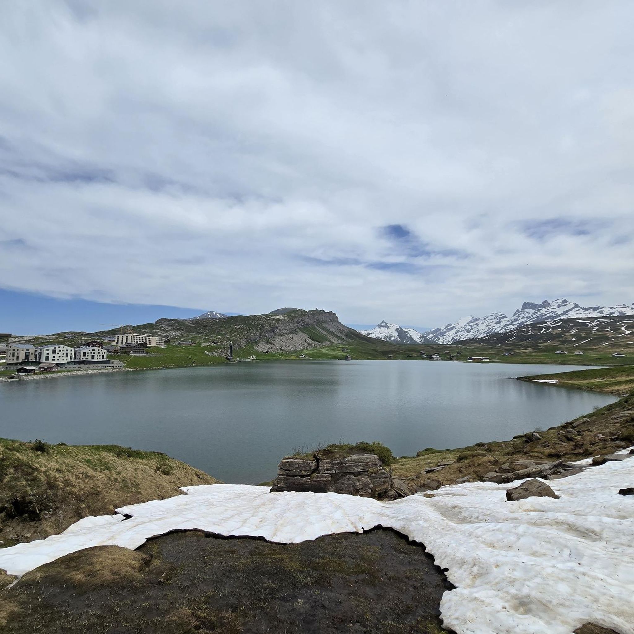
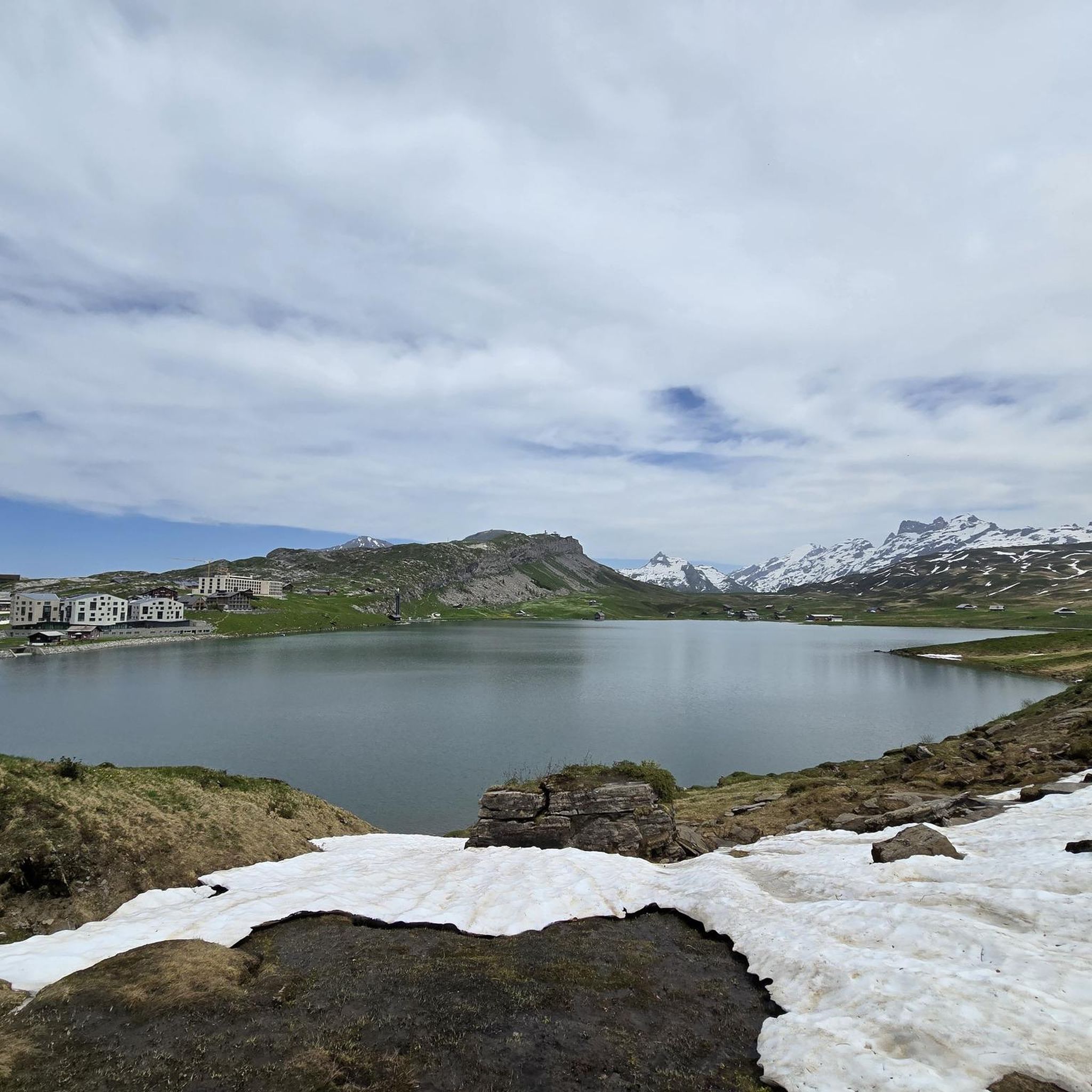
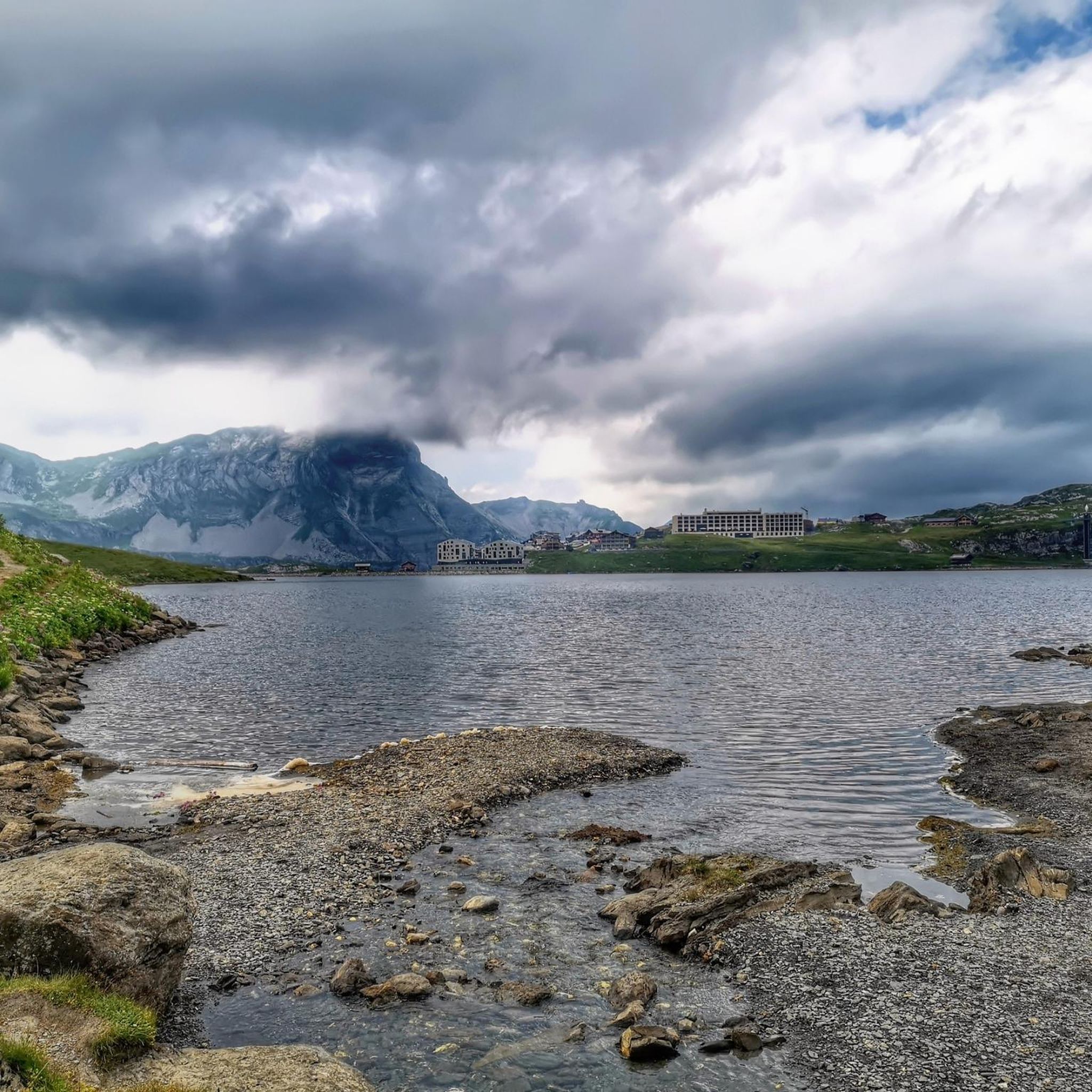
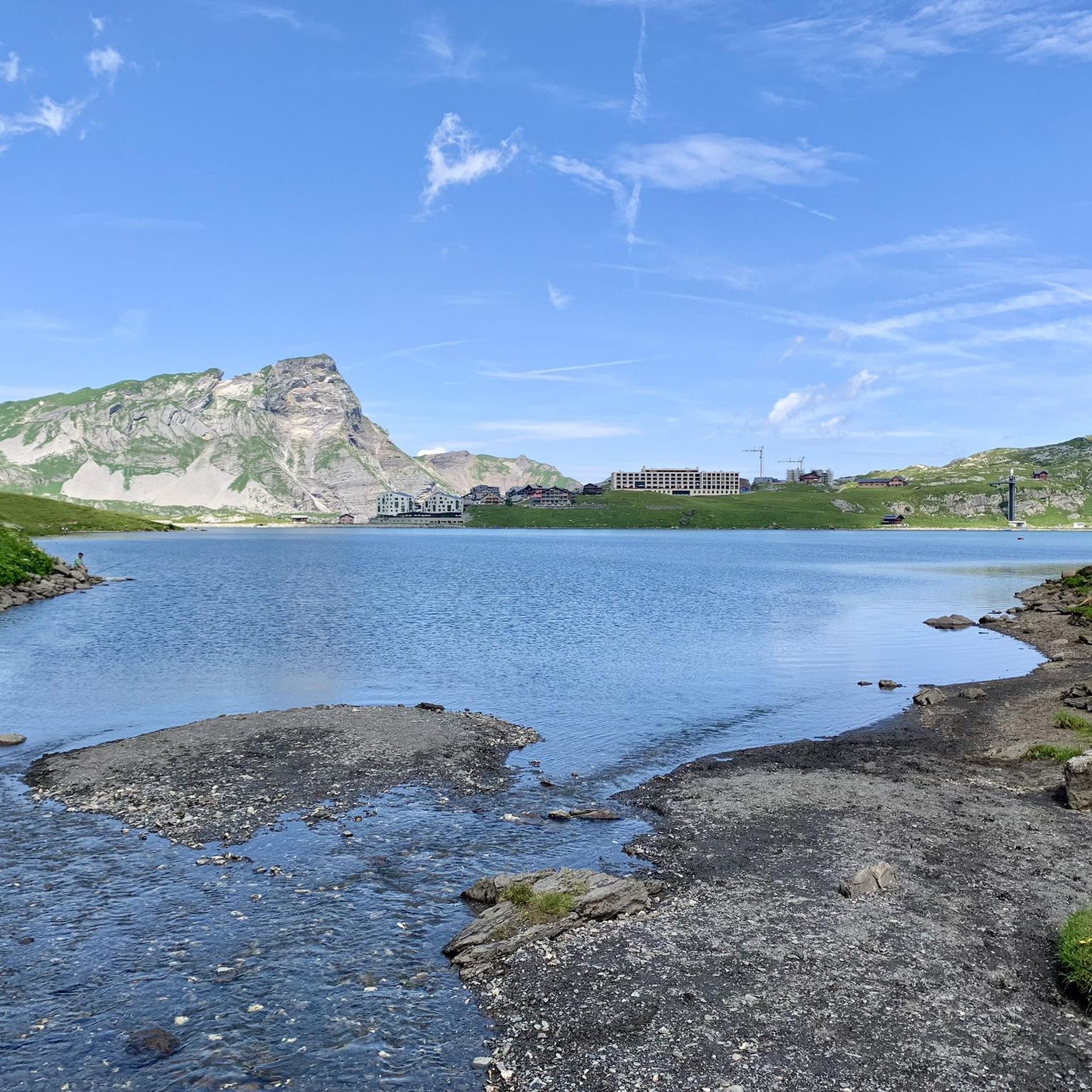
Mountaineering routes around Melchsee are situated on a high plateau in Central Switzerland, characterized by an alpine landscape with elevations between 1,900 and 2,000 meters. The region features high-quality, horizontally layered limestone rock, offering diverse climbing opportunities. Prominent natural features include picturesque mountain lakes like Melchsee, Tannensee, and Blauseeli, alongside dramatic peaks and flowery meadows. Geologically, the area is a karst region.
Best mountaineering routes around Melchsee
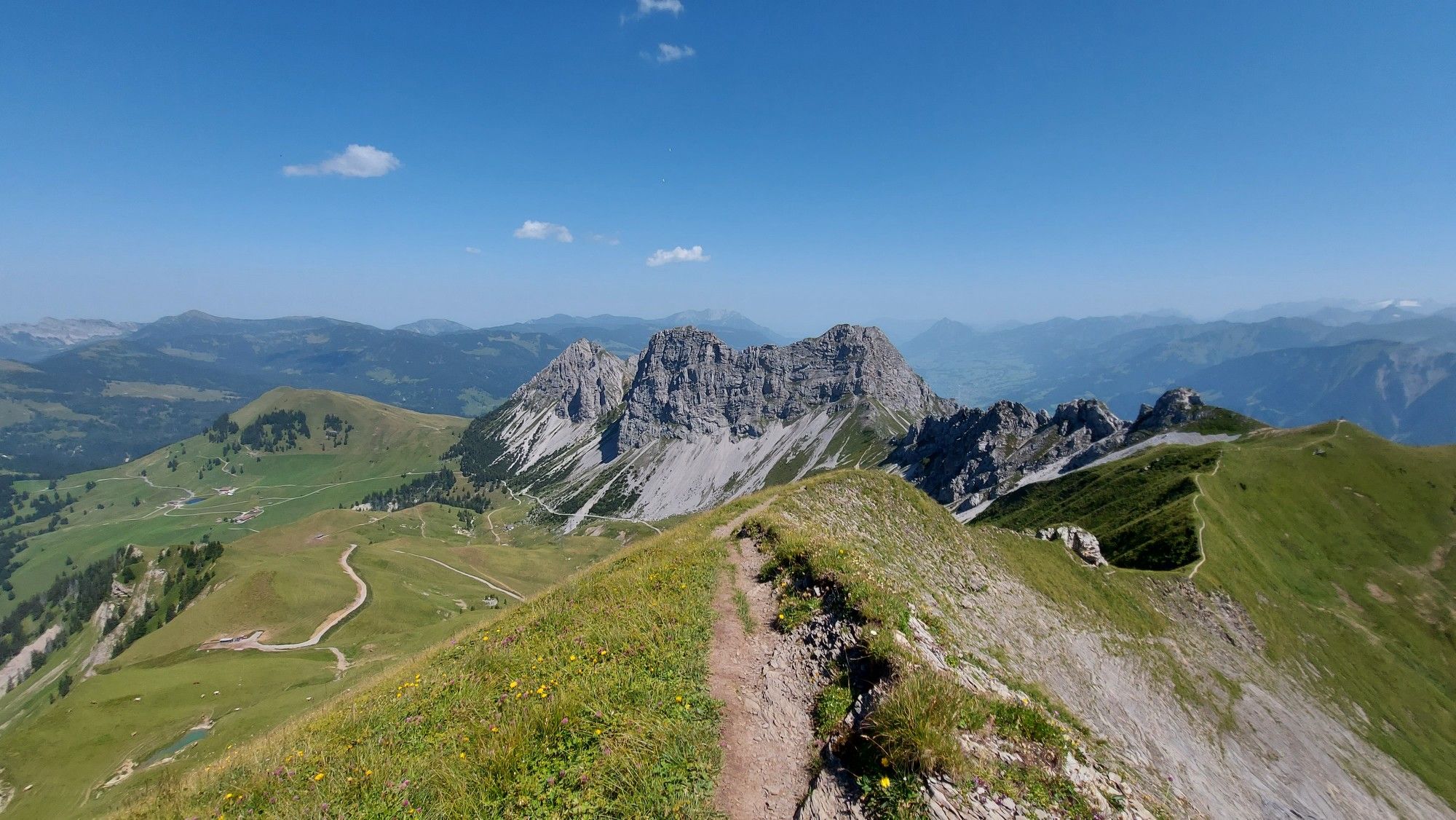
- The most popular mountaineering route is Glogghüs Ridge Traverse – Rothorn (Melchsee-Frutt) loop from Melchsee-Frutt, a 9.3 miles (14.9 km) trail that takes 6 hours 30 minutes to complete, offering a challenging alpine ridge traverse.
- Another top favourite among local mountaineers is Melchsee – Höfli loop from Melchsee-Frutt, a moderate 8.0 miles (12.8 km) path. This route provides views of the high plateau and mountain lakes.
- Local mountaineers also love the Hochstollen Summit – Abgschütz Pass (2217 m) loop from Melchsee-Frutt, a 7.0 miles (11.2 km) trail leading through alpine terrain to a summit and mountain pass, often completed in about 4 hours 25 minutes.
- Mountaineering around Melchsee is defined by alpine landscapes, mountain lakes, and limestone cliffs. The network offers options for various skill levels, from moderate paths to challenging alpine routes.
- The routes in Melchsee are highly rated by the komoot community with an average score of 4.8 stars from more than 30 reviews. More than 250 mountaineers have used komoot to explore Melchsee's varied terrain.
Last updated: May 9, 2026
5.0
(1)
16
hikers
14.9km
06:30
830m
830m
Hard mountaineering route. Very good fitness required. Sure-footedness, sturdy shoes and alpine experience required.
4.0
(1)
7
hikers
13.1km
04:28
410m
410m
Moderate mountaineering route. Good fitness required. Mostly accessible paths. Sure-footedness required.

Sign up for free
10
hikers
11.2km
04:24
580m
580m
Hard mountaineering route. Good fitness required. Sure-footedness, sturdy shoes and alpine experience required.
9
hikers
5.38km
01:58
250m
240m
Moderate mountaineering route. Great for any fitness level. Mostly accessible paths. Sure-footedness required.
6
hikers
10.8km
03:15
280m
280m
Moderate mountaineering route. Good fitness required. Mostly accessible paths. Sure-footedness required.
Get access to more routes and recommendations from other explorers.
Sign up for free
Already have an account?
Our route recommendations are based on thousands of hikes, rides, and runs completed by other people on komoot.
Start today with a free account
Your next adventure awaits.
Login or Signup


Tips from the Community

very pretty here, very pretty, very pretty
0
0


Mountain inn with large sun terrace
0
0


The Hochstollen is also easily doable with a dog. From Älggi, there are a few small, rocky sections (easily manageable for experienced dogs, T3), and from Melchsee-Frutt, everything is T2. From Käserstatt, it's even easier.
0
0
The Hochstollen is a 2,481-meter-high mountain in the Uri Alps near Melchsee-Frutt. It offers a rewarding yet challenging hike with breathtaking views of the Obwalden mountain panorama. The summit rewards with distant views as far as Titlis and Pilatus. The climb is especially popular in summer.
9
0

It is a beautiful place with excellent views and good gastronomy.
0
0
Frequently Asked Questions
How many mountaineering routes are available in the Melchsee-Frutt area?
The Melchsee-Frutt region offers a diverse network of over a dozen mountaineering routes, catering to various skill levels. These include both moderate and challenging alpine paths across the high plateau.
What kind of rock climbing opportunities are there in Melchsee-Frutt?
Melchsee-Frutt is renowned for its high-quality, horizontally layered limestone rock. The Bonistock – Chringen loop from Melchsee-Frutt, for example, is near the Bonistock area, which is Central Switzerland's largest sport climbing crag. It features around 200 well-equipped routes, ranging from beginner-friendly 3a to more advanced 7b, with many multi-pitch options.
Are there any challenging multi-pitch or alpine routes for experienced mountaineers?
Yes, beyond sport climbing, the region offers demanding alpine experiences. The Barglen area features classic alpine routes, including multi-pitch options with higher difficulty grades. For a challenging alpine tour, consider the Glogghüs Ridge Traverse – Rothorn (Melchsee-Frutt) loop from Melchsee-Frutt, which is a difficult 14.9 km trail.
What are the best times of year for mountaineering in Melchsee-Frutt?
The high altitude and south-facing crags like Bonistock make Melchsee-Frutt suitable for climbing even during hot summer months. For alpine tours, summer and early autumn generally offer the most favorable conditions, though some areas can be accessible through snow in certain conditions. Always check local weather and trail conditions before heading out.
Are there any family-friendly activities or attractions near the mountaineering routes?
Absolutely! Melchsee-Frutt is a car-free village with several family-friendly attractions. You can visit the adventure playground "Uf dr Wildi" with its farm village theme, tunnel slides, and zip lines. The "Frutt Train" offers scenic rides, and the Barbecue and Picnic Area at Melchsee is perfect for a family stop.
What natural landmarks or points of interest can I see while mountaineering in Melchsee-Frutt?
The region is characterized by stunning natural beauty. You'll encounter picturesque mountain lakes like Melchsee-Frutt, Tannensee, and Blauseeli. The high plateau offers panoramic views, and the area is geologically interesting as a karst region with numerous caves. The Hochstollen Summit – Abgschütz Pass (2217 m) loop from Melchsee-Frutt will take you through alpine terrain to a summit and mountain pass.
What do other mountaineers enjoy most about the routes in Melchsee-Frutt?
The mountaineering routes in Melchsee-Frutt are highly rated by the komoot community, with an average score of 4.8 stars. Reviewers often praise the diverse terrain, from moderate paths around the lakes to challenging alpine routes, and the breathtaking panoramic views of the Swiss Alps.
Are there any circular mountaineering routes in Melchsee-Frutt?
Yes, many of the mountaineering routes in Melchsee-Frutt are designed as loops, allowing you to start and end at the same point. Examples include the Melchsee – Höfli loop from Melchsee-Frutt, which offers views of the high plateau and mountain lakes, and the Abgschütz Pass (2217 m) – Hochstollen Summit loop from Melchsee-Frutt for a more difficult option.
Is it possible to reach Melchsee-Frutt by public transport for mountaineering trips?
Yes, Melchsee-Frutt is accessible by public transport. You can typically reach the area via a combination of train and postbus services. For detailed schedules and connections, it's best to check the official Swiss public transport website or local tourism information.
Where can I find parking for mountaineering routes in Melchsee-Frutt?
While Melchsee-Frutt village itself is car-free, there are parking facilities available at the base of the mountain, from where you can take a cable car up to the plateau. It's advisable to check local signage or the Melchsee-Frutt tourism website for specific parking locations and fees.
Are there any easy or beginner-friendly mountaineering options in Melchsee-Frutt?
While many routes are challenging, the region does offer options for those new to mountaineering or looking for a less strenuous experience. The Bonistock – Chringen loop from Melchsee-Frutt is a moderate 5.3 km route, and the Bonistock climbing area has sectors specifically designed for beginners and families with routes between 3a and 4c.
What are the typical elevations for mountaineering in Melchsee-Frutt?
The mountaineering routes in Melchsee-Frutt are situated on a high plateau, with elevations generally ranging between 1,900 and 2,000 meters above sea level. Some routes, like the Hochstollen Summit – Abgschütz Pass (2217 m) loop from Melchsee-Frutt, will take you to higher points such as the 2217m Abgschütz Pass.
Most popular routes around Melchsee
Most popular attractions around Melchsee

Get inspired with the komoot mobile app


Explore more
Browse the best Mountain Hikes & Routes in other regions.
