The best running trails around Bannalpsee
4.4
(15)
1,350
runners
44
runs
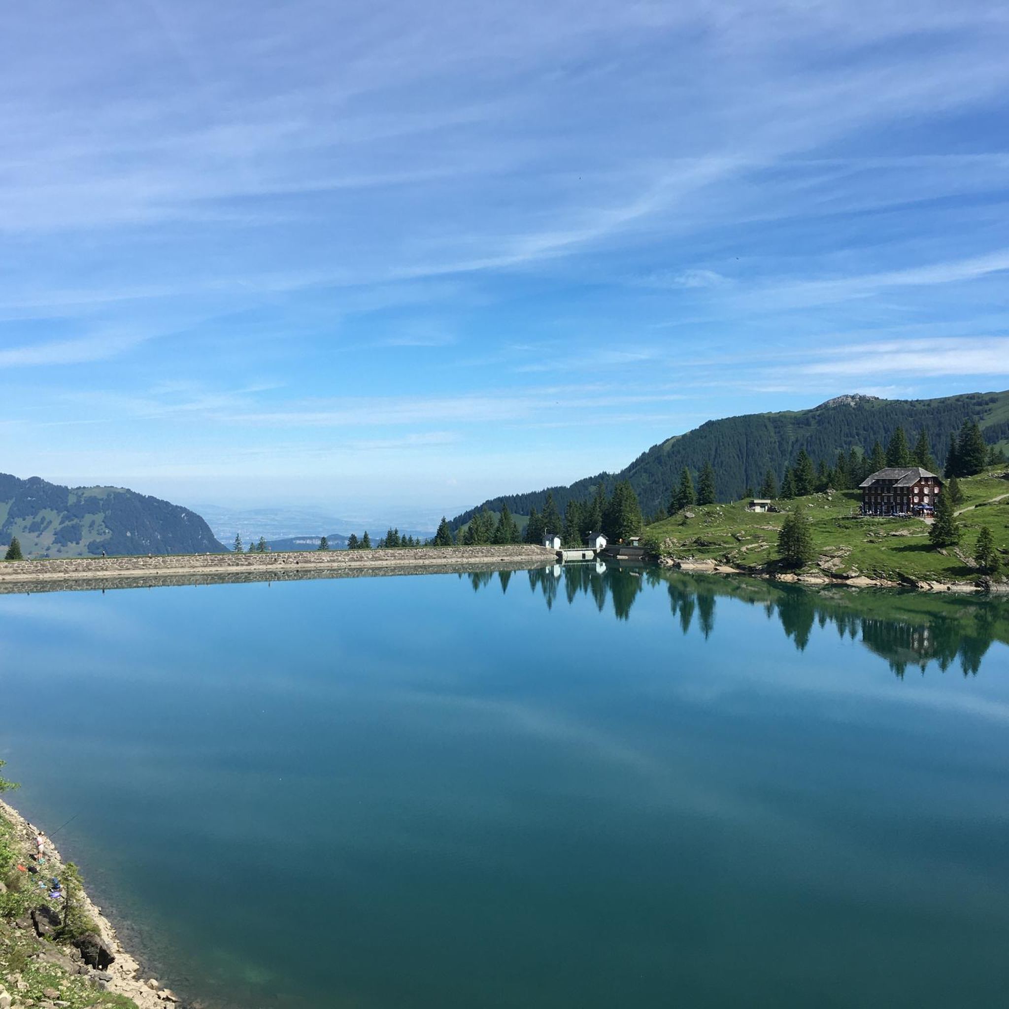
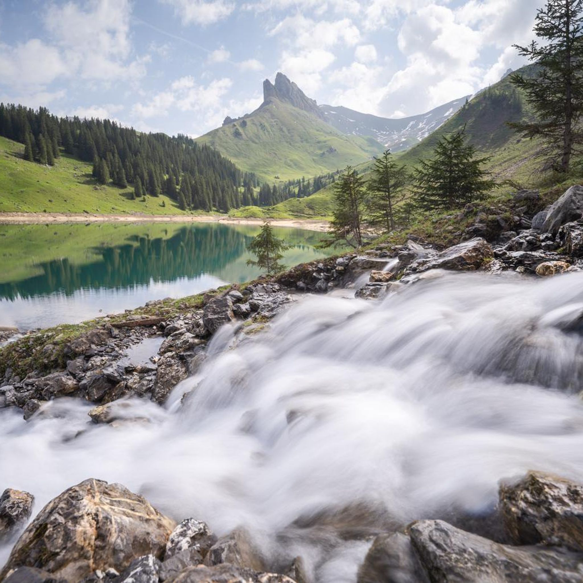
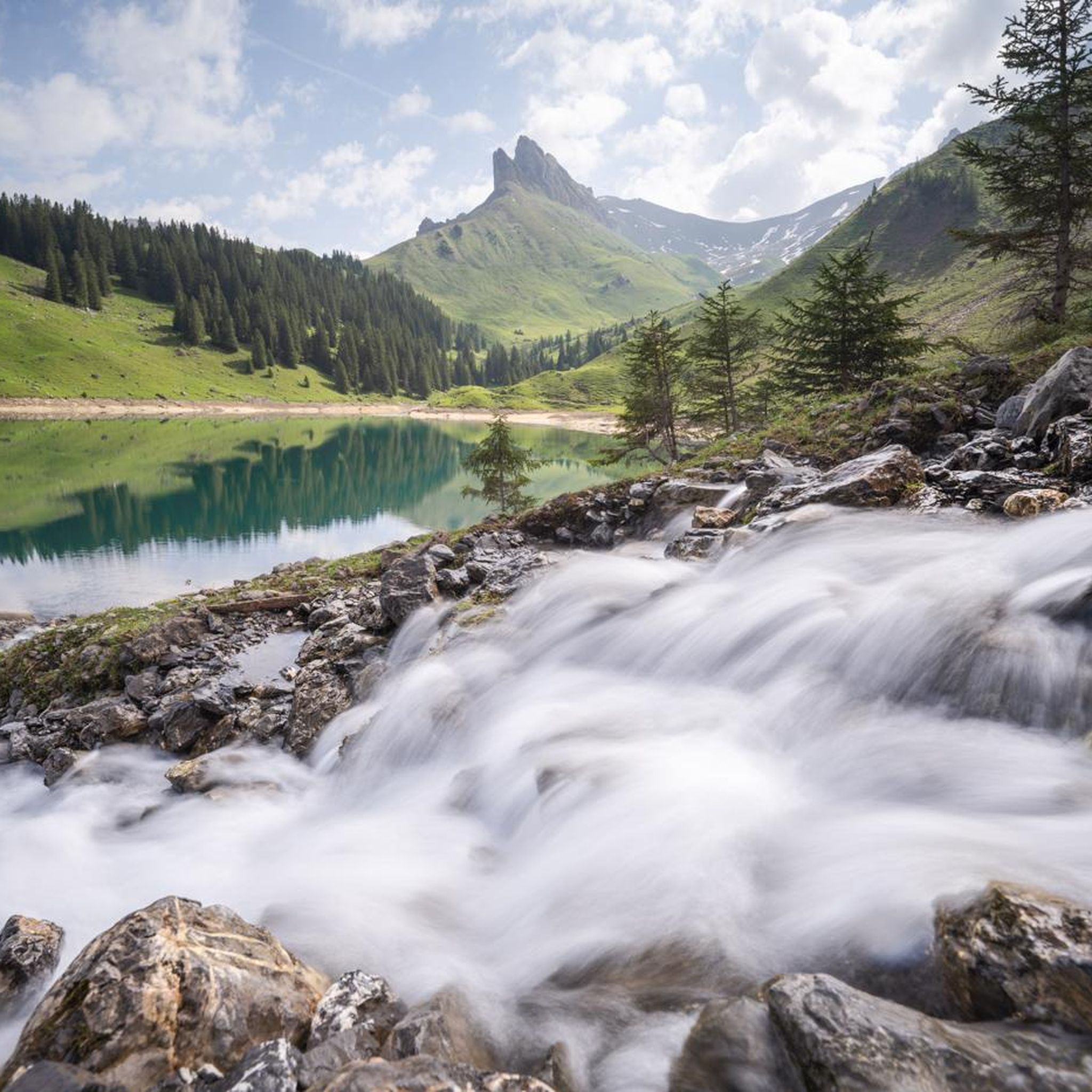
Jogging routes around Bannalpsee are set within an idyllic mountain reservoir area, characterized by the emerald-green lake and surrounding steep Swiss Alps. The region features diverse alpine flora and varied trails, including wide dirt paths and some sections with uneven terrain. This environment provides a serene setting for running, with options ranging from gentle loops to more challenging ascents into the mountains.
Best jogging routes around Bannalpsee
- The most popular jogging route is Eugenisee – Titlis cable car valley station…
Last updated: October 1, 2026
16
runners
11.2km
02:12
850m
850m
Hard run. Very good fitness required. Sure-footedness, sturdy shoes and alpine experience required.
4.5
(2)
169
runners
15.1km
01:37
180m
180m
Hard run. Very good fitness required. Mostly paved surfaces. Suitable for all skill levels.

4.5
(2)
126
runners
14.5km
02:29
830m
830m
Hard run. Very good fitness required. Sure-footedness, sturdy shoes and alpine experience required.
4.0
(2)
152
runners
10.9km
01:14
180m
180m
Moderate run. Good fitness required. Mostly paved surfaces. Suitable for all skill levels.
5.0
(2)
98
runners
10.9km
01:10
120m
120m
Moderate run. Good fitness required. Mostly paved surfaces. Suitable for all skill levels.
Get access to more routes and recommendations from other explorers.
Already have an account?
Our route recommendations are based on thousands of hikes, rides, and runs completed by other people on komoot.
Start today with a free account
Your next adventure awaits.
Tips from the Community

The current Sbrinz cheese used to be transported from Lucerne via Engelberg towards Italy and exchanged there for southern delicacies such as olive oil or red wine. The smugglers Engelbert and his mule Schmuggli show you on Schmuggli's Sbrinz Trail how they try to solve six tricky riddles between Trübsee and Alp Untertrübsee, while remaining undiscovered by customs officers and witches. The trail is a great way for families to spice up the hike from Trübsee to Engelberg. Prizes can be won with the correct solution word: https://www.schmugglis-erlebniswelt.ch/de/sbrinz#start
0
0


Beautiful barbecue area with adjacent playground
0
0

Here you will find the main signpost of the Trübsee cable car station.
2
1
You can reach the Trübsee station from Engelberg with the 8-seater gondola lift Titlis Xpress. This ride takes about ten minutes. https://www.titlis.ch/de/informationen/fahrplan
3
0

The Trüebsee (standard language: Trübsee, e.g. official name of the bus stop/station) is a mountain lake on the Alp Ober Trüebsee at an altitude of 1763 m above sea level in Central Switzerland. It lies between the municipality of Engelberg and the Titlis mountain in the canton of Nidwalden, near the Jochpass (2207 m above sea level). The Ober Trüebsee-Jochpass region within the municipality of Wolfenschiessen is a developed alpine tourist area. https://de.m.wikipedia.org/wiki/Tr%C3%BCebsee
2
0
Frequently Asked Questions
How many running routes are available around Bannalpsee?
The Bannalpsee region offers a wide selection of running routes, with over 45 different trails available for jogging. These range from moderate loops to more challenging mountain ascents.
Are there easy running options for beginners or casual joggers?
Yes, Bannalpsee has options for all skill levels. The Eugenisee – Titlis cable car valley station loop from Engelberg is a moderate 6.6-mile (10.6 km) route with minimal elevation gain, making it suitable for those looking for a less strenuous run. The circular trail directly around Bannalpsee is also a popular and easily accessible option, typically less than 5 kilometers with a wide dirt path.
Can I find circular running routes around Bannalpsee?
Absolutely. The most prominent circular route is the trail directly around Bannalpsee itself, which is less than 5 kilometers and offers stunning views of the emerald-green lake. Other popular loops include the Tätschbachfall Waterfall – Fürenalp Valley Station loop from Engelberg and the Berggasthaus Bannalpsee – Haghütte Alpine Dairy loop from Bannalpsee, both offering varied terrain and beautiful scenery.
Are the running trails around Bannalpsee suitable for families?
Yes, Bannalpsee is known for its family-friendly options. The circular trail around the lake is generally easy and suitable for families. Additionally, the Zwärgliweg Bannalp is a themed trail with discovery stations that leads past the lake and includes picnic areas with fireplaces, perfect for a family outing that can include some light jogging.
Are dogs allowed on the jogging trails in Bannalpsee?
While the region is generally welcoming to outdoor enthusiasts, specific regulations for dogs on trails can vary. It's always recommended to keep dogs on a leash, especially in alpine areas where livestock may be present, and to check local signage for any specific restrictions.
What kind of scenery or natural features can I expect to see while jogging?
Jogging around Bannalpsee offers breathtaking scenery. You'll experience the idyllic emerald-green mountain reservoir, reflections of the majestic Swiss Alps, and diverse alpine flora. Trails often wind through beautiful mountain landscapes, providing a tranquil and highly photogenic environment.
How do I get to the Bannalpsee running trails, and is there parking?
Bannalpsee is easily accessible by cable car from Oberrickenbach. You can be dropped off for a short walk to the lake or directly at the lakeshore. For those driving, parking is typically available at the cable car station in Oberrickenbach, from where you can take the cable car up to the starting points of the trails.
What is the best time of year to go jogging in Bannalpsee?
The best season for jogging in Bannalpsee is generally from late spring to early autumn (May to October), when the trails are clear of snow and the alpine flora is in bloom. During these months, the weather is typically mild, offering ideal conditions to enjoy the stunning natural beauty.
Are there places to rest or get refreshments along the routes?
Yes, along some of the trails, you'll find welcoming mountain huts such as Chrüzhütte and Berggasthaus Bannalpsee. These establishments provide excellent opportunities for rest and refreshments, allowing you to refuel and enjoy local hospitality amidst your run. Picnic areas with fireplaces are also available on certain routes.
What do other runners say about their experience jogging in Bannalpsee?
The running routes in Bannalpsee are highly rated by the komoot community, with an average score of 4.2 stars from over 13 reviews. Runners often praise the stunning natural beauty, the peaceful atmosphere, and the variety of trails suitable for different fitness levels, making it a serene escape.
Are there any longer or more challenging running routes for experienced runners?
Yes, for experienced runners seeking a greater challenge, Bannalpsee offers more demanding trails. Options include routes with significant elevation gain, such as the 7.6-mile loop (Bannalper Schonegg – View of Bannalpsee) through alpine terrain, or trails ascending higher into the peaks like climbing the Chaiserstuehl. The Berggasthaus Bannalpsee – Haghütte Alpine Dairy loop from Bannalpsee is a difficult 7.0-mile (11.2 km) trail with over 800 meters of elevation gain.
Are there any specific landmarks or points of interest to look out for?
Beyond the beautiful Bannalpsee itself, you can look out for the Tätschbachfall Waterfall, which is featured on the Tätschbachfall Waterfall – Fürenalp Valley Station loop from Engelberg. The region is also known for its magnificent and rare alpine flora, and the Zwärgliweg Bannalp offers discovery stations for a unique experience.
What is the typical terrain like on the running routes around Bannalpsee?
The terrain around Bannalpsee is varied. Many routes feature wide dirt paths, especially around the lake itself. However, some sections may have lumpy, uneven terrain. Higher alpine trails can involve more challenging surfaces with significant elevation changes, characteristic of the steep Swiss Alps.
Most popular routes around Bannalpsee

Get inspired with the komoot mobile app


Explore more
Browse the best Running Trails & Routes in other regions.
