The best running trails around Lake Robiei
5.0
(1)
208
runners
10
runs
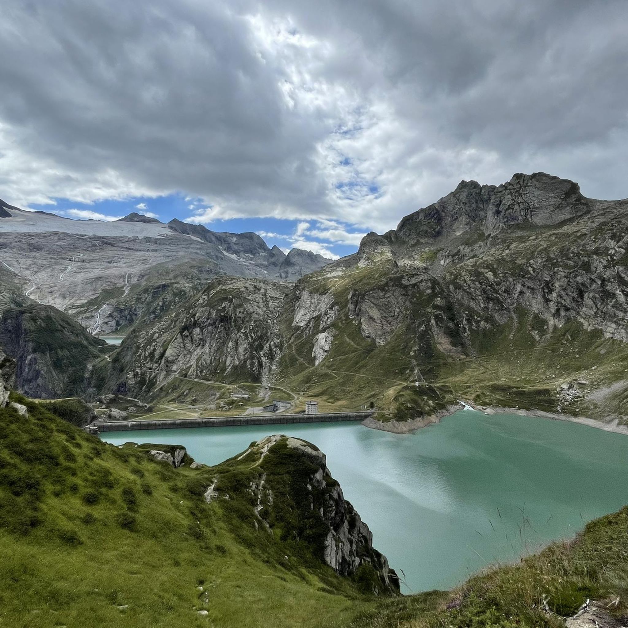
Jogging around Lake Robiei offers routes through a grand granite and gneiss landscape, characterized by dramatic rock walls and wild nature. The region features the impressive Basòdino glacier and a network of alpine lakes, providing diverse terrain for runners. Trails often lead past mountain pastures and offer views of a majestic mountain wreath, including Cristallina mountain.
Best jogging routes around Lake Robiei
- The most popular jogging route is Robiei – Lago di Robièi loop from Lago dei Cavagnöö, a…
Last updated: October 1, 2026
2
runners
3.73km
00:27
100m
90m
Easy run. Great for any fitness level. Mostly paved surfaces. Suitable for all skill levels.
11.8km
02:29
750m
750m
Hard run. Very good fitness required. Sure-footedness, sturdy shoes and alpine experience required.

8
runners
10.8km
01:57
600m
600m
This difficult 6.7-mile (10.8 km) jogging loop from Ronco in the Val Bedretto offers challenging terrain and alpine views.
7
runners
13.9km
02:27
720m
720m
This difficult 8.7-mile (13.9 km) jogging loop in Val Bedretto offers high alpine views, Capanna Piansecco, and Laghetto delle Pigne.
4
runners
11.1km
02:05
710m
710m
Hard run. Very good fitness required. Sure-footedness, sturdy shoes and alpine experience required.
Get access to more routes and recommendations from other explorers.
Already have an account?
Our route recommendations are based on thousands of hikes, rides, and runs completed by other people on komoot.
Start today with a free account
Your next adventure awaits.

Tips from the Community


A great hiking area with several reservoirs and the glacier
0
0

The pass between Italy and Switzerland. From the Maria Luisa Refuge, the route is easy and can also be used by mountain bikers.
1
1

Border Excursion 🇮🇹🇨🇭 to the San Giacomo Pass 🚴
1
0

The Capanna Cristallina is an alpine refuge located in the Canton of Ticino, in the Lepontine Alps, at almost 2,600 meters above sea level. It is open all year round and has beds, showers, refreshments and electricity. It can be reached from various locations, including Ossasco, Robiei and the Narèt dams. It is a starting point for ascents and traverses, especially for experienced runners, given the terrain and altitude conditions.
1
1
The Naret pass is an Alpine pass that connects Val Sambuco with Val Torta and Val Bedretto in the Canton of Ticino. It is located at the foot of Pizzo del Naret, at 2,438 meters above sea level. Nearby you can admire the Naret lakes and the Cristallina hut, offering various trail running possibilities especially for expert runners, given the terrain and altitude conditions.
1
0
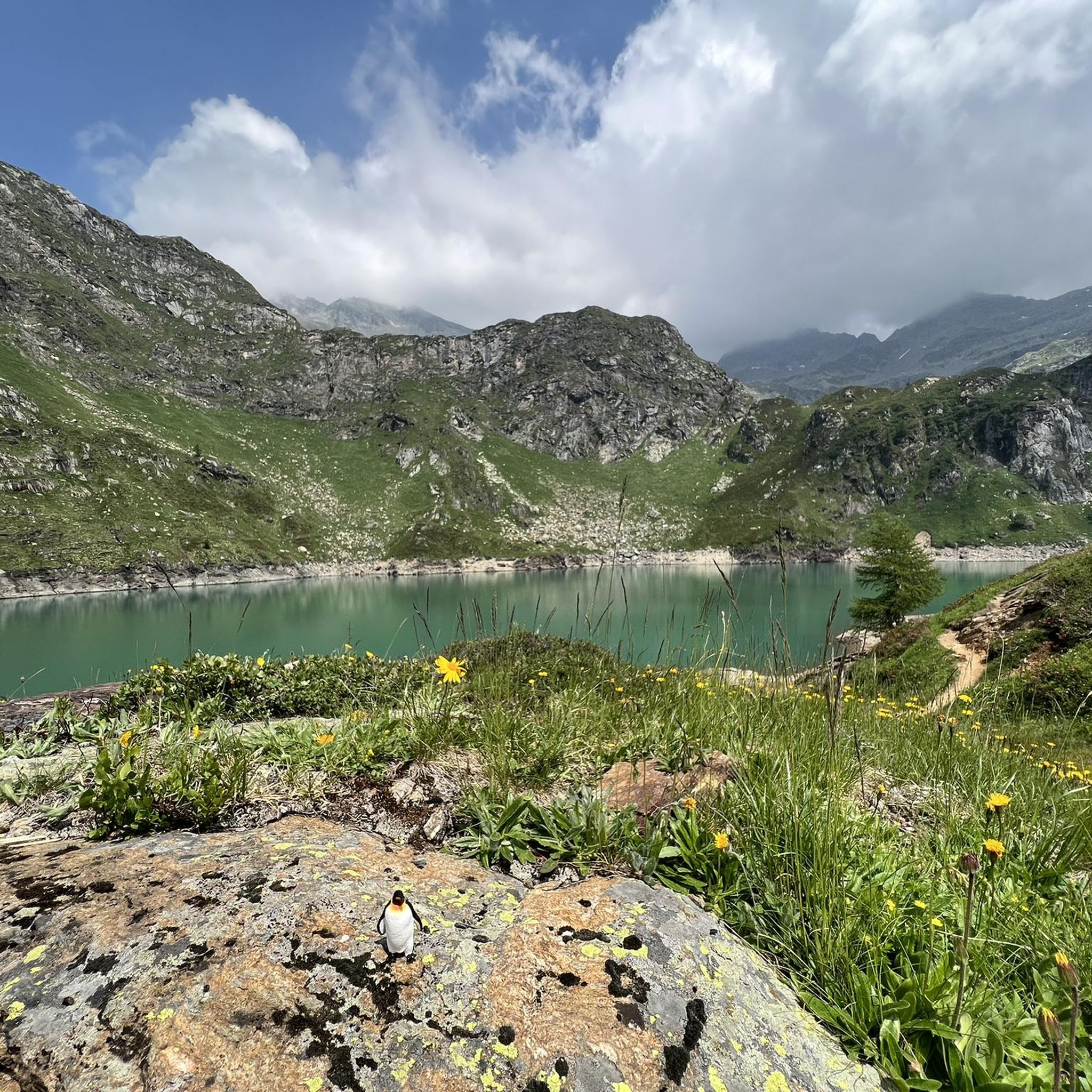
Lake Naret is an alpine lake in the Canton of Ticino. It is located at an altitude of 2310 meters above sea level and is formed by the Naret dam, which uses the waters of the Maggia river to produce electricity. It is surrounded by a spectacular landscape, with mountains, forests and other lakes.
1
0
Frequently Asked Questions
How many running routes are available around Lake Robiei?
There are over 10 dedicated running routes around Lake Robiei, offering a variety of experiences from easy loops to challenging mountain runs. The komoot community has explored these trails over 400 times, praising the diverse terrain.
Are there any easy or beginner-friendly running paths near Lake Robiei?
Yes, for those seeking an easier run, the Robiei – Lago di Robièi loop from Lago dei Cavagnöö is an excellent choice. This 2.3-mile (3.7 km) trail circles the reservoir, providing beautiful views of the lake and distant glaciers, and can be completed in about 27 minutes.
What kind of landscapes can I expect to see while running around Lake Robiei?
Runners around Lake Robiei will experience a grand granite and gneiss landscape, characterized by dramatic rock walls and wild nature. You'll encounter the impressive Basòdino glacier, a network of alpine lakes, and enjoy views of a majestic mountain wreath, including Cristallina mountain. Some paths even offer glimpses of perennial snows and glistening crystals.
Are there any challenging trail running options in the Lake Robiei area?
Absolutely. For experienced trail runners, routes like the Run along the Val Torta between Capanna Cristallina and Lago del Naret offer a significant challenge. This difficult 7.3-mile (11.8 km) path leads through high alpine terrain with substantial elevation changes. Another demanding option is the Four Sources Trail Loop, a 6.7-mile (10.8 km) route with varied natural paths and alpine features.
Can I bring my dog on the running trails around Lake Robiei?
Many trails in the Lake Robiei region are suitable for dogs, but it's always recommended to keep them on a leash, especially in areas with wildlife like marmots, ibexes, and chamois, or near grazing alpine pastures. Always check specific trail regulations before heading out.
What are some notable points of interest or attractions along the running routes?
Beyond the stunning natural scenery, you can run past the impressive dam at Lake Robiei, which serves as a starting point for many trails. Paths also lead to the Basòdino Hut and through alpine pastures like Lielp, where local cheese, butter, and ricotta are produced. The region is also known for its network of alpine lakes, including Lago del Zött, Lago Bianco, Lago Nero, Lago dei Cavagnöö, Lago di Matorgn, and Lago Sfundau.
How can I reach Lake Robiei to access the running trails?
Lake Robiei is easily accessed via a cable car from San Carlo, which provides spectacular panoramic views during the 15-minute ascent to 1900 meters. For those preferring a longer approach, a two-hour hike from San Carlo is also an option.
Are there any circular running routes around Lake Robiei?
Yes, several circular routes are available. The Robiei – Lago di Robièi loop from Lago dei Cavagnöö is a popular easy loop around the main reservoir. Another option is the 'Lago di Robièi – Lago Bianco loop,' an easy 6.5 km path connecting two notable lakes, offering diverse perspectives of the alpine environment.
What is the best time of year to go jogging around Lake Robiei?
Given its alpine location, the best time to jog around Lake Robiei is typically during the warmer months, from late spring to early autumn, when the trails are free of snow and the cable car operates. Always check local conditions and weather forecasts before your visit.
Are there any facilities or places to rest/eat near the running paths?
Yes, the Basòdino Hut is a notable facility along some of the hiking and running paths, offering a place to rest. Additionally, alpine pastures like Lielp produce local dairy products, providing a unique regional experience. The cable car station at Robiei also typically has facilities.
What do other runners say about the trails in Lake Robiei?
The running routes in Lake Robiei are highly rated by the komoot community, with an average score of 5.0 stars from 3 reviews. Runners often praise the rugged granite landscape, the numerous alpine lakes, and the breathtaking views of the Basòdino glacier, highlighting the diverse terrain suitable for various ability levels.
Is there parking available for runners at Lake Robiei?
Parking is typically available at the base station of the cable car in San Carlo, which is the primary access point for reaching Lake Robiei and its trails. From there, you can take the cable car up or opt for a longer hike to the starting points of the routes.
Most popular routes around Lake Robiei

Get inspired with the komoot mobile app


Explore more
Browse the best Running Trails & Routes in other regions.
