The best walks and hikes around Ballyholly
4.3
(12)
104
hikers
9
hikes
Hikes around Ballyholly explore the nearby woodlands and rolling hills of the wider region. The area's terrain is primarily defined by established forest paths, such as those in Learmount Forest and Ness Country Park. These routes feature gentle gradients and pass through mixed woodland, with some trails ascending to higher ground for more expansive views.
Best hiking trails around Ballyholly
- The most popular hiking route is Loughermore loop from Gortnahey, a 6.5 mile (10.5 km) trail that takes around…
Last updated: June 29, 2026
2
hikers
2.82km
00:45
30m
30m
Easy hike. Great for any fitness level. Easily-accessible paths. Suitable for all skill levels.
4.8
(4)
30
hikers
8.48km
02:20
140m
140m
Moderate hike. Good fitness required. Easily-accessible paths. Suitable for all skill levels.

Sign up for free
5.0
(1)
26
hikers
3.57km
00:58
50m
50m
Easy hike. Great for any fitness level. Easily-accessible paths. Suitable for all skill levels.
4.8
(4)
23
hikers
Moderate hike. Good fitness required. Easily-accessible paths. Suitable for all skill levels.
3.0
(1)
6
hikers
10.5km
03:05
300m
300m
Moderate hike. Good fitness required. Easily-accessible paths. Suitable for all skill levels.
Get access to more routes and recommendations from other explorers.
Sign up for free
Already have an account?
Our route recommendations are based on thousands of hikes, rides, and runs completed by other people on komoot.
Start today with a free account
Your next adventure awaits.
Login or Signup
Popular around Ballyholly

Tips from the Community

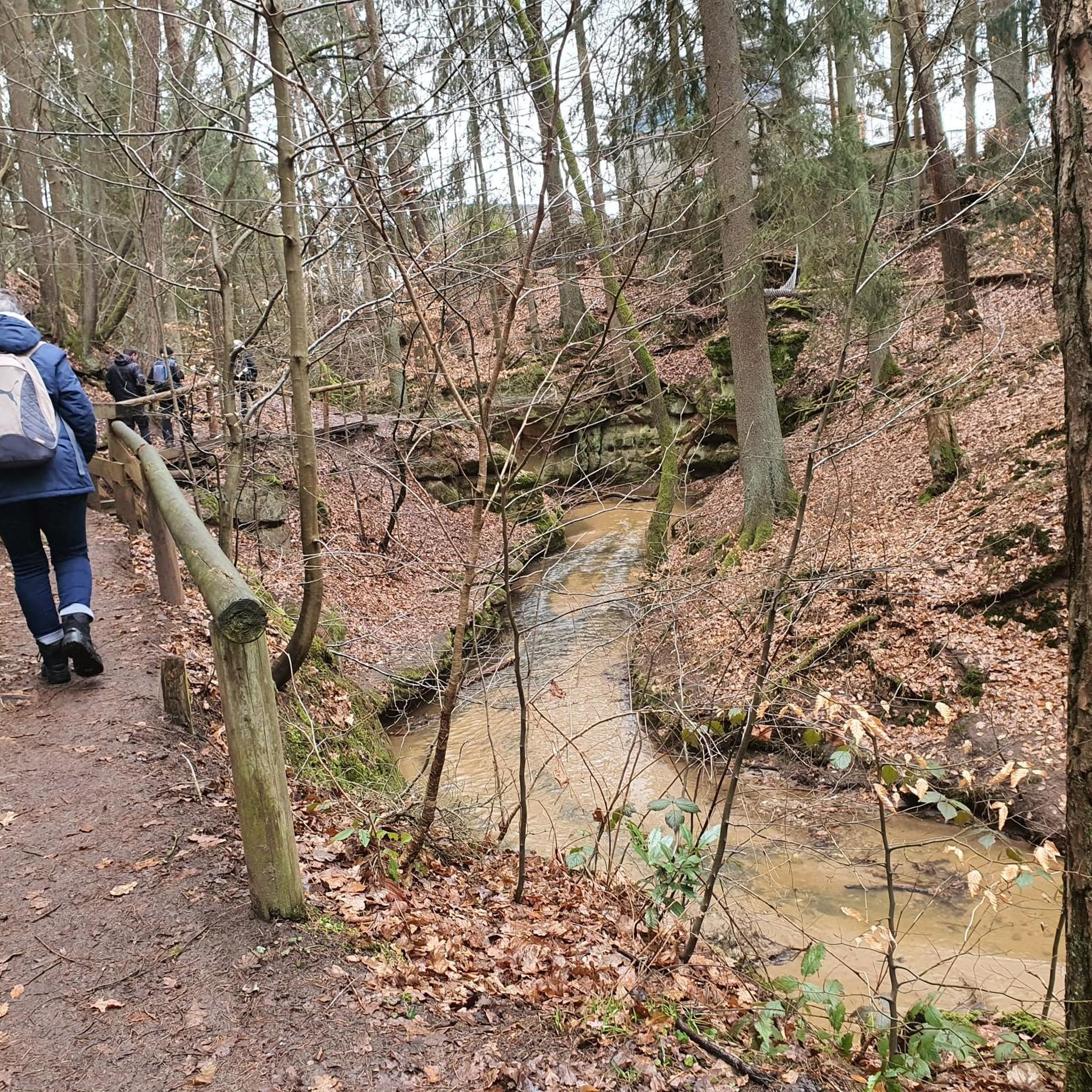
Learmount Wood is located at the foothills of the northern face of the Sperrins in Northern Ireland. The forest features a wonderful diversity of tree species, including some that have been there for over 100 years. It's a beautiful place for a stroll, featuring a stream and an abandoned mansion dating back to the 1830s.
1
0
Learmount Castle is a stunning Tudor-Gothic mansion that was built in the 1830s by Henry Barré Beresford. The house is now abandoned, but you can still use your imagination to picture its grandeur when it was in all its glory.
2
0

Tudor-Gothic house, built in 1830 by Henry Barré Beresford. Situated in Learmont Park there are some good gravel and mixed terrain tracks to explore.
0
0
Frequently Asked Questions
Are there any easy, family-friendly walks in the Ballyholly area?
Yes, the region offers several accessible trails perfect for families. A great option is the Learmount Forest Walk via Learmount Castle — Sperrins, a short and relatively flat route. For another gentle experience, the well-maintained paths at Castleblagh Forest Recreational Area are highly regarded by visitors and suitable for all fitness levels.
Can I bring my dog on the hiking trails around Ballyholly?
Many of the woodland and forest trails in the area are suitable for walking with dogs. However, it's essential to keep them on a lead, especially in areas with wildlife or near farmland. Always check local signage at trailheads like Castleblagh Woods for specific regulations.
Are there any circular or looped hiking routes available?
Yes, there are several looped walks so you can end your hike where you started. The Ness Country Park loop from Claudy is a pleasant circular trail. The Castleblagh Loop Walk is another popular choice, offering a 6-kilometer circuit through ancient woodland.
What kind of scenery can I expect on the trails?
The hikes around Ballyholly are characterized by lush, ancient woodlands and the rolling foothills of the Nagle Mountains. You'll encounter a rich variety of trees like birch and holly, and in spring, the forest floors are often carpeted with bluebells and wild garlic. Many trails also run near the scenic River Blackwater.
Where can I find a good viewpoint on a hike near Ballyholly?
For impressive views, consider a walk in Kilbarry Wood Forest Recreational Area. While it involves some uphill sections, hikers are rewarded with spectacular scenery from behind the trees. It's often described as a quiet hidden gem.
Are there any trails with waterfalls in the region?
Yes, if you're looking for a waterfall, the Ballard Waterfall Forest Recreational Area is the place to go. The trek to the waterfall is a highlight for many visitors and is considered well worth the effort.
What is the typical difficulty of hikes around Ballyholly?
The trails in this area are generally split between easy and moderate difficulty. You'll find gentle, shorter walks perfect for a casual outing, as well as more challenging routes with significant elevation gain, such as the Loughermore loop from Gortnahey, which involves an ascent of over 300 meters.
What do other hikers say about the trails in Ballyholly?
The area is well-regarded by the komoot community, with an average rating of 4.3 stars. Hikers often praise the well-maintained paths through the quiet woodlands and the variety of routes available, from gentle riverside strolls to more strenuous hill walks.
Is there parking available at the main trailheads?
Most of the main recreational areas, such as Castleblagh Forest and Ness Country Park, have designated parking areas near the trailheads. However, these can be small and may fill up on sunny weekends, so arriving earlier in the day is a good idea.
How many hiking trails are there to choose from?
There are over 10 curated hiking routes around Ballyholly available on komoot. These range from short, easy walks to longer, more demanding hikes, providing plenty of options to explore the region's woodlands and hills.
Can I access the hiking trails using public transport?
Accessing the trailheads directly via public transport can be challenging, as many are in rural locations. The most convenient way to reach the start of most hikes is by car. If you plan to use public transport, it's best to check local bus services to nearby towns like Fermoy or Mallow and arrange a taxi from there.
Are there any long-distance trails that pass through the area?
Yes, a section of The Blackwater Way, which is a 94-kilometer national waymarked trail, passes through the region, specifically through Castleblagh Woods. This offers an opportunity for hikers looking to tackle a portion of a longer, more challenging route.
Most popular routes around Ballyholly

Get inspired with the komoot mobile app


Explore more
Browse the best Hikes in other regions.
