The best walks and hikes around Lake Lucendro
4.7
(1003)
8,347
hikers
119
hikes
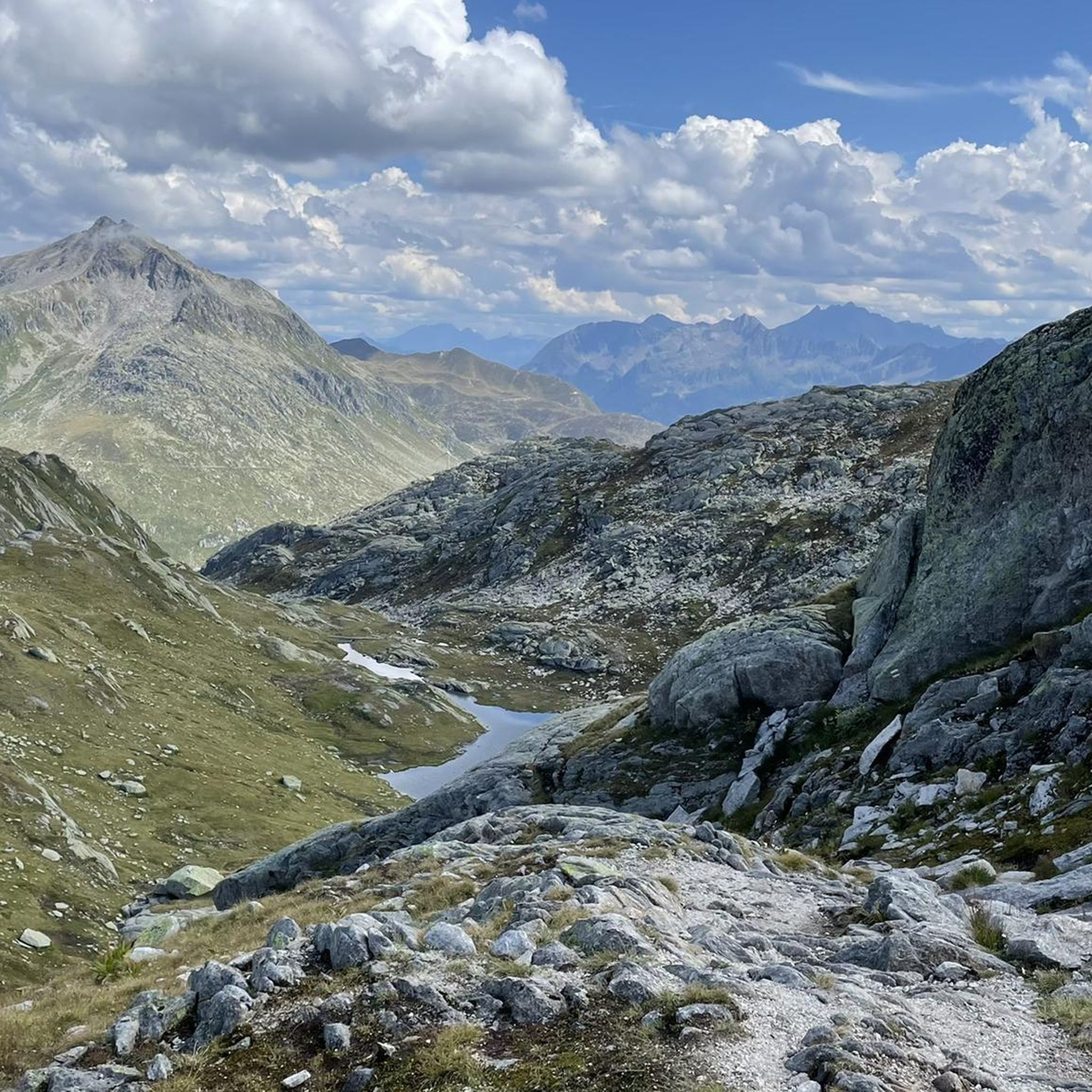
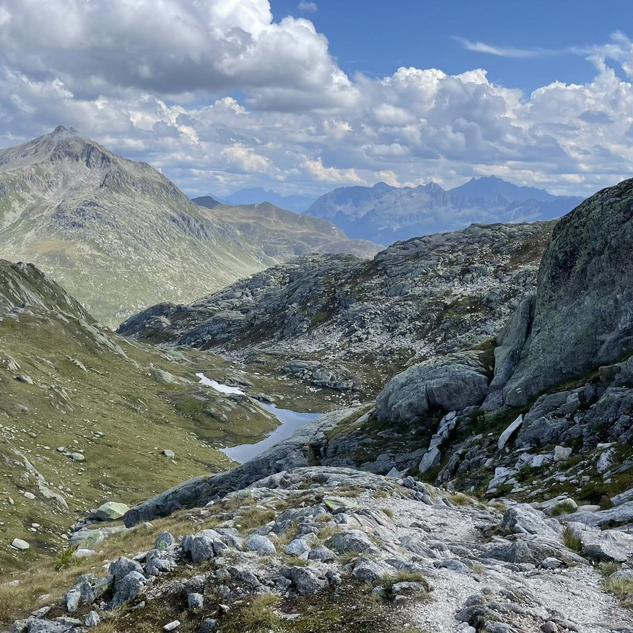
Hiking around Lake Lucendro offers a high-alpine environment characterized by rugged mountain backdrops and distinct geological formations. The region features an artificial lake, Lago di Lucendro, situated at 2,131 meters above sea level, with the Lucendro Dam as a prominent man-made structure. Hikers are treated to panoramic views of the Swiss Alps and the tranquil, turquoise waters of the reservoir. The area provides diverse terrain, from tranquil lake shores to more challenging mountain paths, all set within the historic Gotthard…
Last updated: September 27, 2026
4.1
(10)
49
hikers
Easy hike. Great for any fitness level. Easily-accessible paths. Suitable for all skill levels.
4.7
(3)
18
hikers
3.85km
01:10
130m
130m
Easy hike. Great for any fitness level. Easily-accessible paths. Suitable for all skill levels.

4.0
(1)
44
hikers
8.88km
03:15
400m
400m
Moderate hike. Good fitness required. Mostly accessible paths. Sure-footedness required.
4.8
(218)
1,115
hikers
10.4km
03:59
450m
450m
Moderate hike. Good fitness required. Mostly accessible paths. Sure-footedness required.
4.5
(37)
181
hikers
9.36km
02:45
270m
270m
Moderate hike. Good fitness required. Easily-accessible paths. Suitable for all skill levels.
Get access to more routes and recommendations from other explorers.
Already have an account?
Our route recommendations are based on thousands of hikes, rides, and runs completed by other people on komoot.
Start today with a free account
Your next adventure awaits.


Tips from the Community

„Santa Barbara auf dem St. Gotthard“ refers to Saint Barbara, the patron saint of miners, whose veneration played a central role throughout the Gotthard Massif – especially during the construction of the tunnels.
1
0
The old hospice on the Gotthard Pass was converted and extended into a 3-star hotel between 2008 and 2010. Architects Miller & Maranta and civil engineers Conzett Bronzini Gartmann created, in close collaboration, a modern structure that appears to have always existed in this location. It integrates naturally into the spatial and historical context, and its simplicity is reflected in the architecture and the supporting structure.
1
0

This is probably the symbol of this mythical pass.
5
0

The Gotthard Pass is one of Switzerland's most famous and historic Alpine passes. Located at an altitude of 2,106 meters above sea level in the Lepontine Alps, it connects Central Europe to Southern Europe. Specifically, it serves as a direct road link between the Canton of Ticino (Airolo) and the Canton of Uri (Hospental). The summit and the massif can be crossed in various ways depending on travel needs: The New Pass Road: This is the modern, paved road variant, scenic and smooth during the summer months. La Tremola: The famous historic southern slope, characterized by 24 hairpin bends paved with porphyry, much loved by cyclists, motorcyclists, and nostalgics. The Road Tunnel (A2): The 16.9 km long motorway tunnel, open all year round, fast but often subject to traffic and queues. The Railway Tunnels: Including the pioneering tunnel of 1882 and the modern Gotthard Base Tunnel, at very high speed.
2
0

Eagle Monument, Passo del S. Gottardo A monument with two eagles stands on the Gotthard Pass. It is dedicated to Adrien Guex, a pilot from Vaud who crashed in 1928 "in the service of his country," and to all pilots who died serving their homeland – Switzerland. Contact: Kees van Tilburg, Kostverlorenweg 15, 1183TM Amstelveen, The Netherlands https://www.europeana.eu/en/item/1236/item_ZTWV56O4H6SA2M3EZOFV5LSKNZU7EUAN
17
0
Cappella di San Gottardo - Chapel at the Gotthard Hospice The St. Gotthard Pass was first used as a pass starting in the 13th century, and the hospice, built at the behest of Milanese Archbishop Galdino (1171), also dates from this period. A chapel was built alongside the hospice on the site of a small church dating back to the 9th/10th century. It was rebuilt towards the end of the 18th century at the instigation of the Capuchins, who managed the hospice until 1799. Text / Source: Agenzia turistica ticinese SA https://www.ticino.ch/de/commons/details/Kapelle-beim-Gotthard-Hospiz/4741.html#:~:text=Der%20Sankt%20Gotthard%20wur de%20as%20Pass%C3%BCtransition%20first%20from,century%20,%20a%20chapel%20was%20built%20side%20of%20hospice%20.
16
0
St. Gotthard Pass The Gotthard Pass divides waterways and connects various cultural and linguistic areas. Its significance as an "Alpine transversal" began at the beginning of the 13th century with the construction of the legendary Devil's Bridge in the Schöllenen Gorge. For many centuries, trade caravans (trading cattle and cheese for grain, wine, rice, and salt), mercenaries, messengers, and even entire armies crossed the pass. Between 1818 and 1836, the canton of Uri, with the help of other cantons, expanded the pass road, thus achieving its predominance among Swiss Alpine passes. The Gotthard Pass has significantly shaped the economy and culture of Central Switzerland for centuries. Until the opening of the Gotthard Railway in 1882, the Gotthard Pass was also used in winter. Dozens of roadmen and shovel workers were employed for this purpose. In 1922, the post bus replaced the stagecoach, and with the introduction of gasoline duties in 1923, the expansion of the pass roads began, continuing to this day. The old pass road on the south side, the Tremola between the top of the pass and Airolo, is still preserved and passable. This stretch of road recalls more tranquil journeys over the Gotthard that occurred not so long ago. In the 19th and 20th centuries, the Gotthard Pass was "condensed" into a myth, a symbol of Switzerland's independence, unity, and identity. Text / Source: Interest Group for Alpine Passes IAP, PO Box 11, 6491 Realp https://alpen-paesse.ch/de/alpenpaesse/gotthardpass
15
1
St. Gotthard Pass The Gotthard Pass divides waterways and connects various cultural and linguistic areas. Its significance as an "Alpine transversal" began at the beginning of the 13th century with the construction of the legendary Devil's Bridge in the Schöllenen Gorge. For many centuries, trade caravans (trading cattle and cheese for grain, wine, rice, and salt), mercenaries, messengers, and even entire armies crossed the pass. Between 1818 and 1836, the canton of Uri, with the help of other cantons, expanded the pass road, thus achieving its predominance among Swiss Alpine passes. The Gotthard Pass has significantly shaped the economy and culture of Central Switzerland for centuries. Until the opening of the Gotthard Railway in 1882, the Gotthard Pass was also used in winter. Dozens of roadmen and shovel workers were employed for this purpose. In 1922, the post bus replaced the stagecoach, and with the introduction of gasoline duties in 1923, the expansion of the pass roads began, continuing to this day. The old pass road on the south side, the Tremola between the top of the pass and Airolo, is still preserved and passable. This stretch of road recalls more tranquil journeys over the Gotthard that occurred not so long ago. In the 19th and 20th centuries, the Gotthard Pass was "condensed" into a myth, a symbol of Switzerland's independence, unity, and identity. Text / Source: Interest Group for Alpine Passes IAP, PO Box 11, 6491 Realp https://alpen-paesse.ch/de/alpenpaesse/gotthardpass
16
0
Frequently Asked Questions
How many hiking trails are available around Lake Lucendro?
There are over 120 hiking trails around Lake Lucendro, offering a wide range of options from easy strolls to more challenging mountain paths. The komoot community has explored these routes over 7,200 times.
What makes hiking around Lake Lucendro unique?
Hiking around Lake Lucendro offers a distinctive high-alpine experience with stunning panoramic Swiss Alps scenery. You'll encounter the tranquil, turquoise waters of the artificial Lake Lucendro, the impressive Lucendro Dam, and even historic military bunkers, blending natural beauty with historical intrigue.
What do other hikers say about the trails around Lake Lucendro?
The trails around Lake Lucendro are highly rated by the komoot community, with an average score of 4.7 stars from over 790 reviews. Hikers frequently praise the breathtaking alpine views, the variety of terrain, and the opportunity to explore both natural and historical landmarks.
Are there easy hiking trails suitable for beginners around Lake Lucendro?
Yes, there are several easy hiking trails perfect for beginners or those looking for a relaxed walk. An excellent option is the Lake Lucendro – View of the Lucendro Dam loop from San Carlo, which is 3.9 km long and offers direct views of the dam.
Are there more challenging hikes for experienced hikers?
Absolutely. For experienced hikers, there are 52 difficult routes available. A moderate option that provides a different perspective of the high-alpine landscape is the Lago d'Orsino – Blockstone Trail loop from San Carlo, which is 9.3 km and requires good fitness.
What natural features or landmarks can I expect to see on hikes around Lake Lucendro?
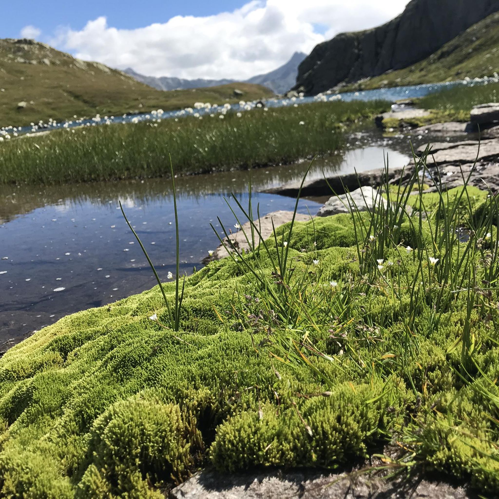
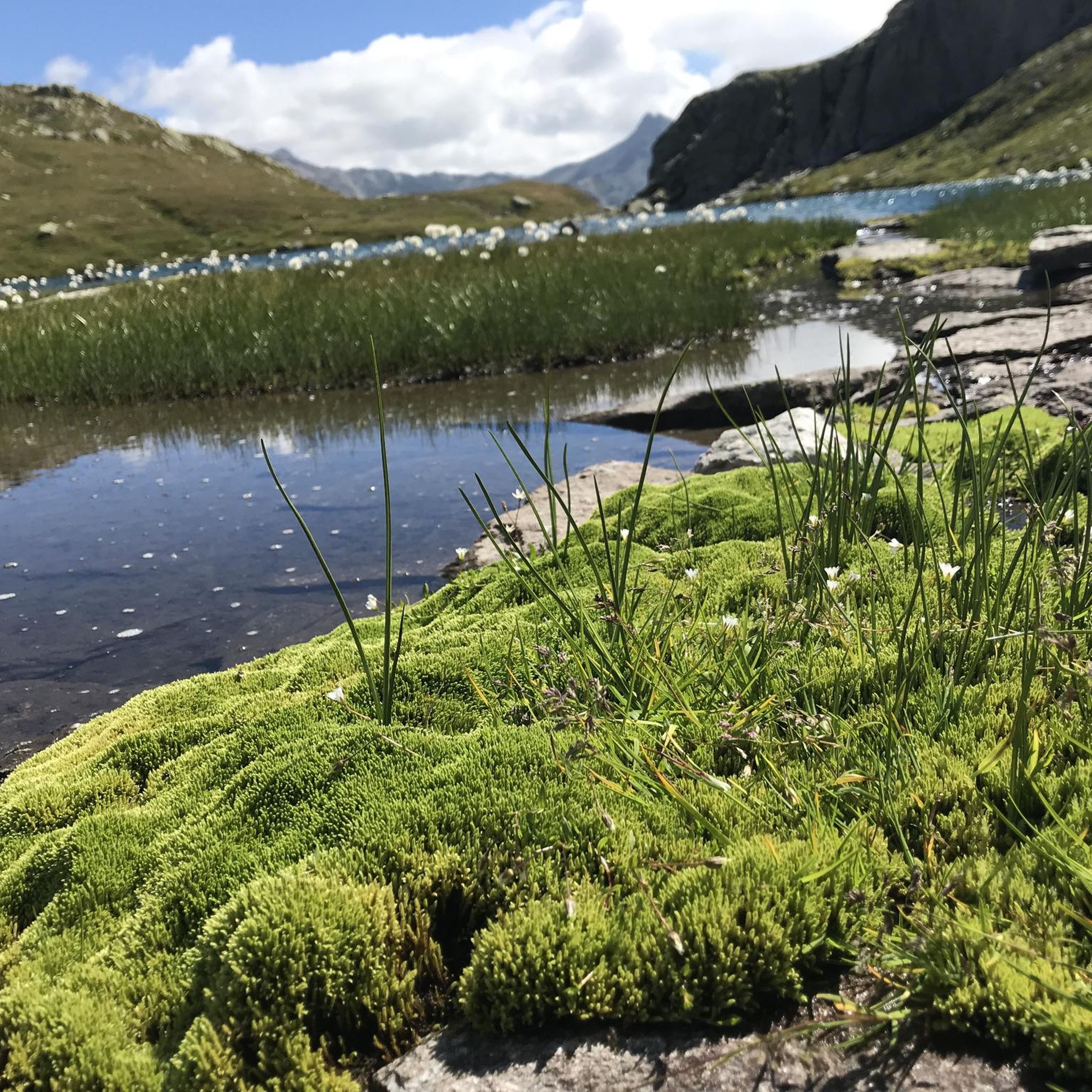
Hikers can expect to see stunning alpine vistas, the serene Lake Lucendro itself, and the massive Lucendro Dam. The region also features distinct high-alpine flora and geological formations. Some trails offer views of modern wind turbines as well.
Are there any historical sites to explore while hiking near Lake Lucendro?
Yes, the area around Lake Lucendro is rich in history. Hikers can discover abandoned Swiss military bunkers and old military artillery near the Lucendro Dam wall and along the foothills of the Alps, offering a glimpse into Swiss engineering and defense history.
Are the hiking trails around Lake Lucendro suitable for families with children?
Many trails around Lake Lucendro are suitable for families. Easy loops, such as the 3.9 km Lake Lucendro – View of the Lucendro Dam loop from San Carlo, are generally well-suited for all skill levels, including children.
Can I bring my dog on the hiking trails around Lake Lucendro?
Generally, dogs are welcome on hiking trails in Switzerland, but it's always advisable to keep them on a leash, especially in high-alpine environments where wildlife may be present or near grazing animals. Please ensure your dog is well-behaved and that you clean up after them.
Are there any circular hiking routes around Lake Lucendro?
Yes, there are several circular routes. A popular moderate option is The lakes of San Gottardo – circular tour, which is 10.4 km and allows you to explore multiple lakes in the area. Another is the Lago della Sella – Lago di Sella loop from Passo del San Gottardo.
How can I reach the hiking trails around Lake Lucendro by public transport?
Lake Lucendro is easily accessible from the Gotthard Pass. Public transport options, such as post buses, typically serve the Gotthard Pass area, from which a delightful 30-minute walk leads to the lake's shores and various trailheads.
Is there parking available for hikers near Lake Lucendro?
Yes, parking is generally available near the Gotthard Pass, which serves as a common starting point for hikes to Lake Lucendro. From the parking areas, you can access the trails leading to the lake and surrounding areas.
What is the best time of year to go hiking around Lake Lucendro?
The best time for hiking around Lake Lucendro is typically during the warmer months, from late spring to early autumn (June to September), when the snow has melted, and the trails are clear. The high-alpine environment means that conditions can change rapidly, so always check the weather forecast.
Most popular routes around Lake Lucendro

Get inspired with the komoot mobile app


Explore more
Browse the best Hikes in other regions.
