The best running trails around Lac de Mauvoisin
5.0
(1)
183
runners
9
runs
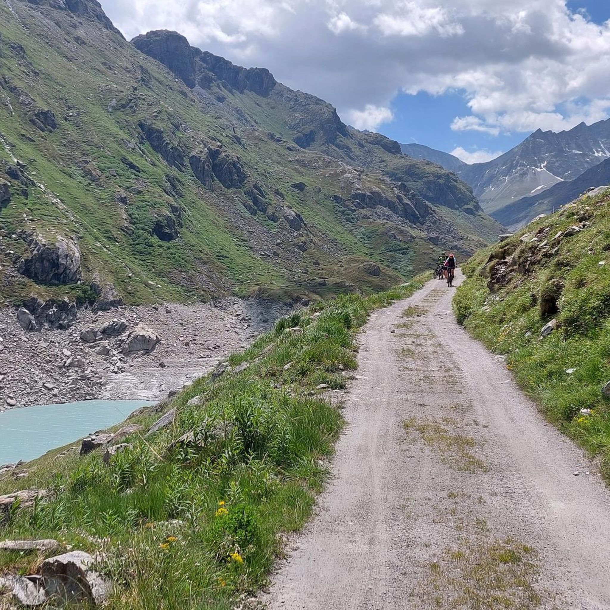
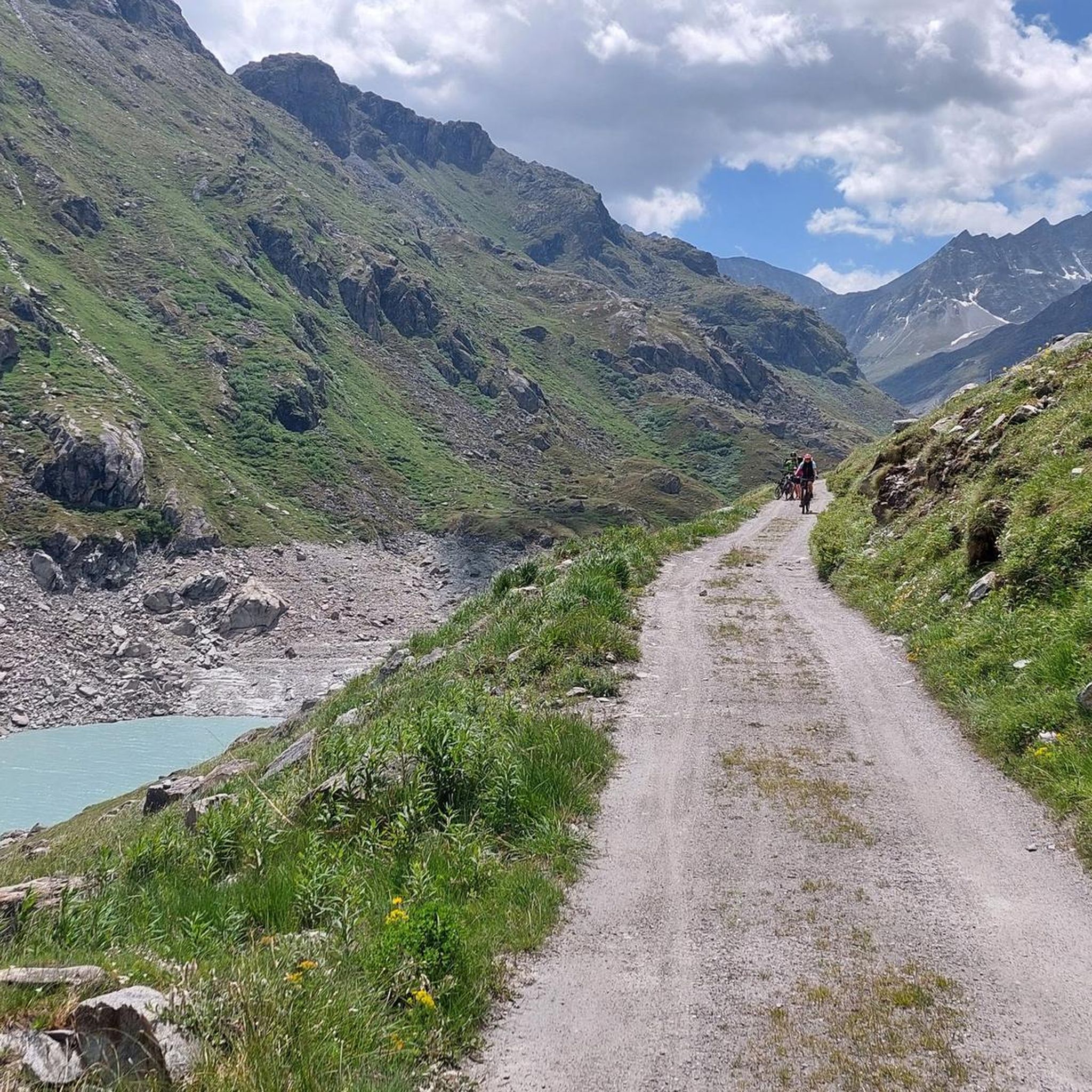
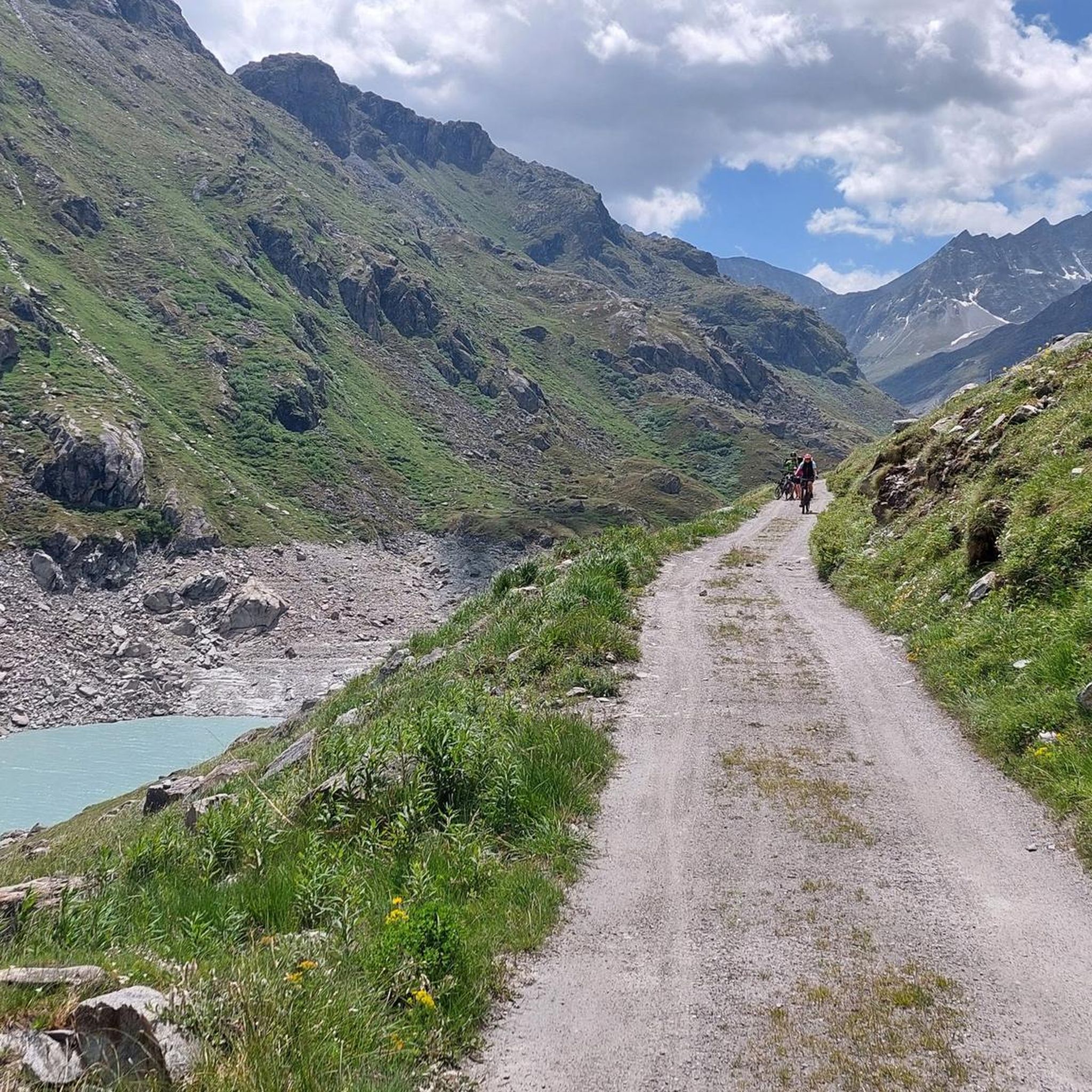
Jogging around Lac de Mauvoisin offers challenging routes within the Valais Alps of Switzerland. The region features a high-alpine environment with glacier-covered peaks, including views of the Grand Combin massif. Trails often incorporate the impressive Mauvoisin Dam and lead along the glacial lake, sometimes through tunnels and galleries. This mountainous terrain provides demanding running experiences with significant elevation changes.
Best jogging routes around Lac de Mauvoisin
- The most popular jogging route is Lac de Tsofeiret – Col de Tsofeiret loop…
Last updated: July 3, 2026
11
runners
10.6km
02:30
990m
990m
Hard run. Very good fitness required. Sure-footedness, sturdy shoes and alpine experience required.
7
runners
6.93km
01:24
490m
490m
Hard run. Very good fitness required. Sure-footedness, sturdy shoes and alpine experience required.

Sign up for free
8
runners
8.40km
01:52
700m
700m
Hard run. Very good fitness required. Sure-footedness, sturdy shoes and alpine experience required.
6
runners
7.08km
01:39
610m
610m
Hard run. Very good fitness required. Sure-footedness, sturdy shoes and alpine experience required.
43
runners
9.06km
02:48
770m
770m
This difficult 5.6-mile (9.1 km) jogging loop to Lac de Louvie from Fionay offers stunning alpine views and a significant 2540 feet (774 met
Get access to more routes and recommendations from other explorers.
Sign up for free
Already have an account?
Our route recommendations are based on thousands of hikes, rides, and runs completed by other people on komoot.
Start today with a free account
Your next adventure awaits.
Login or Signup
Popular around Lac de Mauvoisin
Tips from the Community


You may see families of wild goats as they don't seem to be bothered about people
0
0

A beautiful spot. The lake is perfect for a swim, the hut beckons you to sip a cold beer, and in the background, you can see a mountain landscape that speaks for itself.
0
0

Beautiful hut, great location, lovely people. When you check in, ask for the lift tickets for Verbier - if you plan to walk in that direction :-) otherwise you'll forget.
0
0
The Col des Otanes is located at an altitude of around 2880 m as a mountain pass between the Cabane FXB Panossière hut on the Corbassière glacier and Mauvoisin in the Dranse valley. Its pass is located between the Grand Tavé (southeast; 3158 m) and the Becca de Corbassière (north; 2690 m). Fascinating views of the nearby glacier and the Combin mountain massifs to the south can be seen. To the north, the view sweeps across the wide valley (Val de Bagnes) and across to the surrounding mountain ranges - including the striking Dents du Midi massif. The path here leads through red-brown or grey-black colored boulders and scree slopes. The path for the ascent to the Grand Tavé branches off to the east very close by.
2
0

A traditional alpine refuge, with magnificent views of the surrounding peaks, as well as the adjacent Lake Louvie. The refuge offers local and traditional food, drinks and accommodation, suitable for all mountain lovers. It is advisable to book through their website if you wish to stay, as it can become very popular in high season (summer months). More information is available at en.louvie.ch.
0
0
A spectacular alpine lake, with world-class views of the Grand Combin, perfectly framed by the valley in which the lake sits. The lake also offers excellent alpine trails leading to and from it, allowing for world-class technical alpine riding. These trails are multi-use and the lake is very popular with hikers, so be sure to watch out for pedestrians and be courteous. The lake also has a fantastic refuge on its banks, making it a great destination for a break along the way, with snacks, drinks and sunbathing.
0
0
A secluded and serene mountain lake, located between Verbier and Fionnay. The valley in which the lake is located perfectly frames the Grand Combin, offering views from this magnificent lake of photographic perfection. On the banks you will also find the refuge, making this place an ideal destination for a challenging but rewarding run.
0
0
Frequently Asked Questions
What is the general difficulty level of running routes around Lac de Mauvoisin?
The running routes around Lac de Mauvoisin are primarily challenging and designed for experienced trail runners. All 12 routes listed in this guide are rated as difficult, featuring significant elevation changes and high-alpine terrain. For example, the Lac de Tsofeiret – Col de Tsofeiret loop covers 21.1 km with nearly 1000 meters of ascent.
What unique natural features or landmarks can I expect to see while running near Lac de Mauvoisin?
Runners will encounter a dramatic high-alpine landscape, including views of glacier-covered peaks like the Grand Combin massif. The impressive Mauvoisin Dam, Europe's highest arch dam, is a prominent feature. Many trails lead along the stunning turquoise glacial lake and often incorporate former construction tunnels and galleries, offering a unique experience. You might also spot alpine wildlife such as chamois, marmots, and ibex.
Are there any family-friendly running or walking options around Lac de Mauvoisin?
Due to the demanding nature of the terrain, Lac de Mauvoisin is not typically known for easy, family-friendly jogging paths. The routes are generally challenging with steep climbs and descents. While some sections might be walkable for families with older, experienced hikers, dedicated easy running trails suitable for young children are not common in this high-alpine environment.
Can I bring my dog on the running trails around Lac de Mauvoisin?
The wild landscape around Lac de Mauvoisin is part of Switzerland's second-largest nature reserve. While dogs are generally permitted on hiking trails in Switzerland, it's always advisable to keep them on a leash, especially in areas with wildlife or near grazing animals. Given the challenging terrain, ensure your dog is fit enough for strenuous alpine runs.
What is the best time of year to go running in the Lac de Mauvoisin region?
The best time for running around Lac de Mauvoisin is typically during the summer months, from late June to early October, when the trails are free of snow and the weather is most favorable. Outside of this period, conditions can be very challenging due to snow, ice, and colder temperatures, making many routes inaccessible or dangerous for running.
Are there any circular running routes available?
Yes, many of the routes around Lac de Mauvoisin are circular, allowing you to start and finish at the same point, often near the Mauvoisin Dam. Examples include the challenging Col des Otanes loop (10.9 km) and the shorter Le Chantier d'Elmer loop (6.9 km), both starting from Barrage de Mauvoisin.
How can I reach Lac de Mauvoisin by public transport?
Public transport access to Lac de Mauvoisin is possible, typically via post bus services. These services often connect from larger towns in the Val de Bagnes region to the Mauvoisin Dam. It's recommended to check the current post bus schedules in advance, as services may be seasonal or less frequent, especially outside of peak summer months.
Are there parking facilities available for runners at Lac de Mauvoisin?
Yes, parking is generally available near the Mauvoisin Dam, which serves as a common starting point for many of the running and hiking trails. However, during peak season, spaces can fill up quickly, so arriving early is advisable.
What do other runners enjoy about the trails around Lac de Mauvoisin?
Over 290 runners have used komoot to explore Lac de Mauvoisin's varied terrain. They frequently praise the breathtaking high-alpine scenery, the unique experience of running through tunnels and galleries, and the impressive views of the Mauvoisin Dam and the glacial lake. The challenging nature of the routes is also a draw for those seeking a demanding trail running experience.
Are there any mountain huts or places to get refreshments along the running routes?
Yes, some longer trails in the region lead to welcoming mountain huts, such as Cabane Chanrion. These huts offer opportunities for rest, refreshments, and even overnight stays, which can be beneficial for longer excursions or multi-day trail running adventures. Always check their opening times in advance.
Do I need any permits for running or hiking around Lac de Mauvoisin?
Generally, no specific permits are required for recreational running or hiking on the established trails around Lac de Mauvoisin. However, as the area is part of a nature reserve, it's important to respect local regulations, stay on marked paths, and practice Leave No Trace principles to protect the fragile alpine environment.
What kind of terrain can I expect on the running paths?
The running paths around Lac de Mauvoisin feature varied and often rugged high-alpine terrain. You can expect a mix of rocky trails, gravel paths, and sometimes narrow singletracks. Many routes involve steep ascents and descents, and some sections may lead through tunnels or along exposed mountain sides, requiring good footing and appropriate trail running footwear.
Most popular attractions around Lac de Mauvoisin

Get inspired with the komoot mobile app


Explore more
Browse the best Running Trails & Routes in other regions.
