The best road cycling routes around Oughtagh
17
riders
3
rides
Road cycling around Oughtagh offers diverse landscapes, including rolling hills, scenic valleys, and quiet country lanes. The area is situated near the Sperrin Mountains, an Area of Outstanding Natural Beauty, providing varied terrain for cyclists. Routes often feature well-paved surfaces, with some venturing into areas with significant elevation changes. The region is characterized by its natural beauty, including the Faughan Valley and nearby forest parks.
Best road cycling routes around Oughtagh
- The most popular road cycling route is Gosheden Wood…
Last updated: June 28, 2026
6
riders
34.7km
01:40
350m
350m
Moderate road ride. Good fitness required. Mostly well-paved surfaces and easy to ride.
3
riders
41.4km
02:03
430m
430m
Moderate road ride. Good fitness required. Mostly well-paved surfaces and easy to ride.

Sign up for free
3
riders
48.2km
02:21
530m
530m
Moderate road ride. Good fitness required. Mostly well-paved surfaces and easy to ride.
3
riders
31.3km
01:24
310m
310m
Moderate road ride. Good fitness required. Some segments of this route may be unpaved and difficult to ride.
2
riders
33.1km
02:00
530m
530m
Moderate road ride. Good fitness required. Mostly well-paved surfaces and easy to ride.
Our route recommendations are based on thousands of hikes, rides, and runs completed by other people on komoot.
Start today with a free account
Your next adventure awaits.
Login or Signup
Popular around Oughtagh
Tips from the Community

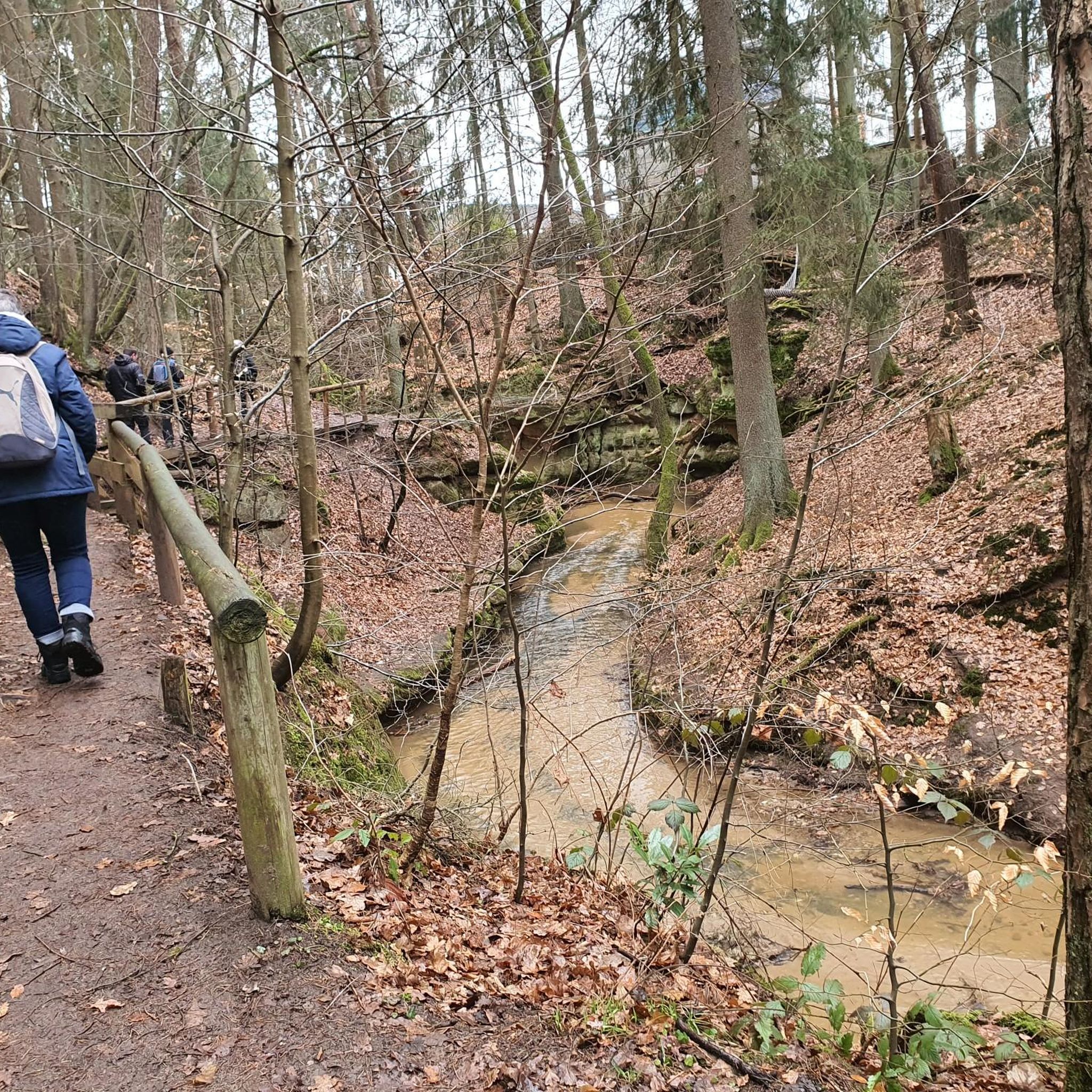
Learmount Wood is located at the foothills of the northern face of the Sperrins in Northern Ireland. The forest features a wonderful diversity of tree species, including some that have been there for over 100 years. It's a beautiful place for a stroll, featuring a stream and an abandoned mansion dating back to the 1830s.
1
0

Altinaghree Castle is also known as Liscloon House and it thought to have been built in 1860 by William Ogilby
1
0
Frequently Asked Questions
What kind of terrain can I expect on road cycling routes around Oughtagh?
Road cycling around Oughtagh features a diverse landscape, including rolling hills, scenic valleys, and quiet country lanes. While routes are generally well-paved, some segments might include unpaved sections, especially when venturing into the Sperrin Mountains. The area offers a mix of terrain suitable for various fitness levels.
Are there road cycling routes suitable for beginners or those seeking an easier ride?
Yes, Oughtagh offers routes suitable for beginners. For instance, the Derry Girls Mural – Peace Bridge loop from Drumahoe is an easy 19.4-mile (31.2 km) path that combines natural scenery with urban landmarks like the Peace Bridge over the River Foyle, making it a great option for a more relaxed ride.
What are some challenging road cycling routes for experienced riders?
For experienced riders seeking more demanding rides, routes venturing into the Sperrin Mountains provide significant elevation changes and challenging climbs. While specific routes are not detailed in the provided data, the region research indicates that routes like the 'Draperstown, Gortin and Plumbridge loop' traverse the Sperrin Mountains, offering rewarding ascents and expansive views.
Are there any circular road cycling routes around Oughtagh?
Yes, many of the routes around Oughtagh are designed as loops. Examples include the Gosheden Wood loop from Legaghory, a moderate 21.4-mile (34.5 km) trail, and the Learmount Wood loop from Claudy, which is 19.4 miles (31.3 km) and takes you through varied woodland terrain.
What natural attractions or landmarks can I see while cycling in the Oughtagh area?
The Oughtagh area is rich in natural beauty. You can explore the picturesque Faughan Valley, traverse parts of the Sperrin Mountains, or cycle through diverse woodland environments in places like Learmount Forest and Garvagh Forest. Routes near Derry/Londonderry also offer views of urban landmarks such as the Peace Bridge over the River Foyle.
Is Oughtagh a good destination for family-friendly road cycling?
Yes, Oughtagh offers options for family-friendly cycling. The diverse network includes easier rides with modest elevation gains, such as the Derry Girls Mural – Peace Bridge loop from Drumahoe, which is classified as easy and suitable for a family outing. The quiet country lanes and scenic valleys provide a pleasant environment for all ages.
What is the best time of year to go road cycling in Oughtagh?
The best time to go road cycling in Oughtagh is generally during the warmer, drier months, typically from late spring to early autumn. This period offers more favorable weather conditions for enjoying the scenic routes and diverse landscapes, especially when venturing into the Sperrin Mountains.
Are there any specific routes that offer particularly scenic views or viewpoints?
Many routes in the Oughtagh area offer scenic views, particularly those that venture into the Sperrin Mountains. These routes provide challenging climbs rewarded with expansive panoramic views over the undulating terrain. The Faughan Valley also offers picturesque scenery along its cycleways.
Are there facilities like cafes or pubs along the road cycling routes in Oughtagh?
While specific cafes or pubs directly on the routes are not detailed, the region research mentions Oughtagh's proximity to towns like Claudy, Eglinton, and Derry/Londonderry. These towns would offer various amenities, including cafes, pubs, and accommodation, where cyclists can refuel and rest.
What is the average distance and elevation gain for road cycling routes in Oughtagh?
The routes around Oughtagh vary in distance and elevation. For example, the Gosheden Wood loop from Legaghory is 21.4 miles (34.5 km) with an elevation gain of approximately 351 meters. Another route, Rough Fort loop from Eglinton, covers 25.7 miles (41.4 km) with about 431 meters of elevation gain, showcasing the varied challenges available.
How many road cycling routes are available around Oughtagh?
There are several road cycling routes available around Oughtagh. This guide highlights 5 top routes, but the region offers a broader network of options for different ability levels, from easy rides to more challenging ascents, particularly when exploring the Sperrin Mountains and Faughan Valley.
Most popular routes around Oughtagh

Get inspired with the komoot mobile app


Explore more
Browse the best Road cycling routes in other regions.
